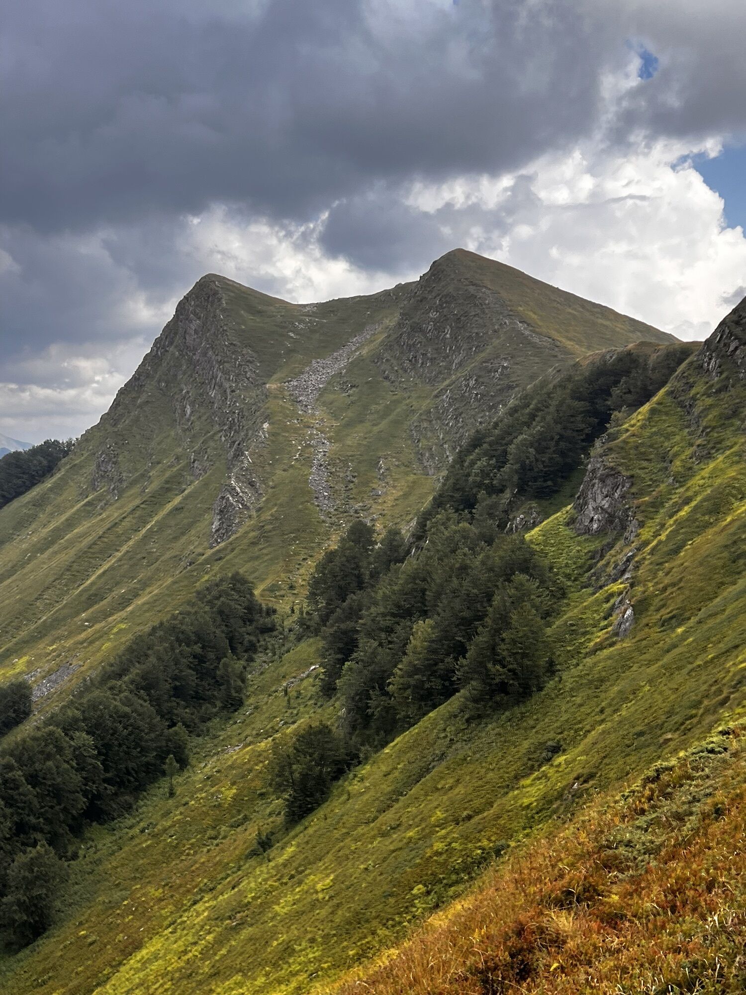
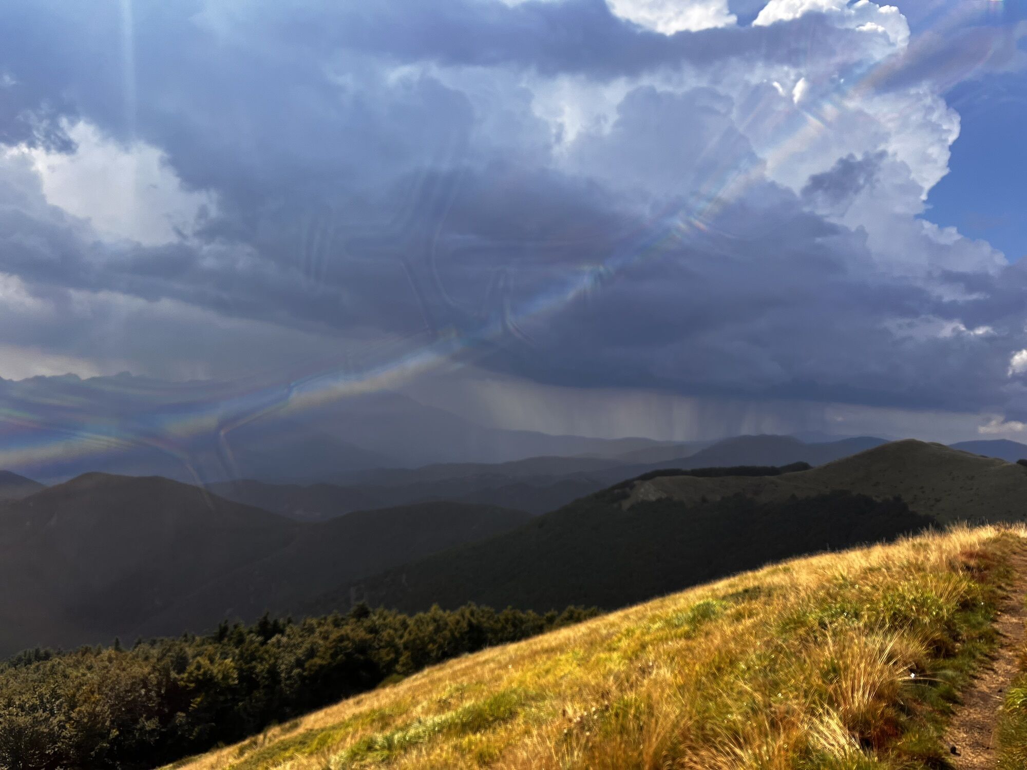
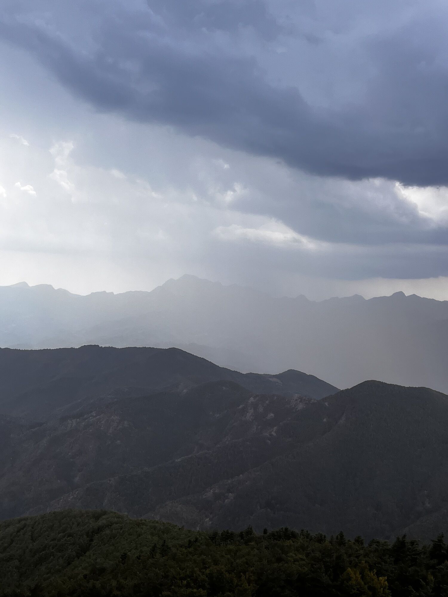
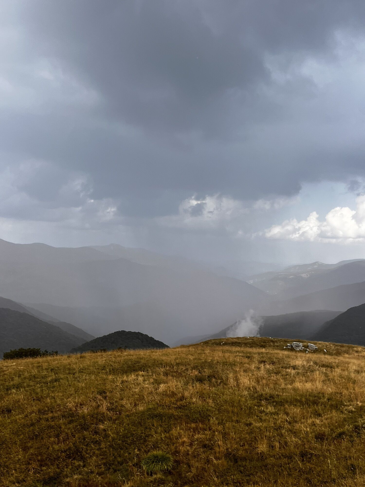
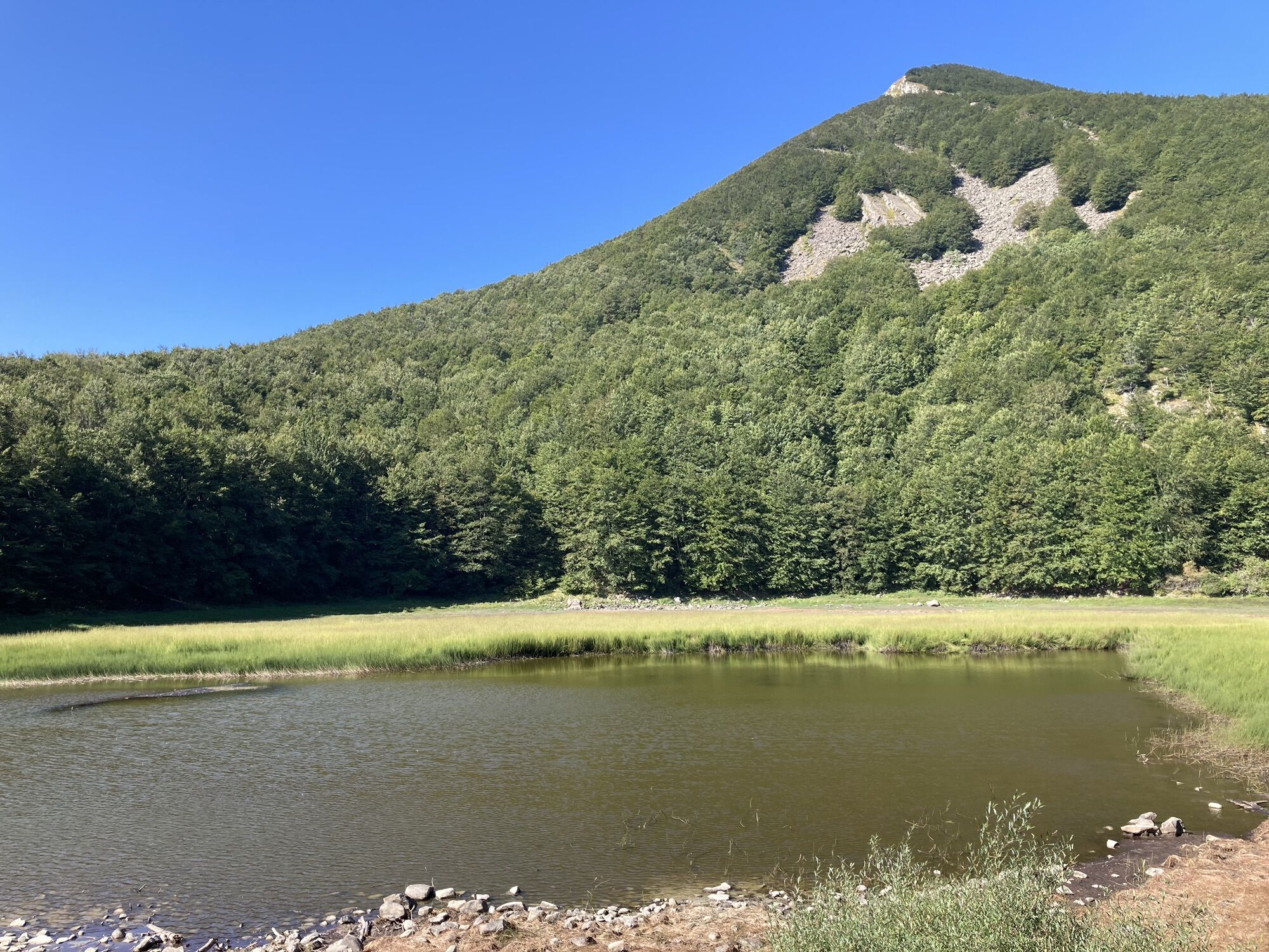
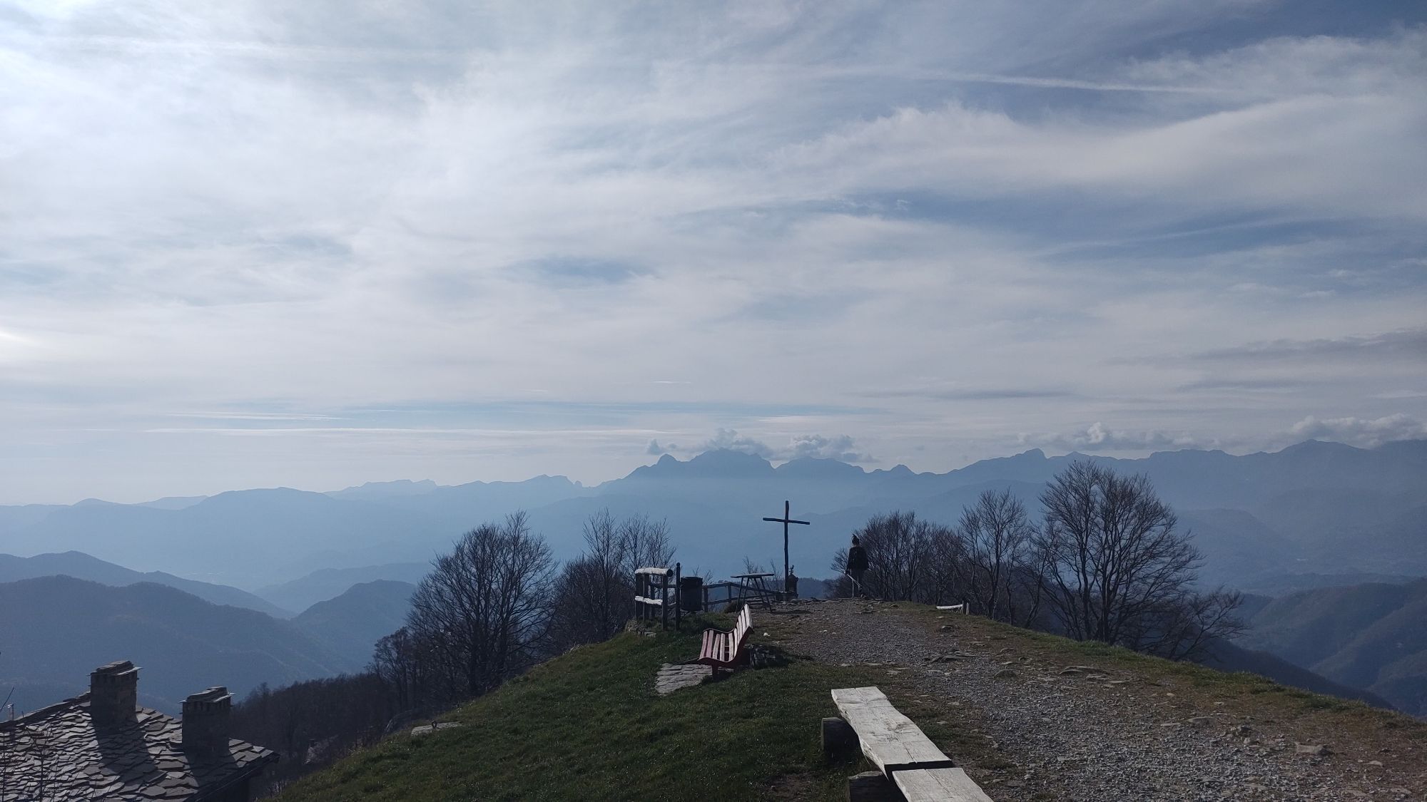
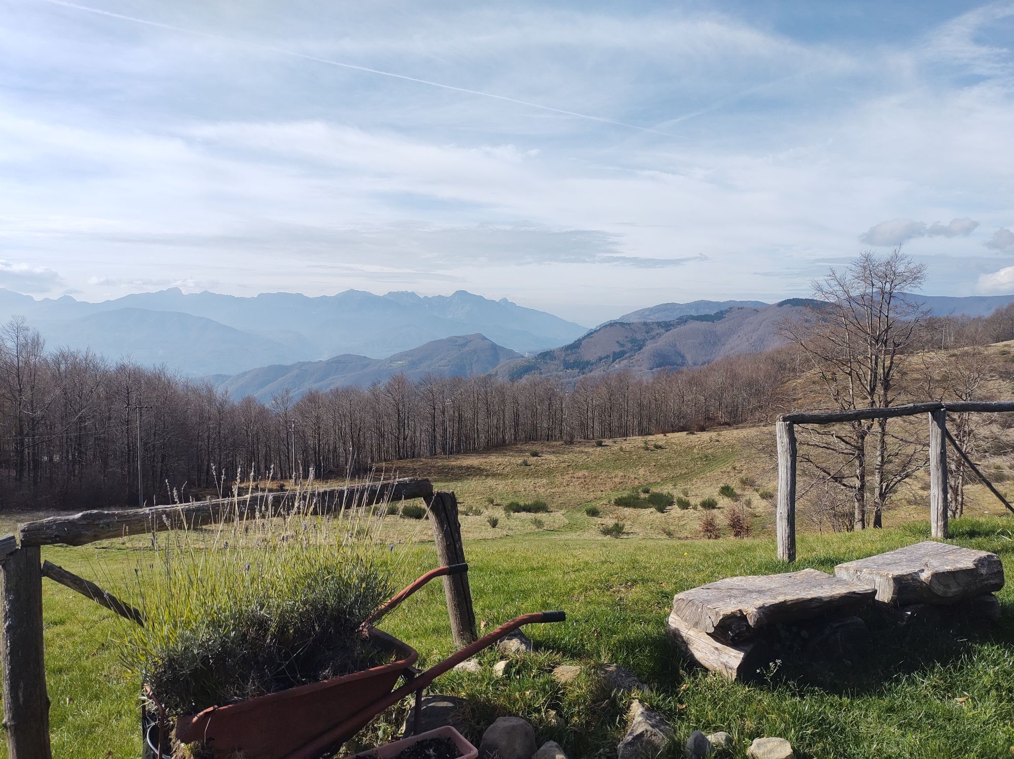
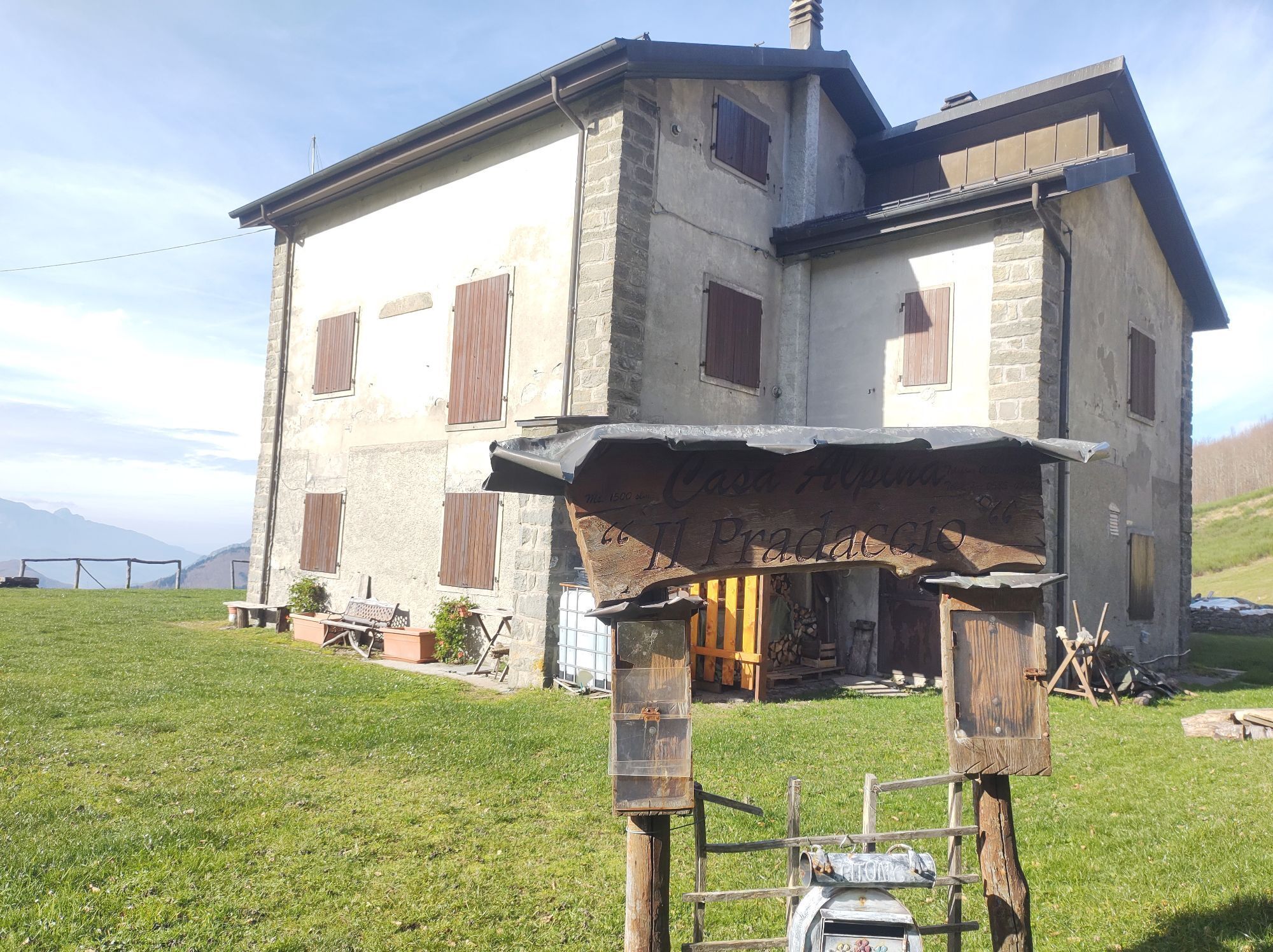
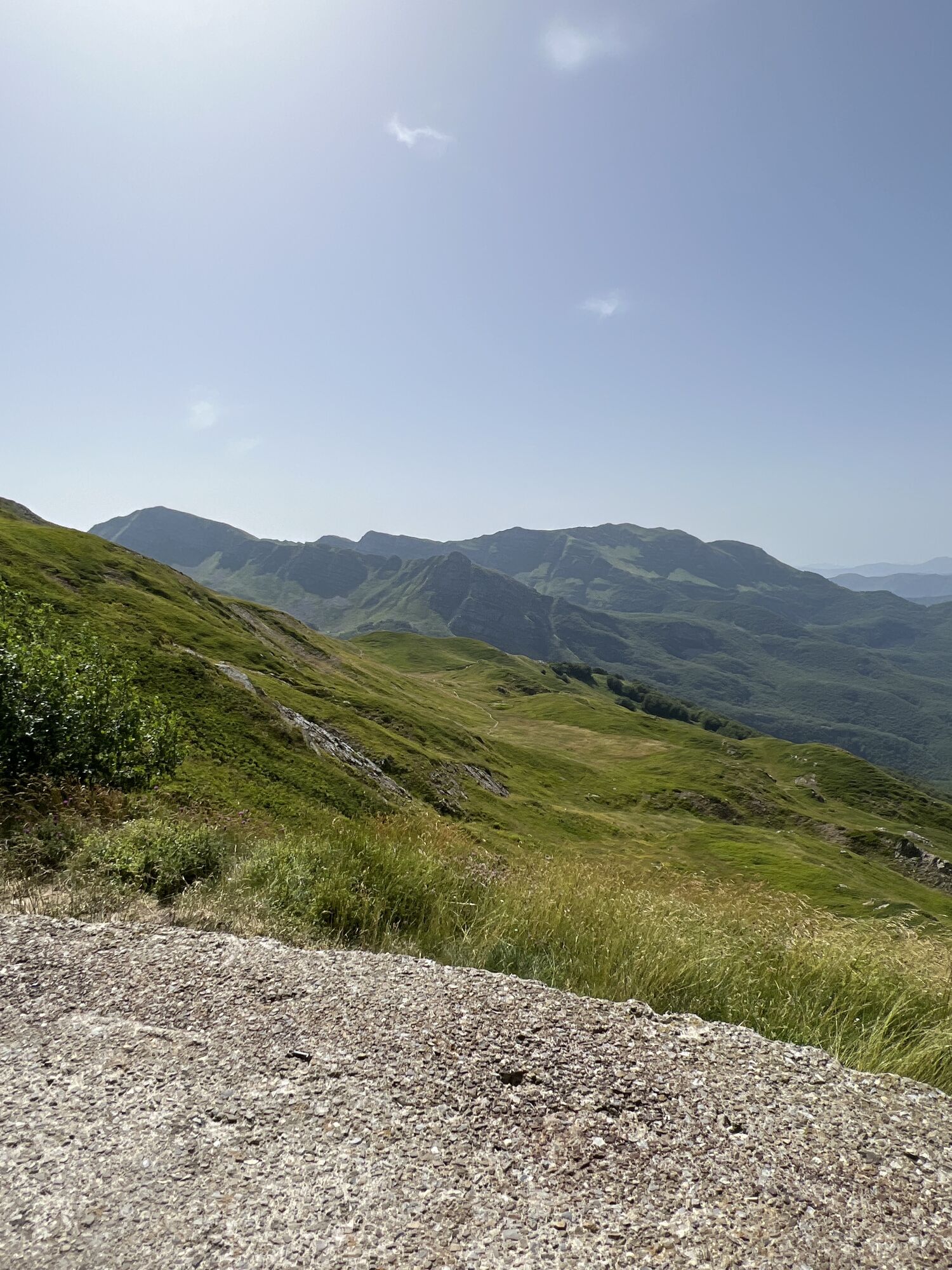
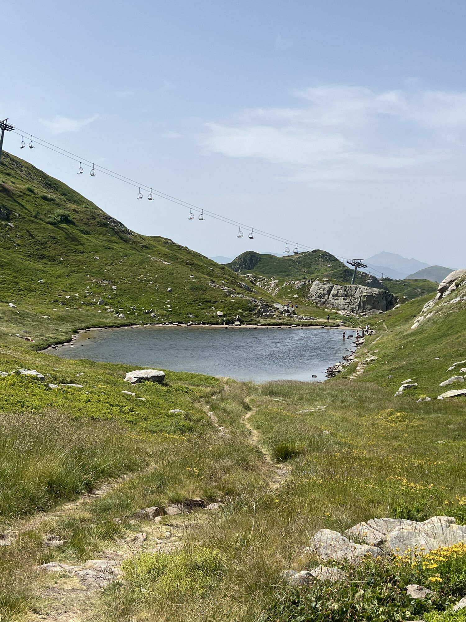
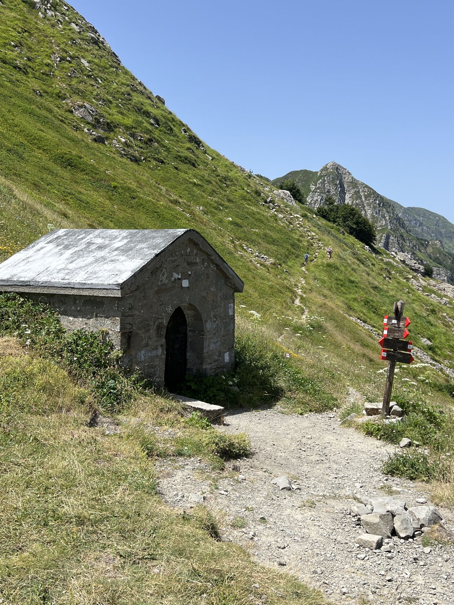
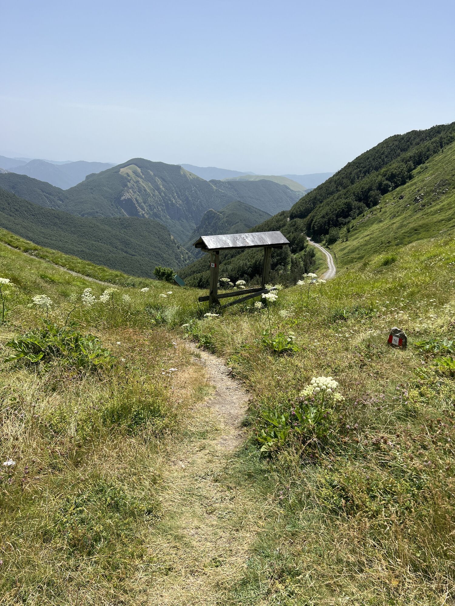
Passo dei Codognini - Fabei - Monte Sillara - Boscolungo
moyen
Naviguer
Naviguer
Télécharge cette visite sur ton portable
Passo dei Codognini - Fabei - Monte Sillara - Boscolungo
moyen
Randonnée
156,71
km
Scanner le code QR et commencer la navigation dans l'application bergfex

Randonnée & tracking


Passo dei Codognini - Fabei - Monte Sillara - Boscolungo
moyen
Distance
156,71
km
Durée
04:25
h
Ascension
7.484
m
Altitude
957 -
1.874
m
Téléchargement de la piste
Passo dei Codognini - Fabei - Monte Sillara - Boscolungo
moyen
Randonnée
156,71
km
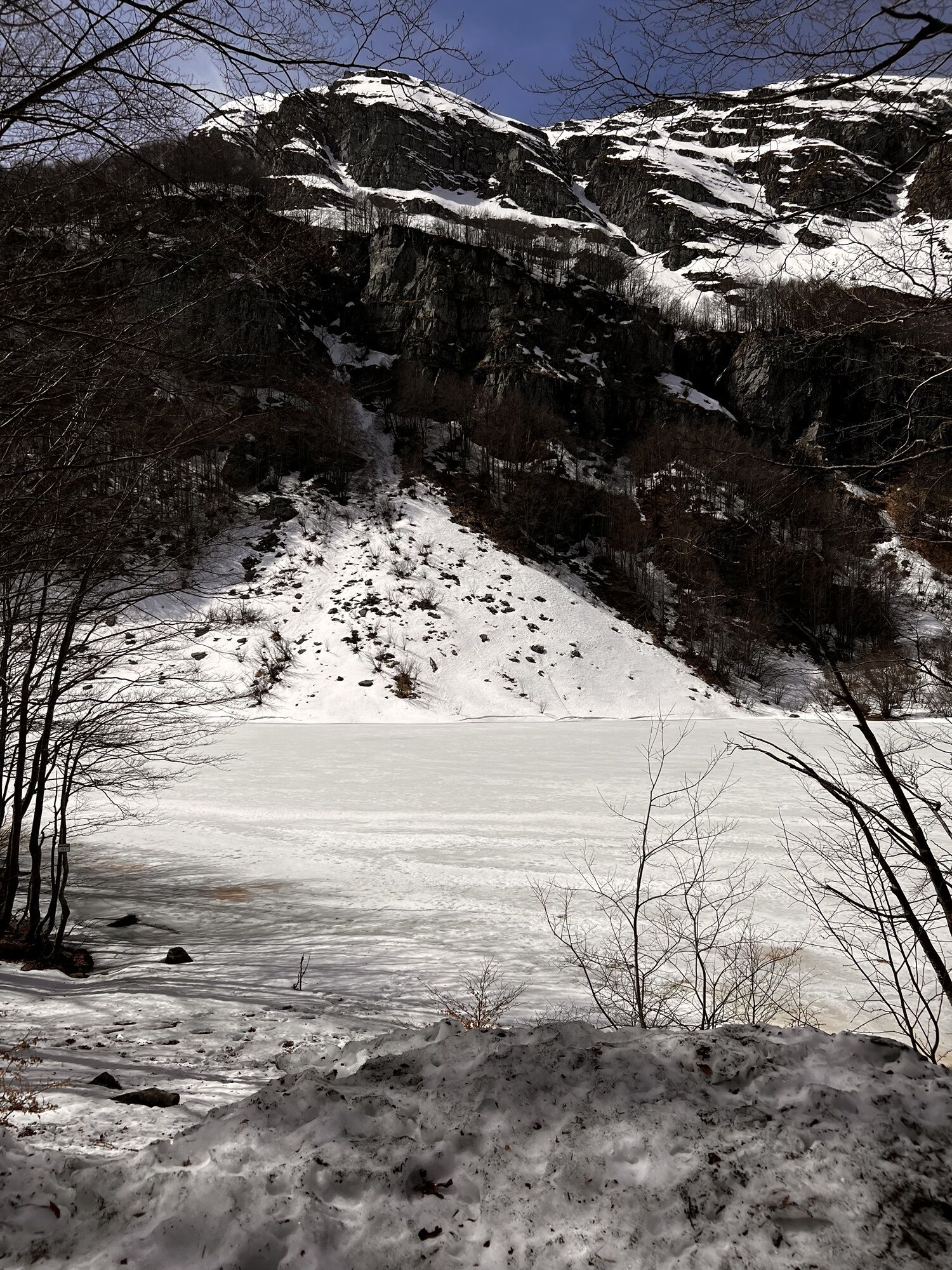
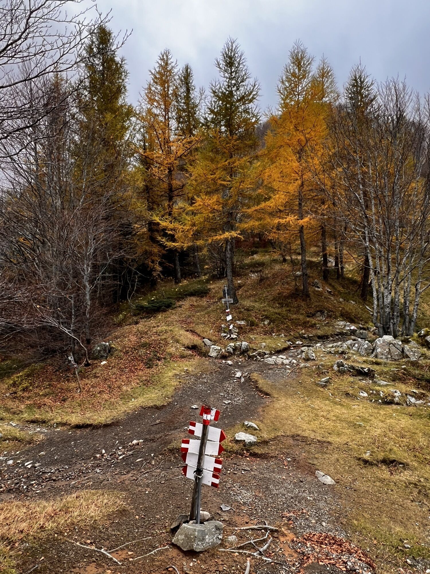
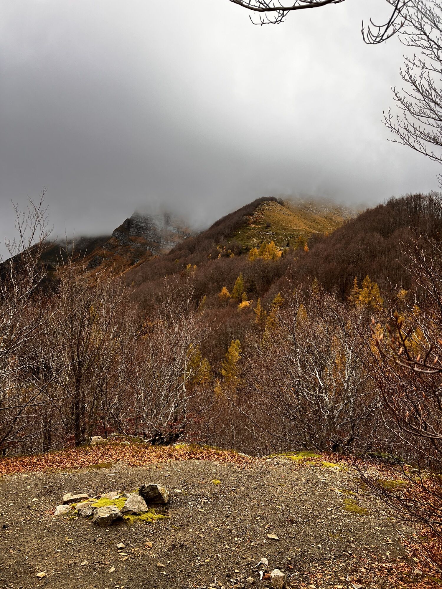
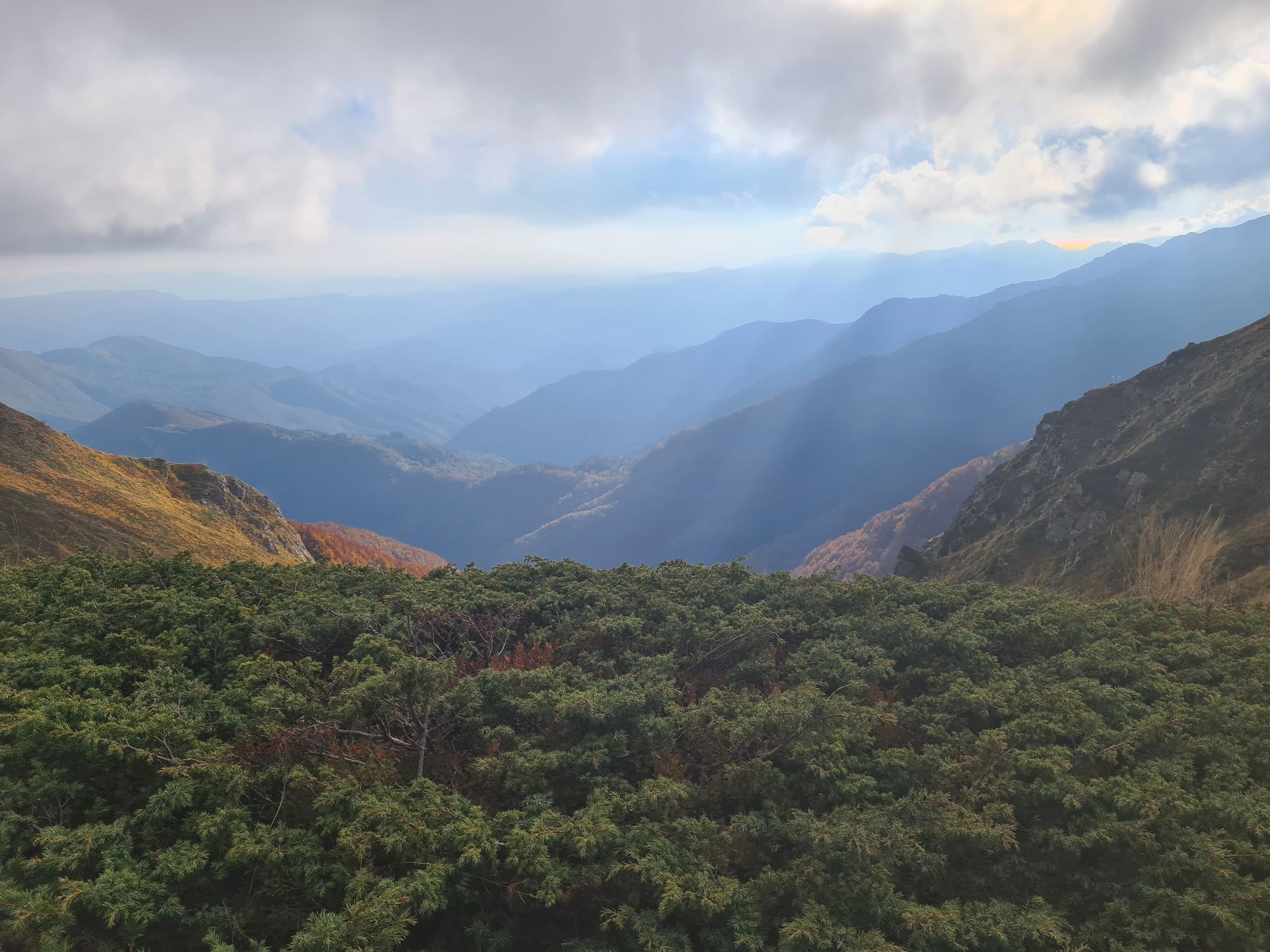
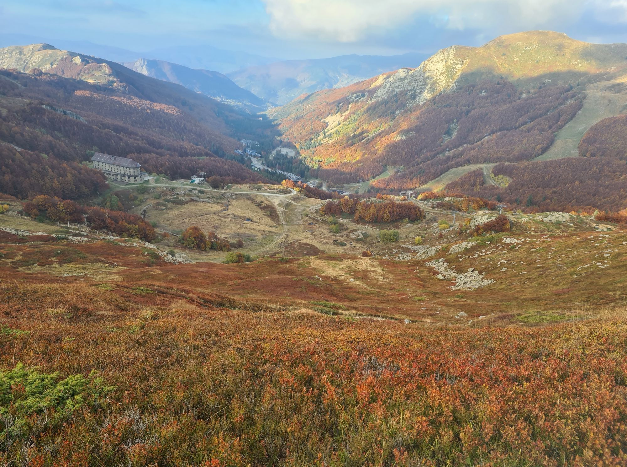
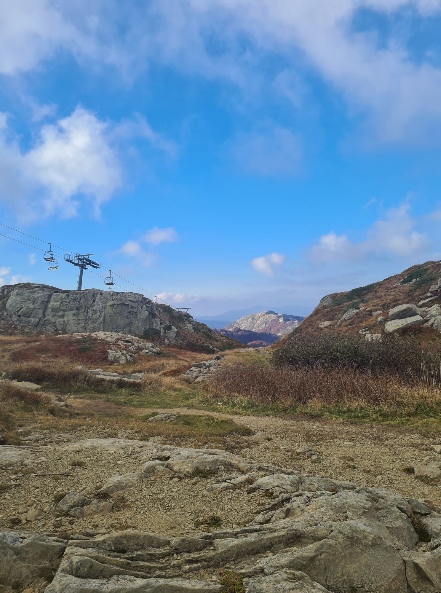
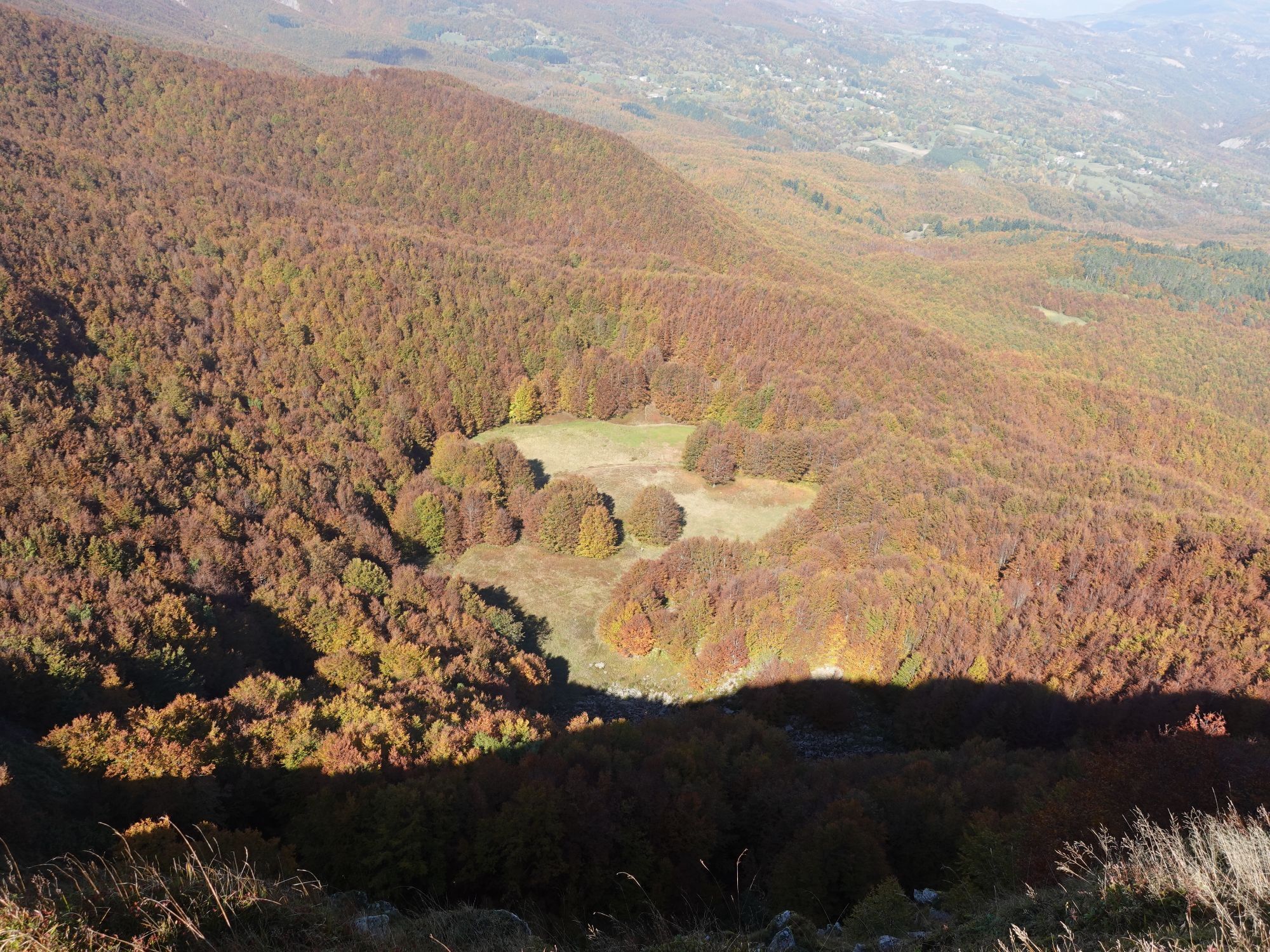
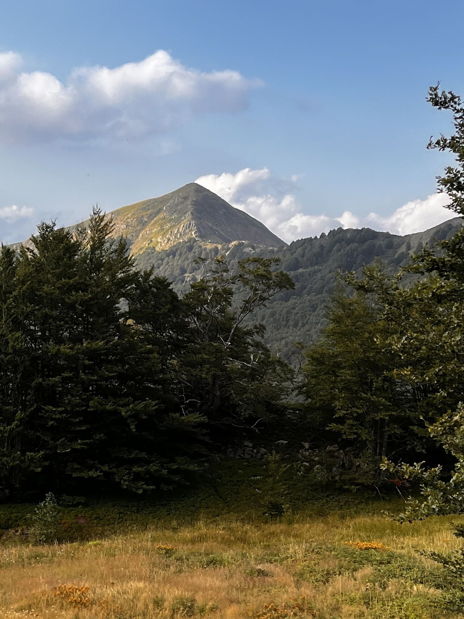
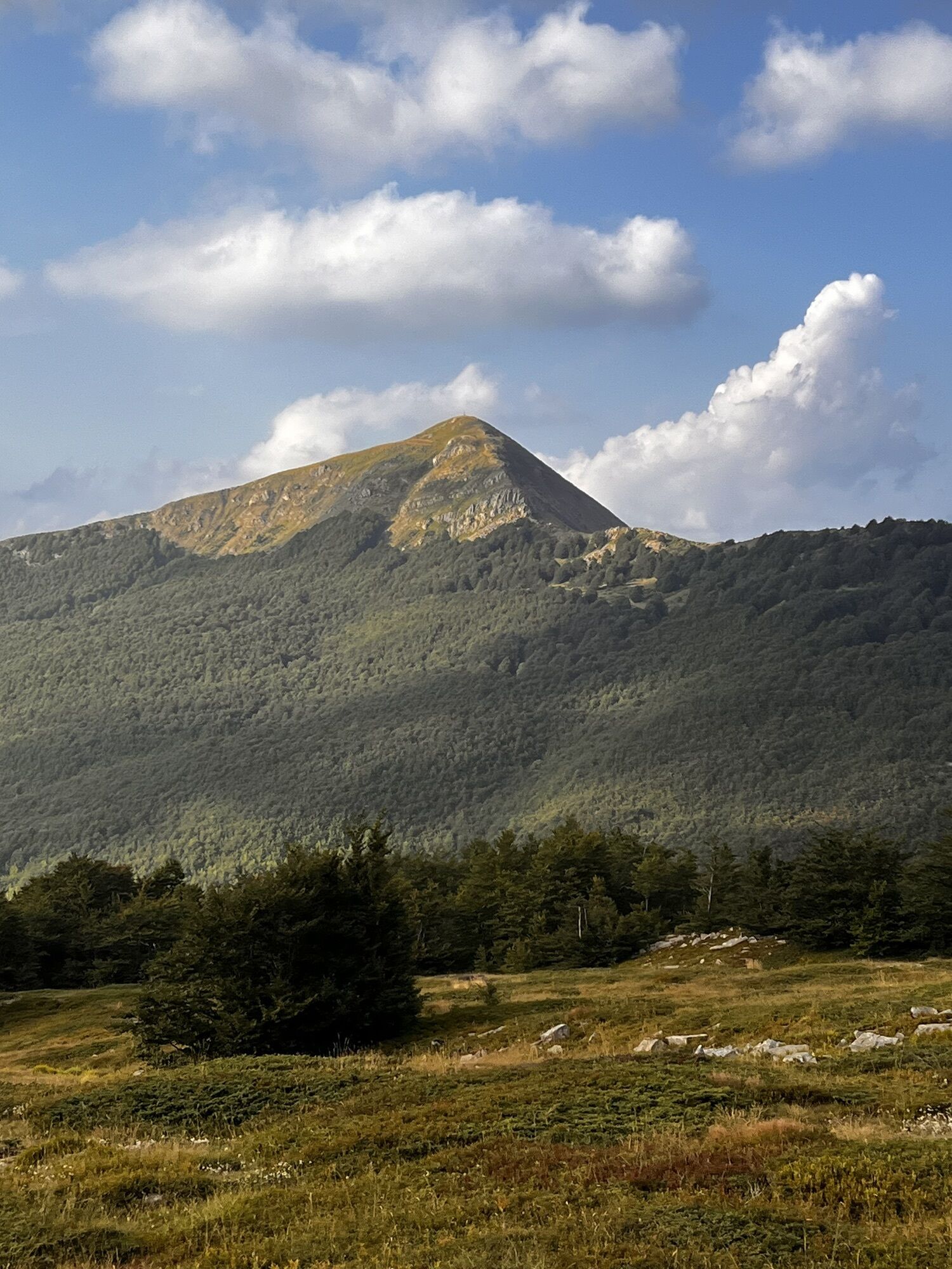
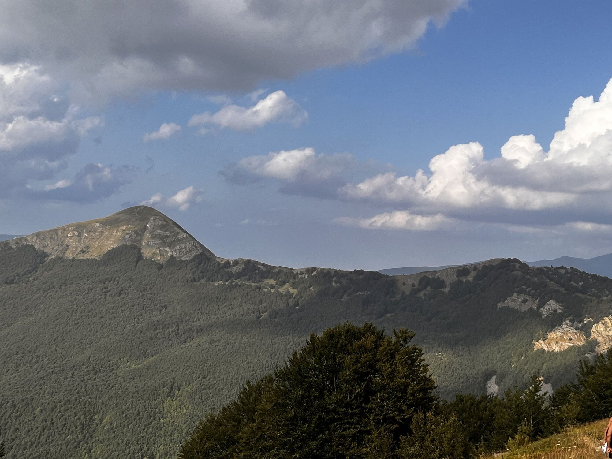
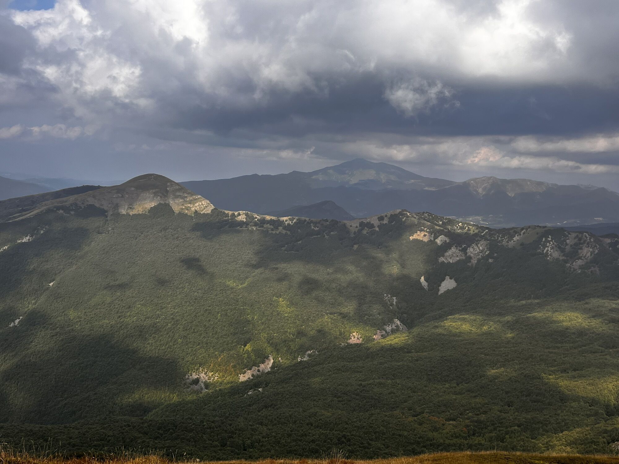
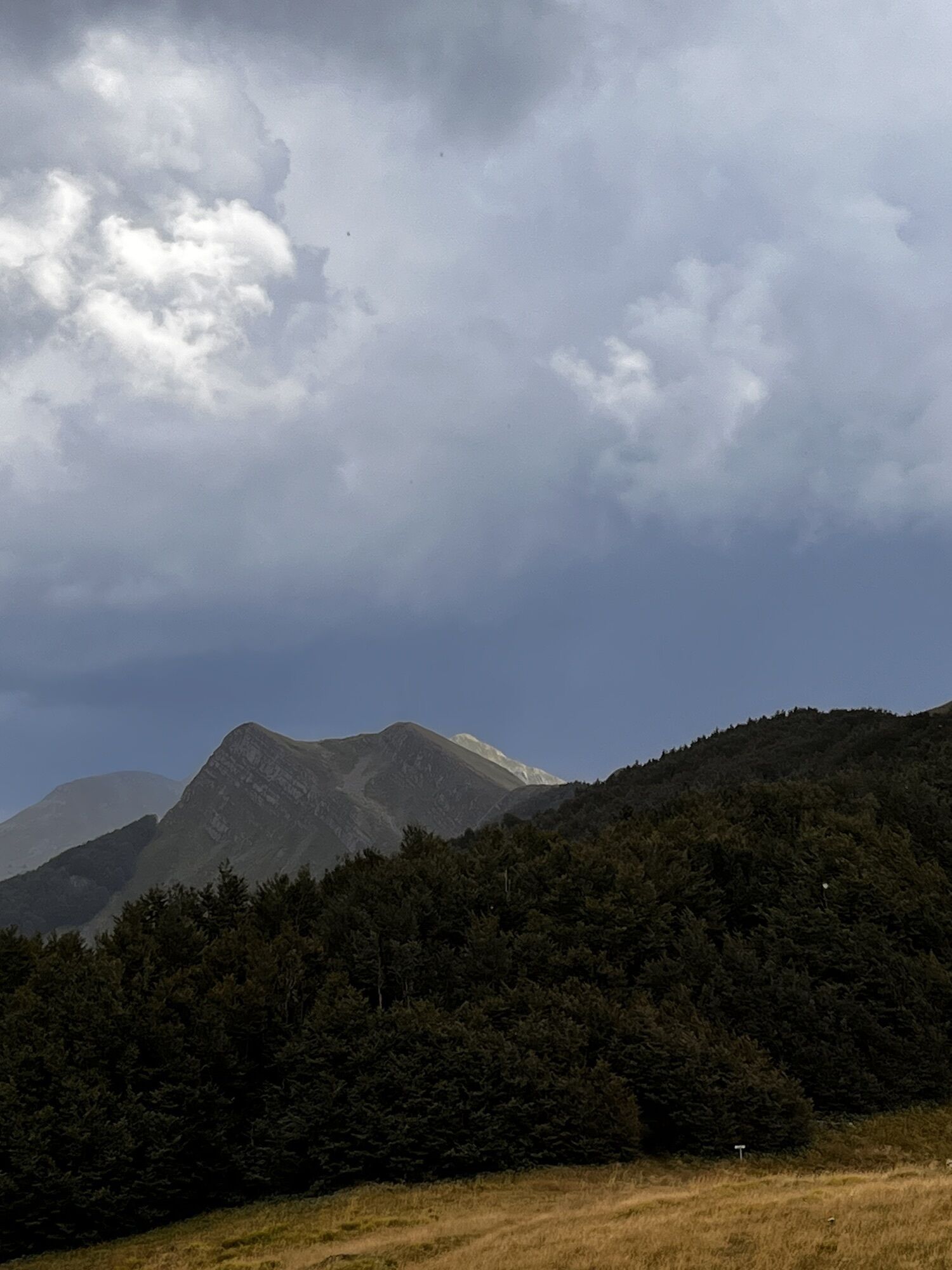
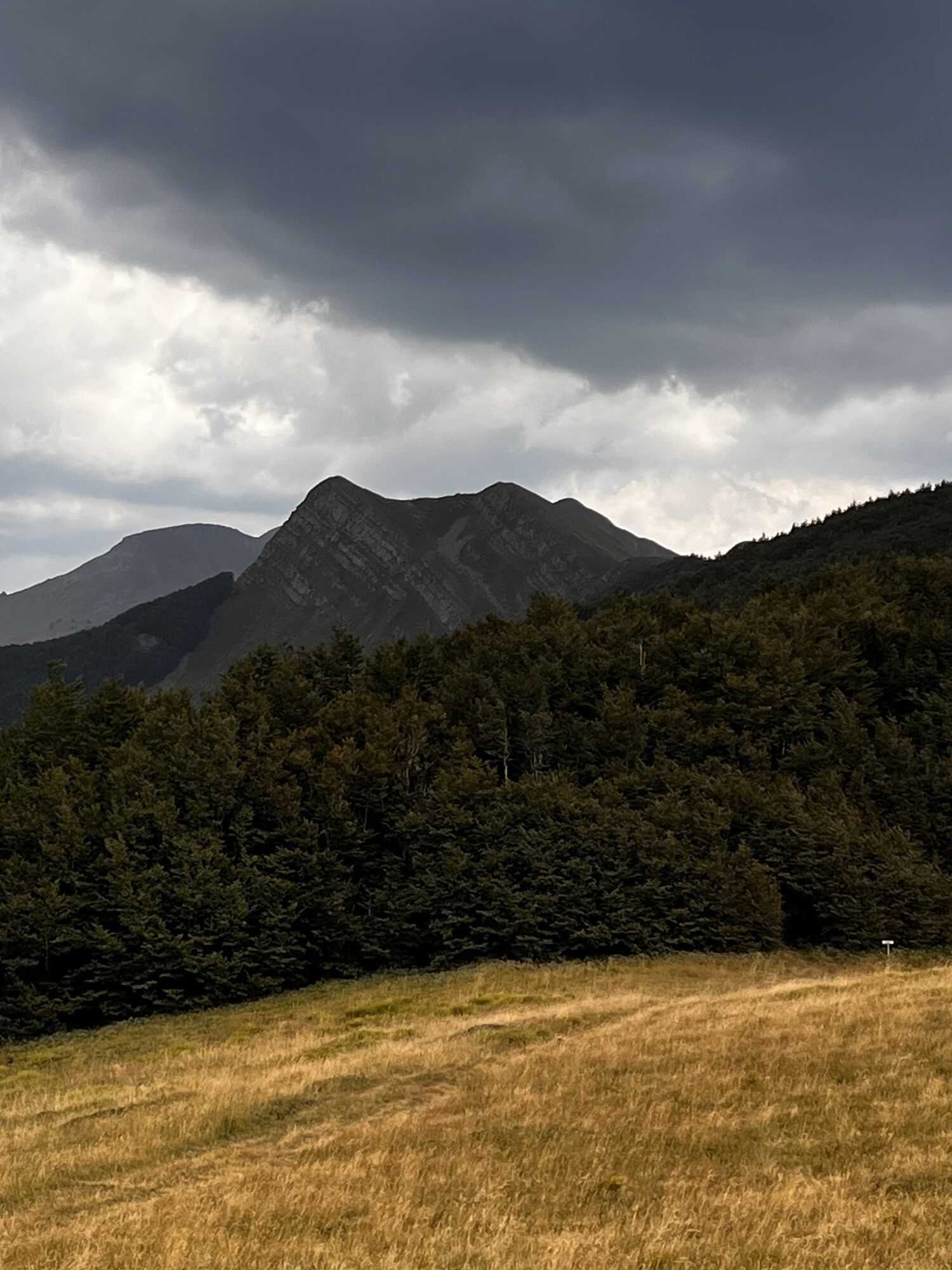
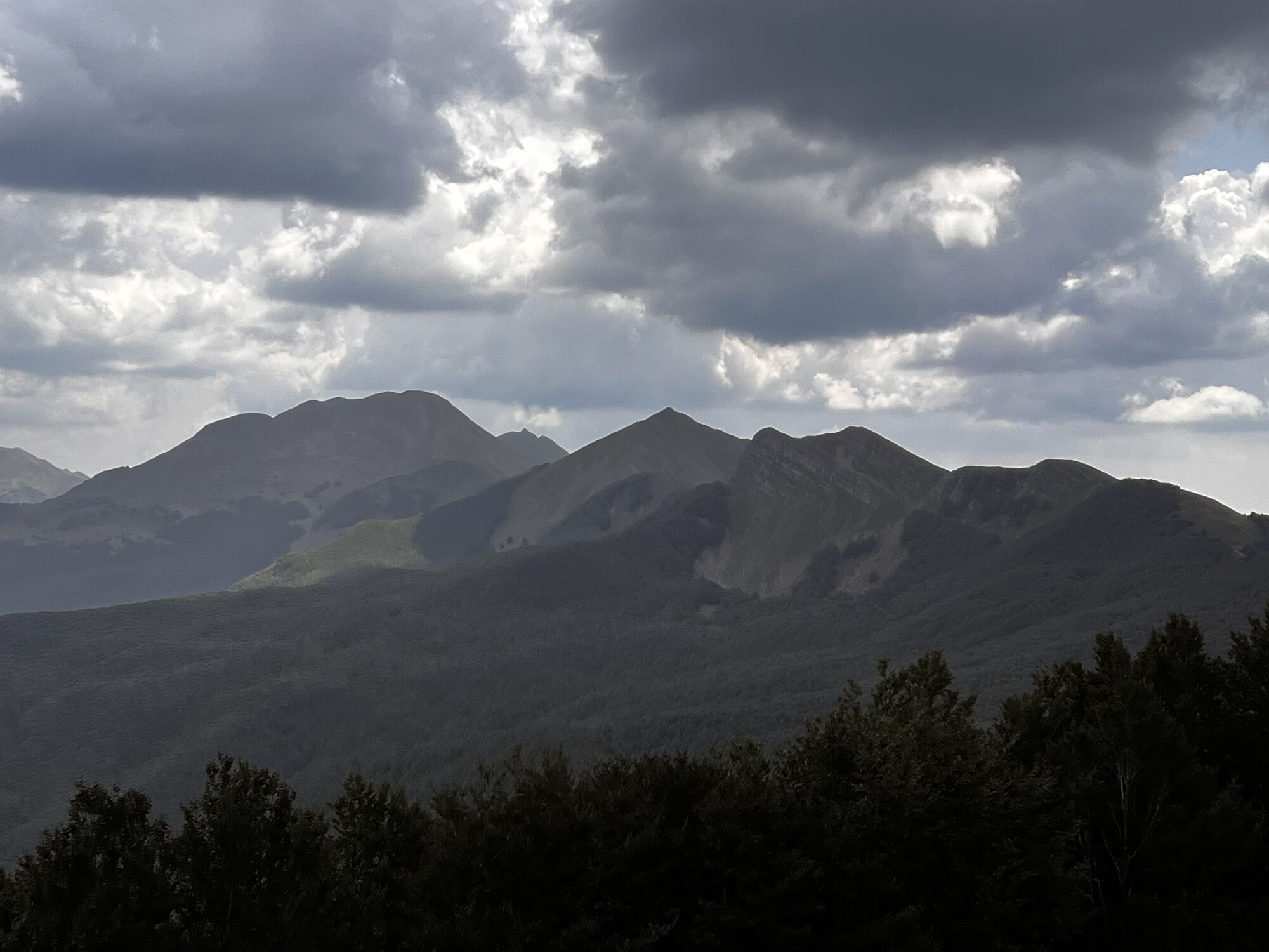
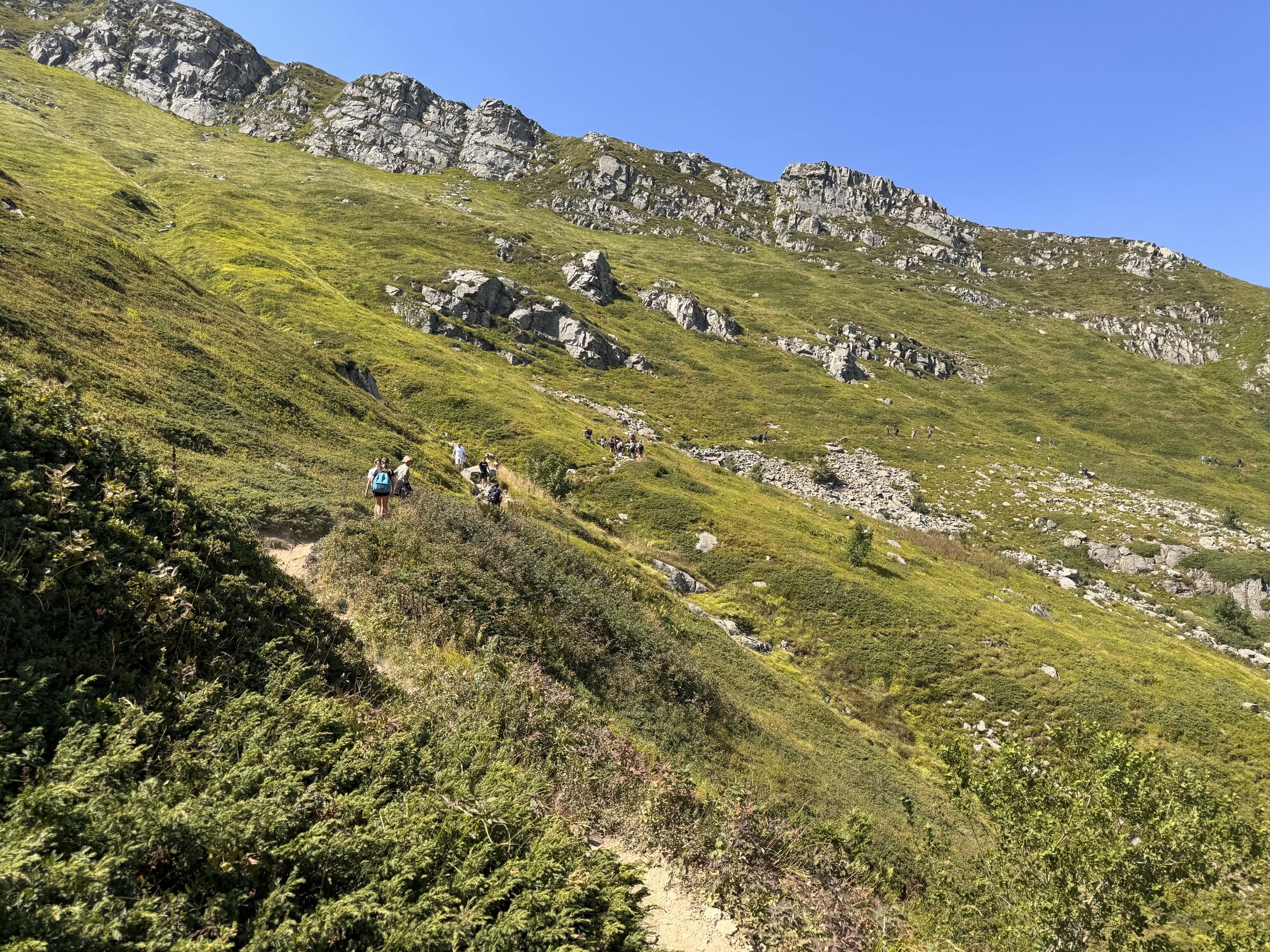
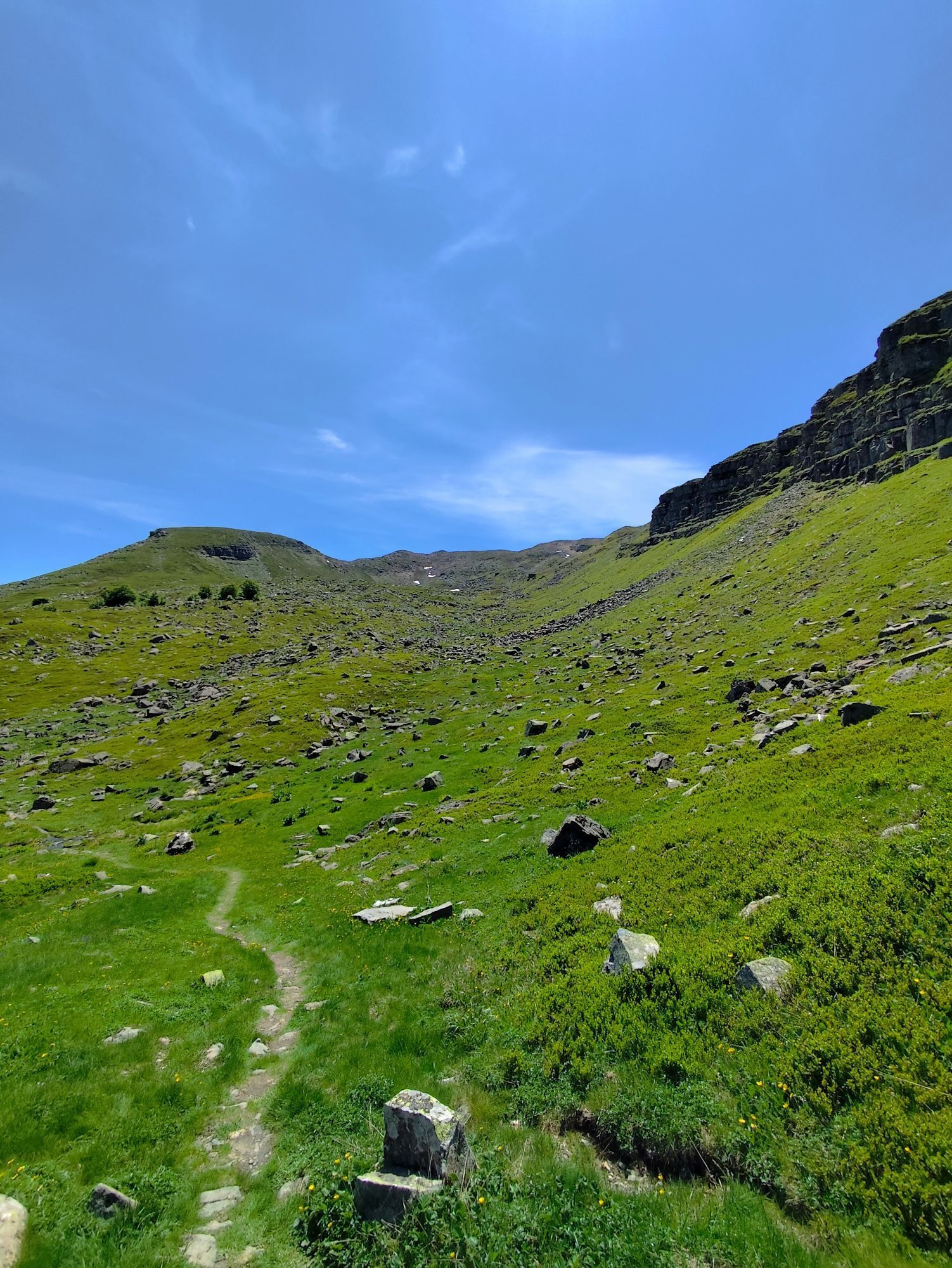
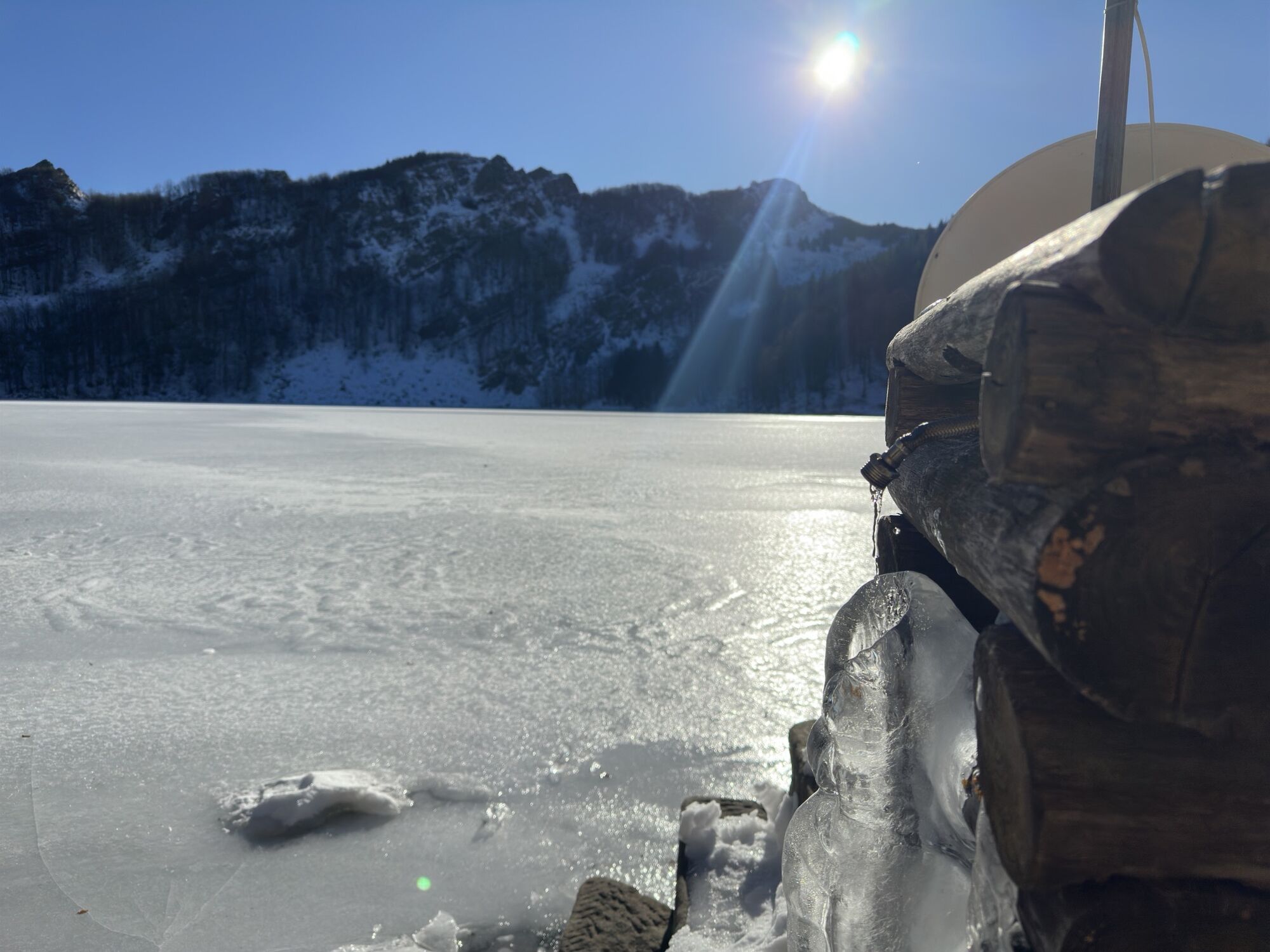
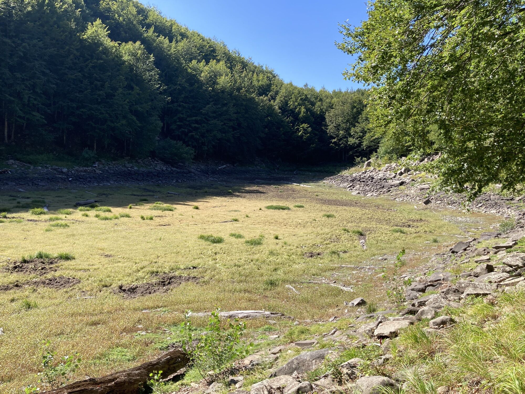
Photos de nos utilisateurs
 © Lina PalmeriniCréé le 29.04.2026
 © Nicola FloriniCréé le 06.04.2026
 © Nicola FloriniCréé le 01.11.2025
 © Nicola FloriniCréé le 01.11.2025
 © MassiNencioCréé le 12.10.2025
 © MassiNencioCréé le 12.10.2025
 © MassiNencioCréé le 12.10.2025
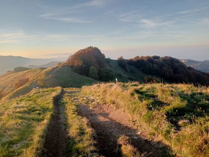
 © simone ravasiCréé le 11.10.2025
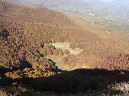
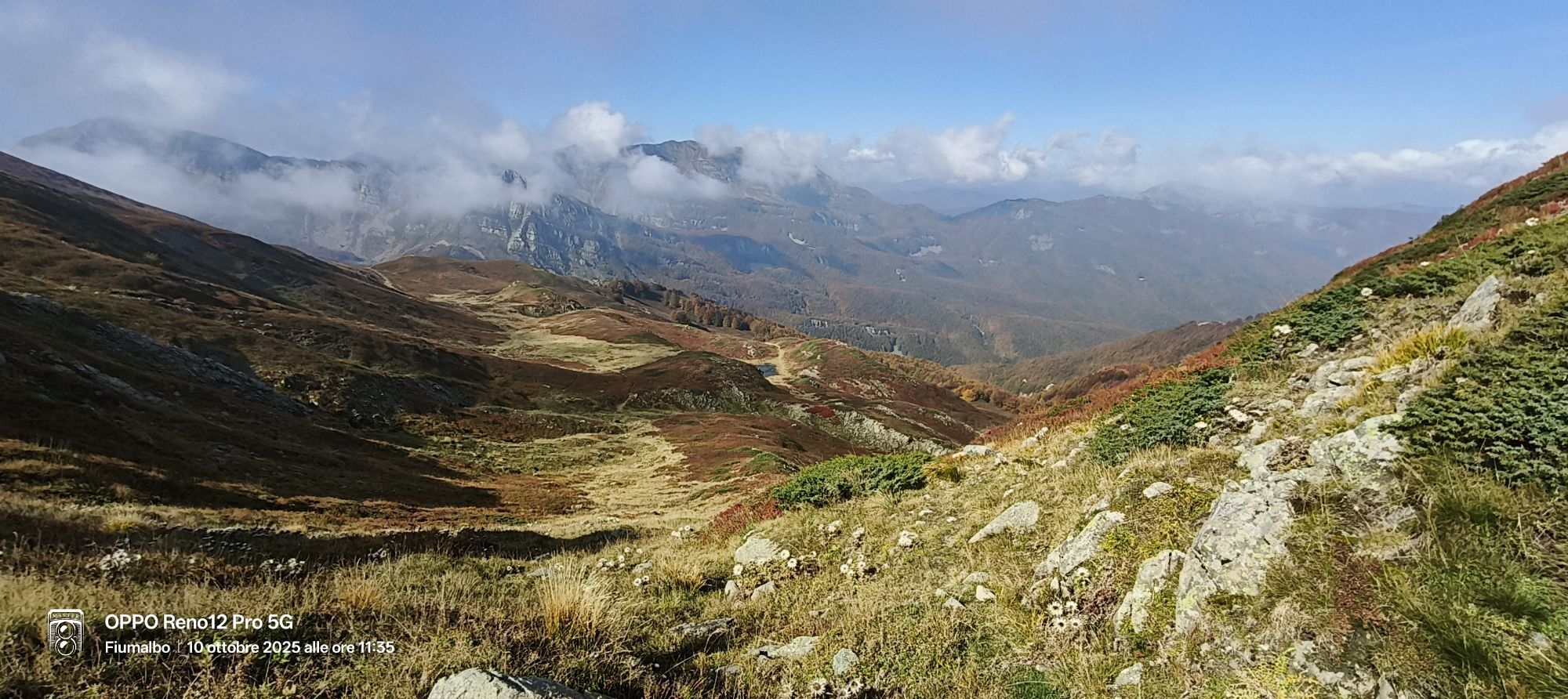
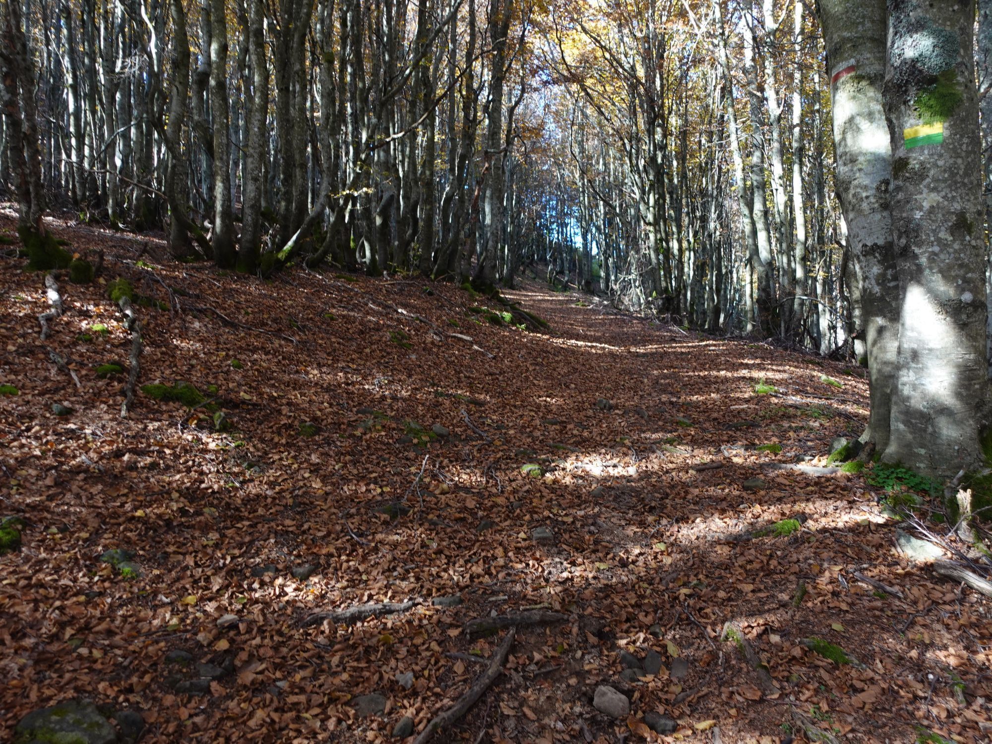
 © Lorenzo L.Créé le 10.10.2025
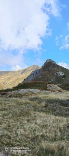
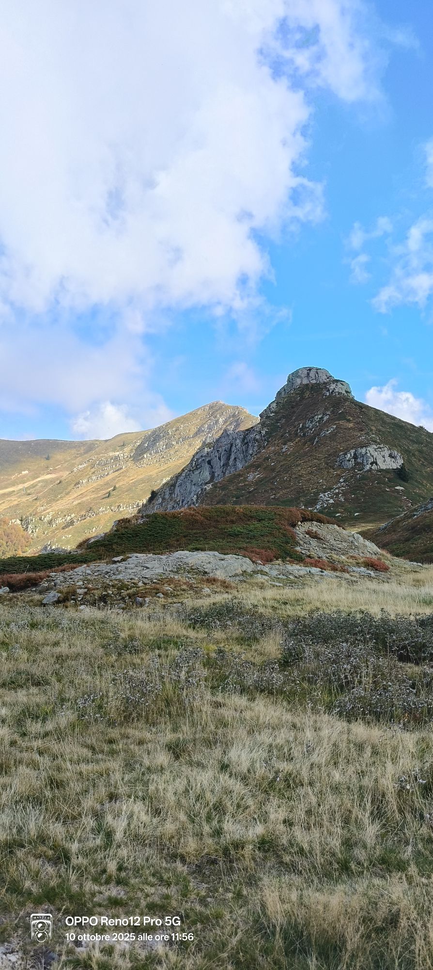
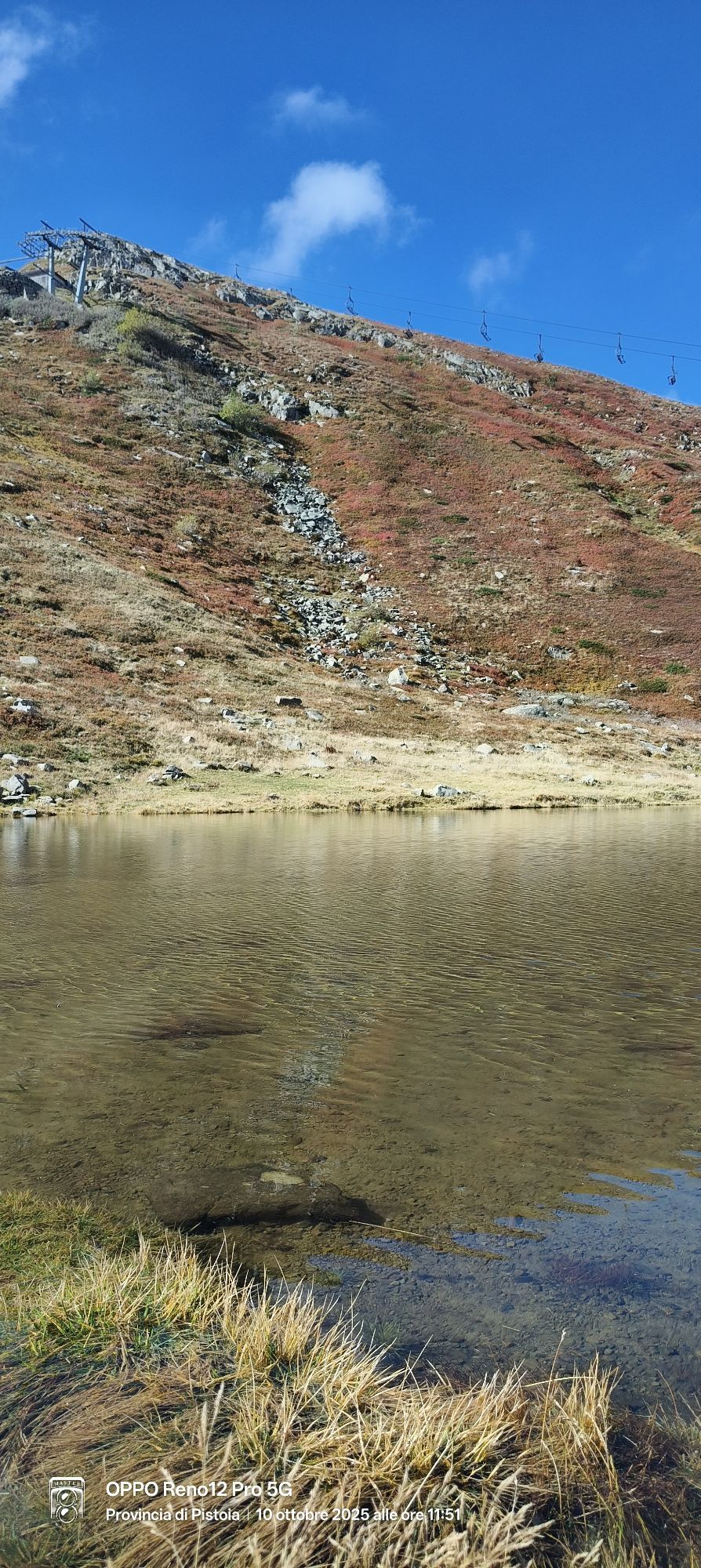
 © Sherpa 960Créé le 10.10.2025
 © Sherpa 960Créé le 10.10.2025
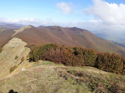 © Lorenzo L.Créé le 10.10.2025
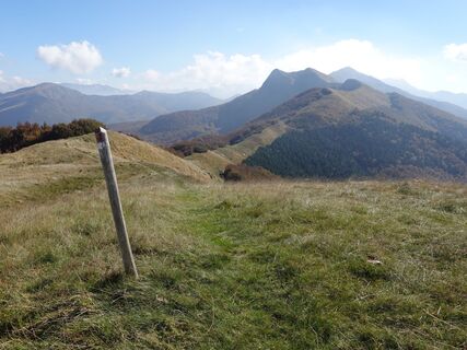 © Lorenzo L.Créé le 10.10.2025
 © Sherpa 960Créé le 10.10.2025
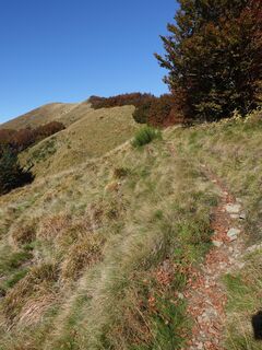 © Lorenzo L.Créé le 10.10.2025
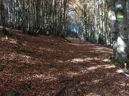 © Lorenzo L.Créé le 10.10.2025
 © Nicola FloriniCréé le 18.08.2025
 © Nicola FloriniCréé le 18.08.2025
 © Nicola FloriniCréé le 18.08.2025
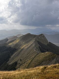 © Nicola FloriniCréé le 18.08.2025
 © Nicola FloriniCréé le 18.08.2025
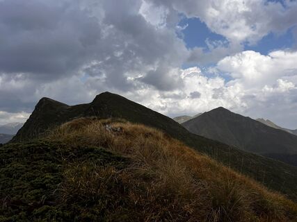 © Nicola FloriniCréé le 18.08.2025
 © Nicola FloriniCréé le 18.08.2025
 © Nicola FloriniCréé le 18.08.2025
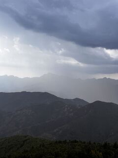 © Nicola FloriniCréé le 18.08.2025
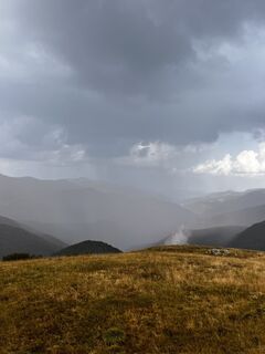 © Nicola FloriniCréé le 18.08.2025
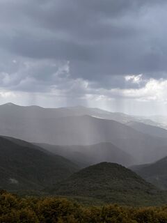 © Nicola FloriniCréé le 18.08.2025
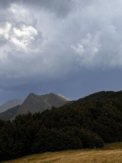 © Nicola FloriniCréé le 18.08.2025
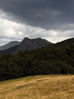 © Nicola FloriniCréé le 18.08.2025
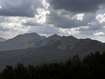 © Nicola FloriniCréé le 18.08.2025
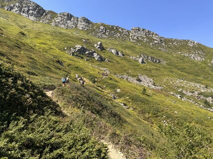
 © Claudio GhiddiCréé le 16.08.2025
 © dinialessandroCréé le 01.06.2025
 © Lisa BalboniCréé le 26.12.2024
 © “Jerry” BrunettiCréé le 30.10.2024
 © Marilena LocatelliCréé le 10.09.2023
 © Marilena LocatelliCréé le 10.09.2023
 © Marilena LocatelliCréé le 10.09.2023
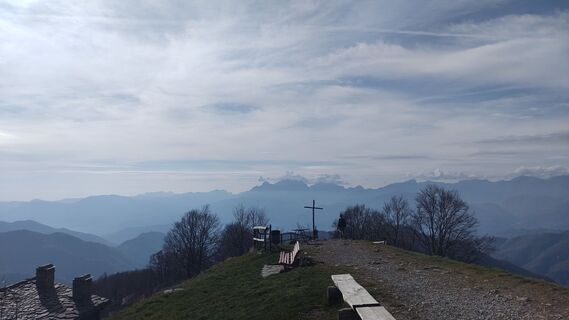 © Debora cavazzoliCréé le 09.11.2024
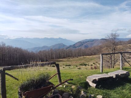 © Debora cavazzoliCréé le 09.11.2024
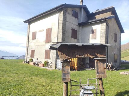 © Debora cavazzoliCréé le 09.11.2024
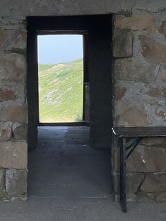 © Nicola FloriniCréé le 19.07.2023
 © Nicola FloriniCréé le 19.07.2023
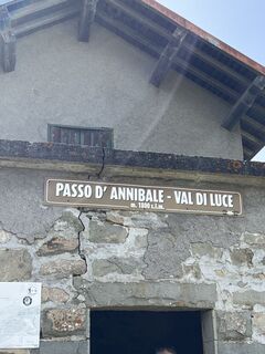 © Nicola FloriniCréé le 19.07.2023
 © Nicola FloriniCréé le 19.07.2023
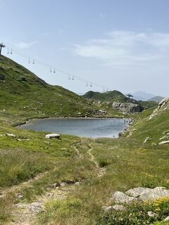 © Nicola FloriniCréé le 19.07.2023
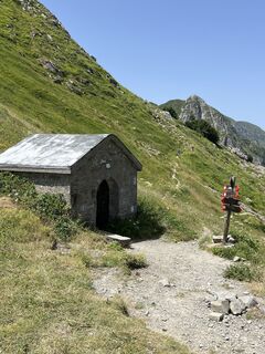 © Nicola FloriniCréé le 19.07.2023
 © Nicola FloriniCréé le 19.07.2023
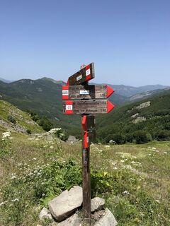 © Nicola FloriniCréé le 19.07.2023


Parcours
Monte Penato
(1.571 m)
Sommet
14,1 km
Monte Tecchione
(1.586 m)
Sommet
16,9 km
Fabei
(1.590 m)
Sommet
17,7 km
Monte Cucherna
(1.515 m)
Sommet
20,8 km
Monte Ferdana
(1.325 m)
Sommet
35,0 km
Monte Fontanini
(1.401 m)
Sommet
49,4 km
Monte Orsaro
(1.830 m)
Sommet
57,0 km
Monte Marmagna
(1.852 m)
Sommet
58,8 km
Monte Sillara
(1.861 m)
Sommet
69,7 km
Monte Losanna
(1.856 m)
Sommet
71,2 km
Monte La Nuda
(1.895 m)
Sommet
94,3 km
Cima Belfiore
(1.810 m)
Sommet
96,4 km
Le Porraie
(1.833 m)
Sommet
107,9 km
Le Forbici
(1.817 m)
Sommet
119,4 km
Cima la Nuda
(1.708 m)
Sommet
122,8 km
Cime di Romecchio
(1.786 m)
Sommet
138,9 km
Cima dell'Omo
(1.859 m)
Sommet
140,1 km
Parcours
Passo dei Codognini - Fabei - Monte Sillara - Boscolungo
moyen
Randonnée
156,71
km
Passo dei Codognini
(1.097 m)
Point de vue
1,6 km
Baracca del Torlino
(1.375 m)
Couloir/terrain
12,2 km
Costa delle Pianelle
(1.420 m)
Couloir/terrain
12,5 km
Sella di Busanca
(1.405 m)
Col de montagne
13,1 km
Monte Penato
(1.571 m)
Sommet
14,1 km
Monte Pitone
(1.551 m)
Sommet
16,1 km
Monte Tecchione
(1.586 m)
Sommet
16,9 km
Fabei
(1.590 m)
Sommet
17,7 km
Rifugio del Faggio Crociato
(1.369 m)
Refuge
18,6 km
Zum Zeri
(1.360 m)
Couloir/terrain
18,6 km
Monte Cucherna
(1.515 m)
Sommet
20,8 km
Monte Cadiglia
(1.421 m)
Sommet
21,7 km
Fontana Gilenta
(1.119 m)
Source
24,3 km
Passo del Borgallo
(1.014 m)
Couloir/terrain
25,8 km
Monte Borraccia
(1.250 m)
Sommet
33,3 km
Monte Borraccia
(1.277 m)
Sommet
34,2 km
Monte Ferdana
(1.325 m)
Sommet
35,0 km
Tre Fontane
(1.316 m)
Source
38,0 km
Santuario della Madonna della Guardia
(1.048 m)
Lieu de culte
42,6 km
Capanna TWIN
(1.037 m)
Refuge (non géré)
43,0 km
Monte Valoria
(1.229 m)
Sommet
44,8 km
il Cravio
(1.190 m)
Couloir/terrain
47,7 km
Borelli
(1.215 m)
Couloir/terrain
47,9 km
Monte Fontanini
(1.401 m)
Sommet
49,4 km
Monte Beccara
(1.378 m)
Sommet
49,8 km
Monte Corno
(1.305 m)
Sommet
53,1 km
Bocchetta del Tavola
(1.442 m)
Col de montagne
54,6 km
Ronchi di Luciano
(1.523 m)
Couloir/terrain
55,7 km
Monte Orsaro
(1.830 m)
Sommet
57,0 km
Cima Eliseo
(1.827 m)
Sommet
57,0 km
Monte Braiola
(1.819 m)
Sommet
57,8 km
Sella del Braiola
(1.702 m)
Selle de montagne
58,3 km
Monte Marmagna
(1.852 m)
Sommet
58,8 km
Rifugio Giovanni Mariotti
(1.514 m)
Refuge
60,7 km
Passo dell'Aquila
(1.700 m)
Selle de montagne
63,2 km
Monte Aquila
(1.779 m)
Sommet
63,5 km
Passo di Fugicchia
(1.667 m)
Selle de montagne
67,3 km
Monte Paitino
(1.817 m)
Sommet
68,9 km
Monte Sillara
(1.861 m)
Sommet
69,7 km
Nuda di Iera
(1.840 m)
Sommet
70,6 km
Monte Losanna
(1.856 m)
Sommet
71,2 km
Monte Bragalata
(1.836 m)
Sommet
71,8 km
Rio Spilla
(1.375 m)
Station de télécabines
74,8 km
Prato Spilla
(1.366 m)
Couloir/terrain
74,9 km
Rifugio Albergo Prato Spilla
(1.360 m)
Refuge
74,9 km
Tecchia dei Corvi
(1.519 m)
Couloir/terrain
81,6 km
Rifugio Città di Sarzana
(1.583 m)
Refuge
82,4 km
I Ghiaccioni
(1.377 m)
Couloir/terrain
83,9 km
Sorgenti del Secchia - Masso BB
(1.520 m)
Couloir/terrain
86,5 km
Sorgenti del Secchia
(1.502 m)
Couloir/terrain
86,7 km
Passo del Gatto
(1.255 m)
Selle de montagne
90,6 km
Crocetta
(1.289 m)
Lotissement
91,3 km
Bivacco Rosario
(1.613 m)
Refuge (non géré)
93,5 km
Monte La Nuda
(1.895 m)
Sommet
94,3 km
Cima Belfiore
(1.810 m)
Sommet
96,4 km
Passo Belfiore
(1.669 m)
Col de montagne
97,0 km
Monte Scalocchi
(1.729 m)
Sommet
97,9 km
Passo Pradarena
(1.576 m)
Point de vue
101,1 km
Passo Comunella
(1.621 m)
Couloir/terrain
102,9 km
Sorgente il Monte
(1.721 m)
Source
106,0 km
Monte Soraggio
(1.832 m)
Sommet
106,8 km
Le Porraie
(1.833 m)
Sommet
107,9 km
San Bartolomeo
(1.683 m)
Lieu de culte
109,7 km
Rifugio Bargetana
(1.737 m)
Refuge
111,9 km
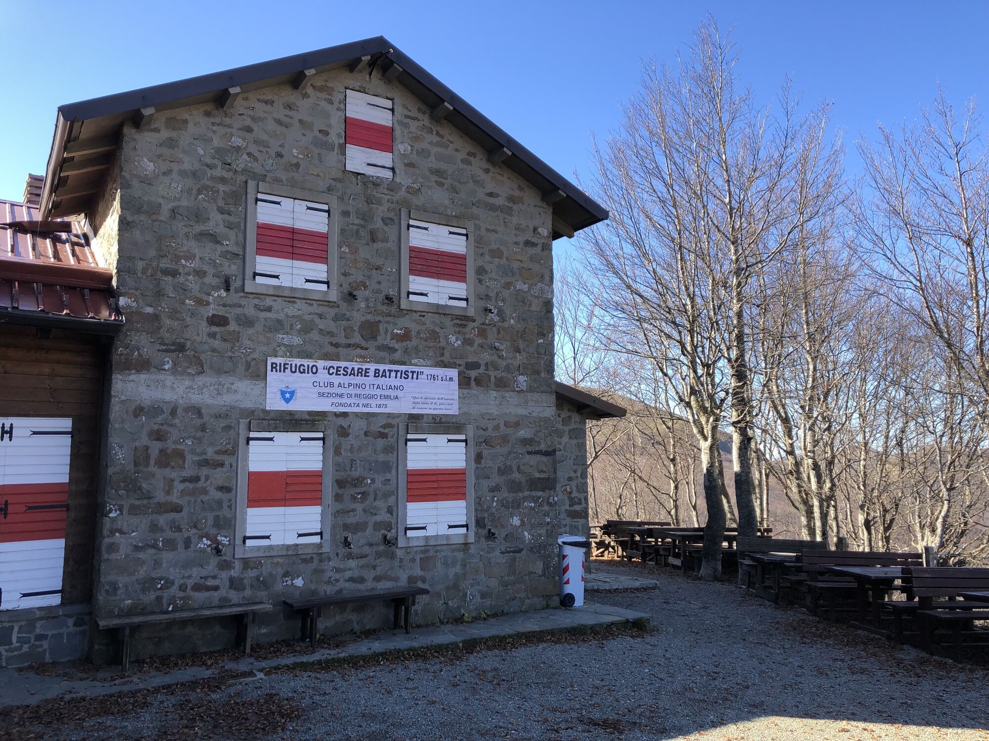
Rifugio Cesare Battisti
(1.764 m)
Refuge
114,0 km
Lama Lite
(1.790 m)
Couloir/terrain
114,6 km
Le Forbici
(1.817 m)
Sommet
119,4 km
Cima la Nuda
(1.708 m)
Sommet
122,8 km
Colle dei Laghi
(1.693 m)
Sommet
123,4 km
Alpicella delle Radici
(1.682 m)
Sommet
124,6 km
Passo delle Radici
(1.529 m)
Lotissement
126,2 km
San Pellegrino In Alpe
(1.522 m)
Village
129,8 km
Ristorante L'Appennino (da Pacetto)
(1.526 m)
Restaurant
129,8 km
Santuario dei Santi Pellegrino e Bianco
(1.522 m)
Lieu de culte
129,8 km
Cimetta
(1.664 m)
Sommet
131,8 km
Monte Spicchio
(1.658 m)
Sommet
133,6 km
Monte Saltello
(1.681 m)
Sommet
135,6 km
Monte Romecchio
(1.700 m)
Sommet
137,0 km
Colle delle Vacche
(1.634 m)
Couloir/terrain
137,8 km
Cime di Romecchio
(1.786 m)
Sommet
138,9 km
Passo del Terzino
(1.702 m)
Selle de montagne
139,3 km
Cima dell'Omo
(1.859 m)
Sommet
140,1 km
Colle Bruciata
(1.766 m)
Sommet
140,9 km
Sorgente delle Fontanacce
(1.676 m)
Source
141,6 km
Rifugio Giovo
(1.506 m)
Refuge
143,7 km
Rifugio Vittoria
(1.507 m)
Refuge
144,2 km
Fonte Ricca
(1.497 m)
Source
145,5 km
Passo D'Annibale
(1.798 m)
Point de vue
148,6 km
Passo d'Annibale
(1.797 m)
Station de télécabines
148,8 km
Passo della Vecchia
(1.782 m)
Selle de montagne
149,9 km
Lago Nero
(1.730 m)
Refuge
150,6 km
Belvedere
(1.356 m)
Couloir/terrain
154,8 km
Consuma
(1.340 m)
Lotissement
156,4 km
Boscolungo
(1.375 m)
Lotissement
156,7 km
Pas encore d'évaluation
Parcours populaires à proximité
Wunderschöne Tour über drei Gipfel bei Parma (inkl. Erfrischung im Bergsee)
moyenRandonnée 10,8 km- 5,0
Lagdei - Lagdei über Montemarmagna, 3 Gipfel, 1 See
moyenRandonnée 7,26 km Pradarena-LMastrone-Costa Romana-Posola-Dalli Sopra
facileRandonnée 24,4 kmLago santo con neve
moyenRandonnée 5,92 kmOspitaletto, Colle Brancia, Monte Polla, Monte Cavalbianco, Passo Pradarena, Passo Comunella, Monte Sillano, Sella Lama di Mezzo, Rifugio Rio Re, Ospitaletto, Ventasso, Emilia-Romagna/Italia
moyenRandonnée 17,9 kmPratispilla Monte Monte Bocco
facileSki de randonnée 12,3 kmTerrarossa/Filetto
moyenVTT 30,2 kmMonchio delle Corti - Passo Sasseda - Monte Malpasso - Rifugio Albergo Prato Spilla
difficileRandonnée 9,58 kmPontremoli - Chiesa di Santa Cristina - Convento Padri Cappuccini - Fivizzano
difficileVTT 67,3 kmSchia - Monte Lasarino - Sparvara - Rifugio Albergo Prato Spilla
difficileVélo de course 82,4 km

Randonnée et suivi

Plus de 550.000 propositions de circuits, des cartes détaillées et un planificateur d'itinéraire intuitif font de cette application un must pour tous les passionnés de nature.

Ne manquez pas les offres et l'inspiration pour vos prochaines vacances
S'inscrire à la newsletter
Erreur
Une erreur s'est produite. Veuillez réessayer.Merci pour votre inscription
Votre adresse électronique a été ajouté à la liste de diffusion.
Parcours en Europe
Autriche Suisse Allemagne Italie Slovénie France Pays-Bas Belgique Pologne Liechtenstein République tchèque Slovaquie Espagne Croatie Bosnie-Herzégovine Luxembourg Andorre Portugal Islande Royaume-Uni Irlande Grèce Albanie Macédoine du Nord Malte Norvège Monténégro Moldavie Kosovo Hongrie Saint-Marin Roumanie Estonie Lettonie Bélarus Chypre Lituanie Serbie Bulgarie Monaco Danemark Suède Finlande