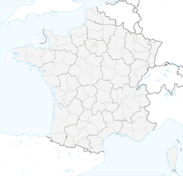
Blain - Église Saint-Symphorien - Église Sainte-Catherine - Le camping et gîte du canal
difficile
Télécharge cette visite sur ton portable
Blain - Église Saint-Symphorien - Église Sainte-Catherine - Le camping et gîte du canal
difficile
VTT
75,06
km
Scanner le code QR et commencer la navigation dans l'application bergfex

Randonnée & tracking


Blain - Église Saint-Symphorien - Église Sainte-Catherine - Le camping et gîte du canal
difficile
Distance
75,06
km
Durée
05:37
h
Ascension
389
m
Altitude
5 -
72
m
Téléchargement de la piste
Blain - Église Saint-Symphorien - Église Sainte-Catherine - Le camping et gîte du canal
difficile
VTT
75,06
km
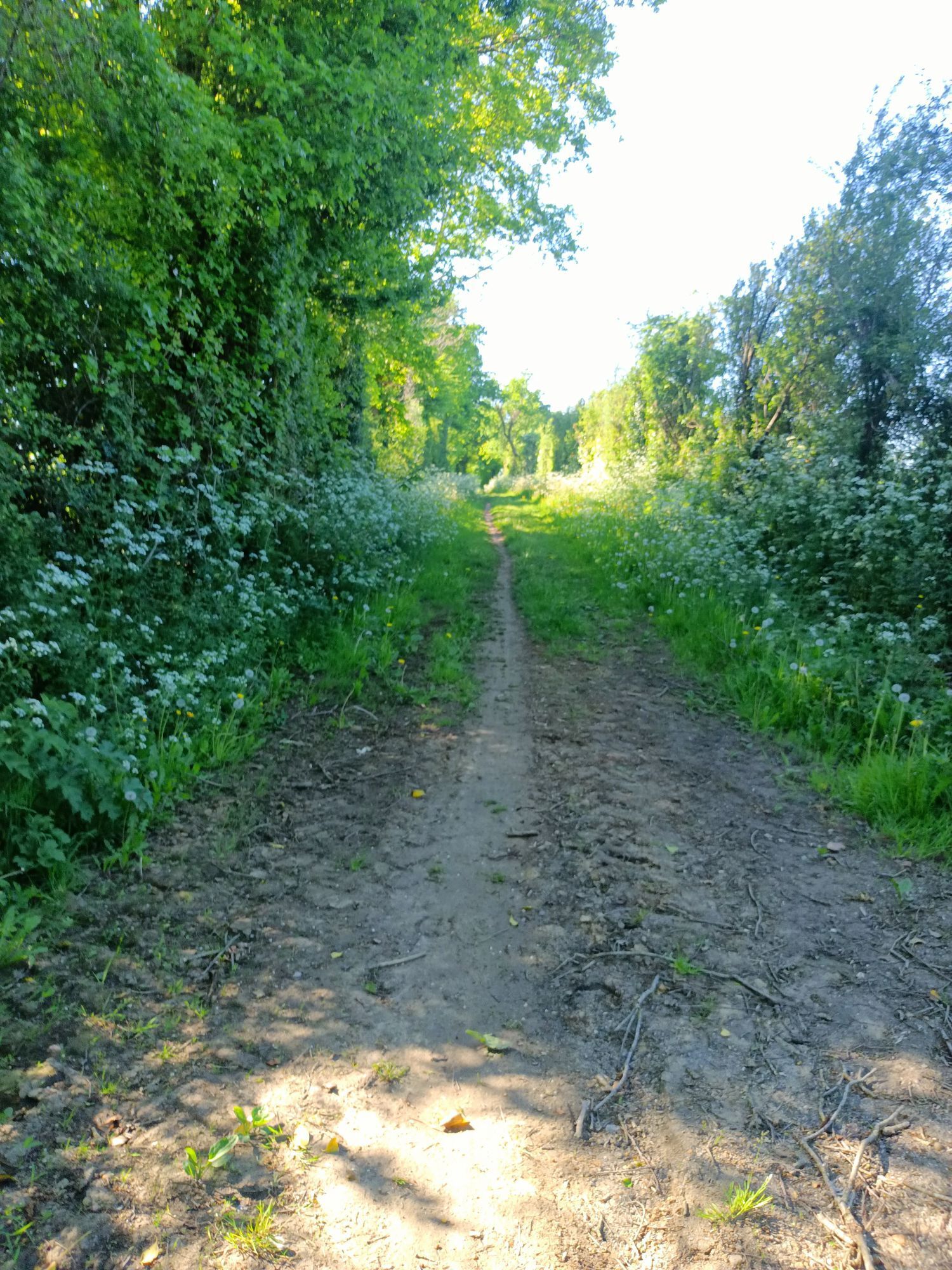
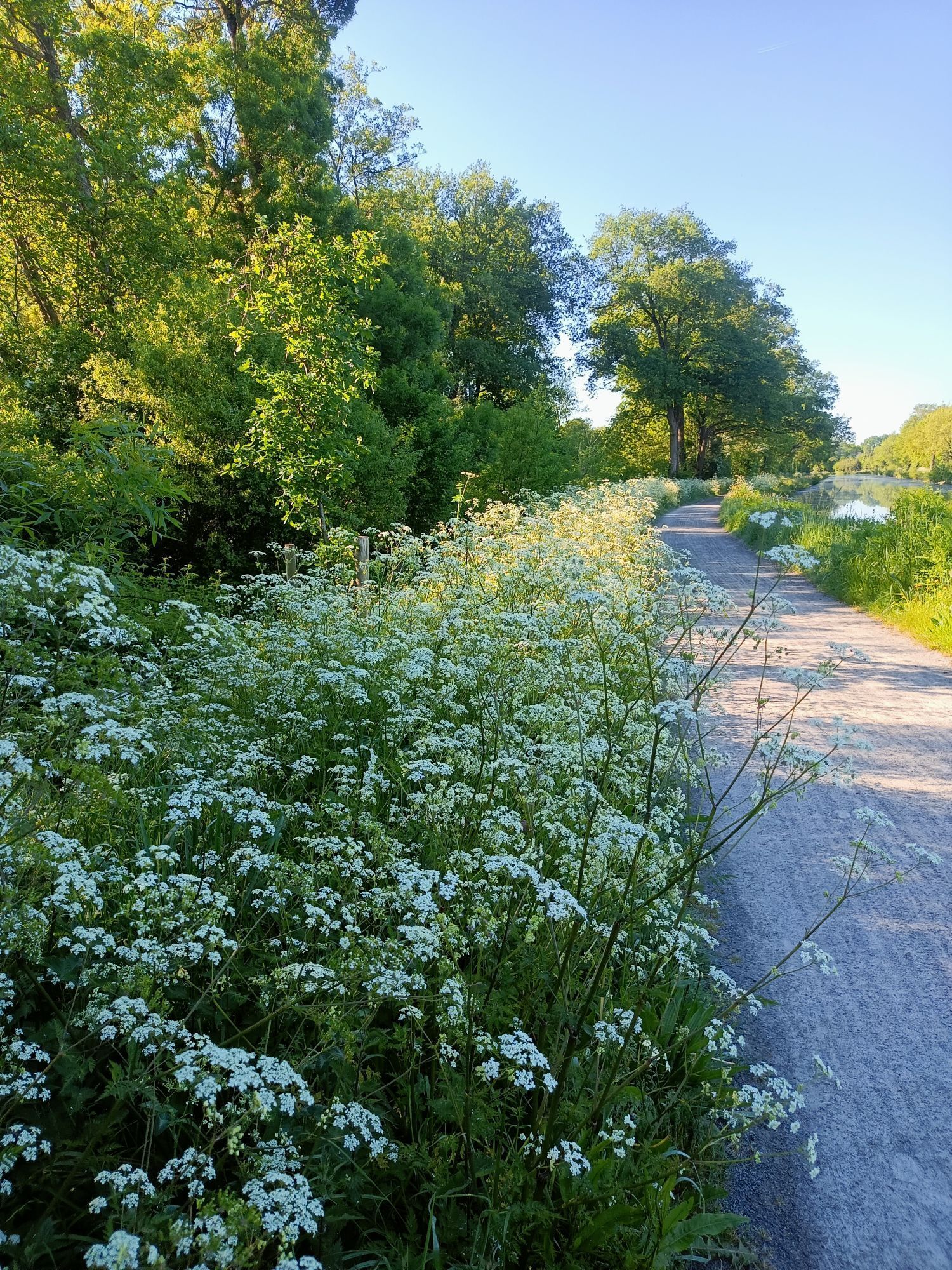
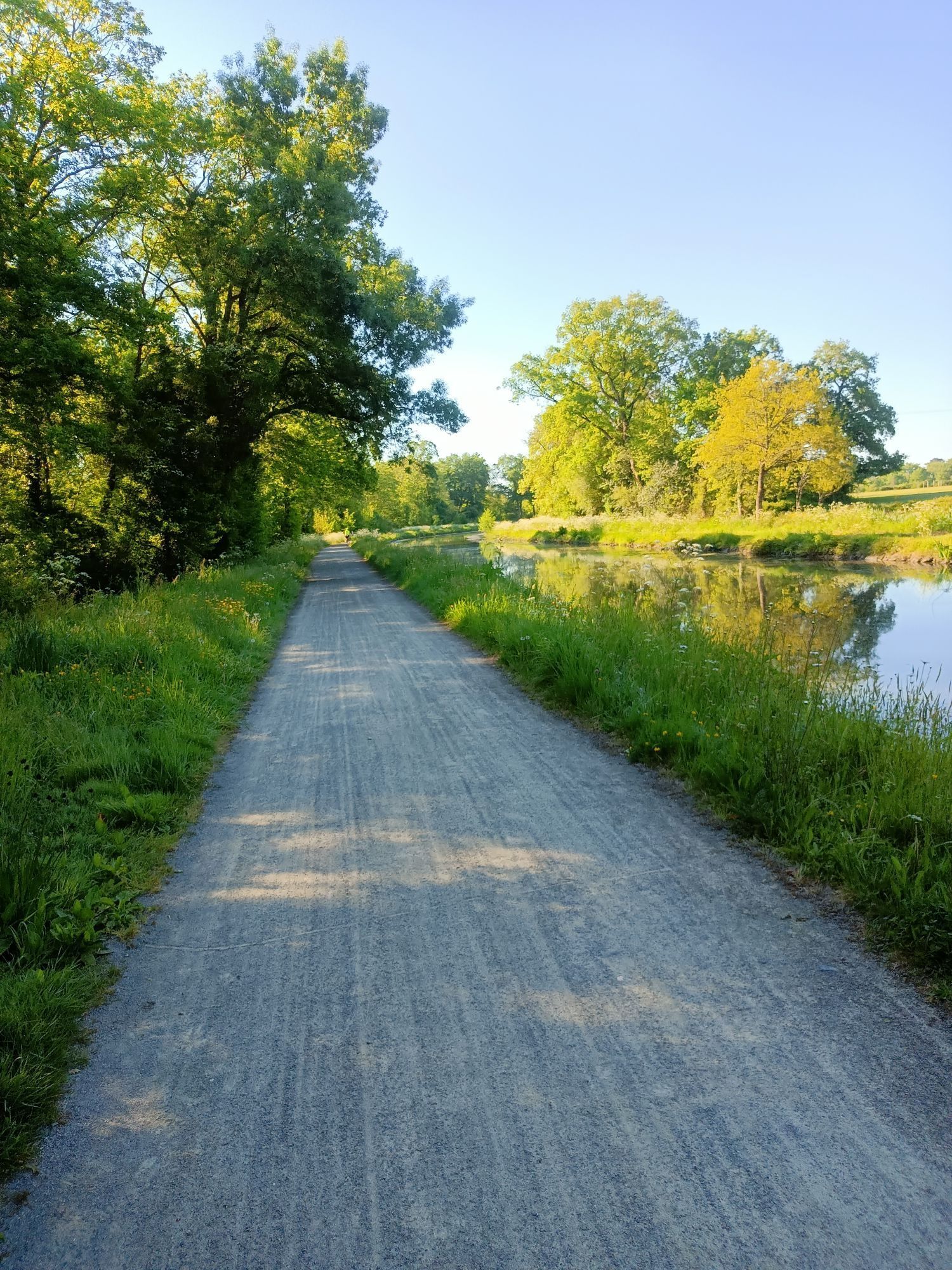
Parcours
Blain
(24 m)
Ville
0,0 km
Église Sainte-Catherine
(30 m)
Lieu de culte
32,2 km
Bel-Air
(28 m)
Lotissement
33,1 km
Le Clos de la Sapinière
(23 m)
Quartier de la ville
38,1 km
La Morinière
(8 m)
Lotissement
48,3 km
La Rabinière
(14 m)
Lotissement
53,6 km
Blain
(24 m)
Ville
74,6 km
Parcours
Blain - Église Saint-Symphorien - Église Sainte-Catherine - Le camping et gîte du canal
difficile
VTT
75,06
km
Le camping et gîte du canal
(14 m)
Restaurant
0,0 km
Blain
(24 m)
Ville
0,0 km
Le Gravier
(17 m)
Lotissement
0,2 km
La Porte du Gué Guéraud
(42 m)
Lotissement
6,9 km
La Troche
(42 m)
Lotissement
10,1 km
La Croix Rouge
(49 m)
Lotissement
10,8 km
La Gare
(53 m)
Lotissement
10,9 km
La Goussais
(45 m)
Lotissement
11,4 km
La Lande des Fosses
(57 m)
Lotissement
20,3 km
La Gréhandière
(43 m)
Lotissement
20,6 km
Église Saint-Symphorien
(57 m)
Lieu de culte
22,1 km
Treillières
(56 m)
Village
22,3 km
La Poste de Gesvres
(49 m)
Lotissement
23,5 km
La Rinçais
(53 m)
Lotissement
24,6 km
L'Évardière
(17 m)
Lotissement
29,5 km
La Chapelle-sur-Erdre
(27 m)
Ville
32,1 km
Église Sainte-Catherine
(30 m)
Lieu de culte
32,2 km
Bel-Air
(28 m)
Lotissement
33,1 km
Le Petit Nay
(25 m)
Lotissement
34,6 km
La Marvillière
(27 m)
Lotissement
35,8 km
Hameau de la Ganerie
(11 m)
Lotissement
36,4 km
La Maison Neuve
(23 m)
Lotissement
36,6 km
La Perruche
(28 m)
Lotissement
36,6 km
La Masure
(11 m)
Quartier de la ville
37,4 km
Sucé-sur-Erdre
(14 m)
Village
37,9 km
Le Clos de la Sapinière
(23 m)
Quartier de la ville
38,1 km
La Chaussée
(21 m)
Quartier de la ville
38,4 km
Jaille
(17 m)
Lotissement
38,7 km
Les Vaux
(11 m)
Lotissement
40,3 km
Le Houssais
(12 m)
Lotissement
40,8 km
Le Lavoir
(7 m)
Lotissement
43,3 km
La Grande Bodinière
(7 m)
Lotissement
44,5 km
Le Pas Chevalier
(10 m)
Lotissement
48,0 km
La Morinière
(8 m)
Lotissement
48,3 km
La Redalière
(9 m)
Lotissement
49,0 km
Vive-Ève
(10 m)
Lotissement
49,1 km
Sobidain
(12 m)
Lotissement
50,1 km
Écluse de la Tindière
(10 m)
Couloir/terrain
50,4 km
Le Pont du Plessis
(12 m)
Lotissement
51,7 km
Le Pont du Rocher
(14 m)
Lotissement
53,0 km
La Chalandière
(14 m)
Lotissement
53,5 km
La Rabinière
(14 m)
Lotissement
53,6 km
Écluse du Pas d'Héric
(20 m)
Couloir/terrain
56,3 km
Le Pas d'Héric
(23 m)
Lotissement
57,1 km
Les Coudrais
(23 m)
Lotissement
57,1 km
Le Camp
(22 m)
Lotissement
60,4 km
Bout-de-Bois
(22 m)
Lotissement
62,4 km
L'Écobut
(30 m)
Lotissement
63,1 km
Le Moulin de Bois Rivaud
(30 m)
Lotissement
63,4 km
La Minoterie
(23 m)
Lotissement
64,2 km
Le Terrier
(26 m)
Lotissement
70,1 km
Les Bas Mortiers
(16 m)
Lotissement
71,0 km
Cohignac
(20 m)
Lotissement
71,3 km
Le Surcouf
(15 m)
Restaurant
74,6 km
Blain
(24 m)
Ville
74,6 km
Le Gravier
(17 m)
Lotissement
75,0 km
Le camping et gîte du canal
(14 m)
Restaurant
75,0 km
Pas encore d'évaluation
Parcours populaires à proximité
La Vélodyssée par le canal de Nantes à Brest entre Nantes et Redon
facilePiste cyclable longue distance 102,4 km- 3,0
La Chapelle-sur-Erdre - La belle équipe - Nantes
moyenRandonnée 19,8 km Grandchamp-des-Fontaines - Église Saint-Pierre - Église de l'Assomption - Le GrandChampenois
moyenVélo de course 48,9 kmNort-sur-Erdre - La Noé Guy - La Tomblehoux - La Gâtine
moyenVTT 37,9 kmGrandchamp-des-Fontaines - Le Brossais - Le Davier - Le Bois Guillard
moyenVTT 53,8 kmLongrais - La Pille - Église Saint-Étienne - Église Saint-Pierre
moyenFaire du vélo 38,0 kmLa Chapelle-sur-Erdre - L'Évardière - Les Quatre Vents
difficileRandonnée 23,9 kmNotre-Dame-des-Landes - Église Sainte-Trinité - Couëron - Église Saint-Martin
moyenVélo de course 80,0 kmPetit-Mars - La main à la pate - Carquefou - Église Saint-Pierre
moyenFaire du vélo 47,7 kmLa Table Des... - Église Notre-Dame-de-Bonne-Nouvelle - Église Saint-Pierre et Saint-Paul - Les Grands Bouhours
moyenVélo de course 44,1 km
Randonnée et suivi

Plus de 550.000 propositions de circuits, des cartes détaillées et un planificateur d'itinéraire intuitif font de cette application un must pour tous les passionnés de nature.

Ne manquez pas les offres et l'inspiration pour vos prochaines vacances
S'inscrire à la newsletter
Erreur
Une erreur s'est produite. Veuillez réessayer.Merci pour votre inscription
Votre adresse électronique a été ajouté à la liste de diffusion.
Parcours en Europe
Autriche Suisse Allemagne Italie Slovénie France Pays-Bas Belgique Pologne Liechtenstein République tchèque Slovaquie Espagne Croatie Bosnie-Herzégovine Luxembourg Andorre Portugal Islande Royaume-Uni Irlande Grèce Albanie Macédoine du Nord Malte Norvège Monténégro Moldavie Kosovo Hongrie Saint-Marin Roumanie Estonie Lettonie Bélarus Chypre Lituanie Serbie Bulgarie Monaco Danemark Suède Finlande