







Pyramidenkogelweg Schiefling

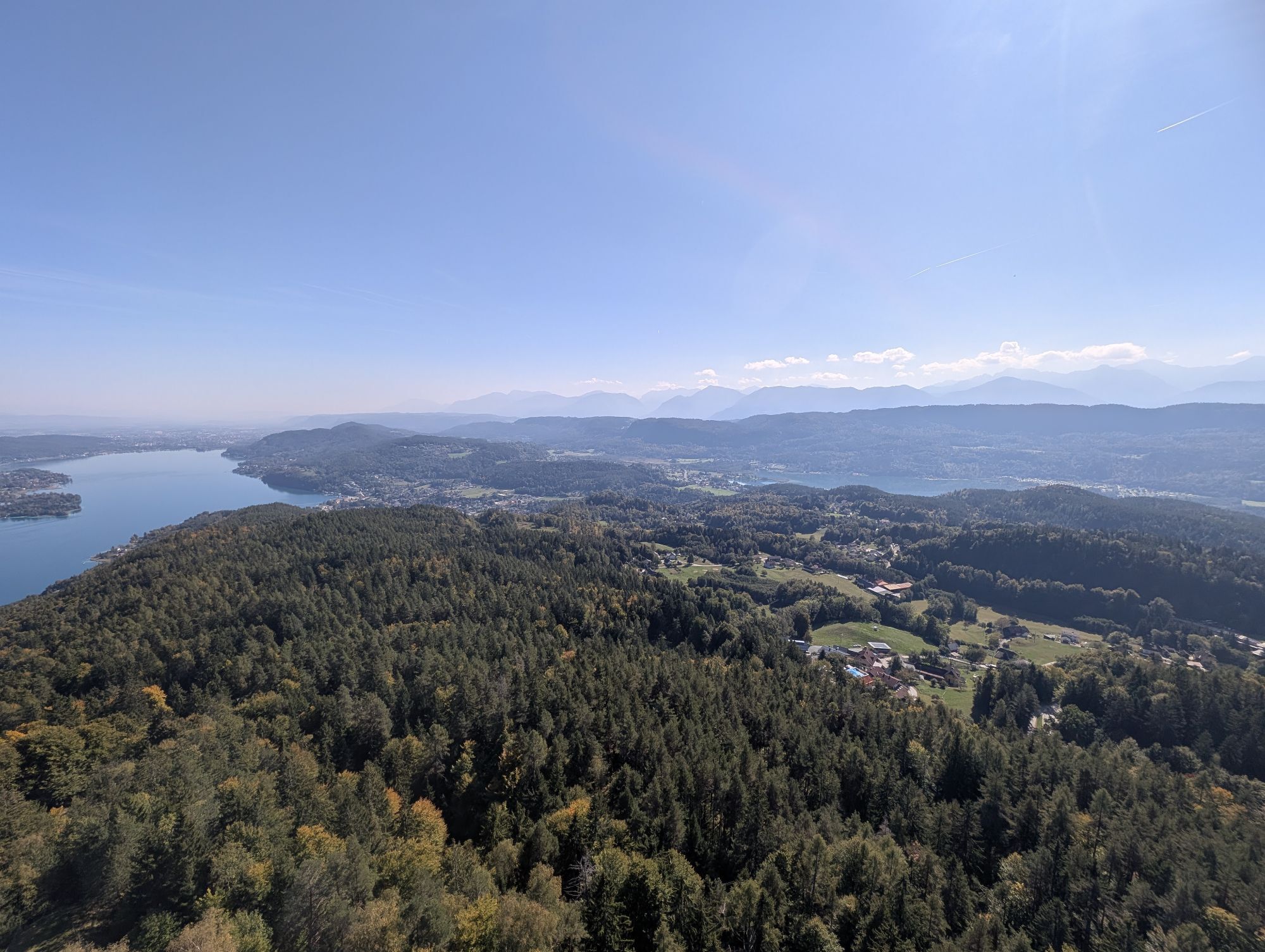
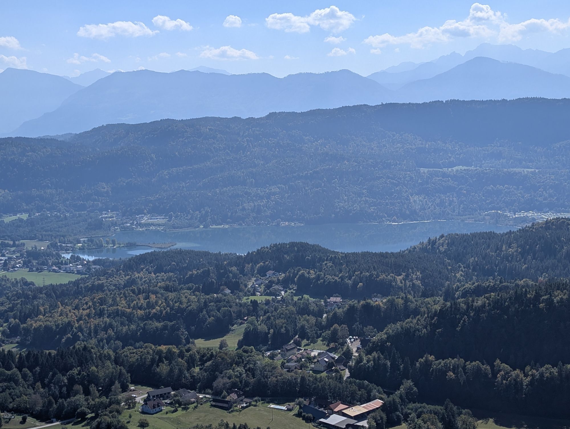
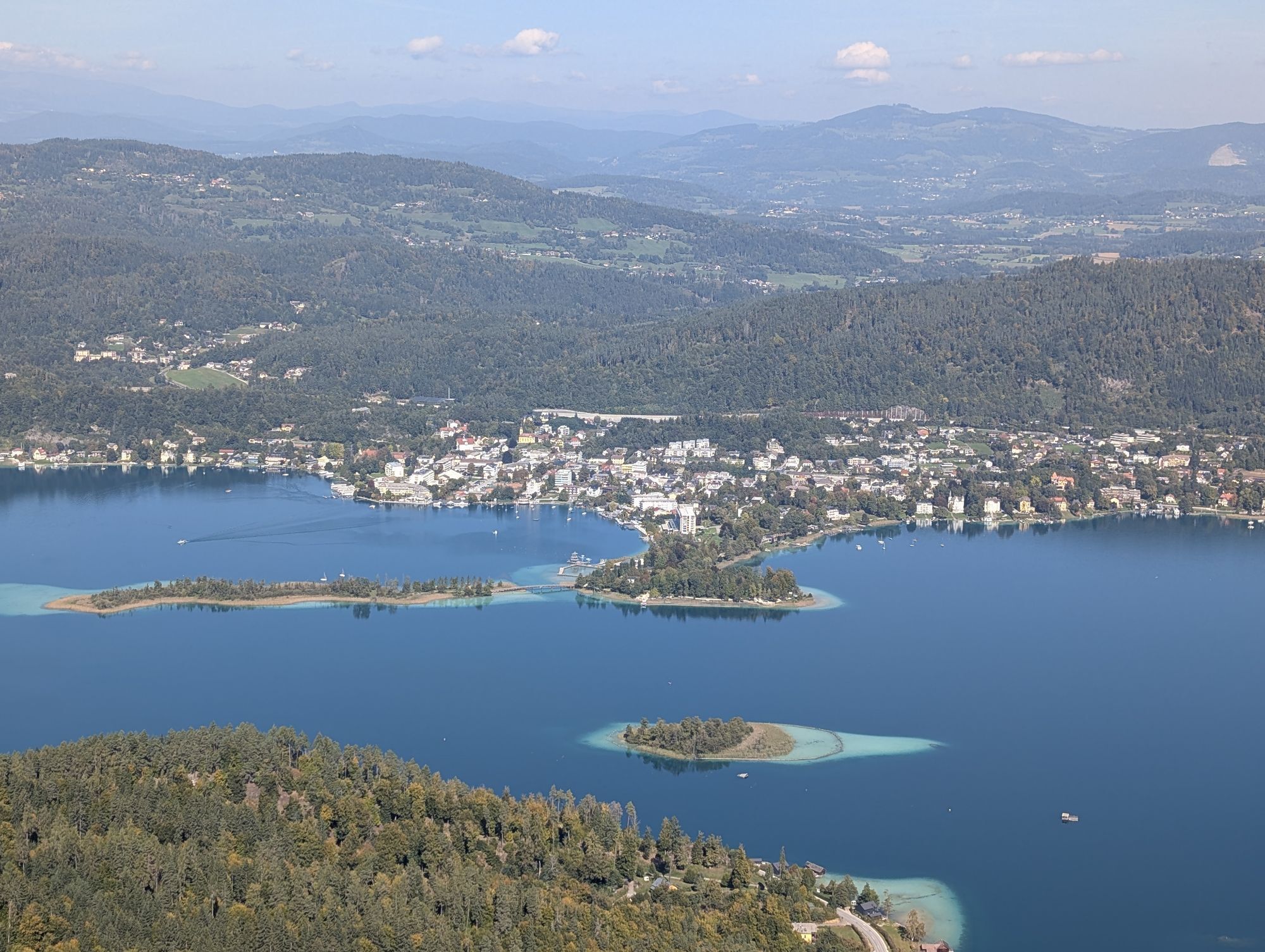
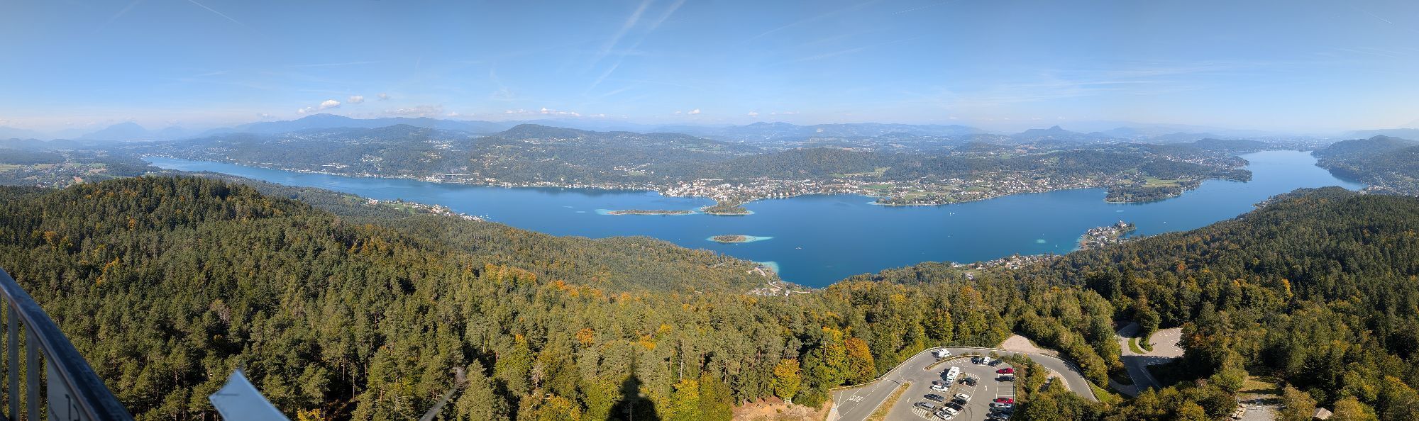
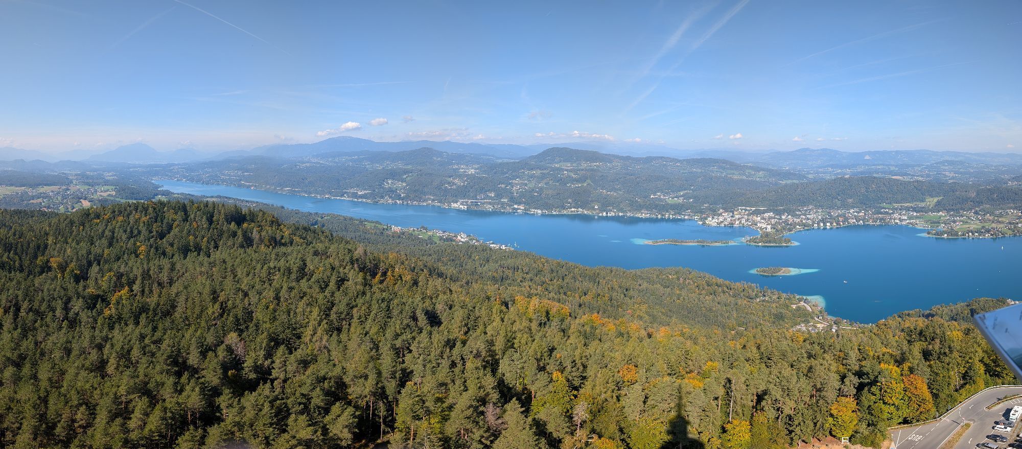
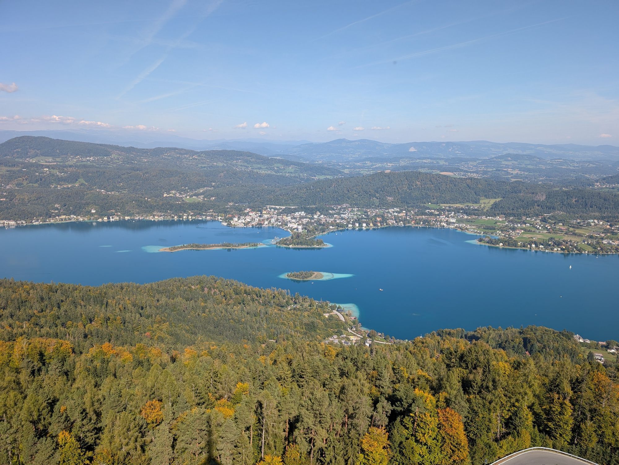
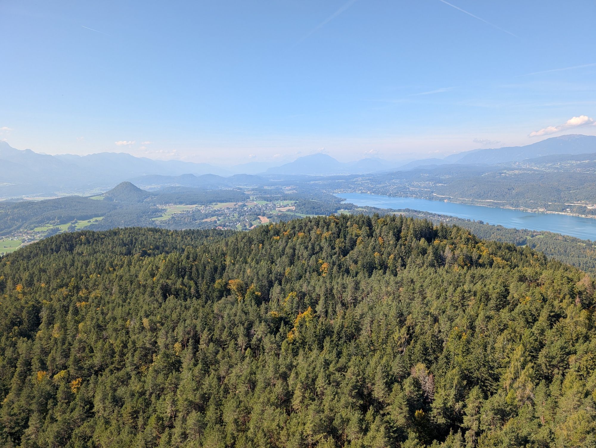
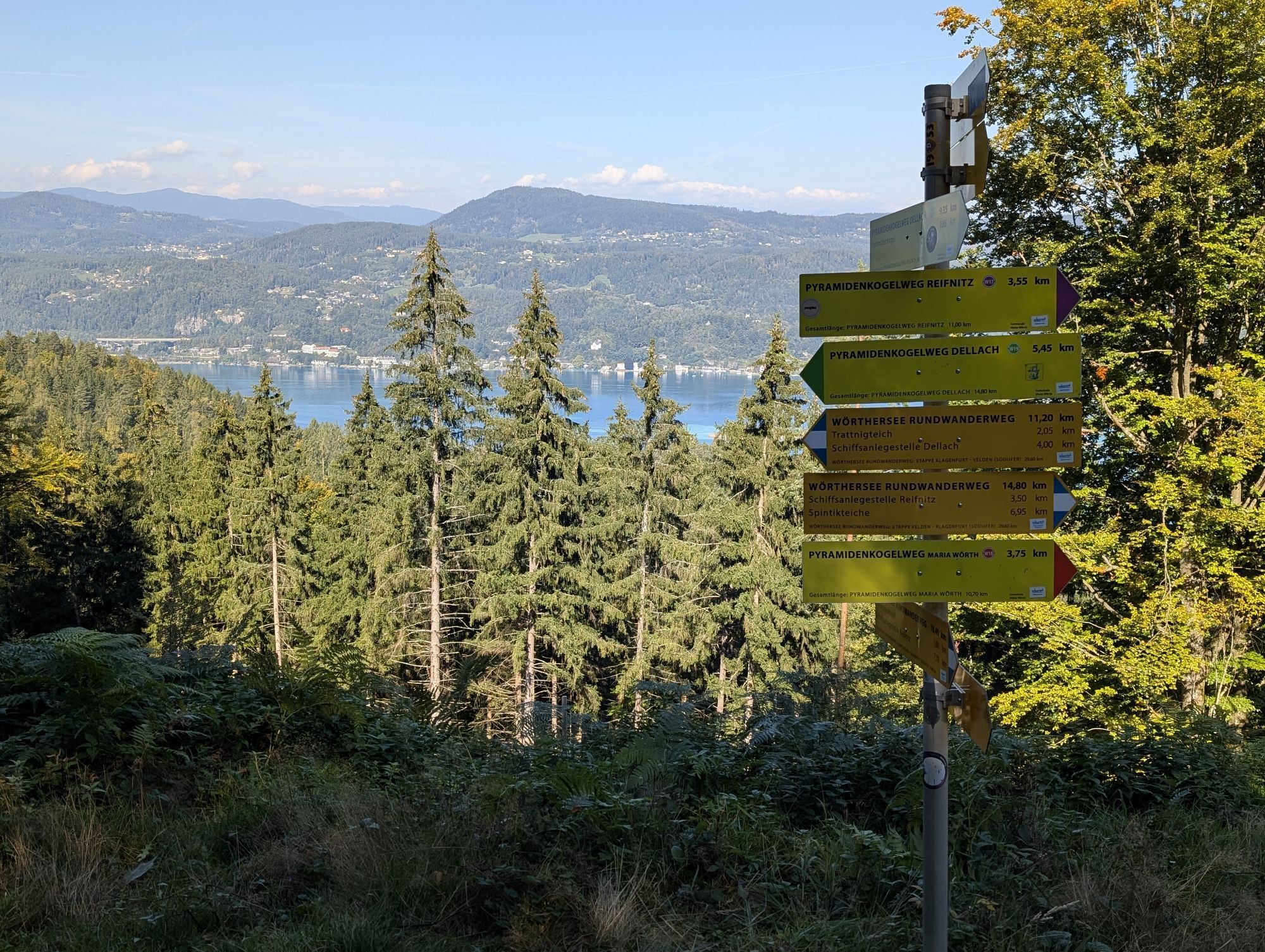
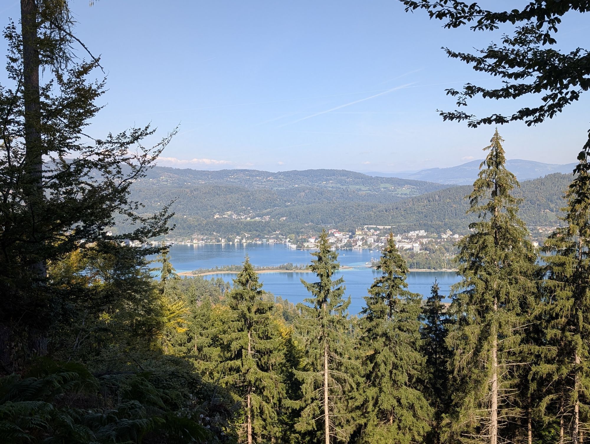
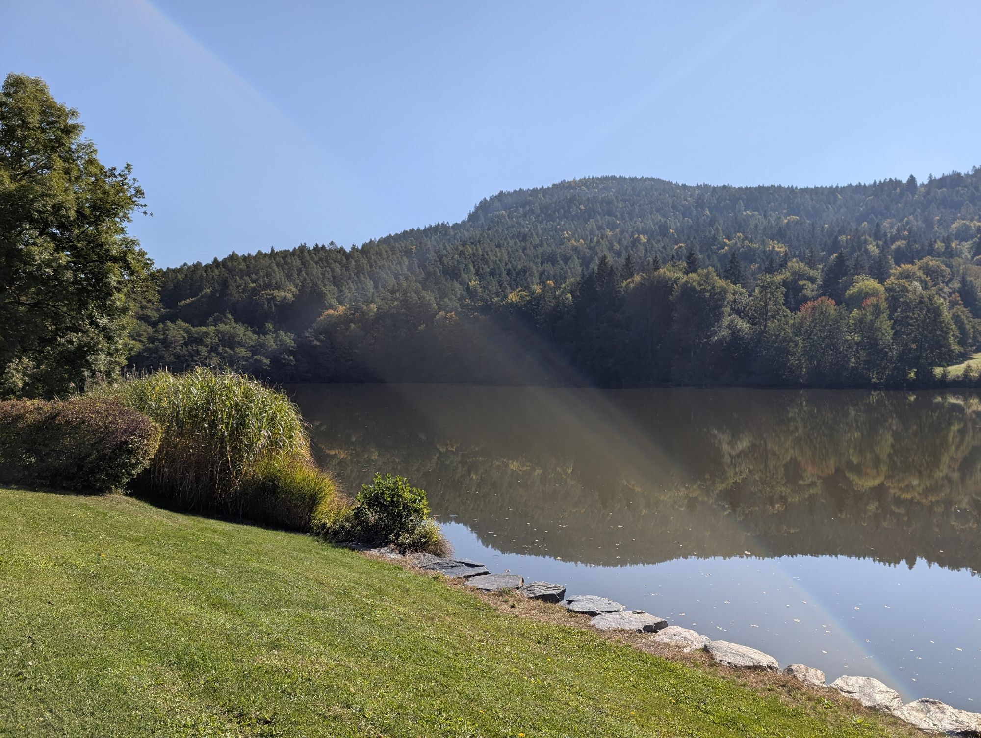
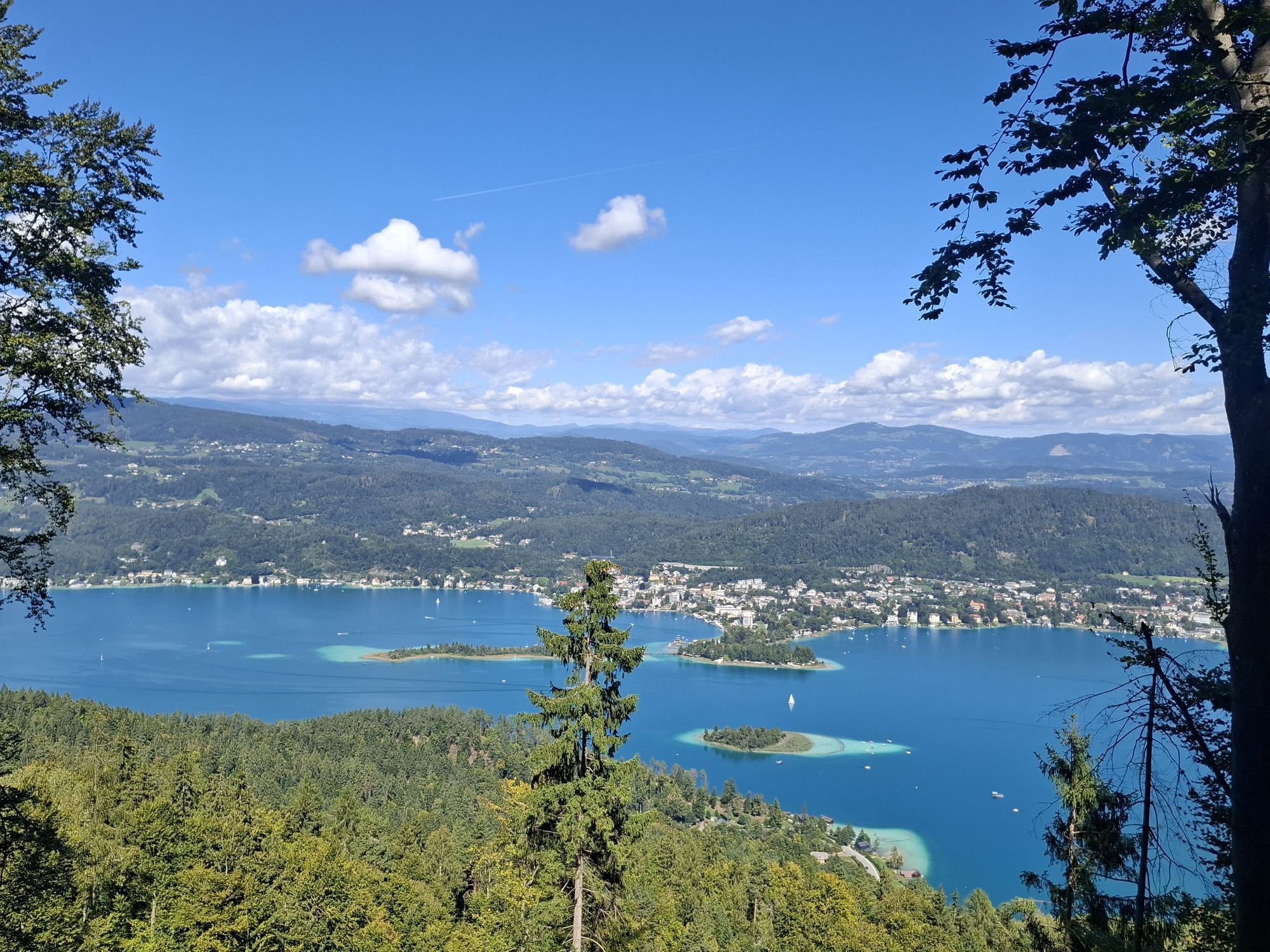
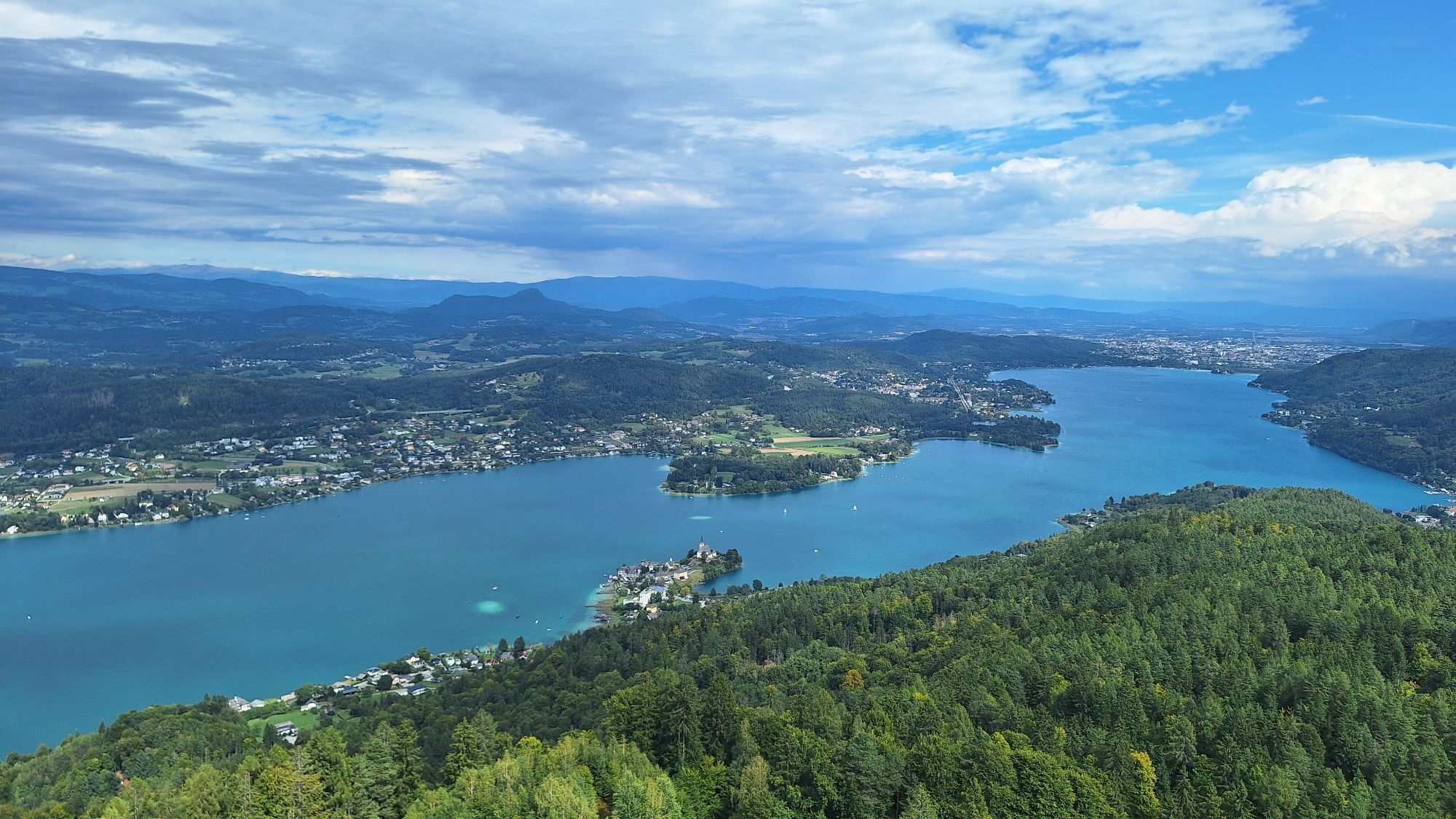
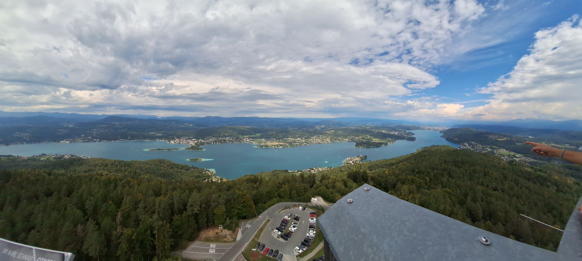
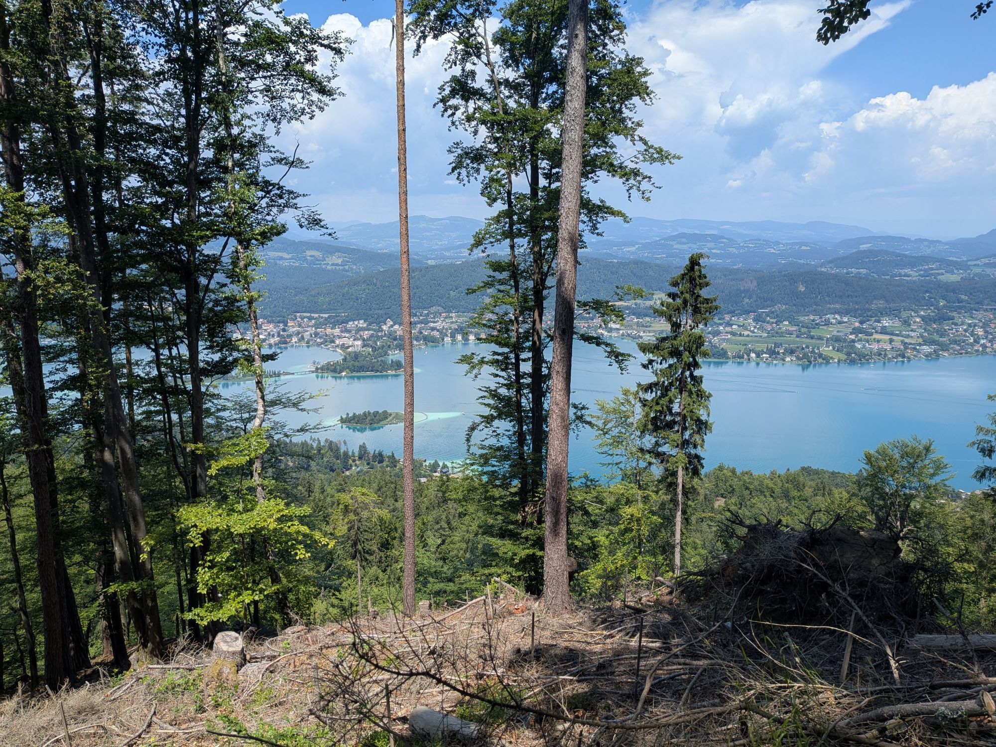
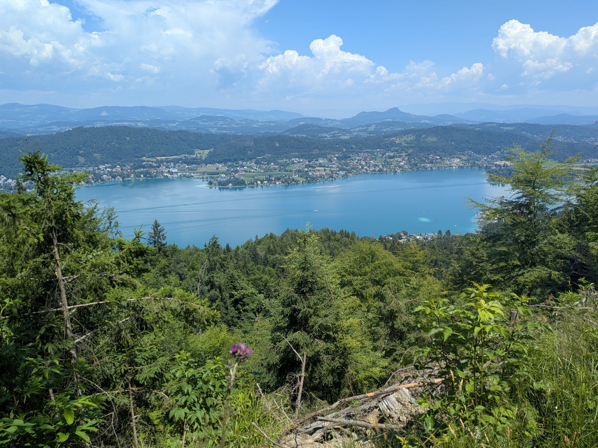
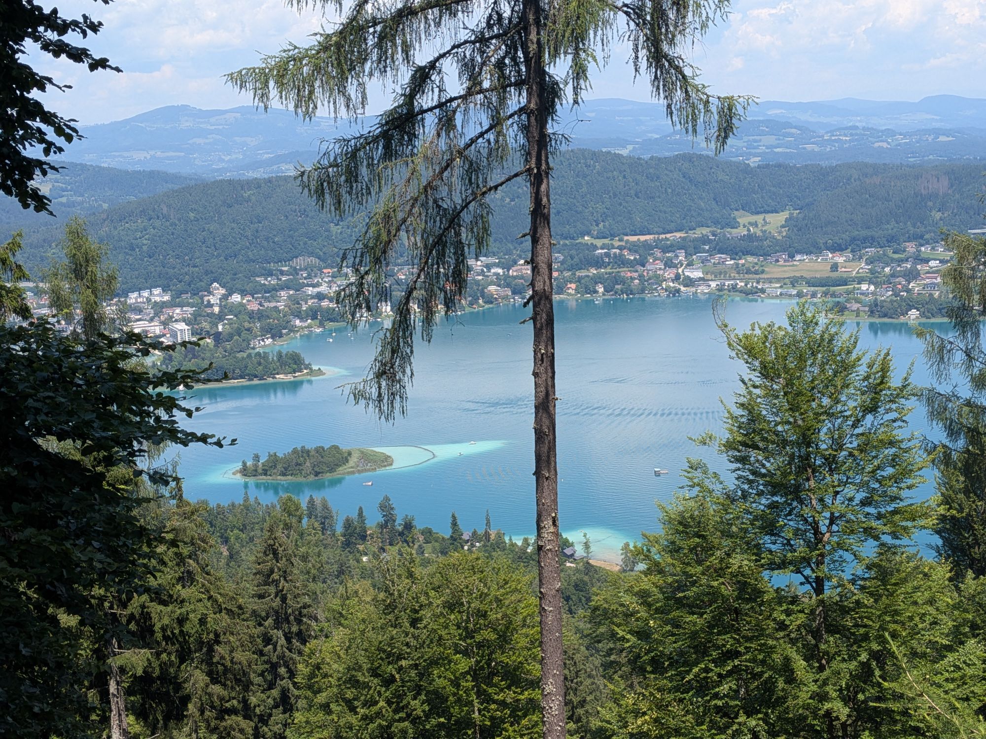
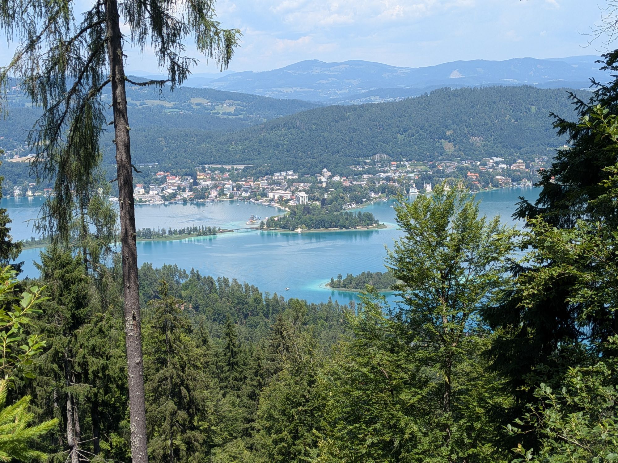
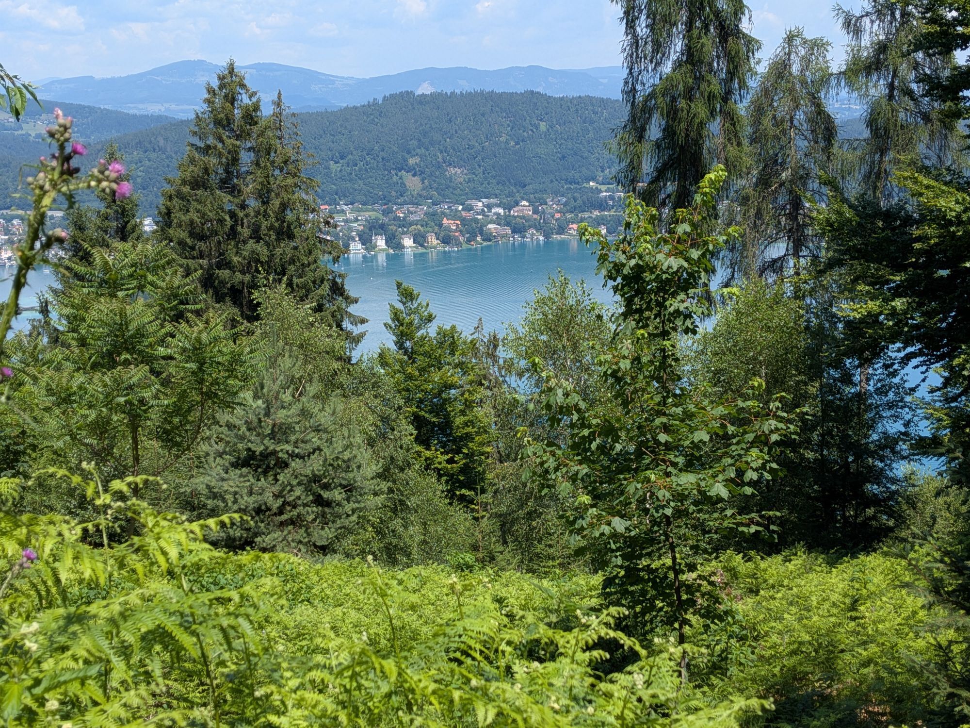
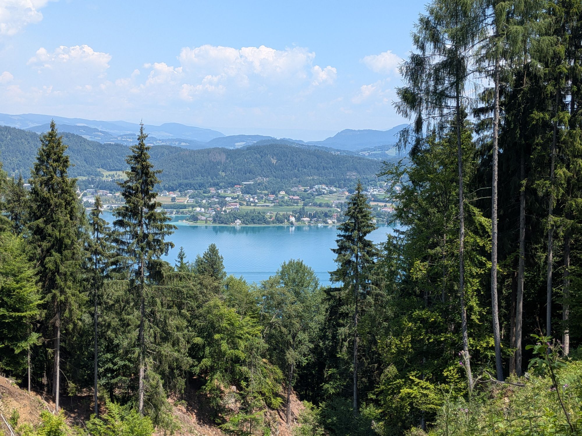
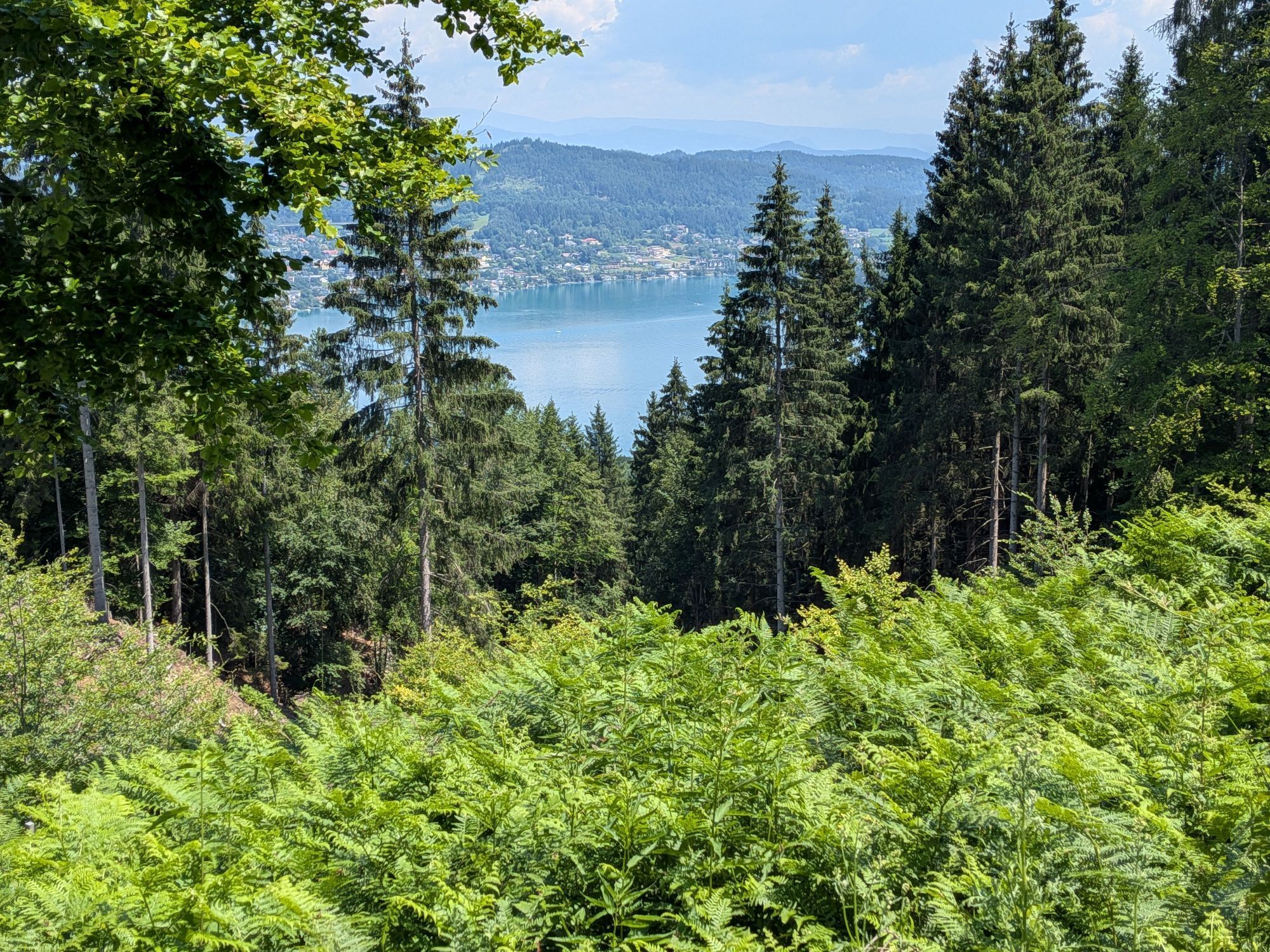

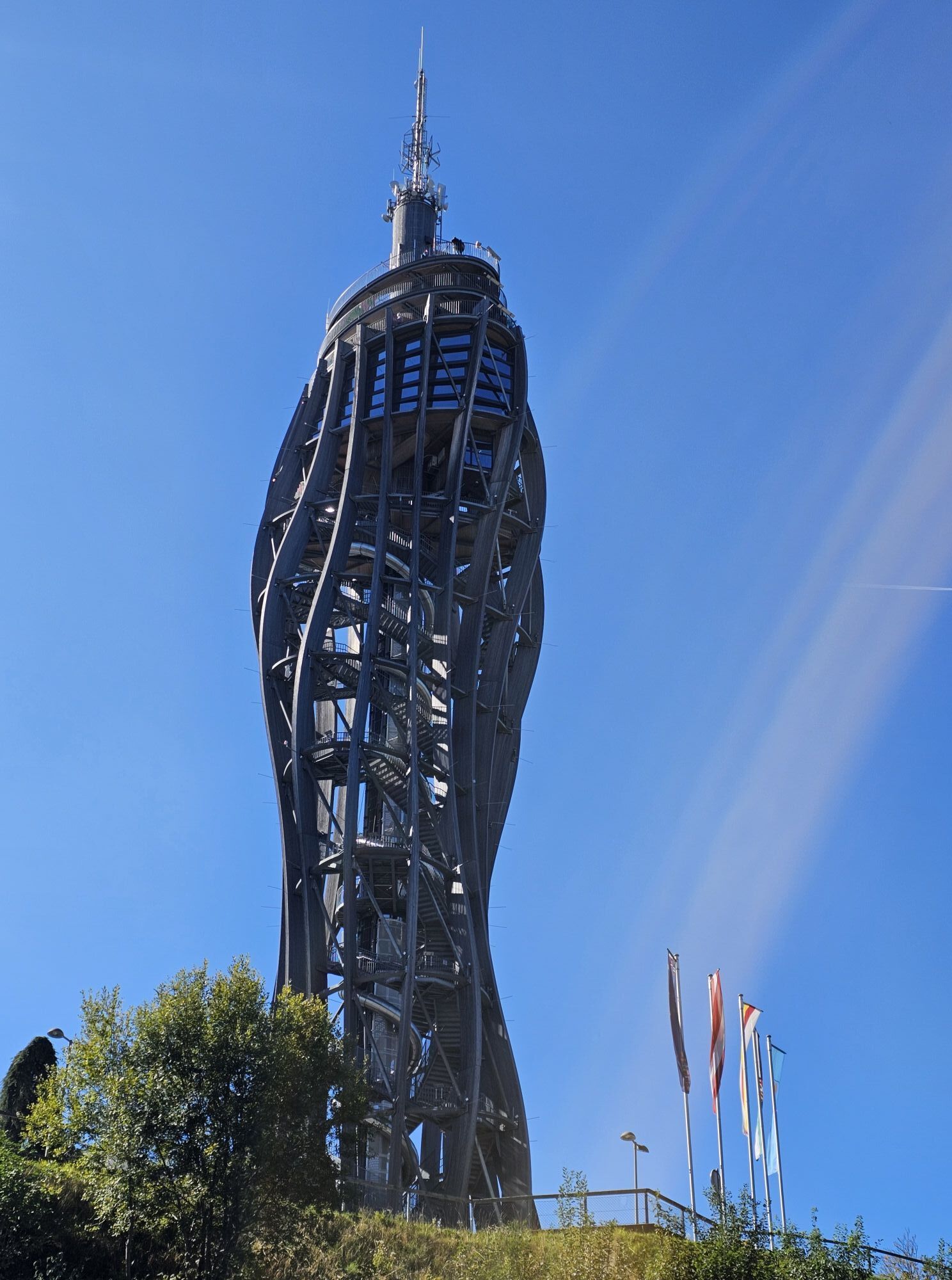
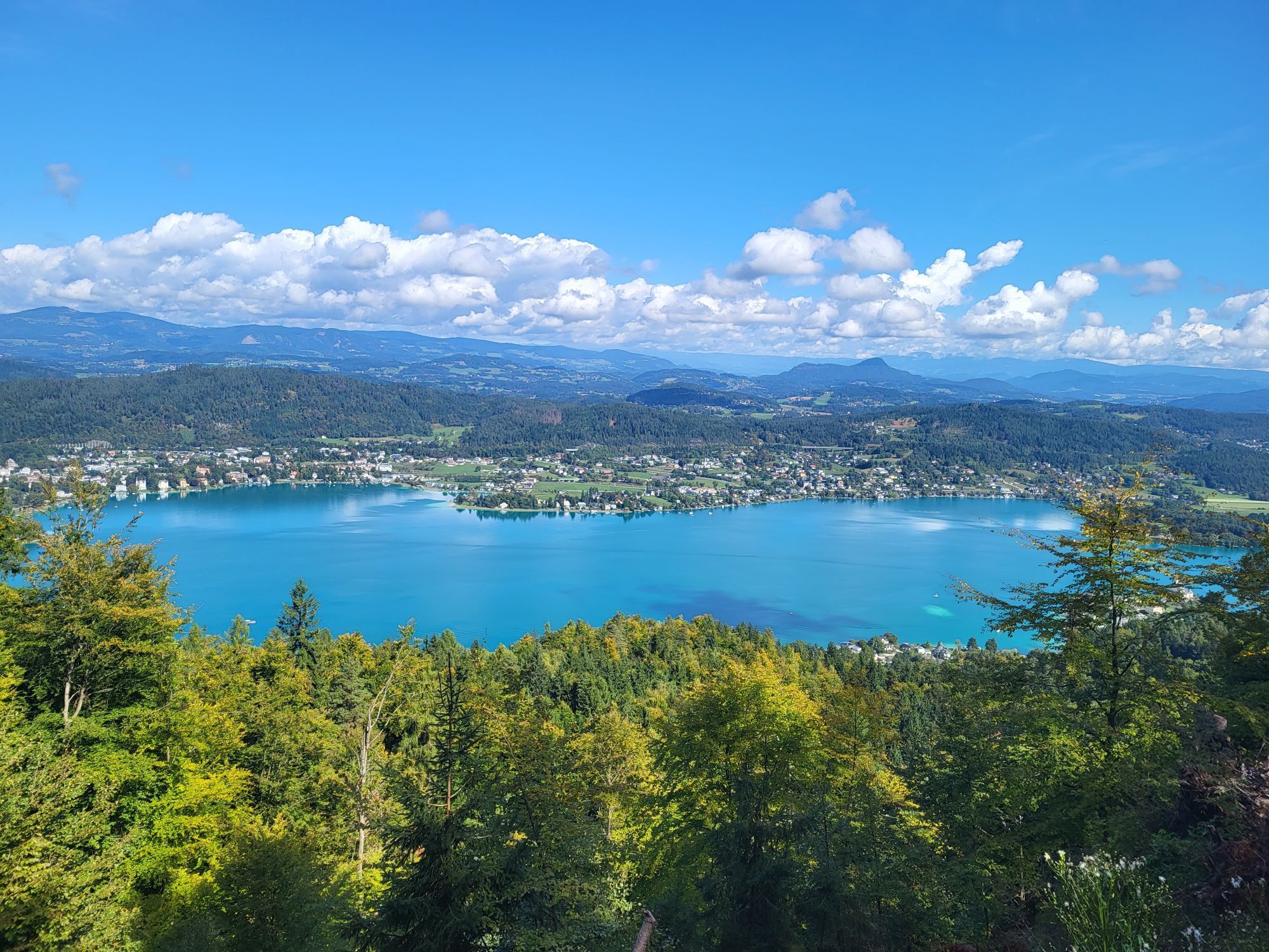
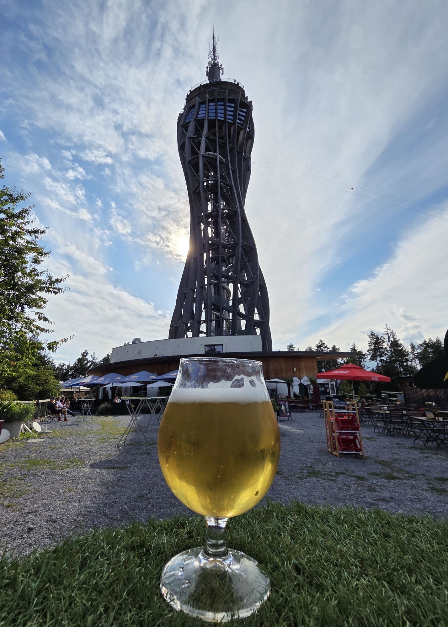
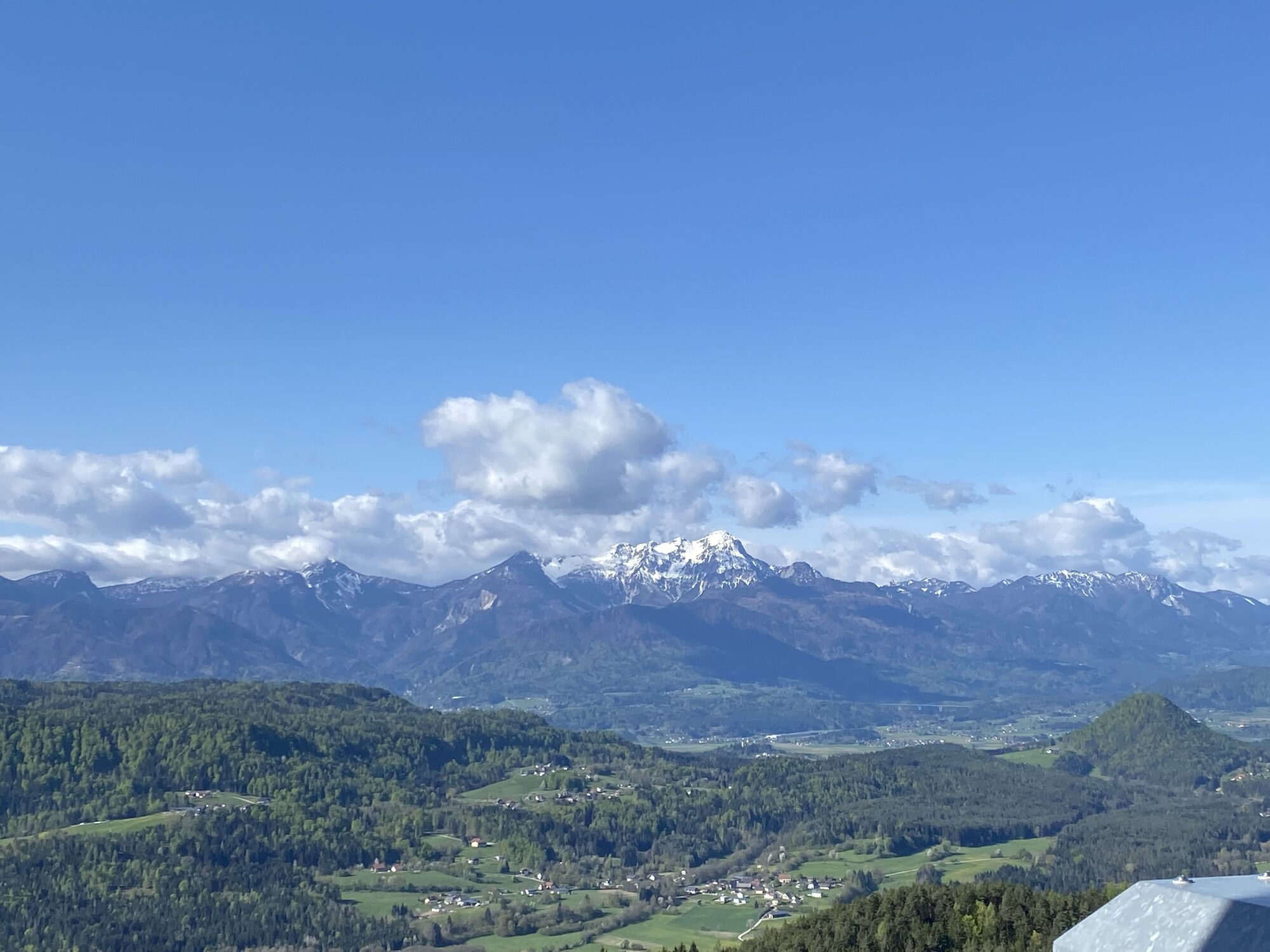
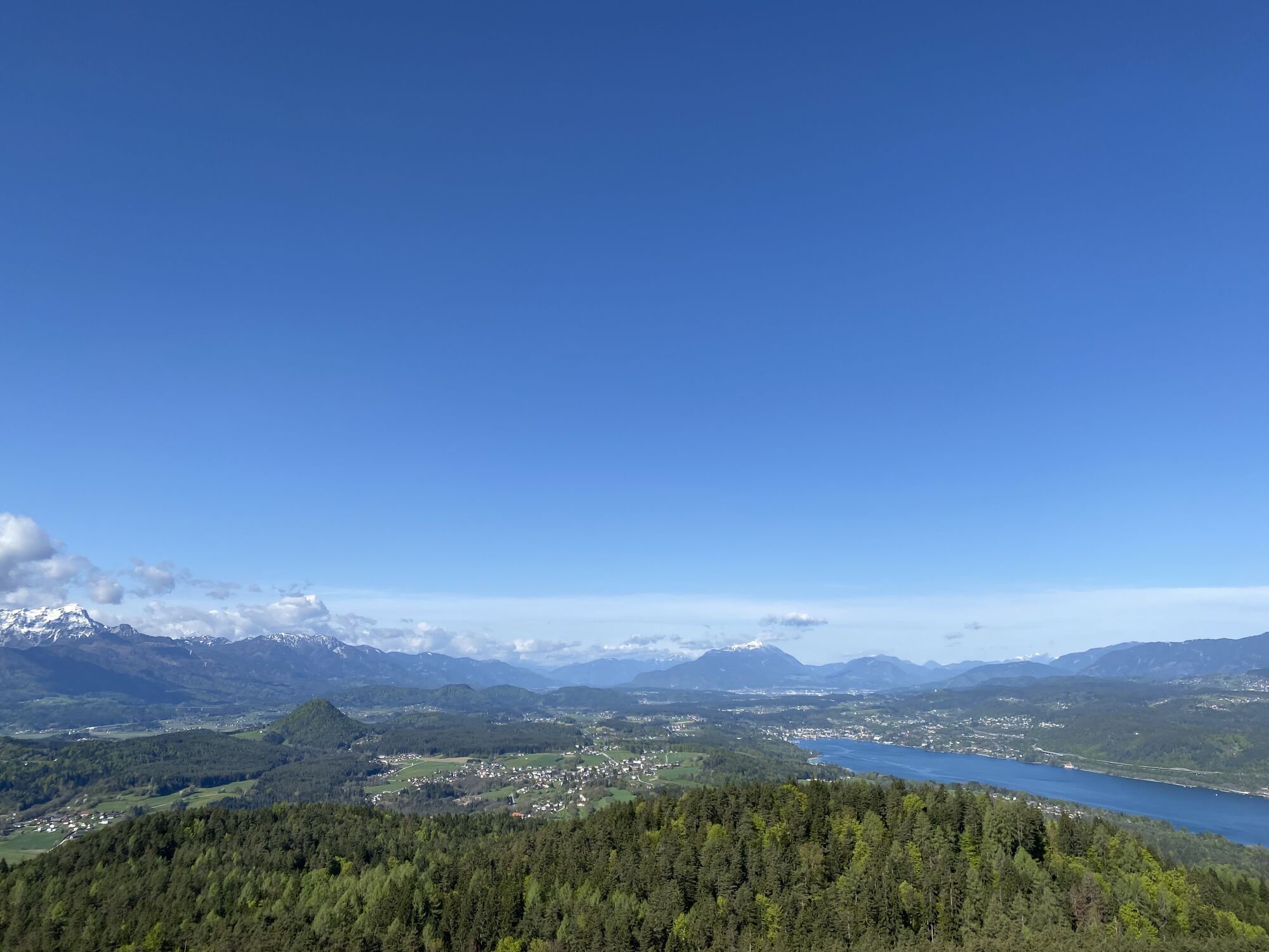
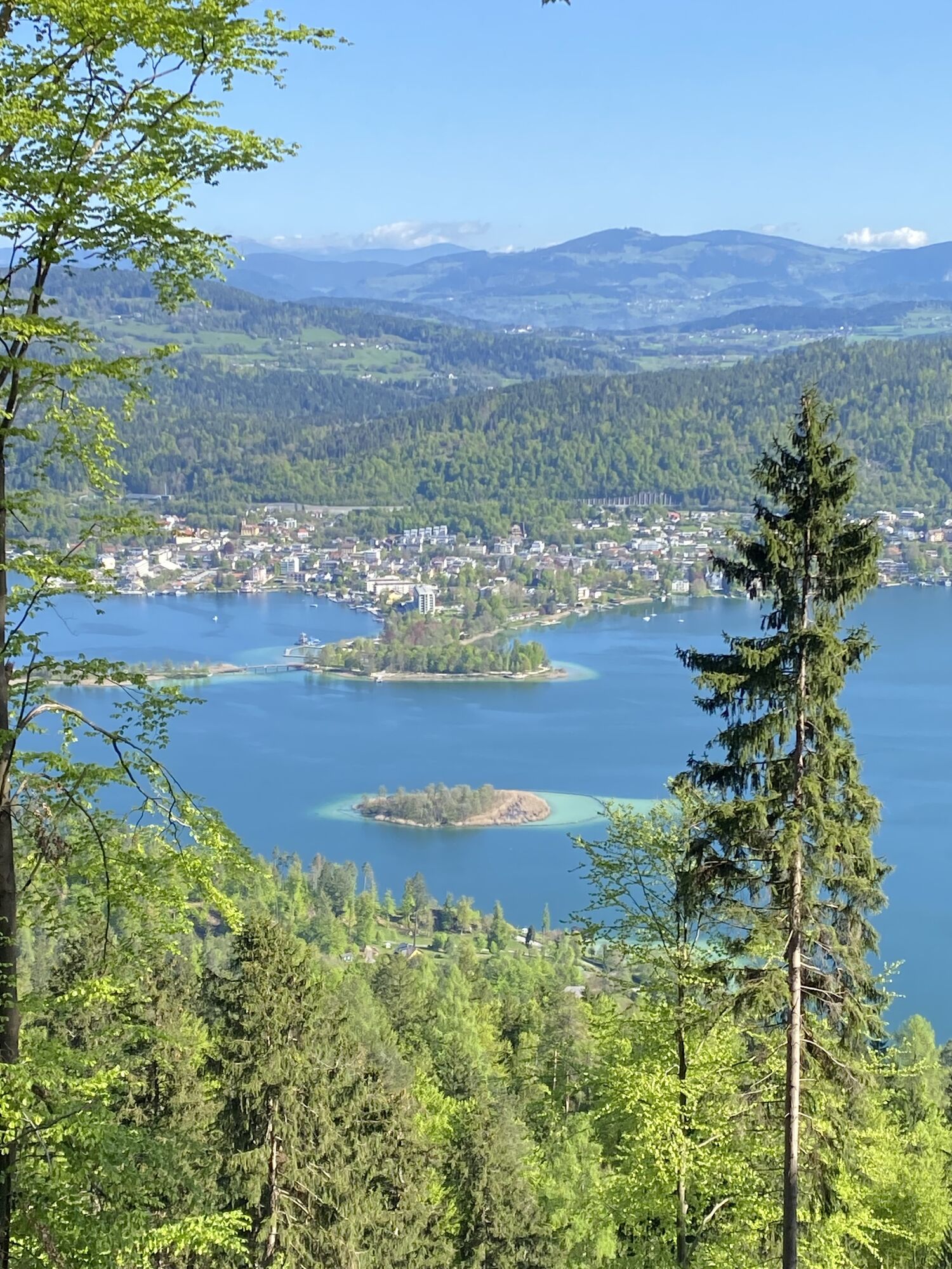
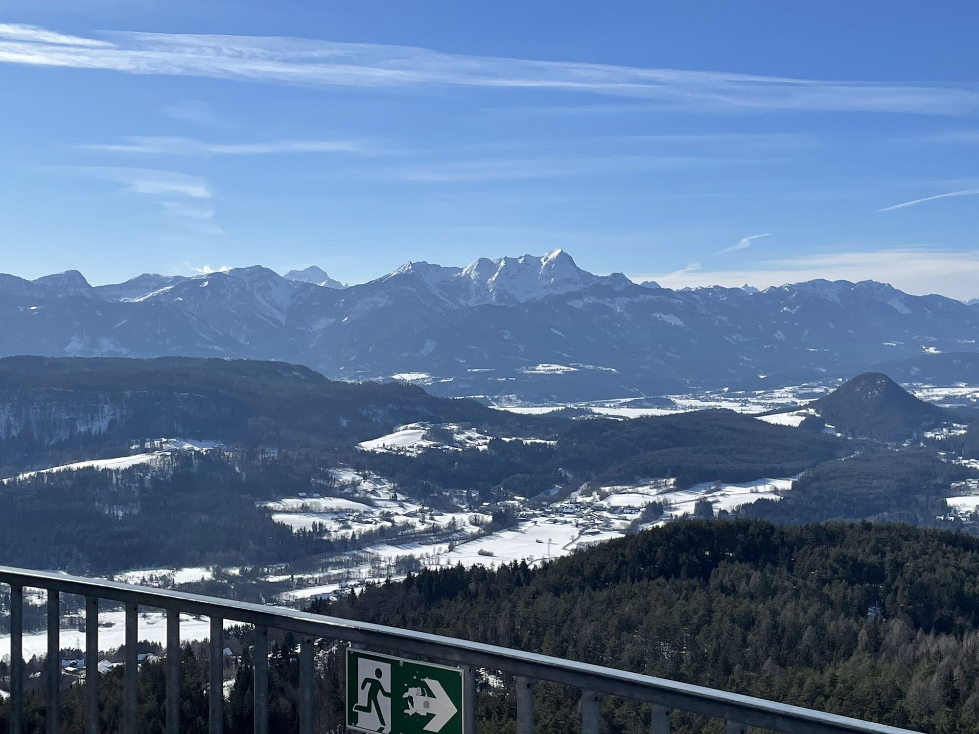
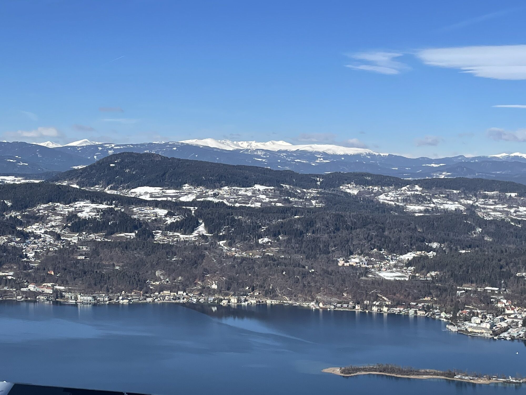
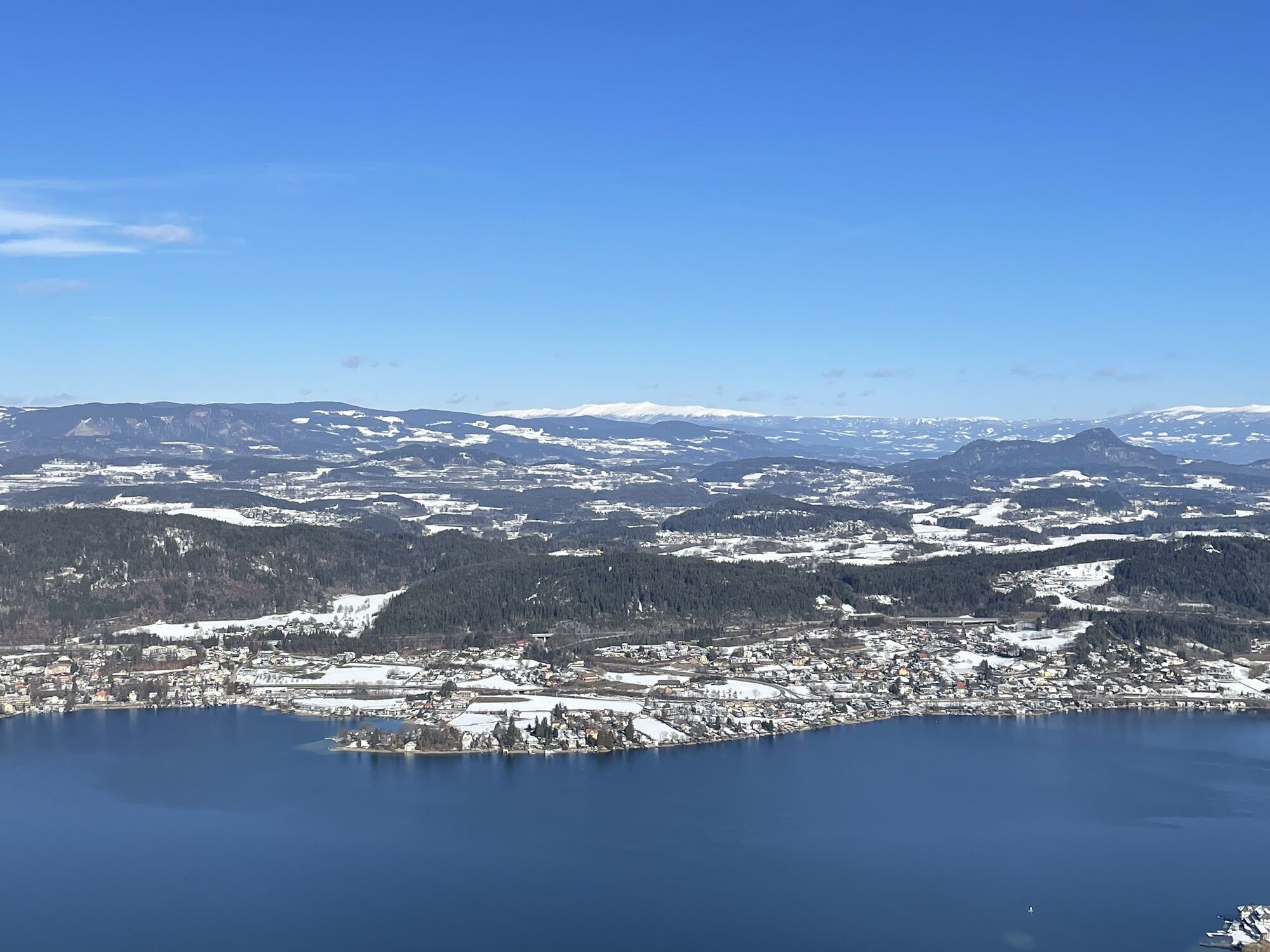
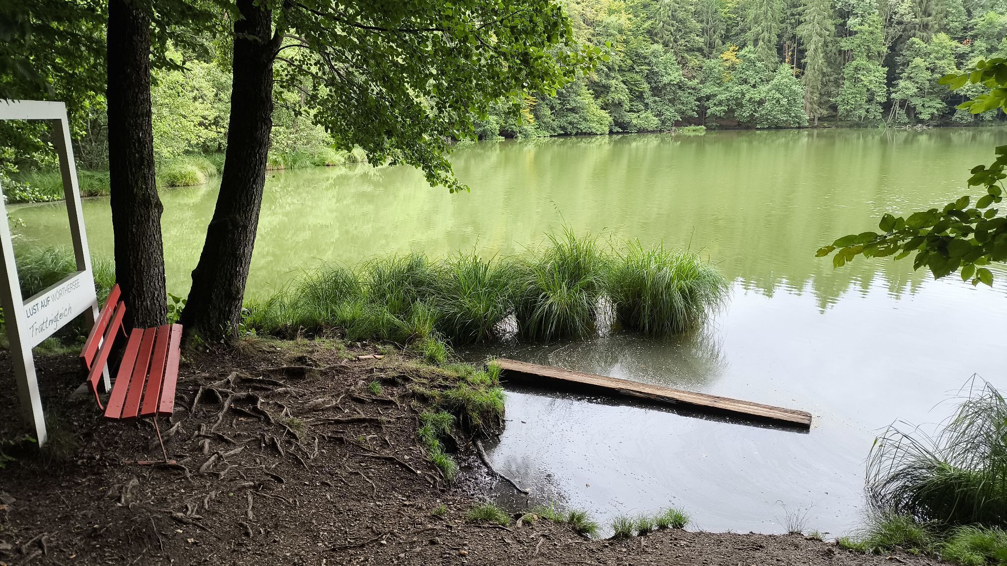
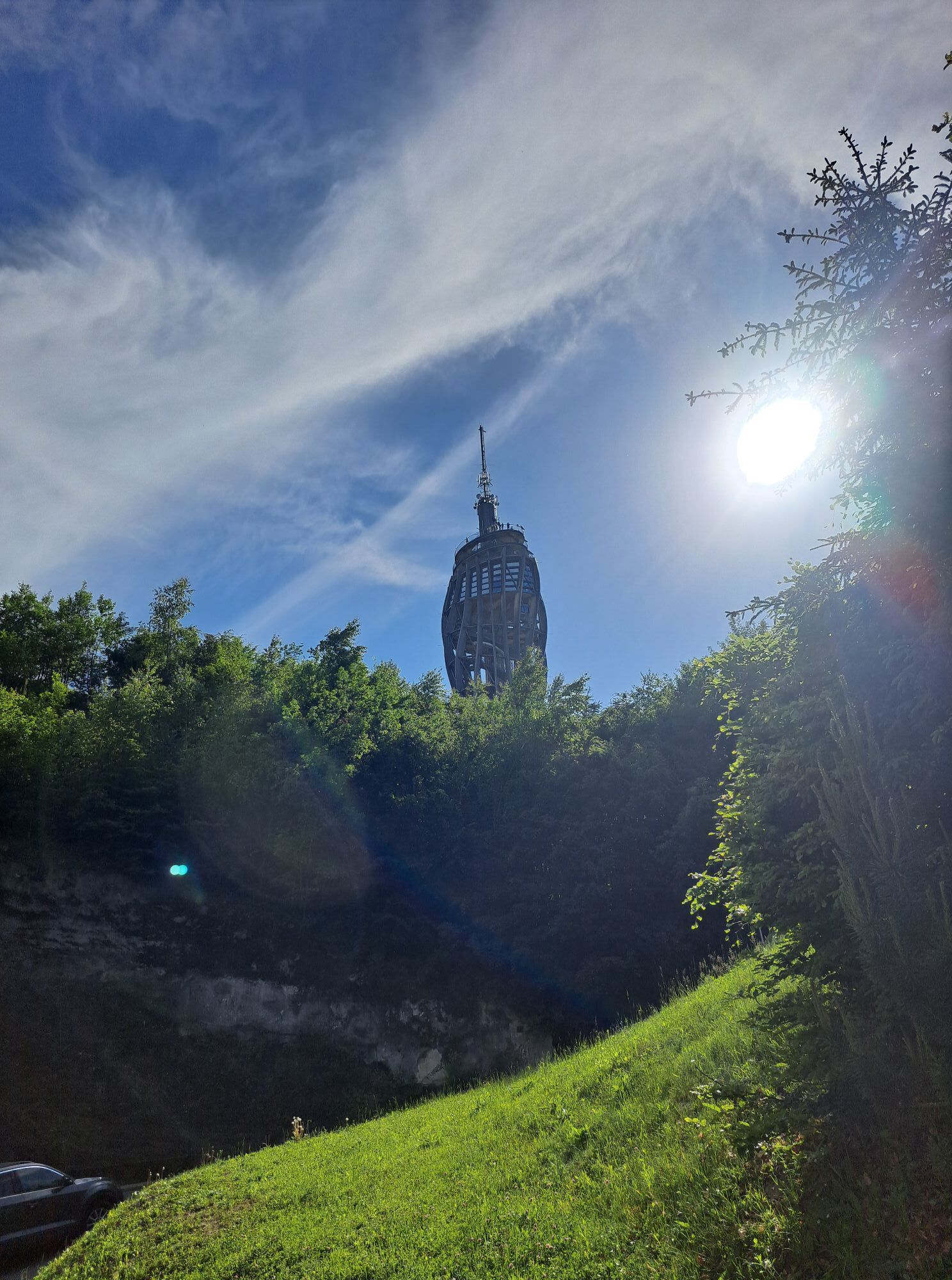
The short and varied Pyramidenkogelweg Schiefling trail is perfect for anyone with a tight time budget who wants to get some exercise. Starting at the Trattnigteich panorama board, the route leads along...
The short and varied Pyramidenkogelweg Schiefling trail is perfect for anyone with a tight time budget who wants to get some exercise. Starting at the Trattnigteich panorama board, the route leads along the Wörthersee high-altitude circular hiking trail no. 7, climbing steeply uphill for approx. 1.5 km to the Pyramidenkogel. The descent goes over the heights in the direction of Albersdorf, where you can stop for refreshments at Gasthof Anderwald. The last stretch to the starting point is then not far away.


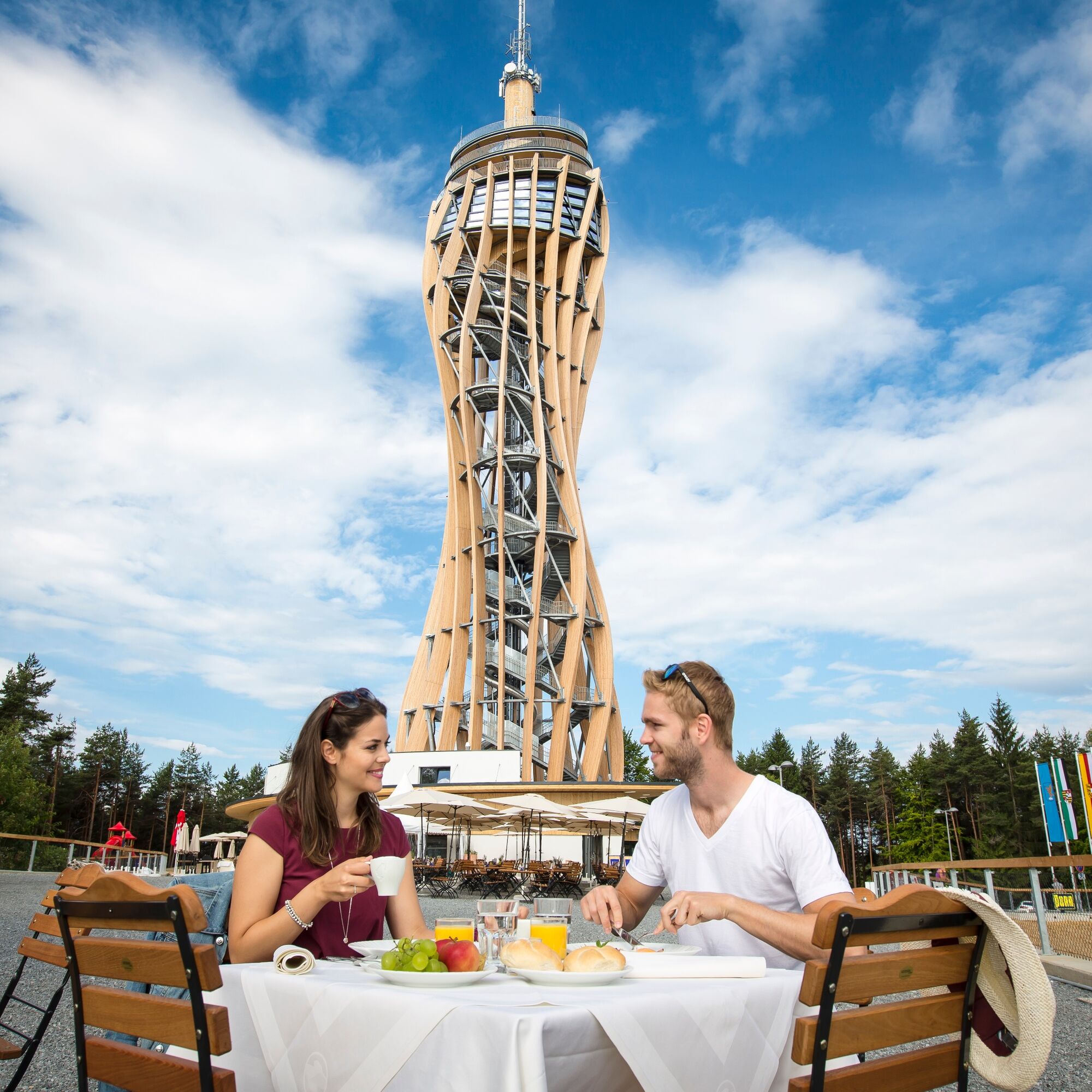

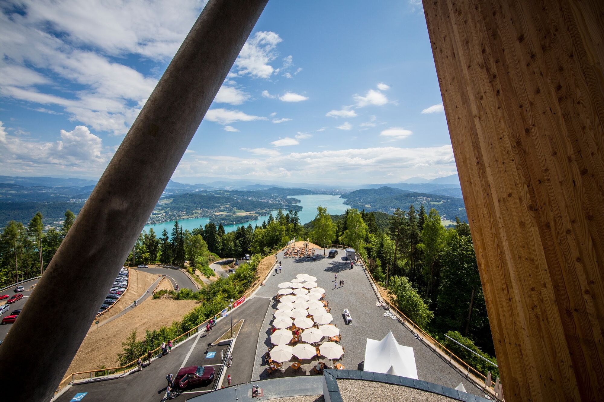
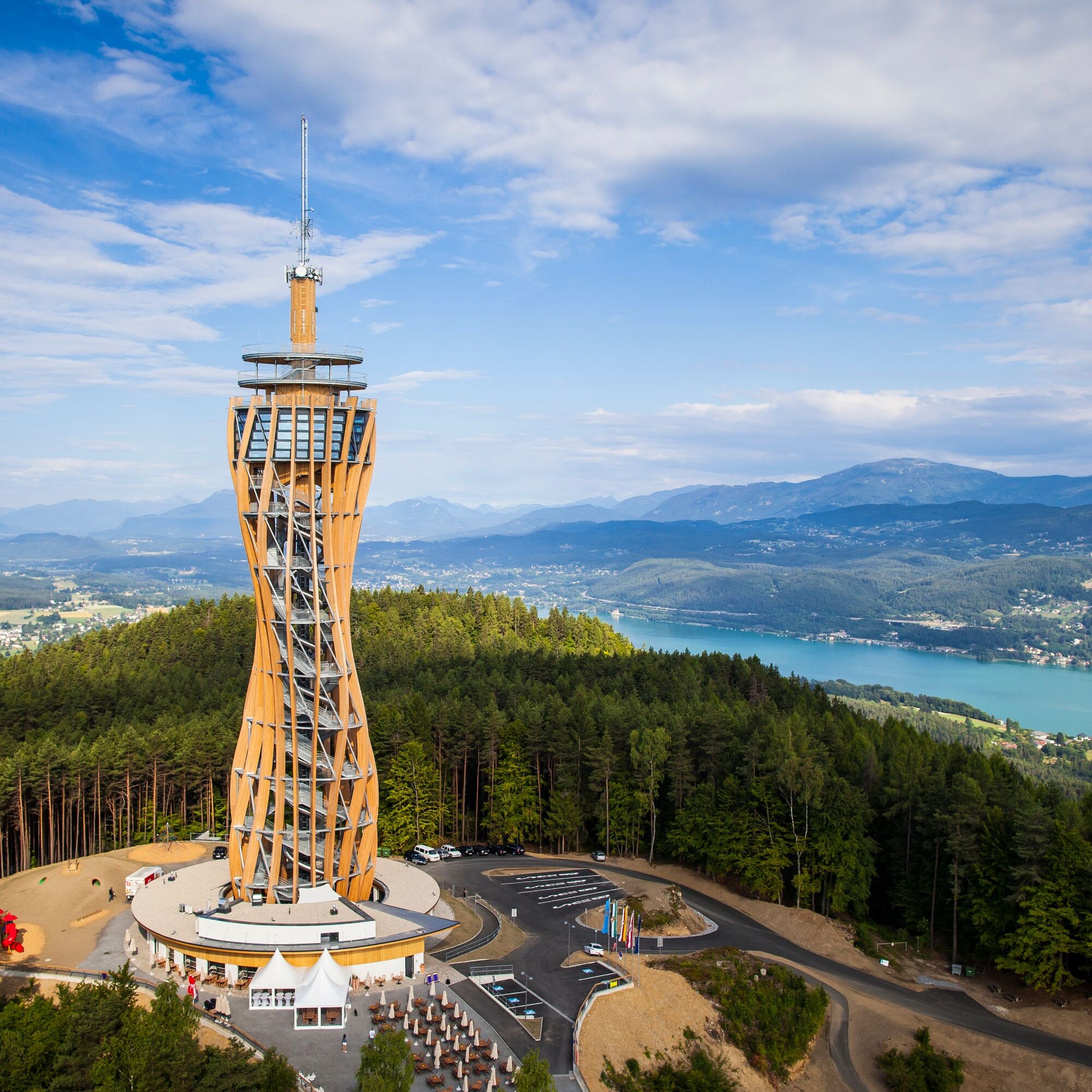

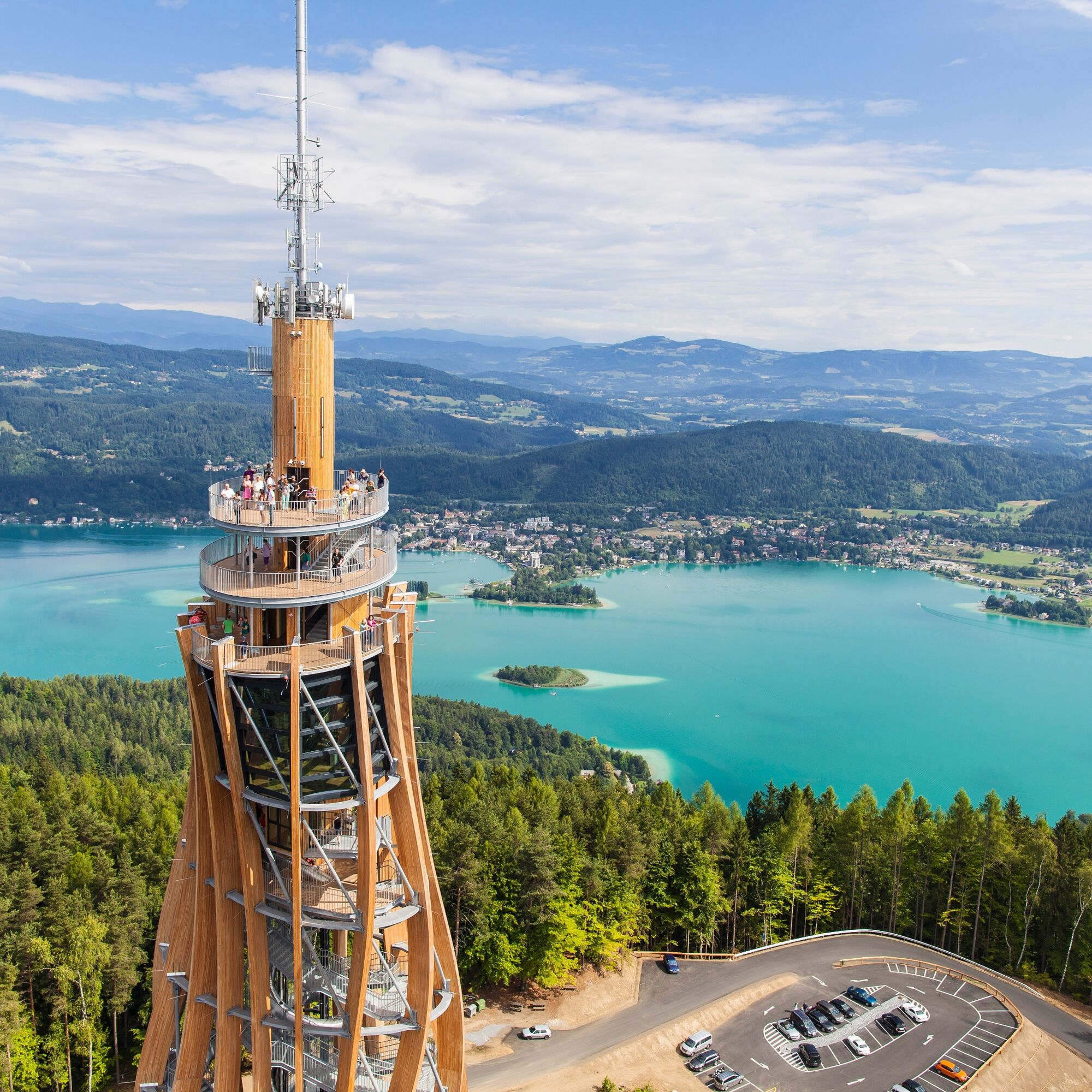
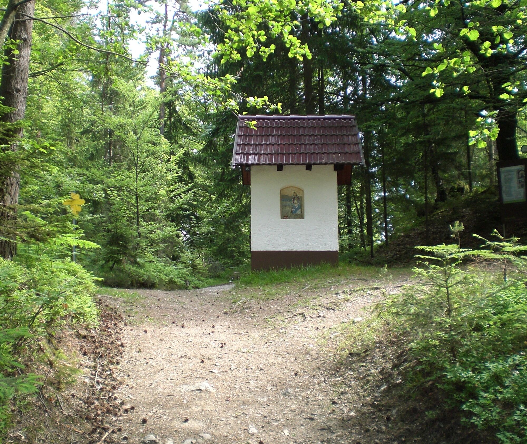
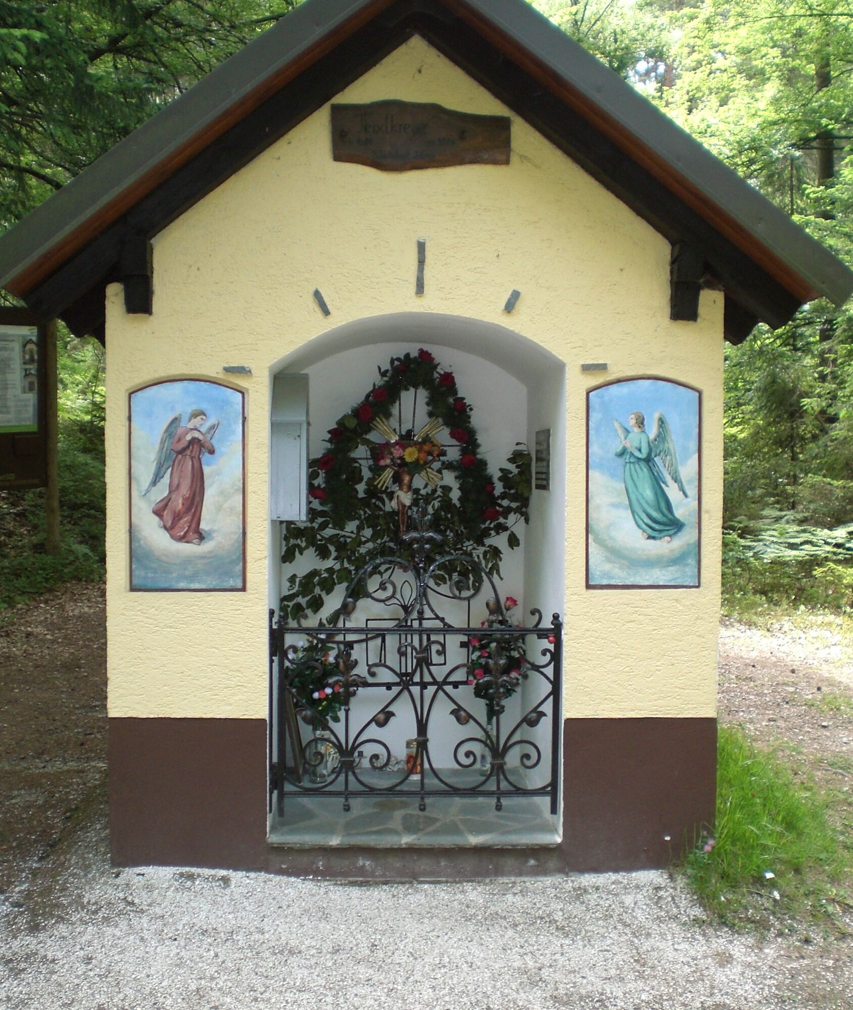
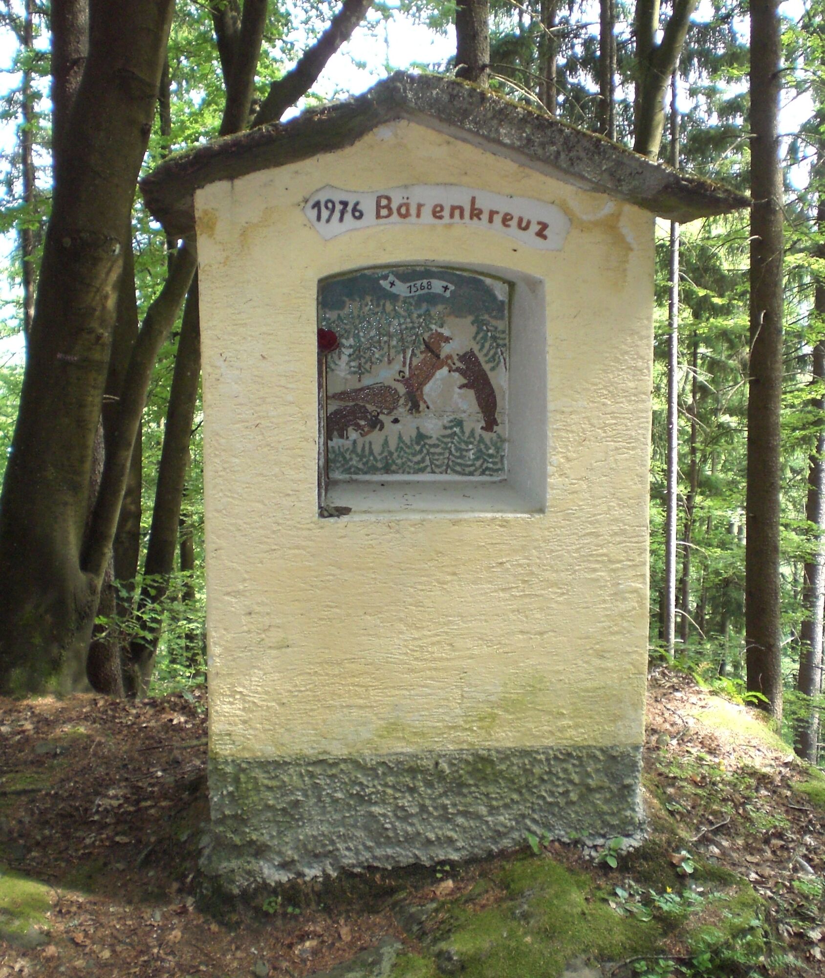
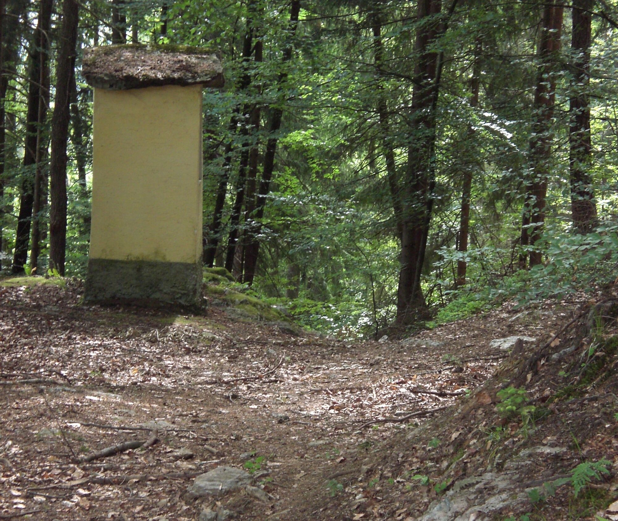
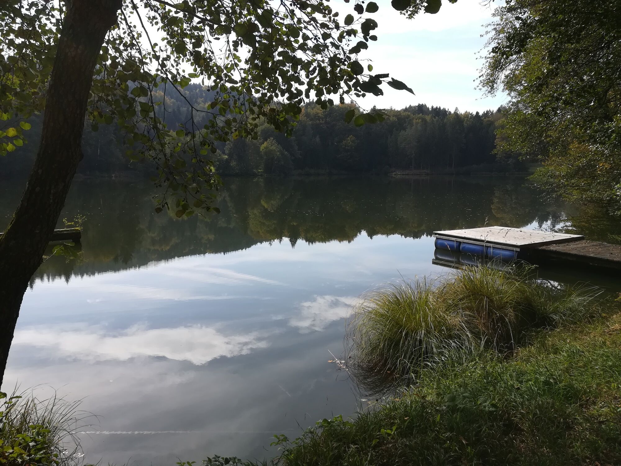
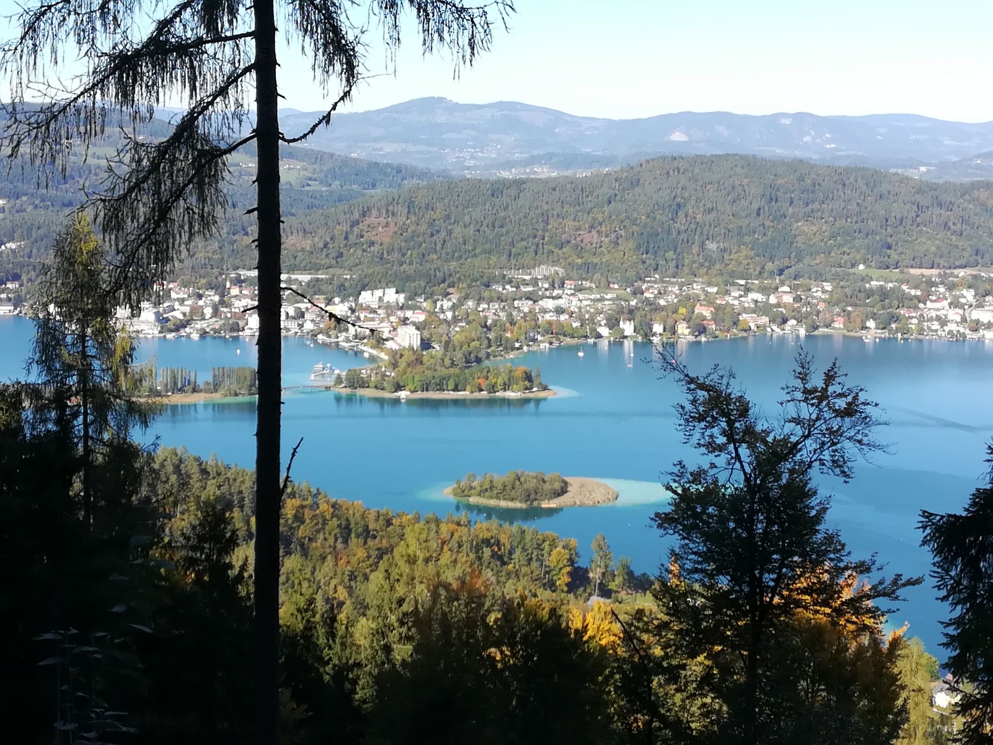

On the way back, follow trail no. 2 (with inns in the immediate vicinity) towards the village of Albersdorf (refreshments available at Gasthof Anderwald) and continue following the signs for trail no. 2. Shortly before your destination, the Buschenschenke Lach invites you to enjoy a typical Carinthian snack. The path to the starting point at Trattnigteich - Gasthof Ramusch - is then not far away.
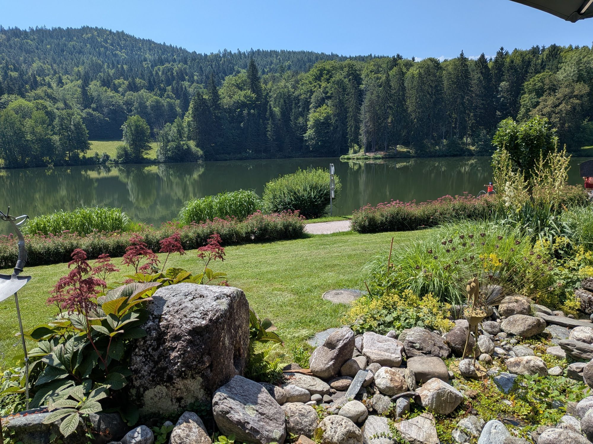
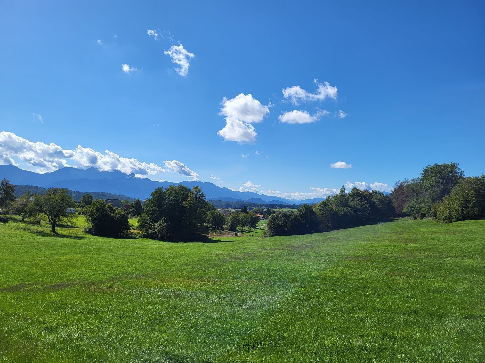
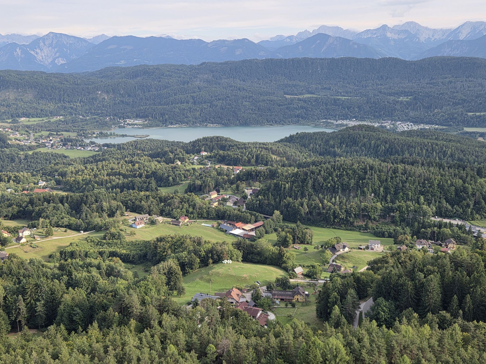
The hike is varied through forests and meadows and small idyllic villages.
Oui
In Schiefling near the market town in the direction of Trattnigteich
Arrival by public transportation is not possible
Parking available at Gasthof Trattnigteich (Trattnigteichstraße 1)


Webcams de la tournée

Activités le long du parcours

Maria Wörth, Kärnten/Österreich
11.10.2026 – Randonnée
Albersdorf, Kärnten/Österreich
24.09.2026 – Randonnée en montagne
Schiefling am Wörthersee, Carinthie/Autriche
14.08.2026 – VTTPyramidenkogel, Carinthie/Autriche
10.08.2026 – Randonnée
Schiefling am Wörthersee, Kärnten/Österreich
15.07.2026 – Randonnée
Schiefling am Wörthersee, Kärnten/Österreich
24.05.2026 – Randonnée
Maria Wörth, Kärnten/Österreich
11.05.2026 – RandonnéeSchiefling am Wörthersee, Kärnten/Österreich
17.04.2026 – Randonnée
Maria Wörth, Kärnten/Österreich
17.09.2025 – Randonnée
Schiefling am Wörthersee, Kärnten/Österreich
08.09.2025 – Randonnée
Parcours populaires à proximité
- 5,0
Wörthersee EXTREM
difficileRandonnée 60,1 km - 4,6
Parcours Hoher Gallin
moyenRandonnée 7,09 km - 4,5
Chemin du Pyramidenkogel Maria Wörth
moyenRandonnée 10,8 km - 4,5
Circuit du lac de Wörthersee (Wörthersee - Keutschacher Seental)
moyenFaire du vélo 48,2 km - 4,4
Parcours autour du lac Wörthersee
moyenFaire du vélo 41,2 km - 4,7
Zillhöhe
moyenCourir 7,94 km - 4,2
Slow Trail Bleistätter Moor (variante A)
facileRandonnée 7,22 km - 4,7
Vierbergelauf
moyenChemin de pèlerinage 47,6 km - 4,6
Passage du Sinacher Gupf
moyenRandonnée 8,32 km - 5,0
Sentier du Pyramidenkogel à Keutschach
moyenRandonnée 13,8 km
Randonnée et suivi


Ne manquez pas les offres et l'inspiration pour vos prochaines vacances
Votre adresse électronique a été ajouté à la liste de diffusion.





