


Hochstadel via the Rudnigweg


From Hochstadel bothy at 1780m proceed from the car park in a westerly direction through Unholdalm to the junction at the fountain, where steep path No. 218 (Rudnigweg) proceeds up to the summit of the...
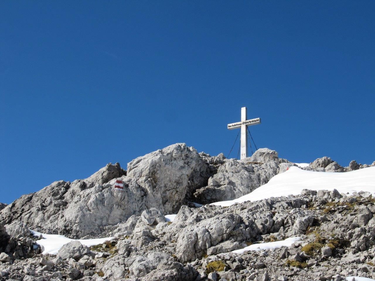
From Hochstadel bothy at 1780m proceed from the car park in a westerly direction through Unholdalm to the junction at the fountain, where steep path No. 218 (Rudnigweg) proceeds up to the summit of the Hochstadel at 2681m.
The Hochstadel is a summit in the Lienz Dolomites which is relatively easy to tackle. At the Hochstadel summit, a breath-taking panoramic view across Oberes Drautal, Gailtal, the Lienz valley floor, through to the Glockner-, Venediger- and Kreuzeck groups, the Lienz Dolomites, Gailtal Alps and the Carnic Alps in the south, awaits. The panoramic view deems it worthy of its nickname, "King of Oberes Drautal’.

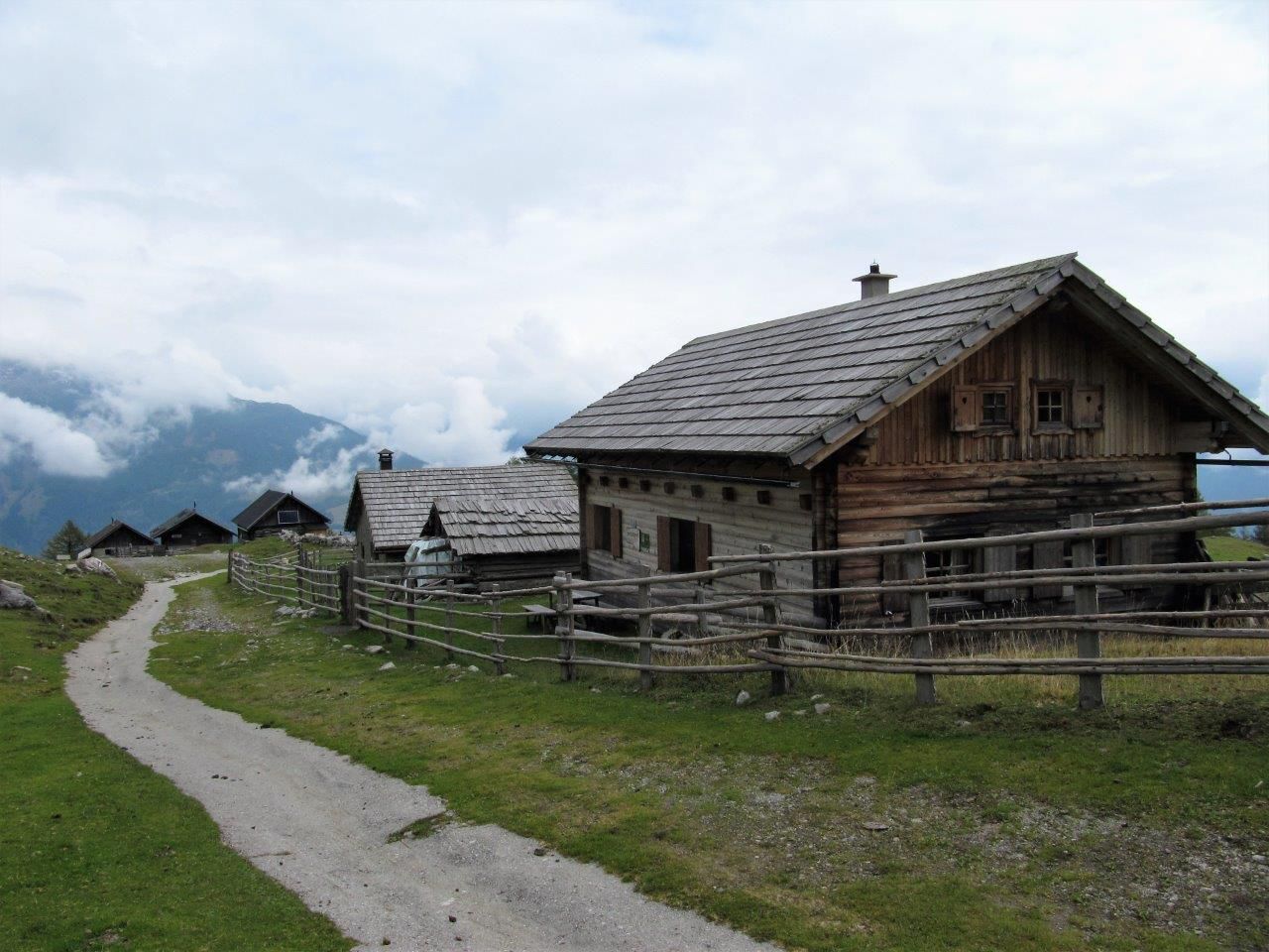
Mit dem Hüttentaxi zum Hochstadel Schutzhaus.
Parcours populaires à proximité
- 4,8
Lienzer Dolomiten-Lasertörl
moyenRandonnée13,2 km - 5,0
Tour de l'Ederplan depuis le parking de Stronach
moyenRandonnée7,19 km - 4,2
Gorges de Pirkner
moyenVia ferrata1,99 km - 4,7
Anna Schutzhaus am Ederplan
moyenRandonnée2,76 km - 3,9
Randonnée au sommet du Hochstadel
moyenRandonnée7,83 km - 2,6
Lienzer Dolomiten: Karlsbader Hütte und Laserzwand
facileRandonnée5,91 km - 5,0
Dolomitenhütte, Rudl-Eller-Weg / Steig, Piccola Ferrata, Laserzsee, Karlsbaderhütte, Dolomitenhütte, Tristach, Österreich
moyenRandonnée en montagne11,1 km - 3,2
Straßkopf
moyenSki de randonnée10,6 km - 4,5
Lienzer Hütte im Debanttal
facileE-MTB39,5 km - 4,6
Obergail - Obergailer Alm - Obergailer See - Enderberghütte - Quelle für Gesundheit & Frieden - Madonna Rundwanderweg - Obergail
moyenRandonnée11,4 km
Randonnée et suivi


Ne manquez pas les offres et l'inspiration pour vos prochaines vacances
Votre adresse électronique a été ajouté à la liste de diffusion.