


Guttaring - Mühlen - Friesach -Althofen - Guttaring


Photos de nos utilisateurs
-
 © Bernhard KelcCréé le 01.11.2022
 -
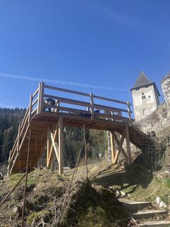
 © g. w.Créé le 09.10.2025
 -
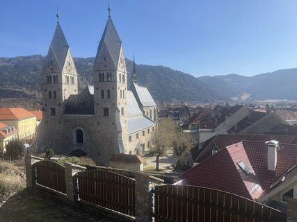
 © Isabella Peinsold-KlammerCréé le 20.09.2025
 -
 © Bernhard KelcCréé le 01.11.2022
 -
 © Bernhard KelcCréé le 01.11.2022
 -
 © Bernhard KelcCréé le 01.11.2022
 -

 © lisale1967Créé le 17.09.2025
 -
 © lisale1967Créé le 17.09.2025
 -
 © lisale1967Créé le 17.09.2025
 -
 © SchmurtilCréé le 09.03.2025
 -
 © SchmurtilCréé le 09.03.2025
 -
 © SchmurtilCréé le 09.03.2025
 -
 © SchmurtilCréé le 09.03.2025
 -
 © SchmurtilCréé le 09.03.2025
 -
 © SchmurtilCréé le 09.03.2025


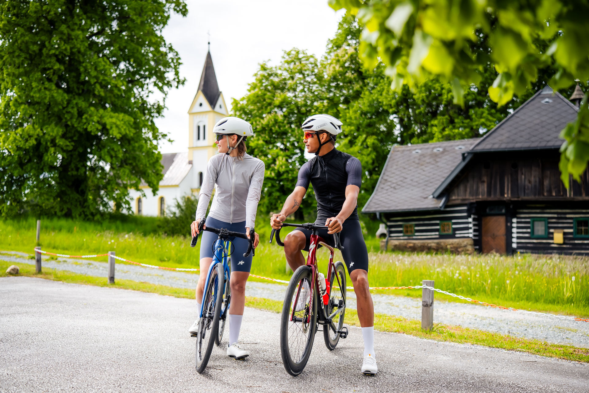
The Guttaring - Mühlen - Friesach - Althofen - Guttaring road bike route is a varied tour through central Carinthia. It starts in Guttaring and leads to Mühlen. From there it continues to Friesach, the...
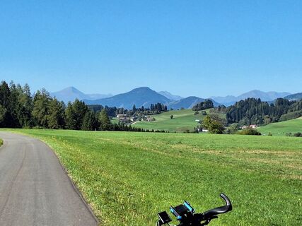
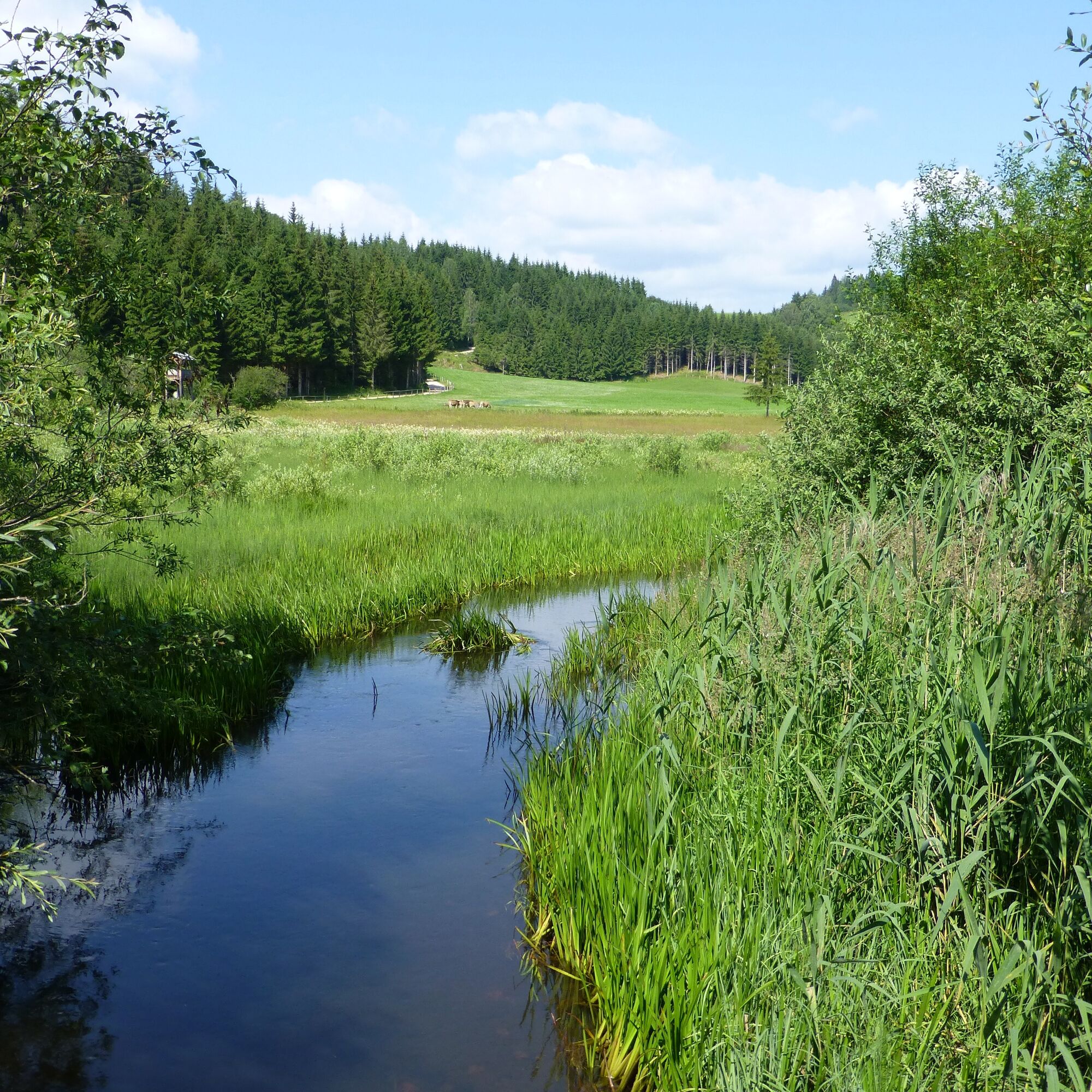
The Guttaring - Mühlen - Friesach - Althofen - Guttaring road bike route is a varied tour through central Carinthia. It starts in Guttaring and leads to Mühlen. From there it continues to Friesach, the oldest town in Carinthia, where medieval architecture and an imposing castle are sure to impress. The route from Friesach to Althofen offers several climbs and descents. Althofen, known for its old town, invites you to take a short break. The return journey to Guttaring leads along quiet, slightly hilly roads and offers a relaxed ride. With a total length of approx. 60 km and 500 meters in altitude, the tour is ideal for experienced cyclists. Mostly asphalted paths and roads with little traffic make it particularly attractive. Perfect for spring to fall - a mix of sporting challenge and enjoyment of nature!
Guttaring → mills
Distance: approx. 20-25 km
Elevation profile: Easy to medium gradients
Highlights: The route is ideal for warming up, but also offers some smaller climbs.
Mühlen: This place is a good spot for a short break. There are opportunities to refresh yourself or enjoy the surrounding nature.
Mills → Friesach
Distance: approx. 20 km
Elevation profile: Mainly downhill with some flat sections
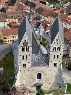
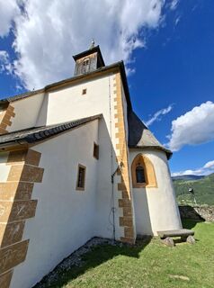
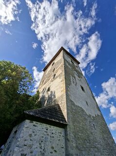
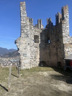
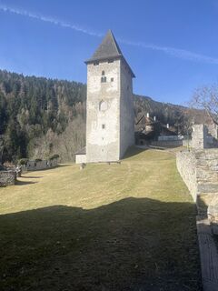
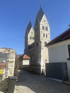
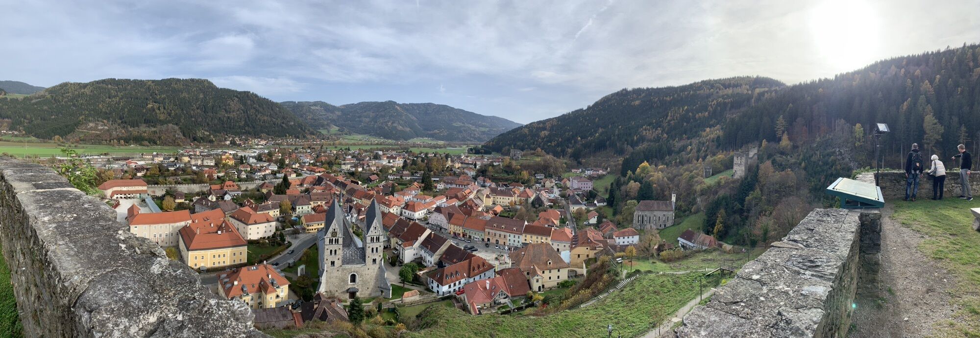
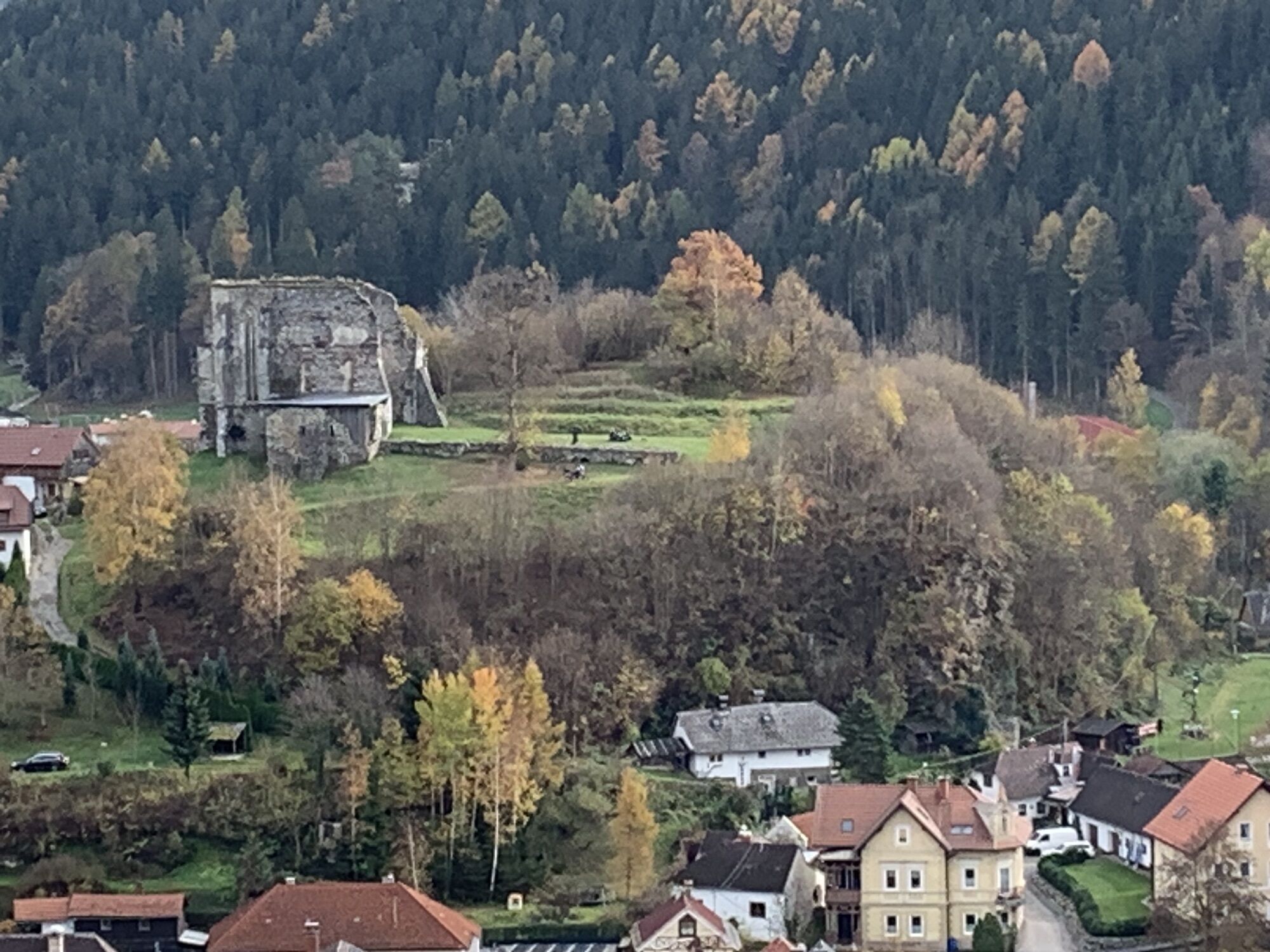
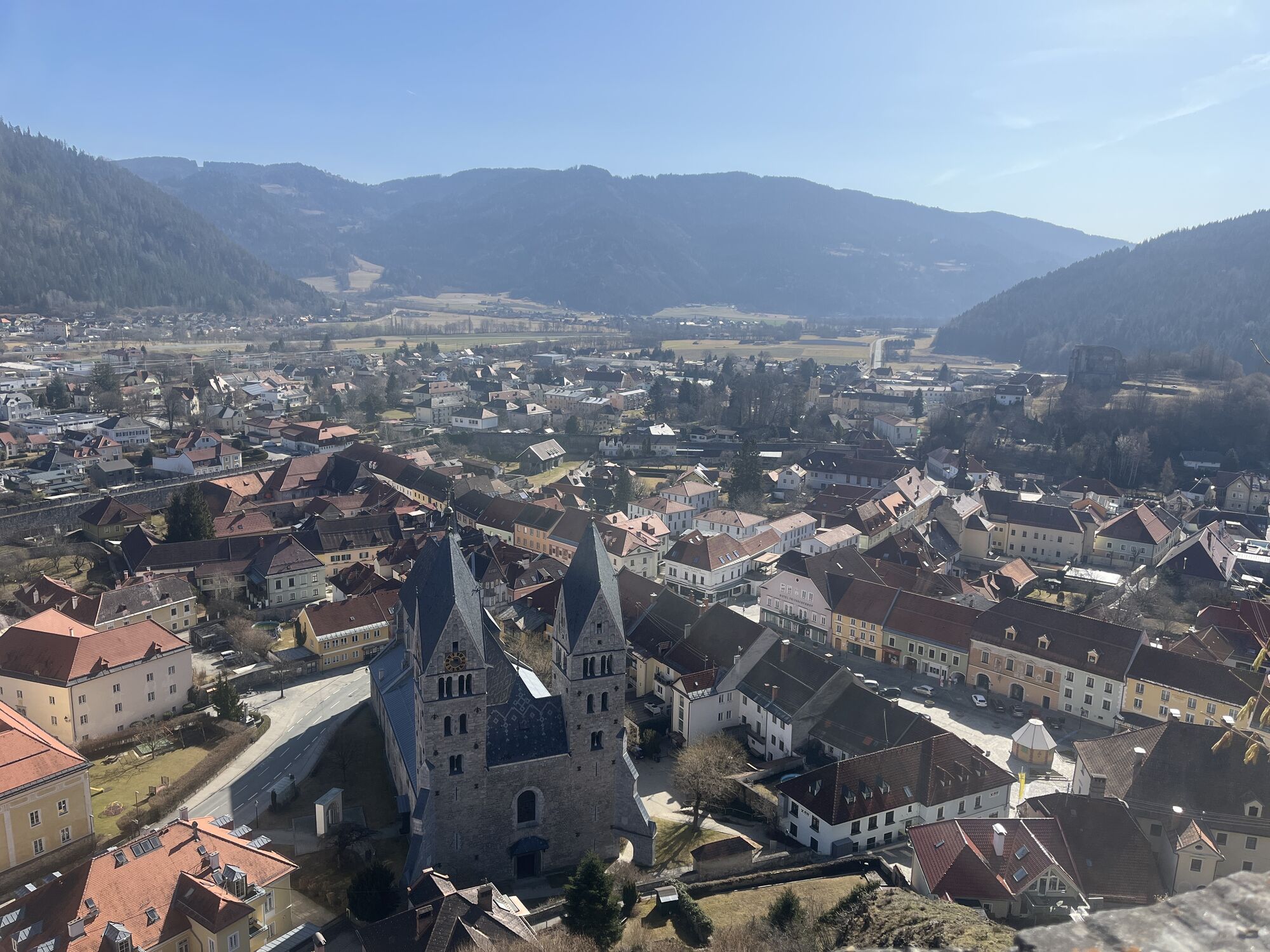
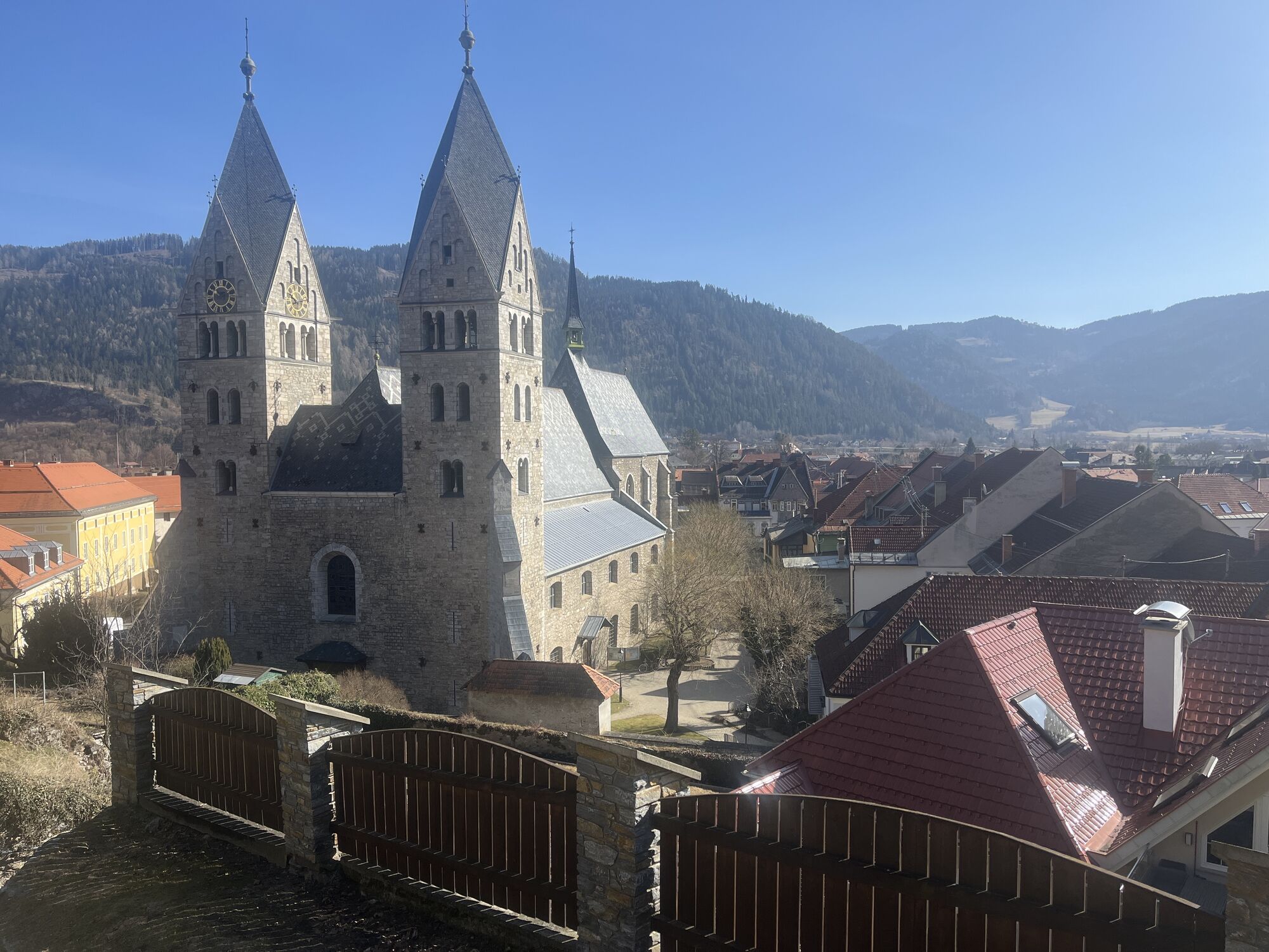
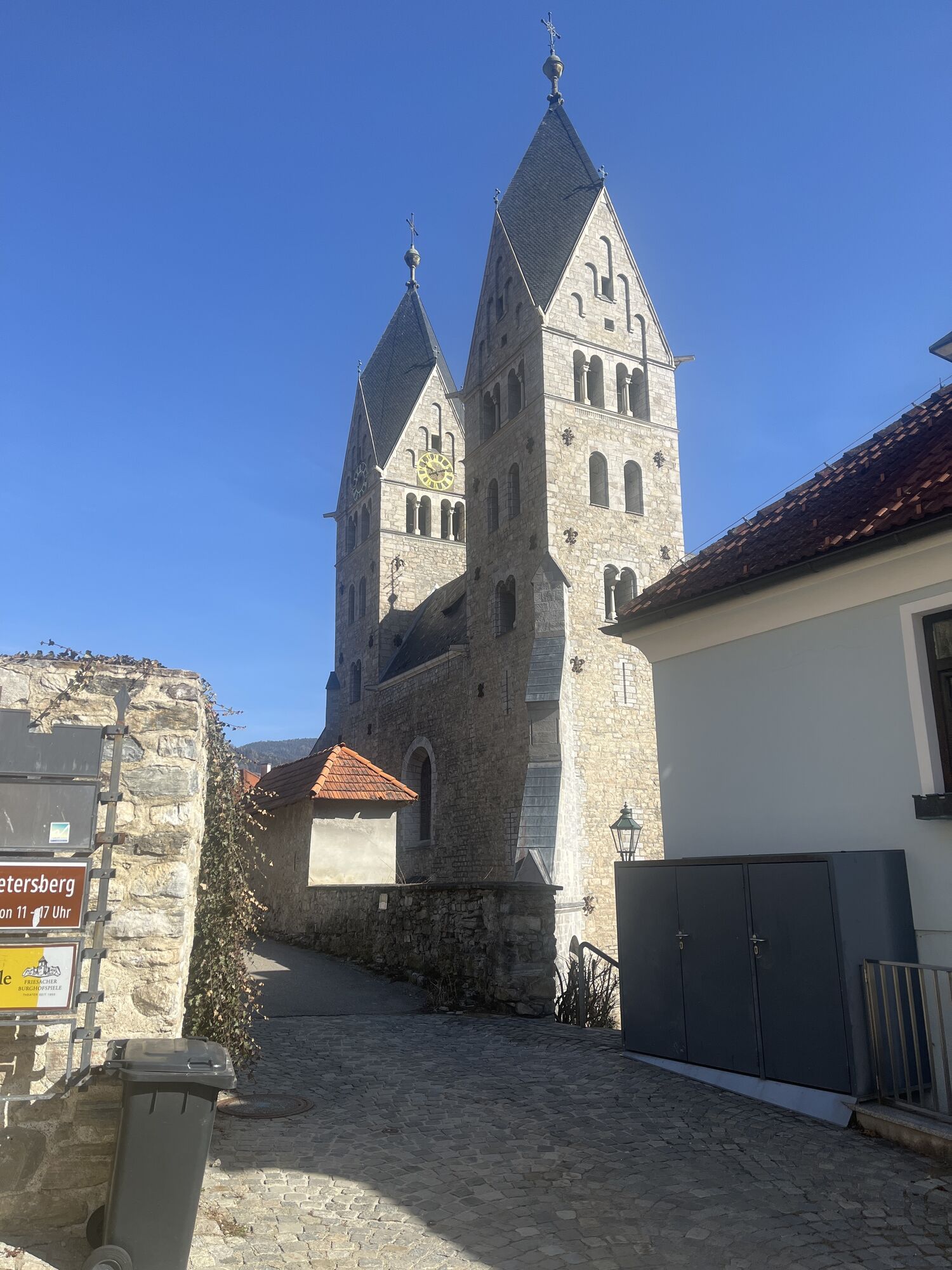
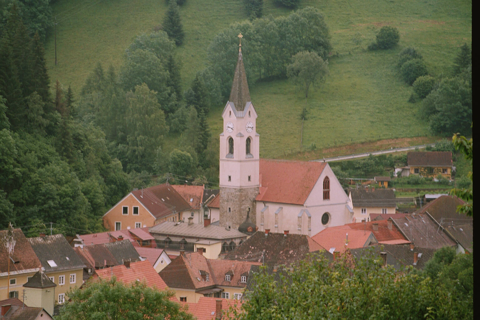
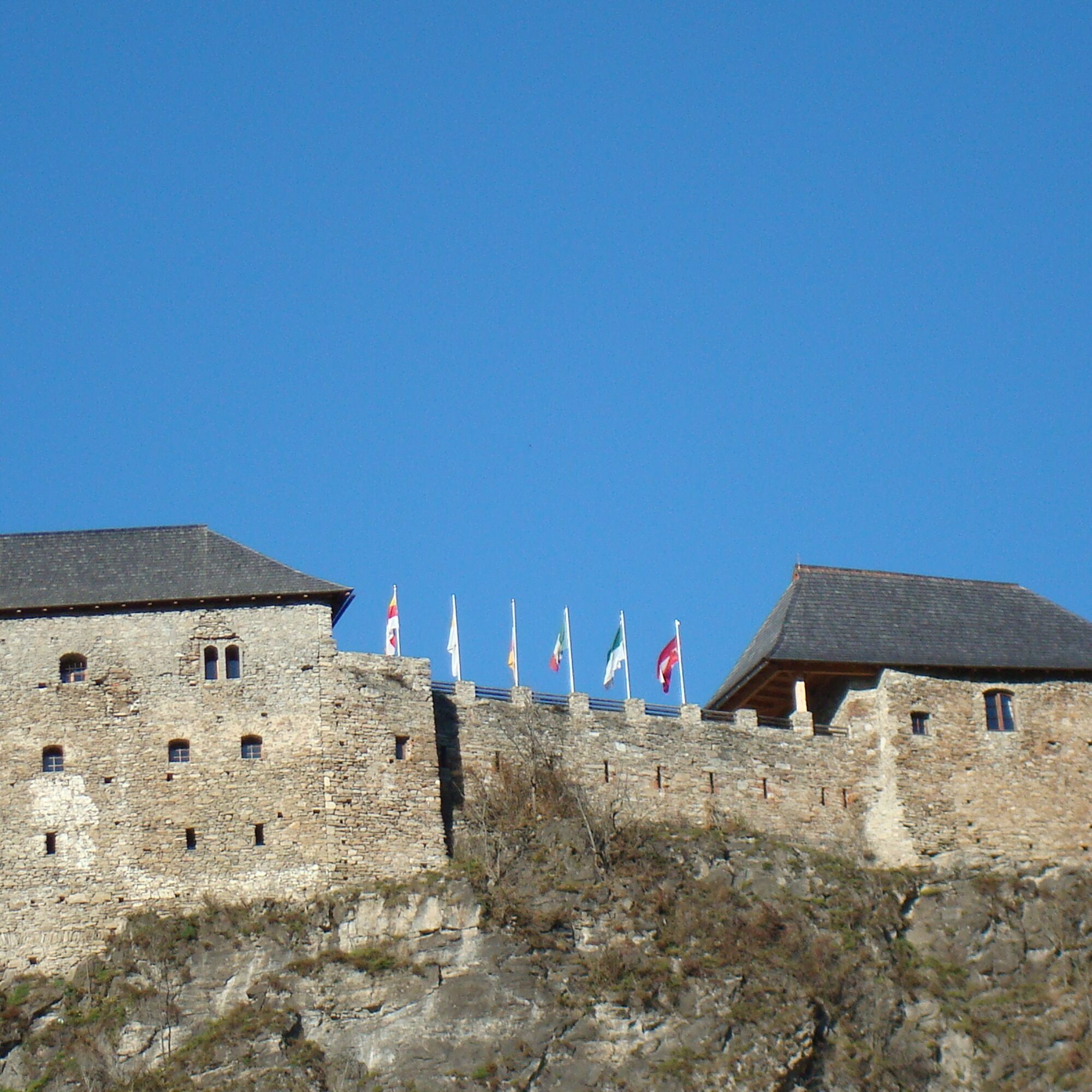
Highlights: The route leads through a beautiful scenery framed by mountains. Friesach, the oldest town in Carinthia, awaits you with its medieval architecture, impressive castle and historic moat.
Friesach → Althofen
Distance: approx. 15-20 km
Elevation profile: alternating ascents and descents
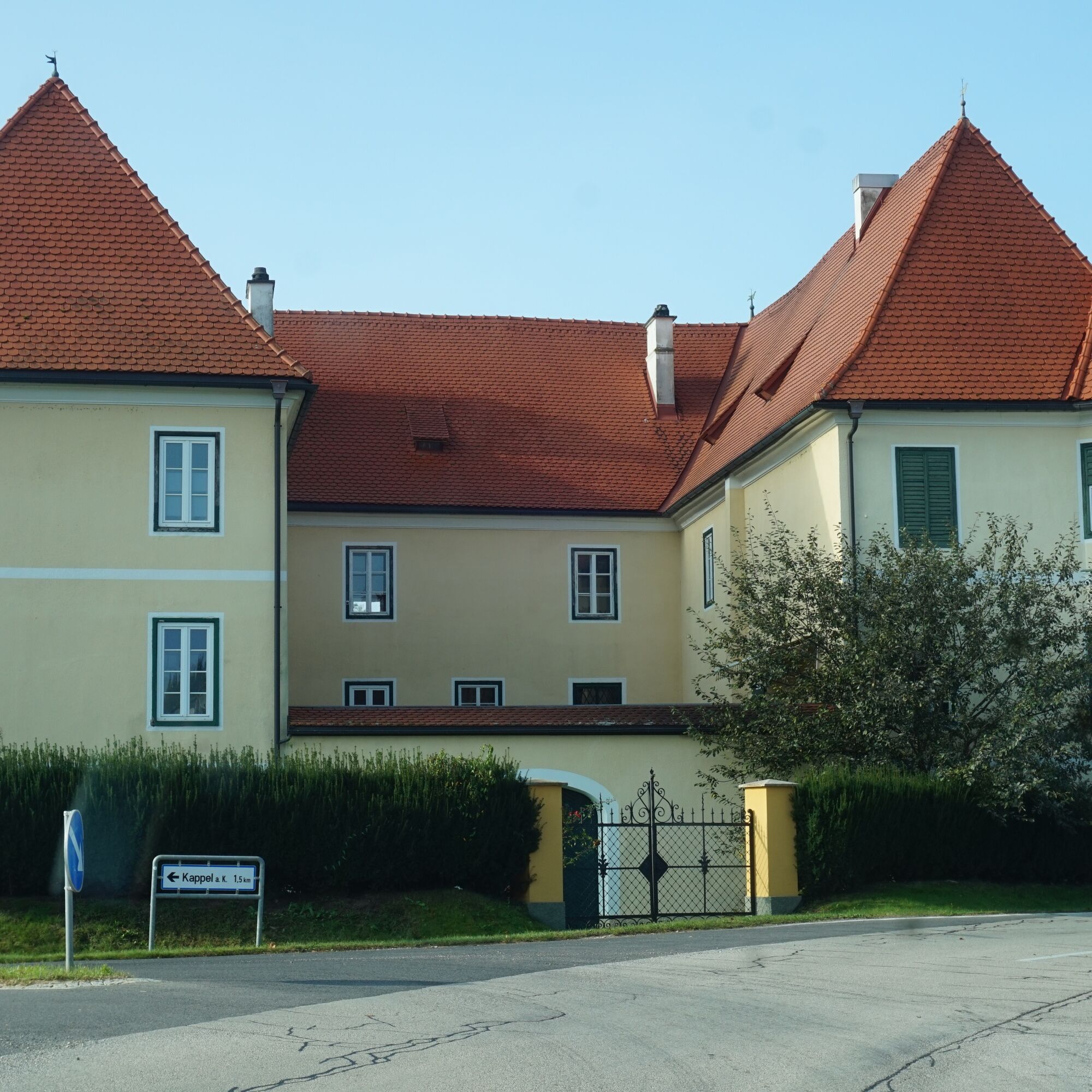
Highlights: This route offers varied terrain. Althofen is known for its old town.
Althofen → Guttaring
Distance: approx. 10-15 km
Elevation profile: Slightly hilly to flat
Highlights: The return journey to Guttaring leads along quiet roads and offers a relaxed ride. The surrounding nature makes for a perfect end to the tour.
comfortable clothing, suitable bike, provisions, sufficient water
pay attention to the weather; tell someone where you are going and when you will be back; loaded cell phone pay attention to local traffic rules and occasional agricultural vehicles on the roads
use your route planner
ÖBB timetable information: https://fahrplan.oebb.at/webapp/#!P|TP!H|704158
Enough parking spaces available
You can find more tours here:
https://regio.outdooractive.com/oar-mittelkaernten/de/
Field of stone lentils
Old town of Friesach
Craigher chocolate
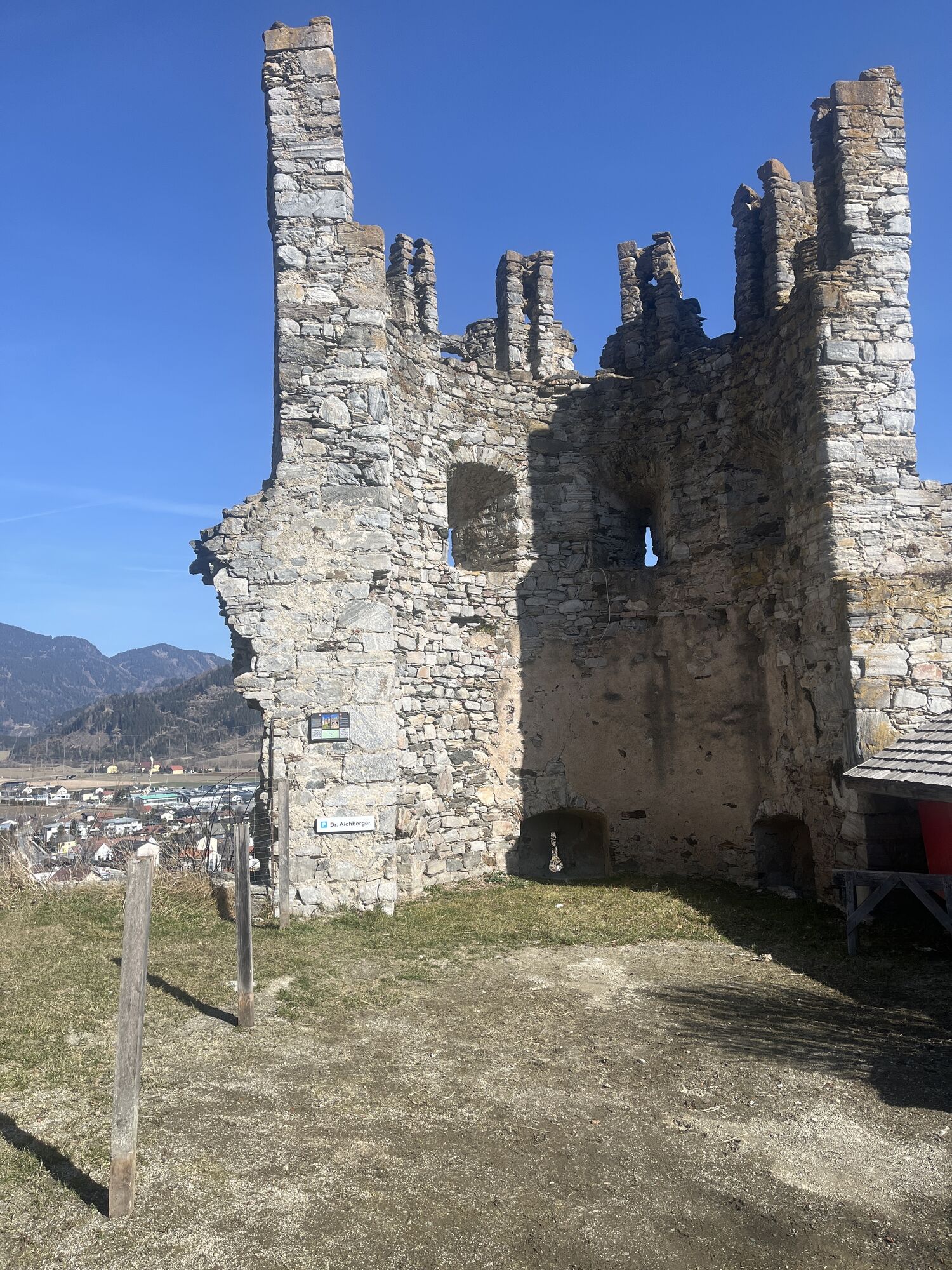
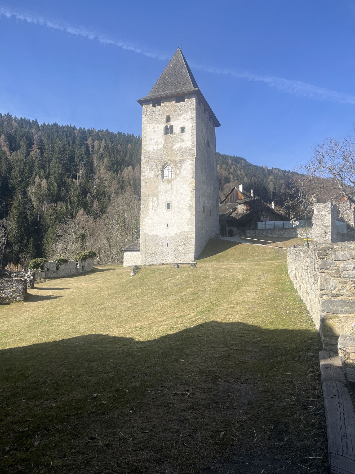
Friesach castle
Old town of Althofen
Auer von Welsbach Museum
The power station
Slow Food establishments
Parcours populaires à proximité
-
4,8
Zirbitzkogel Waldheimhütte - Wildsee - Fuchskogel - Zirbitzkogel, Steiermark/Österreich
moyenRandonnée 15,2 km -
4,1
Zirbitzkogel über Wildsee
difficileRandonnée 14,3 km -
5,0
Große 4-Seenrunde am Zirbitzkogel
moyenRandonnée 18,8 km -
4,7
Graggerschlucht
moyenChemin thématique 3,91 km -
4,6
Lavantaler Alpen: Waldheimhütte - Zirbitzkogel
moyenRandonnée 5,43 km -
4,7
Skitour Zirbitzkogel
moyenSki de randonnée 6,01 km -
4,0
Lavanttaler Alpen: Lavantsee und Zirbitzkogel
facileRandonnée 6,29 km -
4,3
Mariahilferweg
moyenRandonnée 11,2 km -
4,8
Waldheimhütte - Zirbitzkogel - Fuchskogel
moyenRandonnée 16,4 km -
4,0
Kleine Zirbitzkogelrunde
moyenRandonnée 11,0 km
Randonnée et suivi


Ne manquez pas les offres et l'inspiration pour vos prochaines vacances
Votre adresse électronique a été ajouté à la liste de diffusion.