


11Sl Komen - Malchina/Mavhinje


This short route which is perfect for travellers who wish to match a historical approach to the sites of the Great War involving cemeteries and natural caves exploited for war purposes with the ethnographic...
This short route which is perfect for travellers who wish to match a historical approach to the sites of the Great War involving cemeteries and natural caves exploited for war purposes with the ethnographic and natural beauty of the natural environment of the Karst. This route, which is short and easy for all types of walkers thanks to its moderate gradient, is characterised by small hamlets with groups of stone houses built in the Karst style. The pastures surrounded by characteristic dry-stone walls. The typical vegetation, can be enjoyed in spring when wild plums, brooms and forsythia are in bloom, and in autumn when the foliage paints the countryside in shades of gold and deep scarlet.

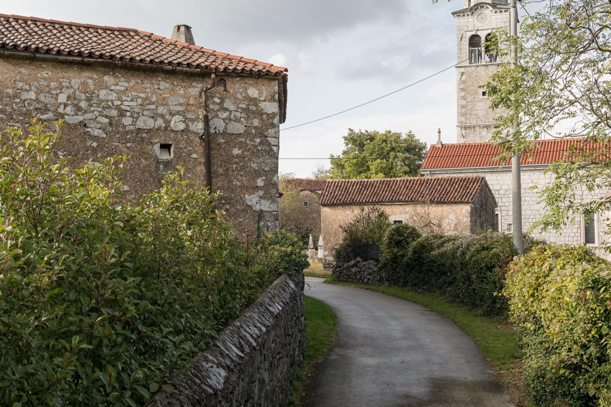
The stage starts in the Municipality of Komen and heads in the direction of Debela griža, where visitors can admire one of the best-preserved prehistoric hillforts in the entire Karst region. The route then continues towards Volčji Grad, Nadrožica to reach Gorjansko, where the largest Austro-Hungarian military cemetery on Slovenian territory is located, the monumental part of which was completed in 1916. From this point, the trail follows the road toward the Italian border, crosses it, and concludes in the village of Malchina/Mavhinje. This marks the southernmost point of the circular route starting from Nova Gorica. From here, hikers can choose to ascend via the parallel Italian stages or continue toward Trieste/Trst.
Oui
The appropriate clothing and shoes for trekking, a packed meal and drinks, a flashlight, and hiking poles.
Bus connections:
Nova Gorica – Štanjel
Štanjel – Komen
Komen – Gorjansko
Connections to and from Malchina:
Route 43 (the Trieste Trasporti public transport service) and then transfer to Route 44 for the city centre of Trieste.
Start point: the town centre of Komen (near the petrol station) or the car park next to the church
End point: Malchina Square, Malchina/Mavhinje
The historical village of Stanjel, which is located at a distance of 9 kilometres from Komen, is also well worth a visit.
In Gorjansko, the Church of St. Andrew features paintings by artist Tone Kralj. Just outside the village lies the Austro-Hungarian cemetery with 6,000 soldiers who fell during the Great War.
Parcours populaires à proximité
-
4,8
Rilkeweg
facileRandonnée 6,19 km -
4,6
Triest-Opicina (Obelisk) nach Prosecco
facileRandonnée 4,28 km -
4,5
Rilkeweg Sistiana, Friuli-Venezia Giulia
facileRandonnée 1,84 km -
4,9
The Vicentina or Napoleonic Way
facileRandonnée 3,79 km -
2,0
Grado - Trieste (C204)
moyenPiste cyclable longue distance 69,3 km -
4,5
Rilke-Weg von Ost nach West
facileRandonnée 2,17 km -
4,5
Rilke Path
facileRandonnée 2,12 km -
Dall’obelisco di Opicina ad Aurisina, lungo il ciglione carsico
Chemin de Grande Randonnée 16,8 km -
5,0
Sistiana - Castello di Duino
Randonnée 4,30 km -
The Doberdò and Pietrarossa Lakes Nature Reserve Loop Trail
moyenRandonnée 11,2 km
Randonnée et suivi


Ne manquez pas les offres et l'inspiration pour vos prochaines vacances
Votre adresse électronique a été ajouté à la liste de diffusion.