
Auf den höchsten Gipfel rund um Krumau - Klet (1.084m) Nordanstieg via Wilson-Holz-Route
facile
Télécharge cette visite sur ton portable
Auf den höchsten Gipfel rund um Krumau - Klet (1.084m) Nordanstieg via Wilson-Holz-Route
facile
Randonnée
8,08
km
Scanner le code QR et commencer la navigation dans l'application bergfex


Randonnée & tracking




Auf den höchsten Gipfel rund um Krumau - Klet (1.084m) Nordanstieg via Wilson-Holz-Route
facile
Distance
8,08
km
Durée
02:02
h
Ascension
513
m
Altitude
577 -
1 082
m

Naviguez dans votre circuit depuis l'application
Téléchargez gratuitement l'application et suivez votre parcours grâce à la navigation GPS et au suivi.
Profitez dès maintenant d'bergfex, dans l'application
Scannez le code QR avec votre appareil photo
Une fois l'application installée, le contenu s'ouvre directement. Si vous ne disposez pas encore de l'application, vous serez redirigé vers la page de téléchargement gratuit.
Téléchargement de la piste
Auf den höchsten Gipfel rund um Krumau - Klet (1.084m) Nordanstieg via Wilson-Holz-Route
facile
Randonnée
8,08
km
Parcours
Krasetín
(554 m)
Village
0,0 km
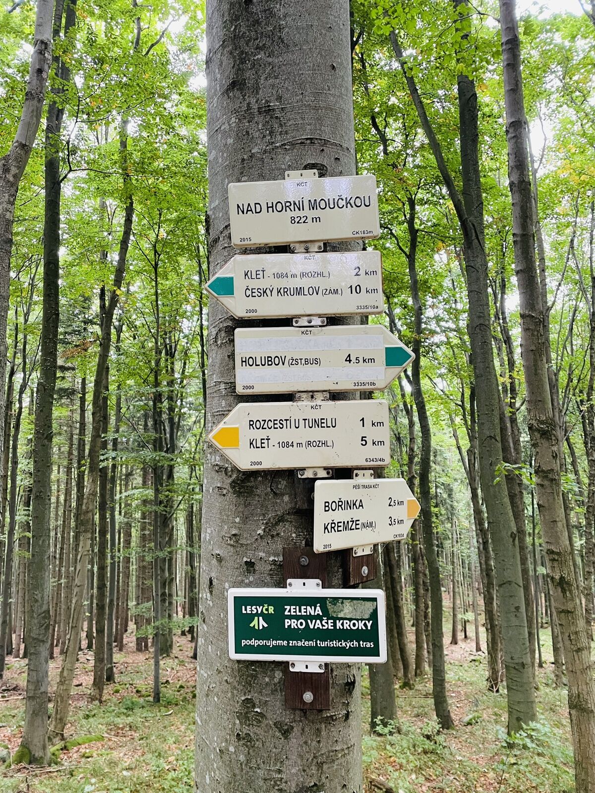
Horní Moučka
(728 m)
Couloir/terrain
1,7 km
Horská chata Kleť
(1 084 m)
Restaurant
4,6 km
Kleť
(1 083 m)
Sommet
4,6 km
Krasetín
(554 m)
Village
8,0 km
Parcours
Auf den höchsten Gipfel rund um Krumau - Klet (1.084m) Nordanstieg via Wilson-Holz-Route
facile
Randonnée
8,08
km
Krasetín
(554 m)
Village
0,0 km
Rovný
(647 m)
Couloir/terrain
0,5 km
Horní Moučka
(728 m)
Couloir/terrain
1,7 km
Nad javorem
(877 m)
Couloir/terrain
2,9 km
Horní stanice lanovky
(1 082 m)
Station de télécabines
4,5 km
Horská chata Kleť
(1 084 m)
Restaurant
4,6 km
Kleť rozhledna
(1 085 m)
Point de vue
4,6 km
Kleť
(1 083 m)
Sommet
4,6 km
Vyhlídka
(674 m)
Couloir/terrain
7,0 km
Krasetín
(554 m)
Village
8,0 km




Évaluations
1 Commentaire

Marina Ivanova

11. mai. 2024
Alternative tour to Klet and back from parking lot of the Klet cable car
We started the tour not as shown in Krasetin because there are close to none sensible parking option there. Instead we drove to the paid parking lot for the cable car to Klet and thus did the route in the opposite direction which turned out much more enjoyable. Also we cut back one short section on the way back to the car - otherwise we would have had to do a big walk around Krasetin which is not really worth it. At the top there is a hut/restaurant with a fairly good offering.
All in all a recommendable route for a short hiking tour in this area with a couple of nice views.

Parcours populaires à proximité
-
4,7
Moldau 2 - Von Rozmberk über Cesky Krumlov nach Zlata Kouruni
facileKayak / Canoë 38,5 km -
4,0
Wilson Holz Route auf den Klet (1.082m) - der Krumauer Hausberg
facileRandonnée 8,69 km -
5,0
Kleť z Vyšného
moyenTrail running 4,31 km -
5,0
Moldau 3 - Zlata Kouruna bis Cesky Bujedovice
facileKayak / Canoë 29,1 km -
Krizova Hora Aussichtsrunde by Wilson Holz
facileRandonnée 5,12 km -
Klet (1.084m) by Wilson Holz
facileRandonnée 11,8 km -
Český Krumlov, Česká republika
moyenTrail running 5,58 km -
Český Krumlov (Vyšný Pod Hájí) - Kleť
moyenTrail running 5,46 km -
Krumau - Klet' - Dörfer, Weiher, Bäche
Vélo gravel 50,0 km -
5,0
Vnitřní Město - Panny Marie Bolestné - svatý Jakub Větší - svatý Vít
moyenFaire du vélo 66,8 km
Randonnée et suivi

Plus de 550.000 propositions de circuits, des cartes détaillées et un planificateur d'itinéraire intuitif font de cette application un must pour tous les passionnés de nature.

Ne manquez pas les offres et l'inspiration pour vos prochaines vacances
S'inscrire à la newsletter
Erreur
Une erreur s'est produite. Veuillez réessayer.
Merci pour votre inscription
Votre adresse électronique a été ajouté à la liste de diffusion.
Parcours en Europe
Autriche
Suisse
Allemagne
Italie
Slovénie
France
Pays-Bas
Belgique
Pologne
Liechtenstein
République tchèque
Slovaquie
Espagne
Croatie
Bosnie-Herzégovine
Luxembourg
Andorre
Portugal
Islande
Royaume-Uni
Irlande
Grèce
Albanie
Macédoine du Nord
Malte
Norvège
Monténégro
Moldavie
Kosovo
Hongrie
Saint-Marin
Roumanie
Estonie
Lettonie
Bélarus
Chypre
Lituanie
Serbie
Bulgarie
Monaco
Danemark
Suède
Finlande





