






Walking tour through the Alpine City
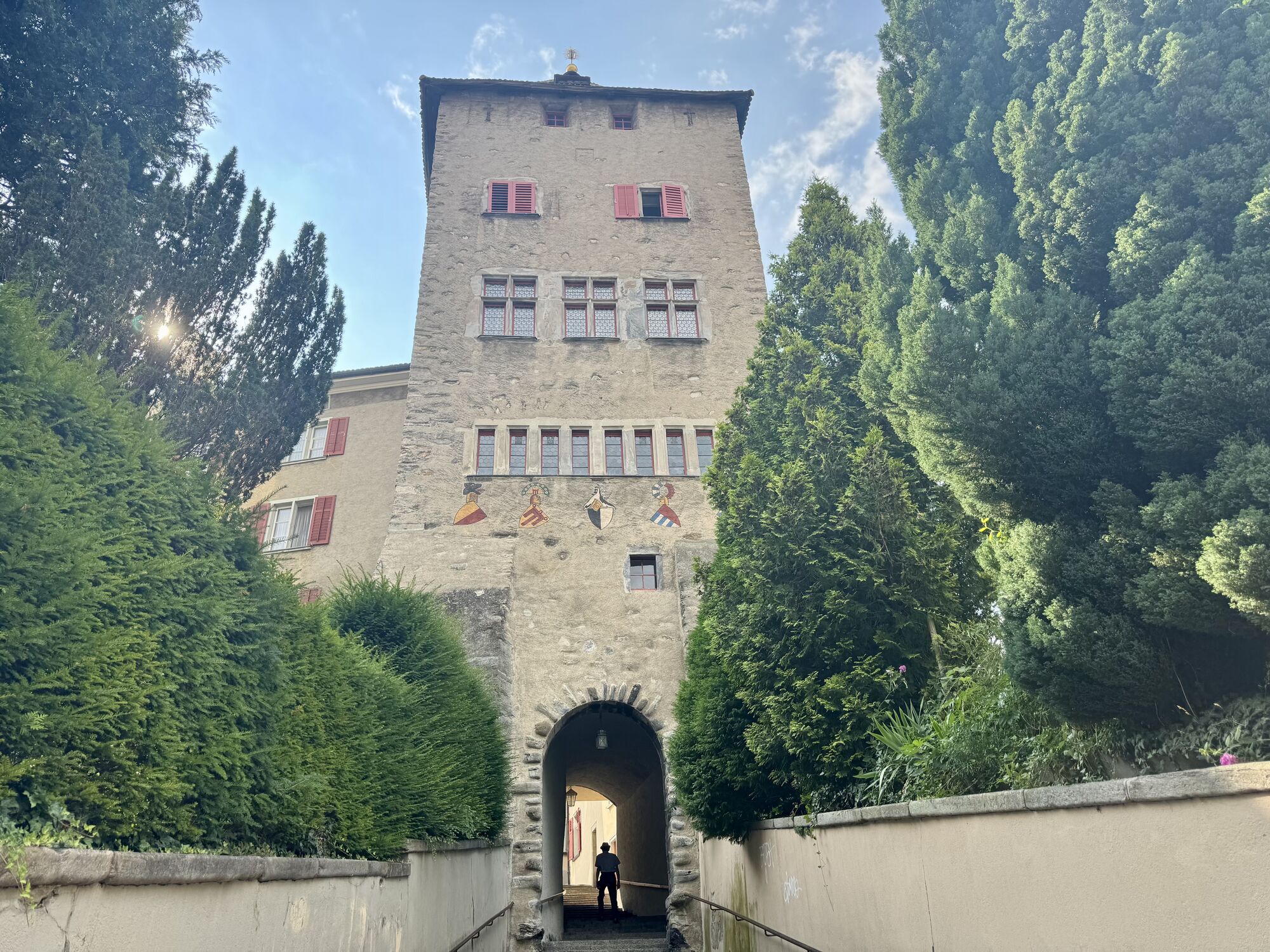
The City E-Guide by Chur Tourism is the individual city tour for your mobile phone or tablet. With the free app, you can explore the city on your own. All kinds of interesting facts about history, culture,...
The City E-Guide by Chur Tourism is the individual city tour for your mobile phone or tablet. With the free app, you can explore the city on your own. All kinds of interesting facts about history, culture, sights and much more are available in the app at any time. You can choose from various tours of different lengths, which can be adapted to your starting point thanks to GPS positioning.
In 43 chapters you will learn many interesting facts about the history and culture of the Alpine City of Chur and the holiday canton of Graubünden. A further 32 chapters deal with the Cathedral Treasure Museum of the Diocese of Chur - you will learn many interesting facts about the history of the diocese, about the cathedral treasure of Chur and the Death Pictures from the Episcopal Castle.
At the Tourist Info at Chur mainstation, you have also the possibility to rent a tablet with the City E-Guide on it. Thanks to the larger screen, tablets are ideal for experiencing the tours together with one device.

The tour begins directly at the Chur railway station.
Parcours populaires à proximité
-
4,6
Parcours circulaire du Pizalun
facileRandonnée 7,18 km -
4,8
Randonnée en montagne jusqu'aux marmites de géant de l'alpage Mora : Bargis-Trin
difficileRandonnée 18 km -
4,5
Drachenloch
difficileRandonnée 9,72 km -
Arosa-Schwellisee-Älplisee-Parpaner Rothorn
Randonnée 12,3 km -
4,7
Arosa-Hörnli-Parpaner Rothorn-Lenzerheide
Randonnée 11,9 km -
5,0
Arosa-Hörnli-Urdenfürrgli-Alp Scharmoin-Lenzerheide
moyenRandonnée 15,3 km -
3,0
De Vättis au village walser de St. Martin
moyenRandonnée 8,03 km -
5,0
Sentier des écureuils Arosa
facileChemin thématique 1,72 km -
5,0
Spig - Pizalun
moyenRandonnée 12,0 km -
Haldensteiner Calanda
difficileRandonnée 16,9 km
Randonnée et suivi


Ne manquez pas les offres et l'inspiration pour vos prochaines vacances
Votre adresse électronique a été ajouté à la liste de diffusion.





