







Dreibündenstein - Fulhorn
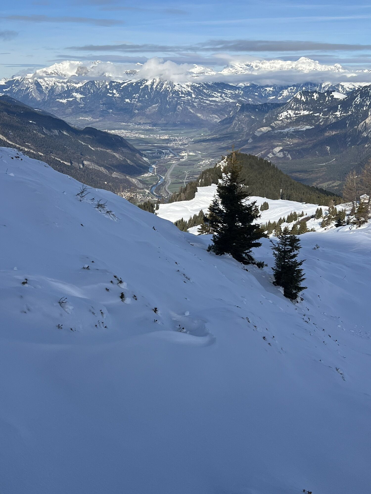
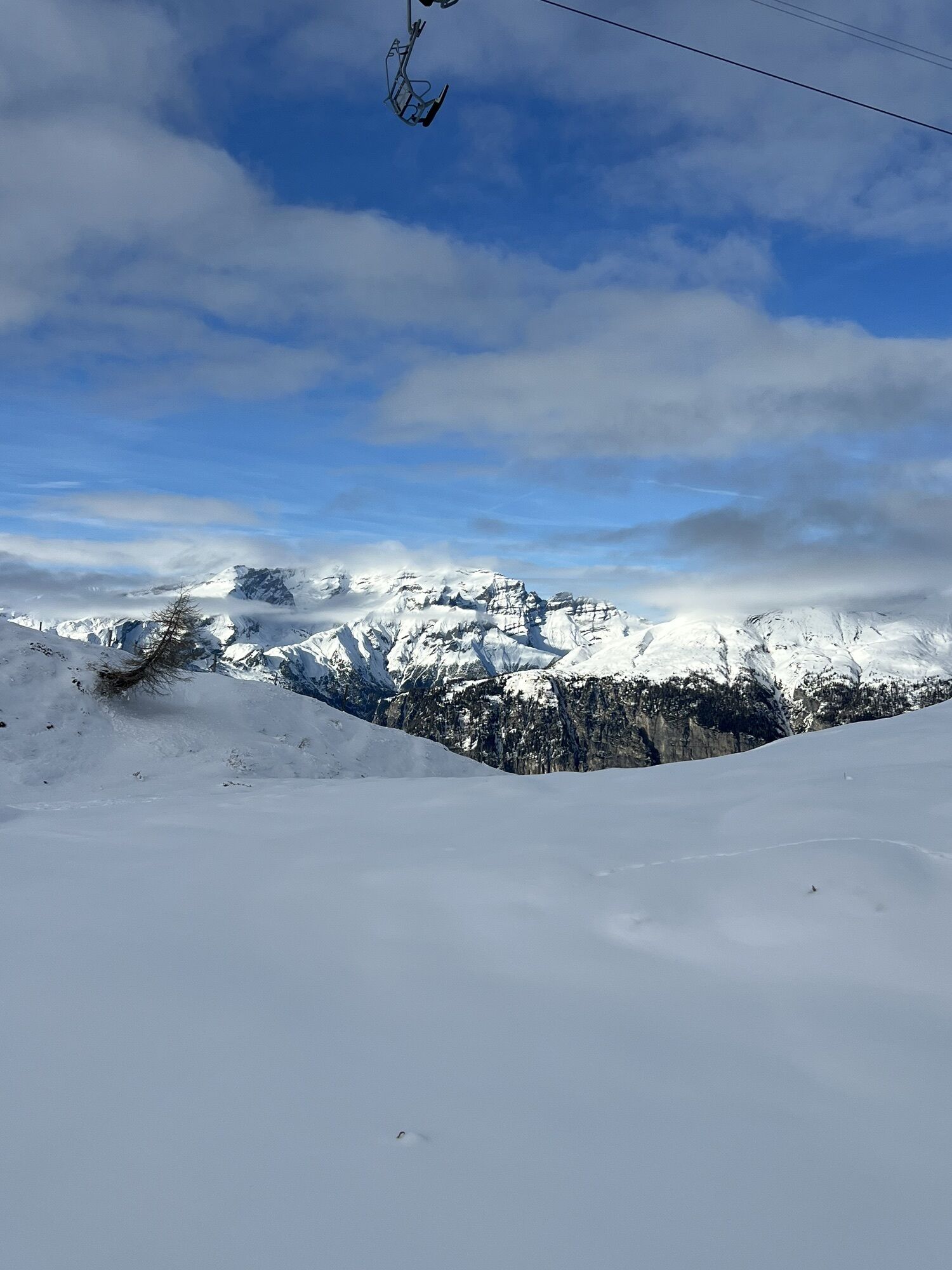
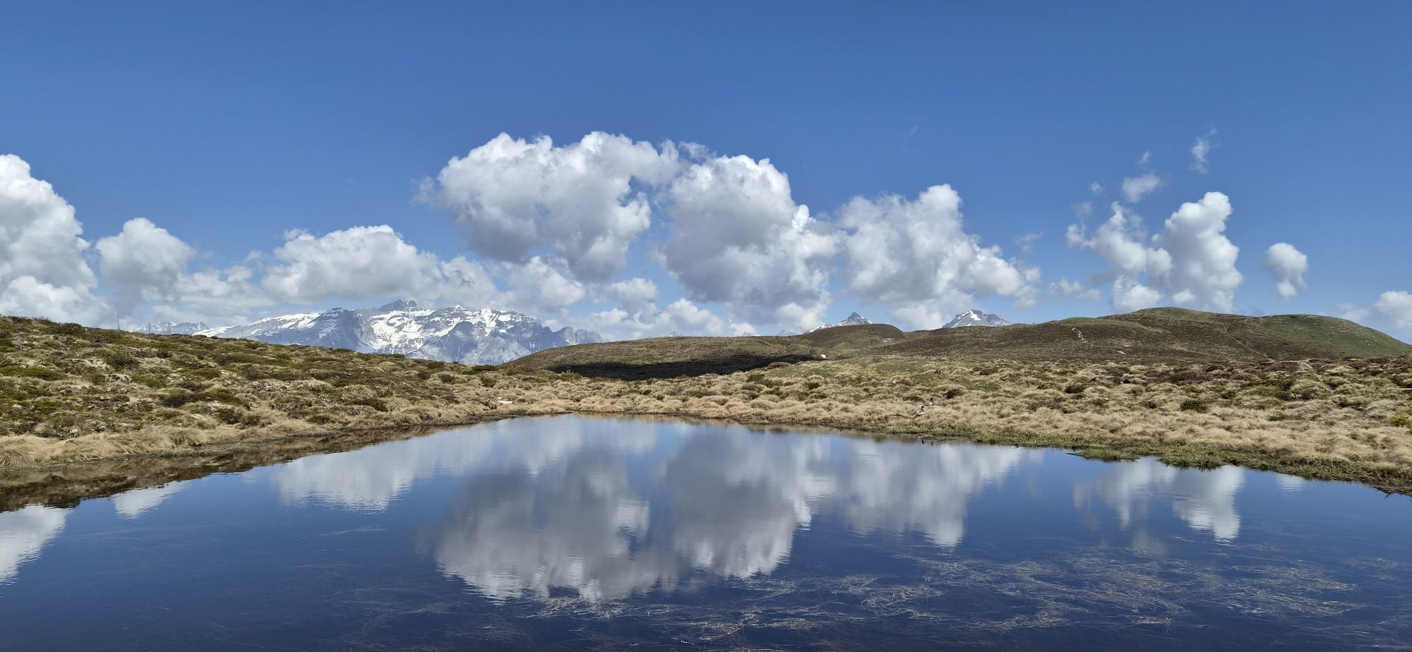
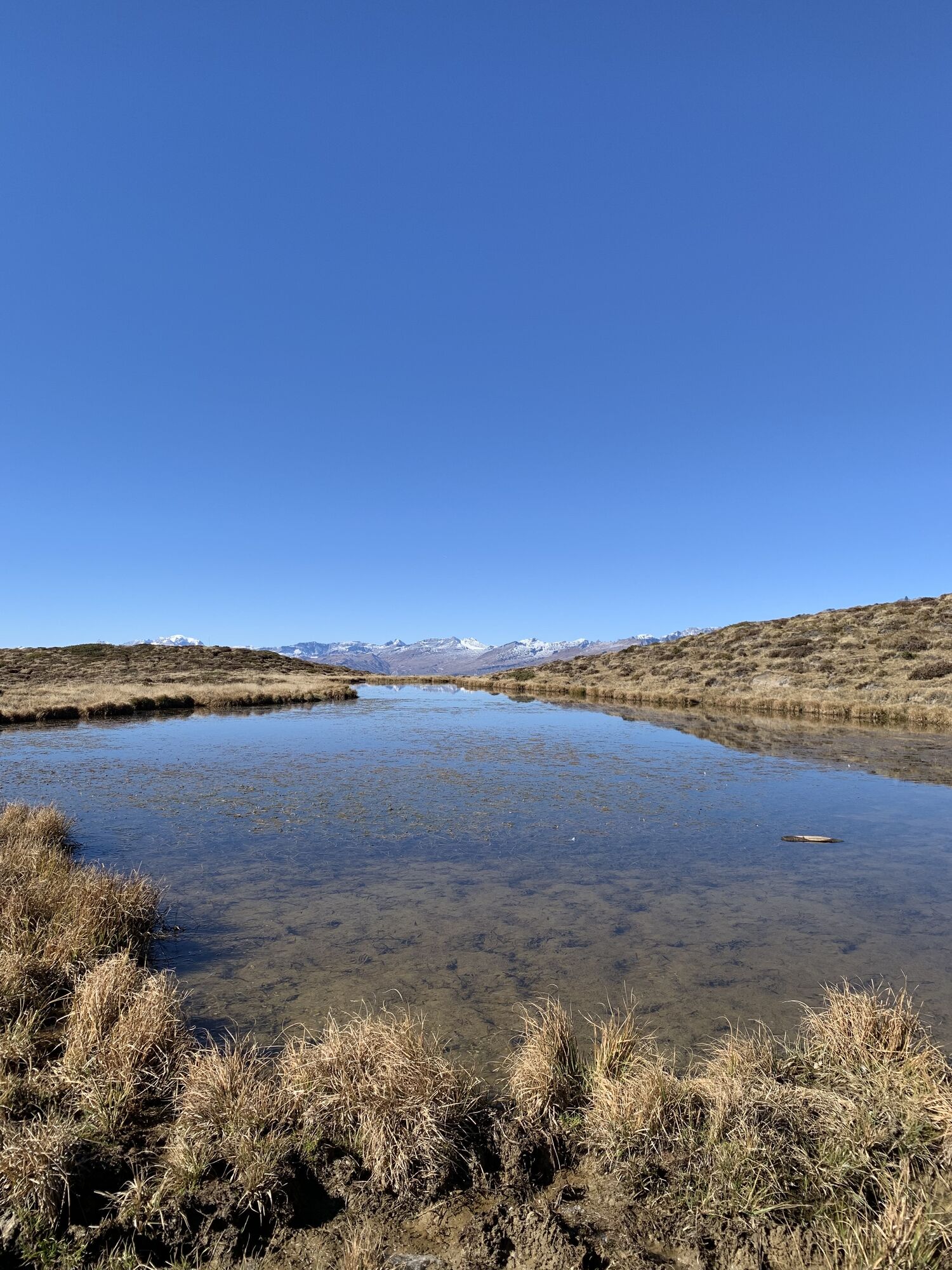
Rewarding ski tour, beginning at the top gondola station in Brambrüesch. Ascent through the forest at first, later on close to the ski slopes up to Furggabüel and the Dreibündenstein high plateau, which...
Rewarding ski tour, beginning at the top gondola station in Brambrüesch. Ascent through the forest at first, later on close to the ski slopes up to Furggabüel and the Dreibündenstein high plateau, which is being crossed on the tour (possible to ski down without skins). At appr. 2100m the ascent to the Fulhorn begins. Take care along the ascent since there are steep parts and snow drifts.
Descents are possible to Alp dil Plaun, the ski hut Term Bel and (if enough snow) as far as Domat/Ems in the valley (otherwise at Alp dil Plaun left/southwards to Scheid). The descent through the steep north side in direction of Pradaschier / Churwalden is only for experienced ski tourers and with safe snow conditions. If you would like to descent to Churwalden, you can alternatively use the slopes in the ski area, as well. All ascents and descents are at your own risk.

Autobahn-Ausfahrt Chur Süd
Stadteinwärts fahren (Kasernenstrasse)
Talstation und Parkplatz liegen vor dem Stadtzentrum auf der rechten Seite
Mit dem Zug bis zum Bahnhof Chur. Von dort fährt der Stadtbus (Linie 1) in 3 Minuten bis zur Talstation der Bergbahnen (Haltestelle Stadthalle/Brambrüeschbahn).
Gäste der Chur Bergbahnen parkieren auf dem Stadthallen-Parkplatz bei der Talsation gratis. Hierfür muss die Kontrollschild-Nummer bei der Kassa zwingend angeben werden!
Obtenez un aperçu
Toujours en direct avec plus de 9.500 webcams. En tant qu'utilisateur Pro, vous pouvez désormais voir les webcams correspondantes à de nombreuses randonnées dans l'application de randonnées de bergfex. Vous pouvez ainsi voir directement les conditions actuelles.
Parcours populaires à proximité
-
4,4
Randonnée des 4 lacs : Caumasee - Crestasee - gorge Felsbach
moyenRandonnée 12,8 km -
4,8
Randonnée dans la gorge du Rhin : Senda Ruinaulta (659)
facileRandonnée 9,39 km -
4,8
Randonnée en montagne jusqu'aux marmites de géant de l'alpage Mora : Bargis-Trin
difficileRandonnée 18 km -
5,0
Caumasee tour: Flims - Caumasee - Conn - Flims
facileRandonnée 7,94 km -
4,5
749 Sentier du pont suspendu Val Meltger
moyenRandonnée 8,30 km -
5,0
Randonnée circulaire gorge du Rhin
moyenRandonnée 11,4 km -
5,0
Randonnée circulaire : lac de Cauma - gorge du Rhin "Swiss Grand Canyon"
moyenRandonnée 19,8 km -
Arosa-Schwellisee-Älplisee-Parpaner Rothorn
Randonnée 12,3 km -
4,5
Drachenloch
difficileRandonnée 9,72 km -
4,7
Arosa-Hörnli-Parpaner Rothorn-Lenzerheide
Randonnée 11,9 km
Randonnée et suivi


Ne manquez pas les offres et l'inspiration pour vos prochaines vacances
Votre adresse électronique a été ajouté à la liste de diffusion.





