







Easy Trapper
The name already makes it clear: This snowshoe tour on the panoramic high plateau between Weisshorn, Prätsch and Litzirüti is not strict - and therefore the ideal introduction to the nature experience...
The name already makes it clear: This snowshoe tour on the panoramic high plateau between Weisshorn, Prätsch and Litzirüti is not strict - and therefore the ideal introduction to the nature experience of snowshoe hiking. In summer it is one of the highest 18-hole golf courses in Europe. Despite its cosiness, the alpine mountain panorama is a must: As you trudge over treeless sections and through light fir woods, the view of the Arosa mountain world becomes clear again and again. Tjejer Fluh, Hauptij, Brüggerhorn, Weisshorn, Hörnli, Erzhorn, Schafrügg or the highest peak of the Plessur Alps, the Aroser Rothorn, can be seen from here. The area, which is roamed on quiet soles, can be described as one of the most beautiful viewing platforms in Arosa. The trail can be reached comfortably with the free local bus.

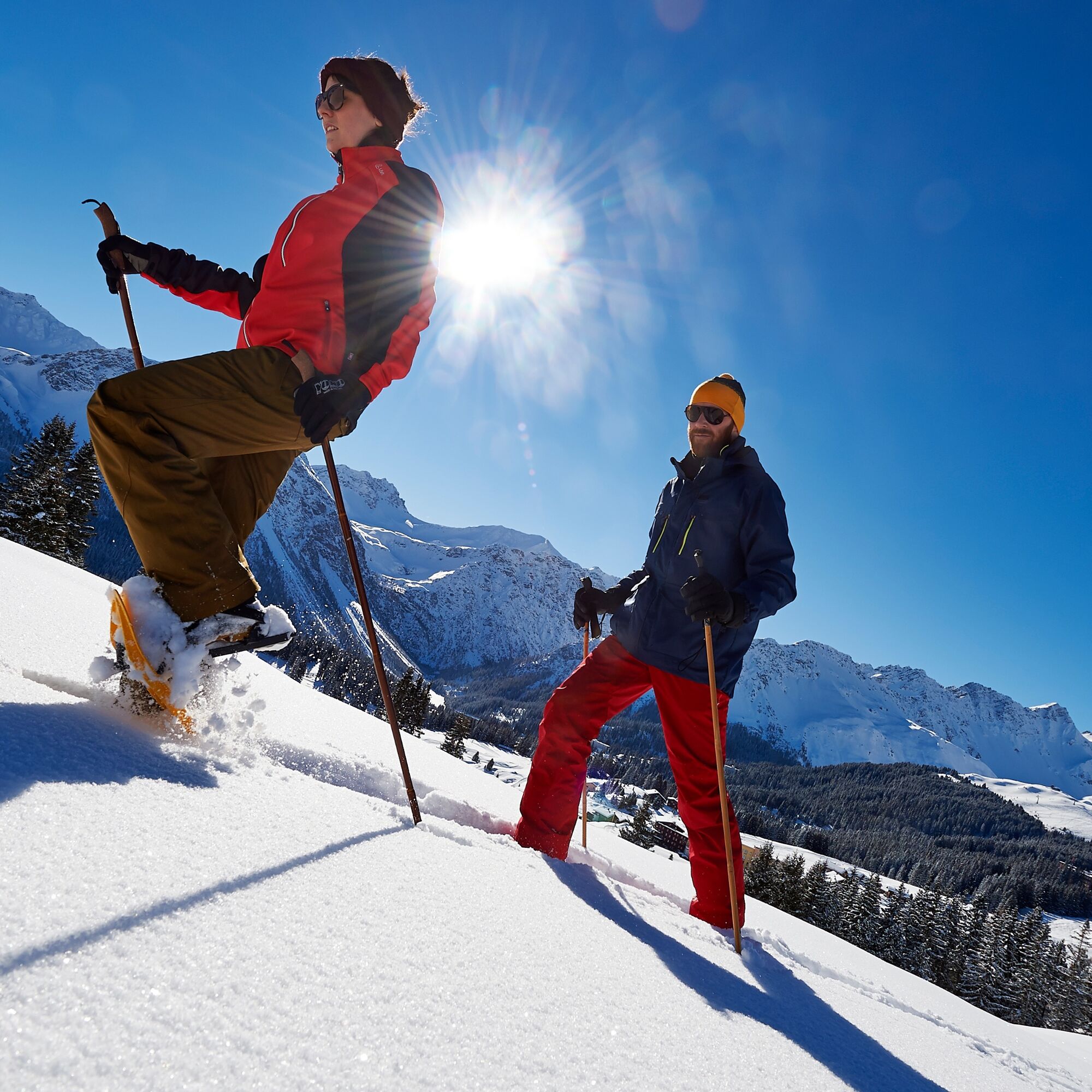
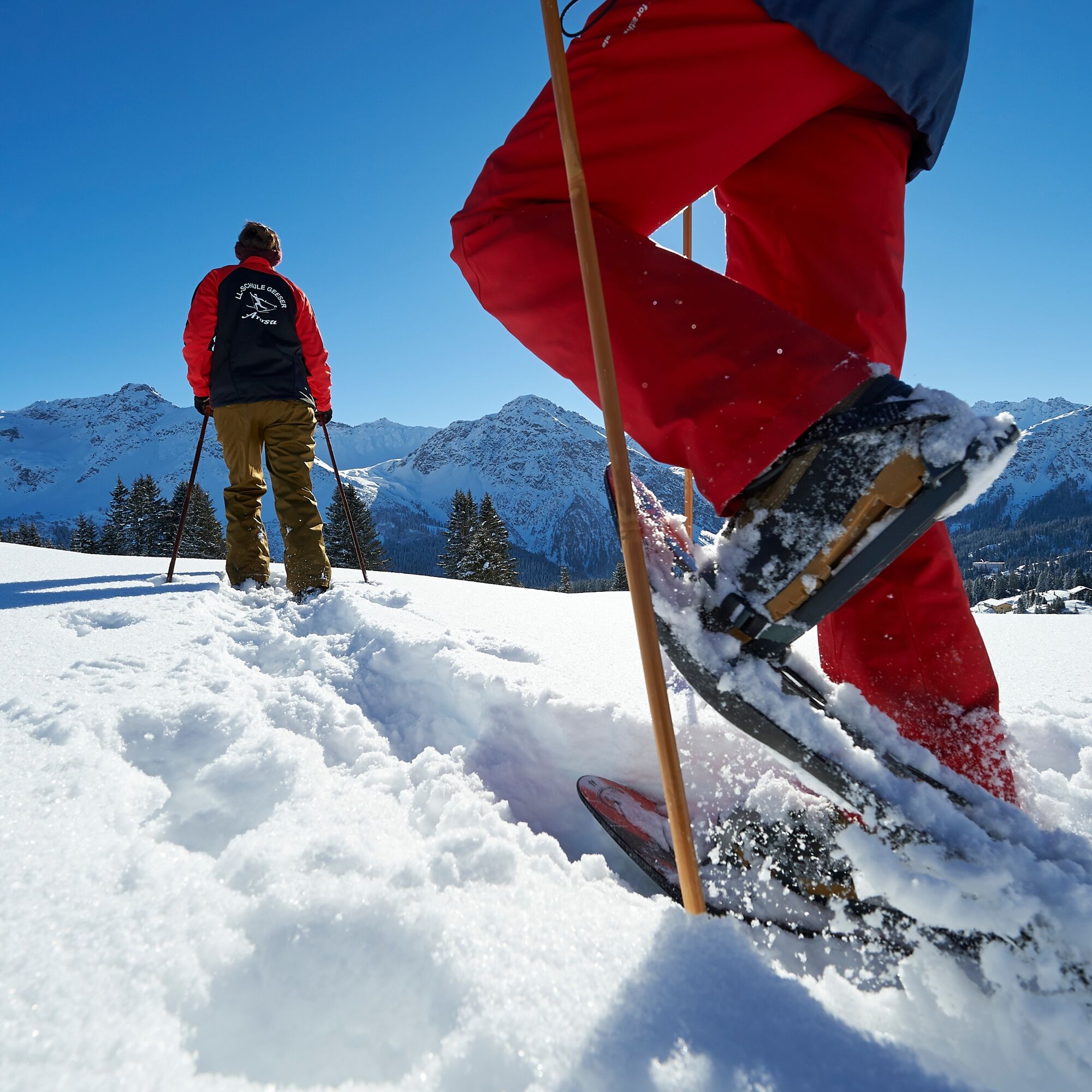
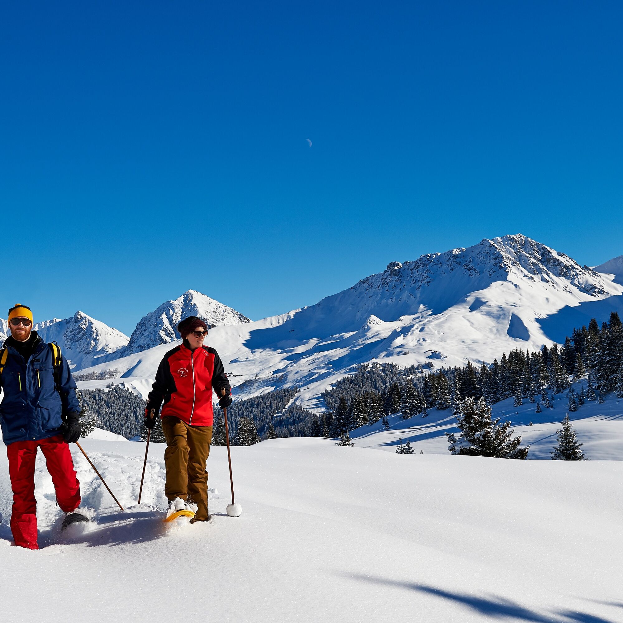
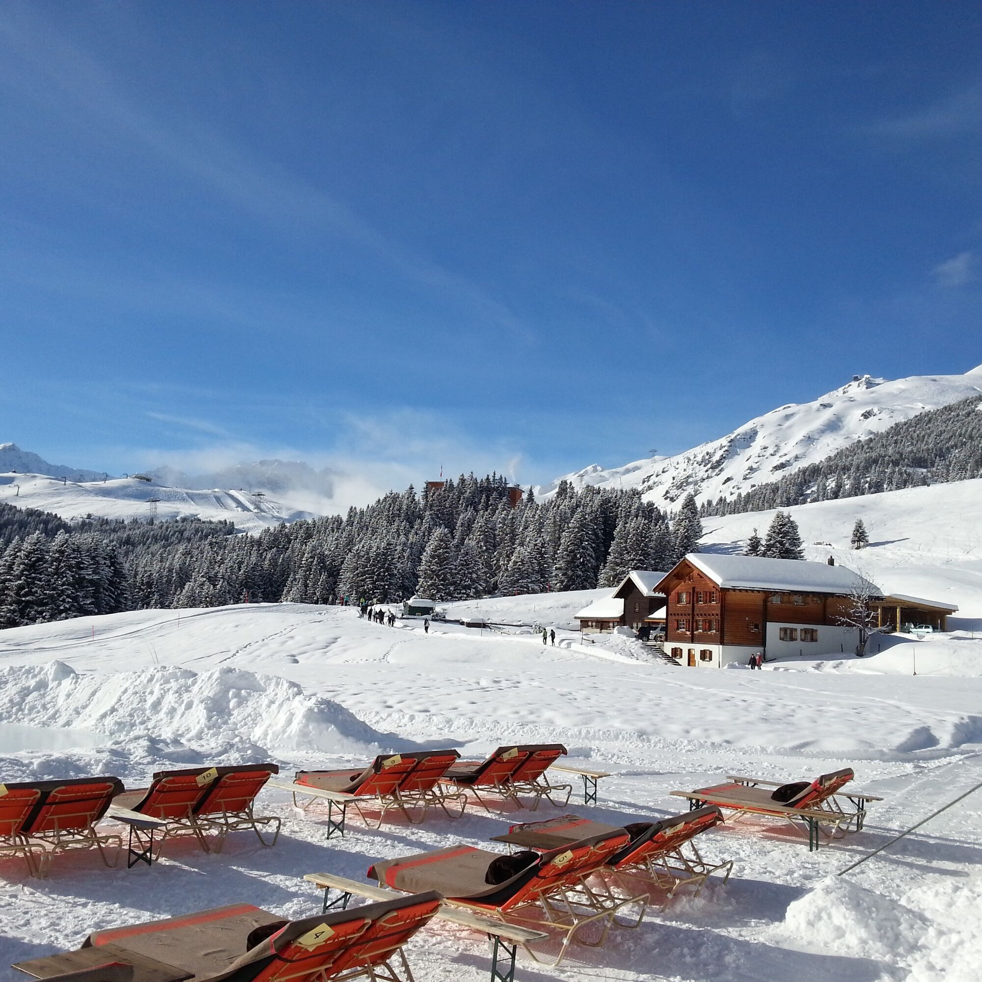

The tour leads in a circle all the way around the cross-country tracks.
Euqipment rental
Carmenna Sport T +41 81 377 12 05Sprecher Sport T +41 81 377 12 07
Cross-Country and Snowshoe Centre Geeser T +41 81 377 22 15
Schmid Sport AG T +41 81 377 25 95
A snowshoe tour leads into insecure terrain. Tours are not signposted or prepared. The Arosa Tourism Office cannot be held liable. Please inform yourself about the current snow and avalanche condition before every tour.
We recommend conducting the first tours with a guide.
Once you arrive in Chur, follow the sign posts Arosa. At the village entrance, opposite the petrol station, turn right towards the golf course.
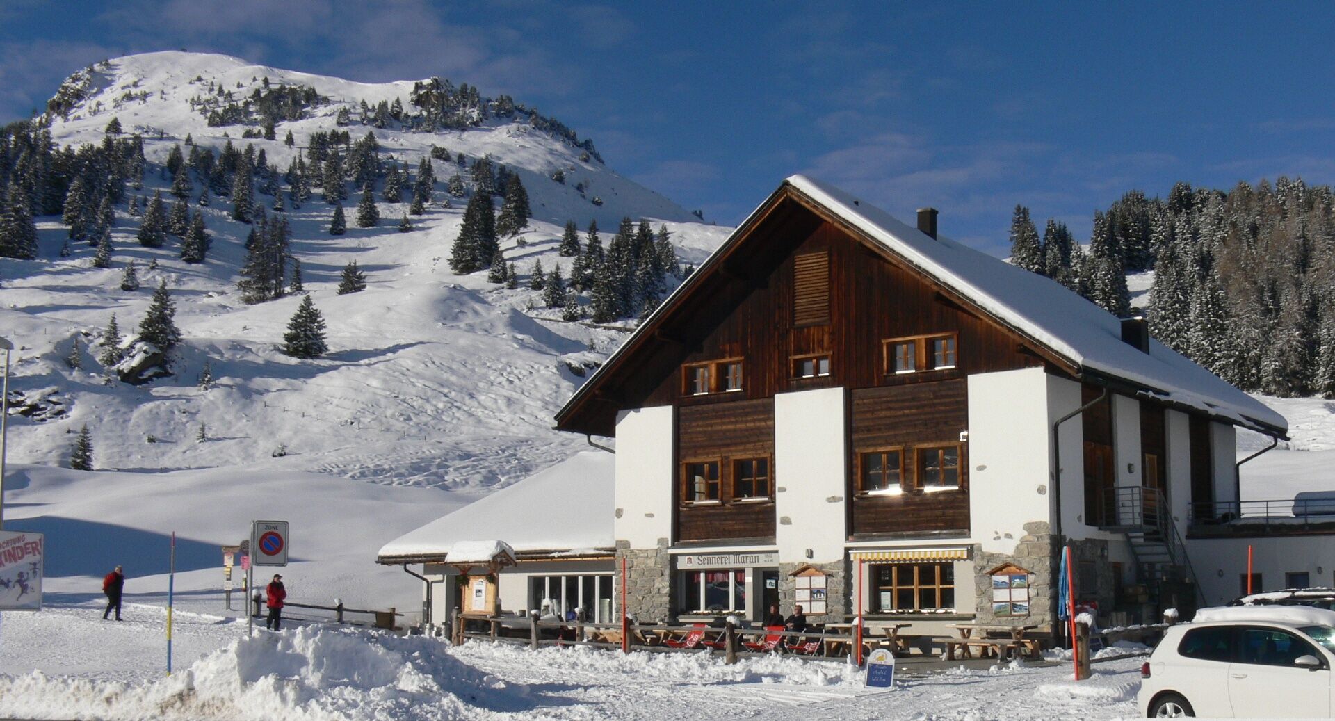
The Rhaetian Railway leaves Chur to Arosa and back at hourly intervals. From the train station Arosa take the local bus to Prätschli and get off at the bus stop "Maran".
Parking spaces at Maran are limited. It is highly recommended to park at the Ochsenbühl car park and to take the local bus to Maran.
Guides
Cross-Country and Snowshoe Centre Geeser
geeser-arosa.ch
T +41 81 377 22 15 / M +41 79 445 53 13
Swiss Ski and Snowboard School
sssa.ch
T +41 81 378 75 00
Our moonlight snowshoe hike is very popular. Explore the stars without disturbing artificial light.
Obtenez un aperçu Toujours en direct avec plus de 9.500 webcams. En tant qu'utilisateur Pro, vous pouvez désormais voir les webcams correspondantes à de nombreuses randonnées dans l'application de randonnées de bergfex. Vous pouvez ainsi voir directement les conditions actuelles.Parcours populaires à proximité
- 3,9
Arosa-Medergen-Tritt-Latschüelfurgga-Strelapass-Davos
moyenRandonnée 22,5 km - 4,5
749 Sentier du pont suspendu Val Meltger
moyenRandonnée 8,30 km Arosa-Schwellisee-Älplisee-Parpaner Rothorn
Randonnée 12,3 km- 3,5
Arosa-Maienfelder Furgga-Stafelalp-Davos
moyenRandonnée 15,9 km - 4,7
Arosa-Hörnli-Parpaner Rothorn-Lenzerheide
Randonnée 11,9 km - 5,0
Arosa-Hörnli-Urdenfürrgli-Alp Scharmoin-Lenzerheide
moyenRandonnée 15,3 km - 5,0
Sentier des écureuils Arosa
facileChemin thématique 1,72 km Alp Sanaspans - Rothorn
difficileRandonnée 13,6 km- 5,0
Randonnée des 4 viaducs
moyenRandonnée 13,6 km - 5,0
Arosa-Erzhornsattel-Arosa
Randonnée 14,9 km
Randonnée et suivi


Ne manquez pas les offres et l'inspiration pour vos prochaines vacances
Votre adresse électronique a été ajouté à la liste de diffusion.





