







Snowshoe tour Um Su, Lumnezia
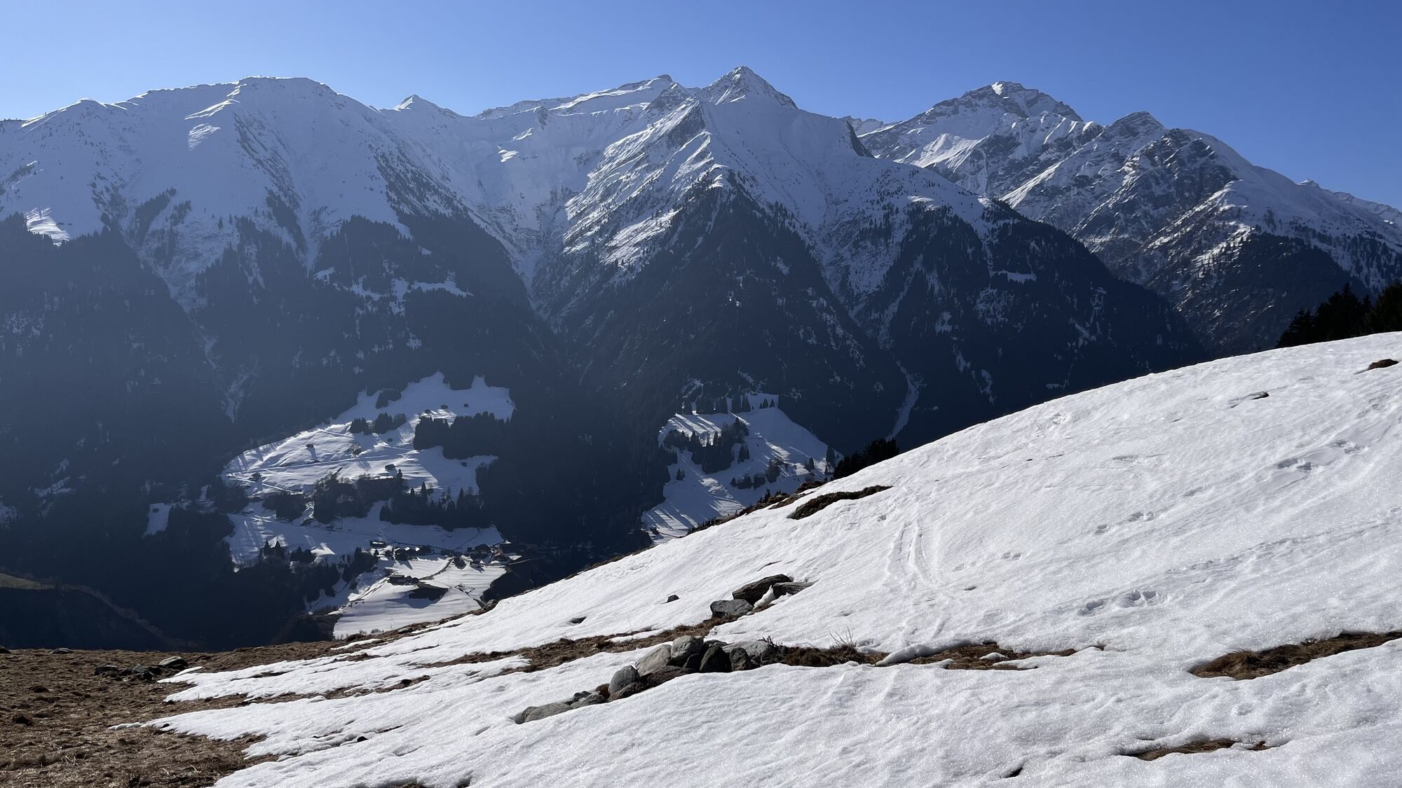
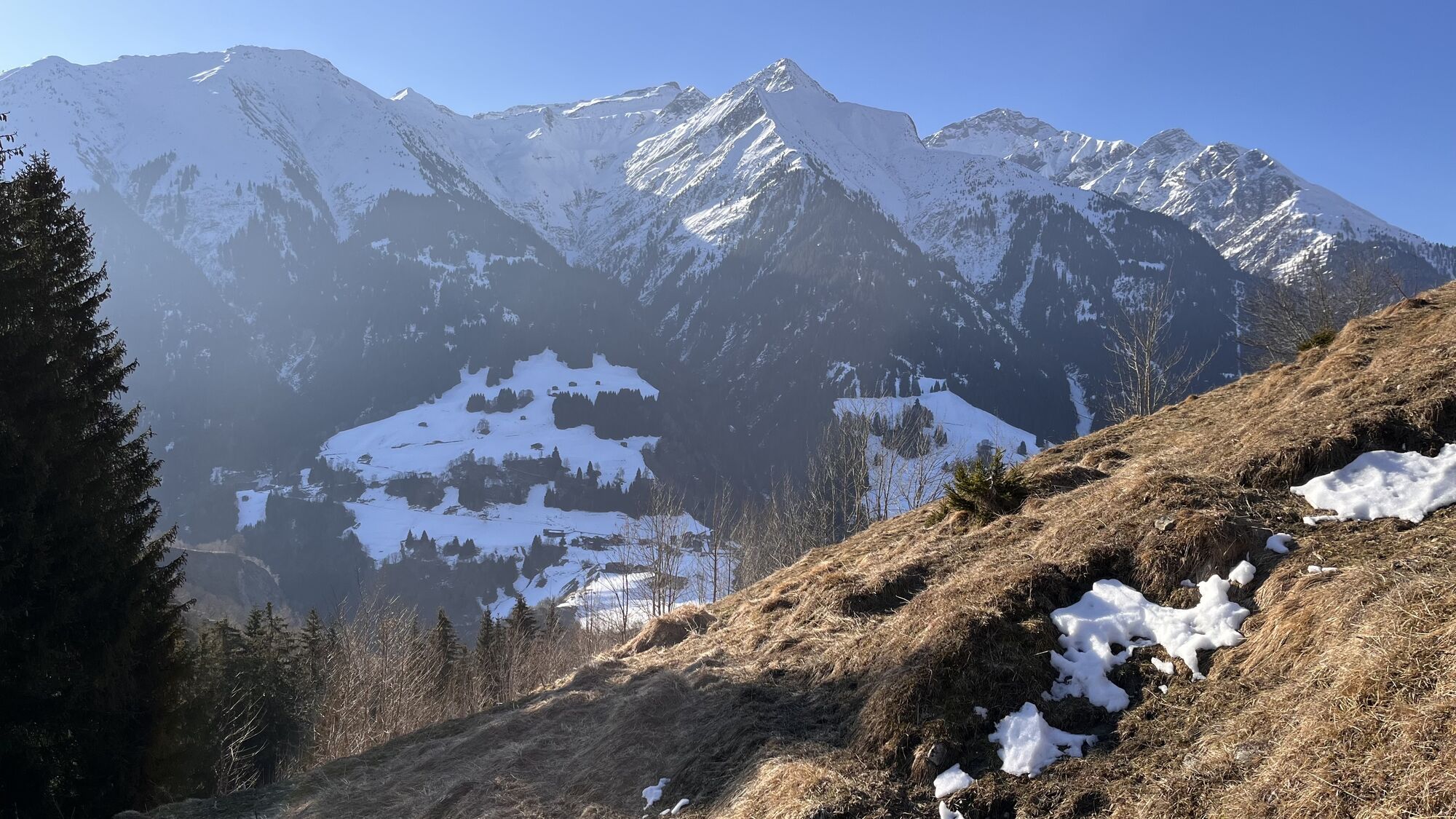
Lumbrein is a historic mountain village situated on a rocky plateau at 1390 m above sea level. It is the starting point for the popular snowshoe tour to Um Su.
The tour starts one bend in the road below...
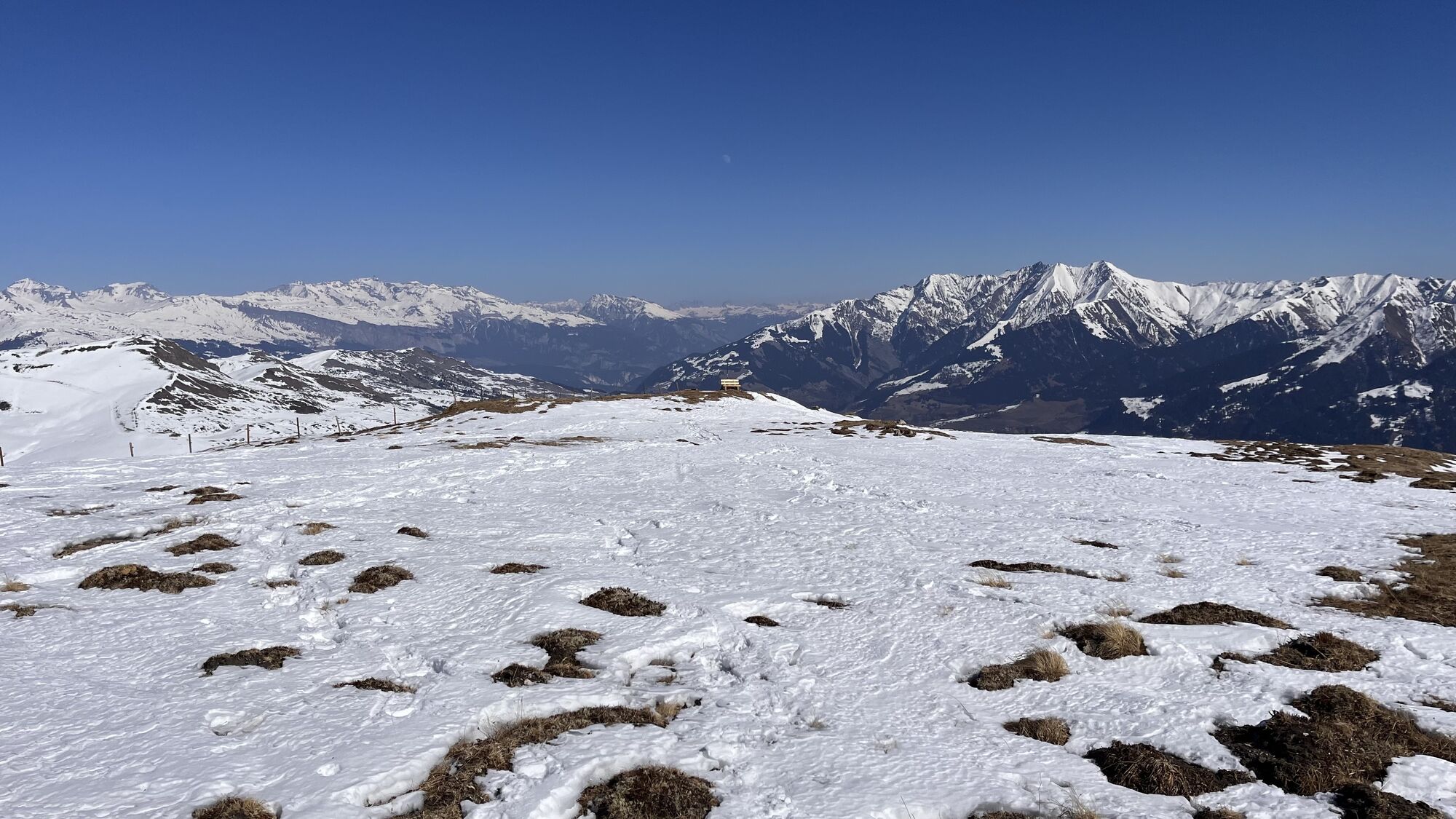
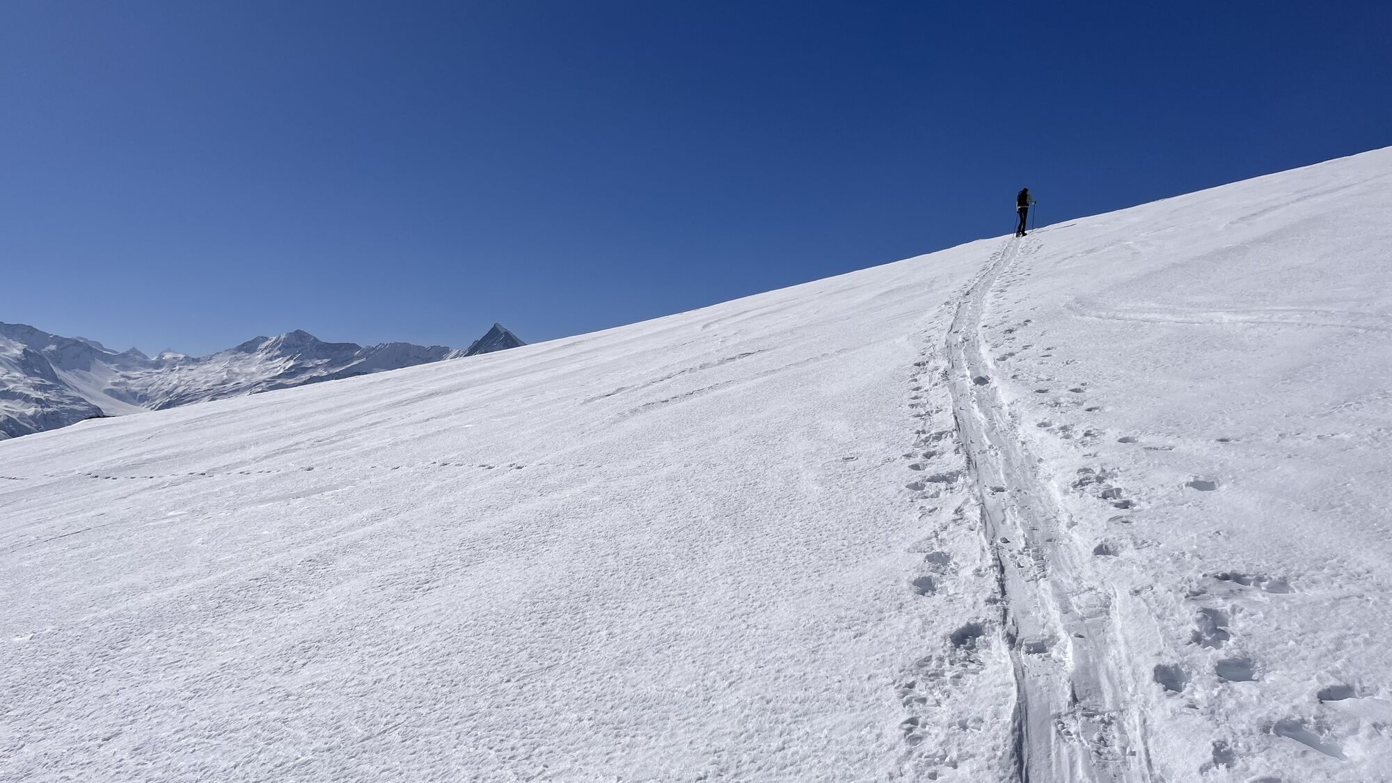
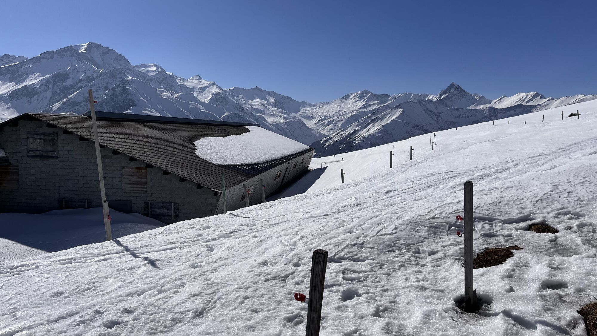
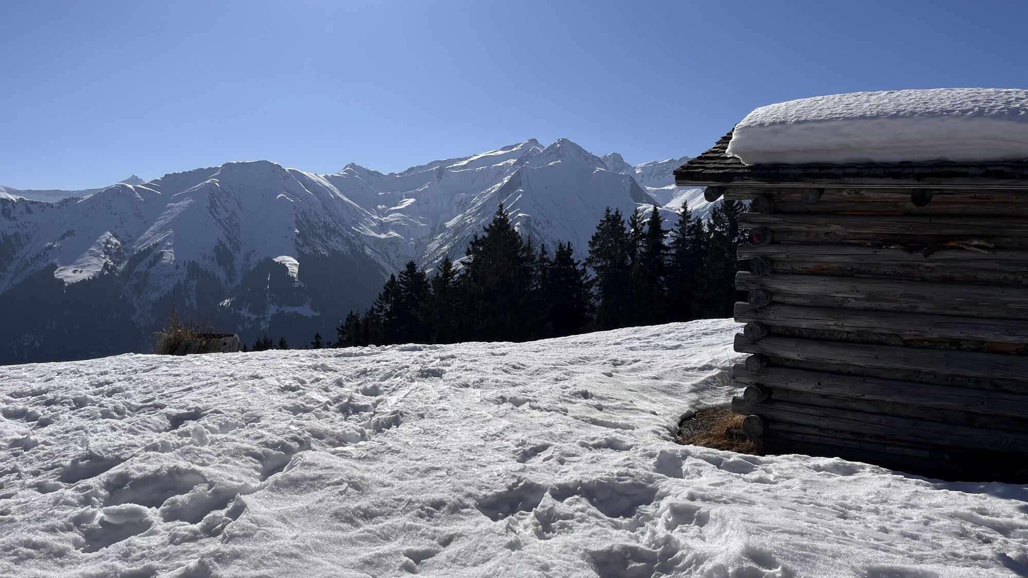
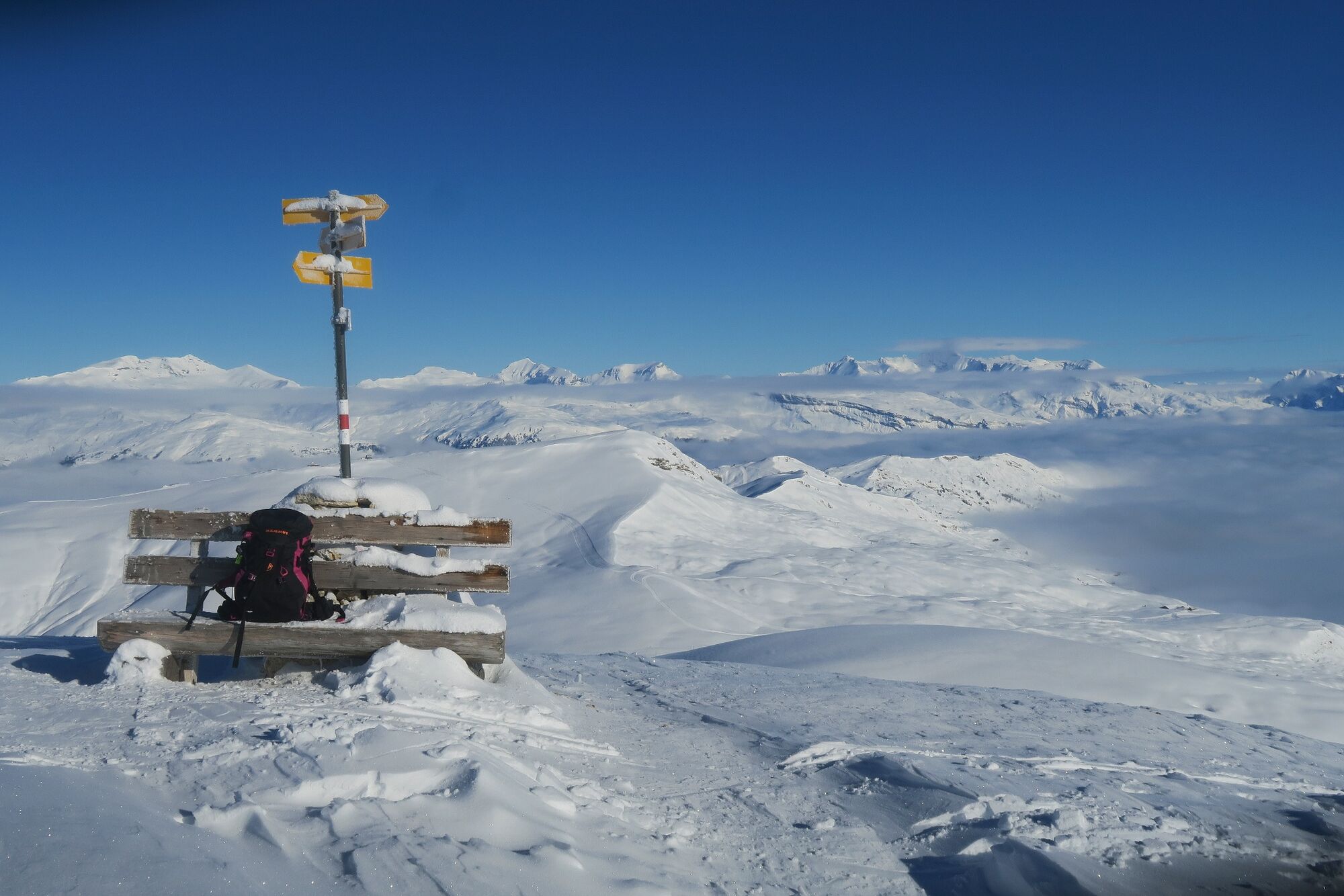
The tour starts one bend in the road below Lumbrein, in the Val da Mulin. The steepest meters are right at the beginning. After that, the tour climbs at a leisurely pace, leaving plenty of scope for route choice. After the usual “jacket stop” in Plaun d`Urdien, you climb steadily and evenly meter by meter. At 2100 meters you can cross to the small Maiensässhüttli and take a break for refreshments. The terrain remains similarly steep for the last 250 meters, but the scenery becomes increasingly impressive. One summit after another comes into view. The spacious and flat summit of Um Su is marked with a cairn.
If you don't make it to the summit, you can turn back earlier. The terrain offers rewarding variations. Our variant is listed at an altitude of 2200 meters above sea level. If you wish, you can cross to Alp Staviala Vedra from around 2000 m above sea level and descend along our route.
If you want to climb to the summit and make a round trip, take the way back via Sogn Andriu. Please pay attention to the wildlife sanctuary and stay on the route.



From S.Gion the trail leads approx. 1.5 km. along the main road back to Lumbrein (no snowshoe trail).
See safety instructions
We recommend using the WhiteRisk app and website to prepare and plan your tour.
For carefree enjoyment, we recommend our mountain guides and snowshoe hiking guides in the Surselva.
Via Chur A3/A13 über Flims nach Ilanz.
Ab Ilanz in Richtung Vella und weiter bis Lumbrein.
Von Chur mit der Rhätischen Bahn (RhB) nach Ilanz.
Postautolinie 90.441 Ilanz - Vrin. Haltestelle Lumbrein, vitg 5 Min zu Fuss zum Startpunkt oder Haltestelle Lumbrein, spv. Surin
Während der Wintersaison kann das Postauto auf der Linie Ilanz – Vrin sowie auf den übrigen Linien des ganzen Gemeindegebiets Lumnezia von allen kostenlos genutzt werden.
Auf dem Schulhausplatz oder im Dorfzentrum von Lumbrein, zu Fuss in 5 Minuten zum Start.
At your destination, the hosts of the restaurants in Lumbrein will be happy to spoil you with coffee and cake or even delicious Capuns.
Parcours populaires à proximité
-
5,0
Parcours panoramique
facileRandonnée 5,39 km -
5,0
Randonnée Pont suspendu Val da Tersnaus
moyenRandonnée 3,24 km -
Piz Fess 2880m, le Fiers
difficileRandonnée 12,8 km -
4,7
Alpe Dutjer - Superbe vue
moyenRandonnée 8,23 km -
3,3
Randonnée des 3 lacs
moyenRandonnée 12,8 km -
Giro della Greina
Randonnée 50,6 km -
5,0
randonnée de 2 jours sur le plateau de la Greina
difficileRandonnée 15,5 km -
Balade panoramique entre Piz Mundaun et Péz Sezner
moyenRandonnée 6,75 km -
5,0
Randonnée hivernale Gadastatt - Frunt - Zerfreila (chemin panoramique)
facileRandonnées d'hiver 5,36 km -
4,5
Fanellhorn 3124 m
difficileRandonnée d'altitude 6,86 km
Randonnée et suivi


Ne manquez pas les offres et l'inspiration pour vos prochaines vacances
Votre adresse électronique a été ajouté à la liste de diffusion.





