







Following in Suvorov's footsteps

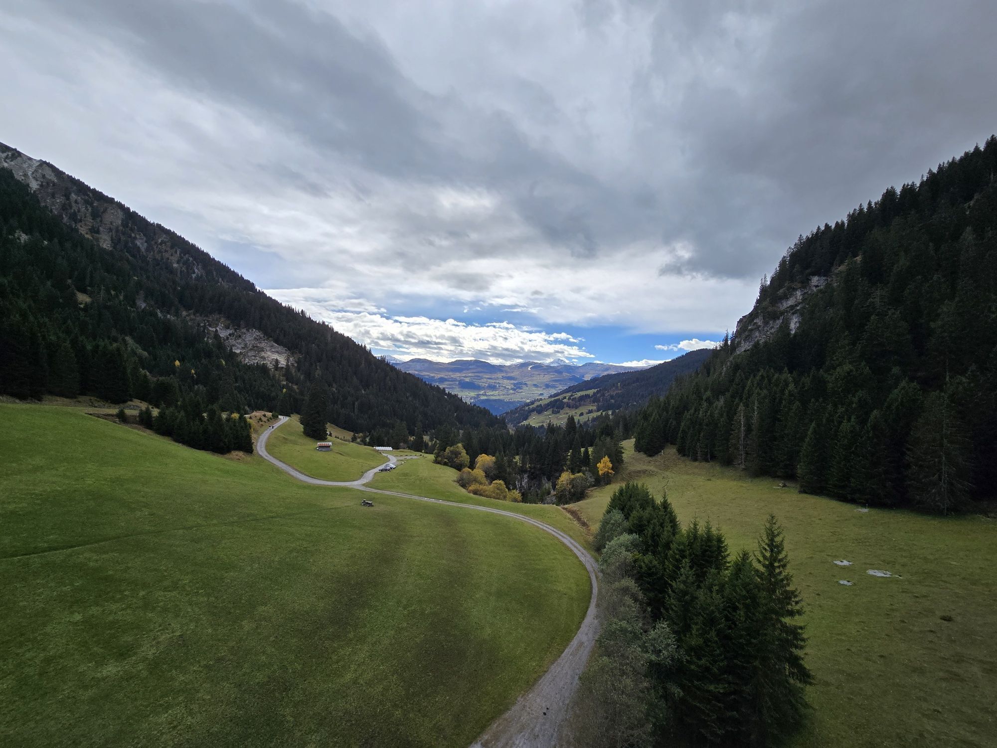
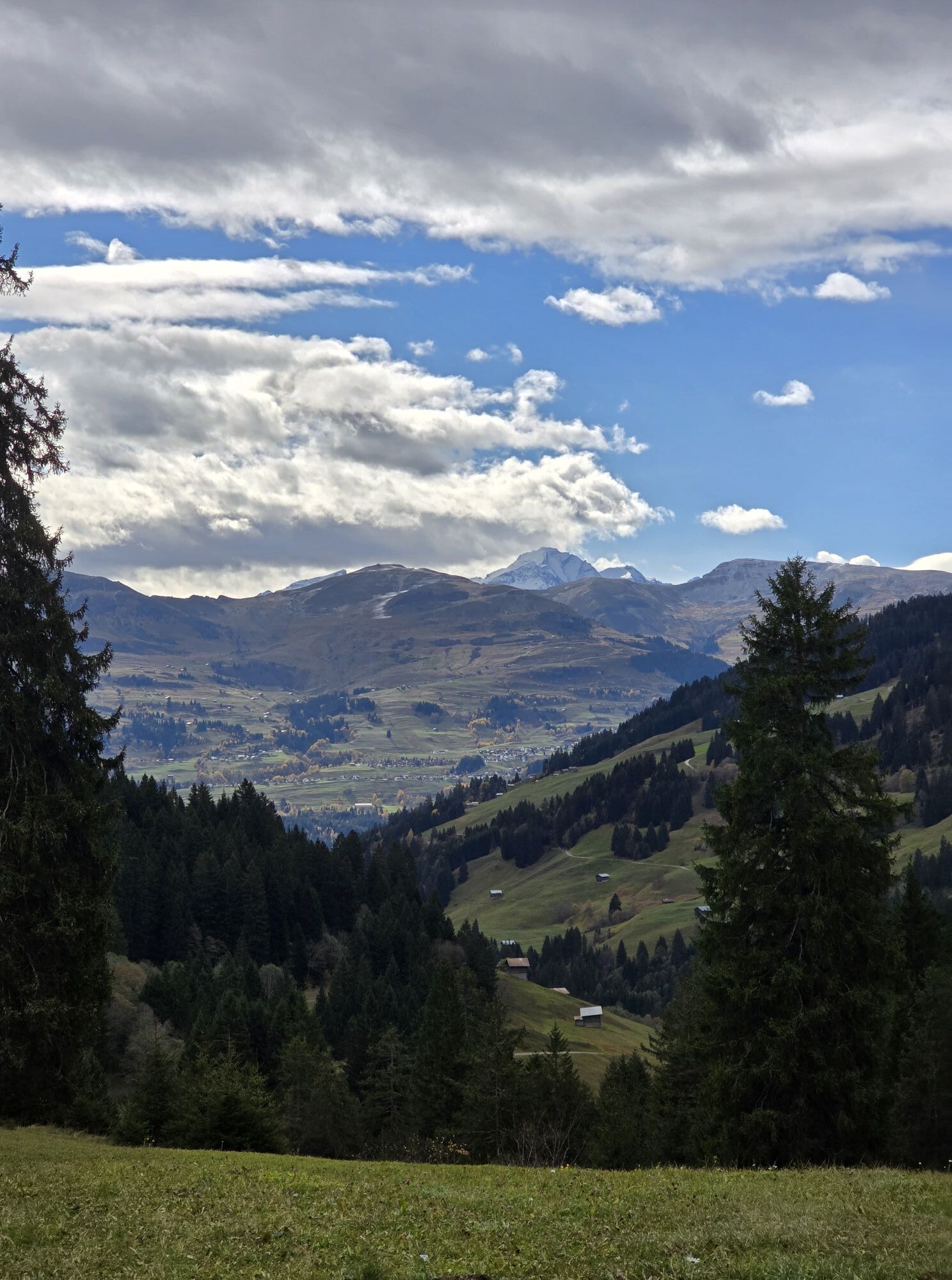

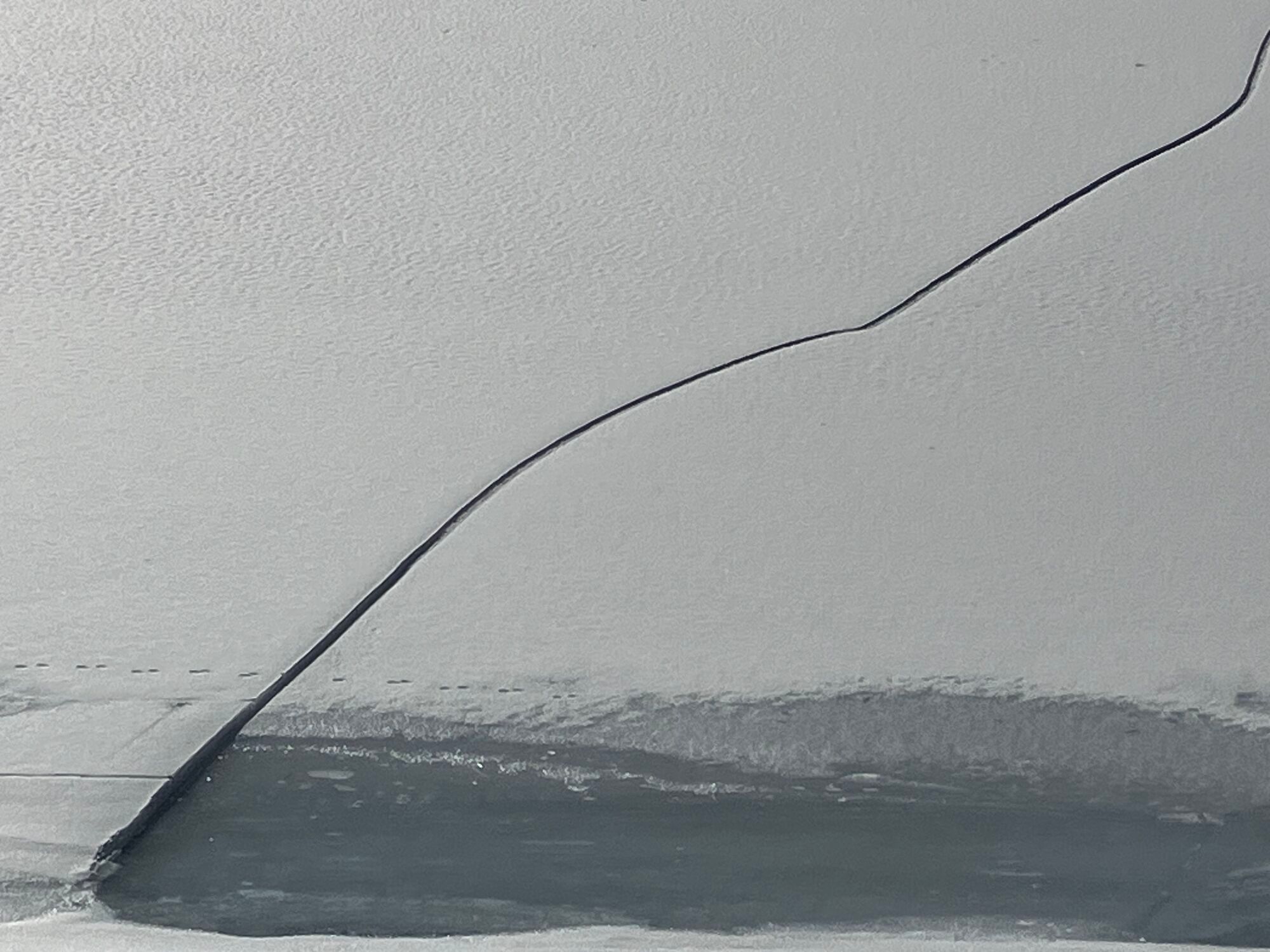
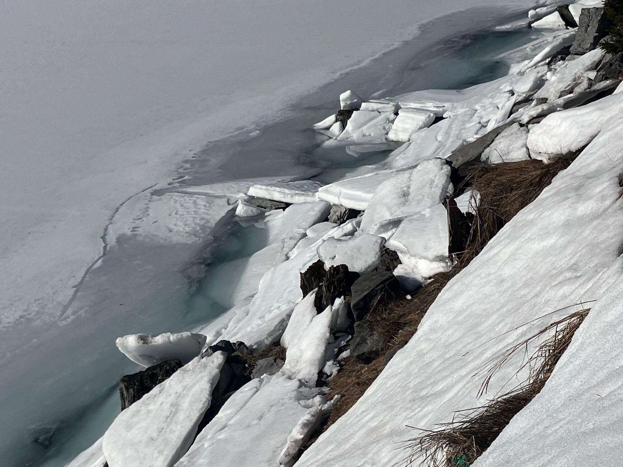
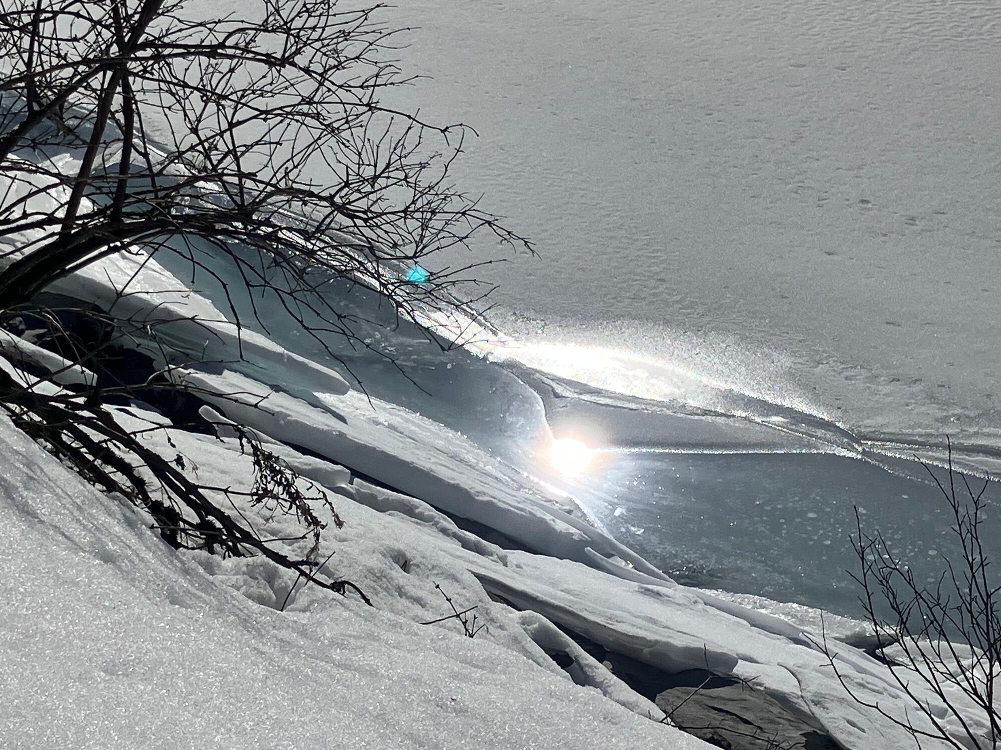
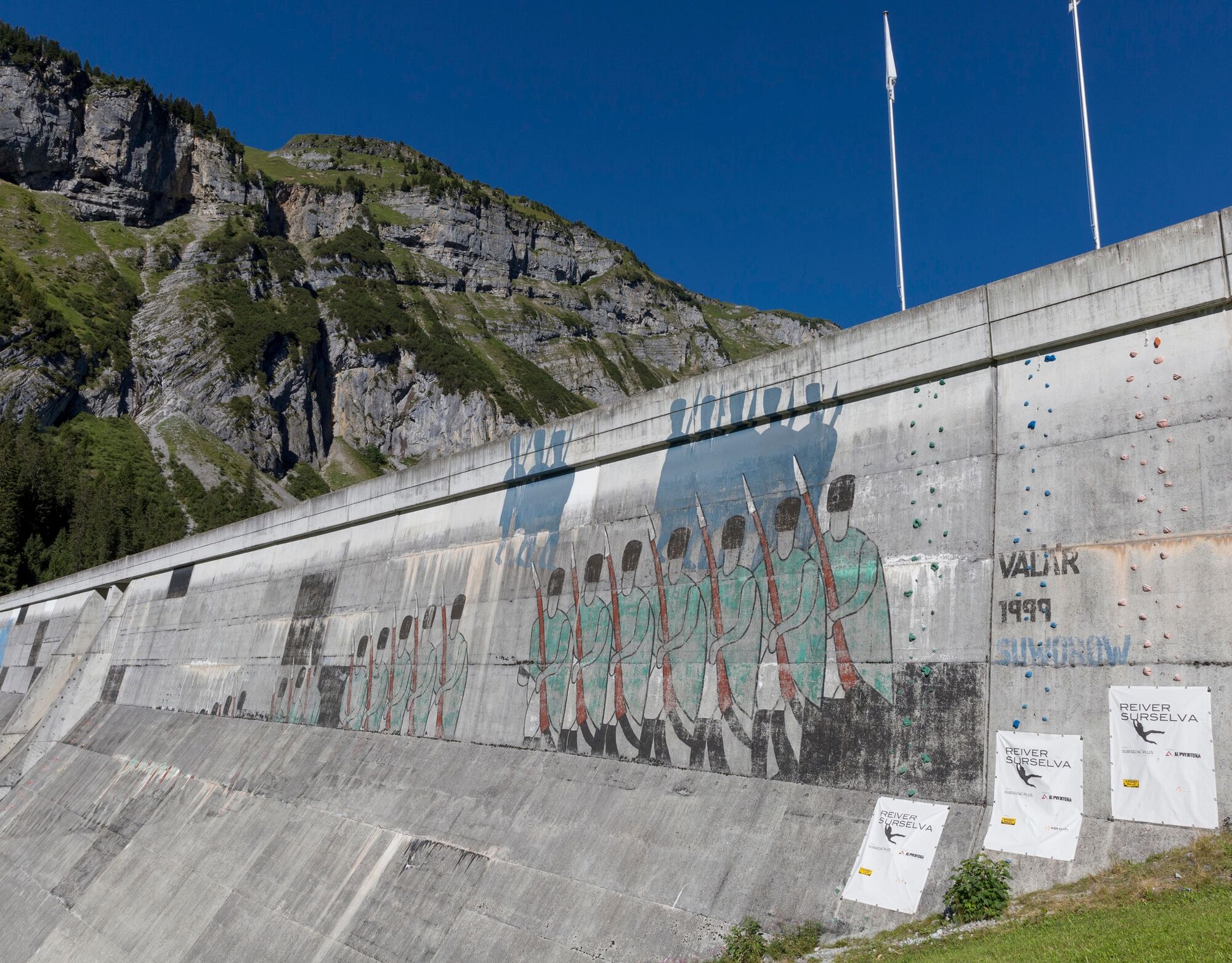
The paint of the dimly depicted soldiers is slowly peeling off the dam wall, but the memory remains. It must have been pretty uncomfortable when the famous Russian general Alexander Vasilyevich Suvorov...
The route starts at the valley station in Brigels. Follow the Graubünden Bike route no. 90.
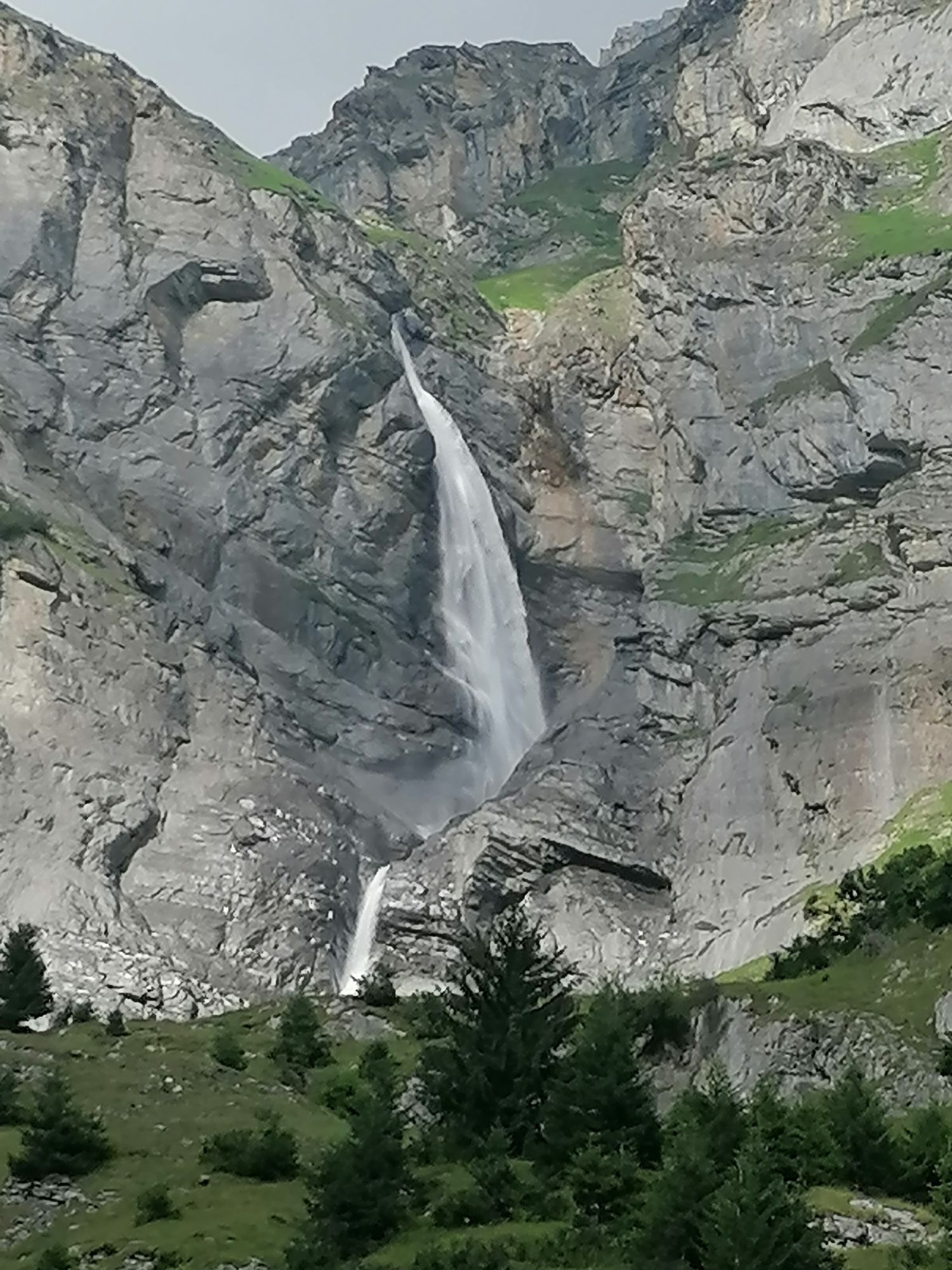
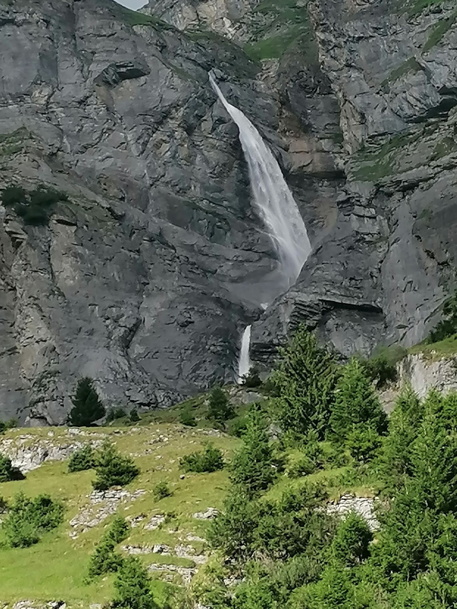
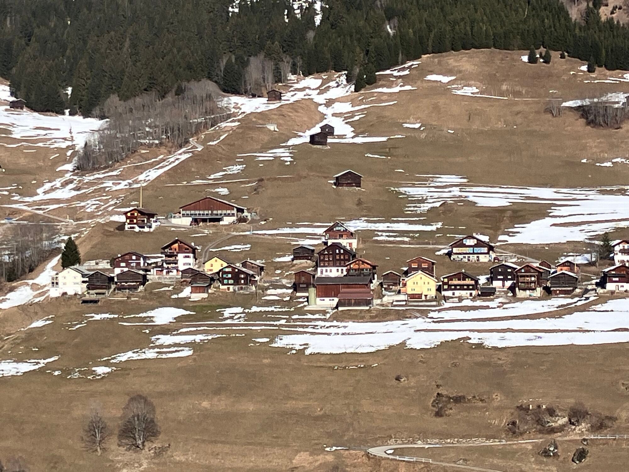
Take bike route no. 90 Graubünden Bike on the left bank of the lake in the direction of Waltensburg. Continue until you reach the Waltensburg valley station (large parking lot). At the valley station, ride uphill to Andiast. Ride through the beautiful mountain village to the end of the village. Here you will find a fork in the road. Take the left-hand road and continue along no. 90 until you reach the main road between the village of Pigniu and the reservoir. Now you have to follow no. 225 Lag da Pigniu. Once you reach the reservoir, you can follow the gravel road to the waterfalls at the end of the lake. The picnic areas at the end of the lake and on the other side of the dam are excellent places to take a break. The return journey is via the same route back to Brigels.




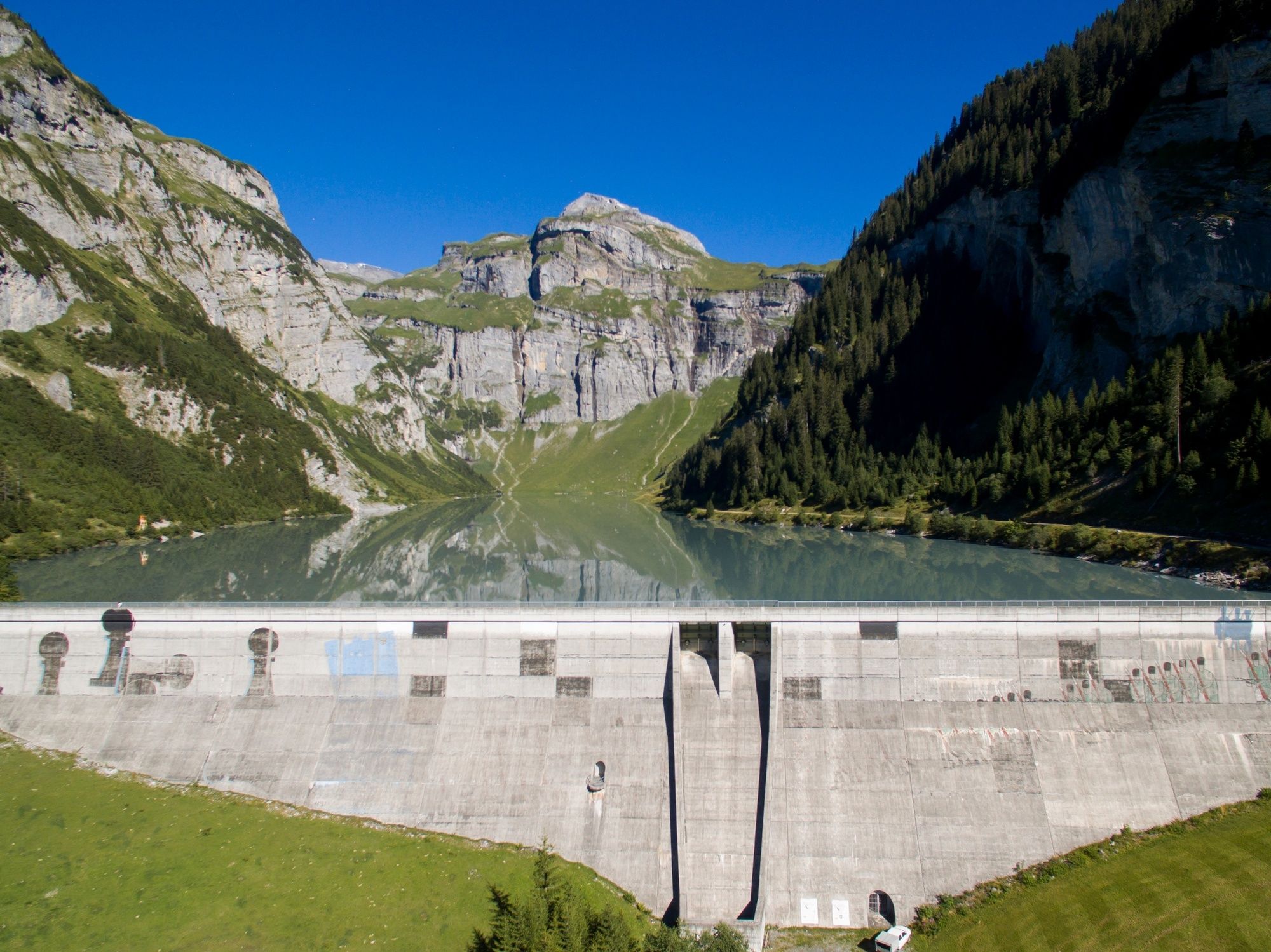

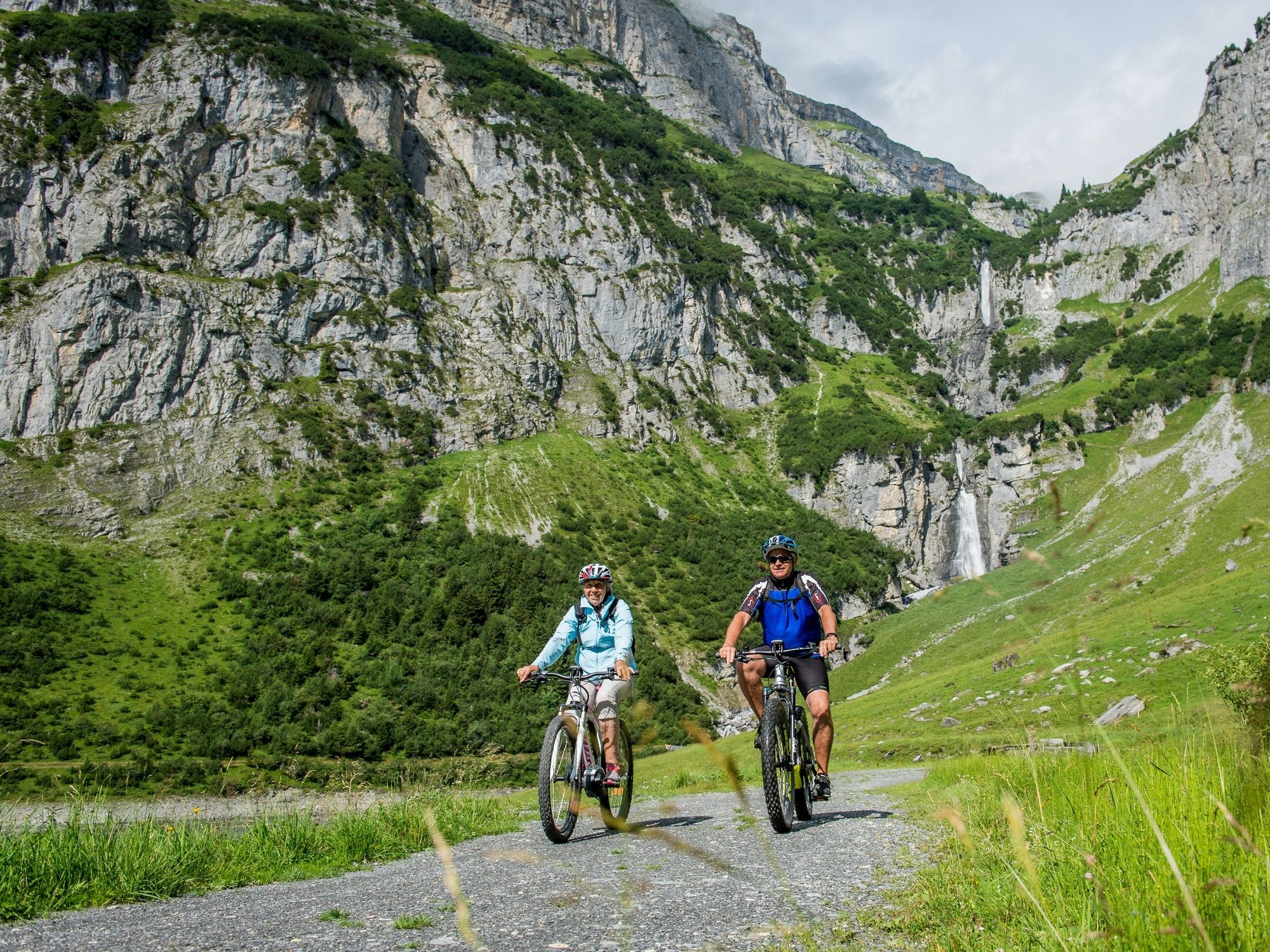

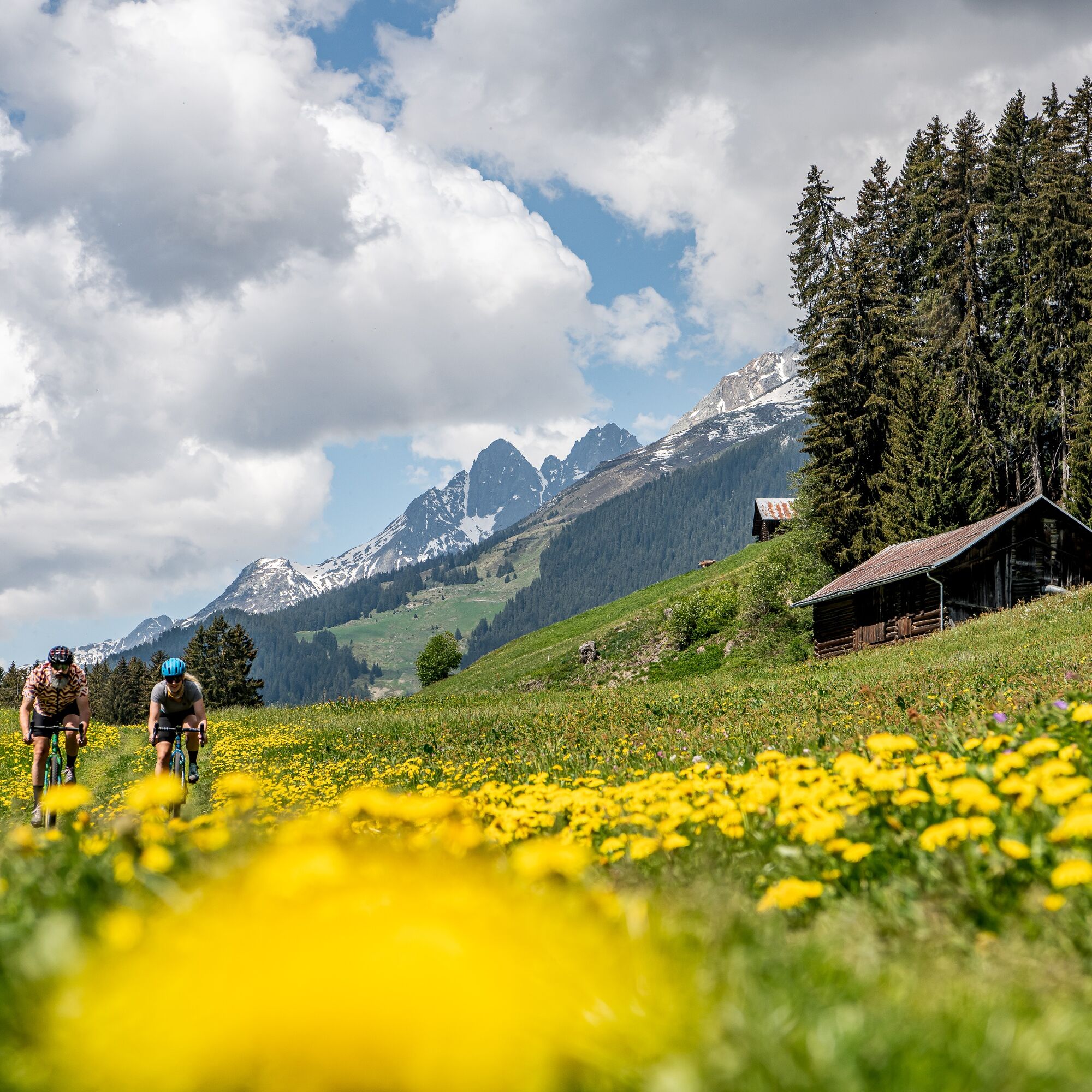

Brigels mountain railroads valley station - Migliè - Waltensburg Curtginet - Andiast - Pattadiras - Tscheppa - Cuolms - Camartgin - Lag da Pigniu - dam wall - Denter Auas. The return journey is via the same route back to Brigels.
Oui
Mountain bike, helmet, gloves, bike shoes, goggles, rain and sun protection, drink, repair kit, first aid kit
The tour should not be undertaken in uncertain weather conditions. Weather changes are frequent in the mountains. If a rain front or similar is approaching during the hike, you should turn back in good time.
144 Emergency call, first aid
1414 Mountain rescue REGA
112 International emergency call
On the A13 to Reichenau, then on the main road 19 via Flims to Tavanasa and then up to Brigels
Parking is available at the parking lots at the valley station of the Brigels cable cars
Surselva Tourismus AG
Info Brigels
Via Principala 32
CH-7165 Breil/Brigels
Tel.: 0041 81 941 13 31
Email: brigels@surselva.info
Internet: www.surselva.info
Fireplaces at the end of the reservoir in the middle of the rock arena or at the western end of the dam wall with a great panorama.
For safety reasons, bikes are not allowed on the eastern side of the reservoir (Singetrail). Please adhere to this. Thank you very much.
Webcams de la tournée

Parcours populaires à proximité
-
4,9
Gorge du Rhin : de Ilanz à Versam au cœur de la Gorge du Rhin
moyenRandonnée 11,4 km -
5,0
Kalktrittli - Nüschentäli - Muttsee - Obersee - Muttenchopf - Mörtel - Limmerensee - Kalktrittli (durch Stollen)
moyenRandonnée 14,8 km -
5,0
Bas Segnesboden : Nagens Sura - Bas Segnesboden - Segneshütte - Alp Nagens
moyenRandonnée 6,66 km -
4,7
Le chemin d'eau : Trutg dil Flem 764
difficileChemin thématique 8,56 km -
5,0
Haute vallée Val Frisal
difficileRandonnée 12,4 km -
3,5
Tour zum Martinsloch
difficileRandonnée 3,82 km -
3,8
Randonnée en boucle : Falera-Curnius-Alp Dadens-Falera
moyenRandonnée 11,4 km -
5,0
Von Tschinglen via Gandstock - Mittaghorn - Martinsmadhütte nach Elm Töniberg
difficileRandonnée 9,70 km -
4,5
Randonnée panoramique en altitude : Crap Sogn Gion - Fuorcla - Alp Nagens
moyenRandonnée 9,44 km -
5,0
Leglerhütte
moyenRandonnée 12,5 km
Randonnée et suivi


Ne manquez pas les offres et l'inspiration pour vos prochaines vacances
Votre adresse électronique a été ajouté à la liste de diffusion.





