







Fürhörnli / Montalin
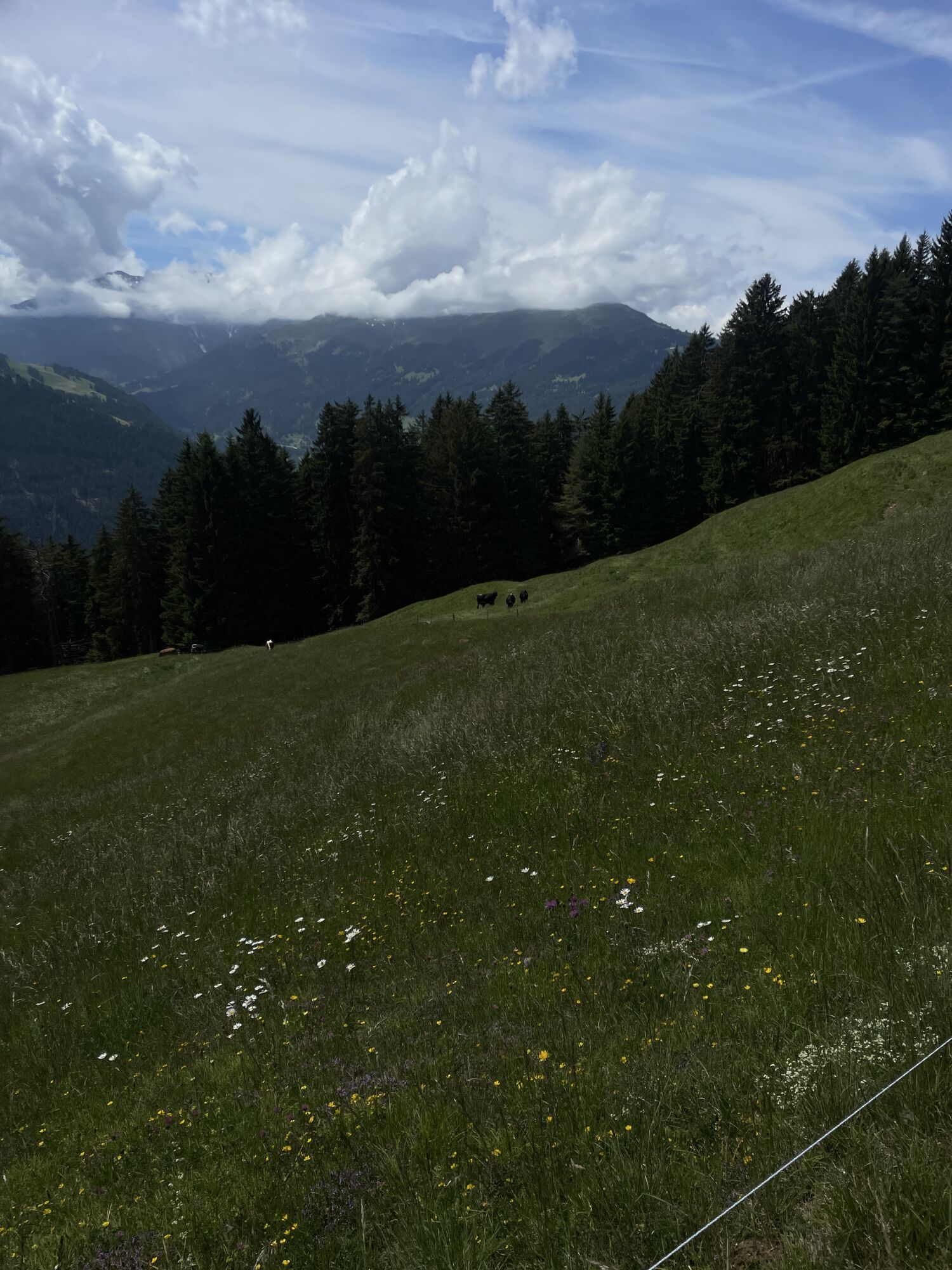
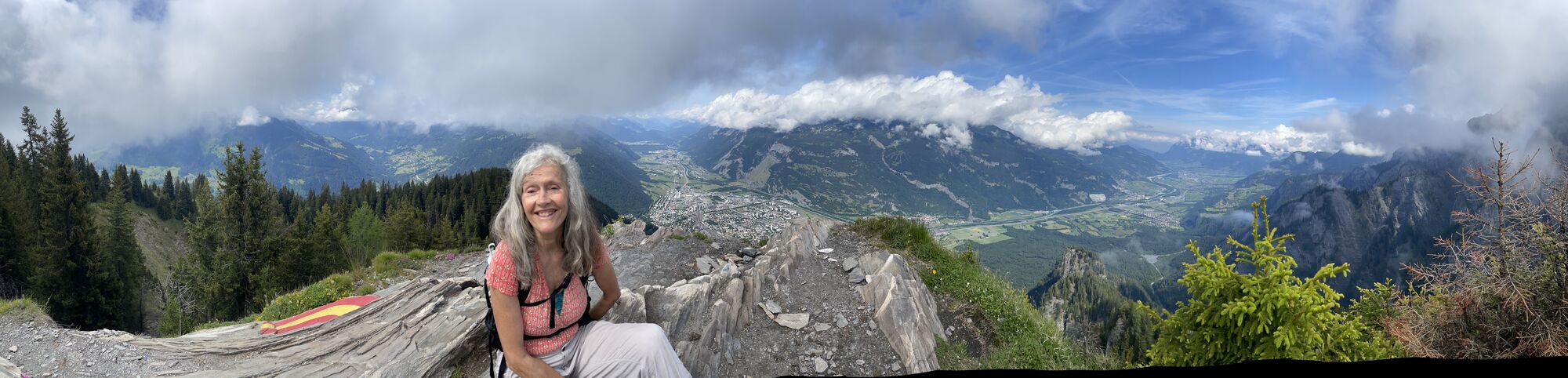
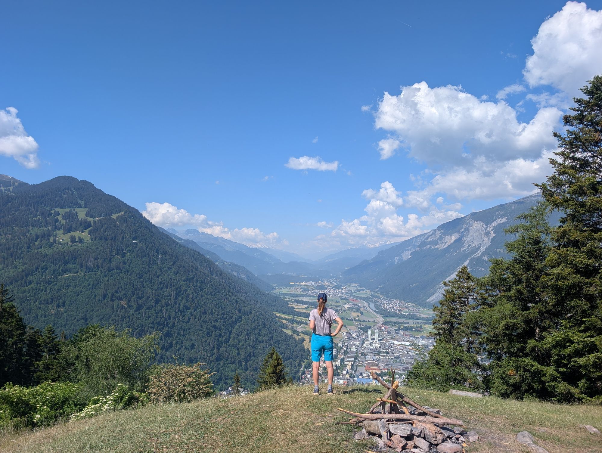
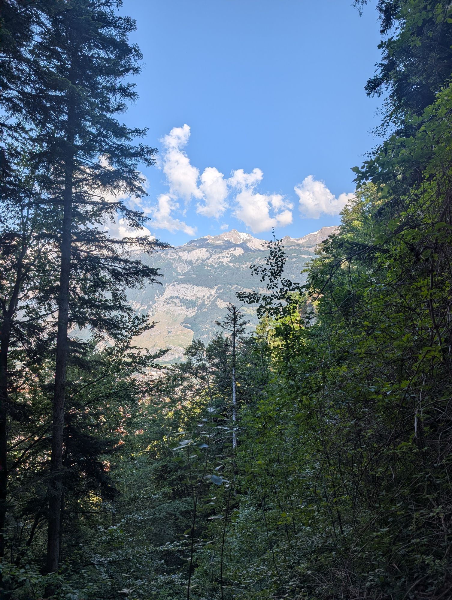
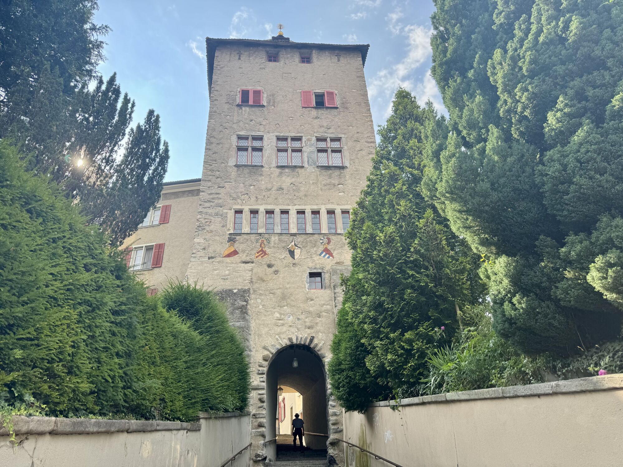
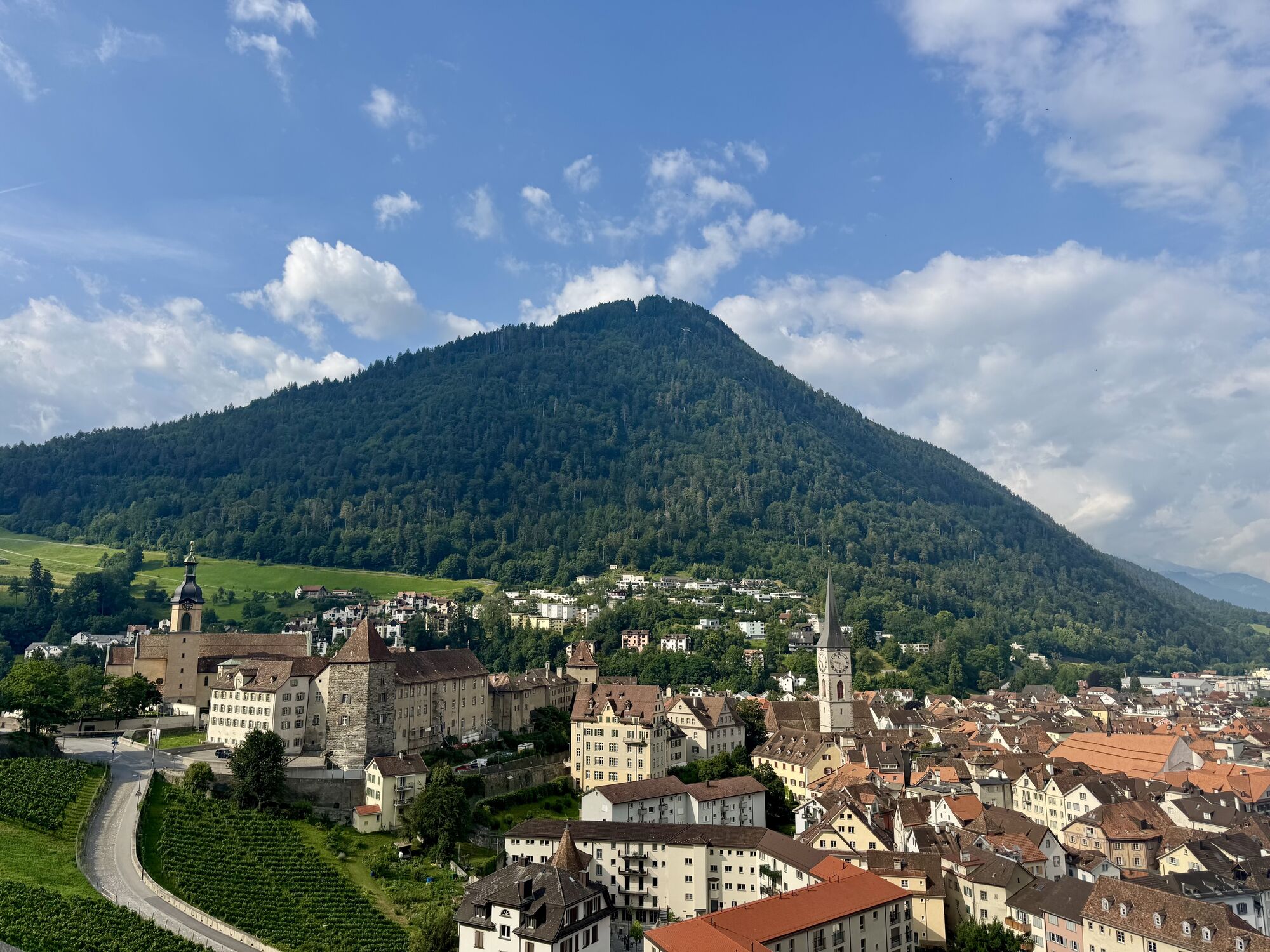
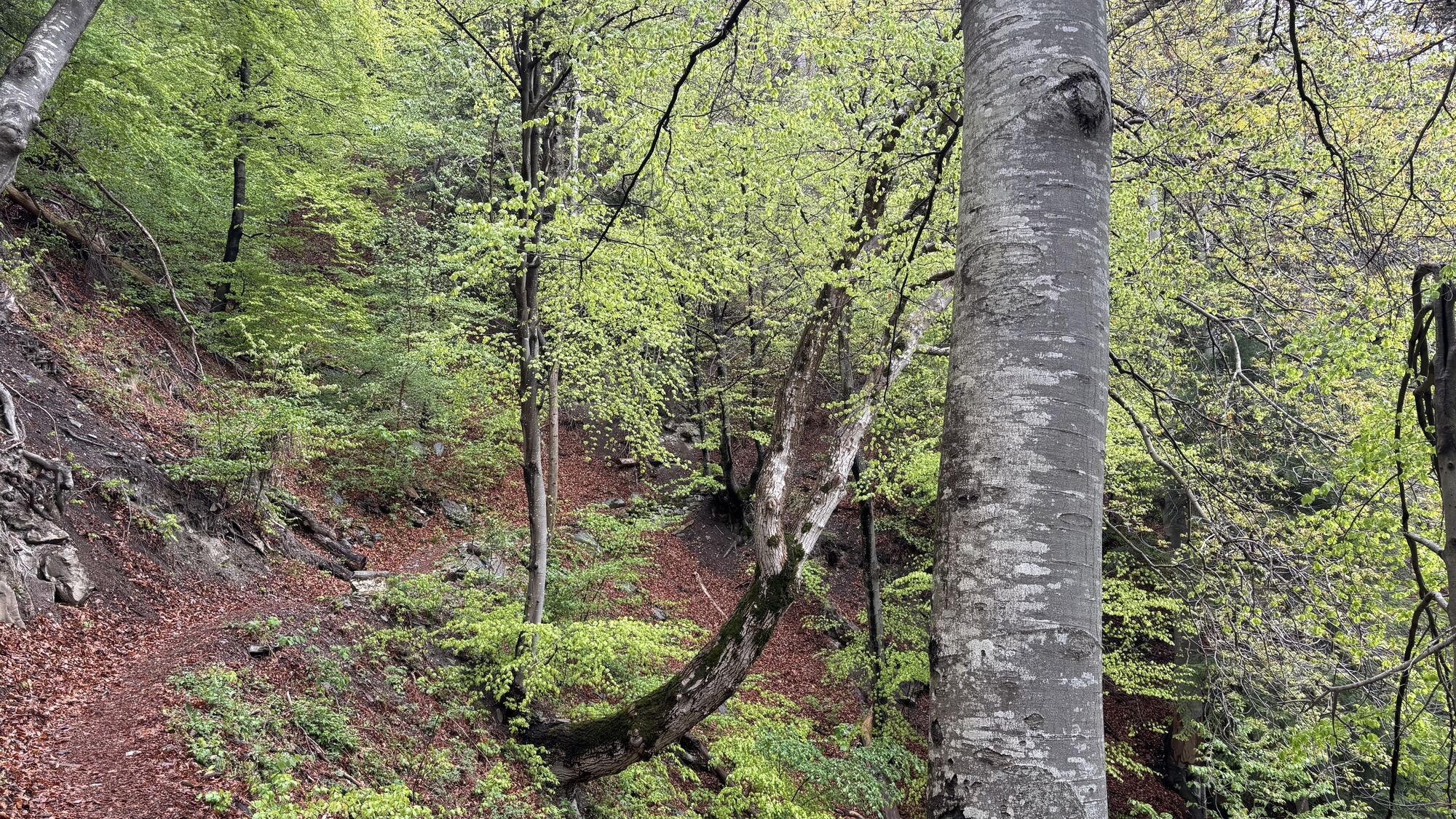
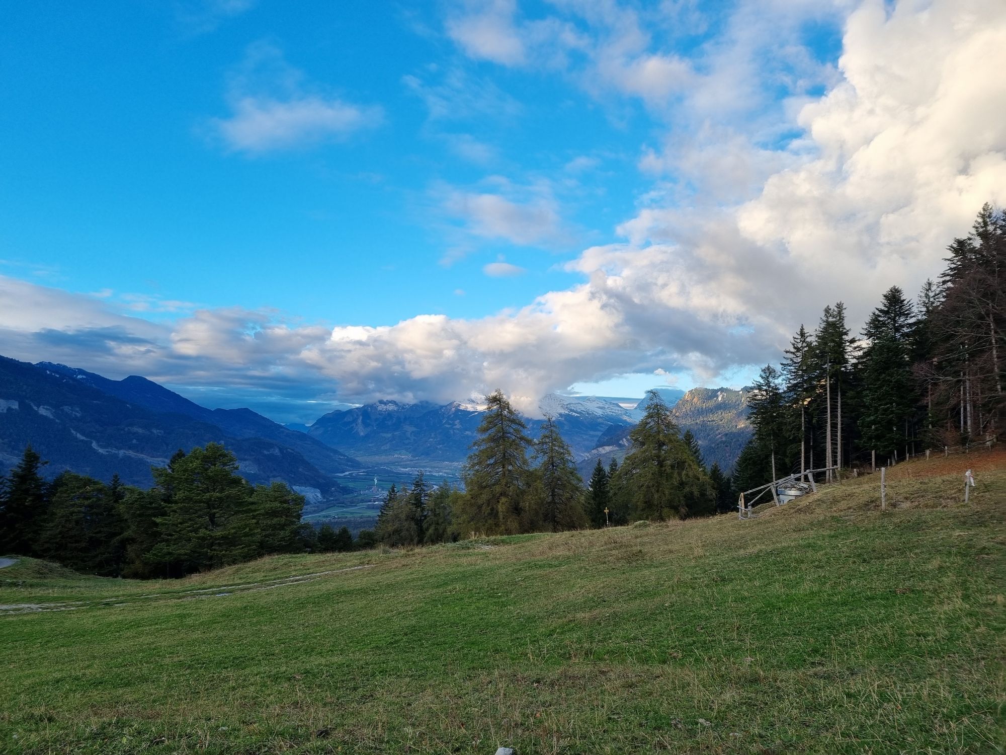
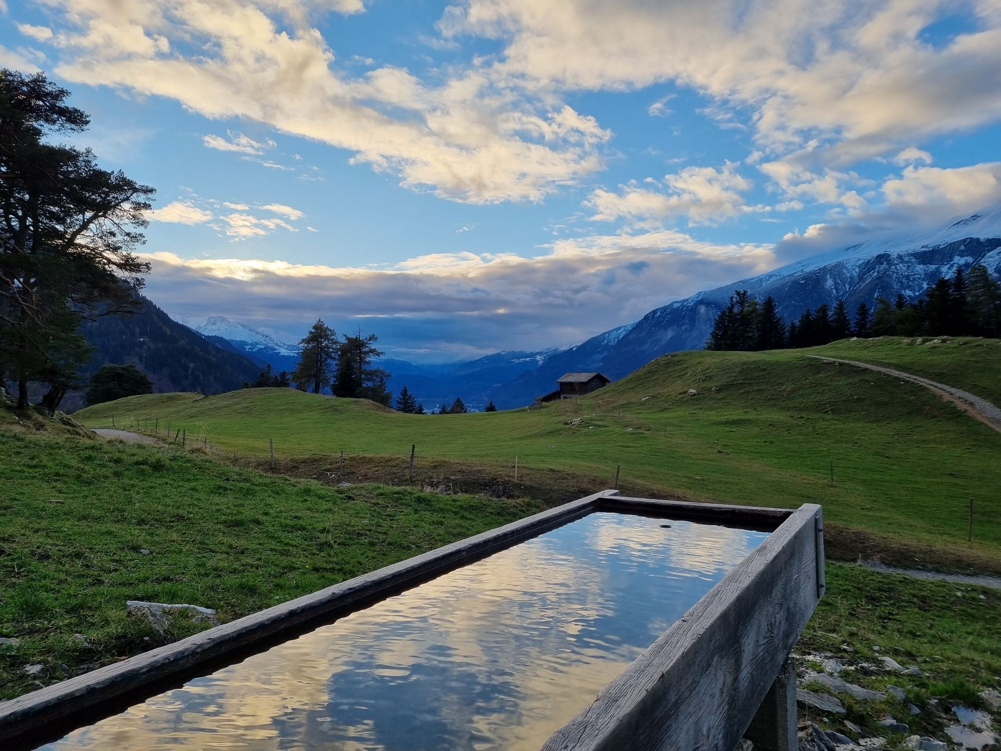
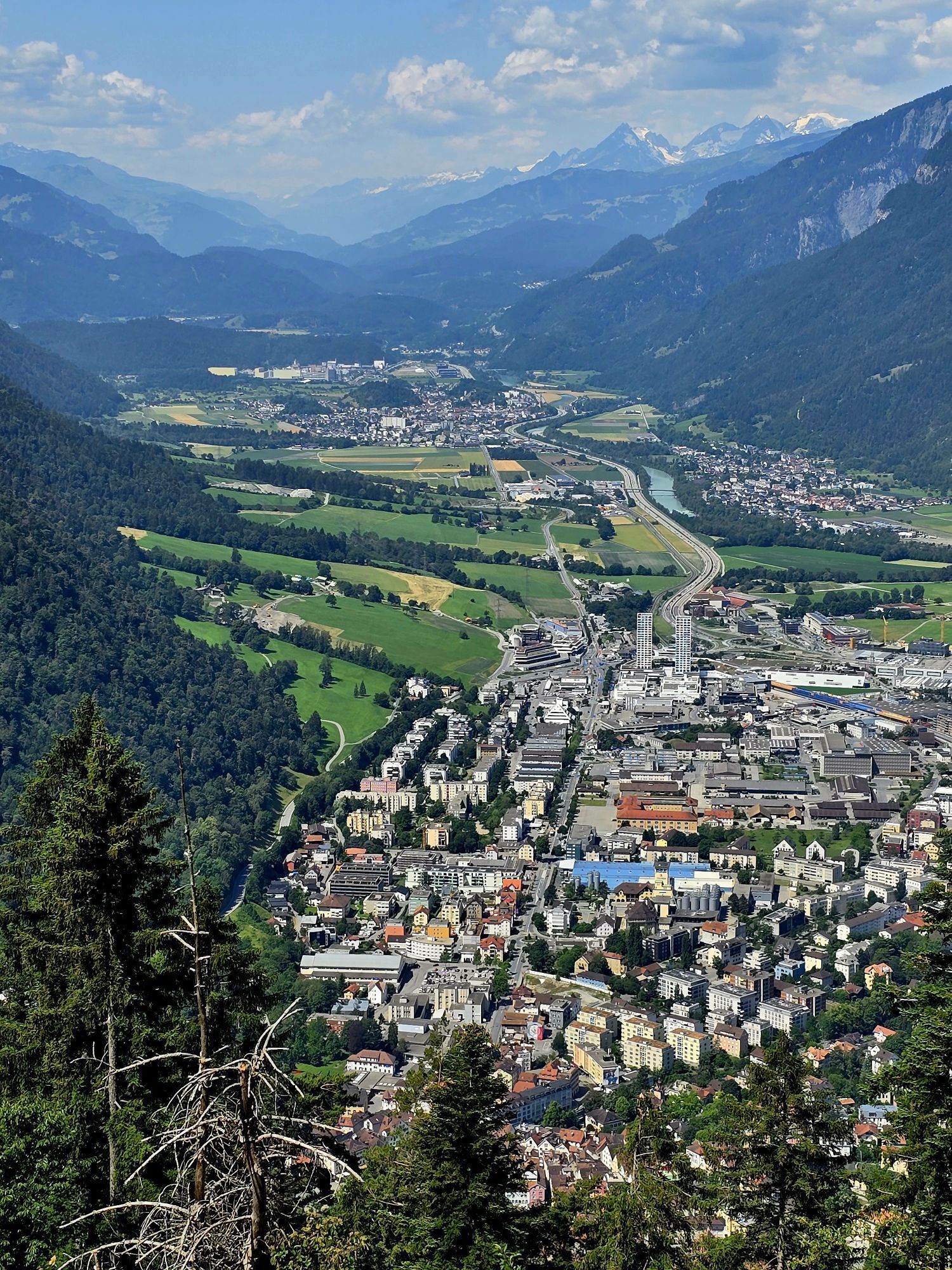
The tour starts in Chur. After a walk through the Old town and up to the cathedral, you can follow a hiking path up to the village of Maladers. Now follow a forest road until you reach the Alp Saldein....
The tour starts in Chur. After a walk through the Old town and up to the cathedral, you can follow a hiking path up to the village of Maladers. Now follow a forest road until you reach the Alp Saldein. From there, you can (optionally) continue, follow the blue hiking sings and climb up to the Montalin peak (appr. 360 meters of height difference and 1 hour walking time). The Montalin is with 2266 m the highest point of the city of Chur.
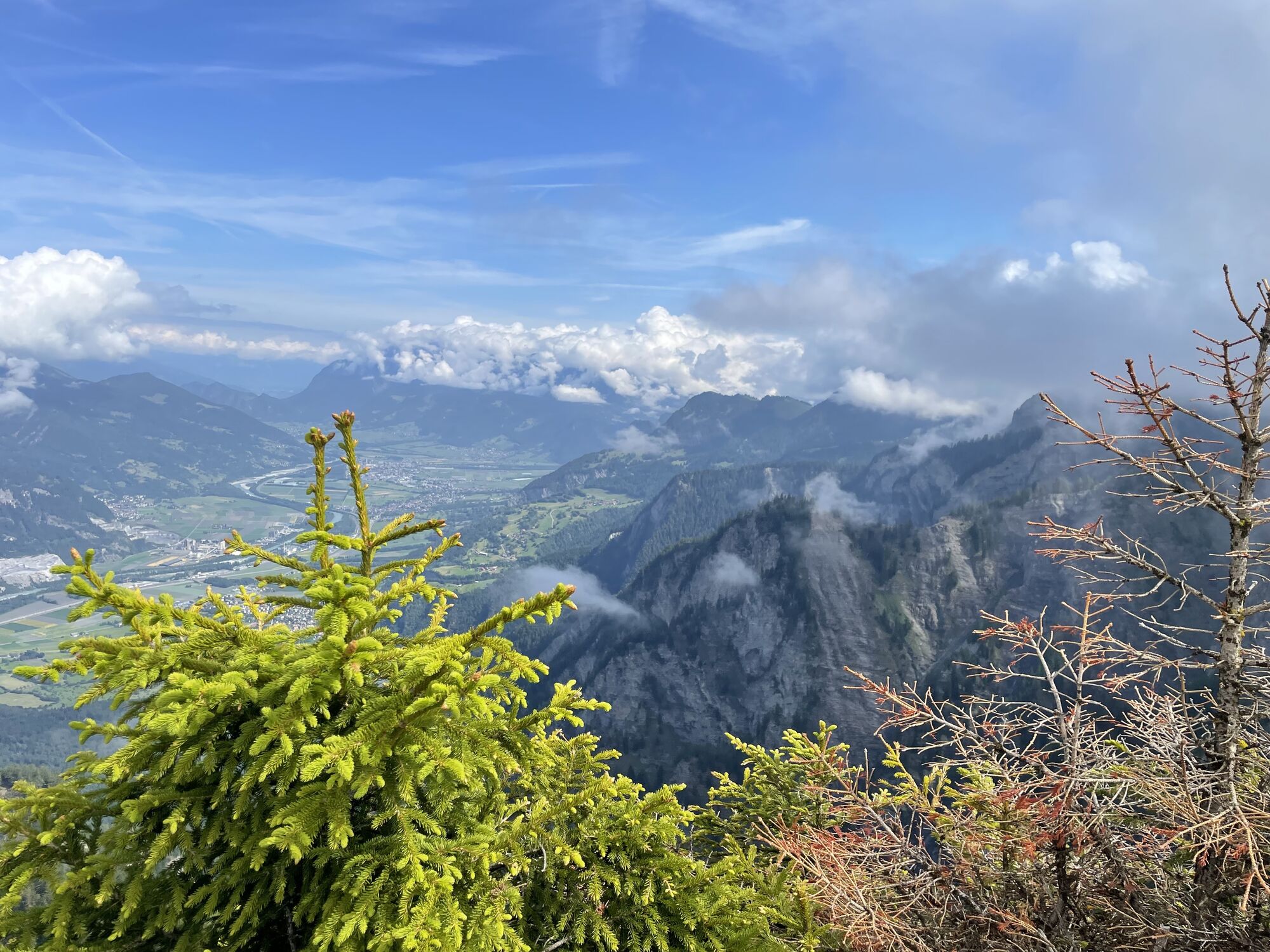
To reach the Fürhörnli, go left and walk downwards along a mountain ridge, before the trail goes slightly upwards again and the Fürhörnli lies before you. The branch-off to the Fürhörnli is not marked, but the tracks left from the hiking route is well recognizable. Along the tree-covered ridge you reach the Fürhörnli in a few steps. Be careful on the small and exposed peak-balcony (accession only recom-mended for people free from giddiness).
For descending, take the hiking trail to Ochsenberg, Mittenberg and the St. Luzi chapell, before you finally will arrive back in the city center of Chur.
 Obtenez un aperçu
Toujours en direct avec plus de 9.500 webcams. En tant qu'utilisateur Pro, vous pouvez désormais voir les webcams correspondantes à de nombreuses randonnées dans l'application de randonnées de bergfex. Vous pouvez ainsi voir directement les conditions actuelles.
Obtenez un aperçu
Toujours en direct avec plus de 9.500 webcams. En tant qu'utilisateur Pro, vous pouvez désormais voir les webcams correspondantes à de nombreuses randonnées dans l'application de randonnées de bergfex. Vous pouvez ainsi voir directement les conditions actuelles.
Parcours populaires à proximité
-
4,7
Circuit de la gorge de Tamina
moyenRandonnée 14,0 km -
4,6
Parcours circulaire du Pizalun
facileRandonnée 7,18 km -
Arosa-Schwellisee-Älplisee-Parpaner Rothorn
Randonnée 12,3 km -
4,5
Drachenloch
difficileRandonnée 9,72 km -
4,7
Arosa-Hörnli-Parpaner Rothorn-Lenzerheide
Randonnée 11,9 km -
5,0
Arosa-Hörnli-Urdenfürrgli-Alp Scharmoin-Lenzerheide
moyenRandonnée 15,3 km -
5,0
Sentier des écureuils Arosa
facileChemin thématique 1,72 km -
Alp Sanaspans - Rothorn
difficileRandonnée 13,6 km -
Haldensteiner Calanda
difficileRandonnée 16,9 km -
5,0
Arosa-Erzhornsattel-Arosa
Randonnée 14,9 km
Randonnée et suivi


Ne manquez pas les offres et l'inspiration pour vos prochaines vacances
Votre adresse électronique a été ajouté à la liste de diffusion.





