







Mittenberg - Maladers

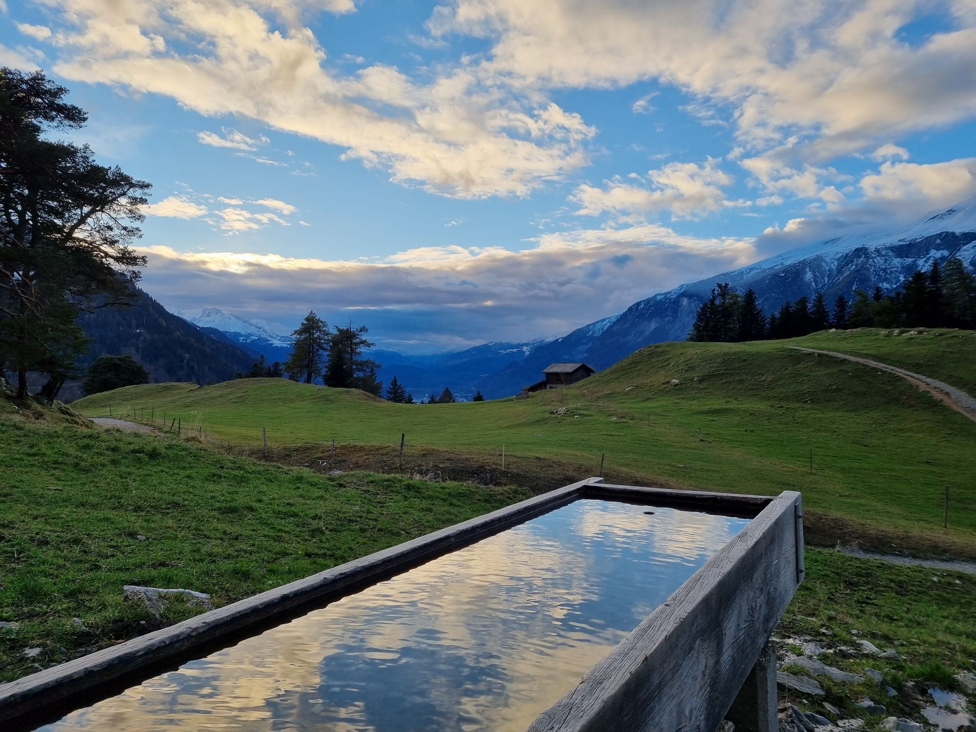
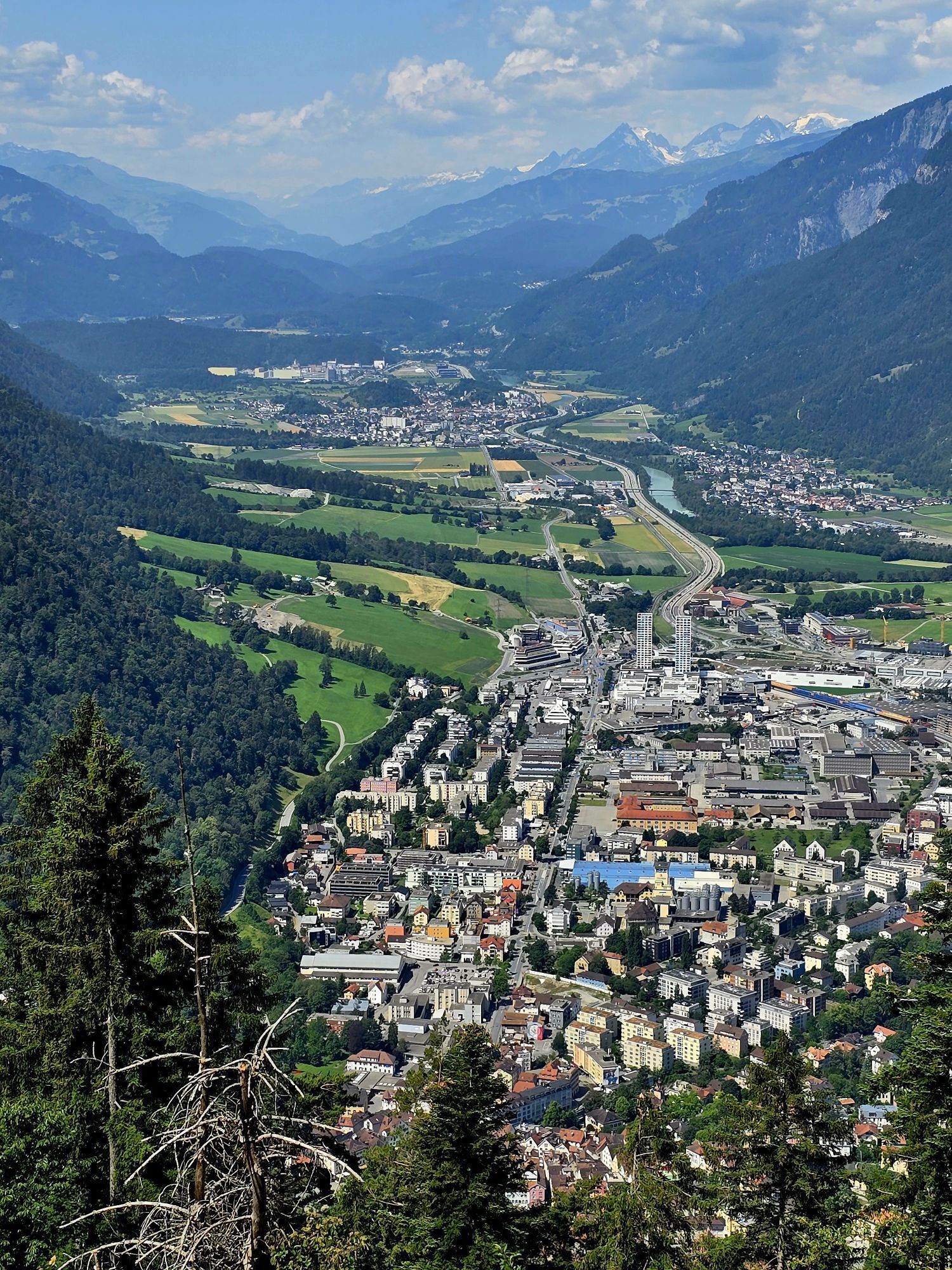
The Chur city bus no. 2 takes you the Fürstenwald above of the city. This is the starting point of this hiking tour. From there, follow the wide forest road steadily up to Mittenberg. On the way and on...
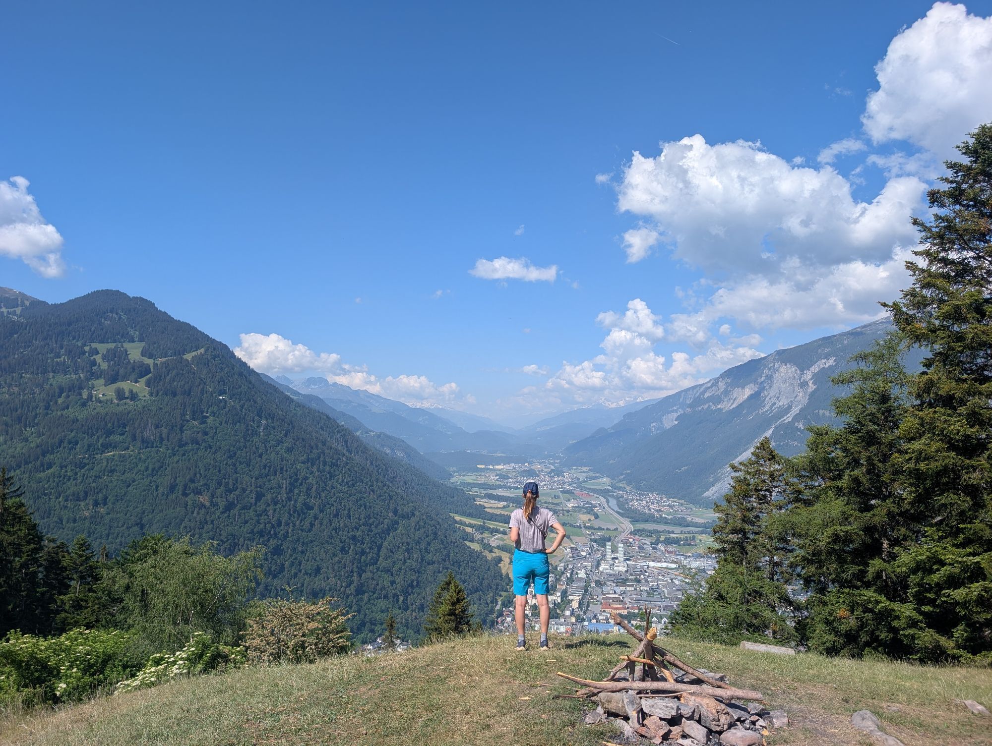
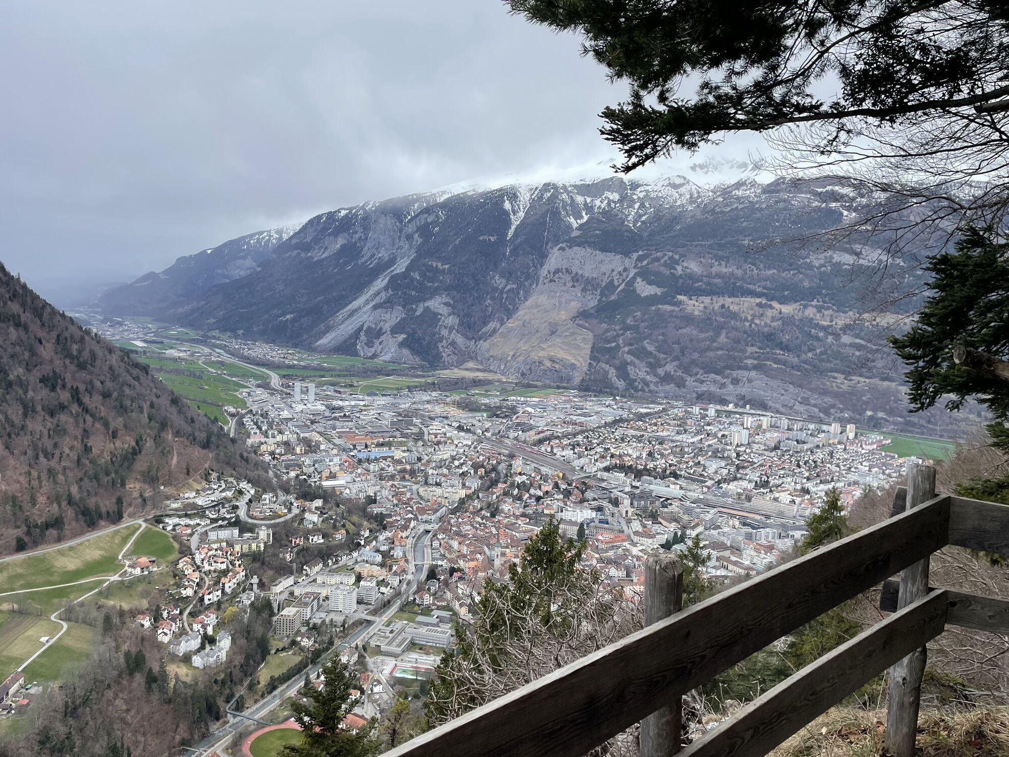
The Chur city bus no. 2 takes you the Fürstenwald above of the city. This is the starting point of this hiking tour. From there, follow the wide forest road steadily up to Mittenberg. On the way and on the Mittenberg you will find fountains with fresh spring water. Up at Mittenberg, you have a wonderful panorama view into the Chur Rhine valley and the surrounding mountains and is an ideal place for a picknick, as well.
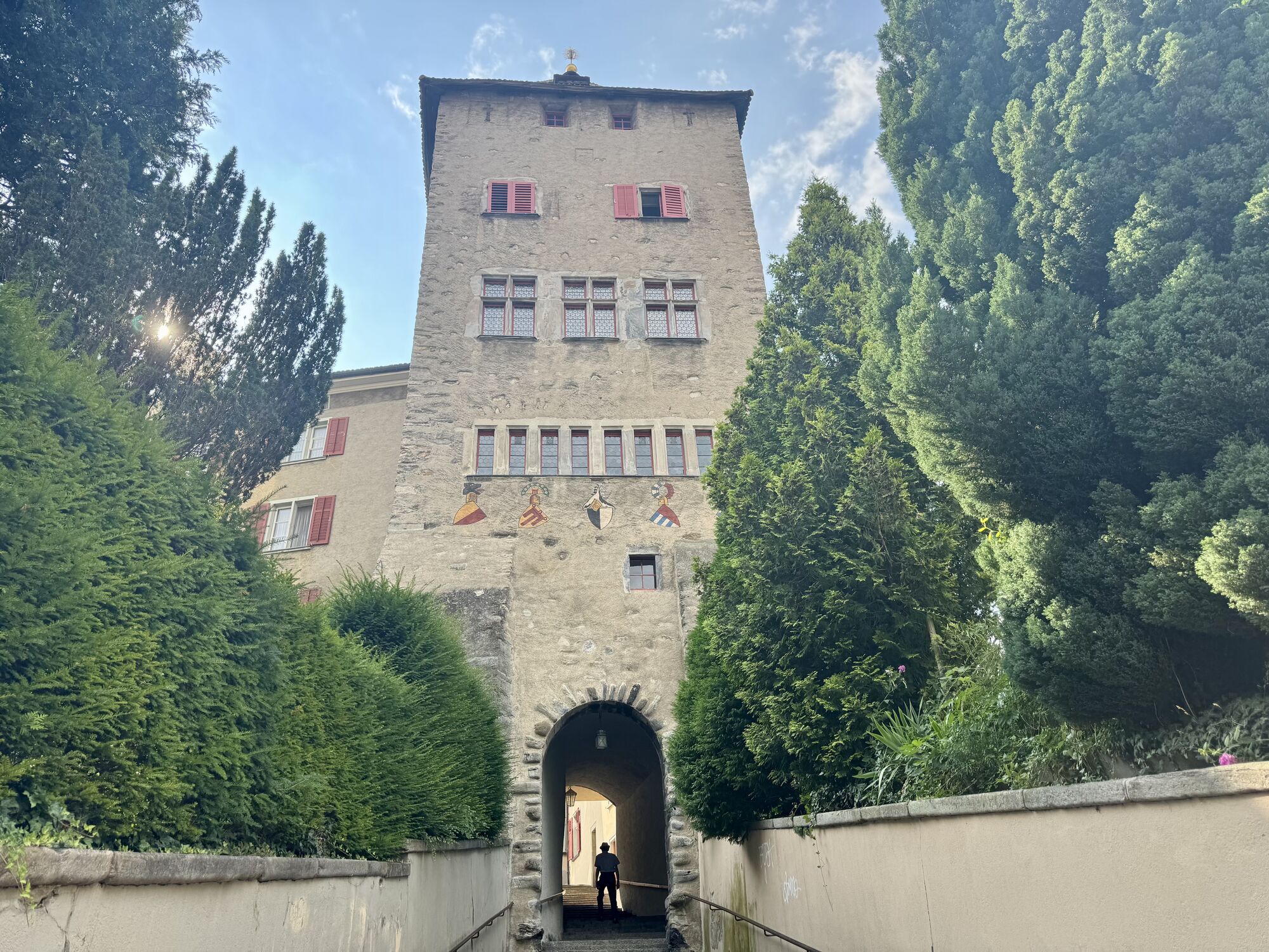
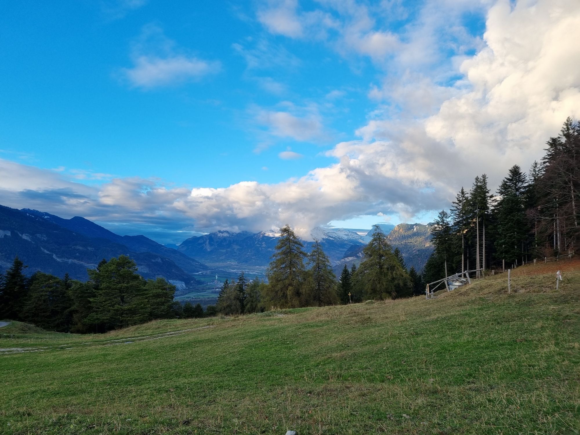
Descent along the pastures to Maladers, Brandacker and below the Arosa street into the direction of the city again, past the Episcopal courtyard with the famous cathedral. There you will enter the wonderful and historic Old town of Chur again.

Webcams de la tournée


Parcours populaires à proximité
-
4,8
Circuit des Gorges de la Tamina
moyenRandonnée 14,0 km -
4,6
Parcours circulaire du Pizalun
facileRandonnée 7,18 km -
4,8
Randonnée en montagne jusqu'aux marmites de géant de l'alpage Mora : Bargis-Trin
difficileRandonnée 18 km -
Arosa-Schwellisee-Älplisee-Parpaner Rothorn
Randonnée 12,3 km -
4,5
Drachenloch
difficileRandonnée 9,72 km -
4,7
Arosa-Hörnli-Parpaner Rothorn-Lenzerheide
Randonnée 11,9 km -
5,0
Alp Sanaspans - Rothorn
difficileRandonnée 13,6 km -
5,0
Sentier des écureuils Arosa
facileChemin thématique 1,72 km -
5,0
Arosa-Hörnli-Urdenfürrgli-Alp Scharmoin-Lenzerheide
moyenRandonnée 15,3 km -
3,0
De Vättis au village walser de St. Martin
moyenRandonnée 8,03 km
Randonnée et suivi


Ne manquez pas les offres et l'inspiration pour vos prochaines vacances
Votre adresse électronique a été ajouté à la liste de diffusion.





