







Brambrüesch - Känzeli pleasure hike

The ascent of this tour is very comfortable - just enter the gondola in Chur and float to Brambrüesch. Up there on the high plateau, exactly 1'000 meters of height above the city of Chur, first you walk...
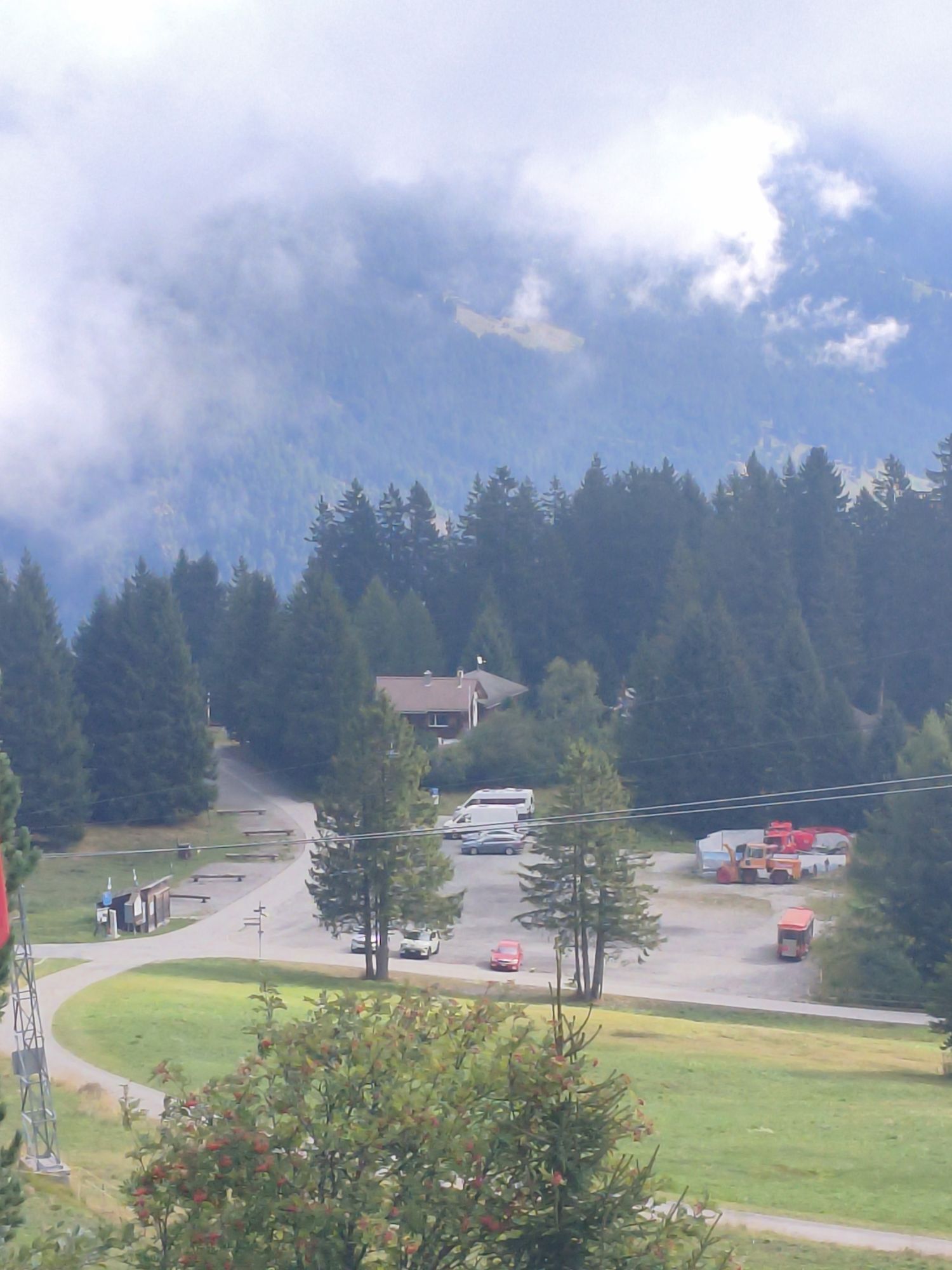
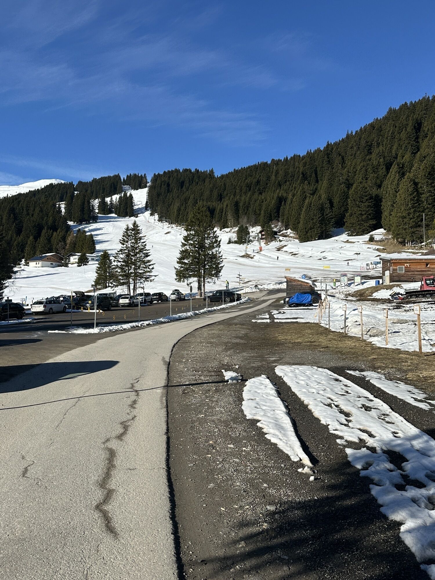
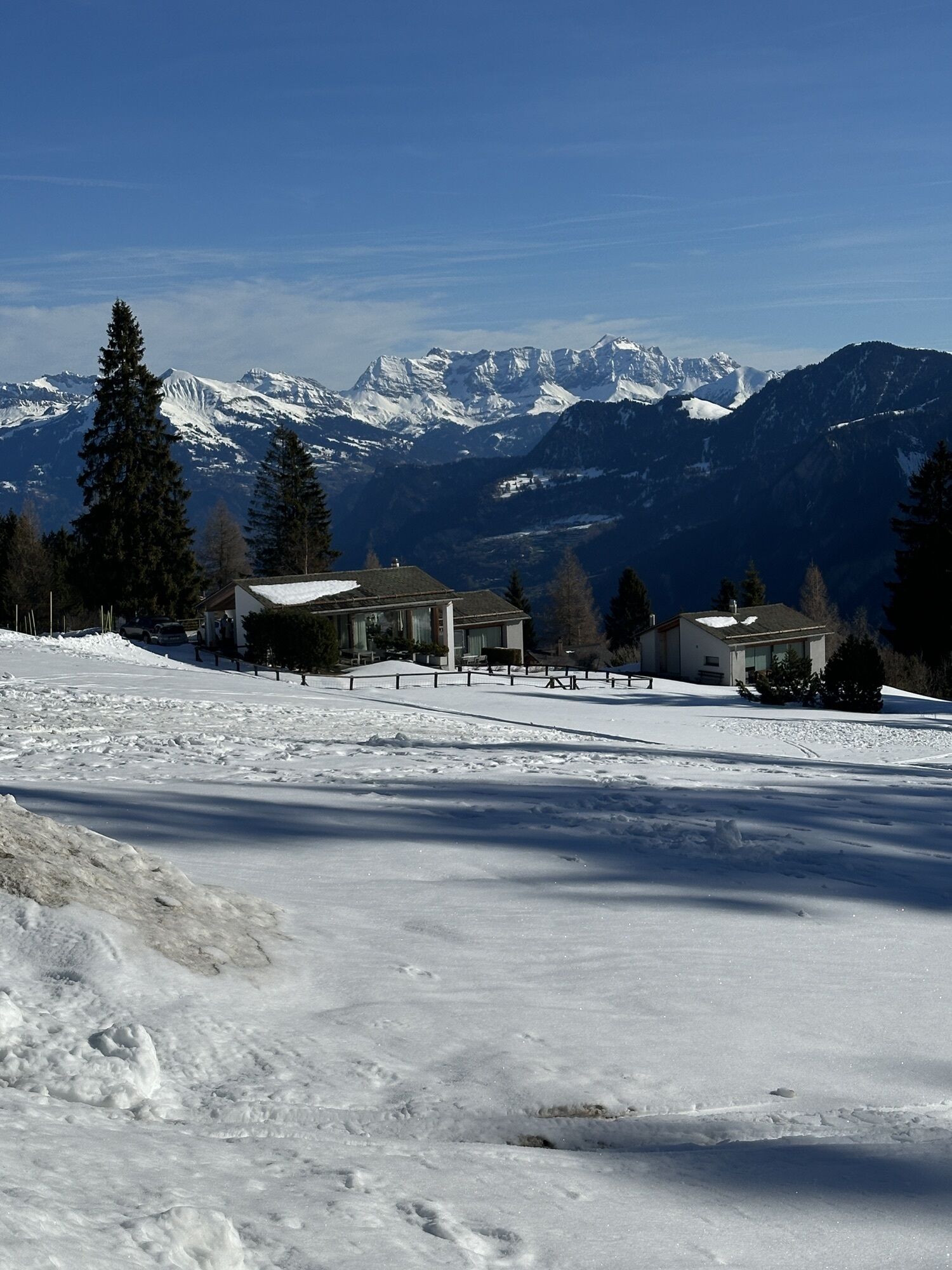
The ascent of this tour is very comfortable - just enter the gondola in Chur and float to Brambrüesch. Up there on the high plateau, exactly 1'000 meters of height above the city of Chur, first you walk straight forward and you will pass three mountain restaurants: Battagliahütte, VIVA berg.baiz and Malixerhof. When you pass the Malixerhof, the descent into direction of Känzeli begins. Follow the wide forest road and enjoy the scenery and the panorama. Here and there you walk in the shade of the forest, then through some longer glades. In the middle section the panorama to the Schanfigg valley with the mountains of Hochwang, Arosa Weisshorn, Strelapass and Weissfluhgipel are particularly beautiful. Shortly before you arrive at the Känzeli the panorama to the city of Chur and the Rhine valley opens up. From the middle station Känzeli you can then float back into valley with the gondola.

Autobahn-Ausfahrt Chur Süd
Stadteinwärts fahren (Kasernenstrasse)
Talstation und Parkplatz liegen vor dem Stadtzentrum auf der rechten Seite
Mit dem Zug bis zum Bahnhof Chur. Von dort fährt der Stadtbus (Linie 1) in 3 Minuten bis zur Talstation der Bergbahnen (Haltestelle Stadthalle/Brambrüeschbahn).
Gäste der Chur Bergbahnen parkieren auf dem Stadthallen-Parkplatz bei der Talsation gratis. Hierfür muss die Kontrollschild-Nummer bei der Kassa zwingend angeben werden!
Activités le long du parcours


Parcours populaires à proximité
-
4,6
Parcours circulaire du Pizalun
facileRandonnée 7,18 km -
4,8
Randonnée en montagne jusqu'aux marmites de géant de l'alpage Mora : Bargis-Trin
difficileRandonnée 18 km -
Arosa-Schwellisee-Älplisee-Parpaner Rothorn
Randonnée 12,3 km -
4,5
Drachenloch
difficileRandonnée 9,72 km -
4,7
Arosa-Hörnli-Parpaner Rothorn-Lenzerheide
Randonnée 11,9 km -
5,0
Alp Sanaspans - Rothorn
difficileRandonnée 13,6 km -
5,0
Sentier des écureuils Arosa
facileChemin thématique 1,72 km -
5,0
Arosa-Hörnli-Urdenfürrgli-Alp Scharmoin-Lenzerheide
moyenRandonnée 15,3 km -
3,0
De Vättis au village walser de St. Martin
moyenRandonnée 8,03 km -
5,0
Spig - Pizalun
moyenRandonnée 12,0 km
Randonnée et suivi


Ne manquez pas les offres et l'inspiration pour vos prochaines vacances
Votre adresse électronique a été ajouté à la liste de diffusion.





