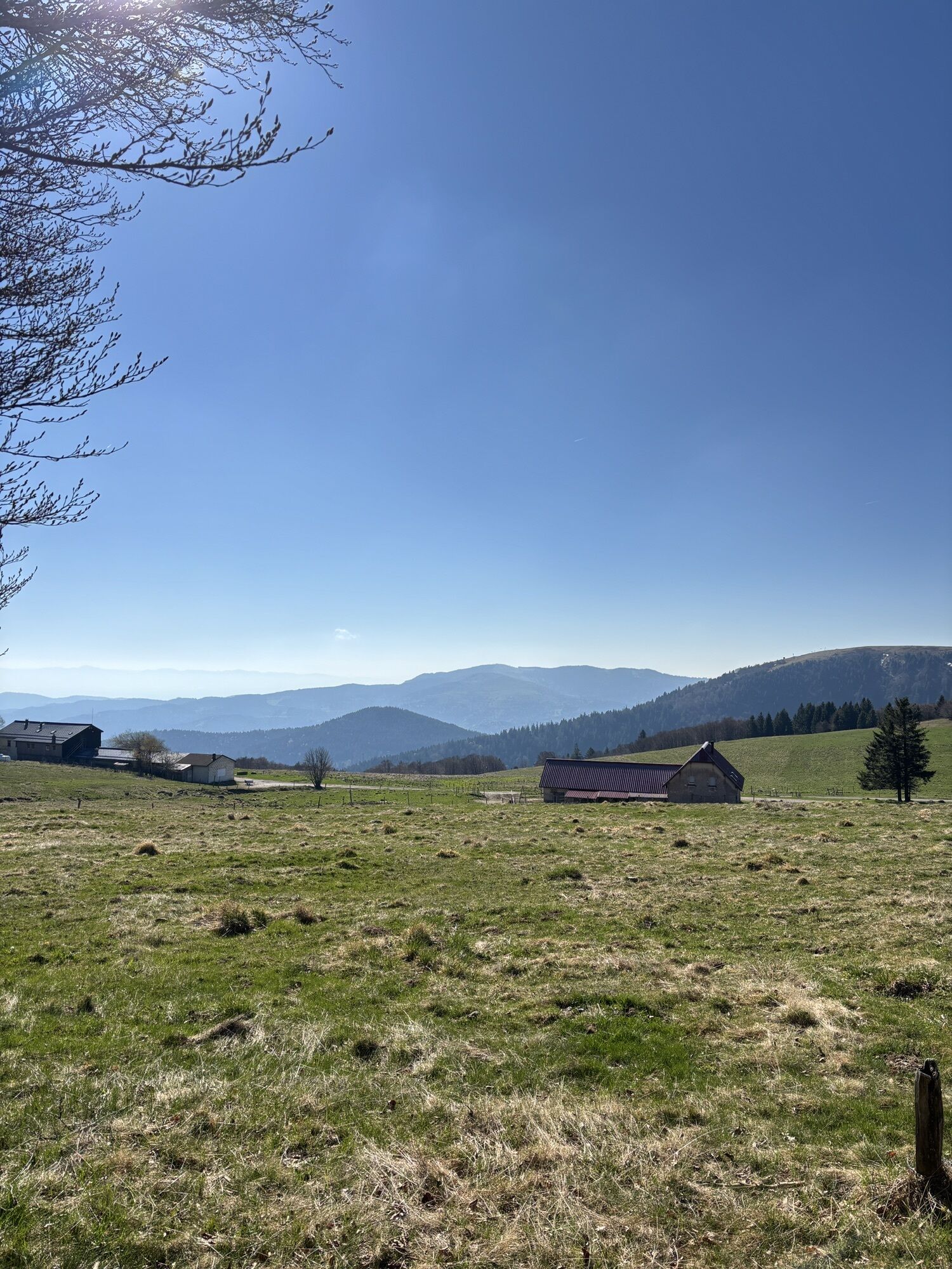
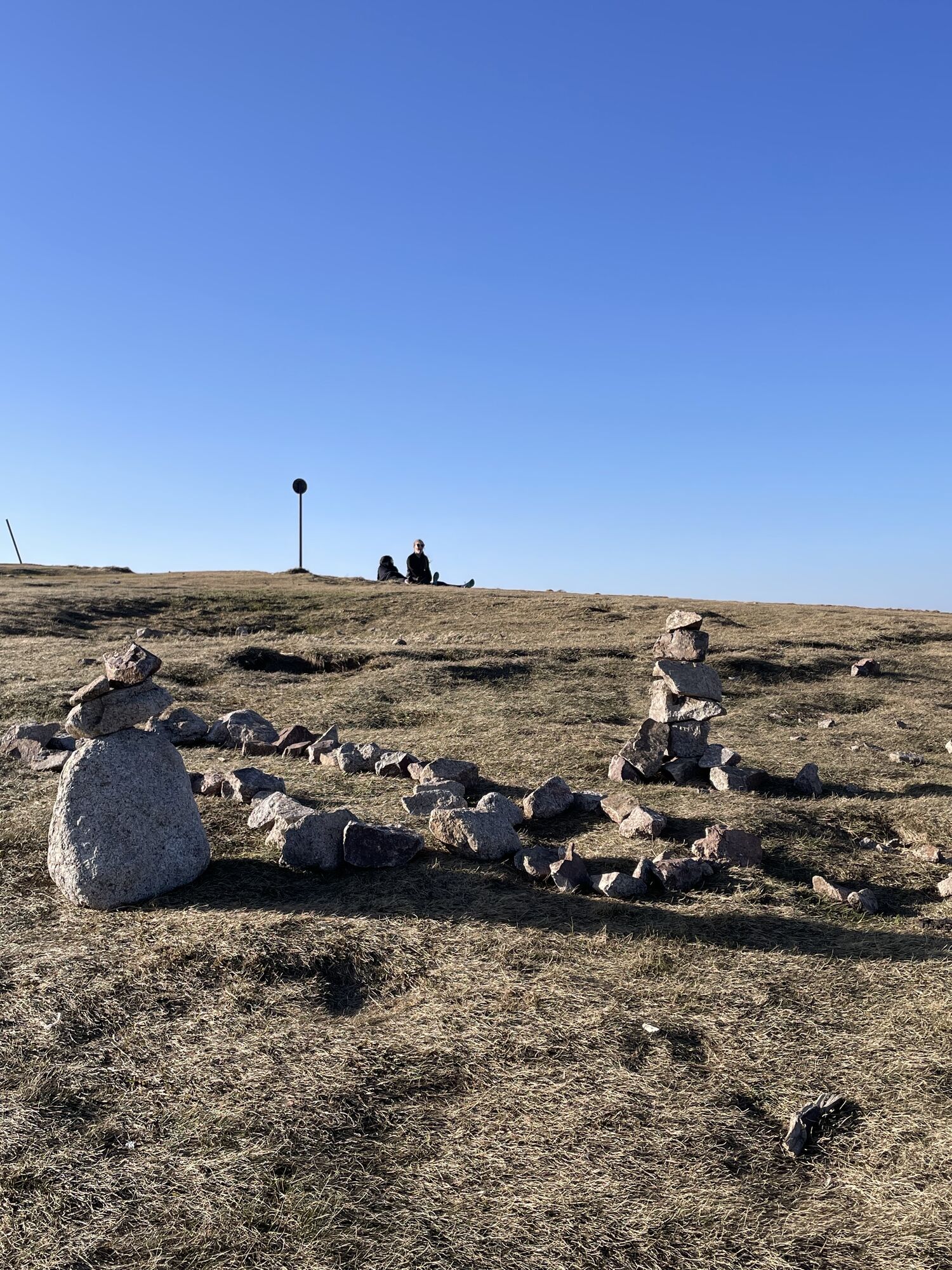
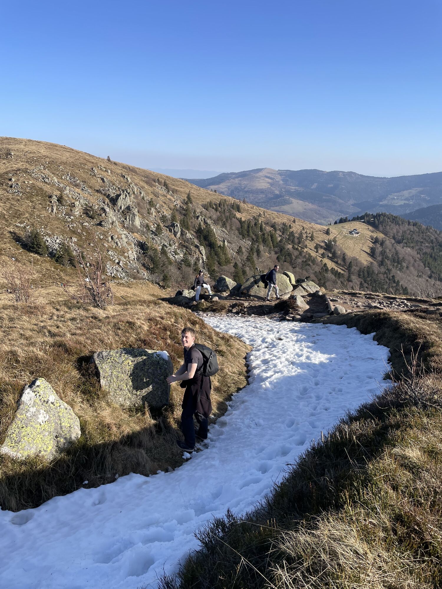
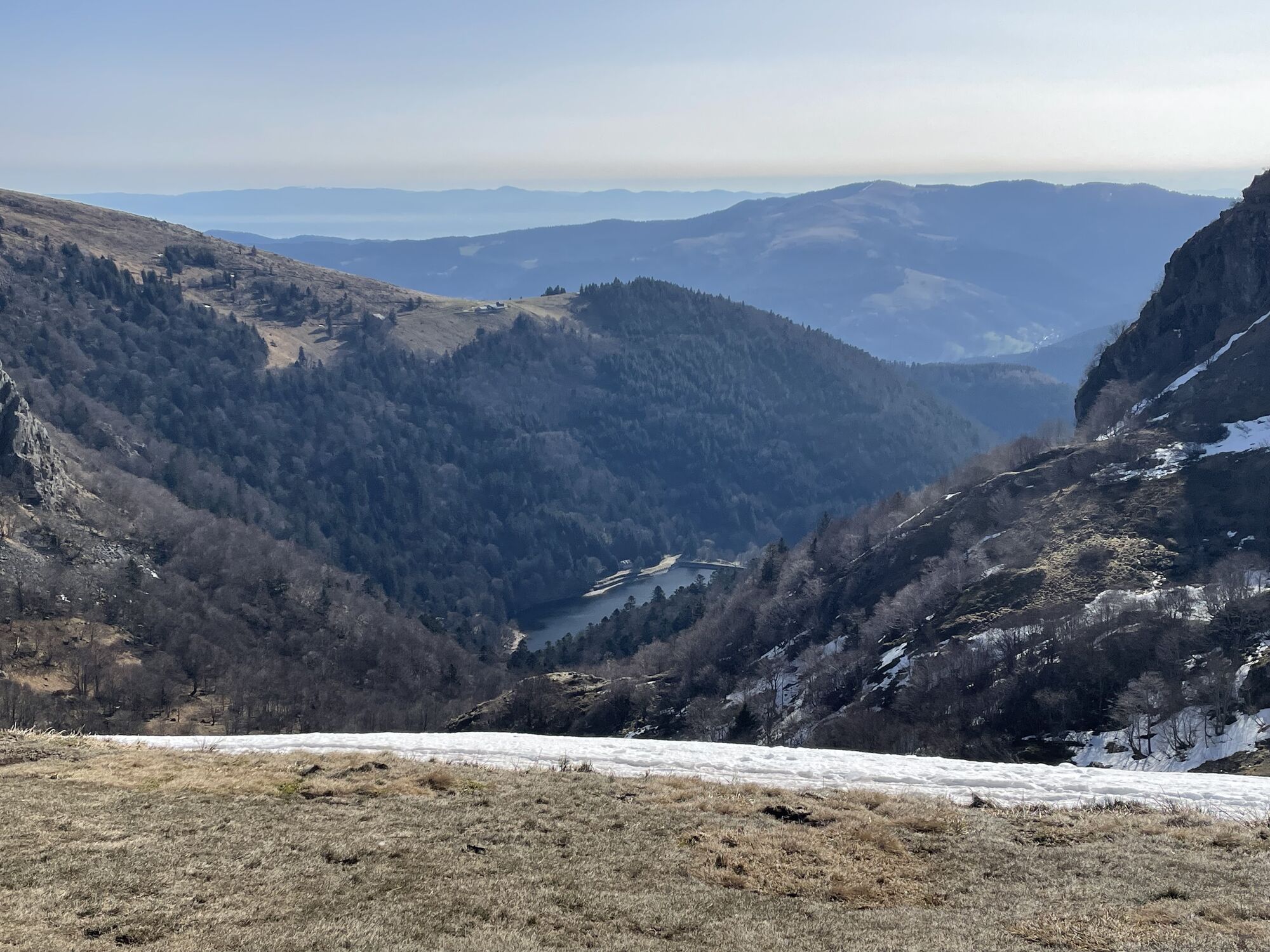
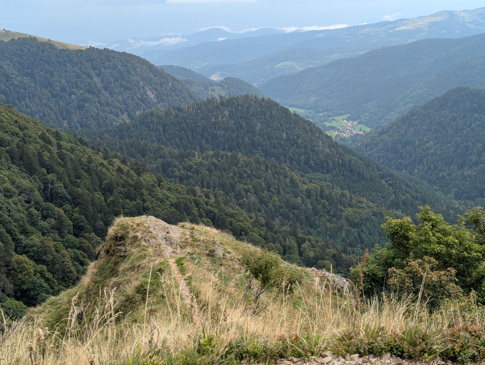
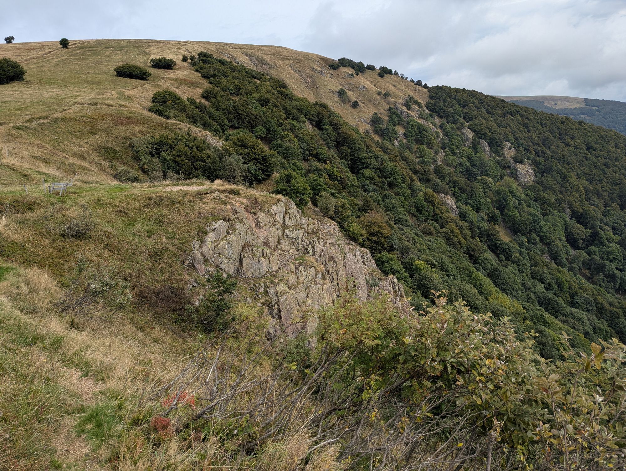
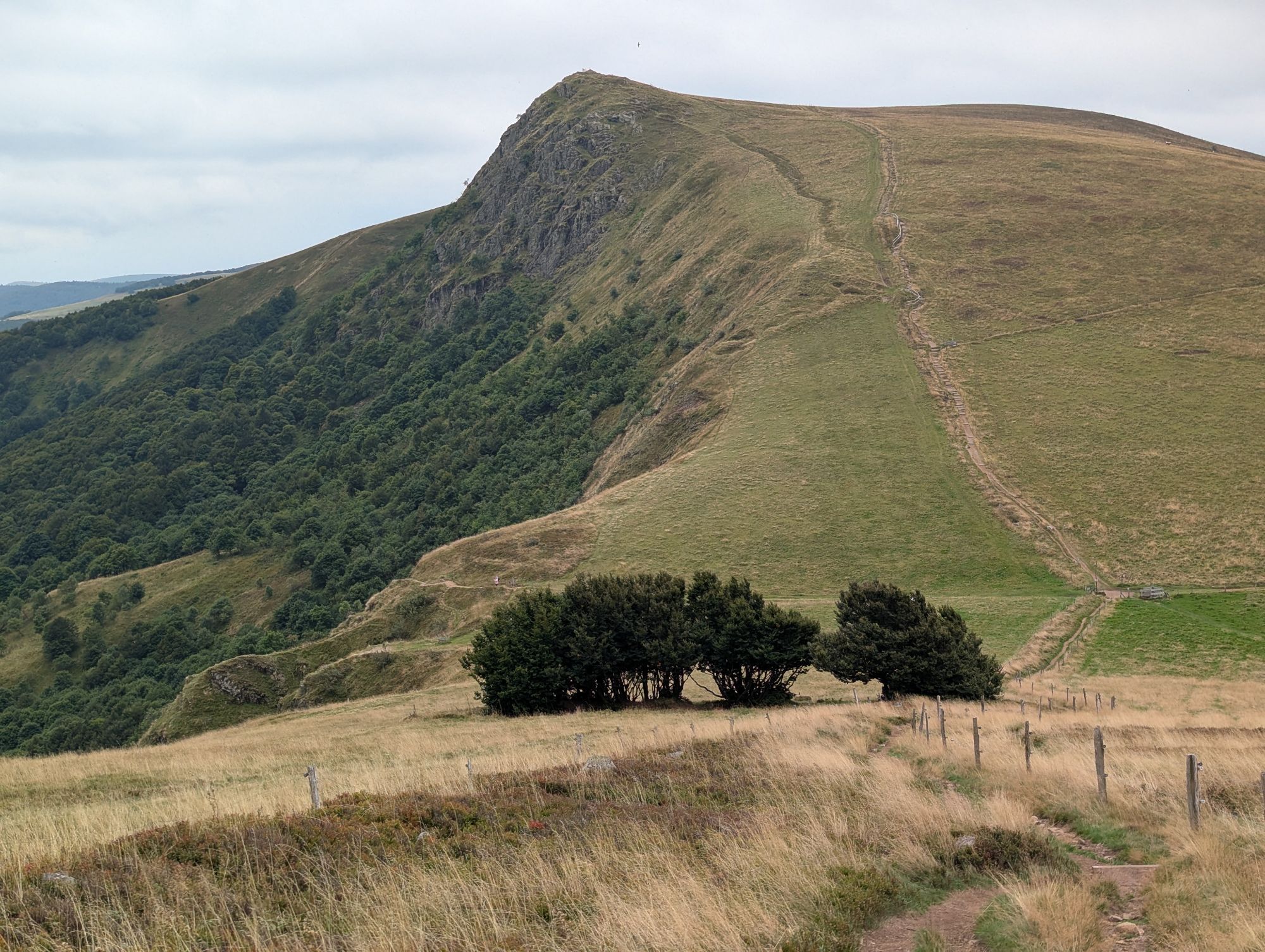
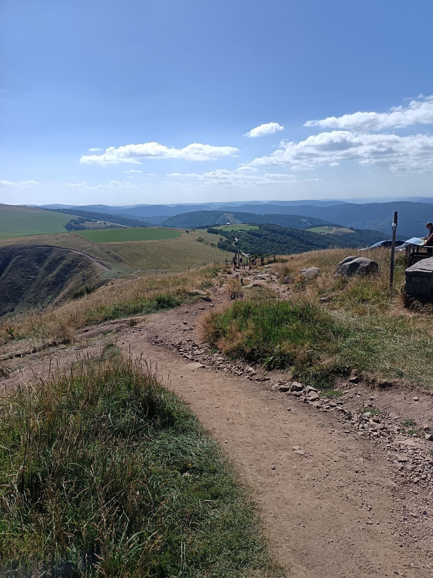
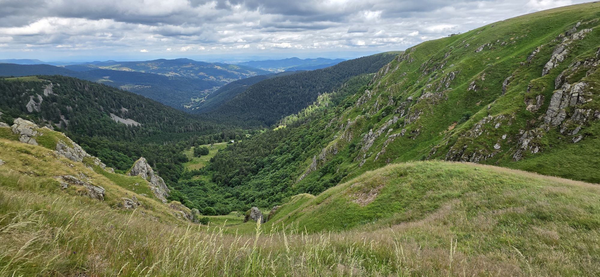
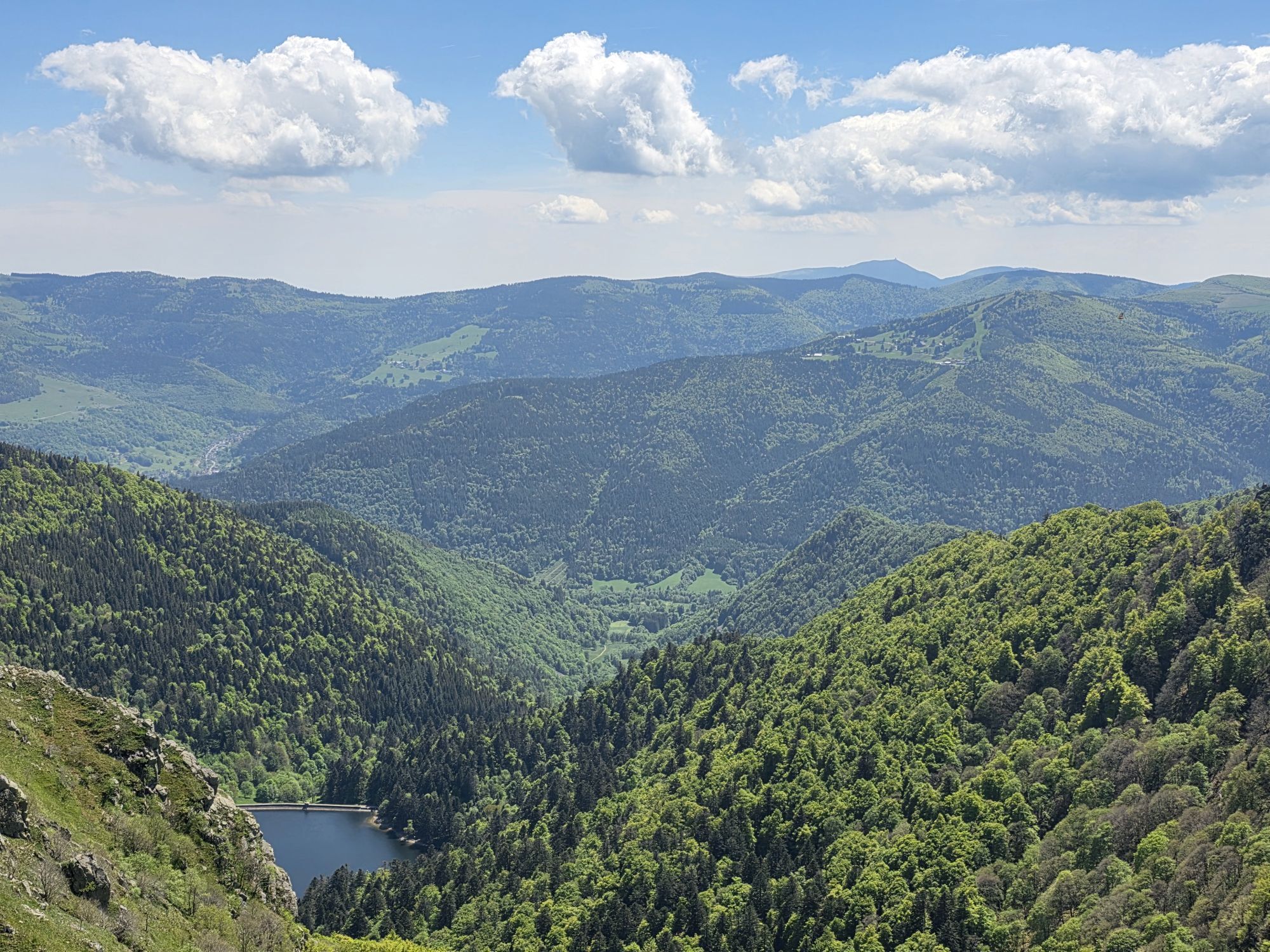
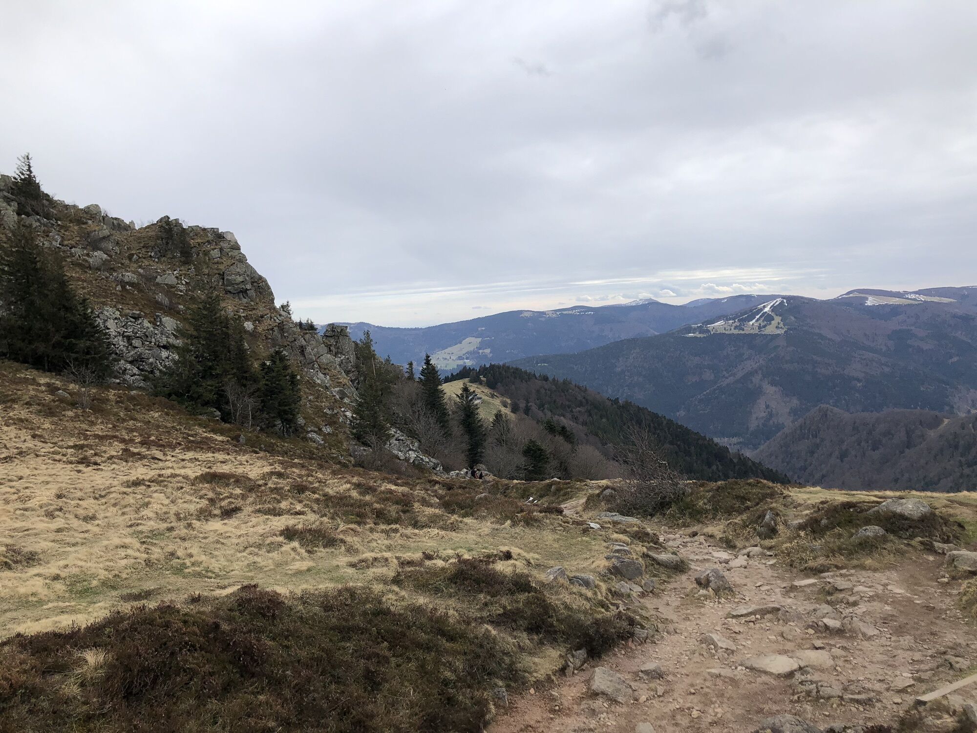
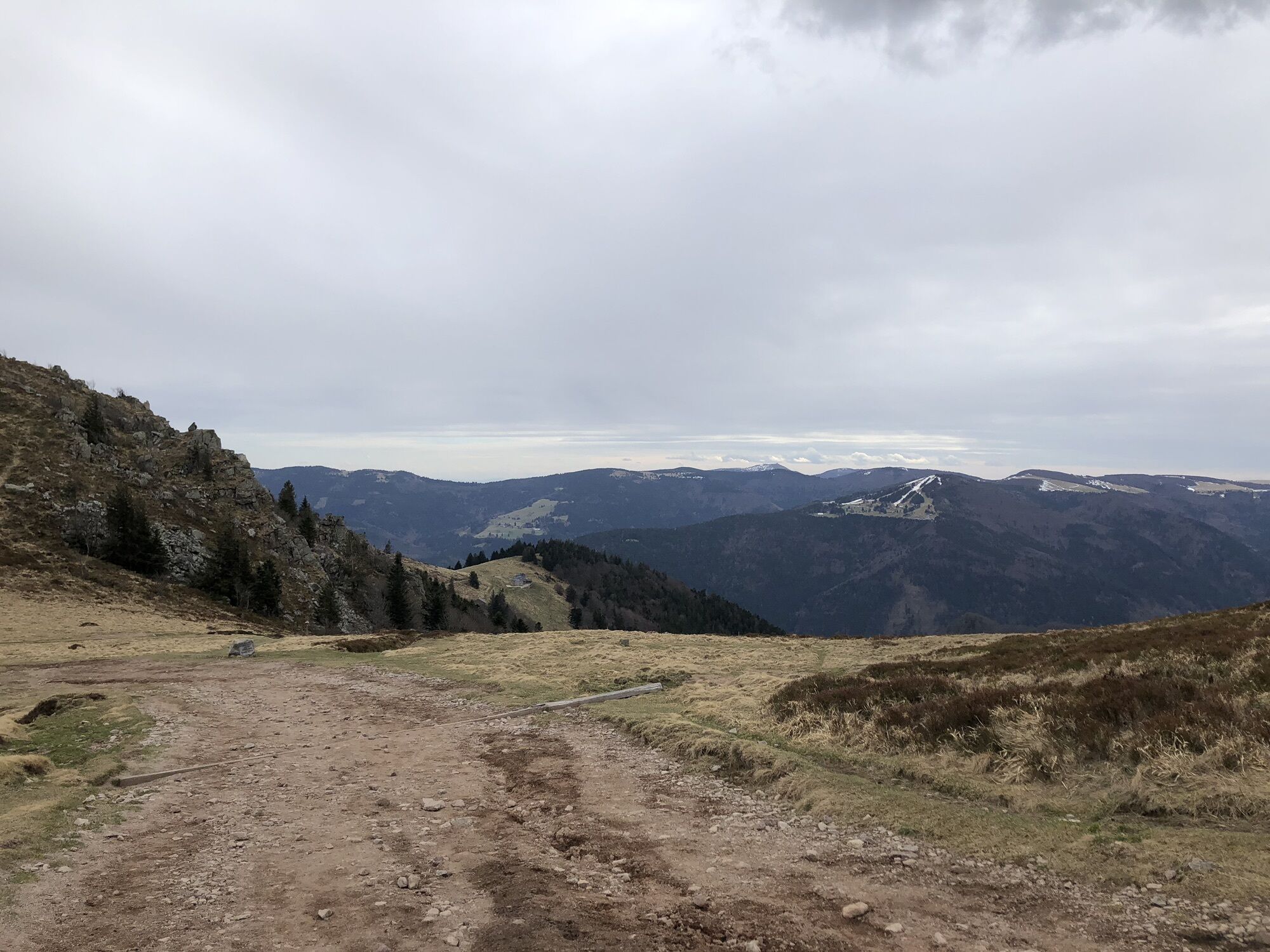
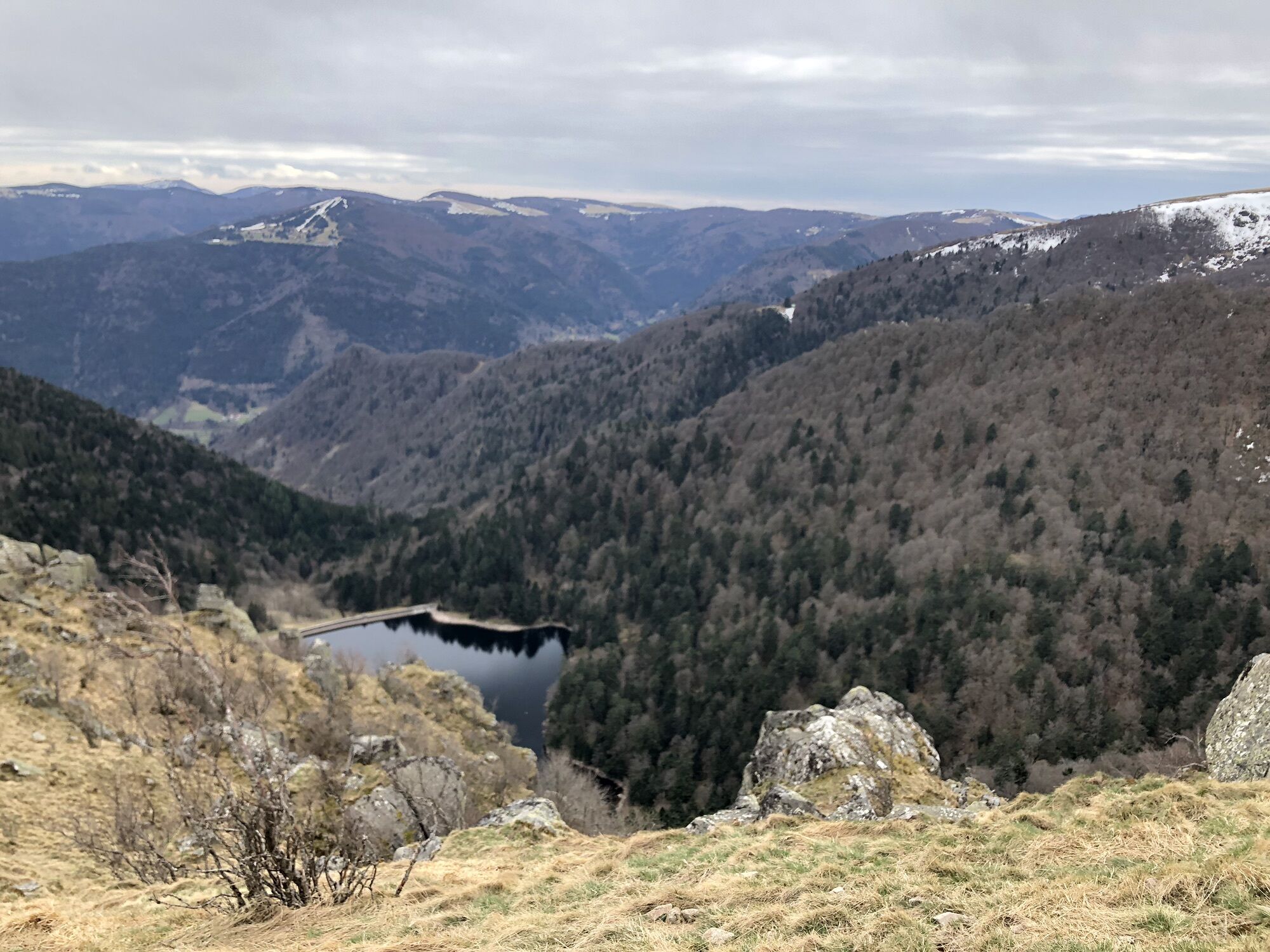
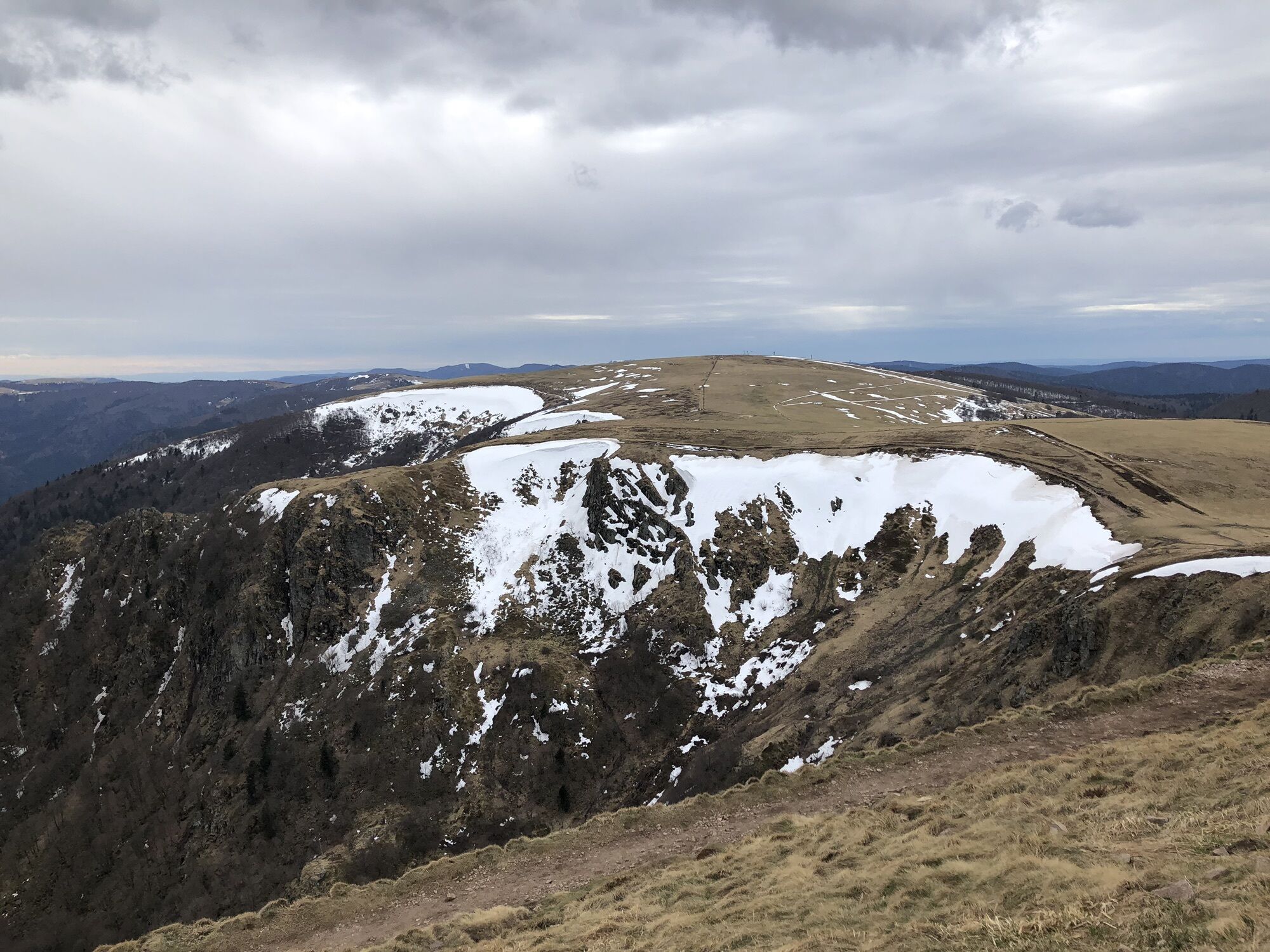
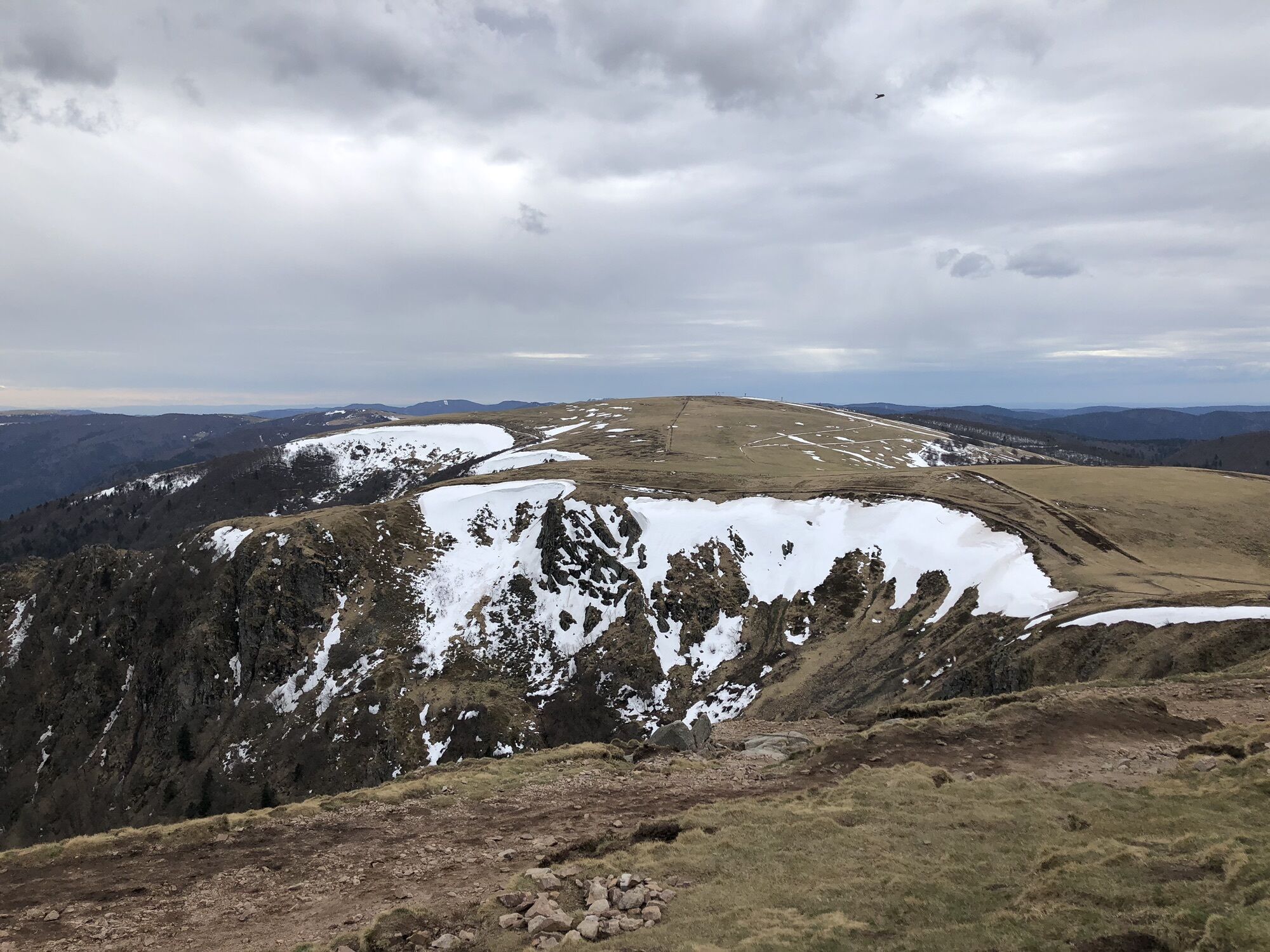
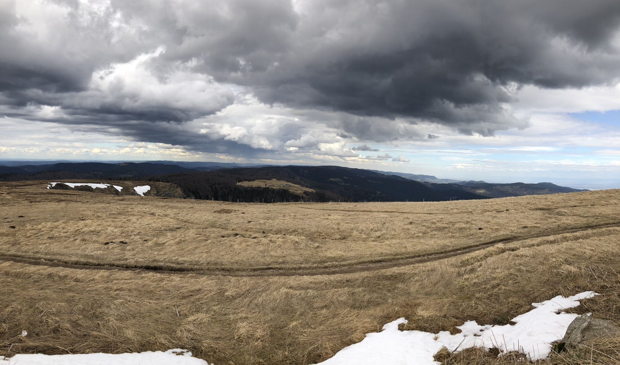
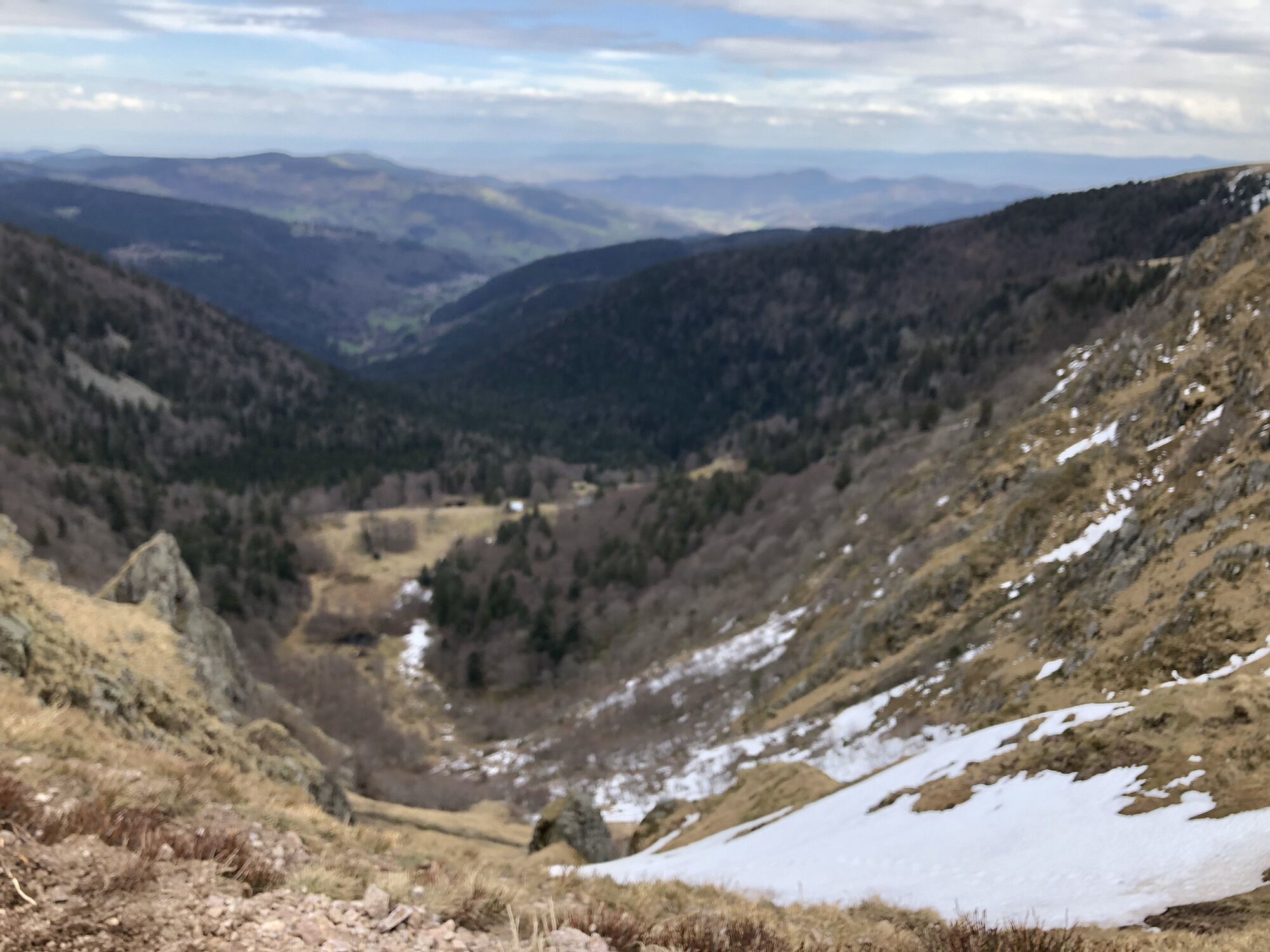
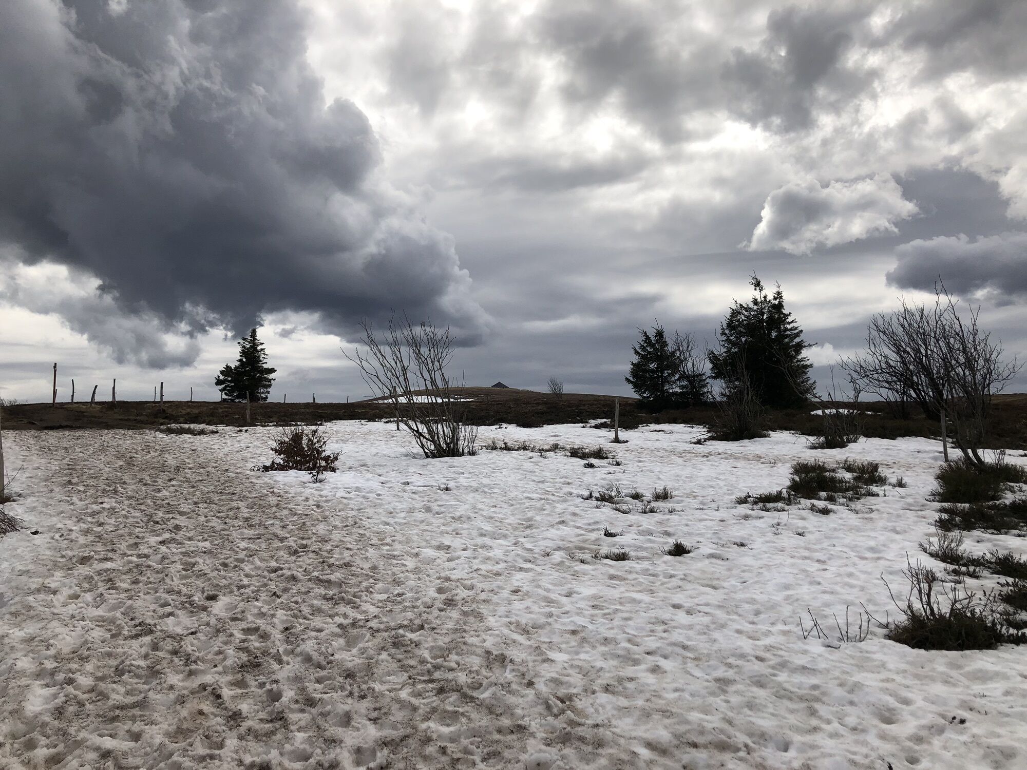
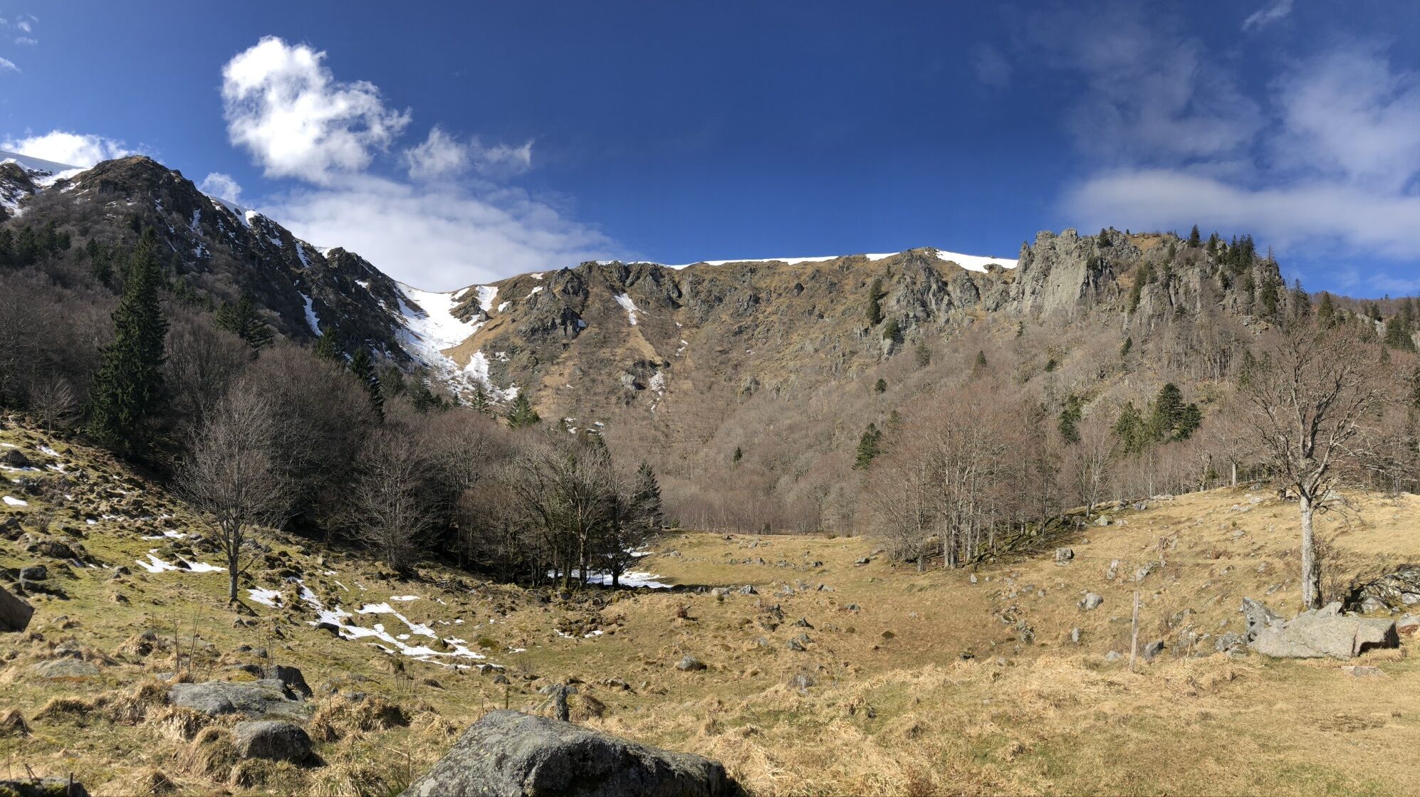
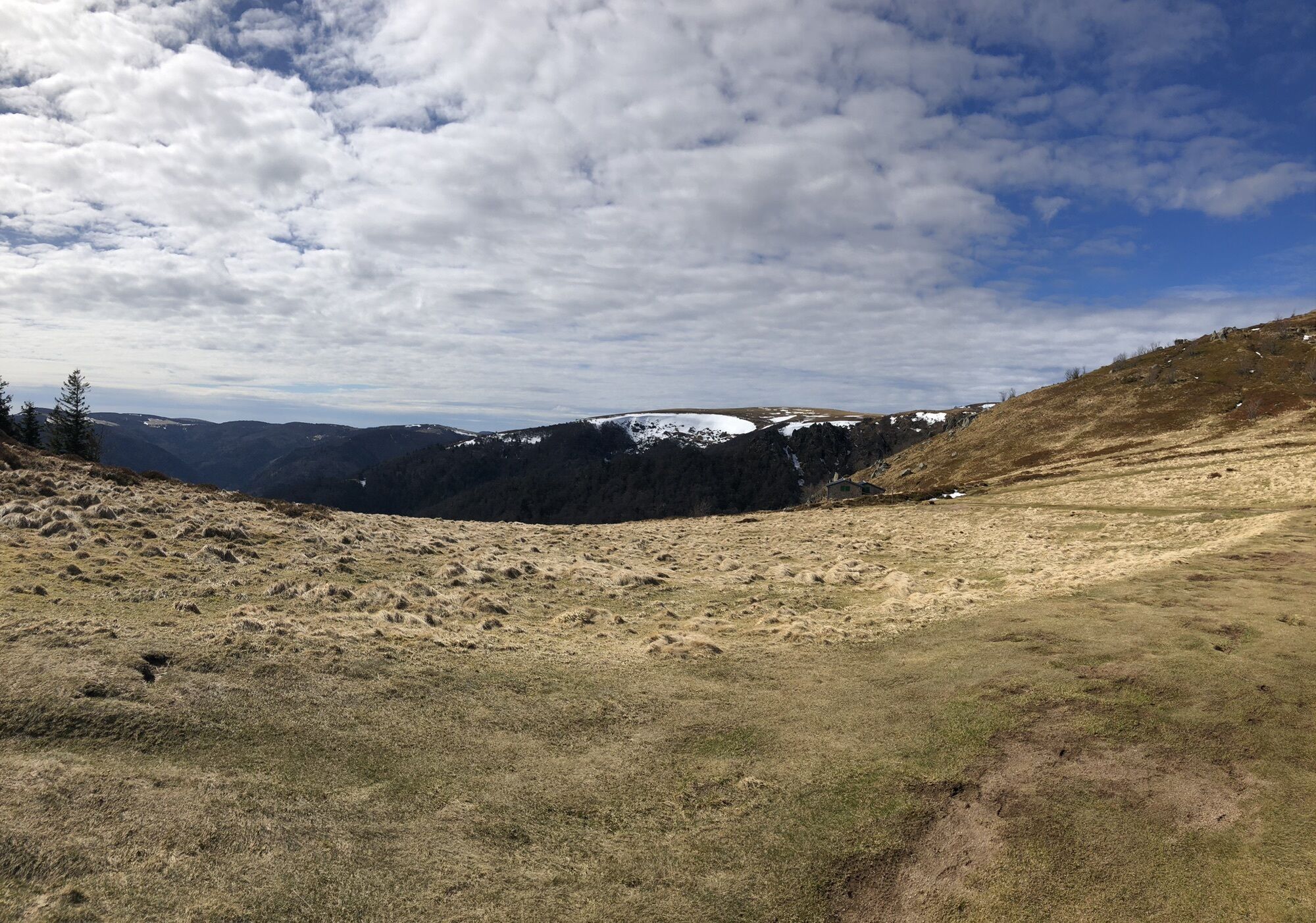
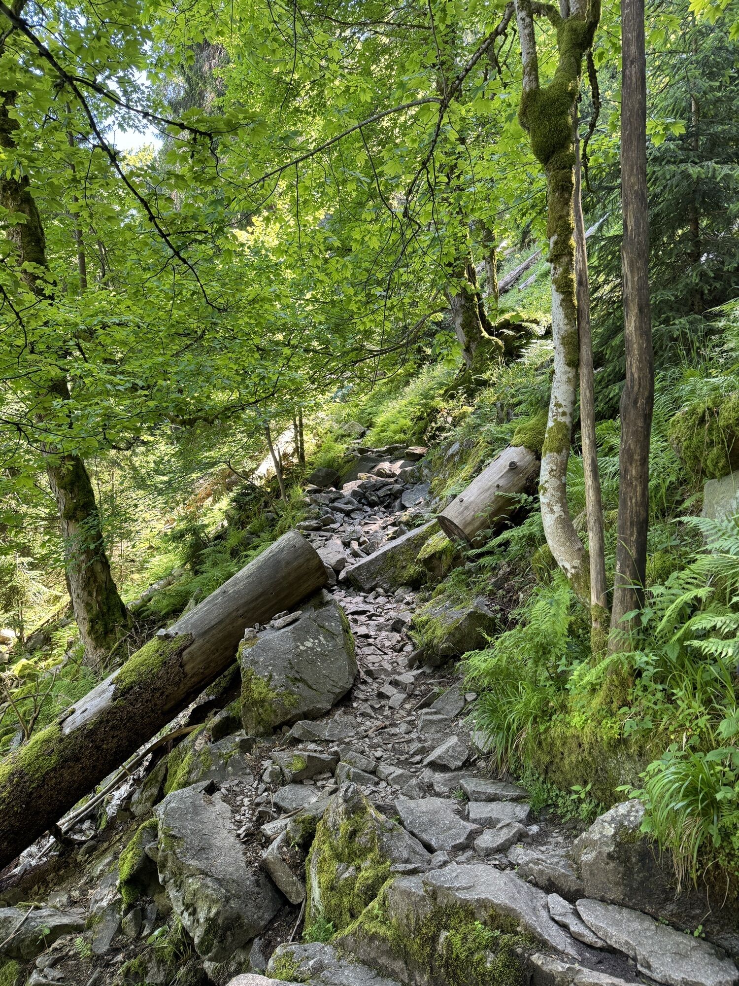
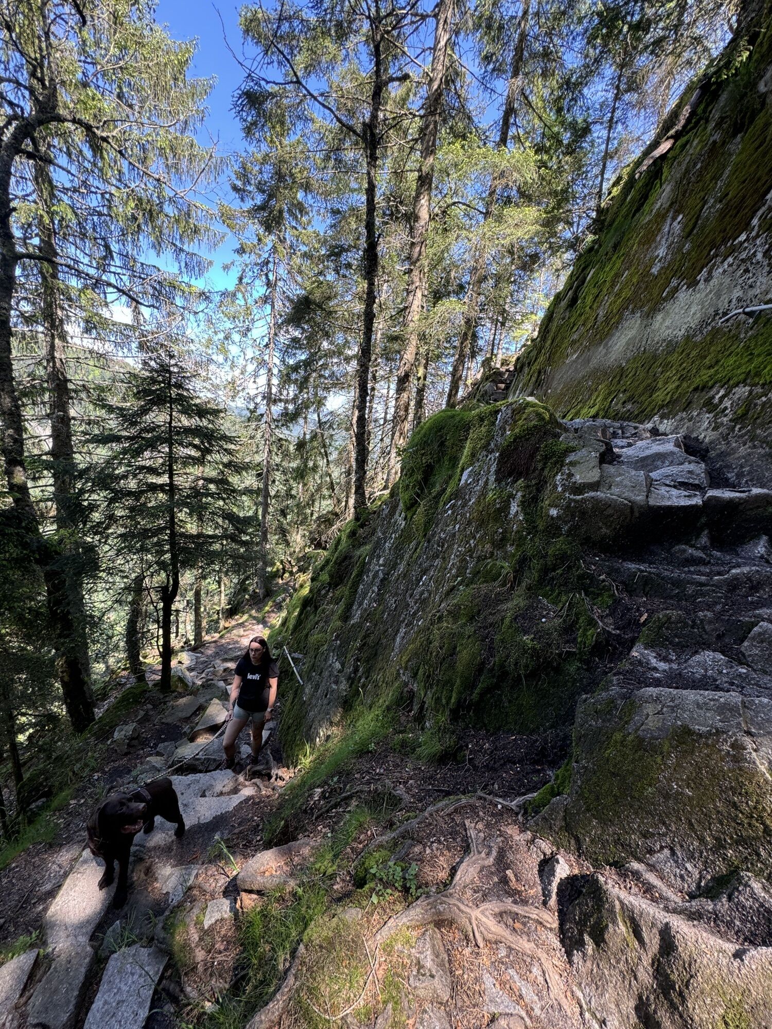
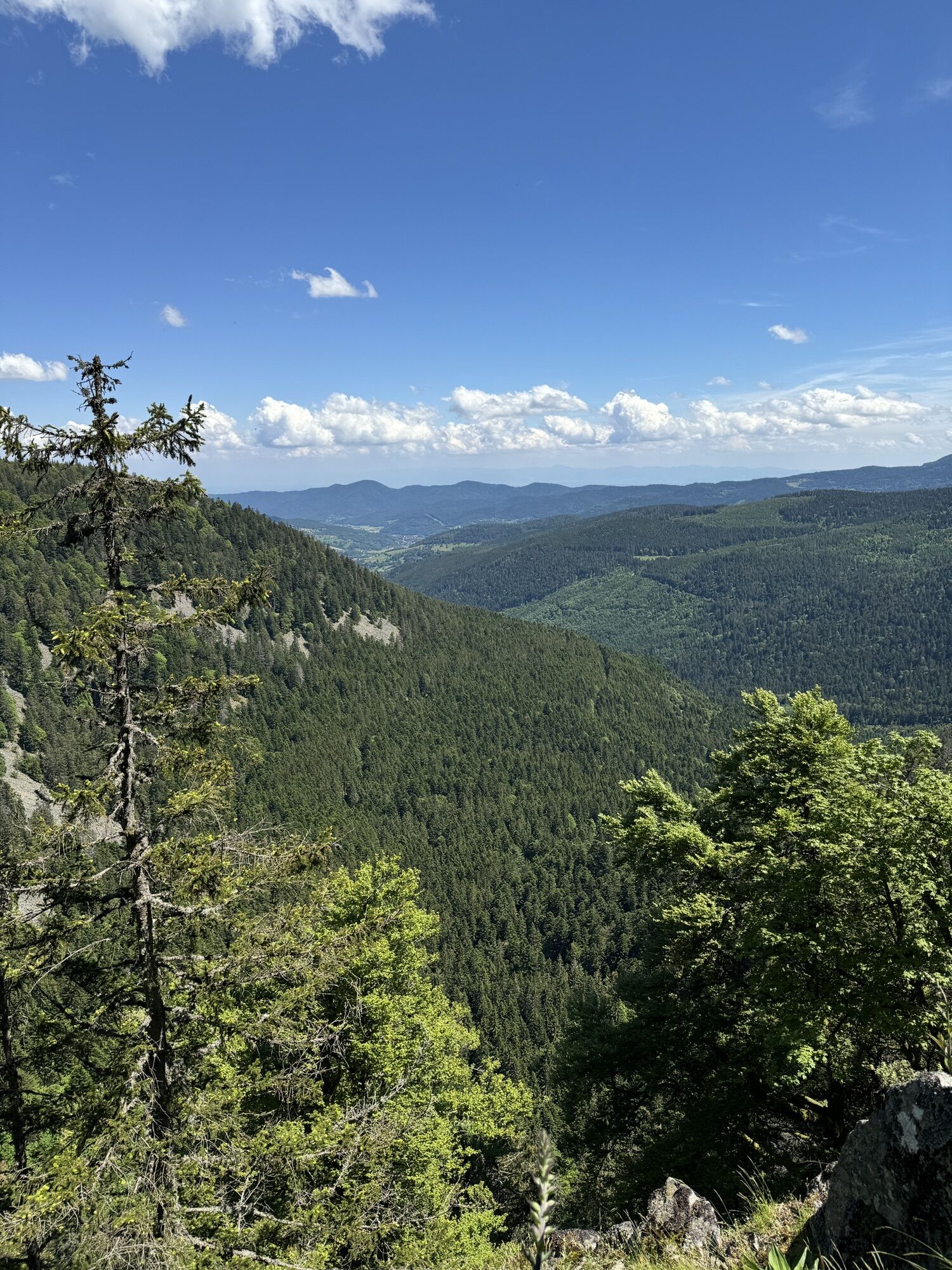
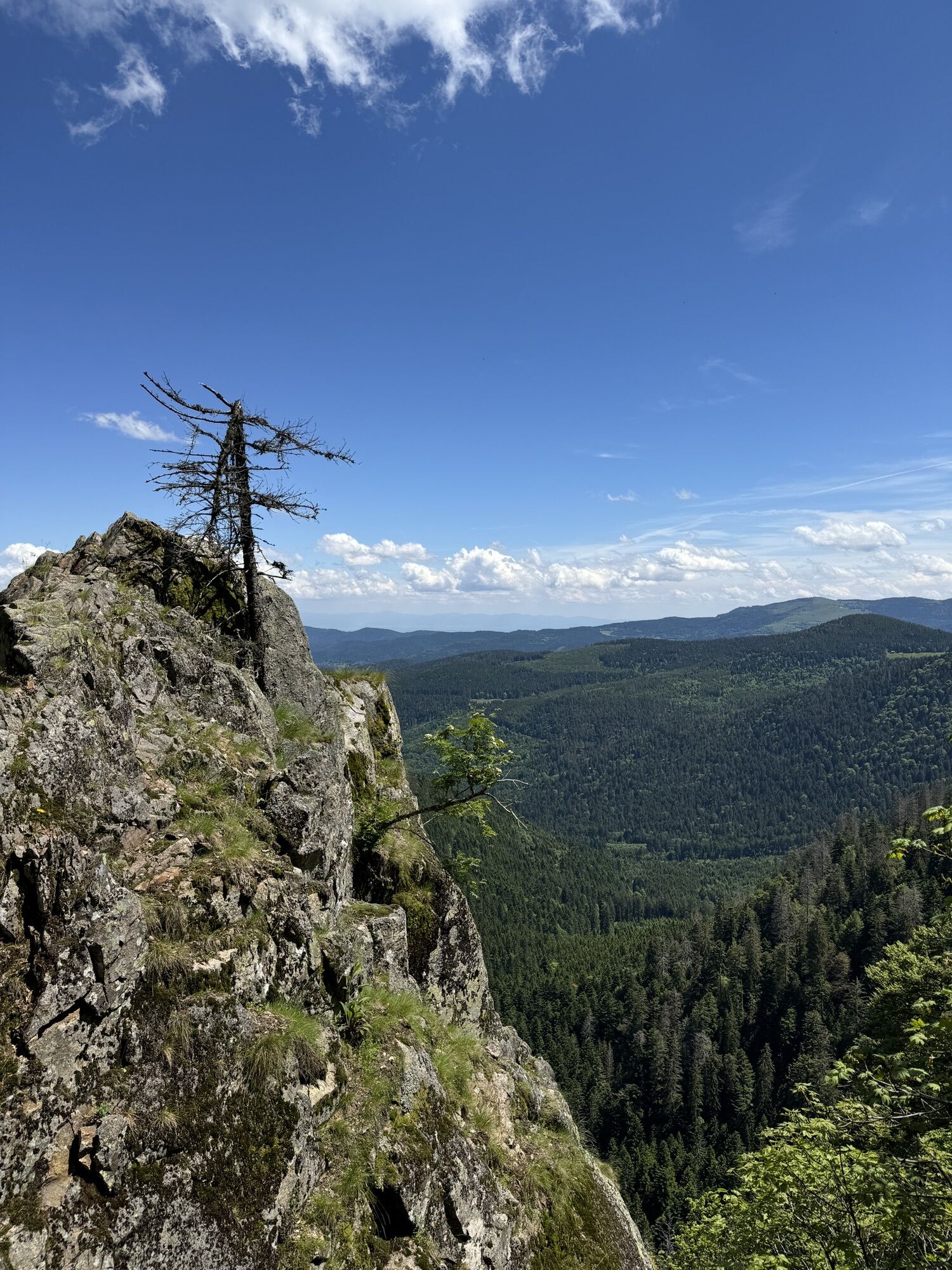
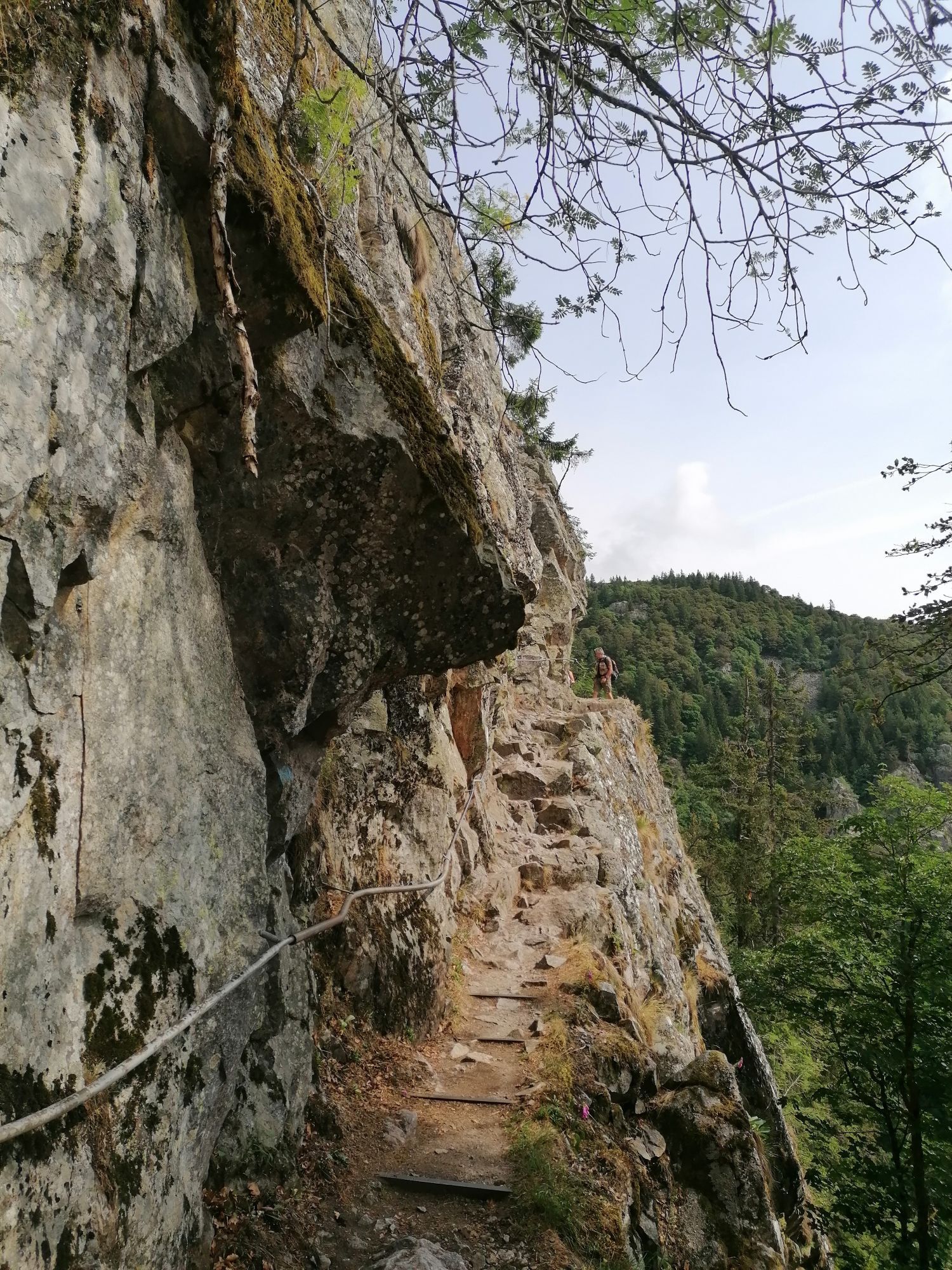
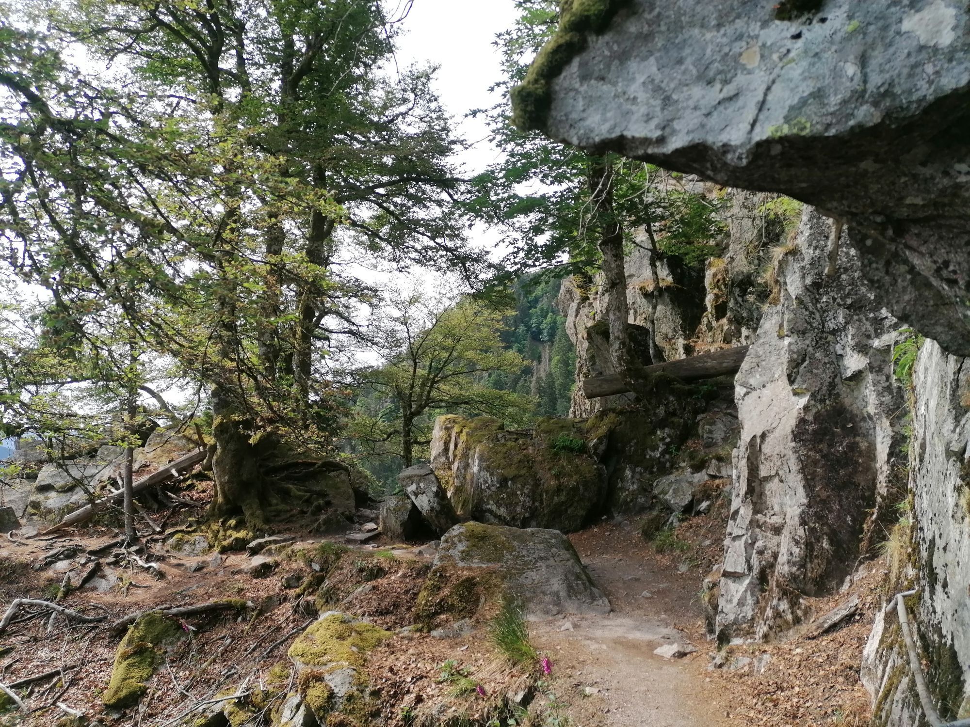
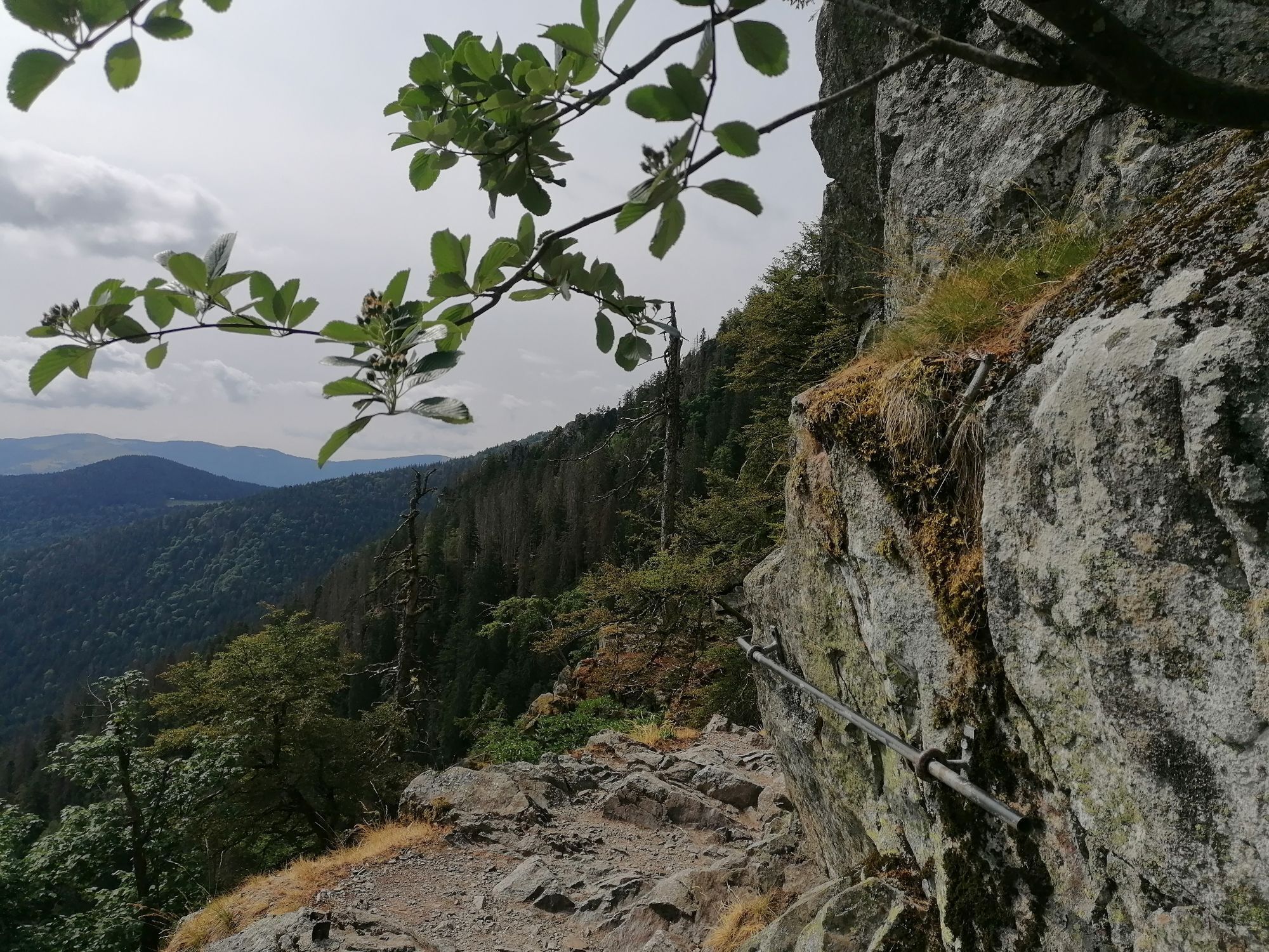
Auberge du Steinwasen - Rainkopf - Hohneck - Rothenbachkopf
difficile
Télécharge cette visite sur ton portable
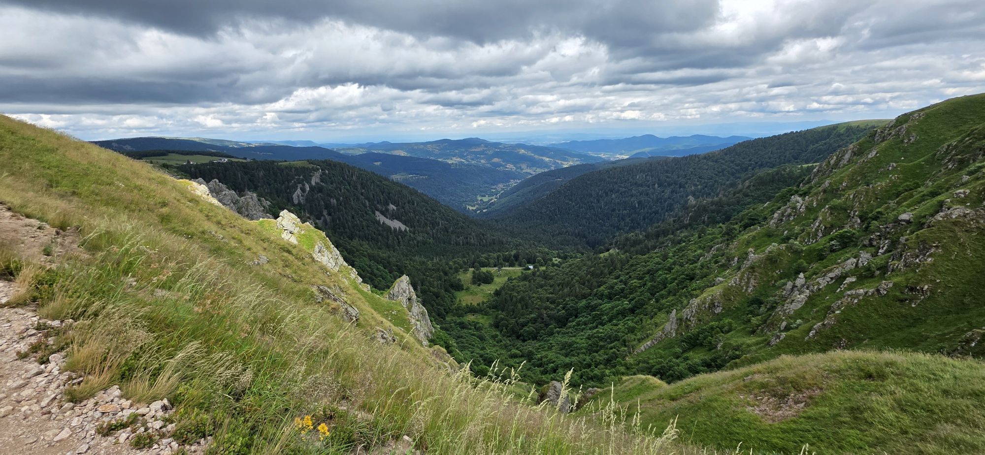
Auberge du Steinwasen - Rainkopf - Hohneck - Rothenbachkopf
difficile
Randonnée
27,43
km
Scanner le code QR et commencer la navigation dans l'application bergfex

Randonnée & tracking


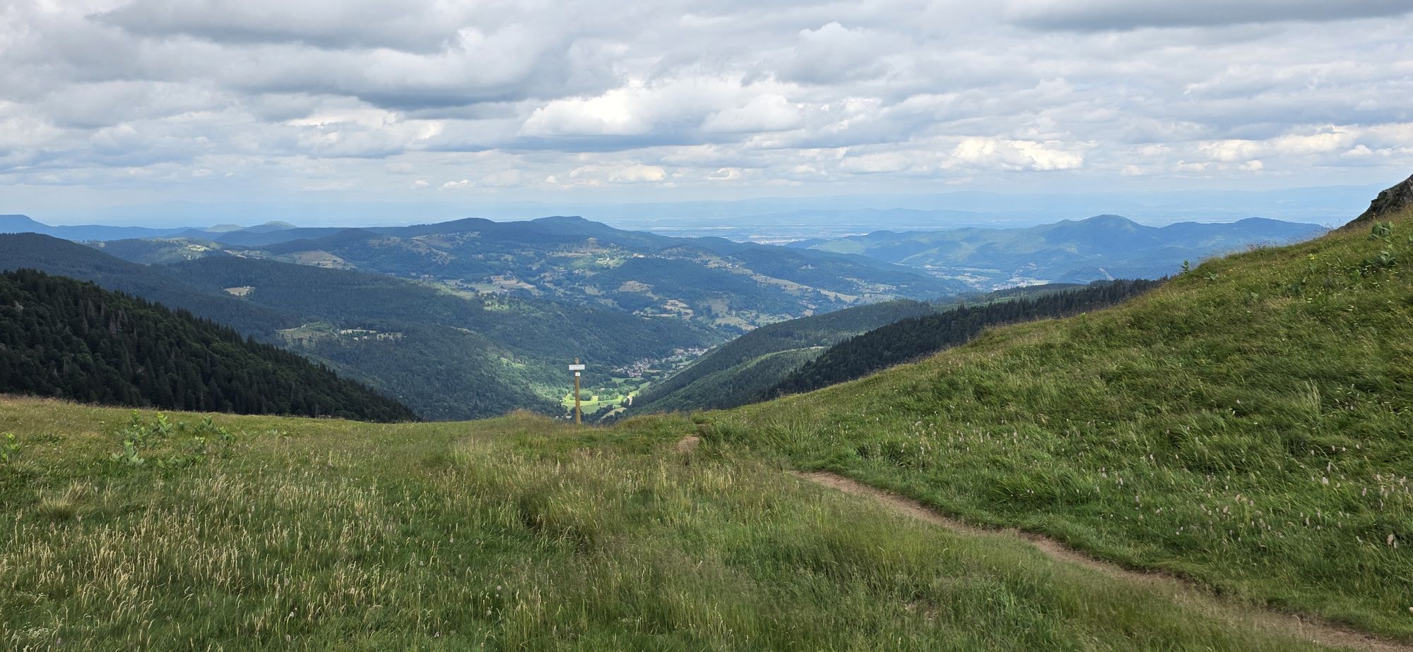
Auberge du Steinwasen - Rainkopf - Hohneck - Rothenbachkopf
difficile
Distance
27,43
km
Durée
08:58
h
Ascension
1.455
m
Altitude
923 -
1.361
m
Téléchargement de la piste
Auberge du Steinwasen - Rainkopf - Hohneck - Rothenbachkopf
difficile
Randonnée
27,43
km

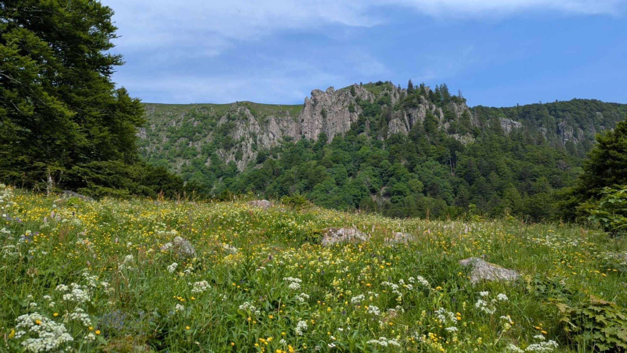
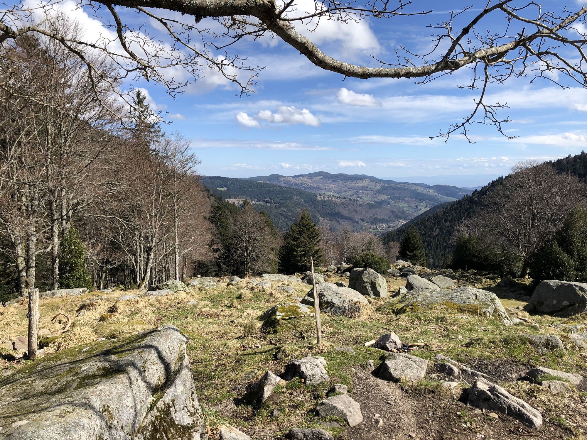
Parcours
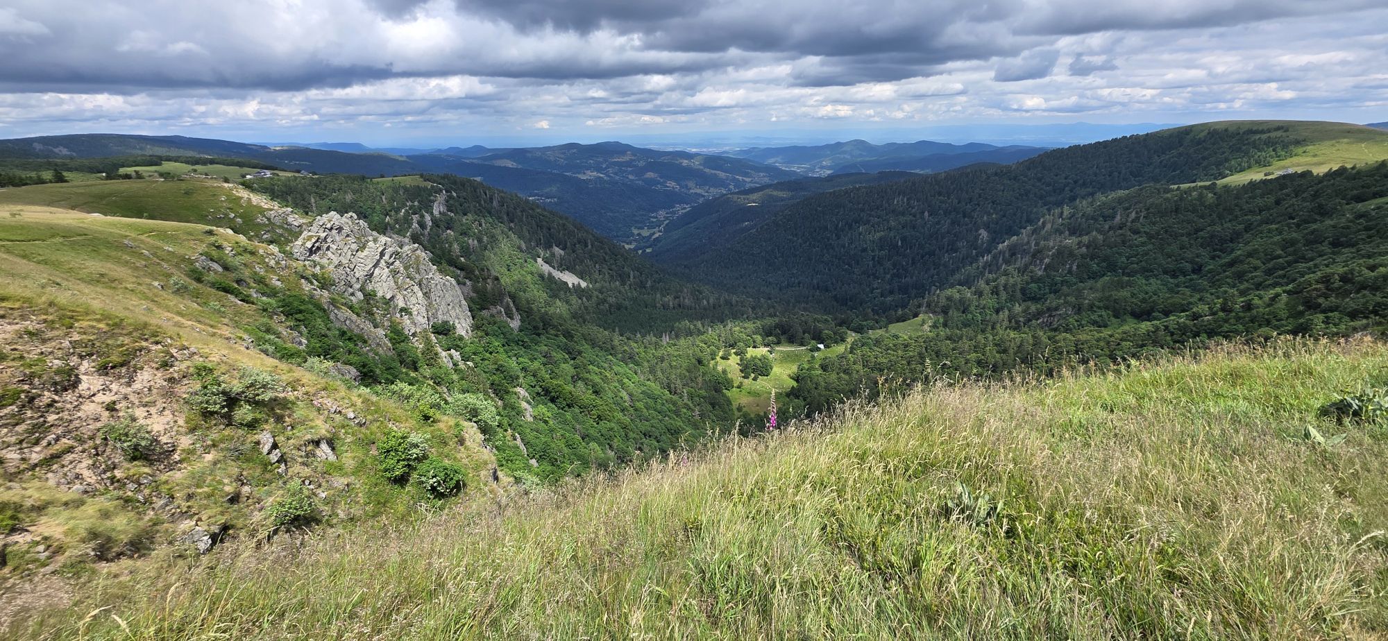
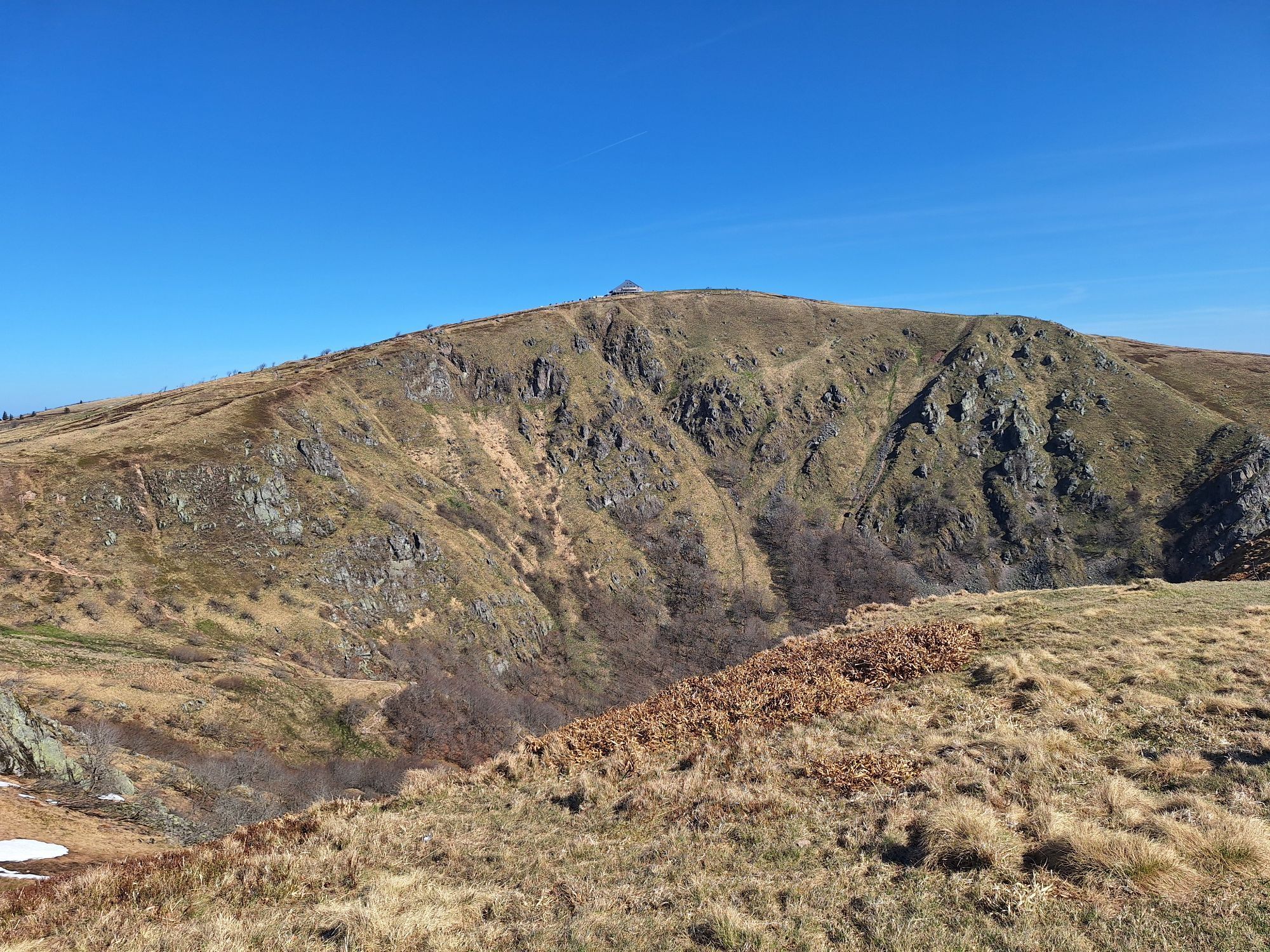
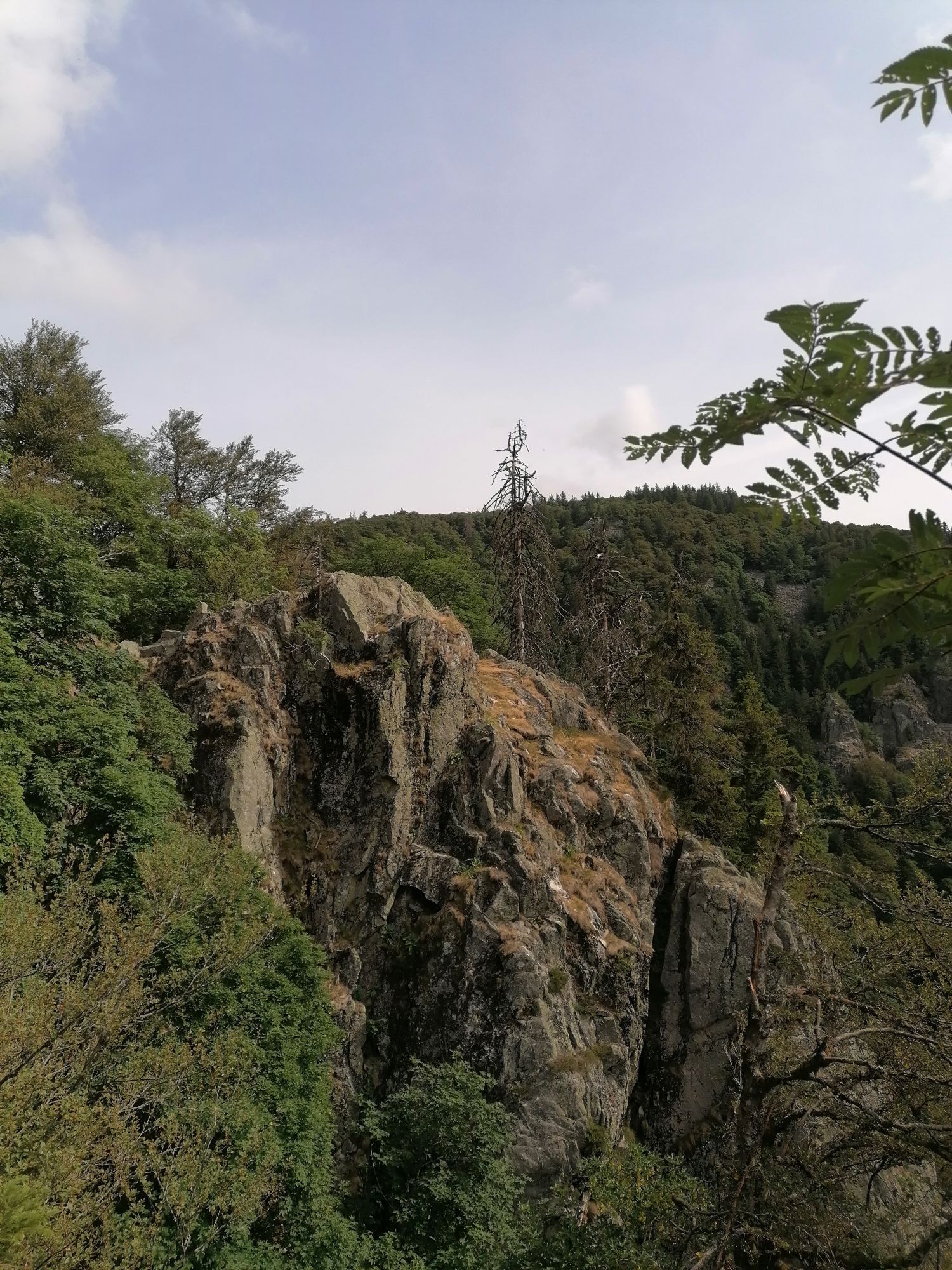
Rainkopf
(1.305 m)
Sommet
2,2 km
Col du Wormspel
(1.280 m)
Selle de montagne
10,2 km
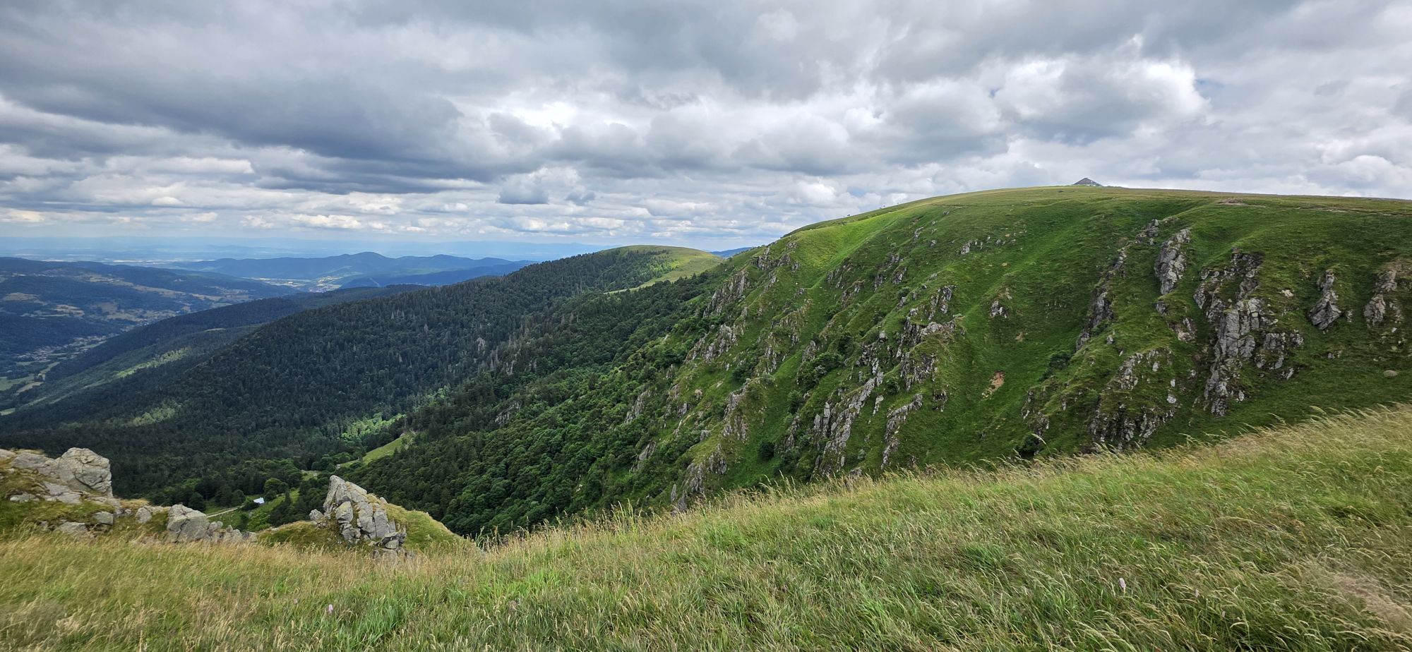
Hohneck
(1.363 m)
Sommet
11,0 km
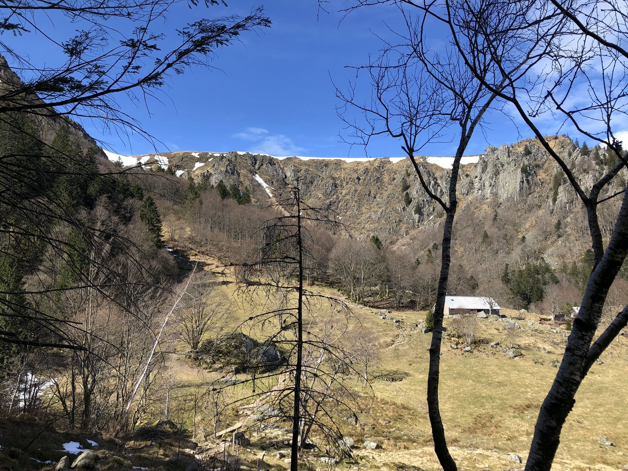
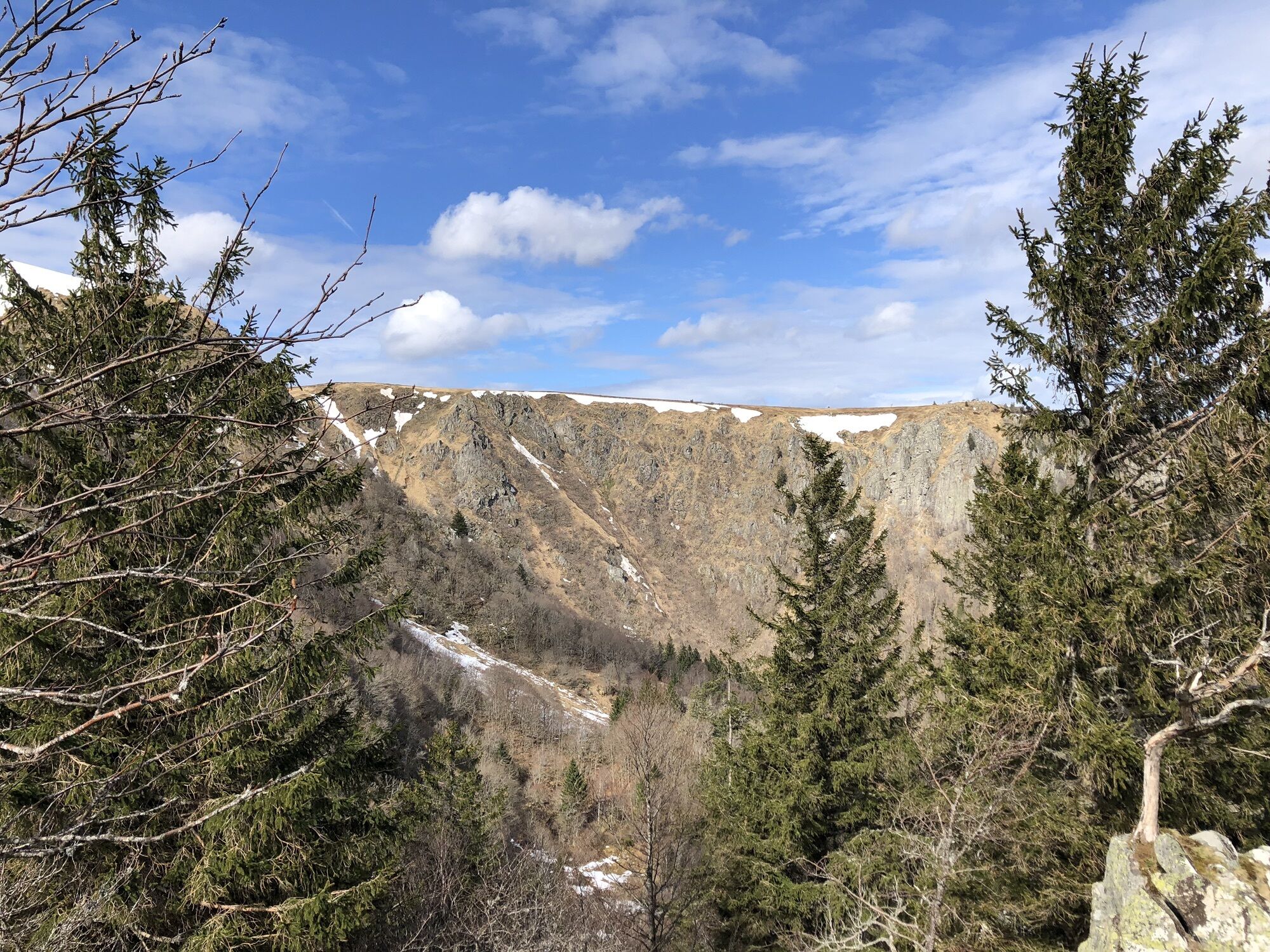
Frankenthal
(1.024 m)
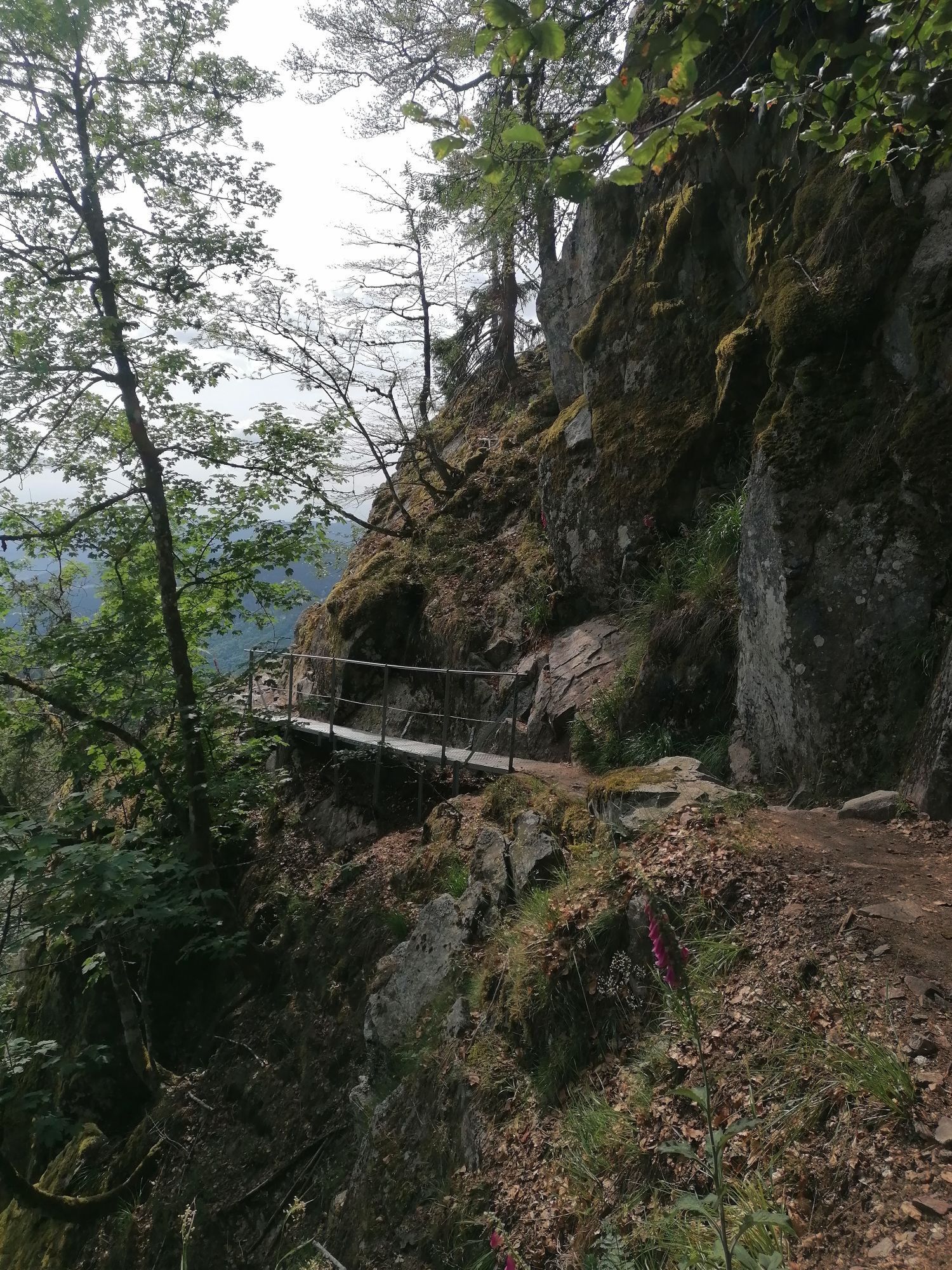
Couloir/terrain
13,2 km
Col du Wormspel
(1.280 m)
Selle de montagne
21,1 km
Collet du Rainkopf
(1.192 m)
Selle de montagne
24,5 km
Rainkopf
(1.305 m)
Sommet
25,2 km
Rothenbachkopf
(1.316 m)
Sommet
26,3 km
Parcours
Auberge du Steinwasen - Rainkopf - Hohneck - Rothenbachkopf
difficile
Randonnée
27,43
km
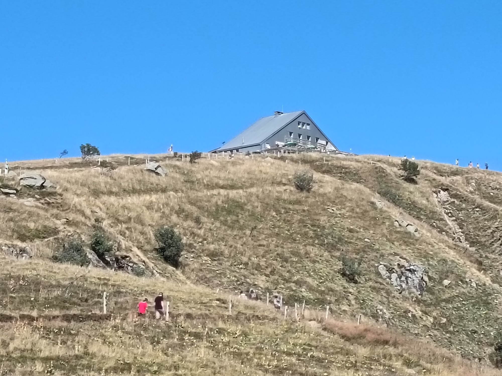
Auberge du Steinwasen
(1.139 m)
Restaurant
0,0 km
Steinwasen
(1.141 m)
Couloir/terrain
0,0 km
Col du Rothenbach
(1.205 m)
Selle de montagne
1,6 km
Rainkopf
(1.305 m)
Sommet
2,2 km
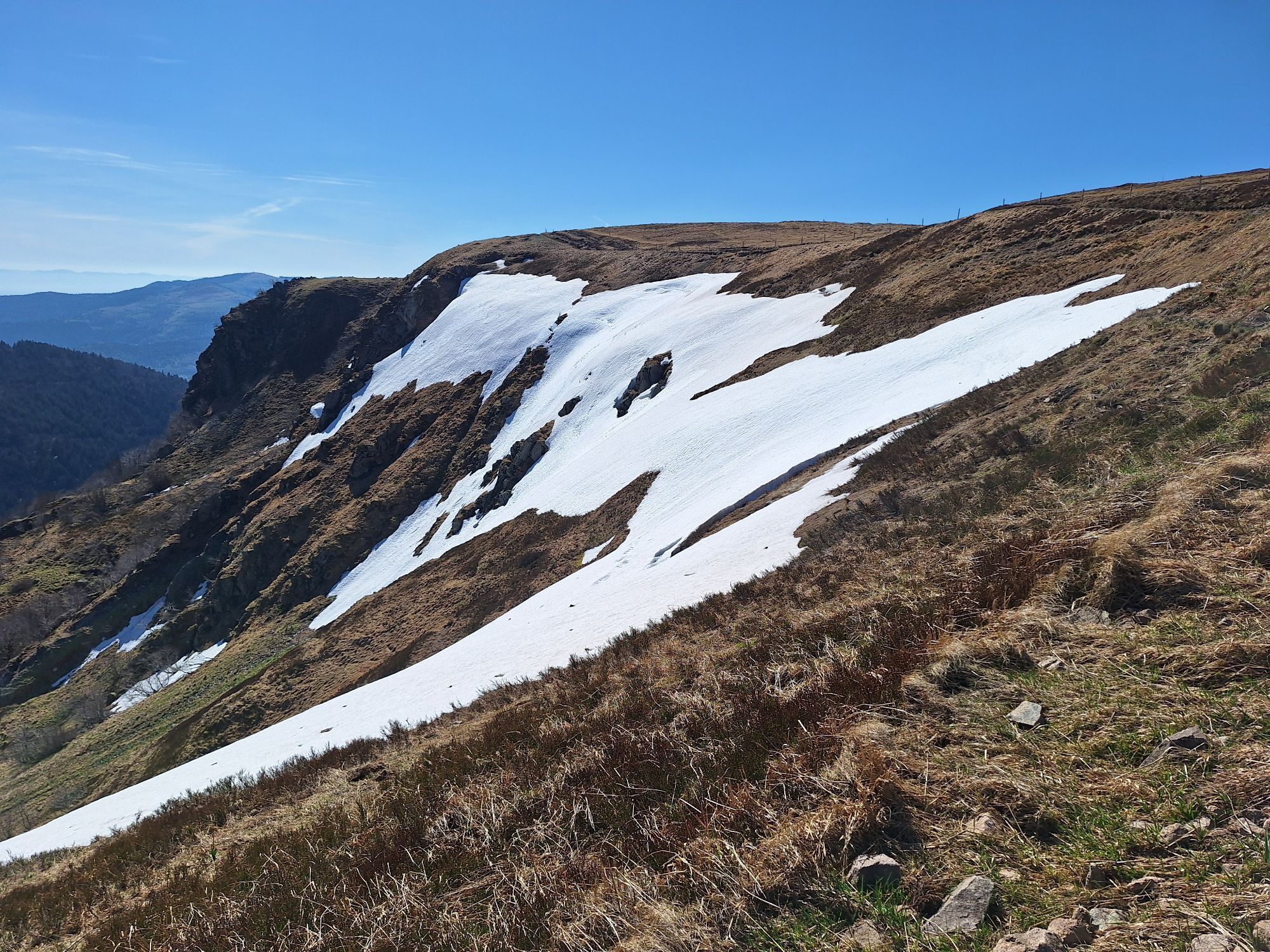
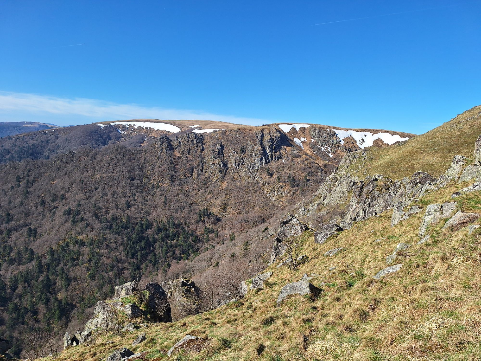
Nevé du Schwalbennest
(1.298 m)
Couloir/terrain
2,2 km
Am Rainkopf
(1.261 m)
Couloir/terrain
2,3 km
Kolbenwald
(1.036 m)
Couloir/terrain
3,3 km
Tagweidle
(1.225 m)
Couloir/terrain
7,0 km
Source de l'Ammelthal
(1.279 m)
Source
9,1 km
Col du Wormspel
(1.280 m)
Selle de montagne
10,2 km
Le Sommet du Hohneck
(1.361 m)
Restaurant
11,0 km
Hohneck
(1.363 m)
Sommet
11,0 km
La longue vue d'Alsace
(1.360 m)
Point de vue
11,1 km
Schaeferthal
(1.220 m)
Couloir/terrain
12,0 km
Marcairie du Frankenthal
(1.032 m)
Restaurant
13,1 km
Fontaine
(1.032 m)
Source
13,1 km
Frankenthal
(1.024 m)
Couloir/terrain
13,2 km
Krappenfels
(1.025 m)
Couloir/terrain
14,6 km
Hôtel - Restaurant du Chalet
(1.139 m)
Restaurant
17,1 km
Le tétras bistrot
(1.140 m)
Restaurant
17,2 km
La Schlucht
(1.140 m)
Lotissement
17,2 km
Brasserie de la Schlucht
(1.139 m)
Restaurant
17,2 km
Col du Wormspel
(1.280 m)
Selle de montagne
21,1 km
Fontaine de la Duchesse
(1.280 m)
Source
21,6 km
Ferme Auberge Breitzhousen
(1.249 m)
Restaurant
22,9 km
Collet du Rainkopf
(1.192 m)
Selle de montagne
24,5 km
Nevé du Schwalbennest
(1.298 m)
Couloir/terrain
25,2 km
Rainkopf
(1.305 m)
Sommet
25,2 km
Col du Rothenbach
(1.205 m)
Selle de montagne
25,8 km
Rothenbachkopf
(1.316 m)
Sommet
26,3 km
Auberge du Steinwasen
(1.139 m)
Restaurant
27,4 km
Pas encore d'évaluation
Parcours populaires à proximité
- 4,3
Circuit rando - le tour des 3 lacs
moyenRandonnée 12,7 km - 5,0
Le tétras bistrot - Hohneck - Chapelle Notre-Dame-des-Chaumes - Brasserie de la Schlucht
difficileRandonnée 10,7 km Vogesen Col de la Schlucht
difficileRandonnée 19,3 km- 4,3
Tour du Lac du Gérardmer
facileRandonnée 5,49 km Tour du Grand Ballon en 3 jours
difficileChemin de Grande Randonnée 54,2 kmTour de l'Altenweiher et Rainkopf, Mittlach, France
moyenRandonnée 12,6 km- 4,7
Balade Longemer Col des Feignes
moyenRandonnée 8,83 km - 5,0
Circuit de randonnée : Les cascades de la Wormsa et le lac du Fischboedle
moyenRandonnée 8,15 km Traversée du Massif des Vosges - Etape 15 - Col de la Schlucht - Le Markstein
difficileChemin de Grande Randonnée 26,9 kmWald, Moor und Panorama
moyenRandonnée 9,56 km

Randonnée et suivi

Plus de 550.000 propositions de circuits, des cartes détaillées et un planificateur d'itinéraire intuitif font de cette application un must pour tous les passionnés de nature.

Ne manquez pas les offres et l'inspiration pour vos prochaines vacances
S'inscrire à la newsletter
Erreur
Une erreur s'est produite. Veuillez réessayer.Merci pour votre inscription
Votre adresse électronique a été ajouté à la liste de diffusion.
Parcours en Europe
Autriche Suisse Allemagne Italie Slovénie France Pays-Bas Belgique Pologne Liechtenstein République tchèque Slovaquie Espagne Croatie Bosnie-Herzégovine Luxembourg Andorre Portugal Islande Royaume-Uni Irlande Grèce Albanie Macédoine du Nord Malte Norvège Monténégro Moldavie Kosovo Hongrie Saint-Marin Roumanie Estonie Lettonie Bélarus Chypre Lituanie Serbie Bulgarie Monaco Danemark Suède Finlande