




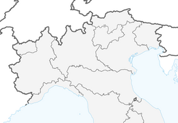


Etappe 33: Alpina Antica Trail | ET33: Sesto al Reghena - Concordia Sagittaria
Niveau de difficulté: T1
Through peaceful plains and canal-lined countryside to Concordia Sagittaria, where Roman history, early Christian heritage and Venetian serenity come together
From Sesto al Reghena, the Romea Strata guides...
From Sesto al Reghena, the Romea Strata guides pilgrims through a tranquil, water-rich landscape steeped in history. The famous Benedictine abbey, with its frescoes and medieval town centre, lends the route a special spiritual atmosphere. Along narrow streets, canals and fields, the stage continues towards Veneto, where the vastness of the plains blends with the tranquillity of ancient villages. Finally, you reach Concordia Sagittaria, a town with deep Roman roots, early Christian excavations and an impressive cathedral. Amidst ancient columns, old mosaics and the remains of the Roman town, you can still feel the special connection between history, faith and Venetian serenity.

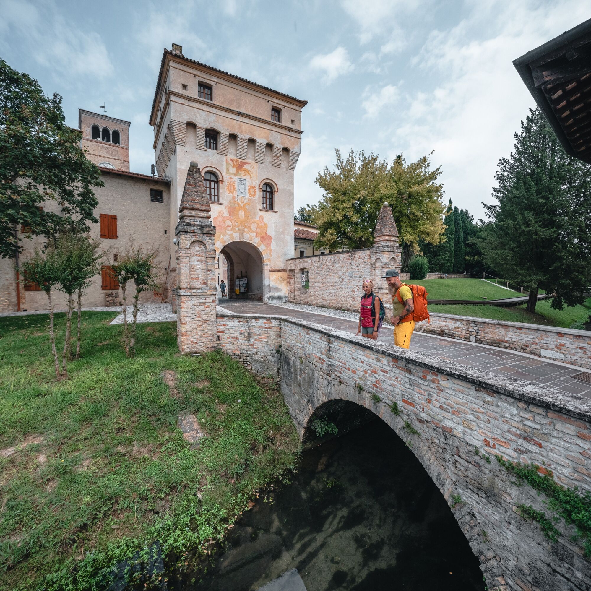

If you wish, you can walk a little further and visit the mills of Stalis. Otherwise, after 200 metres, turn right off the tarmac road and walk along the gravel path through the countryside. This is where the GiraLemene nature trail begins. At the end of this path, you’ll reach Borgo Braida and keep right onto Via Ippolito Nievo. At the small junction with the spring in the middle, keep right again. You’ll then come to another junction with a small church on the right and keep left until you reach the centre of Bagnara.
From the centre of Bagnara, continue straight on along Via Giuseppe Volpi di Misurata and then straight on along Via Roma until you reach the centre of Gruaro. Here, turn left into Via Guglielmo Marconi. At the junction, keep slightly to the right and turn left after the small church. Continue along the road that winds through the countryside, always following the course of the GiraLemene.
This will take you onto Via Boldara, where you turn right, following the cycle and footpath that leads to Portovecchio – always alongside the River Lemene. From the village, continue along Via Venerio Giovanni until you pass under the A4 motorway flyover. After the underpass, turn right onto the first road, Via Ponte di Covra, and follow it to provincial road no. 463.
After about 700 metres, past the railway overpass, turn right onto Via San Martino. After crossing the bridge over the Lemene, turn left onto Via Palestro and follow it to the parish church of San Nicolò. From there, turn left onto Viale della Stazione and cross the large roundabout via the underpass, which leads onto Via Bono. Follow this for about 50 metres and then immediately turn into Borgo San Gottardo, which leads to the centre of Portogruaro.
You cross the centre by continuing straight ahead. At the car park of the Hotel Portus, turn right onto the cycle and footpath that runs alongside the Lemene and leads to the Cathedral of Santo Stefano di Concordia.
T1
Parcours populaires à proximité
San Vito al Tagliamento - Lignano (C603)
moyenPiste cyclable longue distance 47,9 kmBoucle des villages des eaux (R025)
moyenPiste cyclable longue distance 33,6 kmCircuit des assèchements vénitiens (R026)
moyenPiste cyclable longue distance 38,8 kmCodroipo - Lignano Sabbiadoro (C6V3)
moyenPiste cyclable longue distance 50,5 kmRomea Strata, Vienna-Roma, tappa #20
moyenChemin de pèlerinage 36,7 kmRomea Strata, Vienna-Roma, tappa #19
moyenChemin de pèlerinage 30,2 kmCircuit Inclusif – La liberté de se déplacer ensemble
facileFaire du vélo 20 kmCircuit historique – Sur les traces du temps
facileFaire du vélo 63,8 kmCircuit œnogastronomique – Les saveurs d’un territoire rural et fluvial
facileFaire du vélo 114,1 km10 000 pas pour la santé FVG - LATISANA
facileRandonnée 4,61 km
Randonnée et suivi


Ne manquez pas les offres et l'inspiration pour vos prochaines vacances
Votre adresse électronique a été ajouté à la liste de diffusion.





