


First World War Itinerary in the Val Resia Valley Floor
Niveau de difficulté: T2
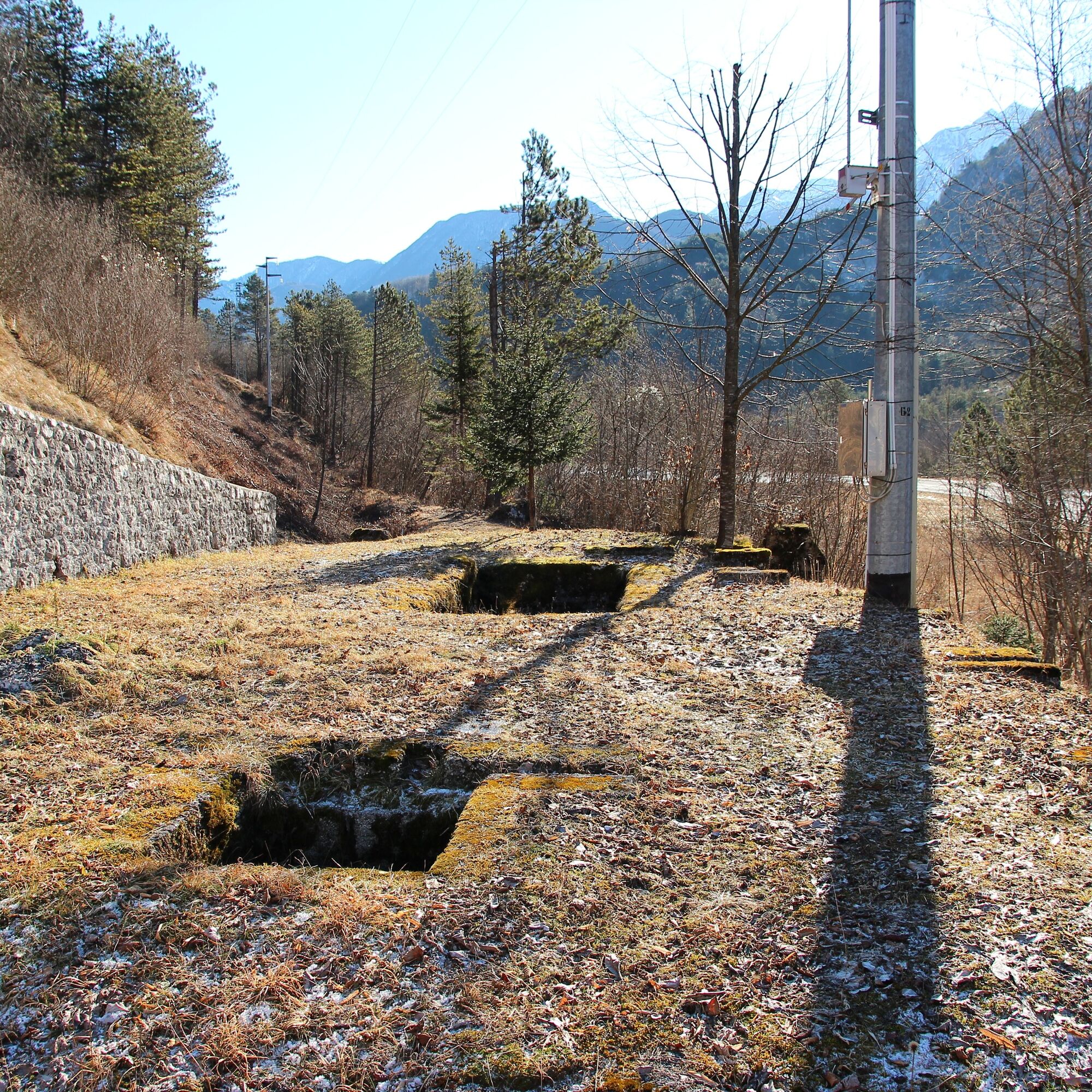
In the Resia Valley, the Italian army built fortifications, roads and military mule tracks in anticipation of an Austro-Hungarian invasion. These works were then used in October 1917 during the retreat...
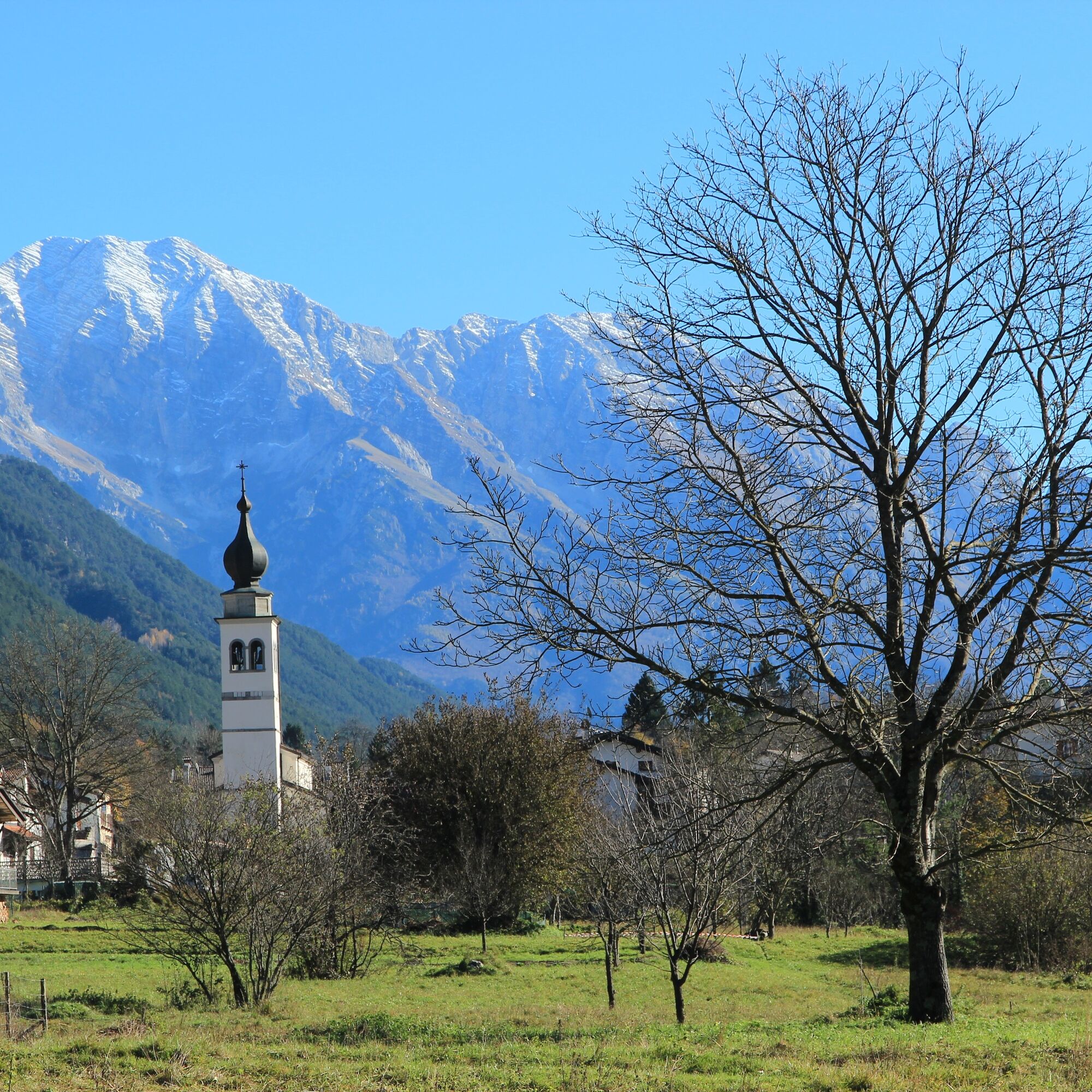
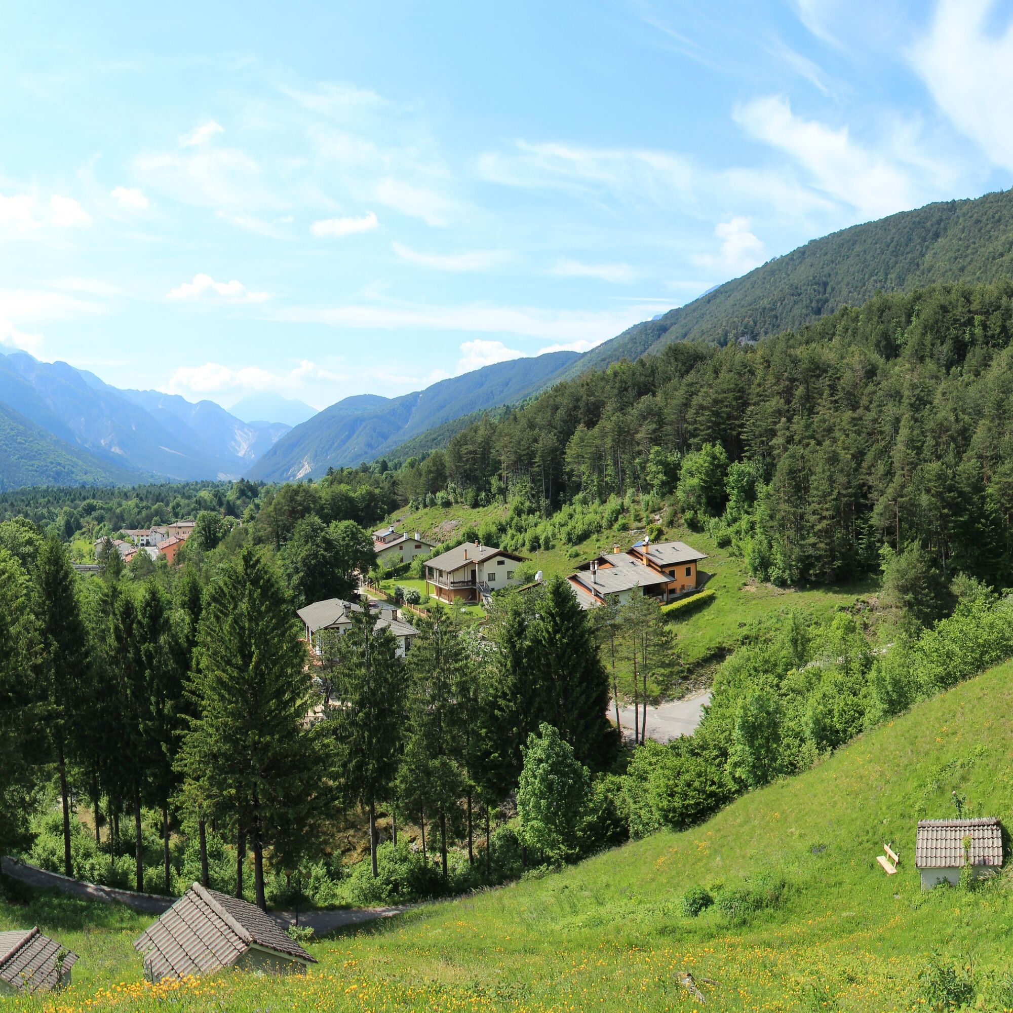
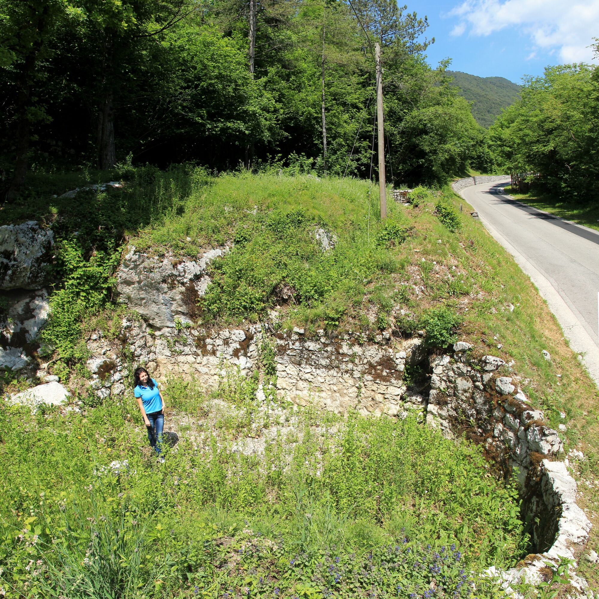
In the Resia Valley, the Italian army built fortifications, roads and military mule tracks in anticipation of an Austro-Hungarian invasion. These works were then used in October 1917 during the retreat after the Battle of Caporetto. Of the 12 itineraries that wind through the mountains of the Julian Prealps Regional Nature Park, mainly intended for trained hikers, the one that includes the area where the fighting of October 1917 took place is simple and suitable for everyone. From the Park headquarters in Prato di Resia, the route reaches the former war cemetery. A military road then leads to the remains of artillery positions, the cableway and other military buildings. Finally, turning towards the locality of San Giorgio, visitors will find the remains of an Italian artillery position.
Oui
Suitable sportswear, footwear appropriate for uneven ground and trekking poles are recommended. Visitors are also advised to bring an adequate supply of water.
The trail can be followed all year round; always check the weather forecast, especially in winter, when snow may be present. Please also take care of traffic along the roads open to vehicles.
Parking in Prato di Resia
T2
Parcours populaires à proximité
-
4,7
Tarvisio - Venzone (C101)
moyenPiste cyclable longue distance 64,7 km -
4,3
Cima di Terra Rossa
Randonnée 4,90 km -
4,8
Jof di Somdogna
moyenRandonnée 15,8 km -
5,0
Fenêtre de Prestreljenik (2390 m) – vue dramatique sur les Alpes juliennes occidentales
moyenSki de randonnée 14,5 km -
4,8
Tarvisio - Gorizia : des montagnes aux vignobles (TX01)
moyenPiste cyclable longue distance 155,8 km -
5,0
Cima di Terrarossa
moyenRandonnée d'altitude 9,35 km -
5,0
Due Pizzi Bergsteigen
moyenVia ferrata 10 km -
3,0
Curtissons
Ski de randonnée 8,50 km -
4,0
Monte Cuarnan
facileRandonnée 4,81 km -
4,5
Boucle de la Val Venzonassa
moyenRandonnée 9,74 km
Randonnée et suivi


Ne manquez pas les offres et l'inspiration pour vos prochaines vacances
Votre adresse électronique a été ajouté à la liste de diffusion.