


Route of the Pinzano Bridge and the Artillery Battery of Colàt Hill
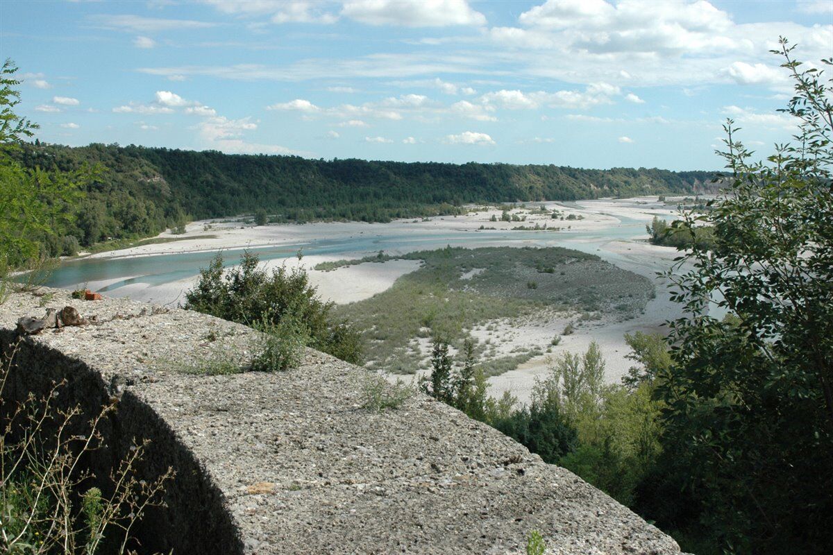
From the hamlet of Tabine, follow the mule track and then the road to the Pinzano Bridge, where you can enjoy a splendid view over the Tagliamento River. Here, a memorial plaque commemorates Captain Teodoro...
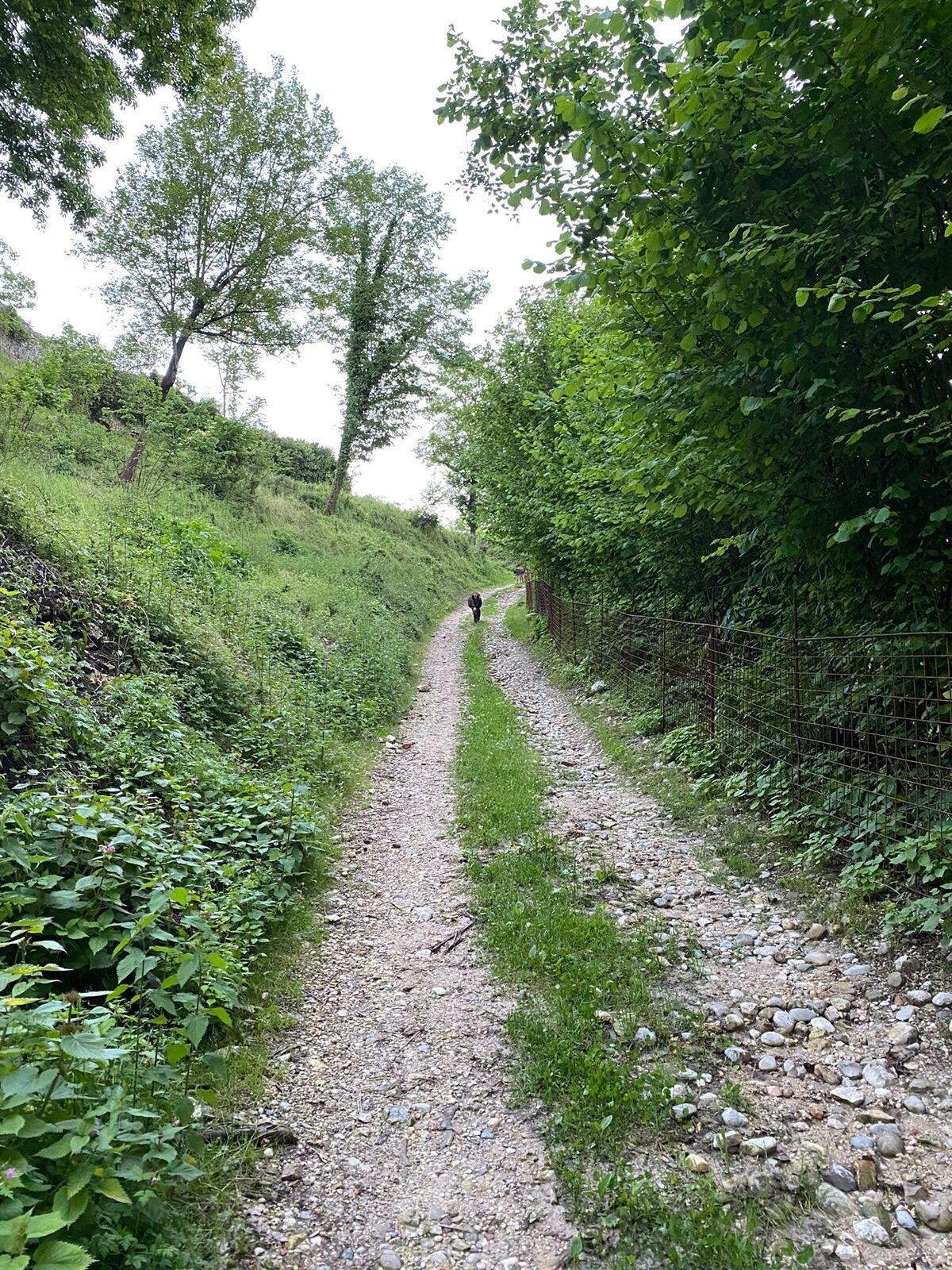
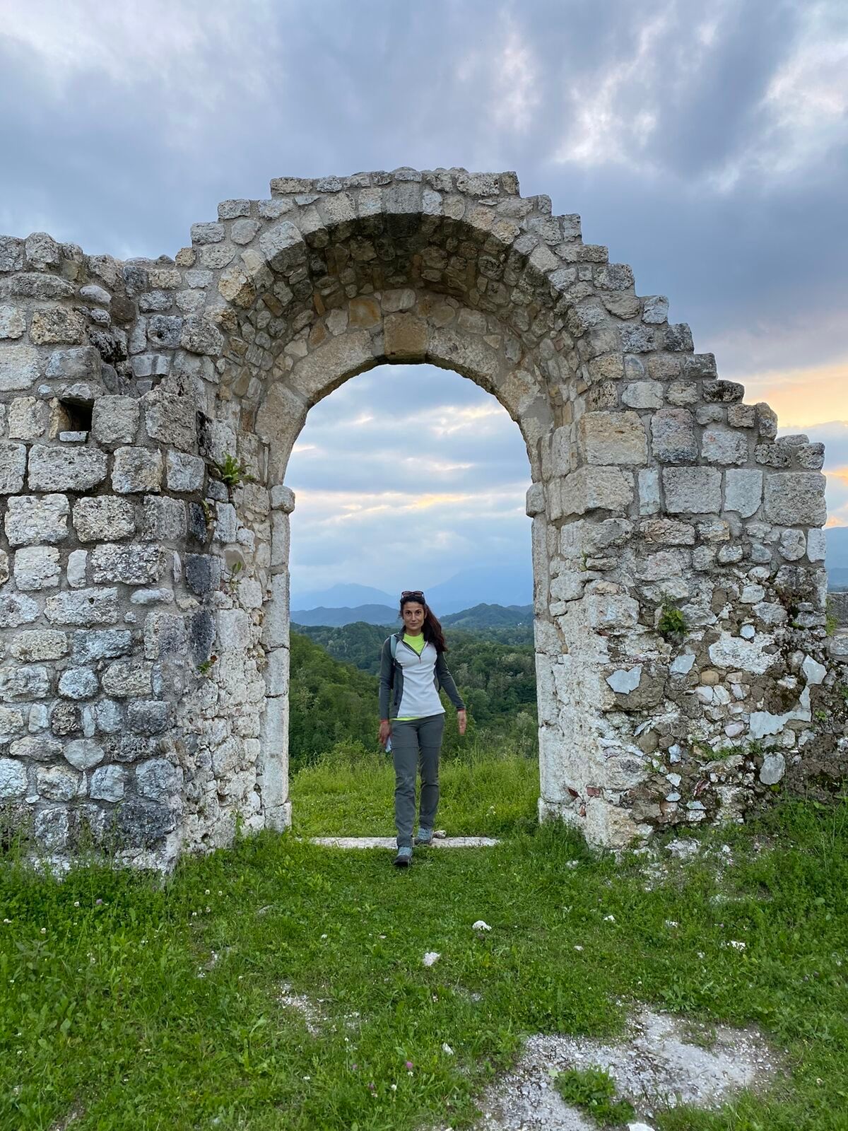
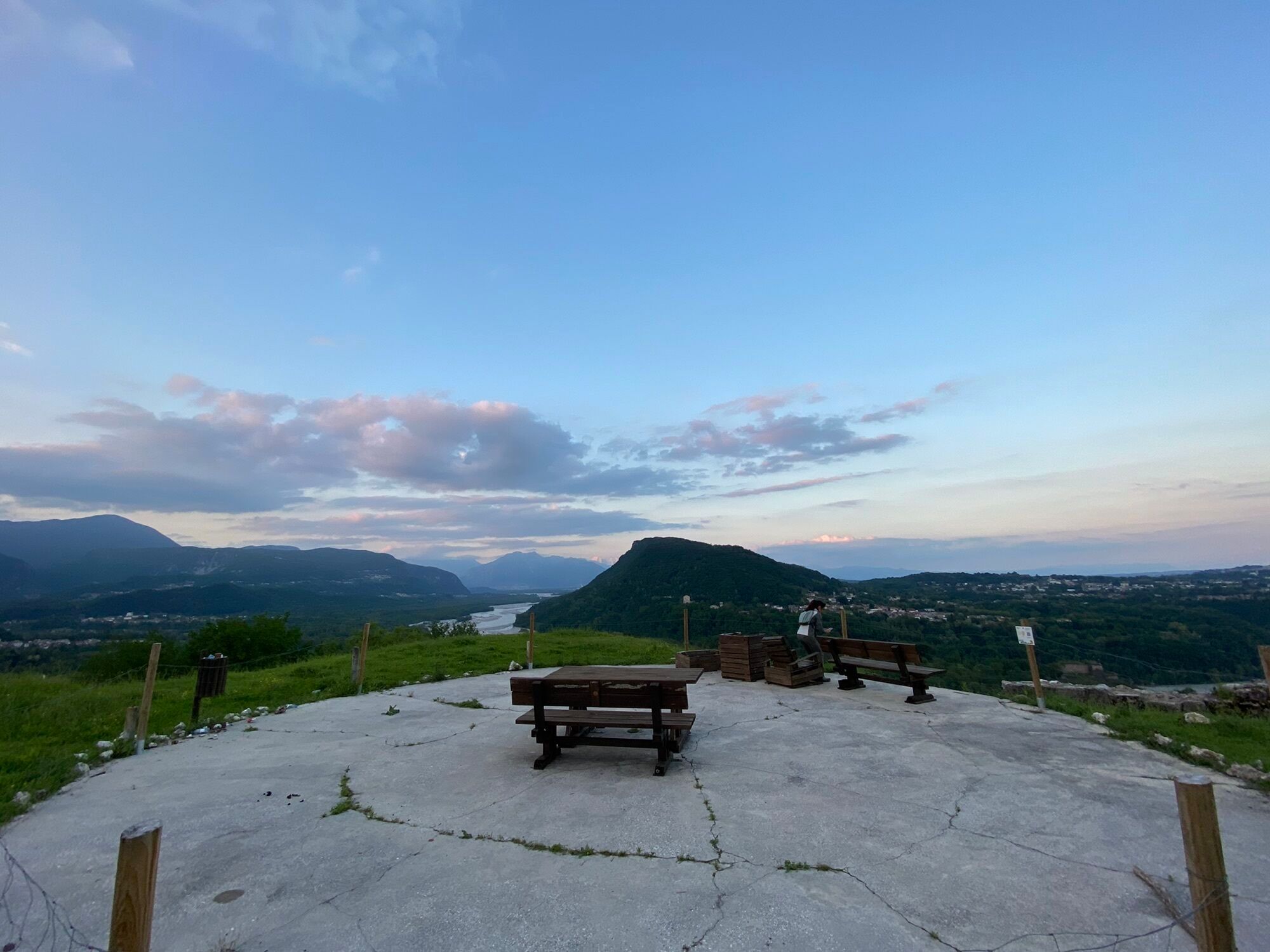
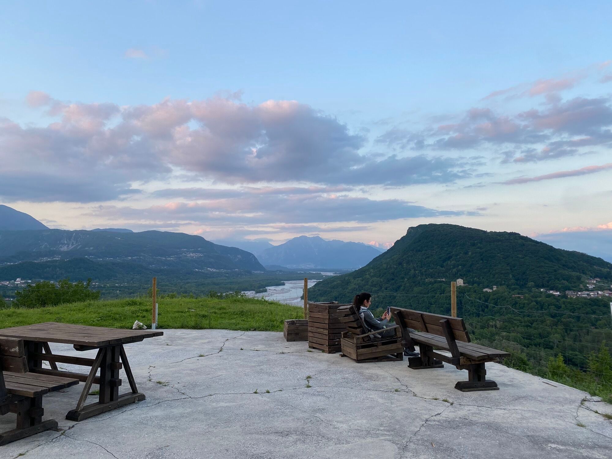
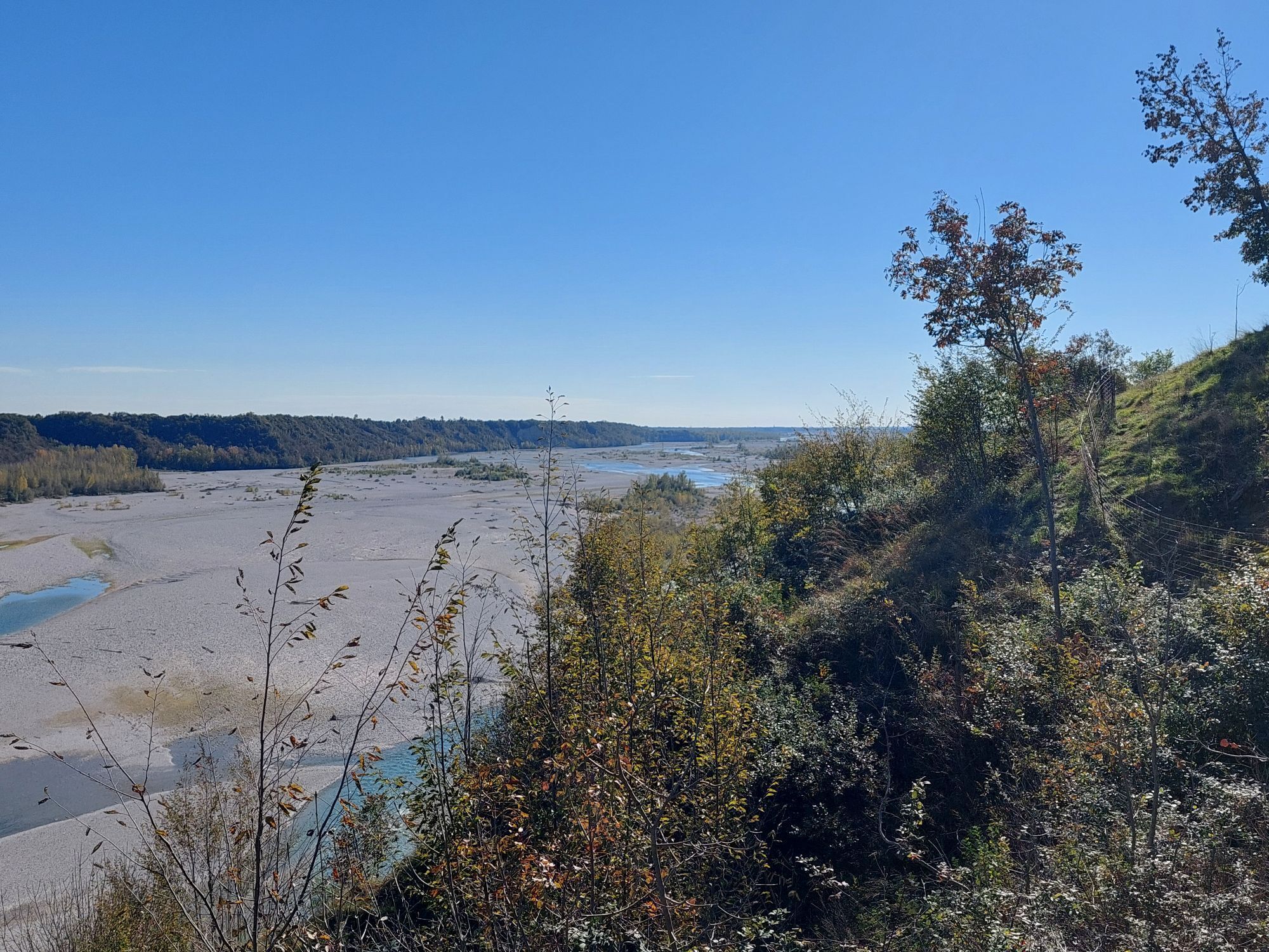
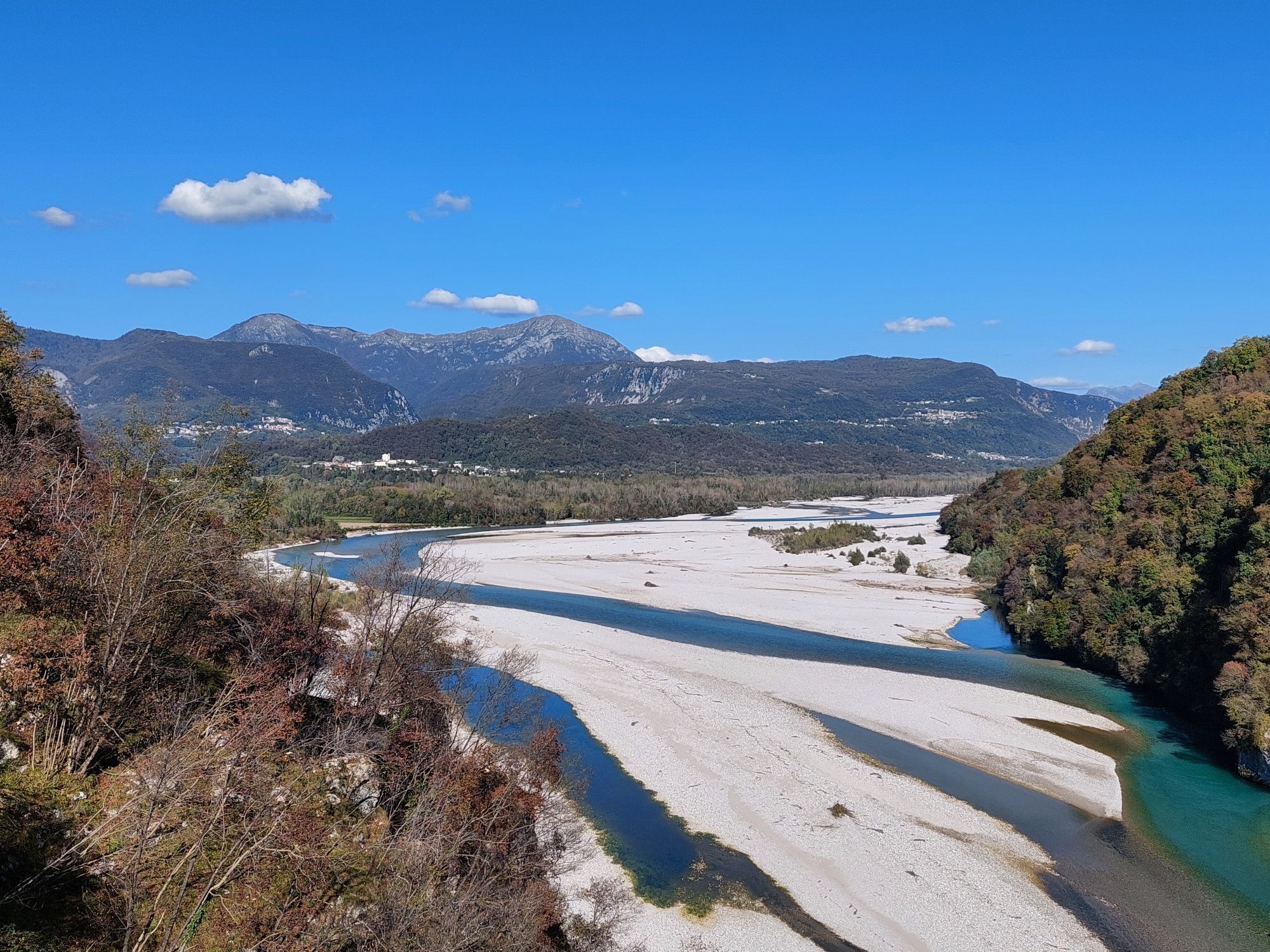
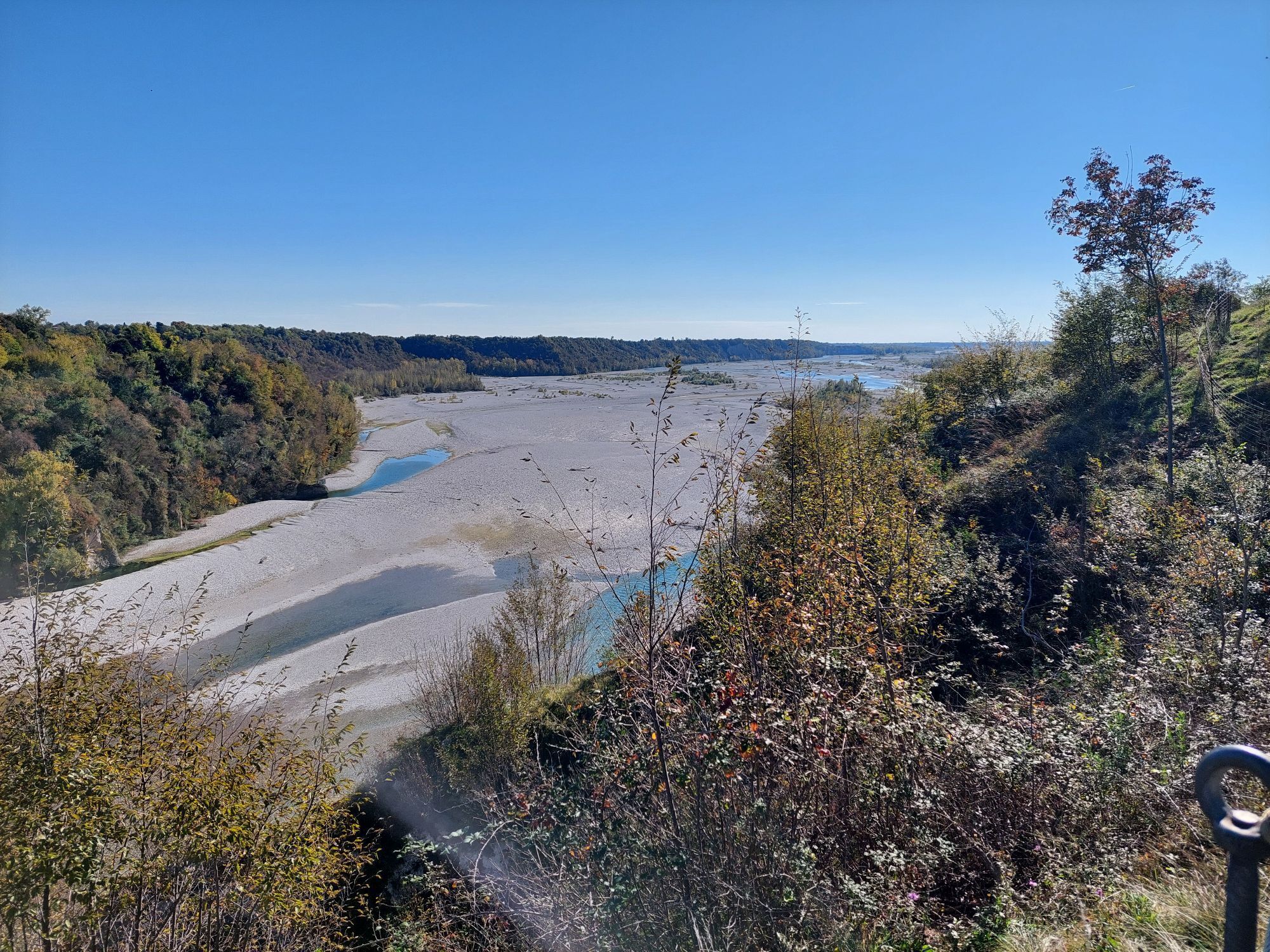
From the hamlet of Tabine, follow the mule track and then the road to the Pinzano Bridge, where you can enjoy a splendid view over the Tagliamento River. Here, a memorial plaque commemorates Captain Teodoro Moggio and the soldiers who slowed the imperial advance in the autumn of 1917, while on the opposite side you can see the old tollhouse and a machine-gun fortification with a metal cover. Taking a path on the right, steep in places, you pass several Cold War positions before reaching the never-completed German ossuary of Col Pion. Along the marked route, the itinerary continues towards the hill of the Castle of Pinzano and then on to nearby Col Colàt (280 metres). Here, the well-preserved structures of a permanent artillery emplacement stand out, including gun platforms, an underground powder magazine and ammunition shelters with hoists, dating back to 1909–1910.

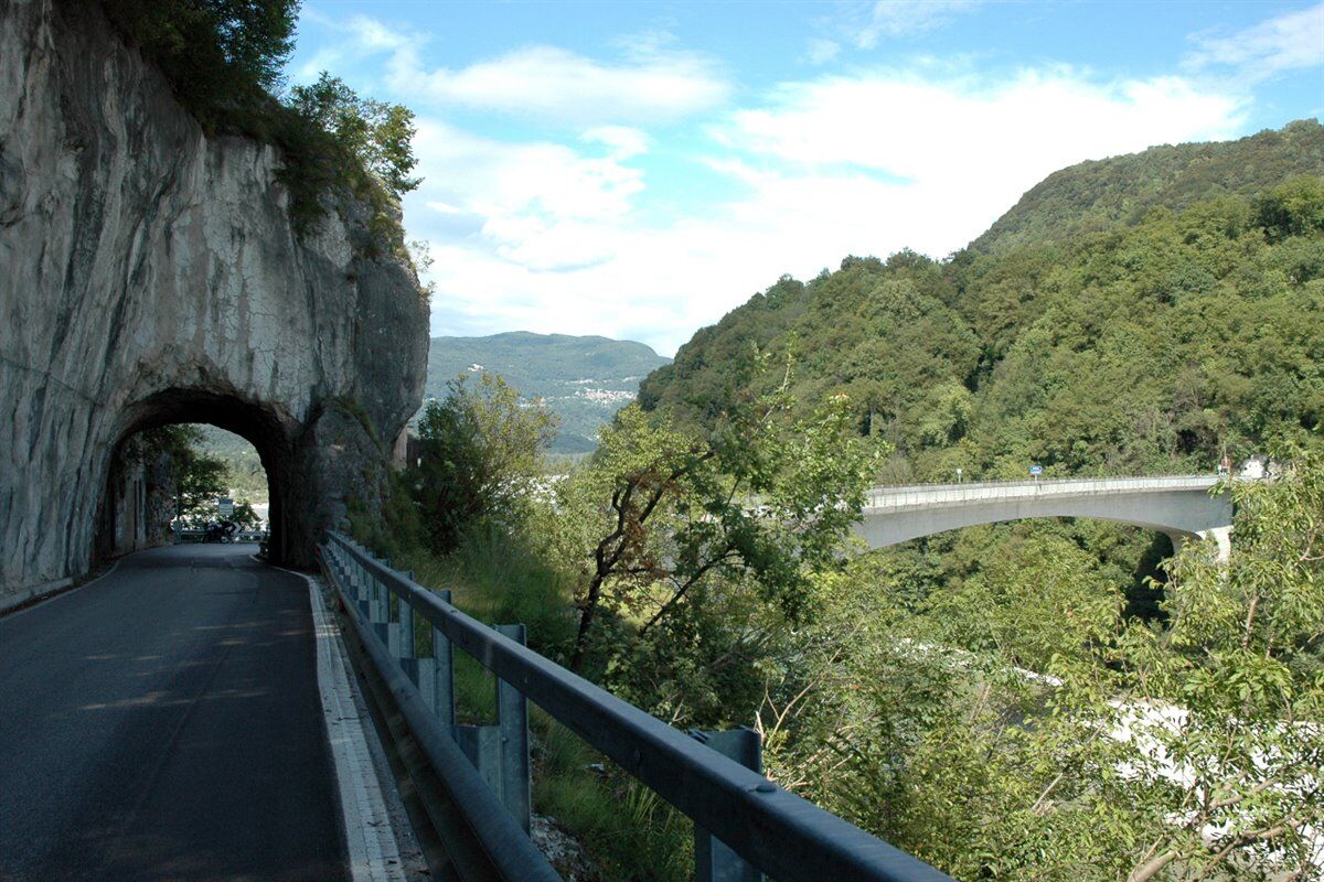
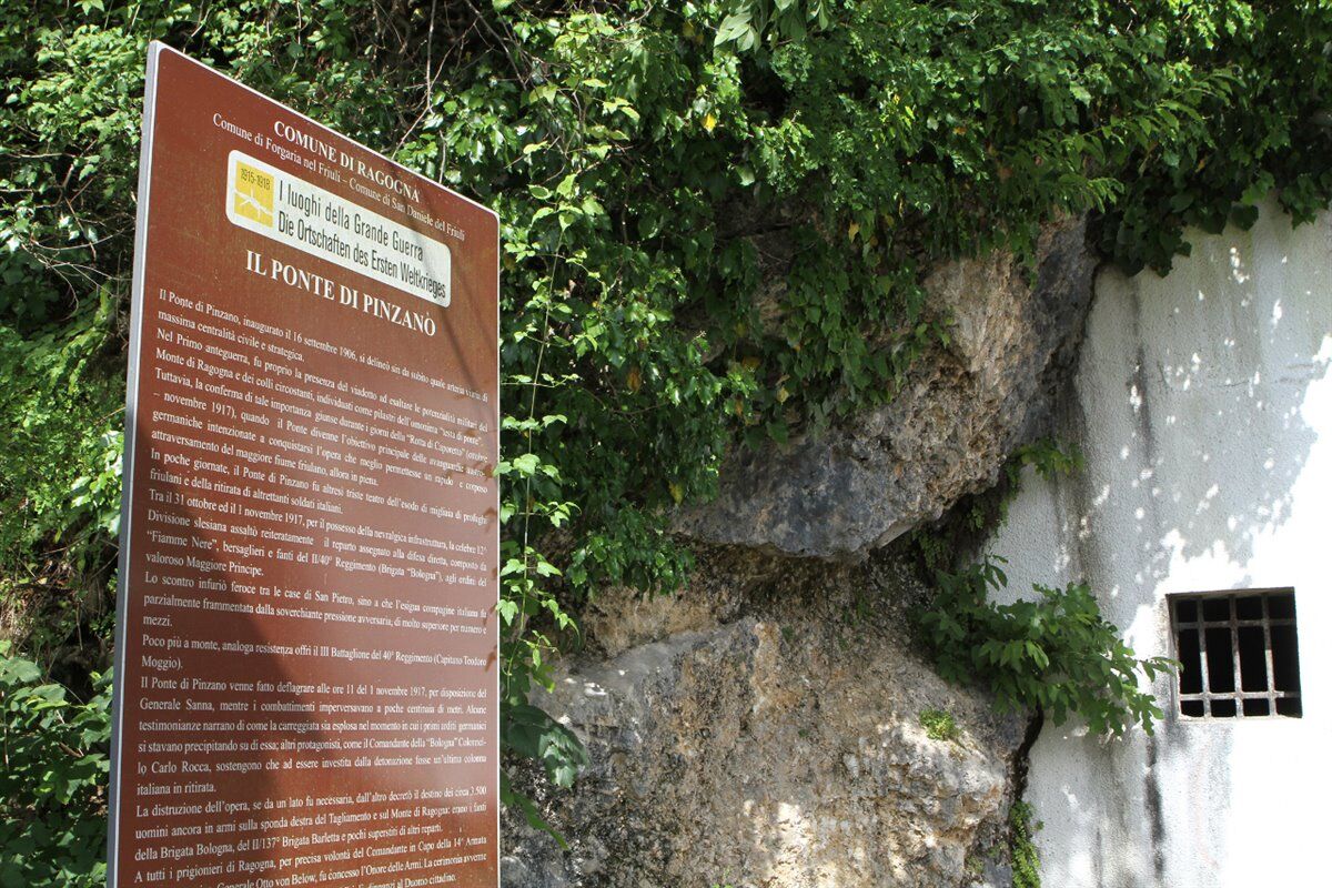
The itinerary starts in the hamlet of Tabine, following the track that leads to the Pinzano Bridge, where a plaque commemorates Captain Teodoro Moggio and the last Italian soldiers who defended this area in November 1917. After crossing the bridge, on the opposite side you can immediately see the old tollhouse and a metal emplacement set on a rocky spur, bearing witness to the former strategic importance of river crossings. Continuing along the SP1 road, you pass a second bridge and, shortly afterwards, a mule track on the right climbs up to the remains of the former German ossuary of Colle Pion, designed in the 1930s but never completed. Returning to the main road, continue towards the village centre and then turn right into Via Castello. After another 200 metres, taking a mule track on the left, you reach an open area where a number of ammunition shelters can be seen, small buildings once used to store munitions. Continuing along this military road, you reach the summit of Col Colàt (Quota 280), the final stop on the route. Here it is still possible to see the remains of a permanent battery, with the gun platforms where 149 mm barbette guns were positioned, an underground powder magazine, its associated six-and-a-half-metre hoist, several casemates, and the stone entrance.
Suitable sportswear, footwear appropriate for uneven ground and trekking poles are recommended. Visitors are also advised to bring an adequate supply of water.
Please take care when walking along ordinary roads. The trail can be followed all year round; always check the weather forecast.
Take the Udine Nord exit from the A23 motorway and continue along State Road SS464 towards Spilimbergo. In Fagagna, turn right onto Provincial Road SP5 towards San Daniele del Friuli and then continue in the direction of Ragogna. Still following the SP5, in the locality of San Giacomo turn left into Via Bologna and continue straight along Via Tagliamento until you reach the hamlet of Tabine.
Parking available in Tabine
It is recommended to combine the hike with a visit to the Great War Museum of Ragogna.
Parcours populaires à proximité
-
4,8
Boucle du Monte Cuar
moyenRandonnée 7,26 km -
5,0
Venzone - Udine (C102)
moyenPiste cyclable longue distance 56,7 km -
FVG3 Piste cyclable Pedemontana (C300)
difficilePiste cyclable longue distance 182,0 km -
Boucle du monte di Ragogna
moyenRandonnée 11,9 km -
Palcoda et Tamar, les villages abandonnés
moyenRandonnée 8,38 km -
Parenzana Extended
moyenVTT 422,0 km -
Boucle de Monte Prat depuis Cornino
moyenRandonnée 15,2 km -
Boucle de San Daniele del Friuli (R007)
moyenPiste cyclable longue distance 31,4 km -
Monte di Ragogna by Wilson Holz
facileRandonnée 12,3 km -
Boucle du Monte Valinis depuis Sottomonte
moyenRandonnée 8,41 km
Randonnée et suivi


Ne manquez pas les offres et l'inspiration pour vos prochaines vacances
Votre adresse électronique a été ajouté à la liste de diffusion.