


MTB and Gravel Route Through the Hills from Udine to San Daniele del Friuli (P030)
From the starting point in Udine, head southwest along the urban bike path, continuing toward Tavagnacco on secondary roads with light traffic. Once past the urban area, the route continues along rural...
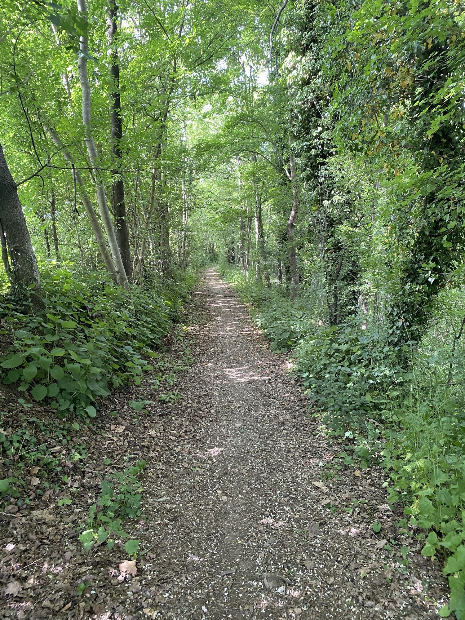
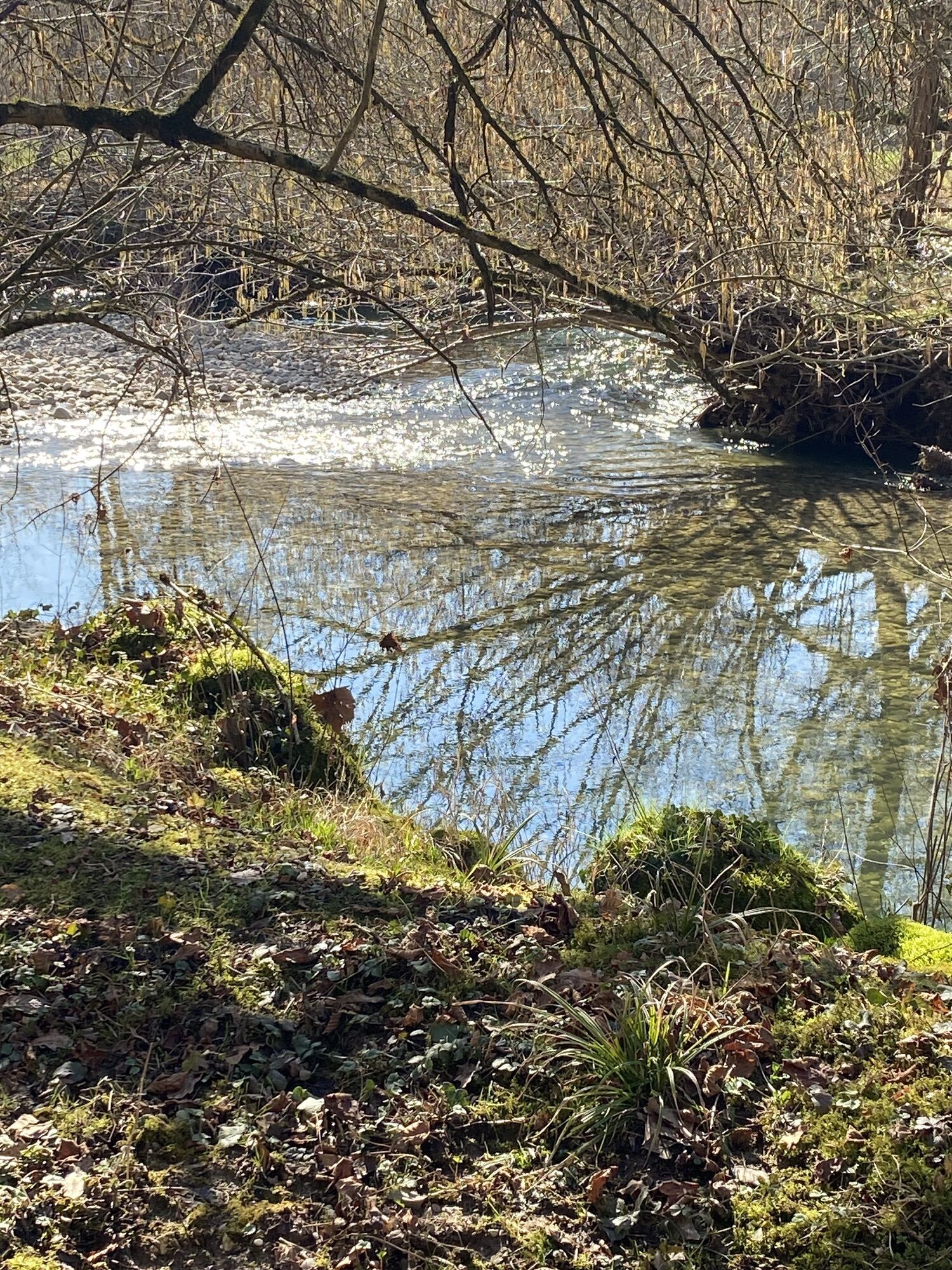
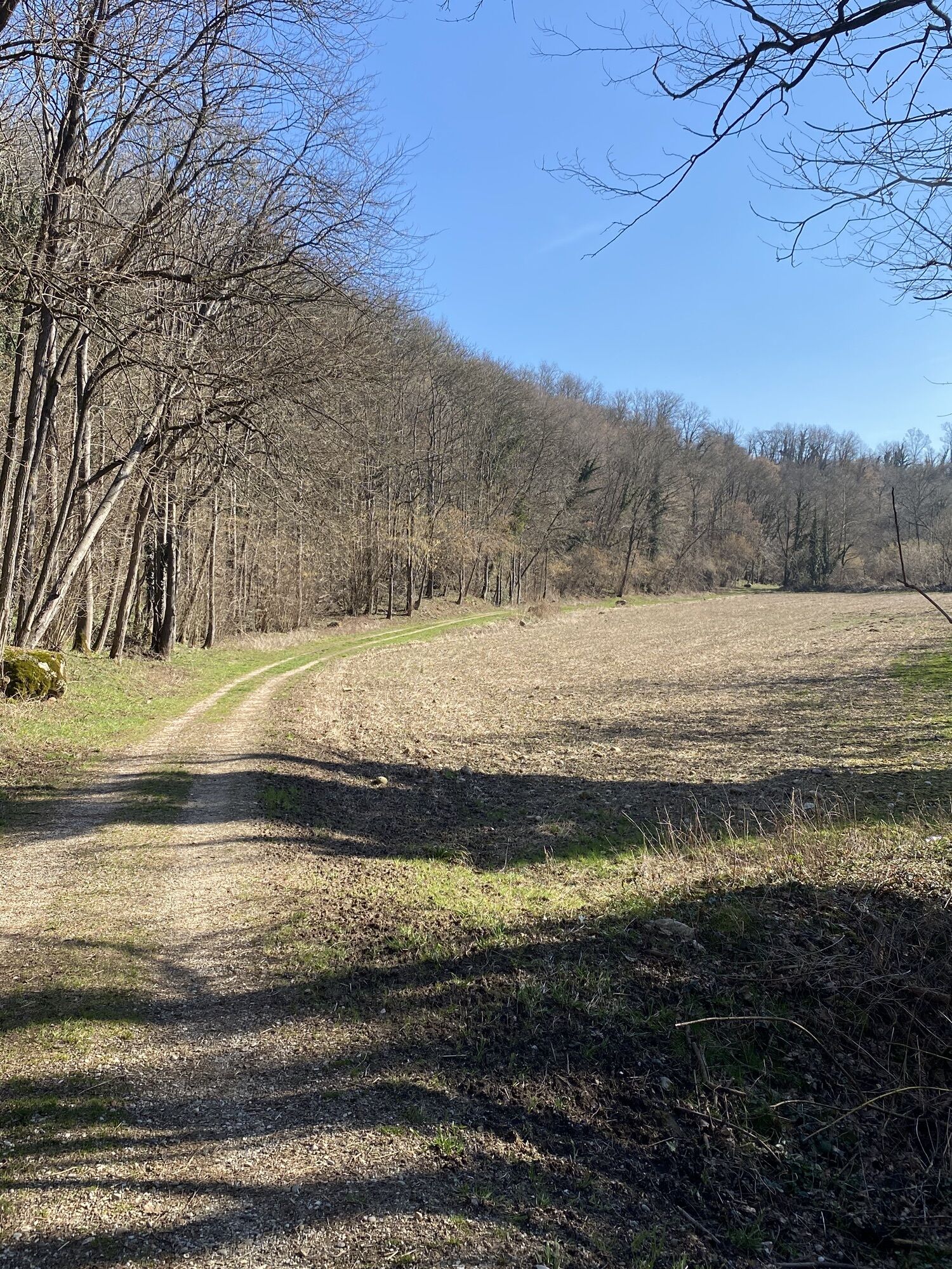
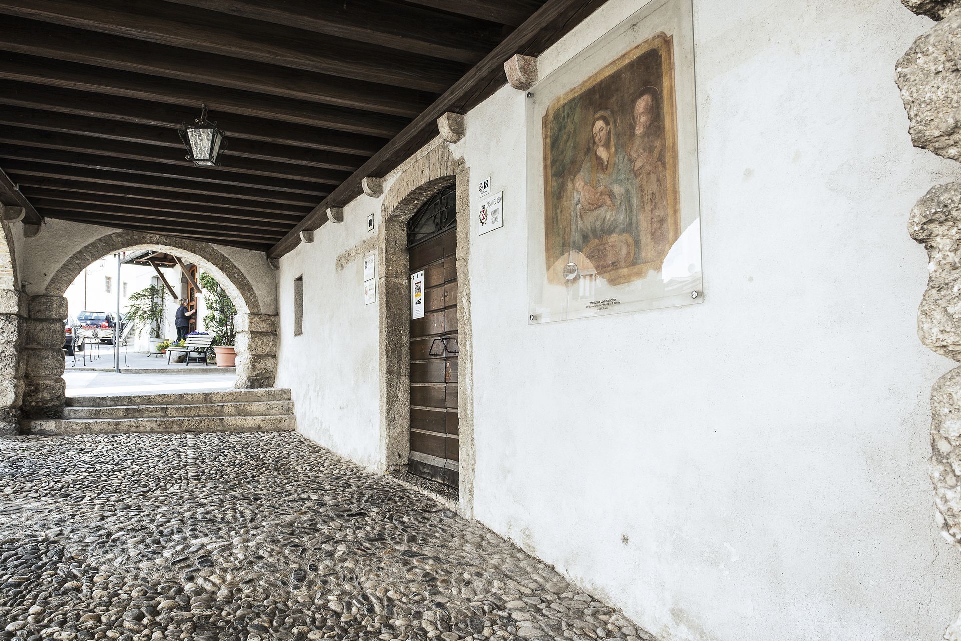
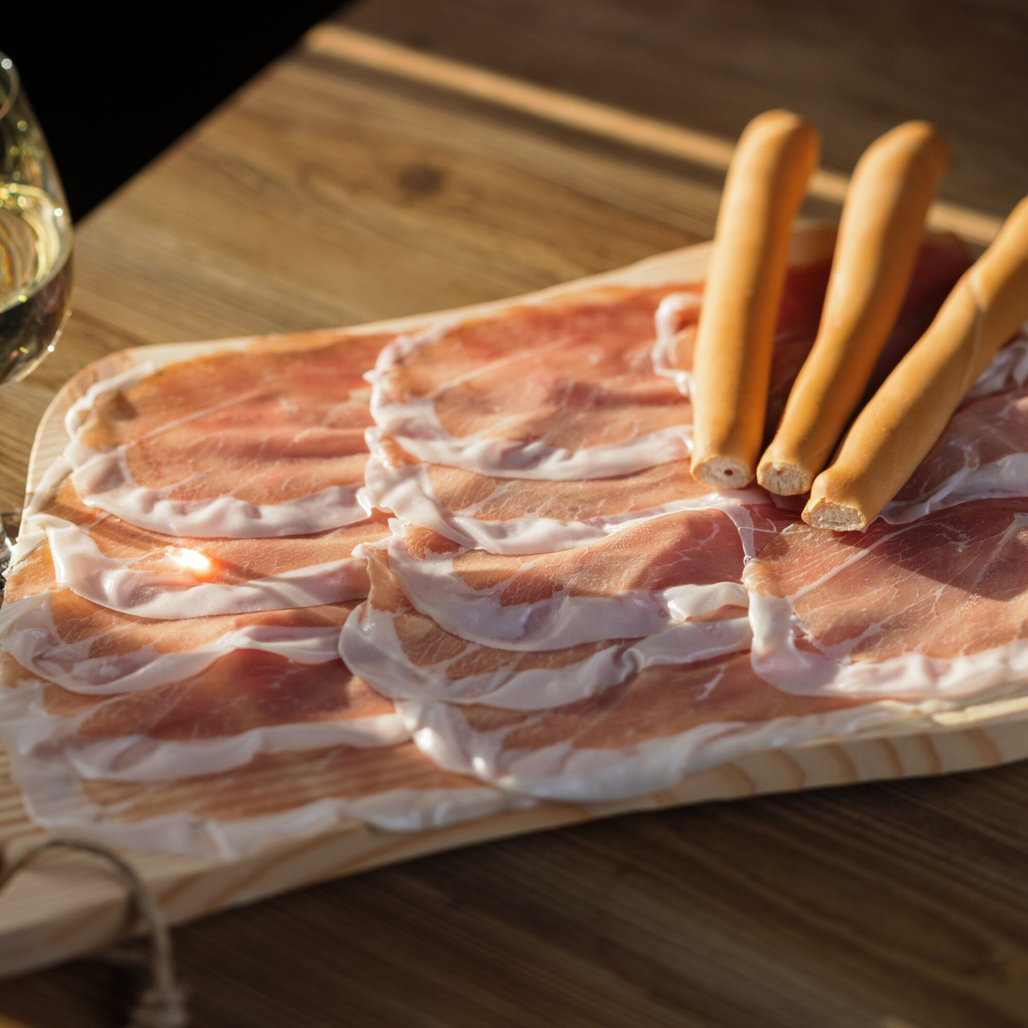
From the starting point in Udine, head southwest along the urban bike path, continuing toward Tavagnacco on secondary roads with light traffic. Once past the urban area, the route continues along rural roads through fields and on dirt roads until reaching the Tricesimo area. Here, the route alternates between paved and compact dirt sections, with a series of gentle ups and downs. You then enter the hilly area heading toward Colloredo di Monte Albano, dominated by its castle. The route becomes more undulating and scenic, following secondary roads surrounded by greenery. The final segment leads toward San Daniele del Friuli, winding gently up and down until reaching the town center, home to the famous Prosciutto di San Daniele, a culinary delicacy known throughout the world.
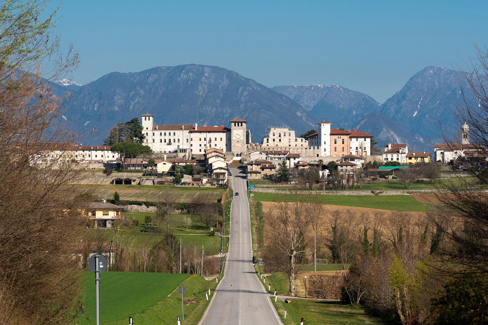
From Udine, follow the urban bike path toward Tavagnacco, then continue on secondary roads and dirt roads toward Tricesimo. From there, the route becomes more undulating as it enters the hilly area of Colloredo di Monte Albano, with ups and downs along scenic roads all the way to San Daniele del Friuli.
We recommend bringing a supply of water with you along the route.
Warning: This trail is challenging
A23 Highway, Udine Sud Exit
By train, get off at Udine Railway Station.
Parking options at the train station and/or nearby.
The elevations of the various mandatory checkpoints mean the route involves climbing (Udine 105 m, Colloredo 205 m, San Daniele 250 m above sea level), with plenty of ups and downs in between.
https://www.turismofvg.it/it/bike/percorso-udine-san-daniele-p015
Parcours populaires à proximité
- 4,8
FVG1 Piste cyclable Alpe Adria (C100)
moyenPiste cyclable longue distance 179,3 km - 5,0
Monte Stella, entre petits villages et vastes panoramas
facileRandonnée 9,18 km - 5,0
Venzone - Udine (C102)
moyenPiste cyclable longue distance 56,7 km FVG3 Piste cyclable Pedemontana (C300)
difficilePiste cyclable longue distance 182,0 km- 5,0
Sentier des cascades dans la vallée du ruisseau Orvenco
moyenRandonnée 8,90 km Boucle du monte di Ragogna
moyenRandonnée 11,9 kmCircuit de randonnée du Monte Faeit au départ du village d'Artegna
moyenRandonnée 8 kmBoucle des châteaux médiévaux (R036)
moyenPiste cyclable longue distance 61,5 kmParcours Udine - San Daniele (P015)
moyenPiste cyclable longue distance 29,5 kmBoucle de San Daniele del Friuli (R007)
moyenPiste cyclable longue distance 31,4 km
Randonnée et suivi


Ne manquez pas les offres et l'inspiration pour vos prochaines vacances
Votre adresse électronique a été ajouté à la liste de diffusion.