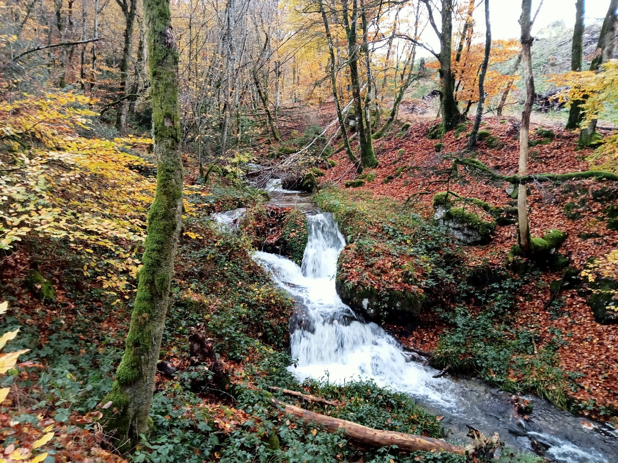
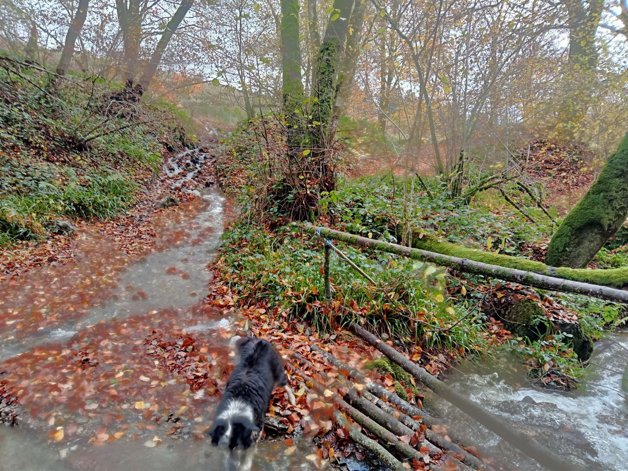
Sur Roche - Église Saint-Pierre - Chalet de Préperny - Champ
difficile
Télécharge cette visite sur ton portable
Sur Roche - Église Saint-Pierre - Chalet de Préperny - Champ
difficile
Vélo de course
54,20
km
Scanner le code QR et commencer la navigation dans l'application bergfex

Randonnée & tracking


Sur Roche - Église Saint-Pierre - Chalet de Préperny - Champ
difficile
Distance
54,20
km
Durée
02:56
h
Ascension
1 100
m
Altitude
305 -
879
m
Téléchargement de la piste
Sur Roche - Église Saint-Pierre - Chalet de Préperny - Champ
difficile
Vélo de course
54,20
km
Parcours
Église Saint-Léger
(500 m)
Lieu de culte
2,4 km
Le Moulin de Précy
(425 m)
Lotissement
10,0 km
Église Saint-Pierre
(622 m)
Lieu de culte
16,3 km
Le Marault
(633 m)
Lotissement
17,7 km
Col du Haut Folin
(873 m)
Col de montagne
23,9 km
Le Puits
(614 m)
Lotissement
37,0 km
Église Notre-Dame-de-l'Assomption
(330 m)
Lieu de culte
48,7 km
Parcours
Sur Roche - Église Saint-Pierre - Chalet de Préperny - Champ
difficile
Vélo de course
54,20
km
Sur Roche
(480 m)
Lotissement
1,7 km
Saint-Léger-de-Fougeret
(507 m)
Village
2,2 km
Église Saint-Léger
(500 m)
Lieu de culte
2,4 km
La grande croix
(514 m)
Lotissement
2,8 km
Les Anglois
(469 m)
Lotissement
4,0 km
Montsaunin
(492 m)
Lotissement
6,5 km
La Croix de Pré
(523 m)
Lotissement
7,5 km
Coujard
(505 m)
Lotissement
8,3 km
Précy
(482 m)
Lotissement
9,5 km
Le Moulin de Précy
(425 m)
Lotissement
10,0 km
Pontchareau
(413 m)
Lotissement
10,9 km
Granjolle
(438 m)
Lotissement
11,6 km
Ouche des Chemins
(443 m)
Couloir/terrain
11,8 km
Champs Verts
(457 m)
Couloir/terrain
12,1 km
Champ Bas
(529 m)
Couloir/terrain
13,6 km
Les Bouchoux
(518 m)
Lotissement
13,9 km
Prés Reviot
(539 m)
Couloir/terrain
13,9 km
La Pirotte
(557 m)
Lotissement
14,1 km
Les Rollots
(563 m)
Lotissement
14,5 km
L Echeintre
(584 m)
Couloir/terrain
14,8 km
Pré du Prêtre
(603 m)
Couloir/terrain
15,4 km
Champ de la Croix
(620 m)
Couloir/terrain
15,6 km
Le Cornemuse
(625 m)
Restaurant
16,0 km
Le Bourg
(621 m)
Couloir/terrain
16,2 km
Arleuf
(629 m)
Village
16,2 km
Église Saint-Pierre
(622 m)
Lieu de culte
16,3 km
Le Bourg
(641 m)
Quartier de la ville
16,5 km
La Petite Méloise
(624 m)
Couloir/terrain
16,6 km
Champ Mouillefert
(629 m)
Couloir/terrain
16,7 km
Prés Brenot
(622 m)
Couloir/terrain
16,9 km
Le Marault
(633 m)
Lotissement
17,7 km
Le Maraut Champ du Coudray
(640 m)
Couloir/terrain
17,7 km
Four Handerbe
(648 m)
Couloir/terrain
17,9 km
Maison Canon
(654 m)
Couloir/terrain
18,2 km
Fosse
(665 m)
Lotissement
18,4 km
Fou des Angles
(684 m)
Couloir/terrain
18,6 km
Chalet de Préperny
(806 m)
Refuge
21,6 km
Préperny
(804 m)
Couloir/terrain
21,6 km
Col du Haut Folin
(873 m)
Col de montagne
23,9 km
Pré du Massé
(749 m)
Lotissement
26,6 km
Les Calots
(624 m)
Lotissement
28,3 km
L'Haut de la Croix
(678 m)
Lotissement
30,2 km
La petite auberge
(665 m)
Restaurant
30,3 km
Glux-en-Glenne
(663 m)
Village
30,4 km
L'Échenault
(562 m)
Lotissement
32,2 km
Bois des Chantes
(577 m)
Couloir/terrain
35,7 km
Le Puits
(614 m)
Lotissement
37,0 km
Le puits de Sidonie
(608 m)
Restaurant
37,1 km
La Croix des Cerisiers
(611 m)
Lotissement
37,8 km
Moulin de Rangère
(556 m)
Lotissement
39,0 km
Dragne
(544 m)
Lotissement
40,0 km
Sur Le Mouilla
(539 m)
Couloir/terrain
40,3 km
Champs des Pierres
(520 m)
Couloir/terrain
40,9 km
Les Champs Ragots
(486 m)
Couloir/terrain
41,5 km
Les Bourbas
(402 m)
Lotissement
42,9 km
Planchaufaux
(384 m)
Couloir/terrain
43,3 km
Le Larre
(369 m)
Couloir/terrain
43,7 km
Au Dela du Goué
(364 m)
Couloir/terrain
43,7 km
Le Pont du Mousseau
(344 m)
Couloir/terrain
44,1 km
Onlay
(328 m)
Village
48,6 km
Église Notre-Dame-de-l'Assomption
(330 m)
Lieu de culte
48,7 km
Lieux Brion
(344 m)
Couloir/terrain
48,9 km
Champ
(437 m)
Lotissement
53,5 km
Pas encore d'évaluation
Parcours populaires à proximité
-
A VTT sur la GTMC, entre Cussy-en-Morvan et Bourbon-Lancy
facileVTT 241,6 km -
Parcours de découverte culturelle : d'Autun à Bibracte
moyenMoto 90,6 km -
CycloRoute71 - Etape 7 d'Autun à Etang-sur-Arroux
moyenFaire du vélo 60,9 km -
Les Gorges de La Canche
moyenRandonnée 24,9 km -
A VTT dans le Morvan
moyenVTT 27,2 km -
Ah! nos pizz' - Haut Folin - Bas Folin - Chez Cécile
difficileVTT 52,7 km -
5,0
Le Chaudron - Mont Beuvray - Chapelle Saint-Martin - Col du Rebout
moyenRandonnée 7,57 km -
Château-Chinon - Le Briot - Pontchareau - L Echeintre
facileVTT 8,61 km -
4,0
Les Soulins - Corancy - L'Huis Grillot
moyenRandonnée 14,2 km -
Glux-en-Glenne - Haut Folin - Grand Montarnu - Arleuf
difficileRandonnée 21,8 km
Randonnée et suivi

Plus de 550.000 propositions de circuits, des cartes détaillées et un planificateur d'itinéraire intuitif font de cette application un must pour tous les passionnés de nature.

Ne manquez pas les offres et l'inspiration pour vos prochaines vacances
S'inscrire à la newsletter
Erreur
Une erreur s'est produite. Veuillez réessayer.
Merci pour votre inscription
Votre adresse électronique a été ajouté à la liste de diffusion.
Parcours en Europe
Autriche
Suisse
Allemagne
Italie
Slovénie
France
Pays-Bas
Belgique
Pologne
Liechtenstein
République tchèque
Slovaquie
Espagne
Croatie
Bosnie-Herzégovine
Luxembourg
Andorre
Portugal
Islande
Royaume-Uni
Irlande
Grèce
Albanie
Macédoine du Nord
Malte
Norvège
Monténégro
Moldavie
Kosovo
Hongrie
Saint-Marin
Roumanie
Estonie
Lettonie
Bélarus
Chypre
Lituanie
Serbie
Bulgarie
Monaco
Danemark
Suède
Finlande