
Les crêtes boisées du Mâconnais
moyen
Télécharge cette visite sur ton portable
Les crêtes boisées du Mâconnais
moyen
VTT
170,75
km
Scanner le code QR et commencer la navigation dans l'application bergfex


Randonnée & tracking




Les crêtes boisées du Mâconnais
moyen
Distance
170,8
km
Durée
19:30
h
Ascension
4 641
m
Altitude
177 -
696
m
Niveau de difficulté: S1
Téléchargement de la piste
Les crêtes boisées du Mâconnais
moyen
VTT
170,75
km
From Mâcon, the Voie Verte takes you to the vineyards of the Mâconnais. Here, the scenery reveals the famous Solutré and Vergisson rocks and all the beauty of this Grand Site de France.We then follow in...
Description
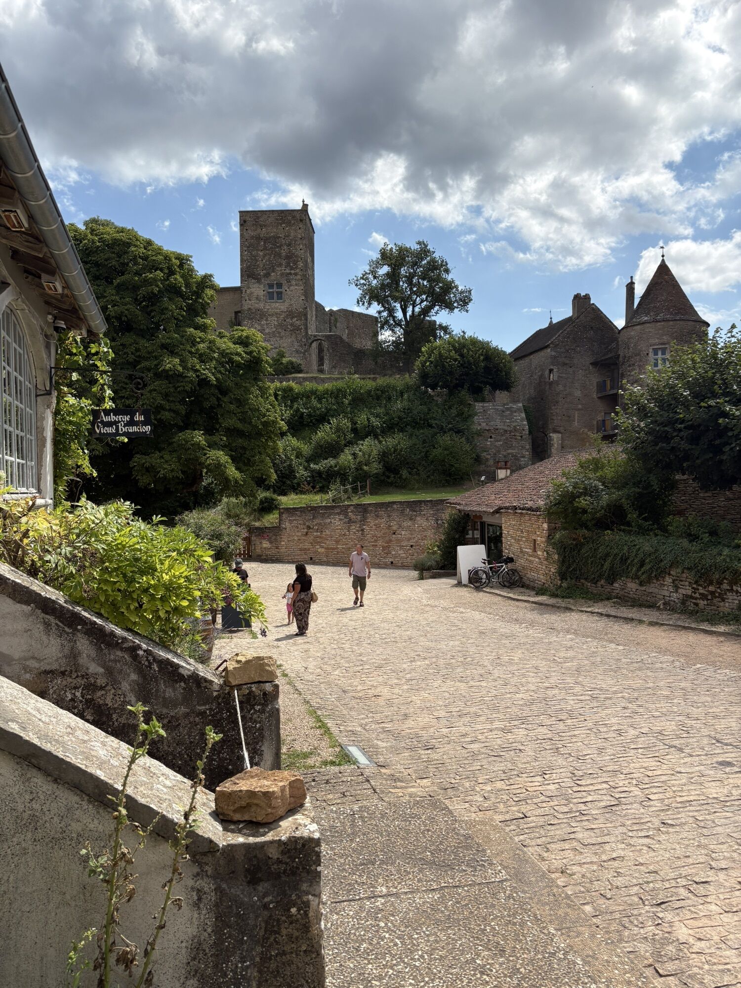
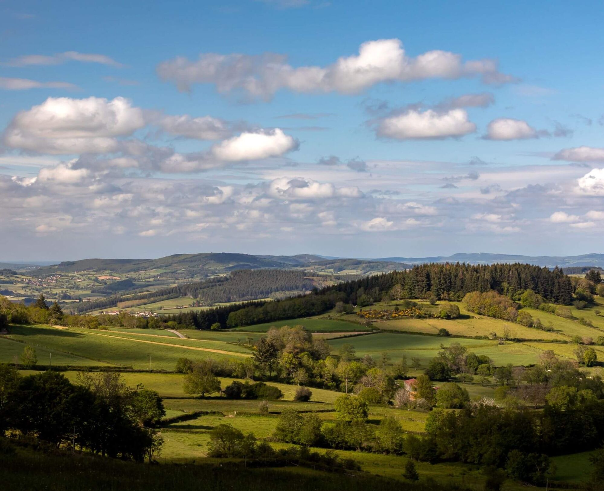
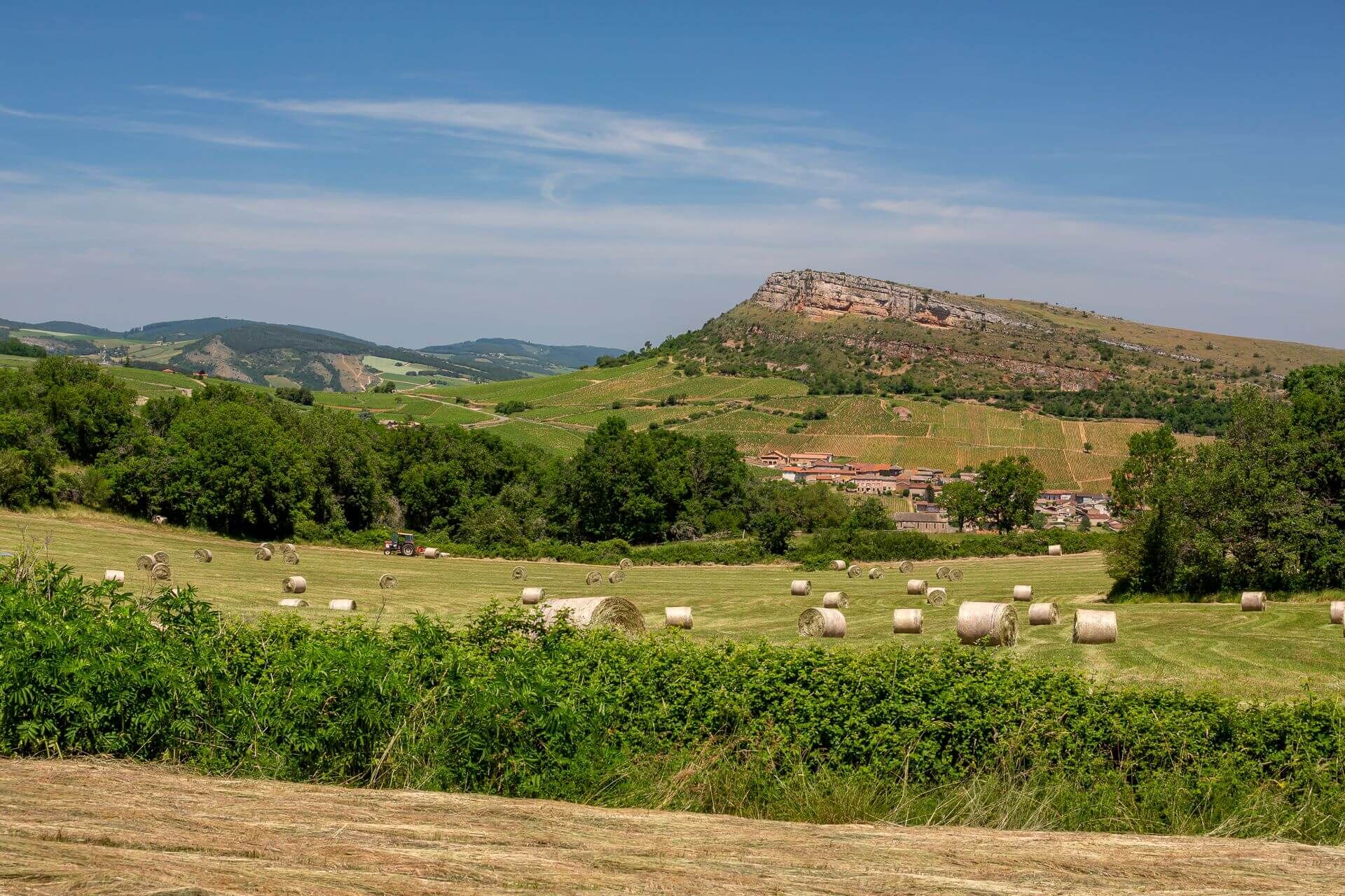
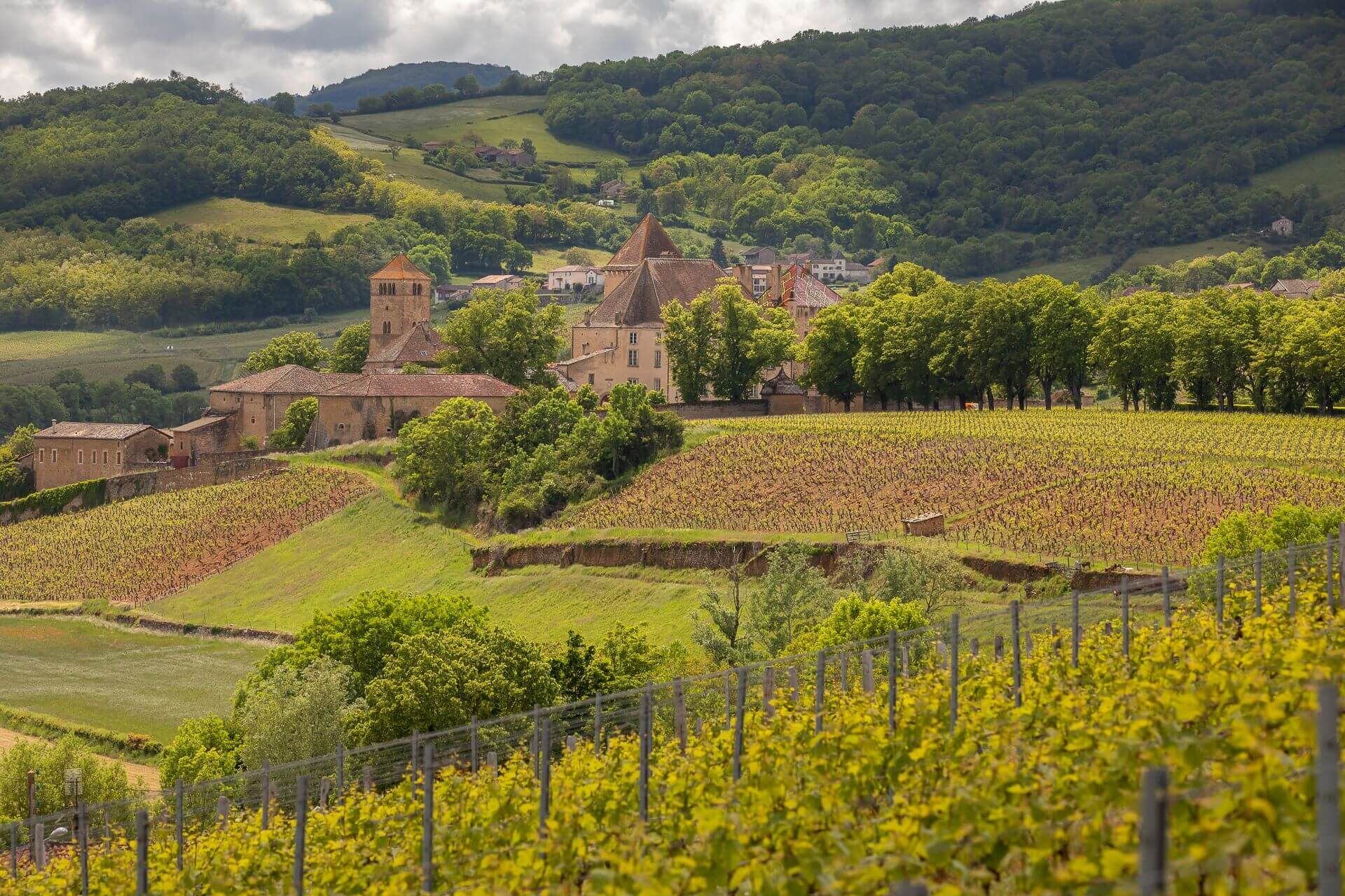
From Mâcon, the Voie Verte takes you to the vineyards of the Mâconnais. Here, the scenery reveals the famous Solutré and Vergisson rocks and all the beauty of this Grand Site de France. We then follow in the footsteps of Alphonse de Lamartine: his childhood village - Milly-Lamartine - where his house remains, the château de Pierreclos where he often stayed, and a passage near the château de Saint-Point where he lived until the end of his life. Gradually, the vineyards give way to a landscape alternating between meadows and woods. Stage 1 ends at Bourgvilain, a village nestling in the heart of gentle valleys, part of which is classified as a Natura 2000 area.
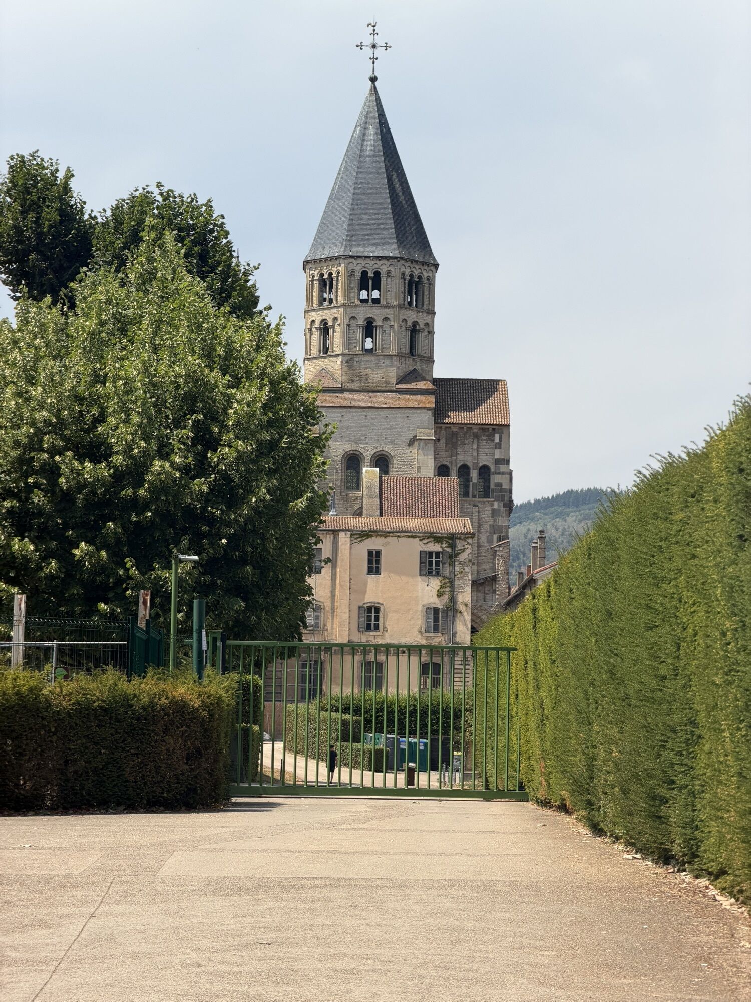
The romantic scenery of the Val Lamartinien then returns in the first few kilometres of stage 2, leaving Bourgvilain for La Roche-Vineuse, Berzé-la-Ville and Berzé-le-Châtel and its splendid medieval fortress. The route then runs through the woods of the Clunisois on the edge of the Haut-Mâconnais. Donzy-le-Pertuis offers lovely views of the countryside, which is shaped by hedged farmland in a mid-mountain microclimate. The route continues on to Azé, a village classified as a "Station Verte" (green resort) and famous for its rich underground network.
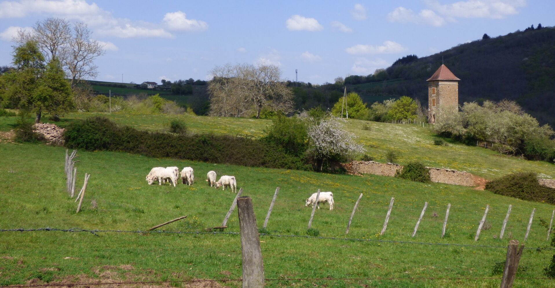
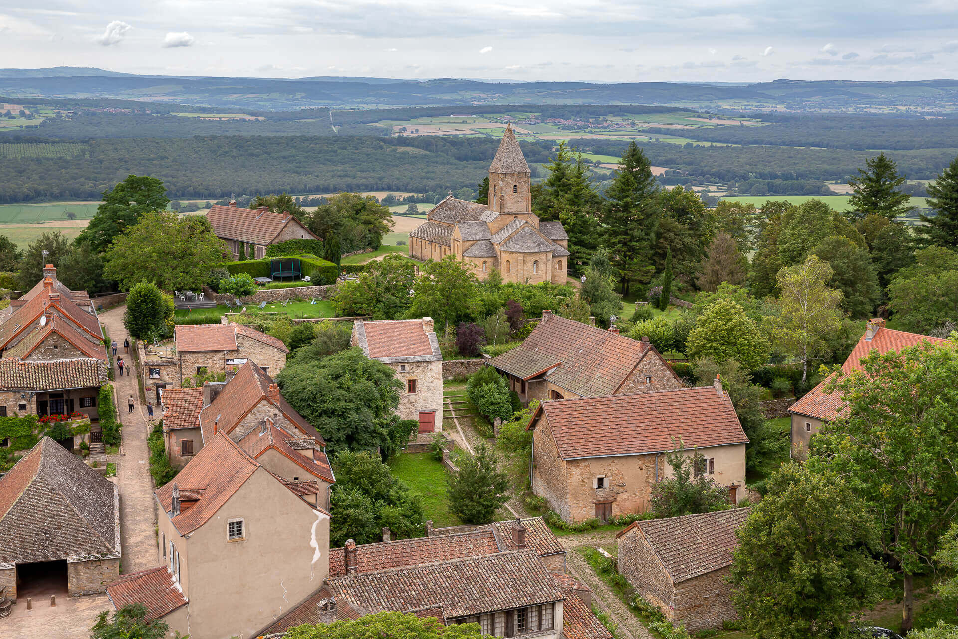
Stage 3 begins on the Rochebin massif, the "roof of the caves", a natural zone of ecological, faunistic and floristic interest, and then into the Clunisois countryside. Chissey-lès-Mâcon is an interesting stop-off for lovers of arts and crafts. Further on, passing near La Chapelle-sous-Brancion, at the foot of the fortified spur of Brancion, allows you to admire the village, its hamlets and its Romanesque church. After passing through the authentic village of Montceaux-Ragny, the route soon reaches Laives, where two orientation tables offer superb views over the Grosne valley, the Chalonnais region, Bresse, the Jura and the Alps. Finally, we head back south to Mancey and then Tournus. All around, the vineyards are regaining ground. Once in Tournus, a visit to the medieval town and abbey is a must.
The return journey to Mâcon can be made along the Voie Bleue. 32 km of cycle path along the banks of the Saône. You can also return by TER.
The romantic scenery of the Val Lamartinien then returns in the first few kilometres of stage 2, leaving Bourgvilain for La Roche-Vineuse, Berzé-la-Ville and Berzé-le-Châtel and its splendid medieval fortress. The route then runs through the woods of the Clunisois on the edge of the Haut-Mâconnais. Donzy-le-Pertuis offers lovely views of the countryside, which is shaped by hedged farmland in a mid-mountain microclimate. The route continues on to Azé, a village classified as a "Station Verte" (green resort) and famous for its rich underground network.
Stage 3 begins on the Rochebin massif, the "roof of the caves", a natural zone of ecological, faunistic and floristic interest, and then into the Clunisois countryside. Chissey-lès-Mâcon is an interesting stop-off for lovers of arts and crafts. Further on, passing near La Chapelle-sous-Brancion, at the foot of the fortified spur of Brancion, allows you to admire the village, its hamlets and its Romanesque church. After passing through the authentic village of Montceaux-Ragny, the route soon reaches Laives, where two orientation tables offer superb views over the Grosne valley, the Chalonnais region, Bresse, the Jura and the Alps. Finally, we head back south to Mancey and then Tournus. All around, the vineyards are regaining ground. Once in Tournus, a visit to the medieval town and abbey is a must.
The return journey to Mâcon can be made along the Voie Bleue. 32 km of cycle path along the banks of the Saône. You can also return by TER.
Parcours
Mont de Pouilly
(481 m)
Sommet
13,7 km
Église Saint-Jacques-le-Majeur
(303 m)
Lieu de culte
26,8 km
Église Saint-Denis
(285 m)
Lieu de culte
55,3 km
La Roche Coche
(546 m)
Sommet
80,5 km
Église Saint-Sébastien
(389 m)
Lieu de culte
84,0 km
Église Saint-Pierre
(252 m)
Lieu de culte
126,0 km
Col du Navois
(446 m)
Selle de montagne
156,9 km
Parcours
Les crêtes boisées du Mâconnais
moyen
VTT
170,75
km
Mâcon-Ville
(188 m)
Gare ferroviaire
0,0 km
Mâcon
(175 m)
Ville
0,1 km
Église Saint-Clément
(179 m)
Lieu de culte
0,2 km
Saint-Clément
(184 m)
Village
0,6 km
Les Blanchettes
(175 m)
Quartier de la ville
0,8 km
Le Charmillon
(205 m)
Quartier de la ville
3,8 km
La Lye
(204 m)
Lotissement
4,8 km
Vignes Guérin
(209 m)
Quartier de la ville
4,9 km
Balme
(189 m)
Quartier de la ville
5,9 km
Loché
(223 m)
Village
7,7 km
Sur les Molards
(321 m)
Lotissement
8,8 km
Fuissé
(244 m)
Village
9,7 km
Le Chapal
(237 m)
Lotissement
9,8 km
En Collonge
(235 m)
Lotissement
9,9 km
Pouilly
(274 m)
Lotissement
10,9 km
Église Saint-Pierre
(281 m)
Lieu de culte
11,4 km
Barvay
(307 m)
Lotissement
11,8 km
Mont de Pouilly
(481 m)
Sommet
13,7 km
Le Gros Bois
(448 m)
Lotissement
15,2 km
La Grange du Bois
(527 m)
Lotissement
17,1 km
Moulin Gabot
(235 m)
Lotissement
23,9 km
Les Fuchats
(254 m)
Lotissement
24,3 km
Bussières
(276 m)
Village
24,9 km
La Chize
(330 m)
Lotissement
25,8 km
Église Saint-Jacques-le-Majeur
(303 m)
Lieu de culte
26,8 km
L'auberge de Jack
(304 m)
Restaurant
26,8 km
Milly-Lamartine
(311 m)
Village
26,9 km
Le Chalument
(337 m)
Lotissement
29,9 km
Le Carruge
(299 m)
Quartier de la ville
30,5 km
Pierreclos
(268 m)
Village
30,6 km
Le Fou
(345 m)
Lotissement
31,2 km
La Varenne
(376 m)
Lotissement
31,2 km
Les Margots
(310 m)
Lotissement
31,9 km
La Roche
(331 m)
Lotissement
32,8 km
Serrières
(316 m)
Village
33,6 km
La Croix
(304 m)
Lotissement
34,1 km
La Farge
(313 m)
Lotissement
34,5 km
Les Monterrains
(396 m)
Lotissement
35,0 km
Bois-Saint
(470 m)
Lotissement
36,0 km
Les Provenchères
(430 m)
Lotissement
37,4 km
Les Fougères
(565 m)
Lotissement
38,8 km
Le Grand Chemin
(523 m)
Lotissement
42,1 km
Champvent
(470 m)
Lotissement
42,7 km
Les Trèves
(460 m)
Lotissement
43,0 km
Les Morats
(457 m)
Lotissement
44,3 km
La Garenne
(463 m)
Quartier de la ville
44,4 km
La Chevrotte
(459 m)
Lotissement
44,7 km
Tramayes
(467 m)
Village
45,0 km
Église Saint-Jean-Baptiste
(480 m)
Lieu de culte
45,3 km
Fontaine Verdine
(573 m)
Lotissement
50,3 km
Les Grands Gouillats
(454 m)
Lotissement
52,2 km
Les Sardyz
(350 m)
Lotissement
53,4 km
Bourgvilain
(283 m)
Village
55,2 km
Larochette Aubergiste
(285 m)
Restaurant
55,3 km
Église Saint-Denis
(285 m)
Lieu de culte
55,3 km
Lotissement des Vignes
(322 m)
Quartier de la ville
55,6 km
Les Meuriers
(308 m)
Lotissement
55,7 km
La Pierre Sauvage
(527 m)
Restaurant
58,9 km
Le Cottier
(355 m)
Lotissement
65,2 km
Sologny
(307 m)
Village
66,3 km
La Croix-Blanche
(272 m)
Lotissement
66,9 km
Les Furtins
(284 m)
Lotissement
67,3 km
Chapelle des Moines
(323 m)
Lieu de culte
67,8 km
Berzé-la-Ville
(334 m)
Village
68,4 km
Église de la Purification de la Vierge
(323 m)
Lieu de culte
68,7 km
Lapalue
(262 m)
Lotissement
73,0 km
Escolles
(272 m)
Lotissement
73,2 km
La Mure
(282 m)
Lotissement
74,9 km
Vanzé
(281 m)
Lotissement
75,1 km
Verzé
(281 m)
Village
76,2 km
Les Terres Derrières
(293 m)
Lotissement
76,5 km
Mont Chevreuil
(464 m)
Sommet
78,3 km
Mont de la Fâ
(506 m)
Sommet
79,1 km
Berzé-la-Ville
(334 m)
Village
80,4 km
La Roche Coche
(546 m)
Sommet
80,5 km
Mont Perret
(480 m)
Couloir/terrain
81,9 km
Le Perret
(447 m)
Lotissement
82,6 km
Berzé-le-Châtel
(379 m)
Village
83,9 km
Les Raveaux
(408 m)
Lotissement
83,9 km
Église Saint-Sébastien
(389 m)
Lieu de culte
84,0 km
Les Baudys
(387 m)
Lotissement
84,1 km
Les Thinons
(423 m)
Lotissement
84,8 km
En Pain Chaud
(244 m)
Quartier de la ville
93,0 km
Les Brouillards
(244 m)
Quartier de la ville
93,2 km
Bellecroix
(237 m)
Quartier de la ville
93,5 km
Cluny
(241 m)
Village
93,9 km
Narancy
(340 m)
Lotissement
99,5 km
Les Quatre Vents
(488 m)
Lotissement
101,4 km
Donzy-le-Pertuis
(429 m)
Village
102,3 km
La Filatière
(435 m)
Lotissement
102,8 km
En Fourgeau
(275 m)
Quartier de la ville
111,2 km
Azé
(247 m)
Village
112,2 km
Rizerolles
(247 m)
Lotissement
112,5 km
Montchanin
(260 m)
Lotissement
112,5 km
La Verzée
(344 m)
Lotissement
117,2 km
Moulin aux Grues
(242 m)
Lotissement
124,5 km
Chissey-lès-Mâcon
(251 m)
Village
126,0 km
Église Saint-Pierre
(252 m)
Lieu de culte
126,0 km
Prayes
(243 m)
Lotissement
126,4 km
L'Auberge du Grison
(237 m)
Restaurant
126,7 km
L'Échelette
(344 m)
Lotissement
130,2 km
La Fait
(411 m)
Couloir/terrain
131,6 km
Brancion
(371 m)
Lotissement
132,7 km
En Néguerre
(279 m)
Couloir/terrain
133,9 km
La Chapelle-sous-Brancion
(271 m)
Village
134,1 km
Sous le Devant
(286 m)
Couloir/terrain
134,7 km
Le Bout de Balleure
(265 m)
Couloir/terrain
139,0 km
Balleure
(259 m)
Lotissement
139,1 km
Étrigny
(262 m)
Village
140,5 km
Veneuse
(296 m)
Lotissement
140,7 km
Corlay-le-Haut
(350 m)
Quartier de la ville
143,0 km
Corlay
(345 m)
Lotissement
143,0 km
Lenoux
(217 m)
Lotissement
148,9 km
Le Bas de Sermaisey
(200 m)
Quartier de la ville
149,1 km
Laives
(200 m)
Village
149,1 km
Montagne de Saint-Martin
(293 m)
Couloir/terrain
150,2 km
Saint-Germain-des-Buis
(416 m)
Couloir/terrain
154,7 km
Col du Navois
(446 m)
Selle de montagne
156,9 km
Vers
(263 m)
Village
159,4 km
Église Saint-Félix
(250 m)
Lieu de culte
159,5 km
A La Cure
(248 m)
Couloir/terrain
159,5 km
En Marchefeu
(251 m)
Lotissement
160,9 km
Dulphey
(242 m)
Village
161,1 km
Moulin Mutin
(210 m)
Lotissement
162,7 km
A Robalot
(226 m)
Lotissement
162,8 km
Le Roi Guillaume
(300 m)
Lotissement
164,4 km
Beaufer
(251 m)
Lotissement
167,4 km
L'Ambre
(223 m)
Lotissement
168,2 km
Tournus
(177 m)
Ville
170,2 km
Tournus
(192 m)
Gare ferroviaire
170,5 km
Auteur
La visite Les crêtes boisées du Mâconnais est fournie par outdooractive.com.

Consignes de sécurité
En cas d'urgence, composez le 112
Informations sur l'itinéraire
Itinéraire
Pensez au covoiturage
Transports en commun
Parking
Parking à proximité du point de départ
Infos complémentaires & conseils
Niveau de difficulté
S1
Informations supplémentaires
Mâcon Sud Bourgogne, Tourisme et Congrès http://www.macon-tourism.com
Pas encore d'évaluation
Parcours populaires à proximité
-
5,0
Les secrets de la Roche de Solutré
moyenRandonnée 3,97 km -
Le chemin des Moines
moyenRandonnée 35,0 km -
CycloRoute71 - Etape 1 de Mâcon à Cormatin
moyenFaire du vélo 51,1 km -
Les confidences de la Roche de Vergisson
facileRandonnée 3,02 km -
Le Marais de Massilly
facileRandonnée 0,20 km -
Escapade nature - De Mâcon Loché à La Grange du Bois
moyenRandonnée 13,8 km -
Escapade Nature au cœur du Grand Site de France Solutré Pouilly Vergisson
moyenRandonnée 29,9 km -
Les Chemins de Saint-Jacques de Compostelle de Cluny au Puy-en-Velay
facileRandonnée 23,5 km -
Du toit des grottes à la Mouge
facileRandonnée 1,25 km -
Dans les pas du Poète - Milly-Lamartine
moyenRandonnée 11,9 km

Randonnée et suivi

Plus de 550.000 propositions de circuits, des cartes détaillées et un planificateur d'itinéraire intuitif font de cette application un must pour tous les passionnés de nature.

Ne manquez pas les offres et l'inspiration pour vos prochaines vacances
S'inscrire à la newsletter
Erreur
Une erreur s'est produite. Veuillez réessayer.
Merci pour votre inscription
Votre adresse électronique a été ajouté à la liste de diffusion.
Parcours en Europe
Autriche
Suisse
Allemagne
Italie
Slovénie
France
Pays-Bas
Belgique
Pologne
Liechtenstein
République tchèque
Slovaquie
Espagne
Croatie
Bosnie-Herzégovine
Luxembourg
Andorre
Portugal
Islande
Royaume-Uni
Irlande
Grèce
Albanie
Macédoine du Nord
Malte
Norvège
Monténégro
Moldavie
Kosovo
Hongrie
Saint-Marin
Roumanie
Estonie
Lettonie
Bélarus
Chypre
Lituanie
Serbie
Bulgarie
Monaco
Danemark
Suède
Finlande





