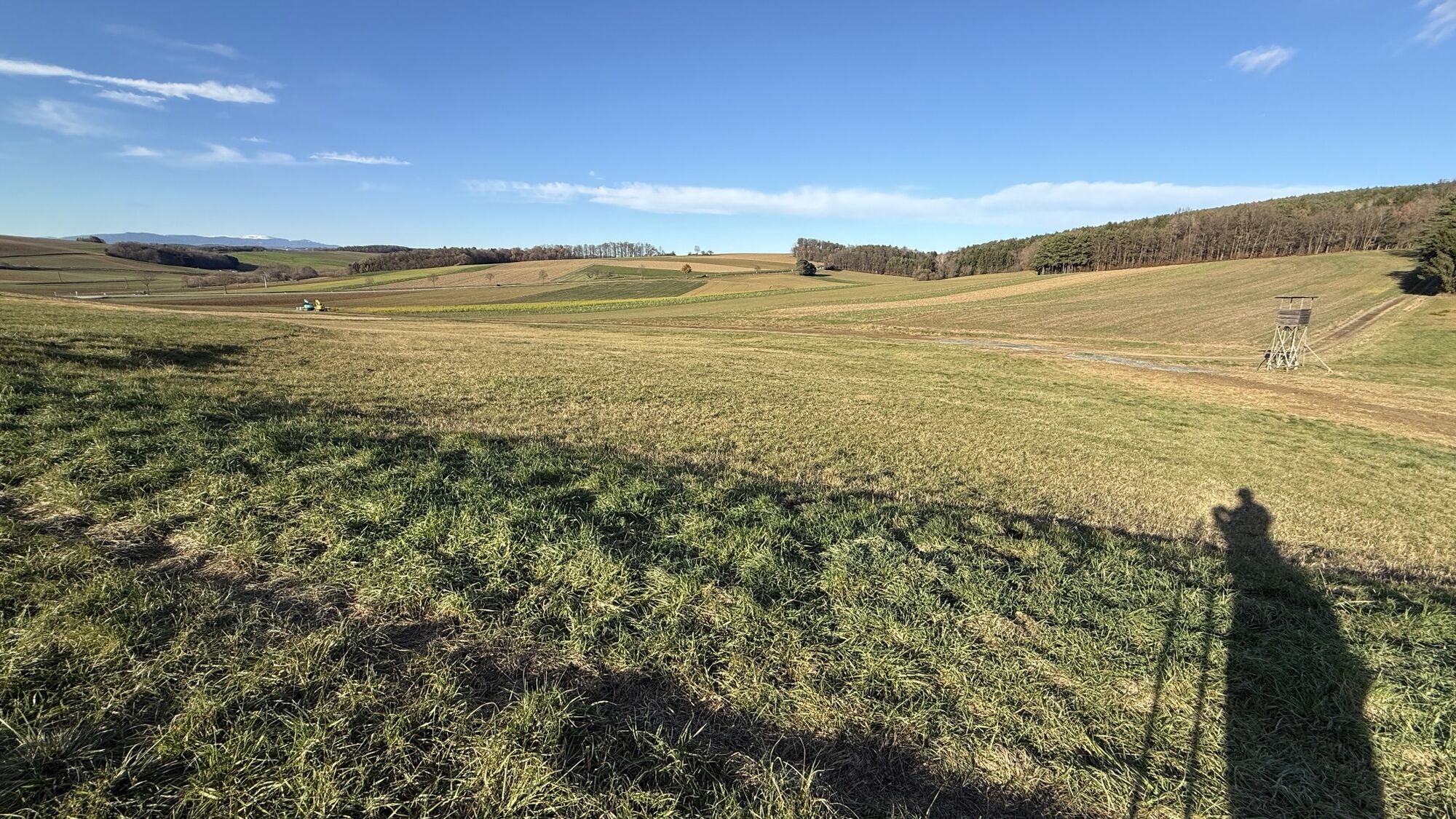
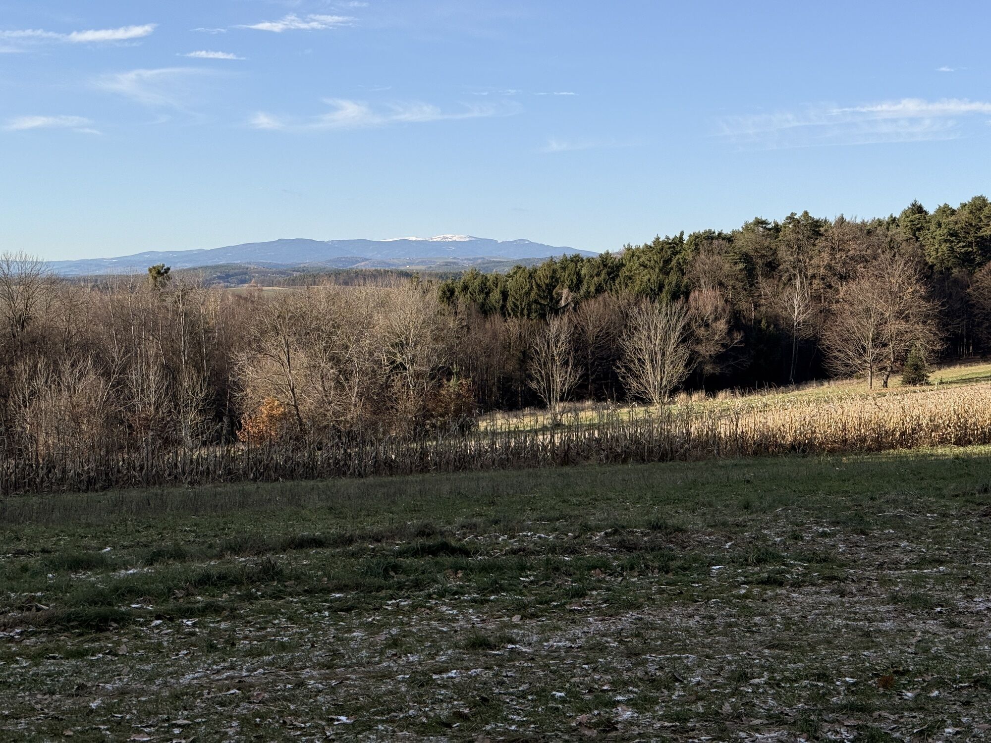
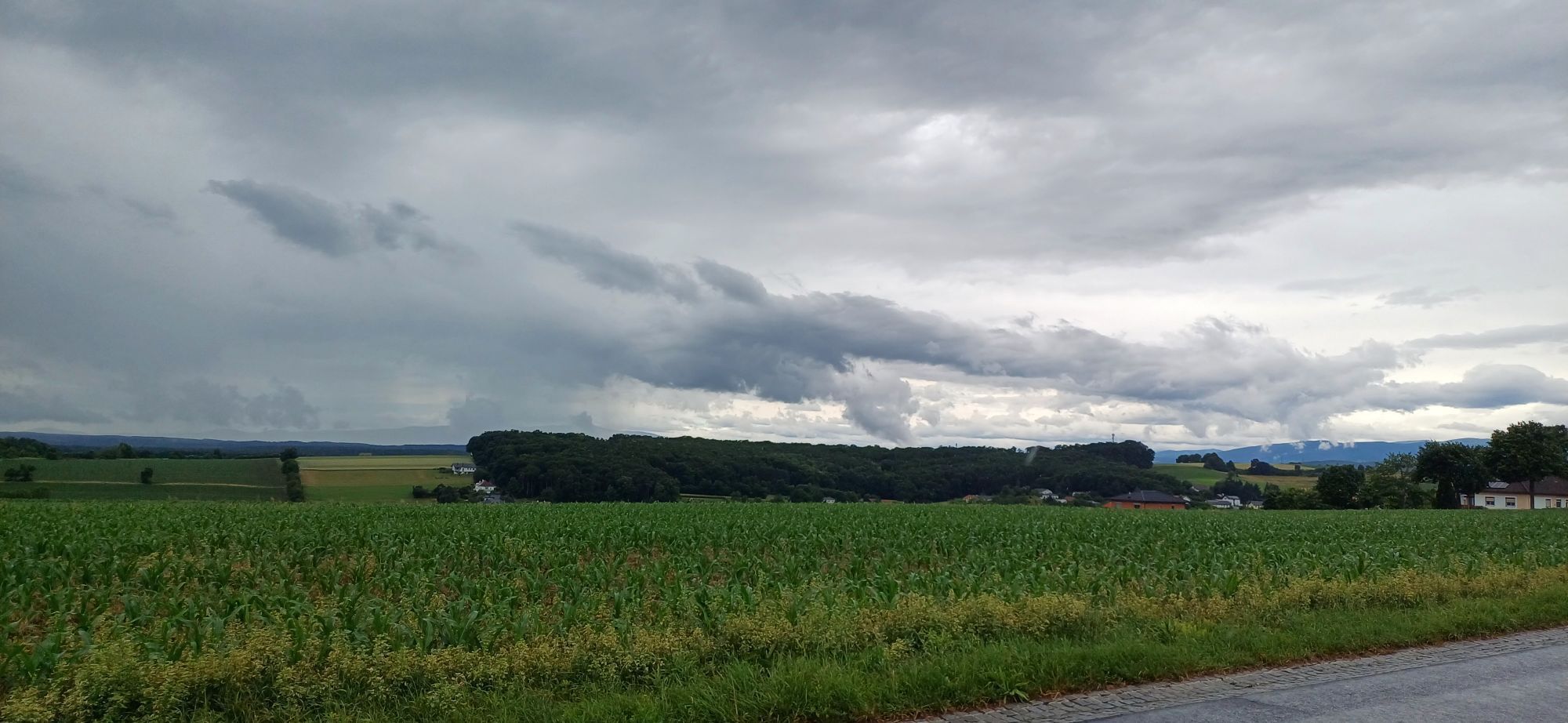
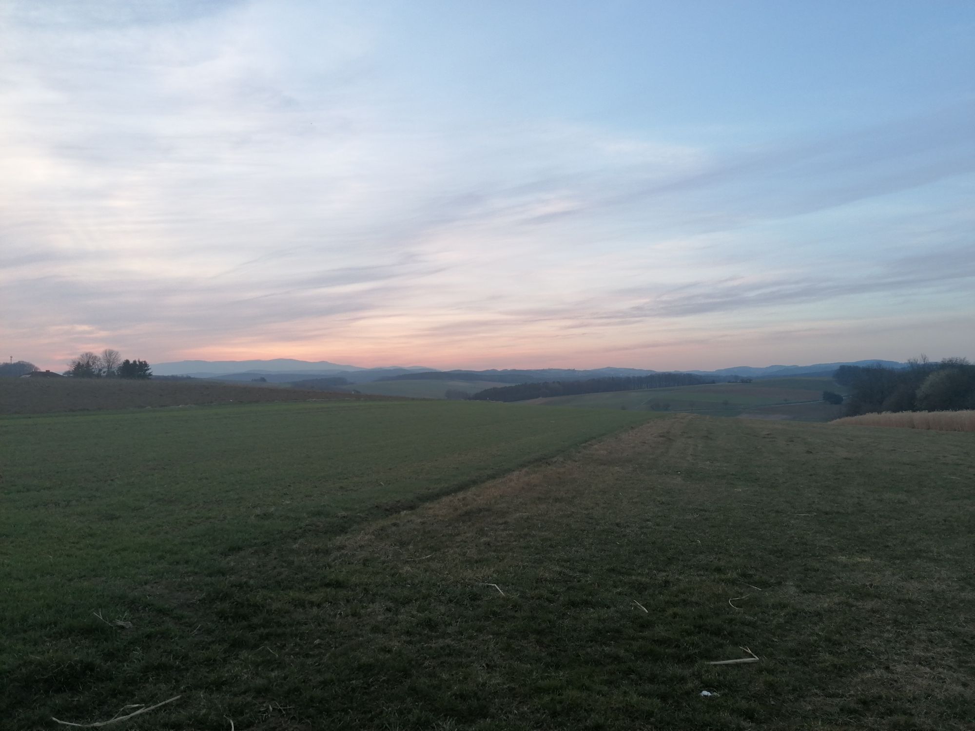
Sulzriegel Waldrunde Jormannsdorf, Burgenland
facile
Télécharge cette visite sur ton portable
Sulzriegel Waldrunde Jormannsdorf, Burgenland
facile
Randonnée
4,88
km
Scanner le code QR et commencer la navigation dans l'application bergfex

Randonnée & tracking


Sulzriegel Waldrunde Jormannsdorf, Burgenland
facile
Distance
4,88
km
Durée
01:26
h
Ascension
65
m
Altitude
383 -
448
m
Téléchargement de la piste
Sulzriegel Waldrunde Jormannsdorf, Burgenland
facile
Randonnée
4,88
km

29.03.2020
Parcours
Parcours
Sulzriegel Waldrunde Jormannsdorf, Burgenland
facile
Randonnée
4,88
km
Informations sur l'itinéraire
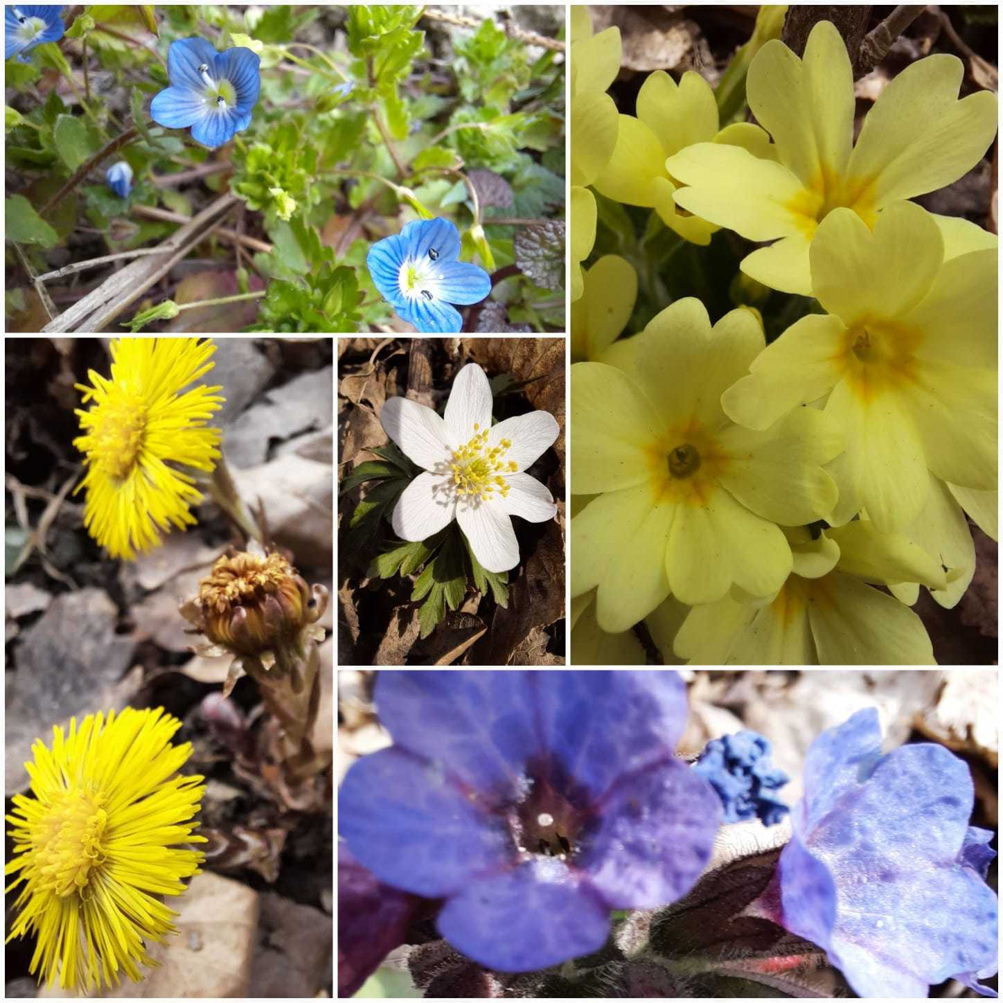
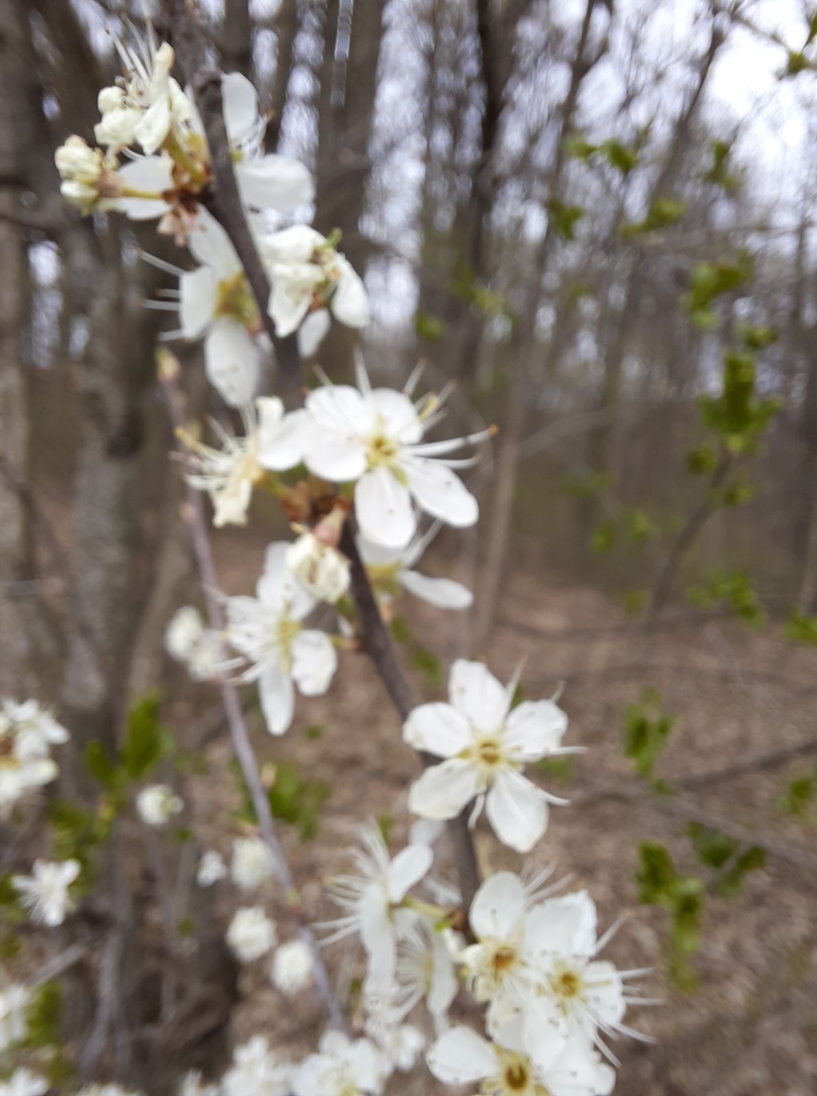
Zone forestière
Oui
Évaluations
1 Commentaire
Daniela Aufinger
15. nov.. 2025
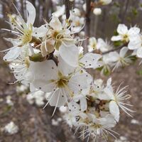
Schöne ruhige Tour durch wunderschöne Bichenwälder
Parcours populaires à proximité
- 4,7
S21 Parcours de la paix
facileRandonnée 11,4 km - 4,3
Parcours cyclable sur l'ancienne voie ferrée
moyenFaire du vélo 41,6 km - 4,4
Bad Schönau - Hutwisch
facileRandonnée 9,99 km - 4,4
B53 Edelserpentin
moyenFaire du vélo 23,5 km - 4,3
Randonnée sommitale
difficileRandonnée 20,6 km - 4,4
BAD-SCHÖNAU Hutwisch und wieder zurück 20220611
moyenRandonnée 10,8 km - 4,8
Chemin d'expérience pour enfants Bakabu jusqu'à Hutwisch
moyenChemin thématique 5,42 km - 5,0
Südburgenländischer Bahntrassen-Radweg
facileFaire du vélo 67 km - 4,1
Geschriebenstein
facileRandonnée 3,90 km - 3,0
Günser Gebirge: Geschriebenstein
facileRandonnée 7,61 km
Randonnée et suivi

Plus de 550.000 propositions de circuits, des cartes détaillées et un planificateur d'itinéraire intuitif font de cette application un must pour tous les passionnés de nature.

Ne manquez pas les offres et l'inspiration pour vos prochaines vacances
S'inscrire à la newsletter
Erreur
Une erreur s'est produite. Veuillez réessayer.Merci pour votre inscription
Votre adresse électronique a été ajouté à la liste de diffusion.
Parcours en Europe
Autriche Suisse Allemagne Italie Slovénie France Pays-Bas Belgique Pologne Liechtenstein République tchèque Slovaquie Espagne Croatie Bosnie-Herzégovine Luxembourg Andorre Portugal Islande Royaume-Uni Irlande Grèce Albanie Macédoine du Nord Malte Norvège Monténégro Moldavie Kosovo Hongrie Saint-Marin Roumanie Estonie Lettonie Bélarus Chypre Lituanie Serbie Bulgarie Monaco Danemark Suède Finlande