



Lake Thun Loop

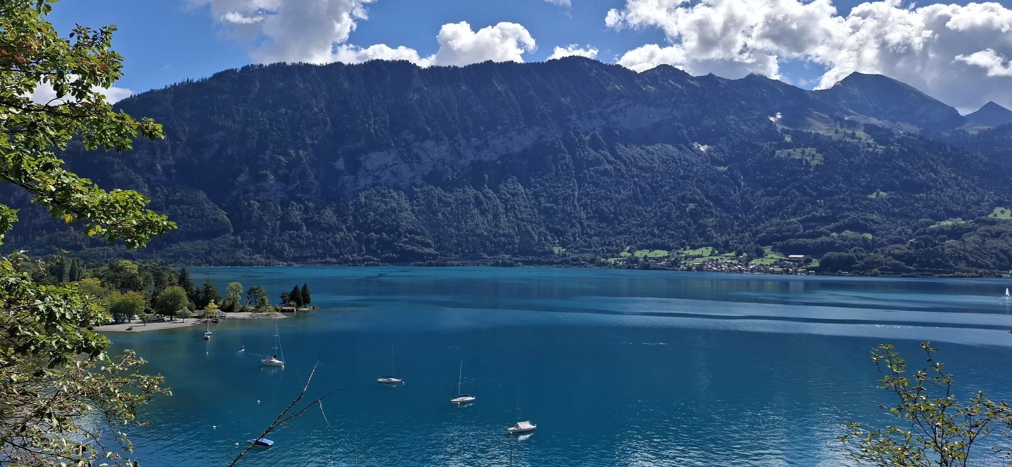
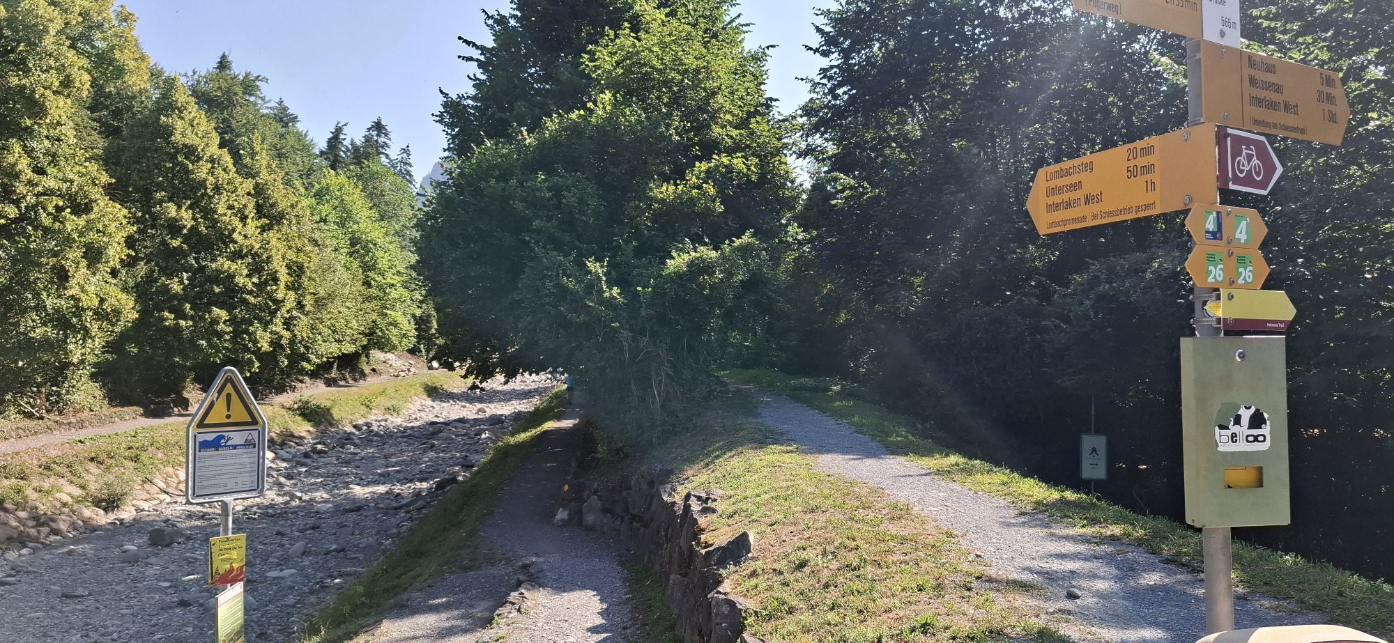
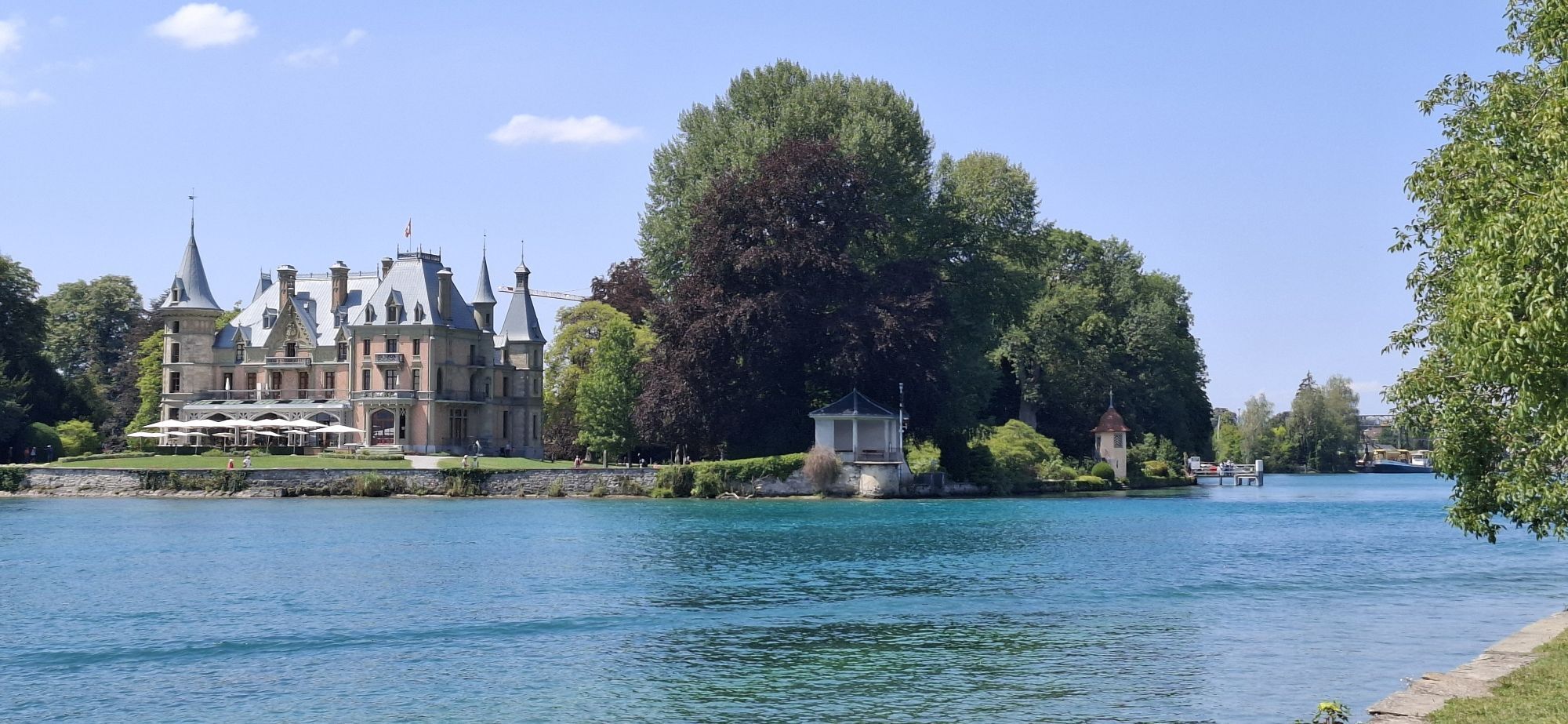
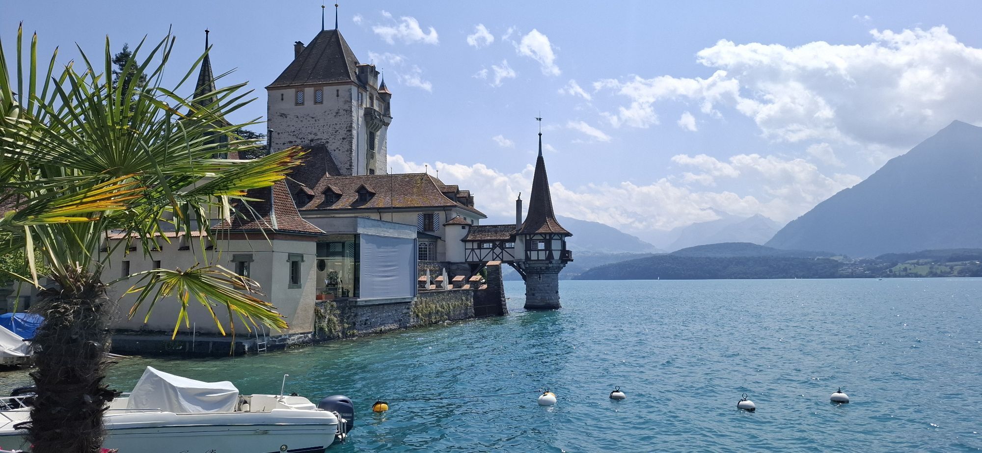




This bicycle tour along the panoramic circular trail around Lake Thun reveals ever-changing views of the deep blue waters and surrounding mountains. The loop takes you from Sigriswil to Oberhofen and then...
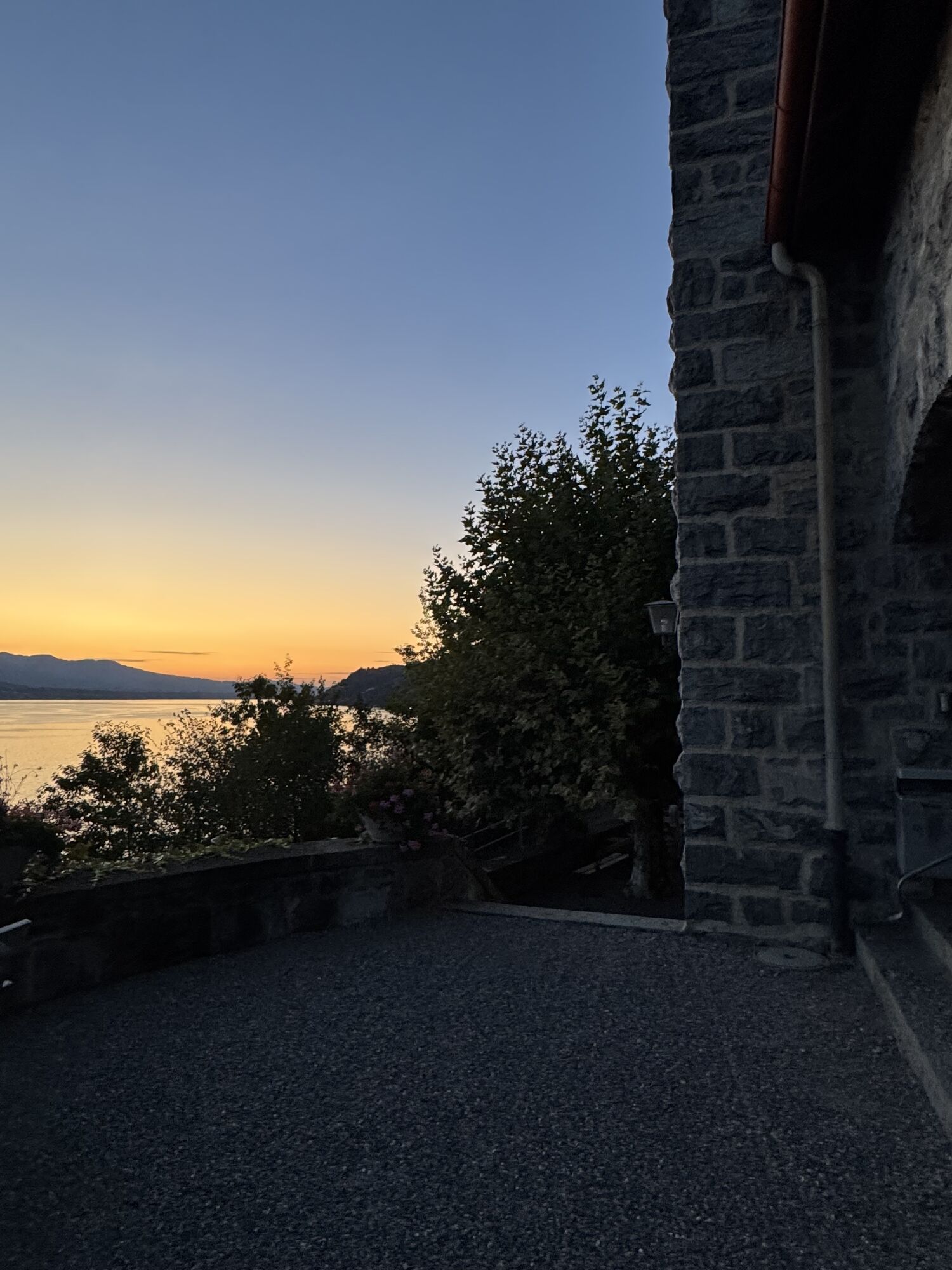
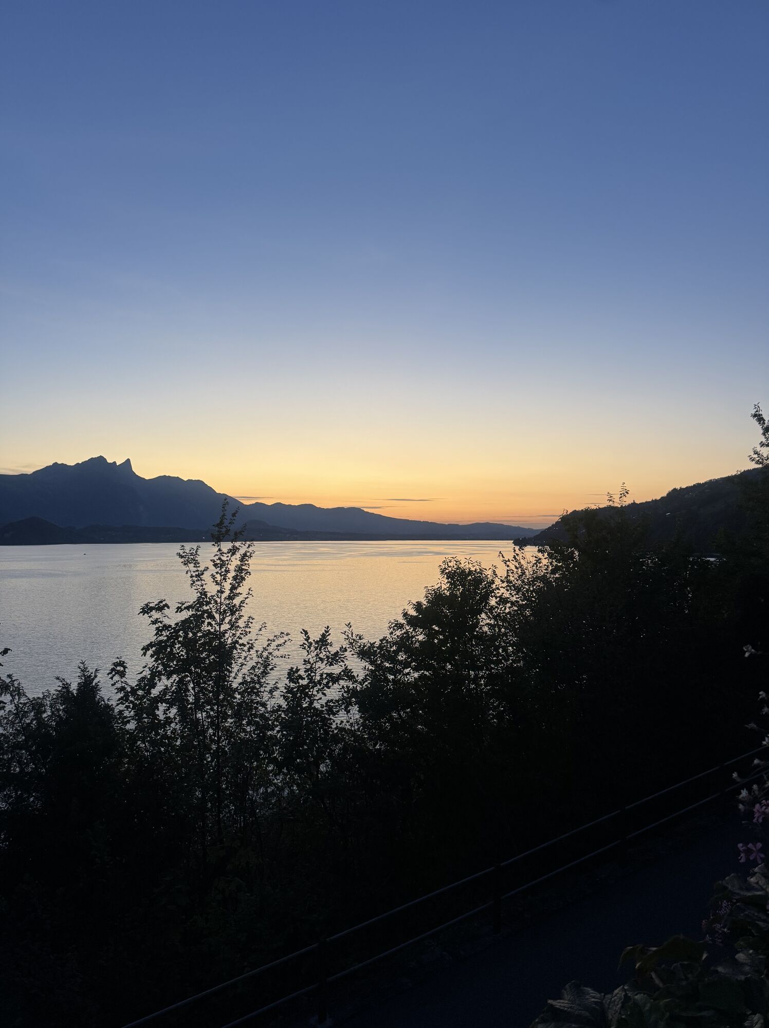
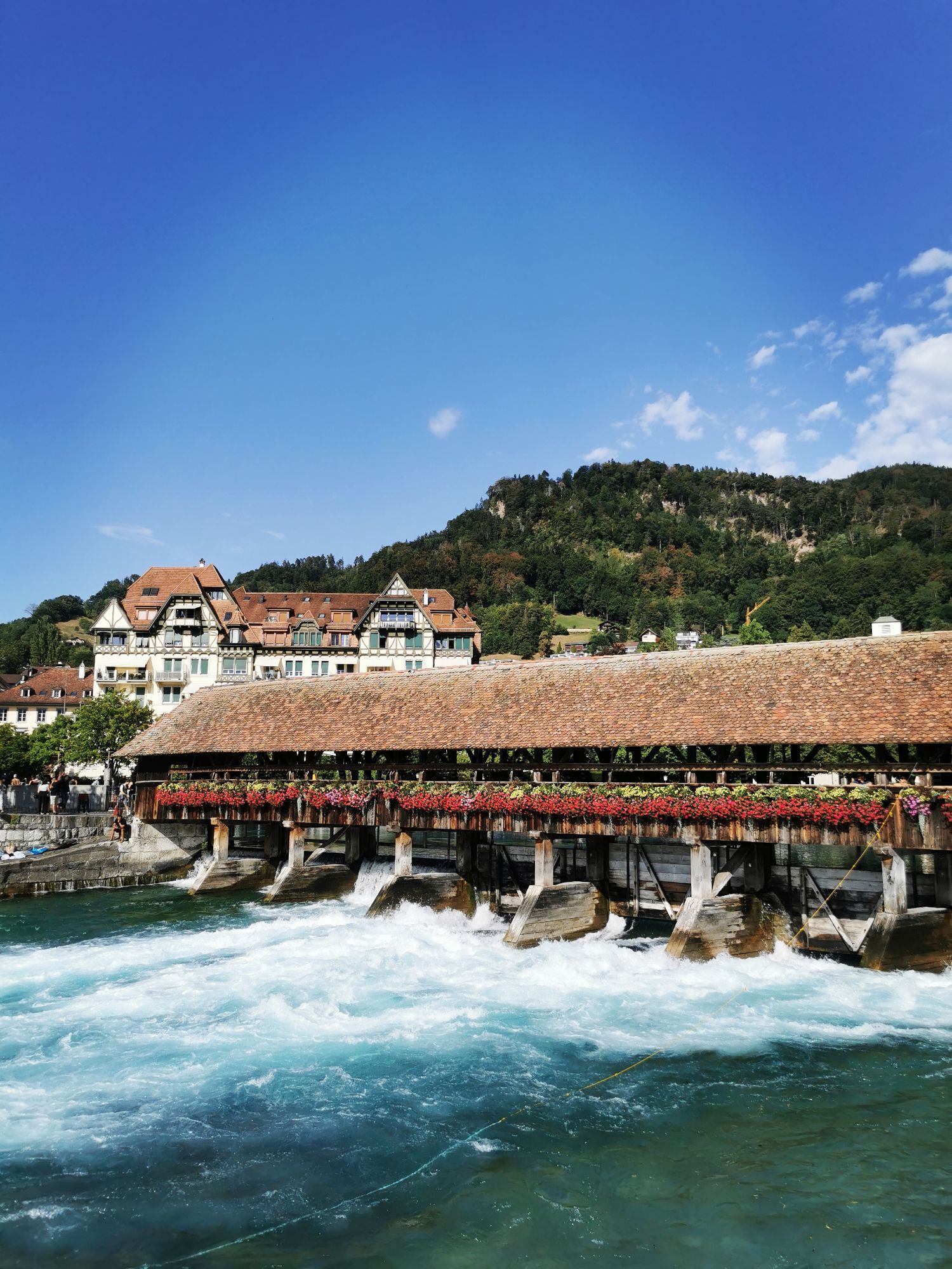
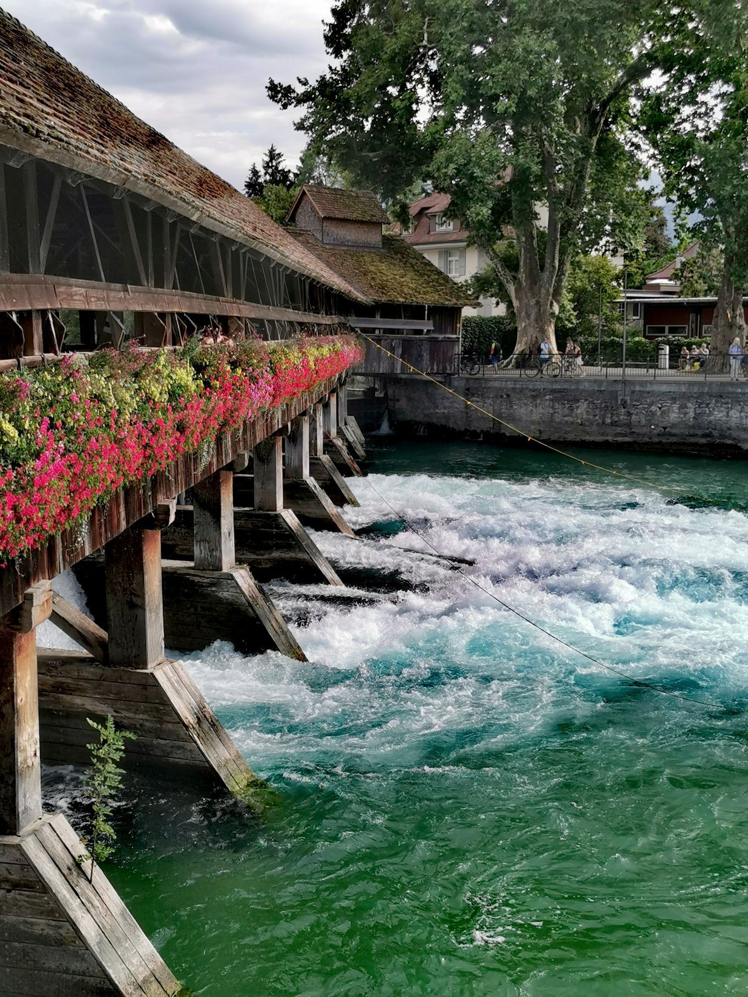
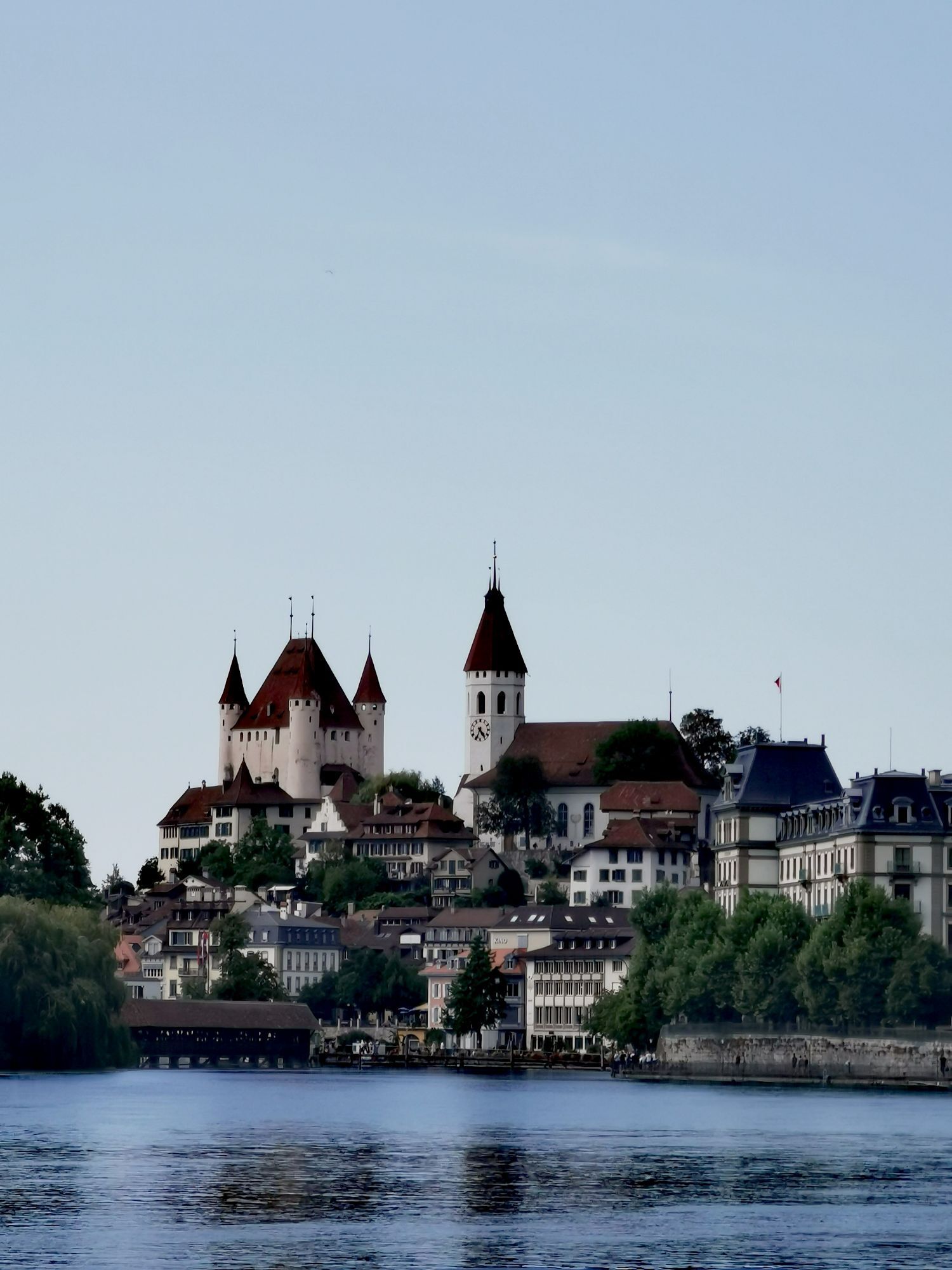
This bicycle tour along the panoramic circular trail around Lake Thun reveals ever-changing views of the deep blue waters and surrounding mountains. The loop takes you from Sigriswil to Oberhofen and then via Hünibach to Thun. Along the way you pass idyllic villages, green meadows and even historic buildings and castles. In the pleasant town of Thun, it's worth making a short stop to recharge your batteries in one of the restaurants located directly on the Aare. The route continues via Gwatt and Spiez to Krattigen.
This is followed by a challenging ascent on a hiking trail with a short descent of stairs to the suspension bridge in Leissigen. The descent to Därligen is not without its challenges either, over hill and dale along a hiking trail with obstacles that are difficult to pass. The bike has to be pushed in places.
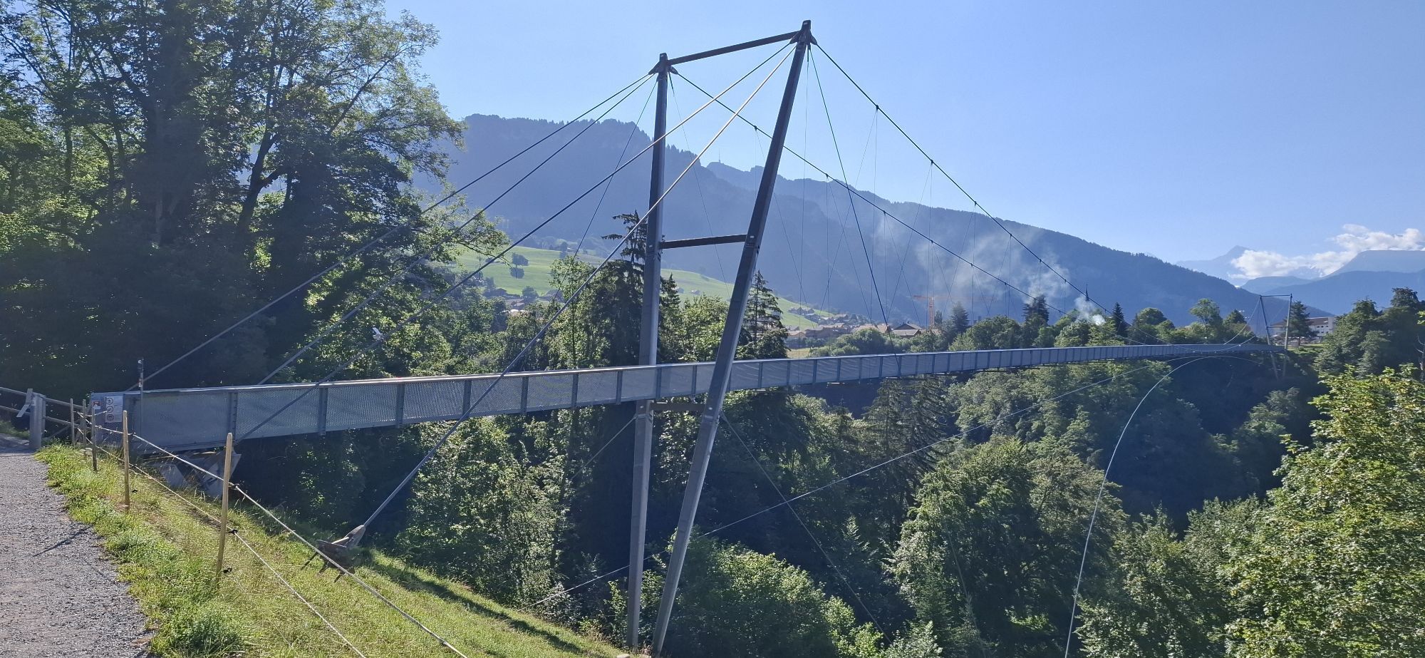
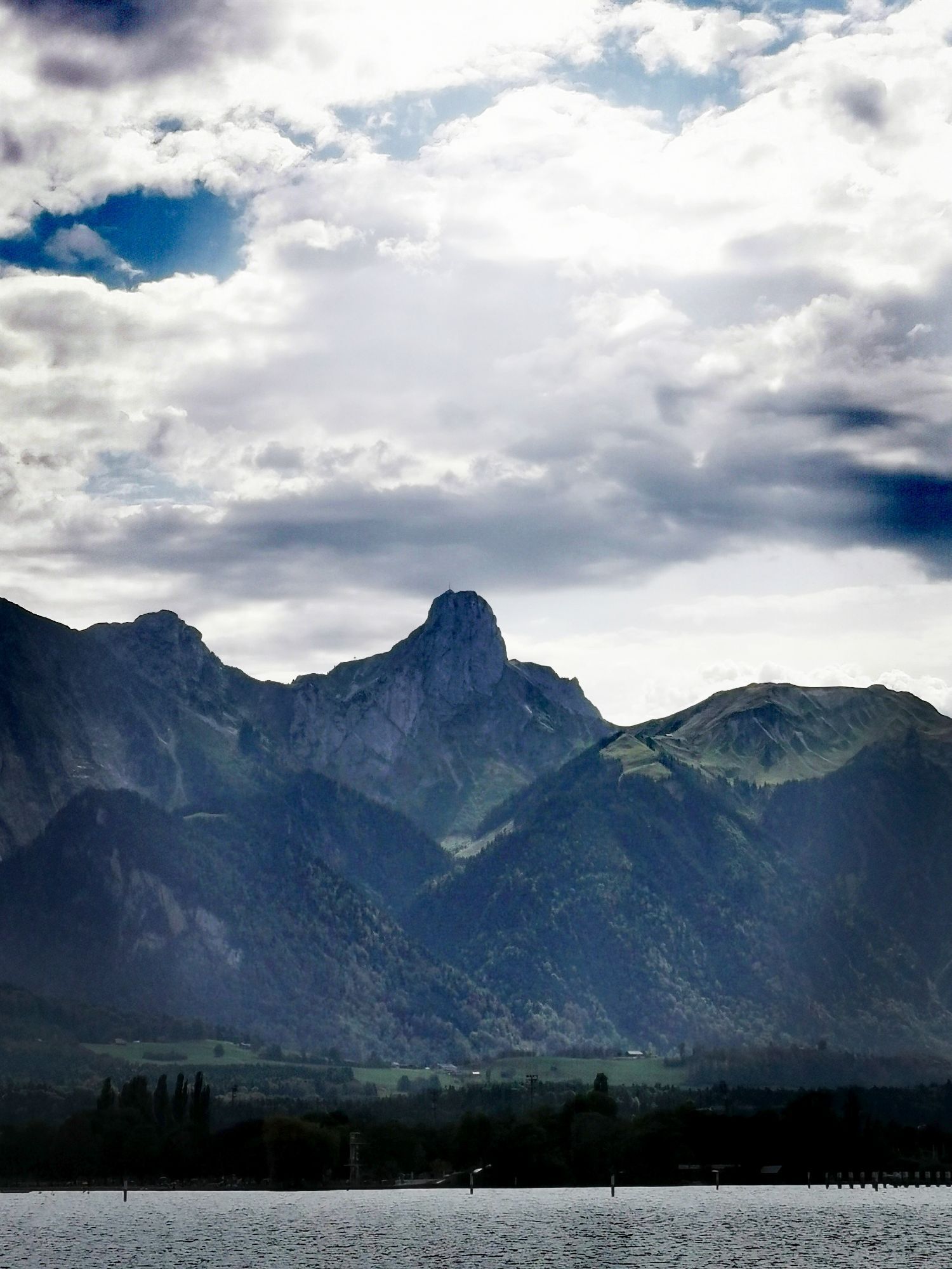
Is that too strenuous for you? Cycle around this section from Krattigen through the village of Leissigen to Därligen on the cycle path along the main road. After Unterseen, a short climb leads to the St. Beatus Caves, on to Merligen and back to Sigriswil. The tour mostly leads along roads with little traffic and natural roads, except between Sundlauenen (St. Beatus Caves) and Merligen. A beautiful view of the mountains and the lake is guaranteed. Two highlights await you on the way: The crossing of the 340-metre-long and 180-metre-high panoramic suspension bridge in Sigriswil and the 142-metre-long suspension bridge in Leissigen.

Sigriswil - Aeschlen - Oberhofen - Hünibach - Thun - Gwatt - Einigen - Spiezmoos - Krattigen - Meielisalp - Därligen - Unterseen - St. Beatus-Höhlen - Merligen - Sigriswil or the opposite direction.
Short descent down steps before the suspension bridge at Leissigen
If you choose the alternative route, the following information applies:
Time: 3.5h
fitness level: 4
Adventure value: 4
Technique: 2
Webcams de la tournée
-
Beatenberg - Chalet Birkli
-
Beatenberg/Waldegg
-
Thunersee - Neuhaus
-
Bönigen - Brienzersee
-
Sternwarte - Planetarium Sirius
-
Panoramabrücke Sigriswil
-
Niesen
-
Harder Kulm
-
Heiligenschwendi
-
Aeschiried Restaurant Panorama
-
Skihütte Aeschiallmend
-
Skihütte Aeschiallmend
-
Merligen Hotel Beatus
-
Interlaken - Casino
-
Interlaken - Niederhorn
-
Schönberg Gunten
-
Niederhornbahn
-
Front de Neige - Pralognan la Vanoise

Parcours populaires à proximité
-
4,8
Augstmatthorn
facileRandonnée 10,9 km -
4,8
Mülenen - Glogghore - Niesen - Niesen Kulm
difficileRandonnée 7,86 km -
3,7
Sieben Hengste
difficileRandonnée 13,7 km -
4,2
Niederhorn-Burgfeldstand-Gemmenalphorn-Justistal-Beatenberg
moyenRandonnée 18,1 km -
4,7
Schynige Platte - Daube - Gumihorn
facileRandonnée 5,86 km -
3,8
Lobhornhütte / Sulseewli
moyenRandonnée 7,14 km -
5,0
Rundweg Interlaken-Harder Kulm
facileRandonnée 10,9 km -
3,1
Aeschiried - Suldtal - Pochtenfall - Brunni - Greberegg - Aeschiried
moyenRandonnée 13,8 km -
4,0
Morgenberghorn
moyenRandonnée 9,60 km -
4,0
Niederhorn-Oberburgfeld-Gemmenalp Oberberg-Waldegg
Randonnée 9,60 km
Randonnée et suivi


Ne manquez pas les offres et l'inspiration pour vos prochaines vacances
Votre adresse électronique a été ajouté à la liste de diffusion.


