


Lake Brienz Loop

Starting at Interlaken Ost railway station, this tour leads alongside the River Aare to the tall iron railway bridge. After a winding ascent and riding through Ringgenberg village, continue along the surfaced...
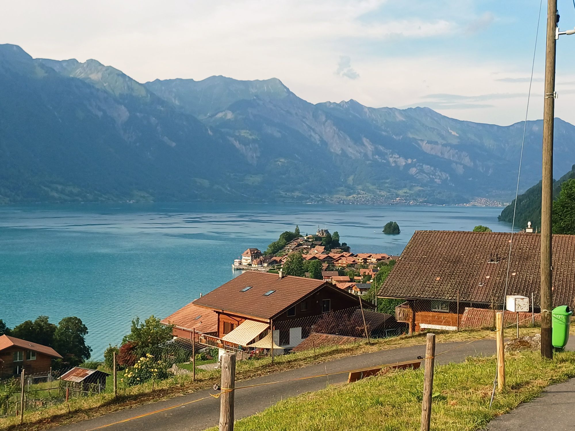
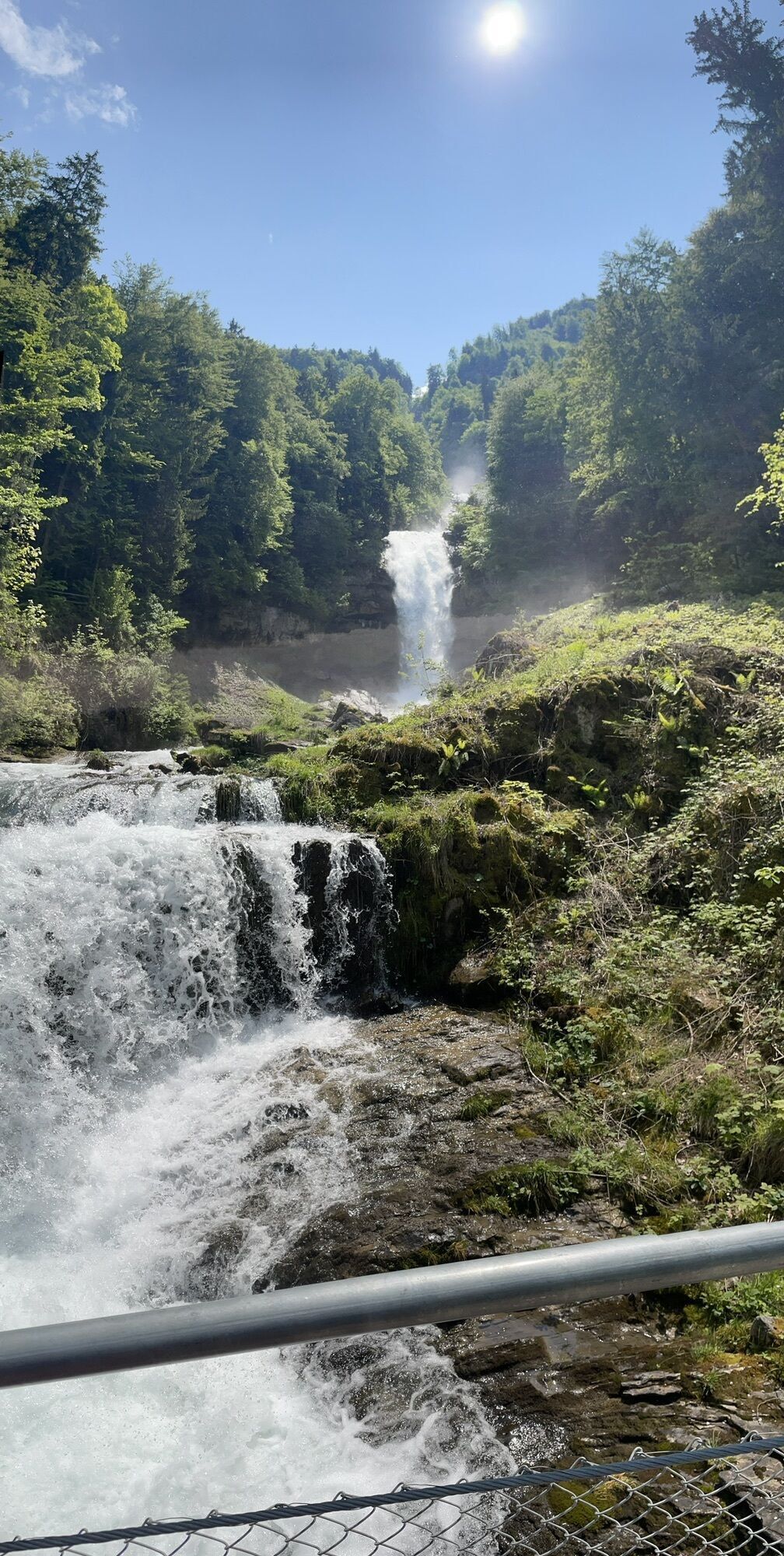
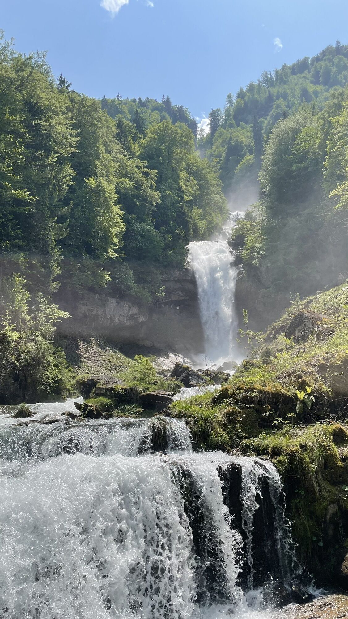
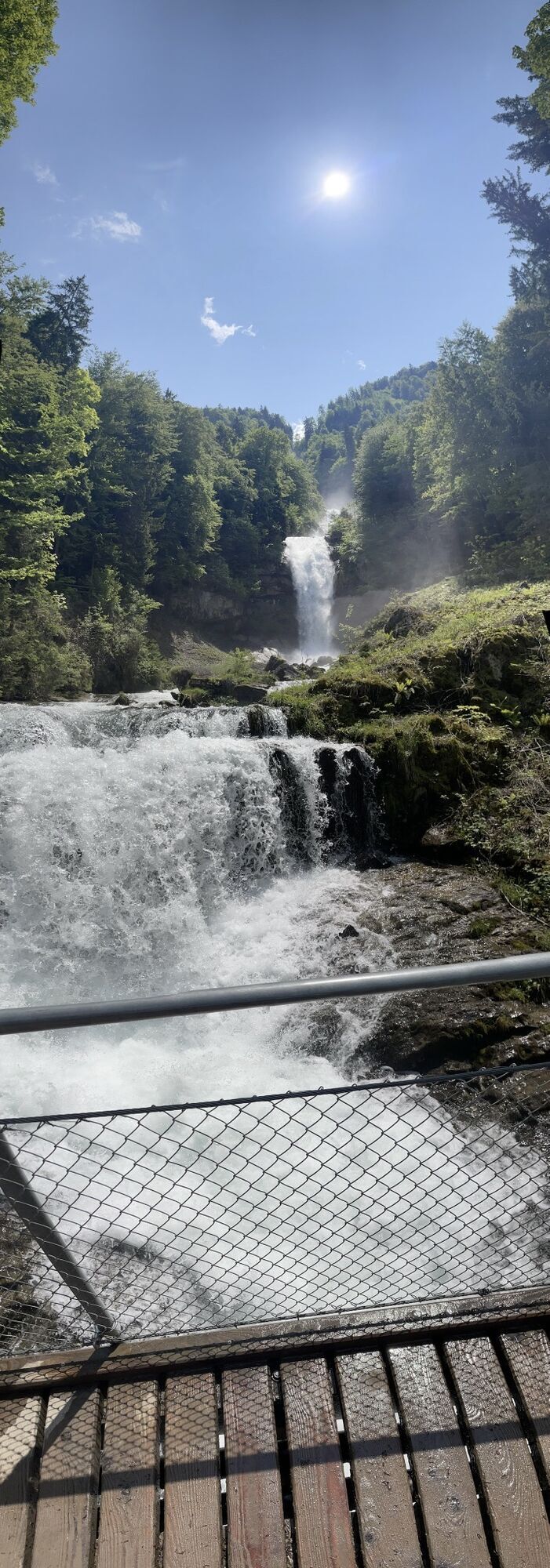
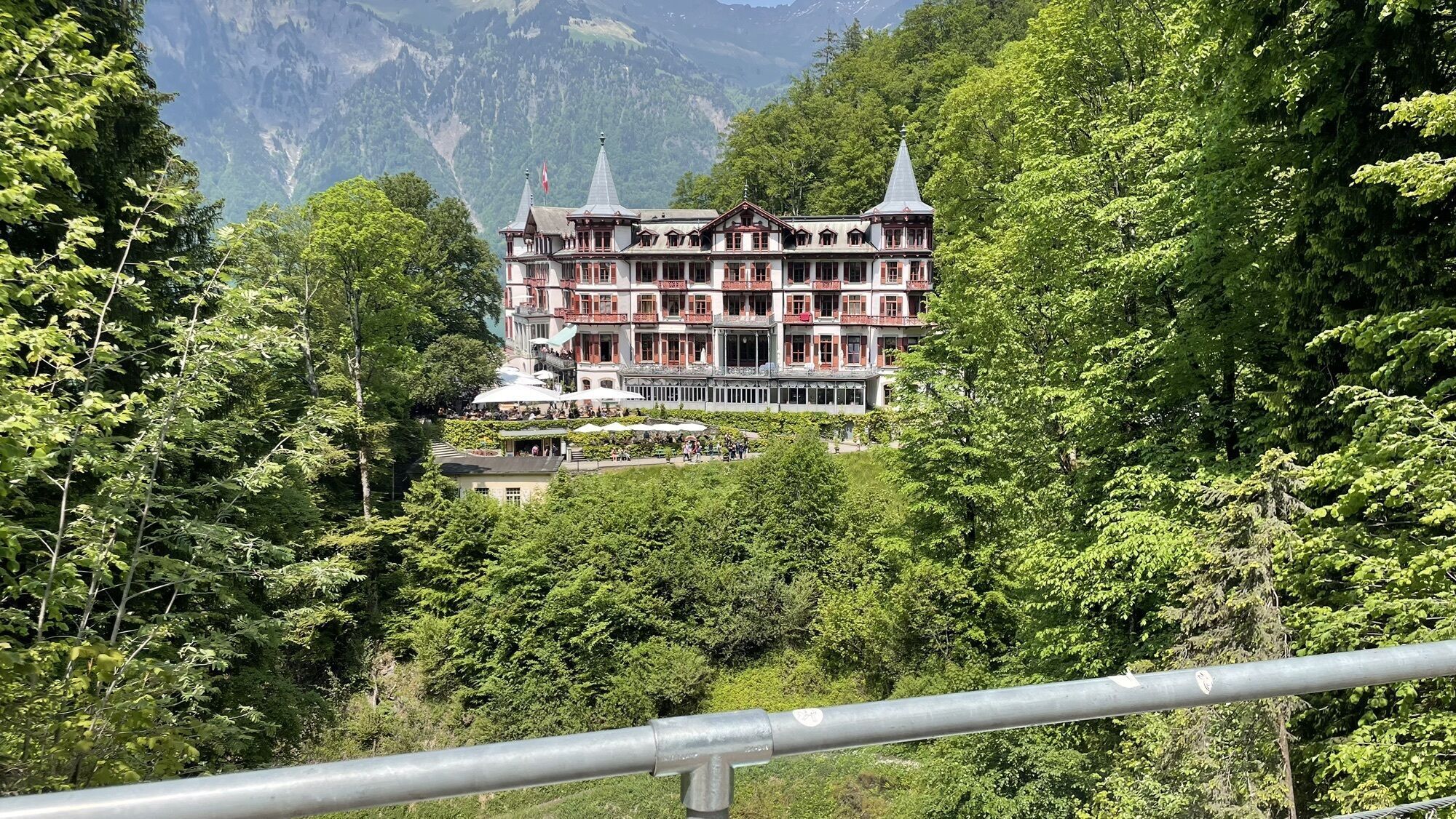
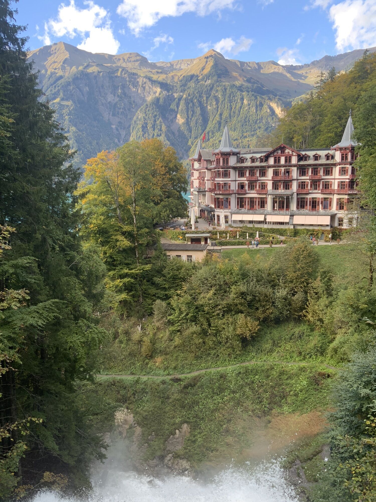
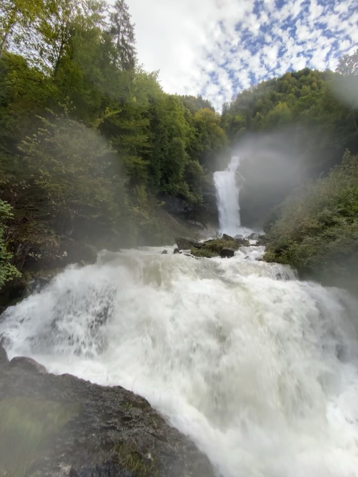
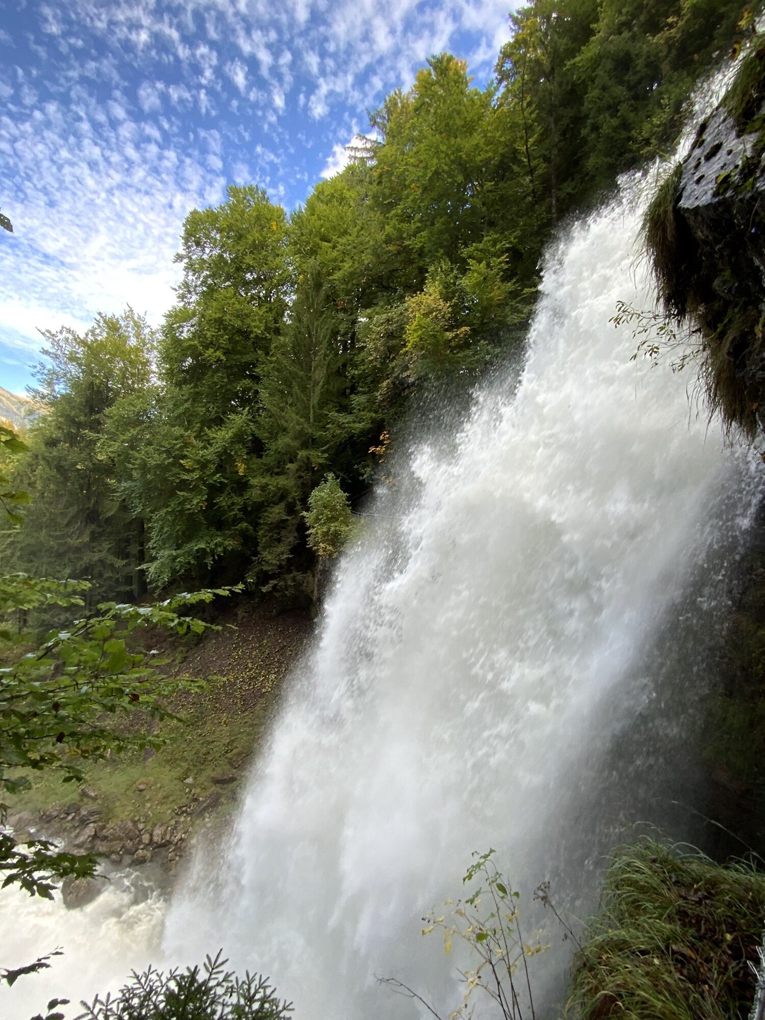
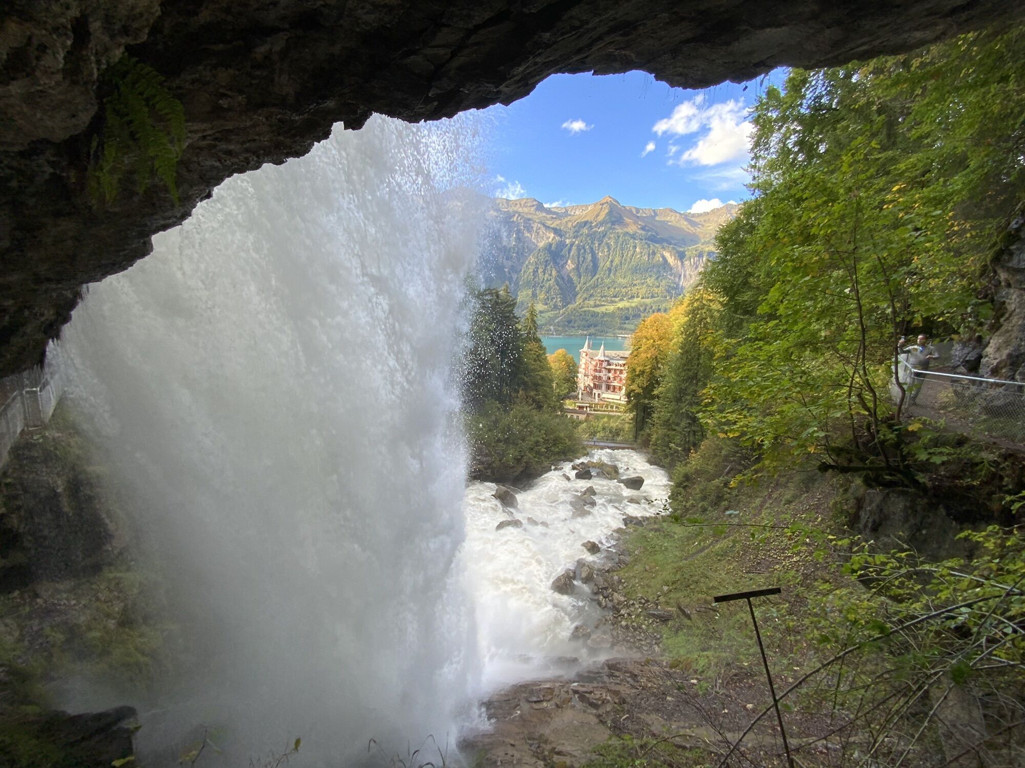
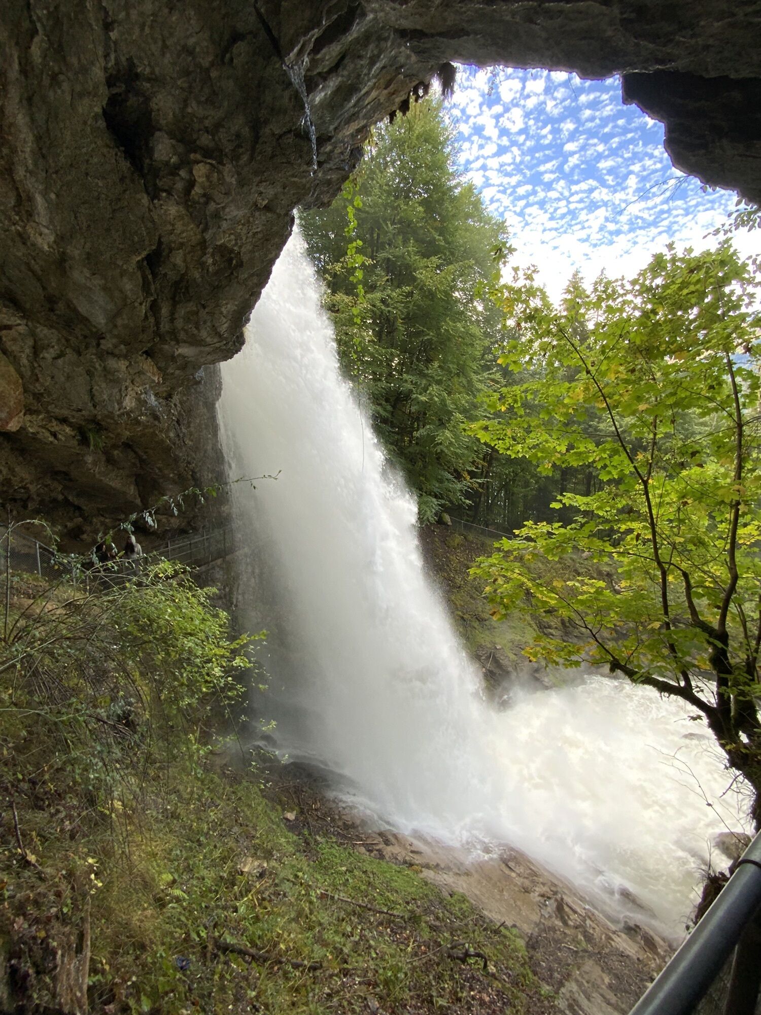
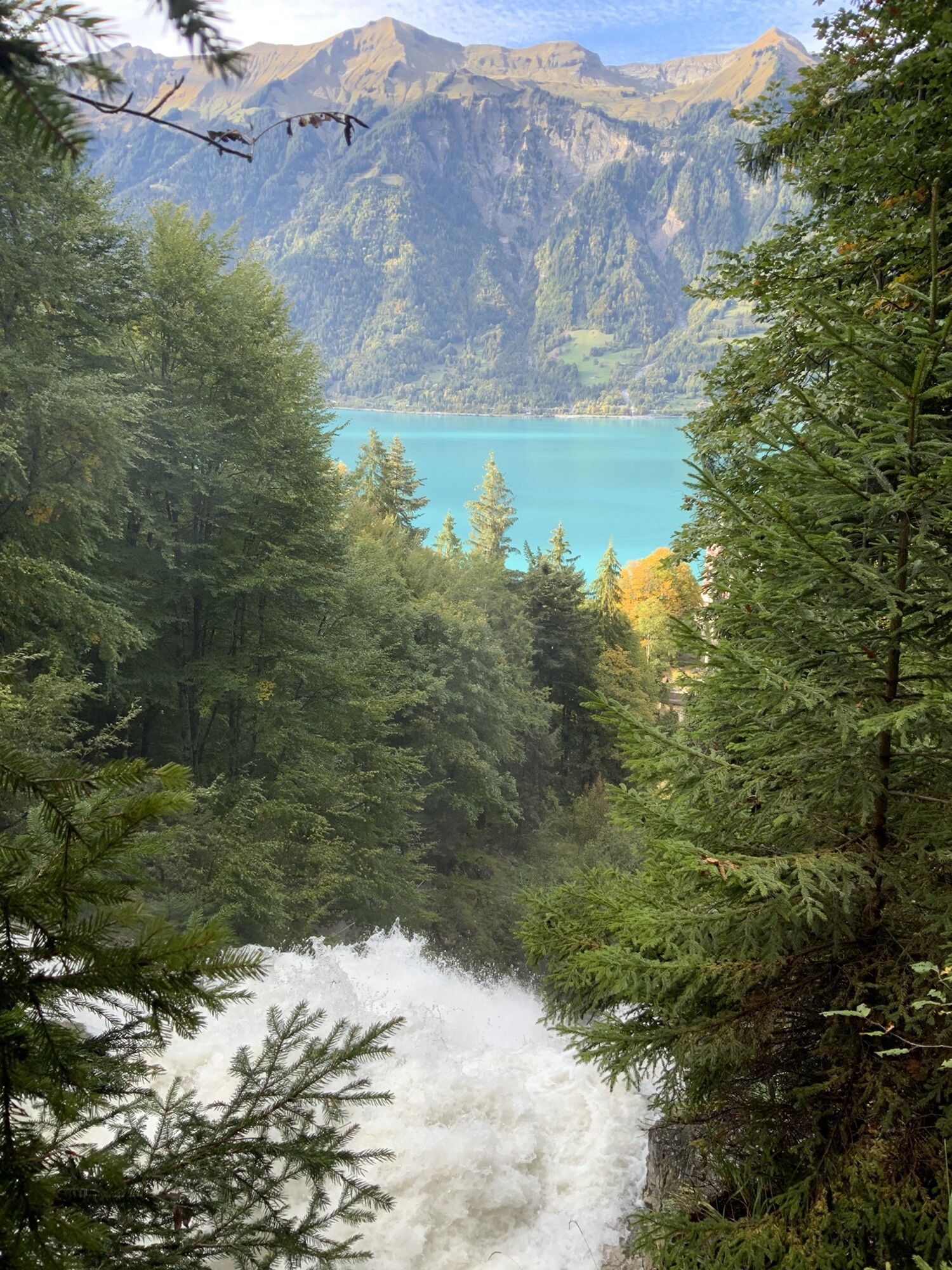
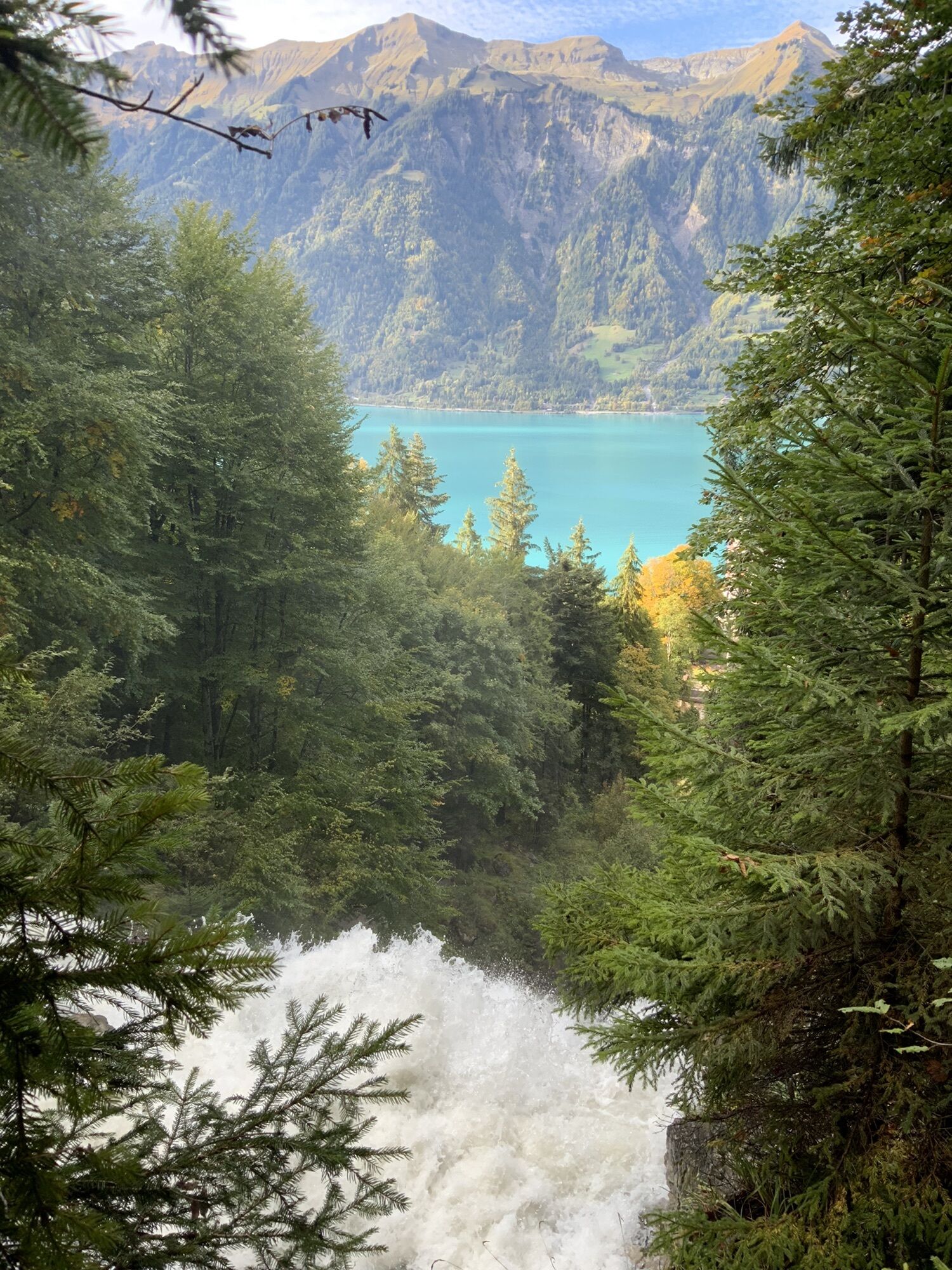
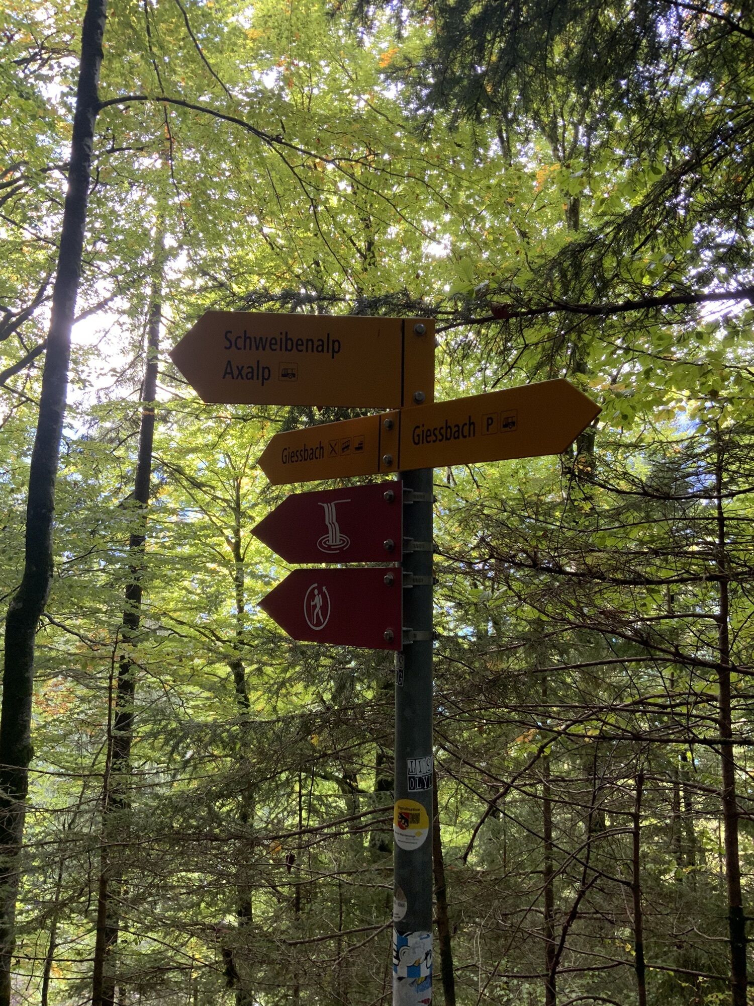
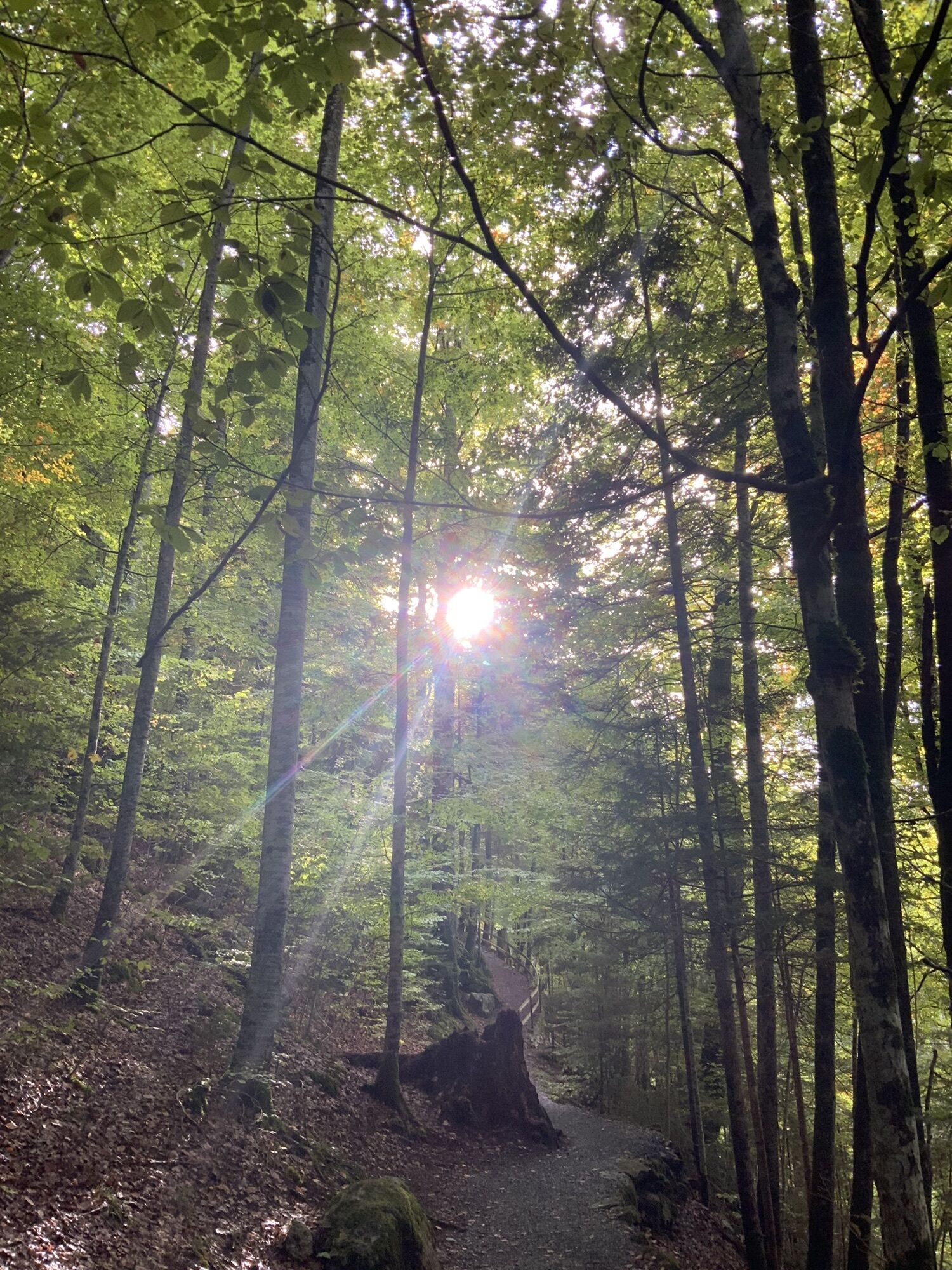
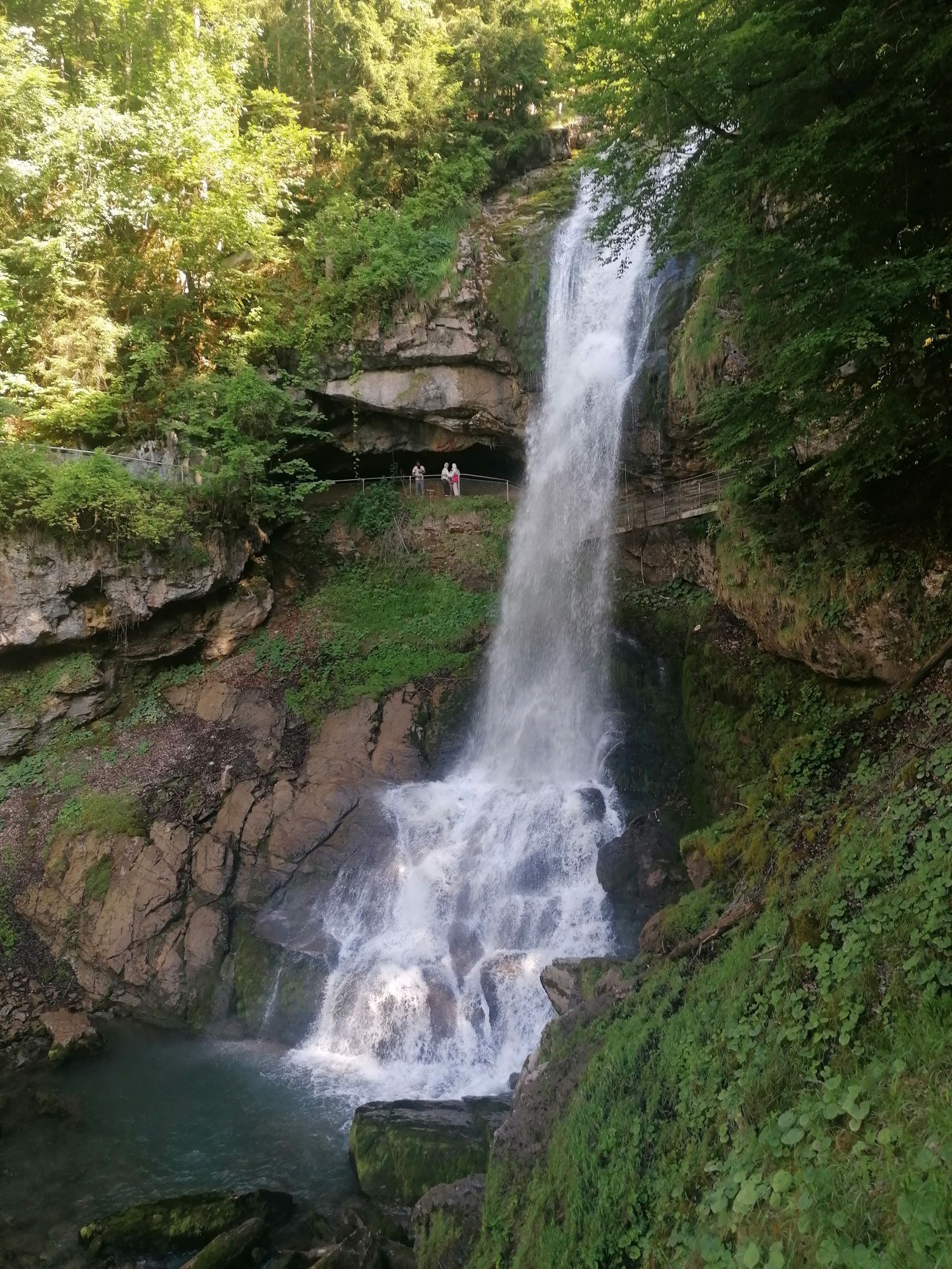
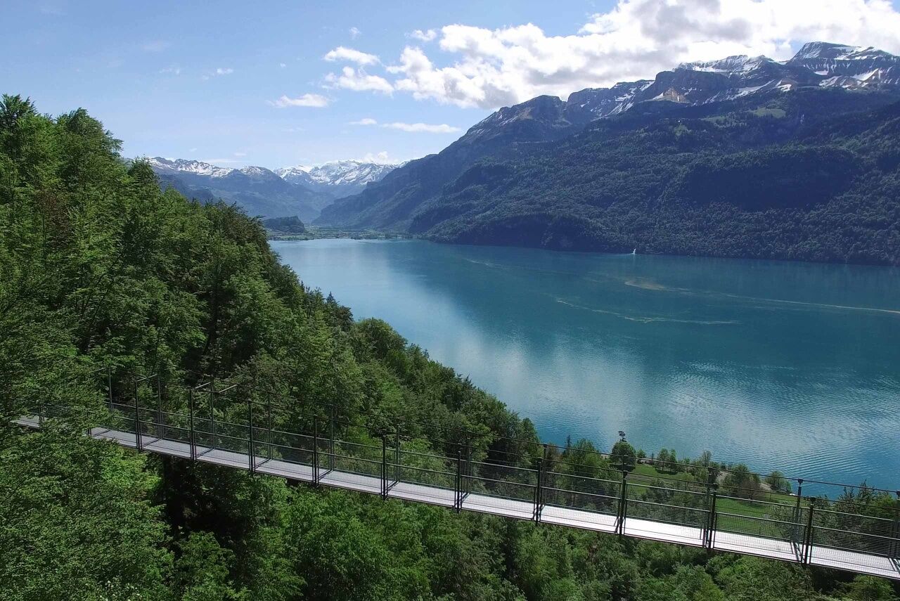
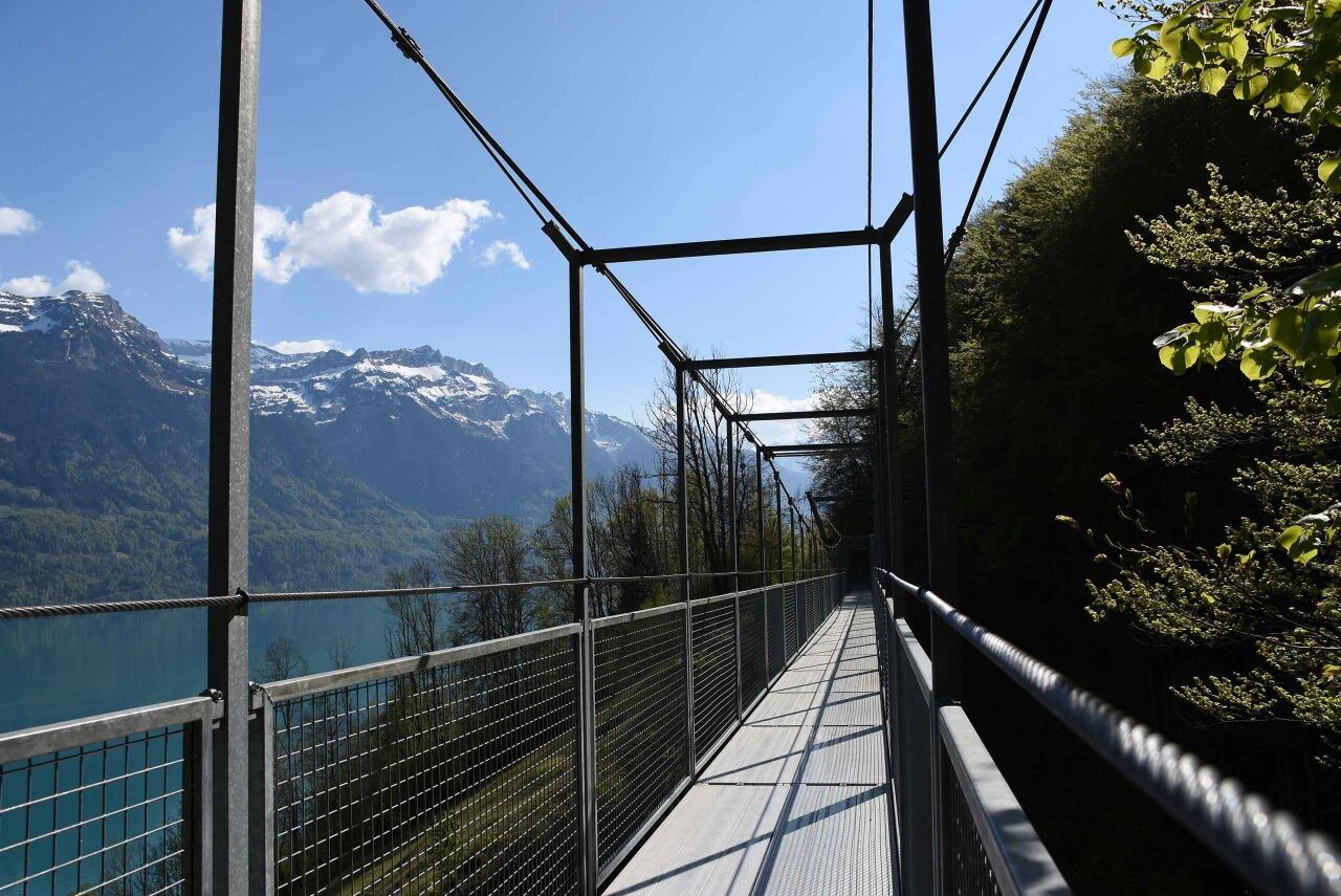
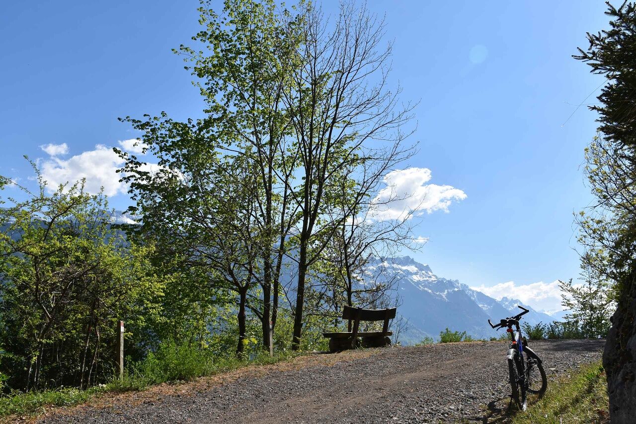
Starting at Interlaken Ost railway station, this tour leads alongside the River Aare to the tall iron railway bridge. After a winding ascent and riding through Ringgenberg village, continue along the surfaced road that winds its way over the quarry. From here, an unsurfaced road leads to the village of Niederried. The views of turquoise blue Lake Brienz are stunning. After passing Oberried, it's time to tackle the next ascent towards Ebligen. You will cross two suspension bridges before you reach Brienz. Follow the main road through Brienz until you reach the signposted turnoff for Iseltwald. This is where the most challenging section of the tour, namely the steep ascent in the direction of Axalp, starts. Make sure you don't miss the turnoff towards the Giessbach Falls. An unsurfaced road leads you through an idyllic landscape to Iseltwald. From Iseltwald, follow the quiet lakeside road to Bönigen. From here, a riverside gravel path leads you back to Interlaken Ost railway station.
Interlaken - Ringgenberg - Niederried - Oberried - Brienz - Giessbach - Iseltwald - Bönigen - Interlaken
The route is passable in the opposite direction as well:
Interlaken - Bönigen - Iseltwald - Giessbach - Brienz - Oberried - Niederried - Ringgenberg - Interlaken
Der Startpunkt ist direkt beim Bahnhof Interlaken Ost, welcher bequem mit Bahn und Bus erreichbar ist.
Along the Lake Brienz shoreline, you will come across scenic bathing lidos for a cool dip and charming restaurants where you can refresh yourself for the next ascent. You can either take the higher trail or the lakeside trail from Brienz to Interlaken. Travel time on the lakeside trail is shorter.
Parcours populaires à proximité
-
4,3
Schnitzlerweg Axalp - extended
moyenRandonnée 11,2 km -
4,9
Augstmatthorn
facileRandonnée 10,9 km -
3,2
Höhenwanderung Brienzer Rothorn
moyenRandonnée 9,16 km -
5,0
Jägerstübli - Lombachalp - Augstmatthorn - Suggiturm
moyenRandonnée 6,55 km -
3,7
Sieben Hengste
difficileRandonnée 13,7 km -
3,8
Öpfelchüechliweg
facileRandonnée 4,70 km -
4,0
Niederhorn-Burgfeldstand-Gemmenalphorn-Justistal-Beatenberg
moyenRandonnée 18,1 km -
5,0
Rundweg Interlaken-Harder Kulm
facileRandonnée 10,9 km -
5,0
Schynige Platte - Faulhorn - First
difficileRandonnée 16,8 km -
4,4
Gletscherschlucht - Pfingstegg - Rundweg
moyenRandonnée 5,84 km
Randonnée et suivi


Ne manquez pas les offres et l'inspiration pour vos prochaines vacances
Votre adresse électronique a été ajouté à la liste de diffusion.