







Hegau Panorama Path - Multi-stage hike through the Hegau

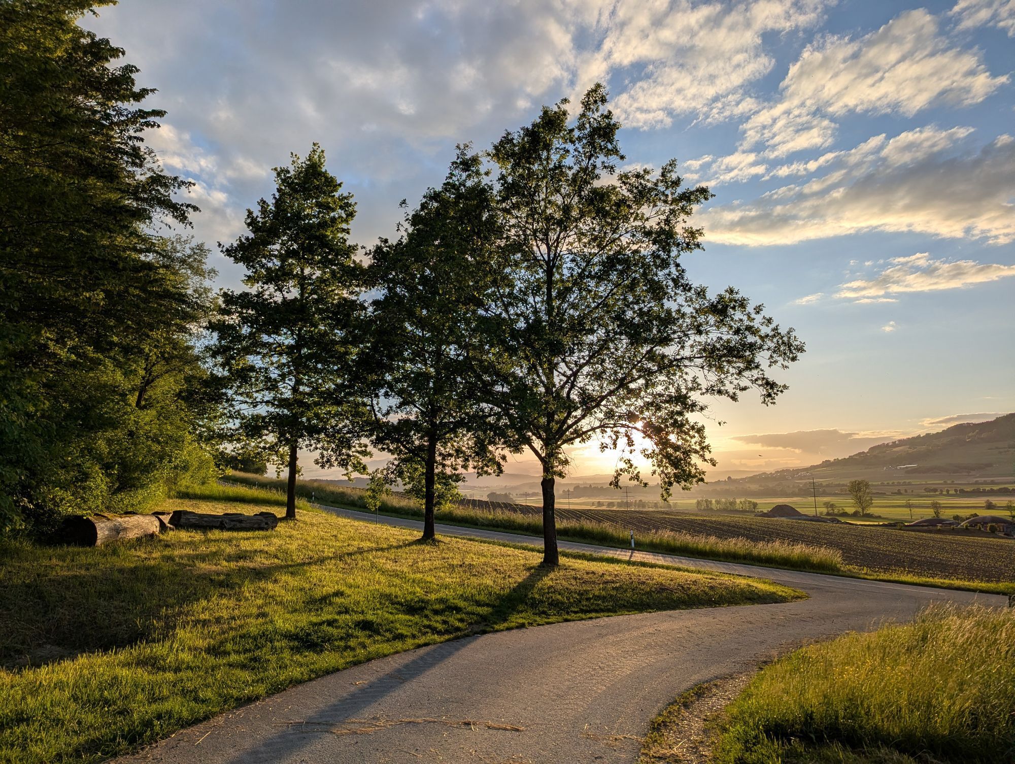
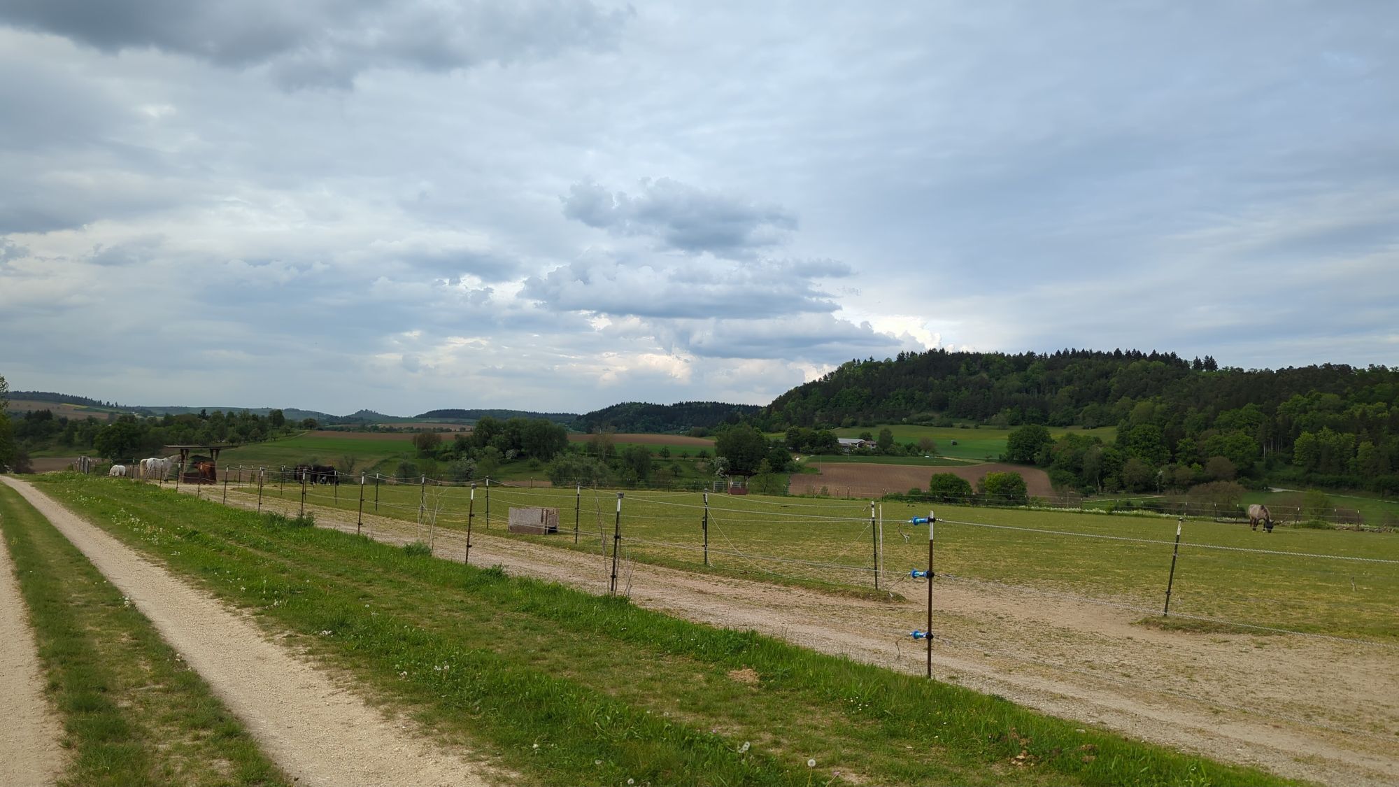
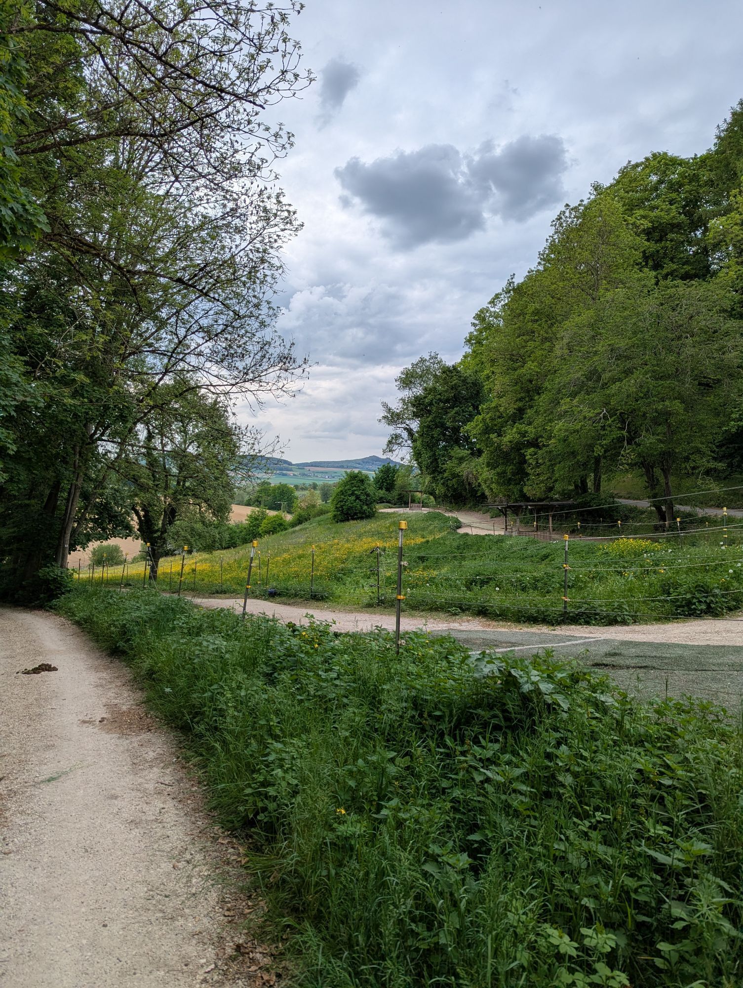
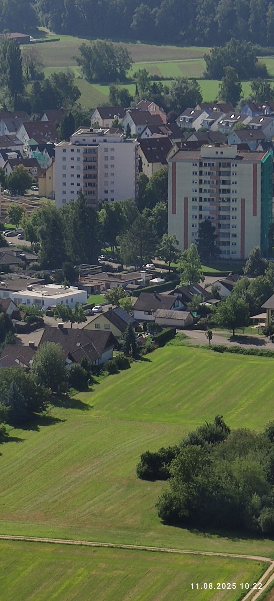

Hiking across the Hegau from one side to the other, this special offer gives ambitious as well as less experienced hikers the opportunity to discover the various corners of the Hegau. From the northernmost...
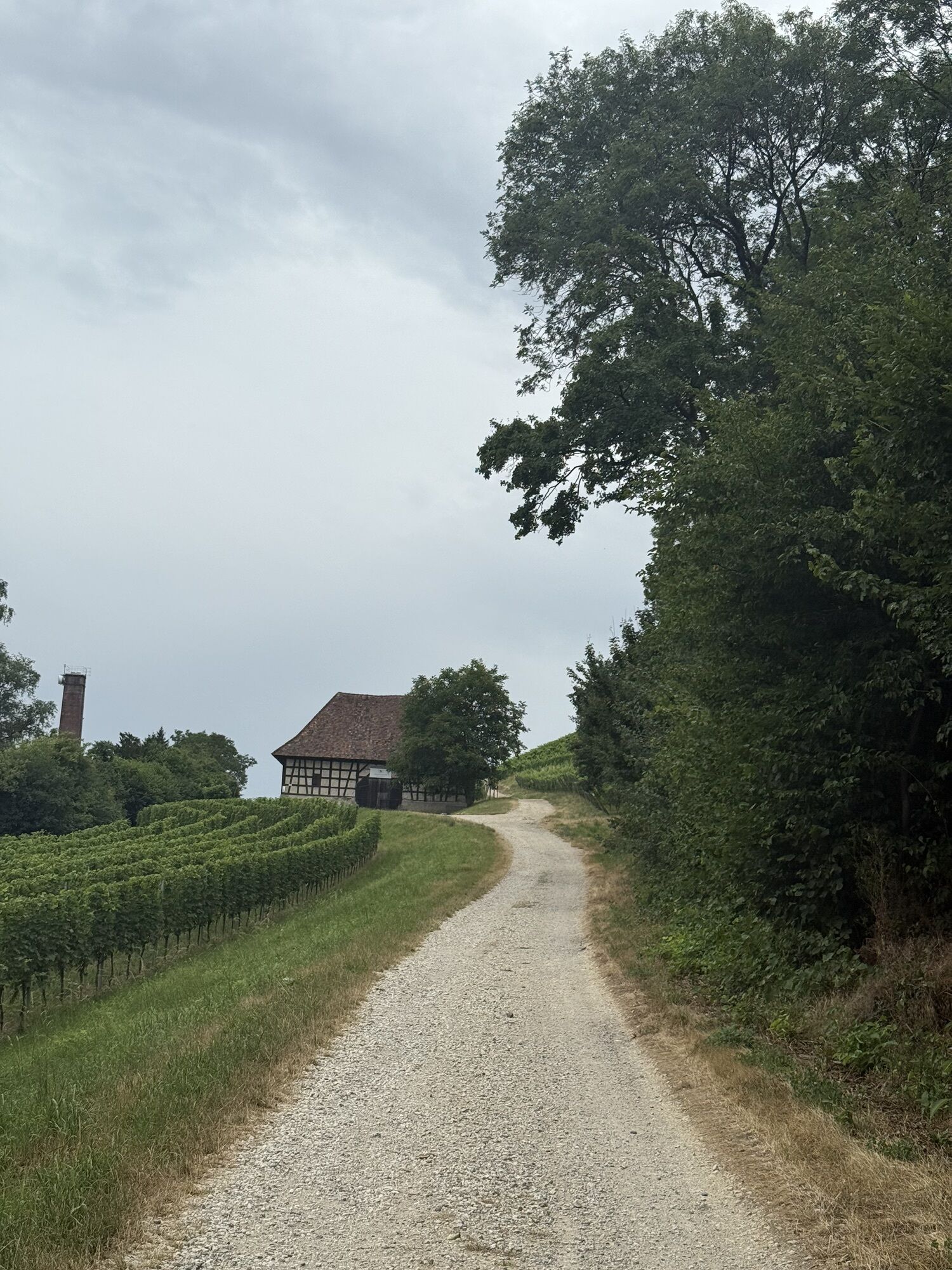
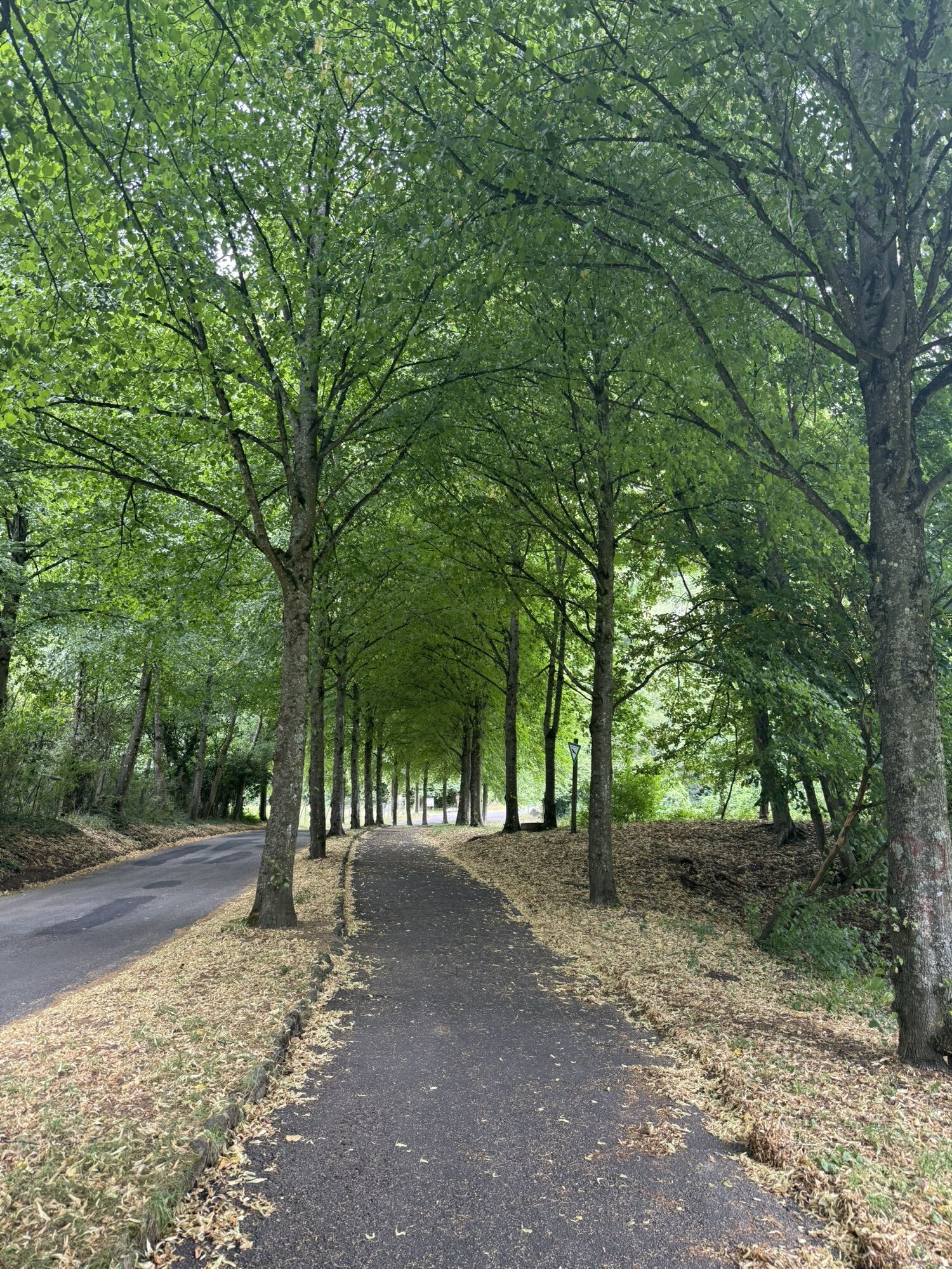
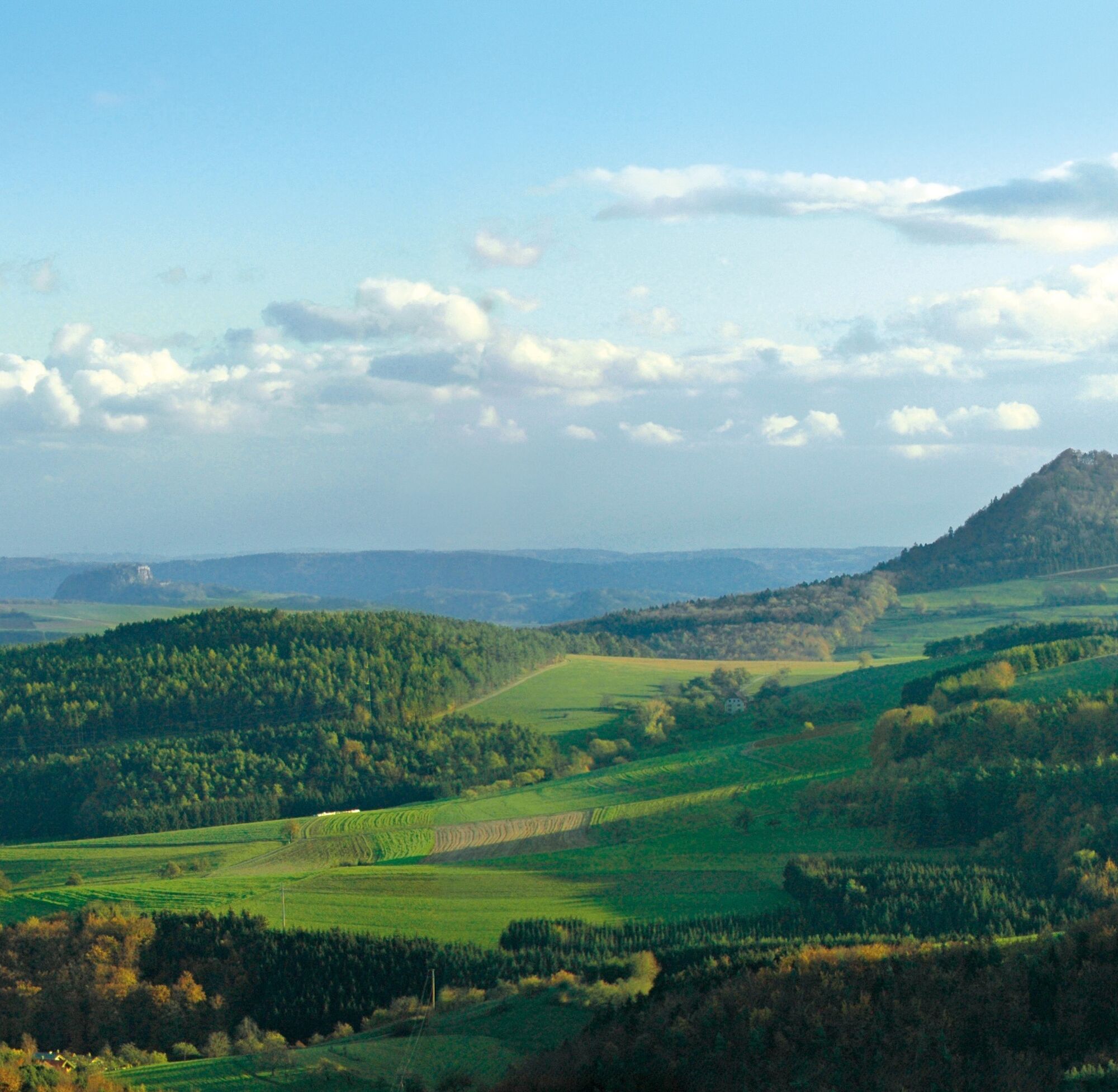
Hiking across the Hegau from one side to the other, this special offer gives ambitious as well as less experienced hikers the opportunity to discover the various corners of the Hegau. From the northernmost point, the lovingly restored small town of Engen, the route leads through beautiful landscapes via Tengen, Hilzingen, and Gottmadingen to the southernmost point at Gailingen on the High Rhine. Along the way, you will repeatedly encounter castle ruins by the wayside. The further path leads via Rielasingen, Singen, and several Hegau hills to the Aach spring. From the distinctive Hegau hills, hikers are repeatedly treated to unexpected views over the impressive volcanic landscape to the nearby Lake Constance. Even the Alps appear just a stone's throw away. The approximately 180-kilometer long hiking route ends in Stockach. Orientation is provided by the signage system of the Black Forest Association. At the individual stage towns, hosts can be found welcoming hikers for an overnight stay.

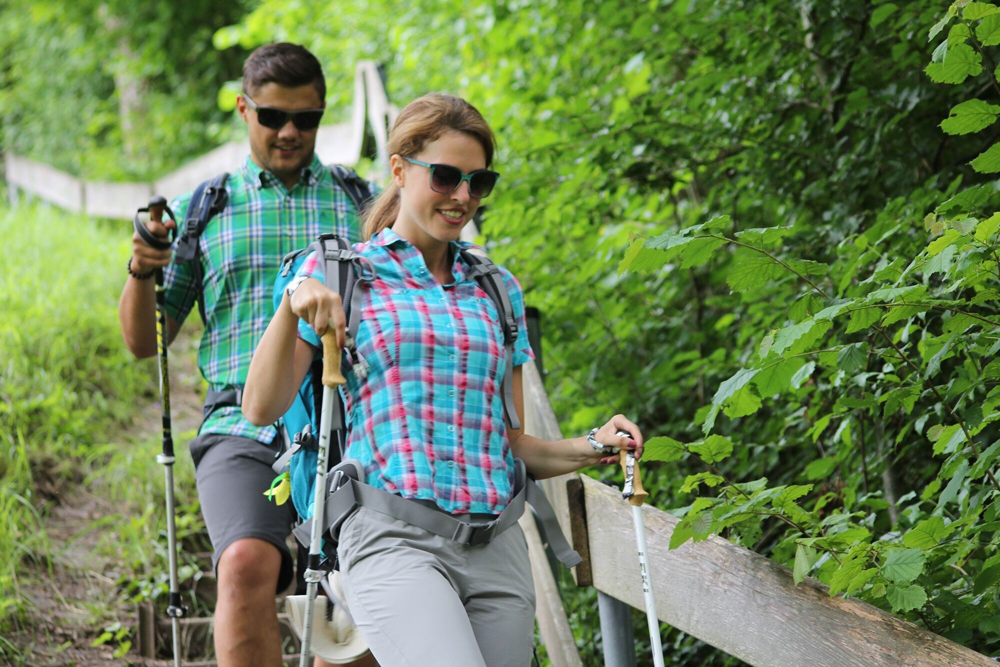
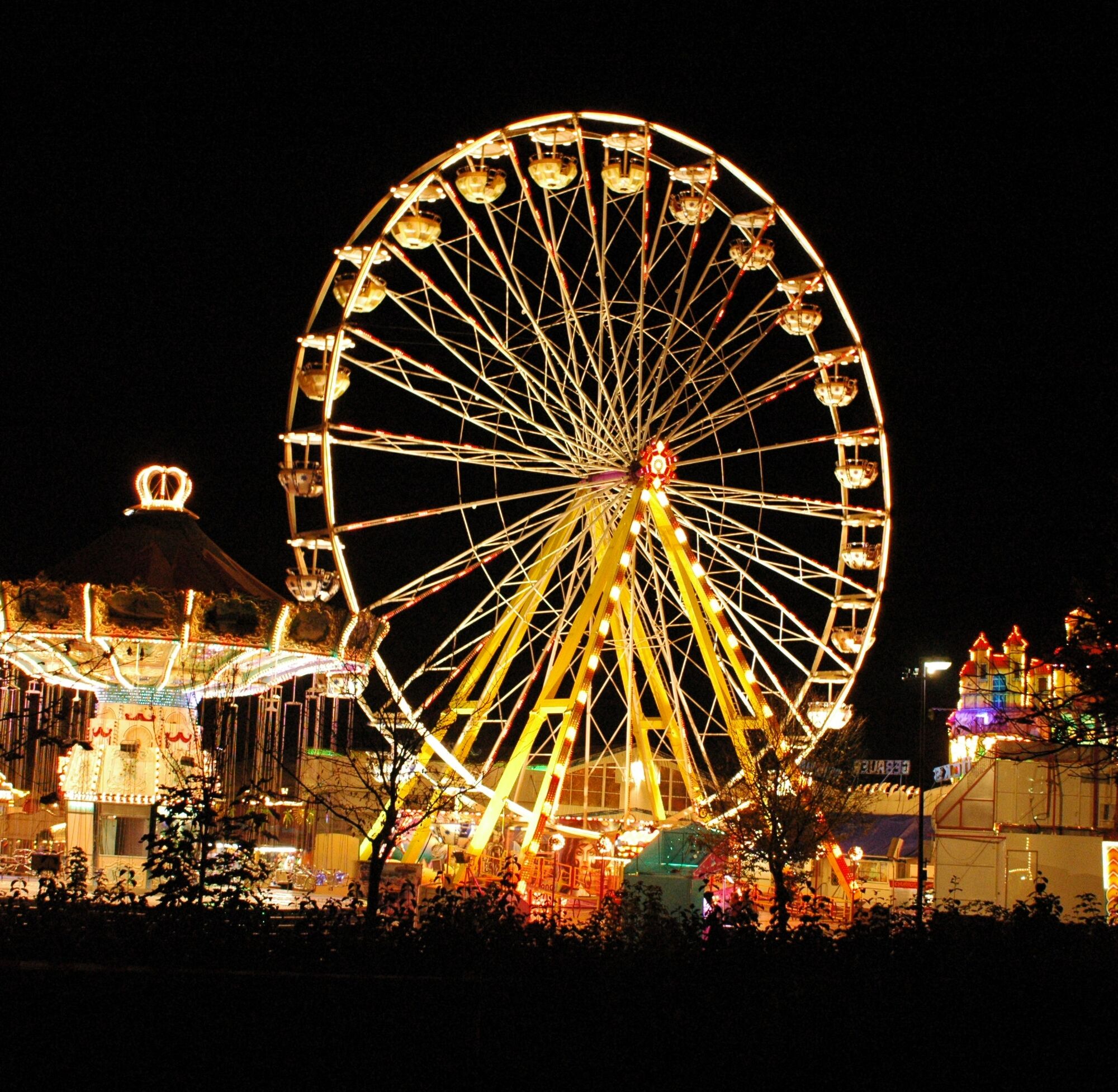
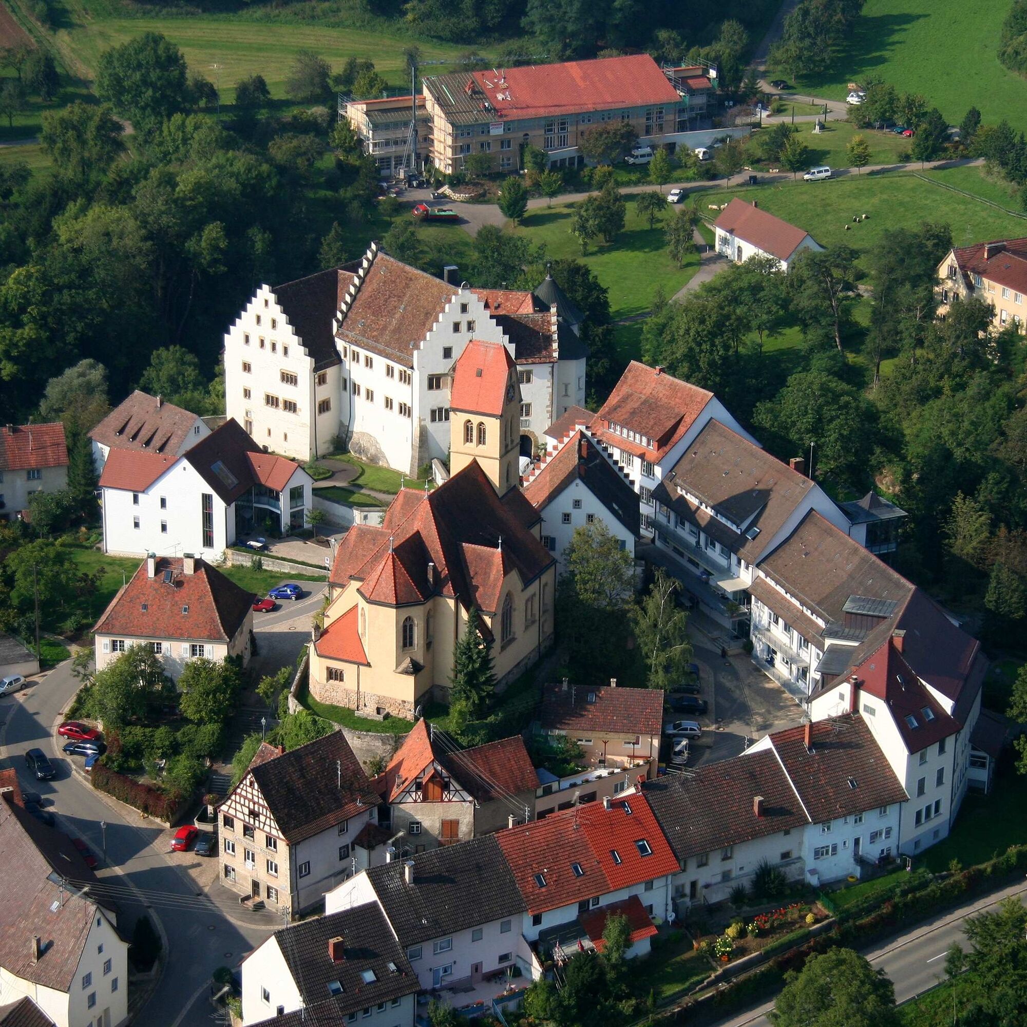
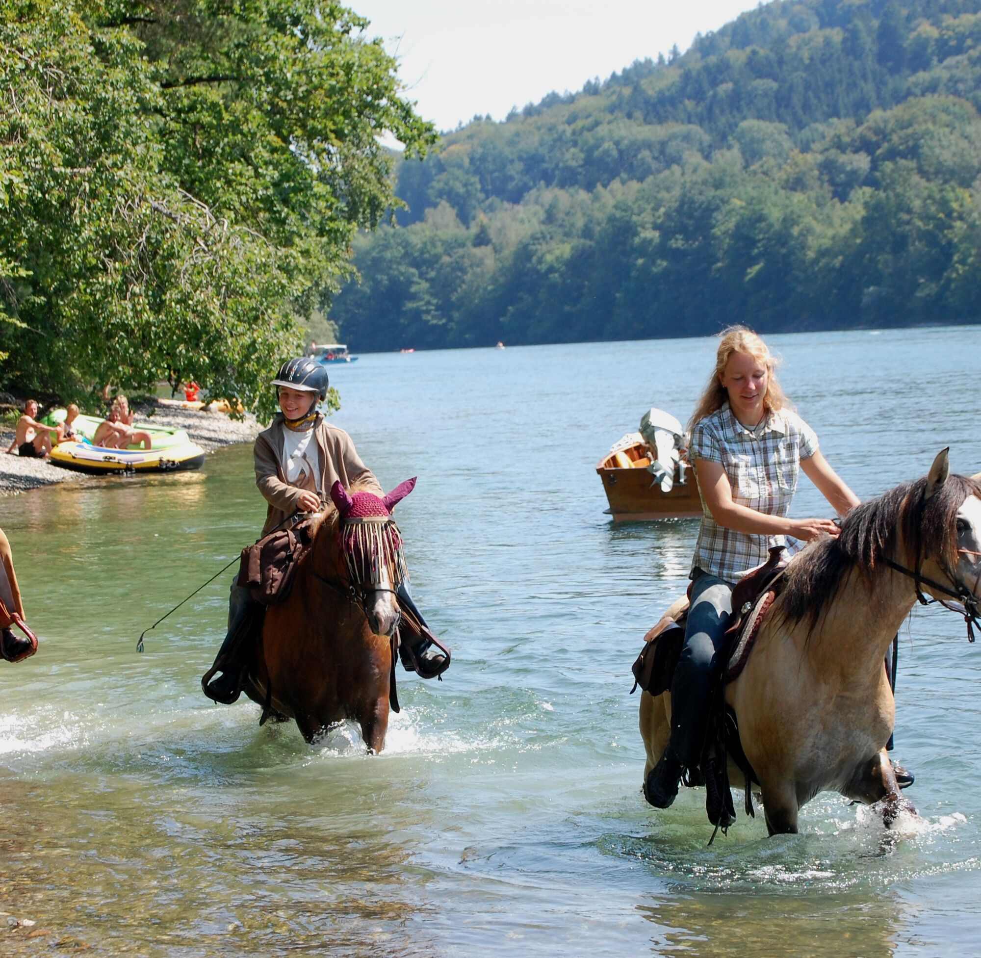
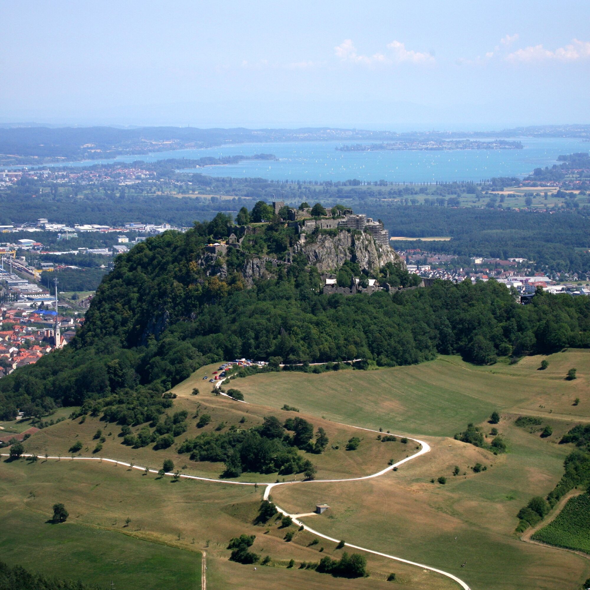
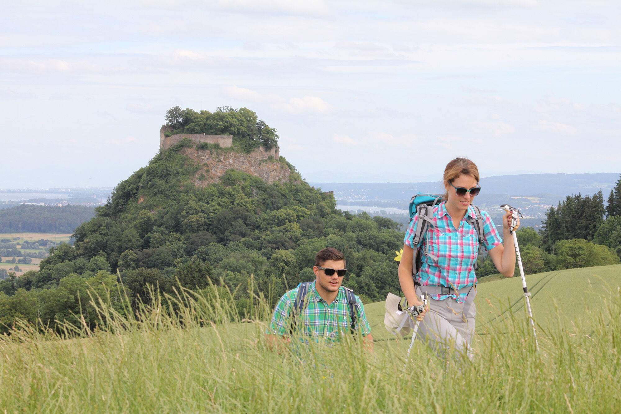
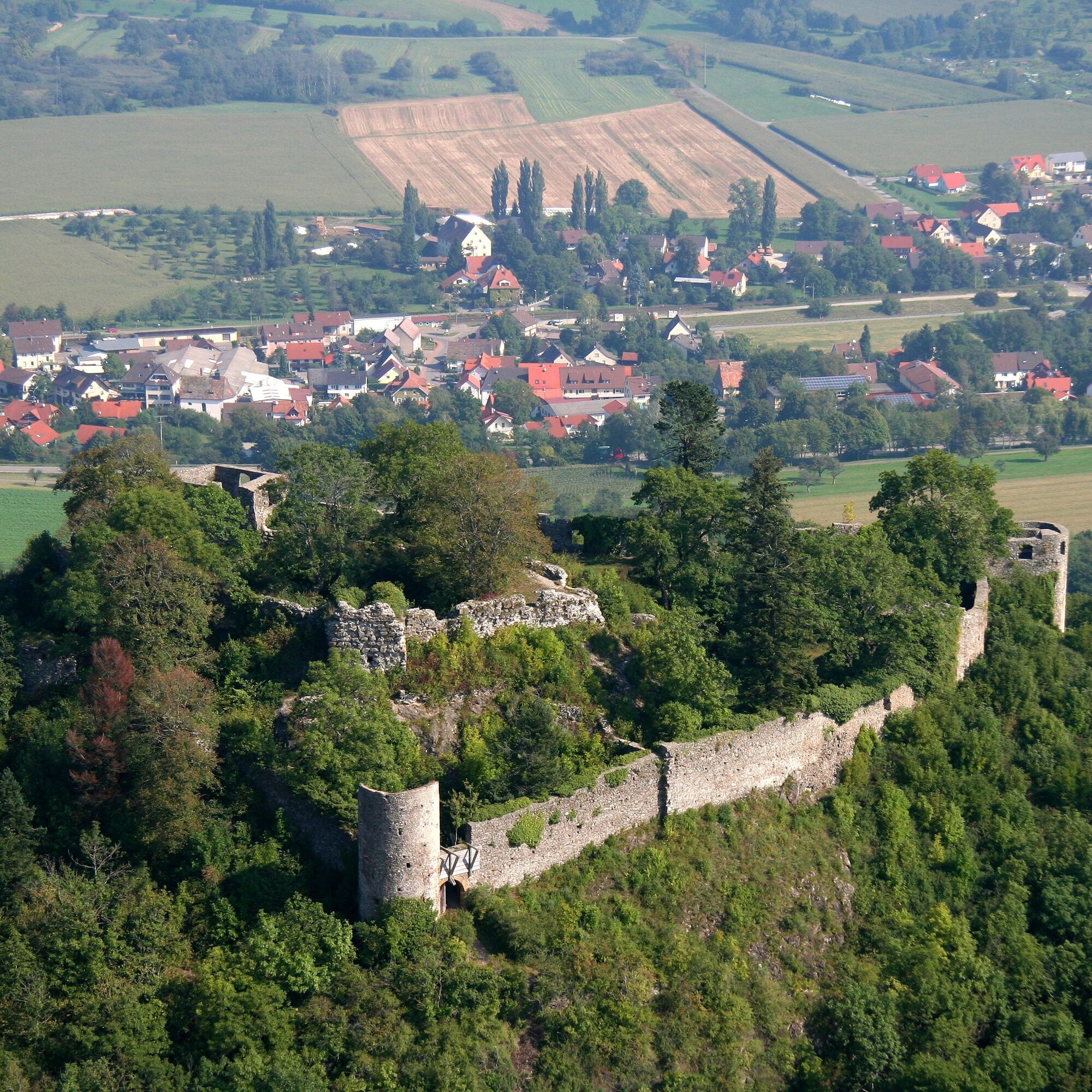
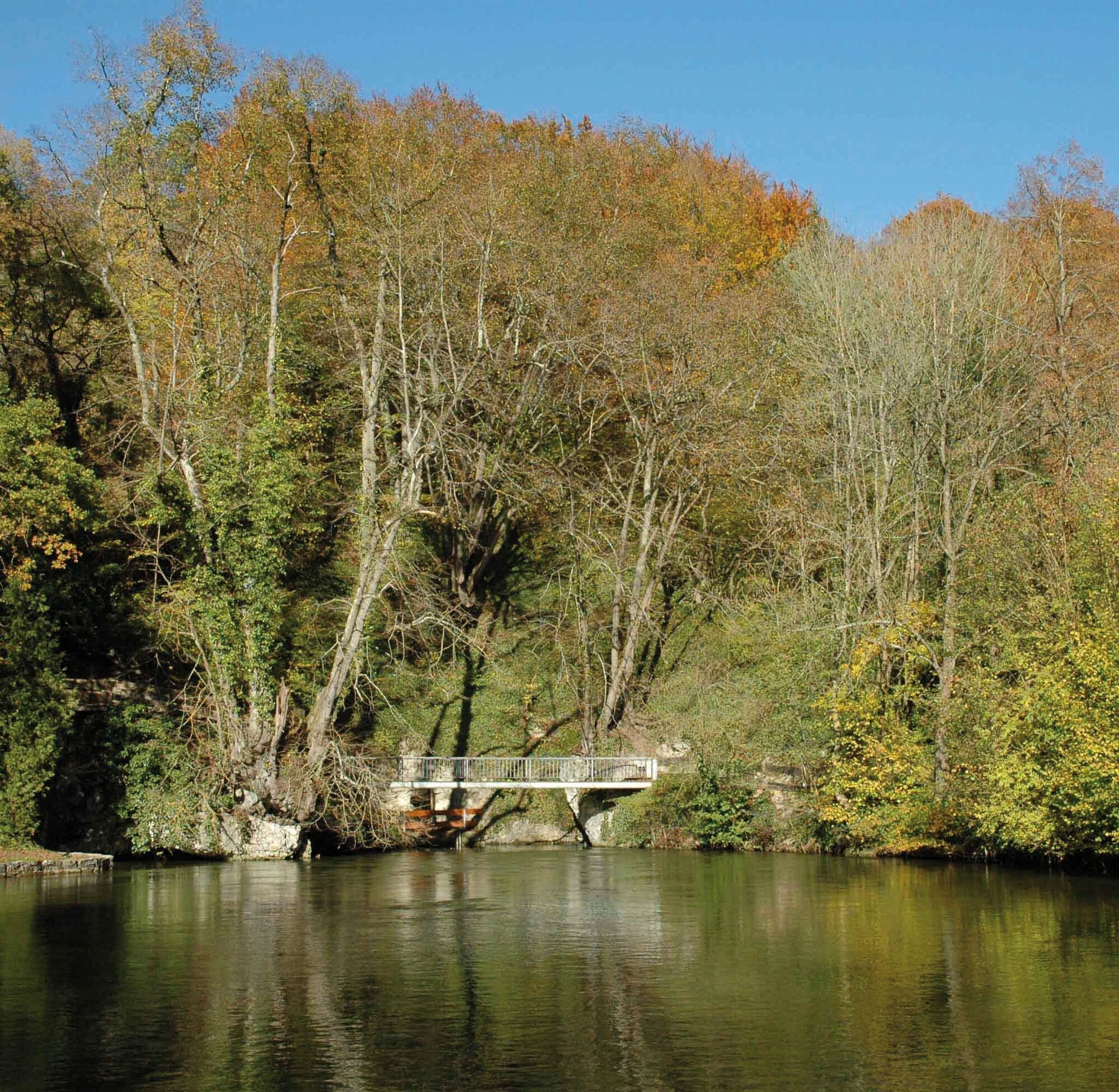

Hiking across the Hegau from one side to the other, this special offer gives ambitious as well as less experienced hikers the opportunity to discover the various corners of the Hegau.
1.
From the northernmost point, the lovingly restored small town of Engen, it goes to Ballenberg west of Engen. Through the little French forest, it continues upwards towards Napoleon's Corner. On the Old Postal Road, the hike continues with a magnificent view over the Hegau and the Alps. At our feet lies the idyllic village of Watterdingen, a district of the town of Tengen. We cross the connecting road to Leipferdingen, shortly enter the forest, and reach through the beautiful Hegau landscape our stage destination Tengen.
2.
"Engen, Tengen, Blumenfeld are the most beautiful towns in the world." This saying contains a great deal of truth. We leave Tengen heading south towards Blumenfeld. After a longer downhill section, the small town of Blumenfeld can already be seen from afar. After crossing the federal highway, we enter the beautifully restored old town of Blumenfeld. Through the town gate, the hike continues. Down to the right in the small gorge stands the Hotel and Restaurant Bibermühle with the impressive old mill wheel. The menu there is equally recommendable, inviting you to rest. The path continues after crossing the federal highway into Römerstraße and a short section along Sonnenstraße towards the forest. It goes through the shady forest upwards to Weil. Once again, the idyllic Hegau landscape shows itself at our feet, and through blooming fields and meadows, the hike goes towards Binningen. After crossing the country road, it continues over Sägestraße into the village and then turns right into Engelweg. The path leads further uphill to Hohenstoffeln.
Passing Stoffler Hof, you reach the quarry where basalt was mined until the 1940s. The path continues around the double summit and, after strenuous climbs, then turns left past Sennhof and downhill to the next stage destination Hilzingen. There, a visit to the Baroque church St. Peter and Paul is definitely part of the must-see program.
3.
The tour continues along the connecting road to Dietlishof and uphill under the highway to Heilsberg. From there, it continues towards Katzental and then right along the Riederbach towards the town center of Gottmadingen. Along the Riederbach, you receive various information about fauna and flora. Upon arrival in Gottmadingen, you already see the next ridge ahead, the Rauhenberg above Gailingen. Via Steiner Way, the hike continues past the cemetery towards Murbach. After crossing the Biber, it goes right towards Randegg, past the sports field, further uphill via Bergstraße. You leave Randegg to the left through fields and meadows towards Rauhenberg. After a longer climb, you reach the highest point of Rauhenberg. A detour to the Ruin Bürgli Castle is recommended. Unfortunately, nothing remains of the ruins. However, from the observation tower there, you have a magnificent view into Switzerland. In suitable weather, a unique Alpine panorama is visible there. The view sweeps from the Austrian over the Swiss Alps to the French Alps.
4.
Depending on whether you stay overnight in Gailingen or want to continue hiking, the path leads you down into the town center or eastwards over the Rauhenberg ridge and then down to Ramsen in Switzerland. However, you won’t stay long in Switzerland. You leave Ramsen over the railway line towards Wiesholz, pass through the small hamlet, and just behind Wiesholz, you cross the border back into Germany. Via Arlen, the path leads to the town center of Rielasingen-Worblingen. There, you can make a short detour to Rosenegg and explore the beautifully designed nature trail. The hike continues along the lifeline of the Hegau, the Aach, towards Singen. The small stream Aach accompanies you to Singen.
5.
Today's stage begins with a steep ascent to the largest volcanic cone in the Hegau. The goal is the Hohentwiel, crowned by the largest German fortress ruin. Passing Hotel Wiederhold, you meet the Wiederhold path at the foot of the mountain which you follow to the domain. Tickets for the Upper Fortress are available at the information center near the hotel halfway up. Upon reaching the highest point, everyone will confirm that the strenuous ascent was worth it. A landscape unlike any other lies at your feet. The various extinct volcanic cones lie lined up like a string of pearls before you. Lake Constance is within reach. What more could a hiker's heart want? After these impressive impressions, the path leads downhill again and then northwards towards Hohenkrähen.
Passing the impressive Hohenkrähen, the hike leads towards Mägdeberg. Along a ridge, the northern Hegau presents itself, and in the valley below lies the village of Mühlhausen-Ehingen. West of Mägdeberg, you can already see from afar the next volcanic cone with its two summits, Hohenstoffeln. Past Mägdeberg, we continue hiking to the Hegau cross and down to Weiterdingen. Turn left onto Welschingerstraße and right onto Kosbühlstraße, then right again into Binningerstraße. Follow the signs to Welschingen, the next stage destination.
6.
From Welschingen, the path continues towards Engen. You already see the next challenge ahead: the Hohenhewen. At the summit, you can also enjoy the panoramic view towards the nearby Black Forest. The strenuous ascent is followed by a longer descent to Anselfingen. The next station is Engen, where a tour through the lovingly restored old town is mandatory. Maybe you also join a guided tour with a night watchman and townswoman?
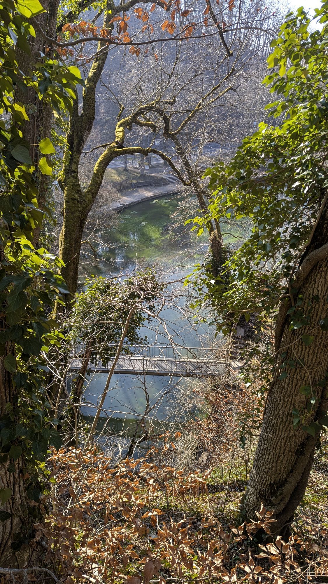
On the next stage, you leave the small town via Jahnstraße heading east. The next goal is Petersfels, a natural monument of special excellence beyond the highway. Since 2003, there has been the Ice Age Park "Petersfels", a nature trail with a collection of trees, shrubs, and grasses, representing the late Ice Age landscape from 15,000 years ago. Through the impressive valley past Schmiedsberg, it continues towards the small town of Aach and to the local Aach spring, Germany's largest karst spring, where today's stage ends. Water bubbles up from the ground there, which disappears into the Danube a few kilometers north and reemerges after about 20 hours at the Aach spring.
7.
On the next stage, we leave the small town of Aach via Ettenbergstraße towards Volkertshausen. A few kilometers south in Volkertshausen, we meet again the small stream that crosses the tranquil landscape as the Hegau or Radolfzell Aach and flows into Lake Constance after 32 km. The hike continues over Langensteinerstraße into Volkertshausen and then over Hegaustraße back out towards Beuren an der Aach. You pass under the highway and head towards Steißlingen. On the further course of the hike, you cross the Weitenried nature reserve and meet the village of Steißlingen with its idyllic lake, which invites you to a refreshing swim in summer.
8.
You leave Steißlingen via Lange Straße heading towards Kirnberg, the ridge north of the village. At the local hiking parking lot, we turn left and cross the cool forest towards Langenstein Castle. There is the worth-seeing Fasnacht museum, a visit definitely worth it. The route continues through the large castle gate and then left towards Eigeltingen to today's stage destination.
9.
The next stage leads us further into the northern corner of the Hegau. You leave Eigeltingen via Homberger Straße and then head towards Nenzingen. First along the forest and open fields, and later through the forest to Orsingen-Nenzingen. Tip: There are affordable accommodation options at the local camping and holiday park. The hike continues past the foot of Nellenburger Mountain. Above Stockach, you can visit another castle ruin, Nellenburg. There too, hardly any ruin parts are left, but the view to the next destination, the city of Stockach, is worth climbing the short ascent. The also lovingly restored old town should be experienced through its many street cafés, letting the day end there.
10.
On the next stage, you leave Stockach past the Nellenburg Gymnasium via Am Osterholz street towards Airach. Soon you enter the forest and reach the small village of Airach. The next goal is the Laubegg forester's house and the small hamlet Laubegg. There you take on the next intermediate goal and head towards Walpertsweiler. You cross forests and fields, leave Walpertsweiler behind, and turn towards Mahlspüren in the valley.
11.
The next stage leads you to the heights of northern Hegau. A completely different landscape than you have experienced so far. While the landscape was previously shaped by volcanic mountains, you now find a plateau that offers special charms all year round. Past Neumühle, you hike uphill in the forest to Hohenfels Castle, a castle from the second half of the 16th century. The castle now houses the lower grades of the well-known Salem boarding school. Further uphill, you turn left after a short hike towards Kalkofen. There, a refreshment in the idyllic natural swimming pool is possible. You leave the village towards Liggersdorf and head towards the Schwackenreuter Lakes, a unique nature reserve. Countless bird species use this area as a stopover on their journey south. But hikers can also refresh themselves in the wet surroundings. One of the former gravel-excavated lakes is open for swimming.
12.
The hike continues over Schwackenreute to Mühlingen. After crossing the village, it goes further over the plateau near Mühlingen with its rural character. Small settlement farms are encountered on the way down to Hoppetenzell.
13.
On the last stage of the 180 km long Hegau hike, you leave Hoppetenzell via Johanniterstraße and then turn right into Am Mühlbach street. Past the gravel pit, the hike continues into the forest and then towards Burgtal. Another highlight on this stage is the Heath Caves near Zizenhausen, which you should definitely visit. Now only a short distance remains to Stockach, where the impressive Hegau exploration ends.
Oui
Access by car to Engen station (parking). Return from Stockach or other stage locations to Engen is possible with the Hegau-Bodensee Transport Association.
https://www.vhb-info.de/
By train to Engen station. Between stages, public transport within the VHB (Hegau Bodensee Transport Association) network can also be used.
Departure from Stockach is also possible by train.
Parking at Engen station. Am Maxenbuck parking garage.
For overnight stays, you are welcome to contact the individual communities located along the route with their tourist information offices. Hiking through the Hegau is particularly recommended in spring and autumn, when you are almost alone on the well-marked hiking trails in the Hegau.
Webcams de la tournée

Parcours populaires à proximité
- 4,8
"Hegauer Kegelspiel" Alter Postweg
moyenRandonnée 9,26 km - 3,3
« Hegauer Kegelspiel » randonnée du Wannenberg
moyenRandonnée 9,35 km - 5,0
« Hegauer Kegelspiel » Stettener Panoramaweg
moyenRandonnée 7,62 km - 5,0
Vulkansee Höwenegg Rundweg
facileRandonnée 7,05 km - 2,8
"Hegauer Kegelspiel" Hewensteig
moyenRandonnée 6,23 km - 5,0
"Hegauer Kegelspiel" Hohentwieler
moyenRandonnée 7,21 km Aacher Geißbock
moyenRandonnée 13,4 km- 5,0
Circuit des cascades de Hegau
moyenRandonnée 9,28 km - 5,0
Sentier volcanique Hohentwiel
moyenRandonnée 4,63 km - 5,0
"Hegauer Kegelspiel" Hegauer Vulkan Tour
difficileRandonnée 29,2 km
Randonnée et suivi


Ne manquez pas les offres et l'inspiration pour vos prochaines vacances
Votre adresse électronique a été ajouté à la liste de diffusion.





