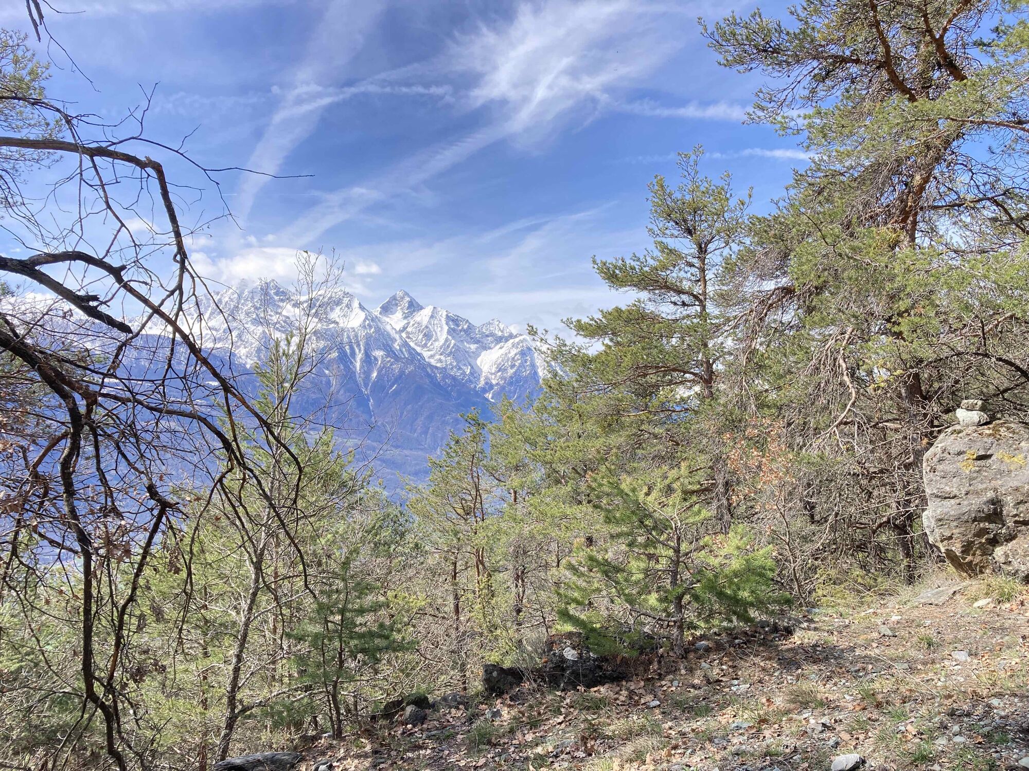
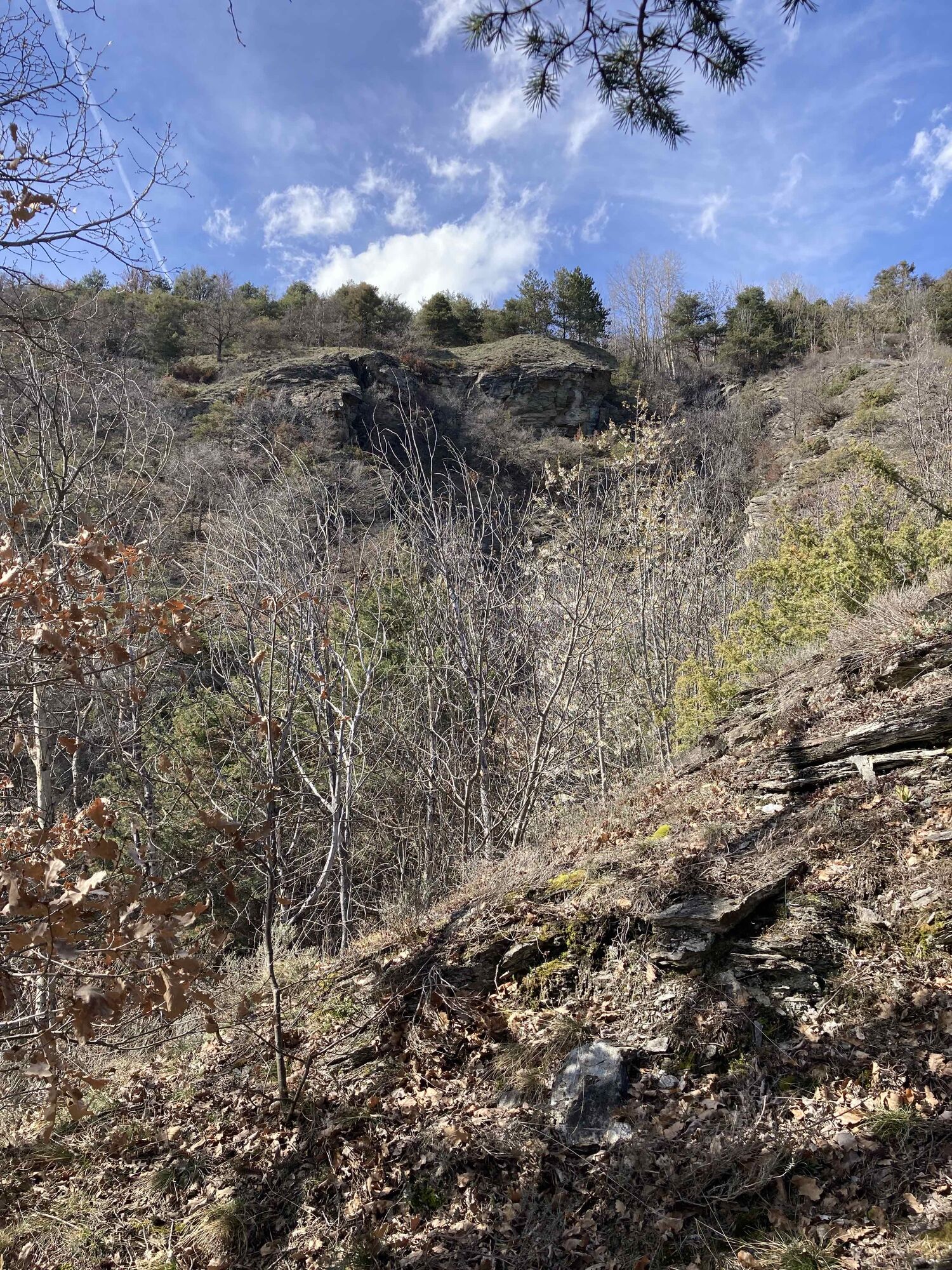
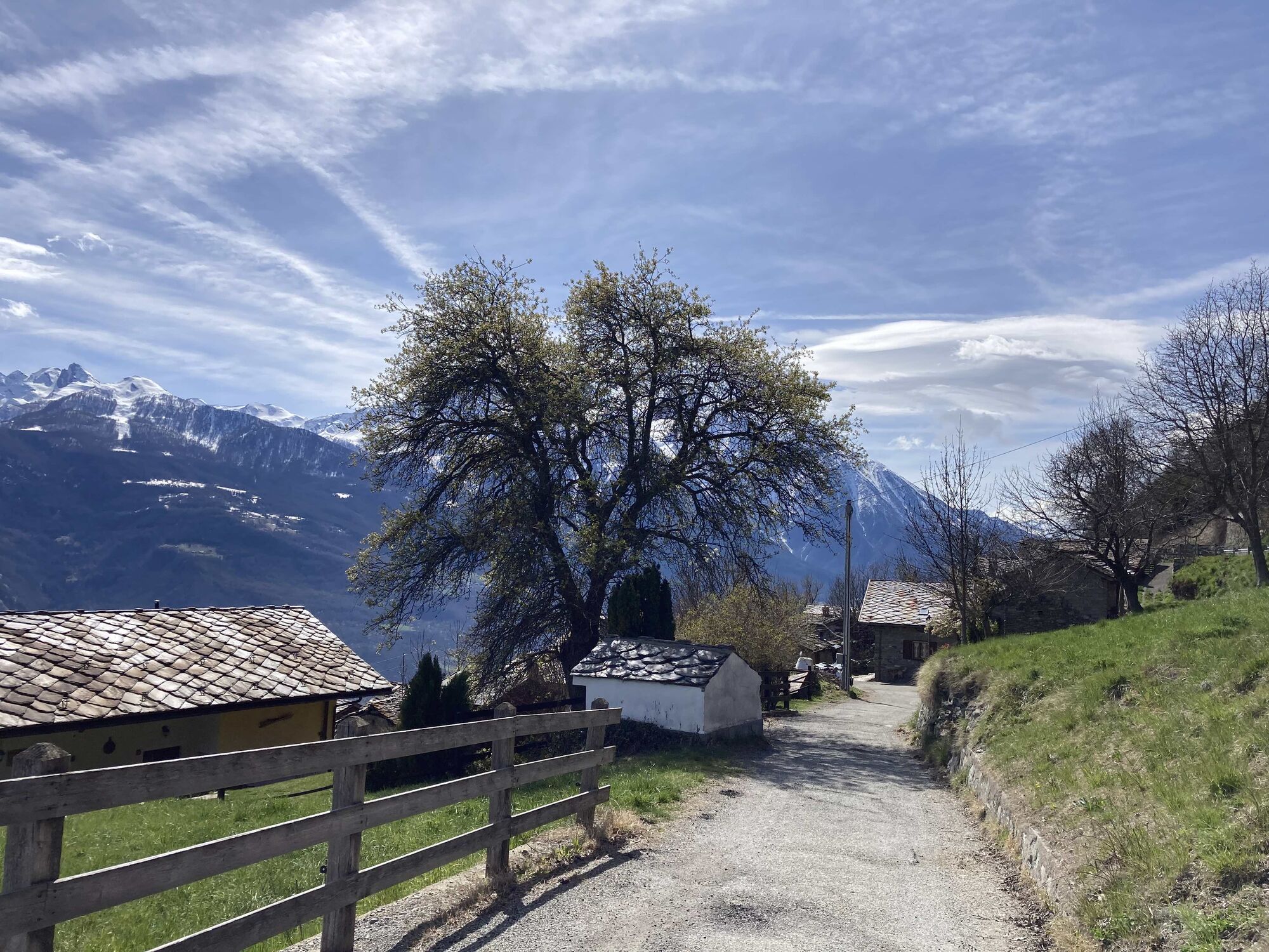
Lavanche - Charere - Lavanche
facile
Naviguer
Naviguer
Télécharge cette visite sur ton portable
Lavanche - Charere - Lavanche
facile
Randonnée
10,10
km
Scanner le code QR et commencer la navigation dans l'application bergfex

Randonnée & tracking


Lavanche - Charere - Lavanche
facile
Distance
10,10
km
Durée
02:32
h
Ascension
535
m
Altitude
924 -
1 346
m
Téléchargement de la piste
Lavanche - Charere - Lavanche
facile
Randonnée
10,10
km
Parcours
Lavenche Dessous
(1 045 m)
Lotissement
0,0 km
San Gottardo
(1 039 m)
Lieu de culte
0,0 km
Cappella Di Fraye
(912 m)
Lieu de culte
2,5 km
Fraye
(907 m)
Lotissement
2,5 km
San Giuseppe Artigiano
(1 218 m)
Lieu de culte
7,3 km
San Gottardo
(1 039 m)
Lieu de culte
10,1 km
Parcours
Lavanche - Charere - Lavanche
facile
Randonnée
10,10
km
Lavenche Dessous
(1 045 m)
Lotissement
0,0 km
San Gottardo
(1 039 m)
Lieu de culte
0,0 km
Vrignier Dessus
(916 m)
Lotissement
1,8 km
Cappella Di Fraye
(912 m)
Lieu de culte
2,5 km
Fraye
(907 m)
Lotissement
2,5 km
Dorinaz
(1 318 m)
Lotissement
4,5 km
Charrere
(1 341 m)
Lotissement
4,6 km
San Giuseppe Artigiano
(1 218 m)
Lieu de culte
7,3 km
Hers
(1 206 m)
Lotissement
7,3 km
San Gottardo
(1 039 m)
Lieu de culte
10,1 km
Lavenche Dessous
(1 045 m)
Lotissement
10,1 km

Informations sur l'itinéraire
Convient aux seniors
Oui
Points forts géologiques
Oui
Adapté aux familles
Oui
Équipement
Enough water as it is on the south slope.
Informations sur l'itinéraire
Itinéraire
Lavanche Dessous
Parking
At the end of the road where the path begins there is room for three cars, before the village there is space to park alongside the road.
Pas encore d'évaluation
Parcours populaires à proximité
- 5,0
Ayas - Piano Delle Dame - Col Portola - Monte Zerbion
difficileRandonnée 8,63 km Monte Barbeston
facileRandonnée 11,8 kmVurvian - Brissogne - Fauve - Vurvian
facileRandonnée 12 kmSaint Evence
facileRandonnée 5,70 kmVia Francigena Etappe 2
moyenRandonnée 26,2 kmAntey Saint Andre’
facileRandonnée 7,42 kmVia Francigena Etappe 3
moyenRandonnée 27,5 kmGoldtoni - Alpenbogen A123 Aosta-Rifugio Magia
facileChemin de Grande Randonnée 33,8 kmFénis - Mont St Julien - Plout - Fénis
facileRandonnée 12,4 kmBlavy - Vencorére - Blavy
facileRandonnée 15,1 km

Randonnée et suivi

Plus de 550.000 propositions de circuits, des cartes détaillées et un planificateur d'itinéraire intuitif font de cette application un must pour tous les passionnés de nature.

Ne manquez pas les offres et l'inspiration pour vos prochaines vacances
S'inscrire à la newsletter
Erreur
Une erreur s'est produite. Veuillez réessayer.Merci pour votre inscription
Votre adresse électronique a été ajouté à la liste de diffusion.
Parcours en Europe
Autriche Suisse Allemagne Italie Slovénie France Pays-Bas Belgique Pologne Liechtenstein République tchèque Slovaquie Espagne Croatie Bosnie-Herzégovine Luxembourg Andorre Portugal Islande Royaume-Uni Irlande Grèce Albanie Macédoine du Nord Malte Norvège Monténégro Moldavie Kosovo Hongrie Saint-Marin Roumanie Estonie Lettonie Bélarus Chypre Lituanie Serbie Bulgarie Monaco Danemark Suède Finlande