


Stage 2 Dolomiti Trek King autum - Sassopiatto


Photos de nos utilisateurs
 © PRO1ECréé le 28.07.2023
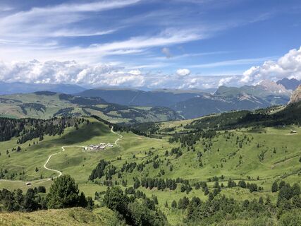 © PRO1ECréé le 28.07.2023
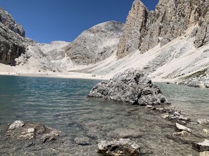
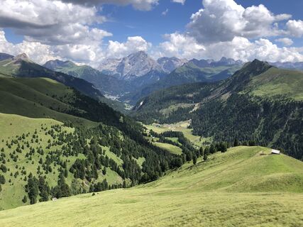
 © Anton HallerCréé le 17.07.2025
 © Anton HallerCréé le 17.07.2025
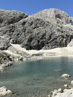
 © MASSIMO RossatoCréé le 21.07.2024
 © MASSIMO RossatoCréé le 21.07.2024
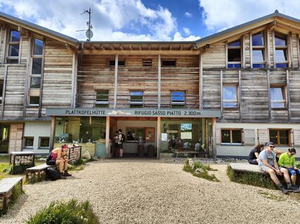
 © PrinciCréé le 11.07.2024
 © PRO1ECréé le 28.07.2023
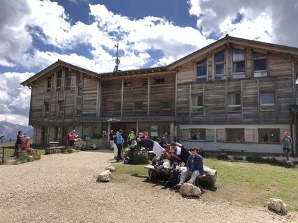 © PRO1ECréé le 28.07.2023
 © PRO1ECréé le 28.07.2023
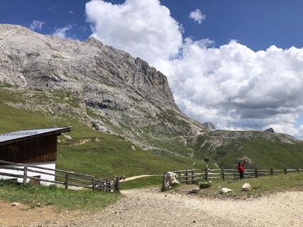 © PRO1ECréé le 28.07.2023


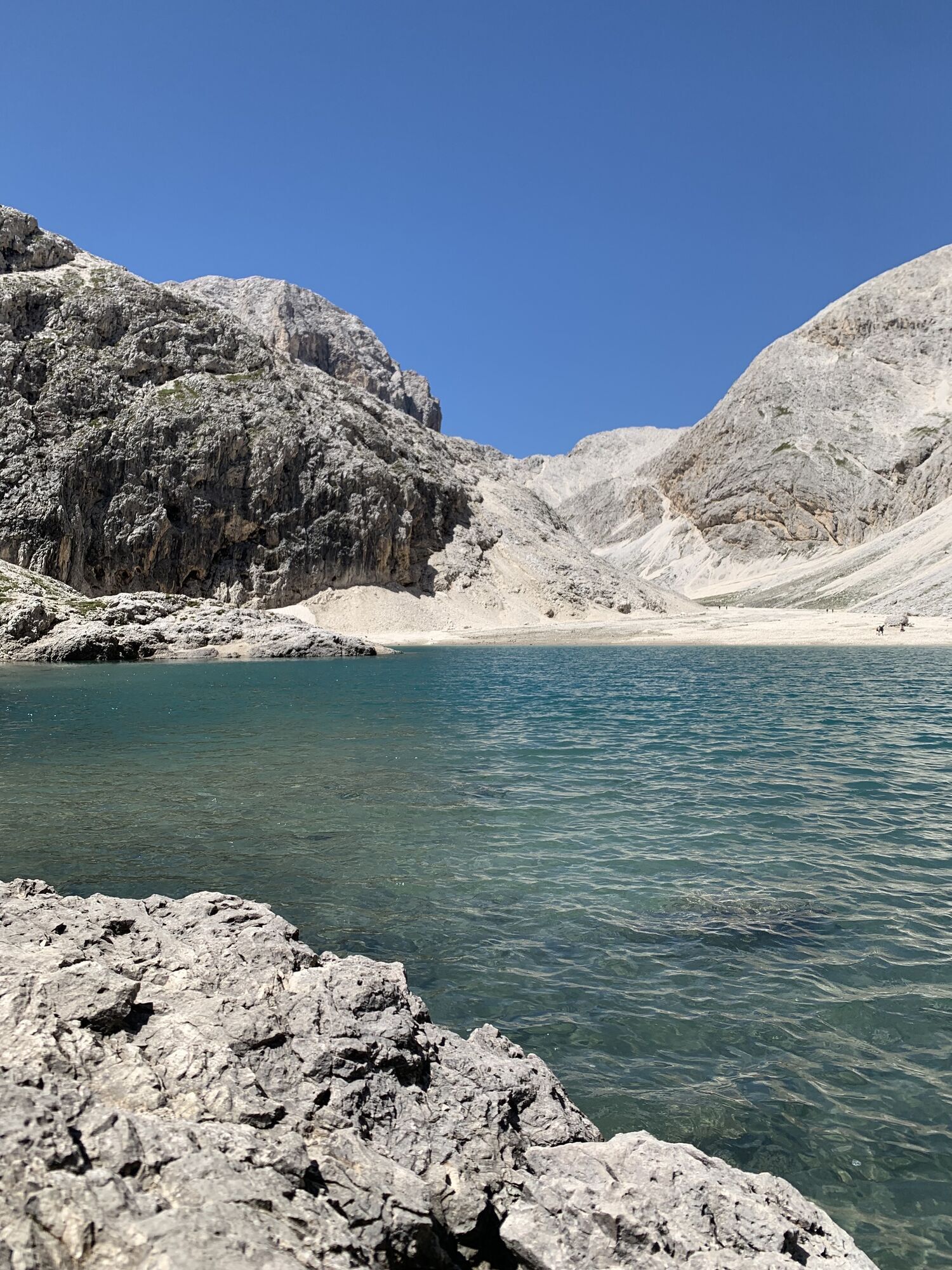
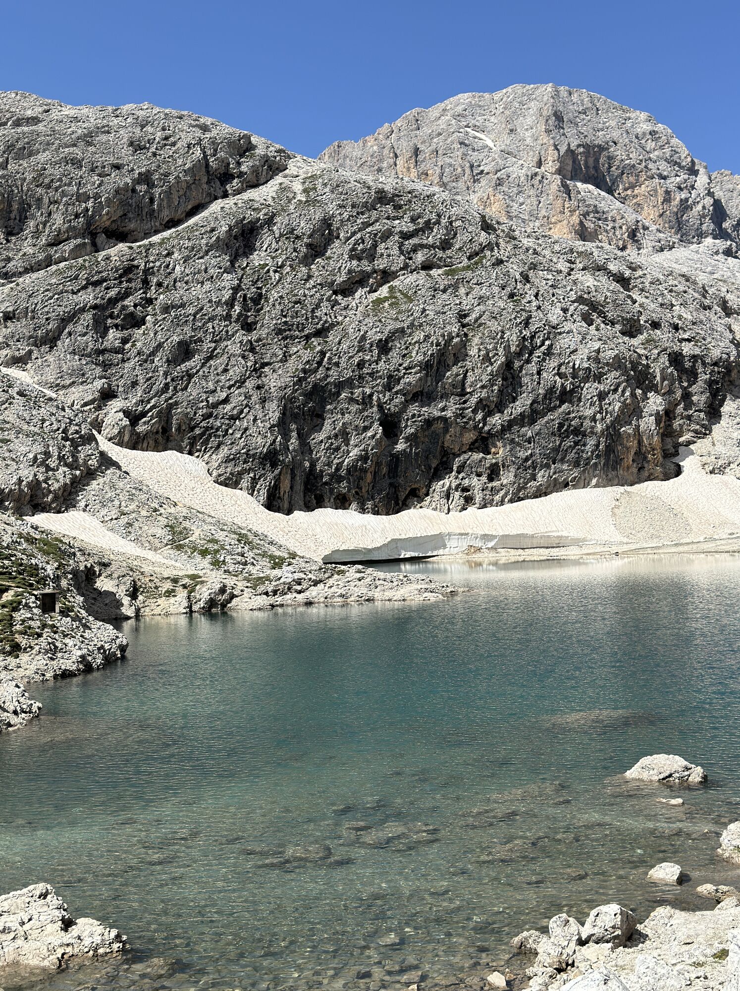
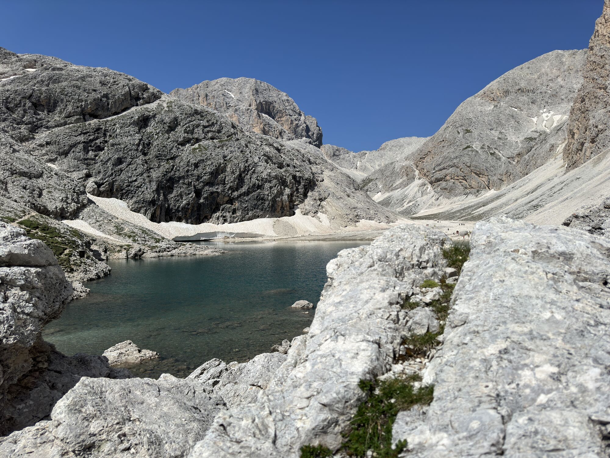

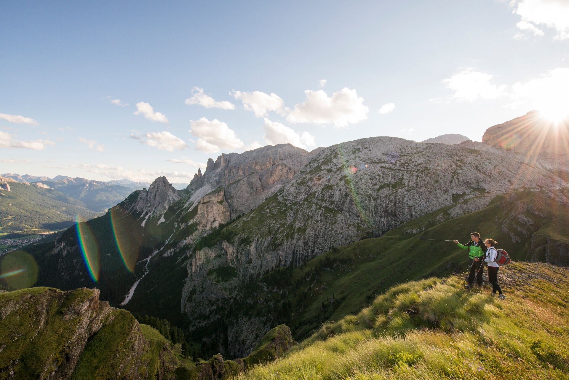
From the Antermoia Refuge, the path joins trail no. 580, which descends to the left in steep curves towards the "Dona" Pass and then the "Ciaréjoles" Pass. Turn left into path no. 555 in order to descend...
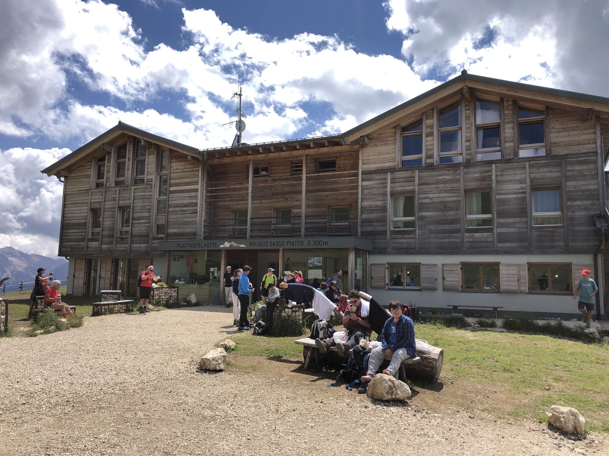
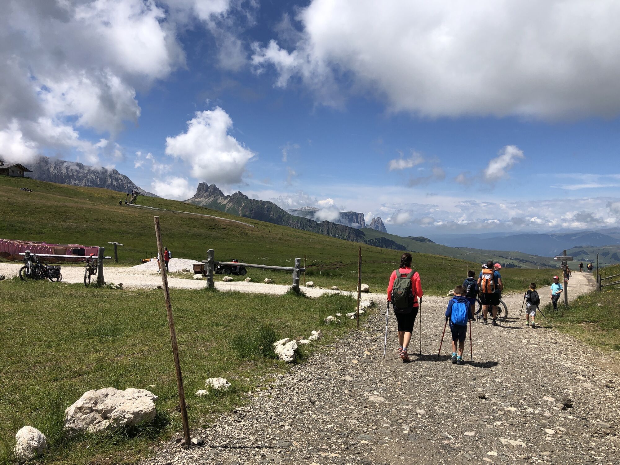
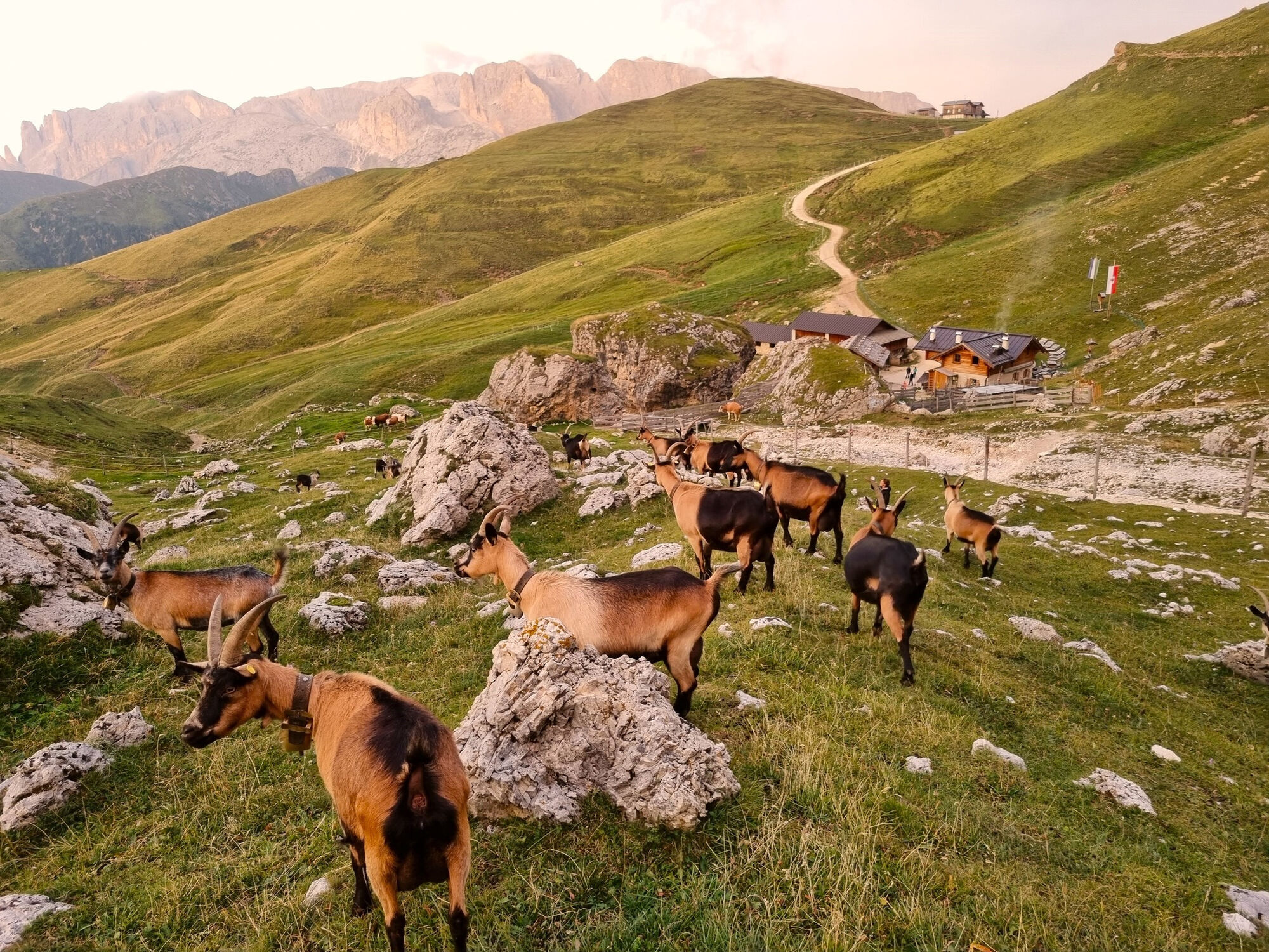
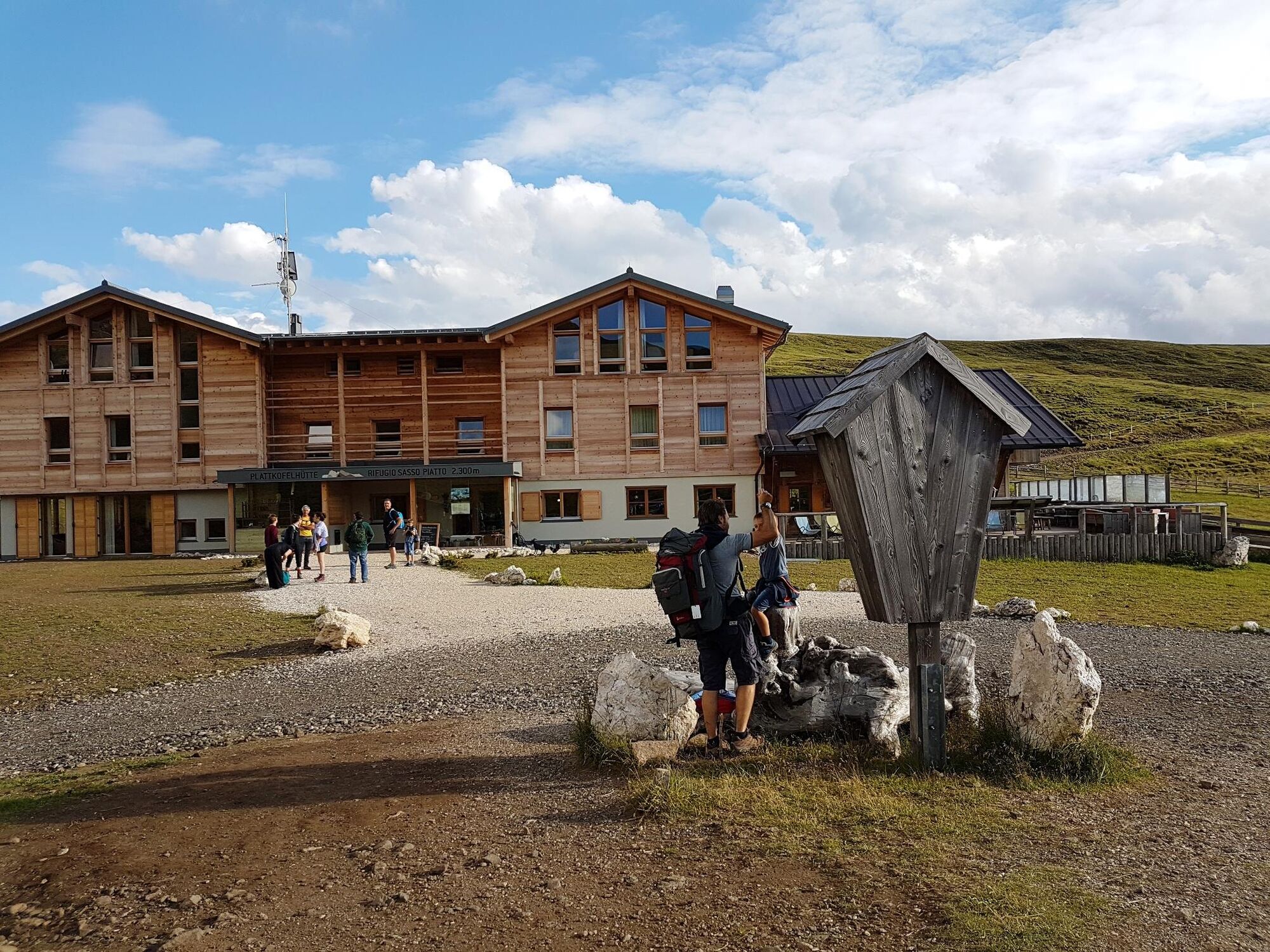
From the Antermoia Refuge, the path joins trail no. 580, which descends to the left in steep curves towards the "Dona" Pass and then the "Ciaréjoles" Pass. Turn left into path no. 555 in order to descend into the Val Duron and then keep going up on path no. 532 until the Duron Pass. From the slope of the Val Duron you will follow path no. 4-594 along the Siusi crest, where a number of saddles along the way also open spectacular views of the Alpe di Siusi and the Odle from the opposite slope. Continuing, you will reach Sasso Piatto Refuge, where the overnight is planned.


From the Antermoia Refuge, the path joins trail no. 580, which descends to the left in steep curves towards the Dona Pass and then the "Ciaréjoles" Pass.
Reach the Sasso Piatto Refuge, where the overnight is planned.
Wear adequate clothing, footwear and equipment suitable for the length and grade of difficulty of trail to be taken. Always try to be self-sufficient and carry with you the necessary to face possible emergency situations and a first aid kit.
1. Plan your excursion according to your skills and the weather.
2. Walk slowly, enjoy the landscape and the silence.
3. Inform somebody about your itinerary, return time and possible changes.
4. Rely on professionals (Alpine and local guides).
5. Help those in need. Call 112 only in case of real necessity.
6. Make sure you have suitable clothes and equipment + some water and snacks.
7. Respect the environment around you and its inhabitants. Bring back your rubbish.
8. Follow the marked trails avoiding those in the bike park.
9. To protect the wonders of nature, leave everything in its place.
10. Bring your pet along, but keep it on a leash.
exit Ora/Egna, S.S. 48 delle Dolomiti - Passo San Lugano - Val di Fiemme - Val di Fassa (distance km 45). From the Moena bypass (artisan area) towards Canazei Bolzano Nord exit, S.S. 241 Grande Strada delle Dolomiti - Passo Carezza - Vigo di Fassa (distance km 40). From Vigo northwards towards Canazei, southwards towards Soraga di Fassa and Moena
Other accesses to the Val di Fassa
from the A27 (Venice) motorway, exit Belluno/Ponte nelle Alpi, S.S. 203 for Agordo and S.P. 346 Passo San Pellegrino - Moena (Val di Fassa). From the Moena bypass towards Canazei from the A27 (Venice) motorway, exit Belluno/Ponte nelle Alpi, S.S. 203 for Agordo/Alleghe/Rocca Pietore. S.P. 641 Passo Fedaia - Canazei coming from Arabba, S.S. 48 Passo Pordoi - Canazei from Val Gardena, S.S. 242 Passo Sella - Canazei
line no. 101 Canazei - Cavalese - Trento line no. 104 Cavalese - Ora - Trento line no. 123 Moena - San Pellegrino Pass - Falcade
Public transport lines SAD - Val di Fassa: 
line no. 180 Vigo di Fassa - Carezza Pass - Bolzano
: 3 free and independent trekking tours of medium difficulty 1 night in a Dolomiti Walking Hotel (first and last night), in a double room, with half board 2 overnight stays in a refuge, in a multiple room, with half board 1 cotton sleeping bag for overnight stays in the refuge map of Val di Fassa trails
Tourist Board Val di Fassa
Strèda Roma, 36
38032 Canazei (TN)
Phone +39 0462 609500
info@fassa.com
www.fassa.com
Organised 3-day high altitude trekking, from refuge to refuge, to discover the most beautiful peaks of the Fassa Dolomites on foot.
The tour counts 3 stages on well-indicated CAI-SAT paths. From any point, it is possible to descend to the valley and, thanks to the shuttle service, the mountain lifts or the public means, easily get back to the departure.
Webcams de la tournée
Col dei Rossi
Ciampedie - Rosengarten
Ciampedie - Rosengarten
Ciampedie - Rosengarten
Ciampedie - Rosengarten
Città dei Sassi
Ciampedie - Rosengarten
Ciampedie - Rosengarten
Ciampedie - Rosengarten
Ciampedie - Rosengarten
Campitello di Fassa - Col Rodella
Florianlift Bergstation
Florianlift Bergstation
Florianlift Bergstation
Florianlift Bergstation
Florianlift Bergstation
Val Gardena Sasso Levante
Zallinger
Seiseralm - Punta d’oro
Parcours populaires à proximité
- 4,7
Anello Passo Pordoi-Forcella P-Piz Boè
moyenRandonnée10,6 km - 4,7
Puflatsch Umrundung
facileRandonnée8,37 km - 4,6
Pordoi Pass - Sass Pordoi - Forcella Pordoi - Piz Boè - Boè Refuge - Forcella Pordoi - Pordoi Pass
difficileRandonnée8,39 km - 4,8
Langkofel-Umrundung
moyenRandonnée12,9 km - 4,2
Rundwanderung Compatsch-Schlernhaus-Tierser Alpl
moyenRandonnée21,2 km - 4,4
Dolomiten Sellagruppe, Alb. Col di Lana, Sas de Pordoi, Piz Boé retour 22.06.2016
moyenRandonnée5 km - 4,9
Lang- und Plattkofel Umrundung
moyenRandonnée17,5 km - 4,6
Umrundung Langkofel und Plattkofel, Gipfel Plattkofel
difficileRandonnée21,8 km - 2,4
Der Friedrich-August-Weg
facileRandonnée10,5 km - 3,6
Der Friedrich-August-Weg
moyenRandonnée10,4 km
Randonnée et suivi


Ne manquez pas les offres et l'inspiration pour vos prochaines vacances
Votre adresse électronique a été ajouté à la liste de diffusion.