







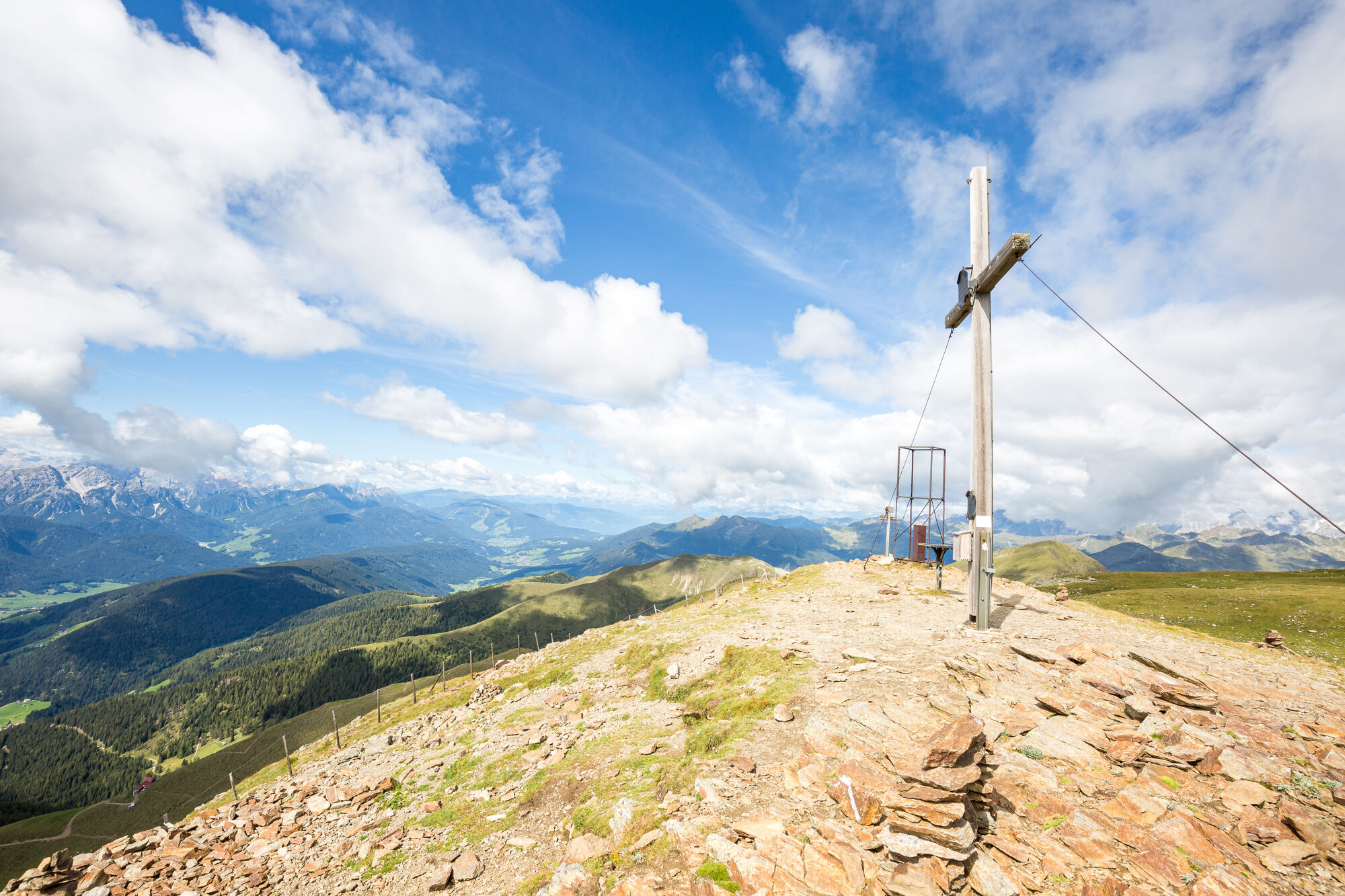
Mountain hike „Bonner Höhenweg and Toblacher Pfannhorn (2663m)

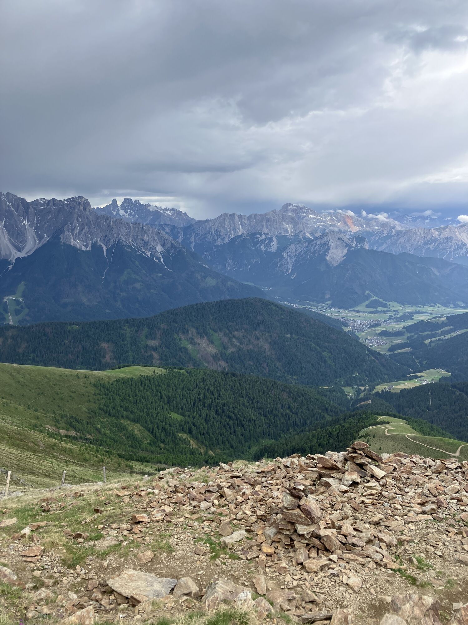
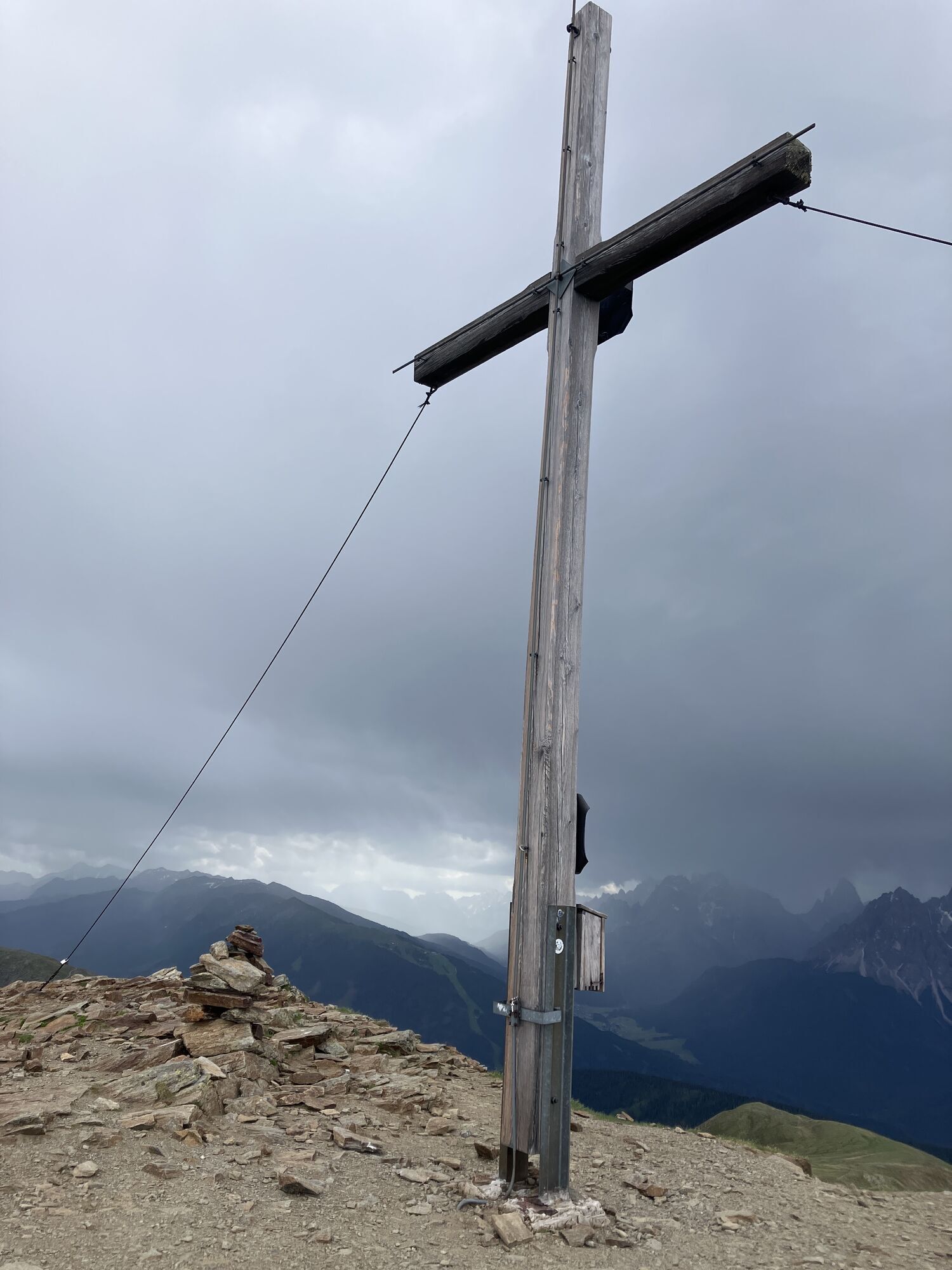
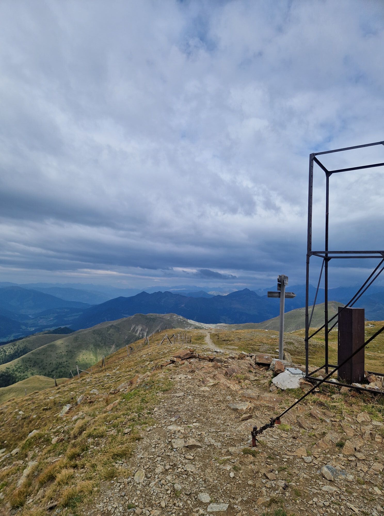
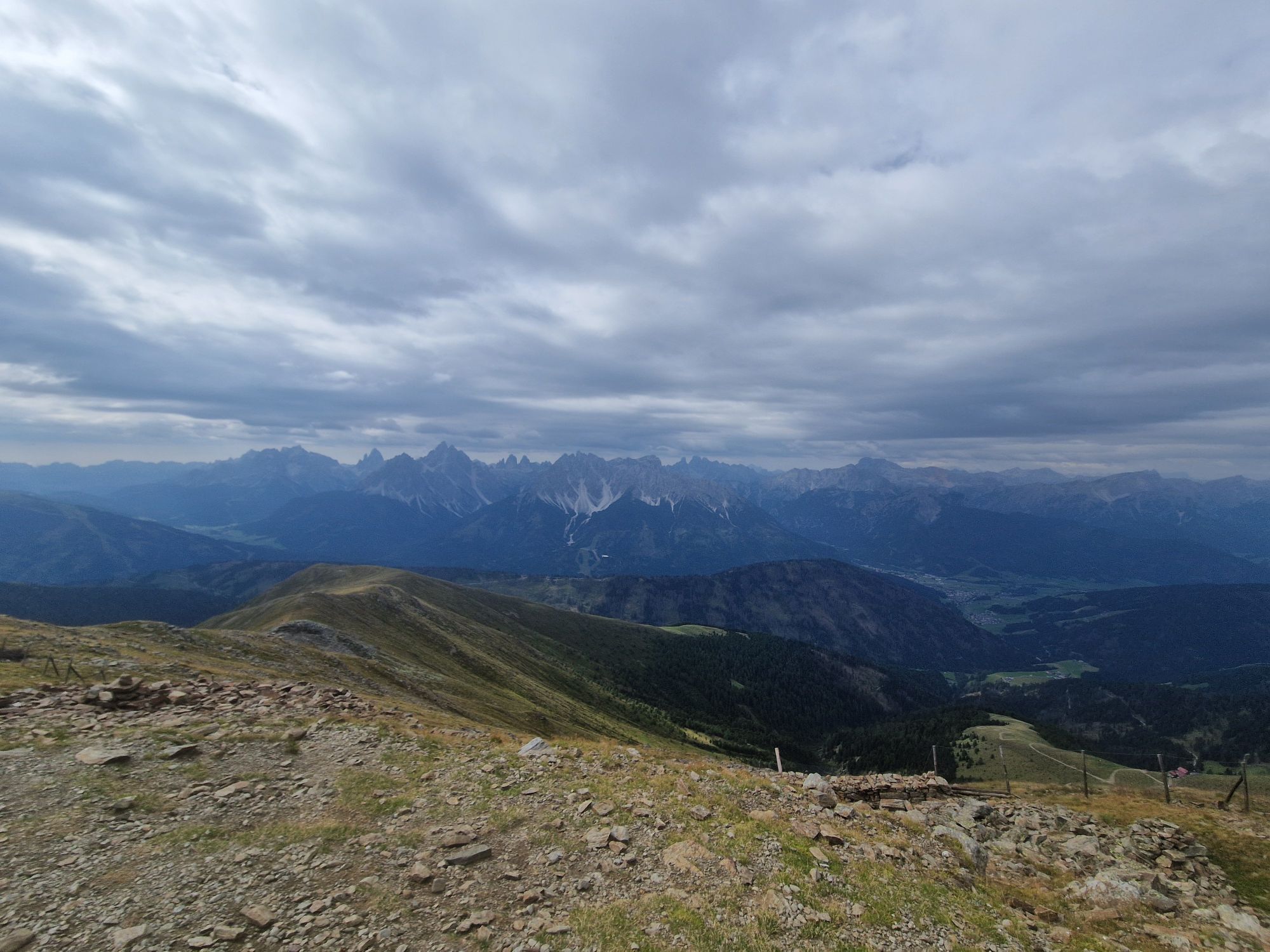
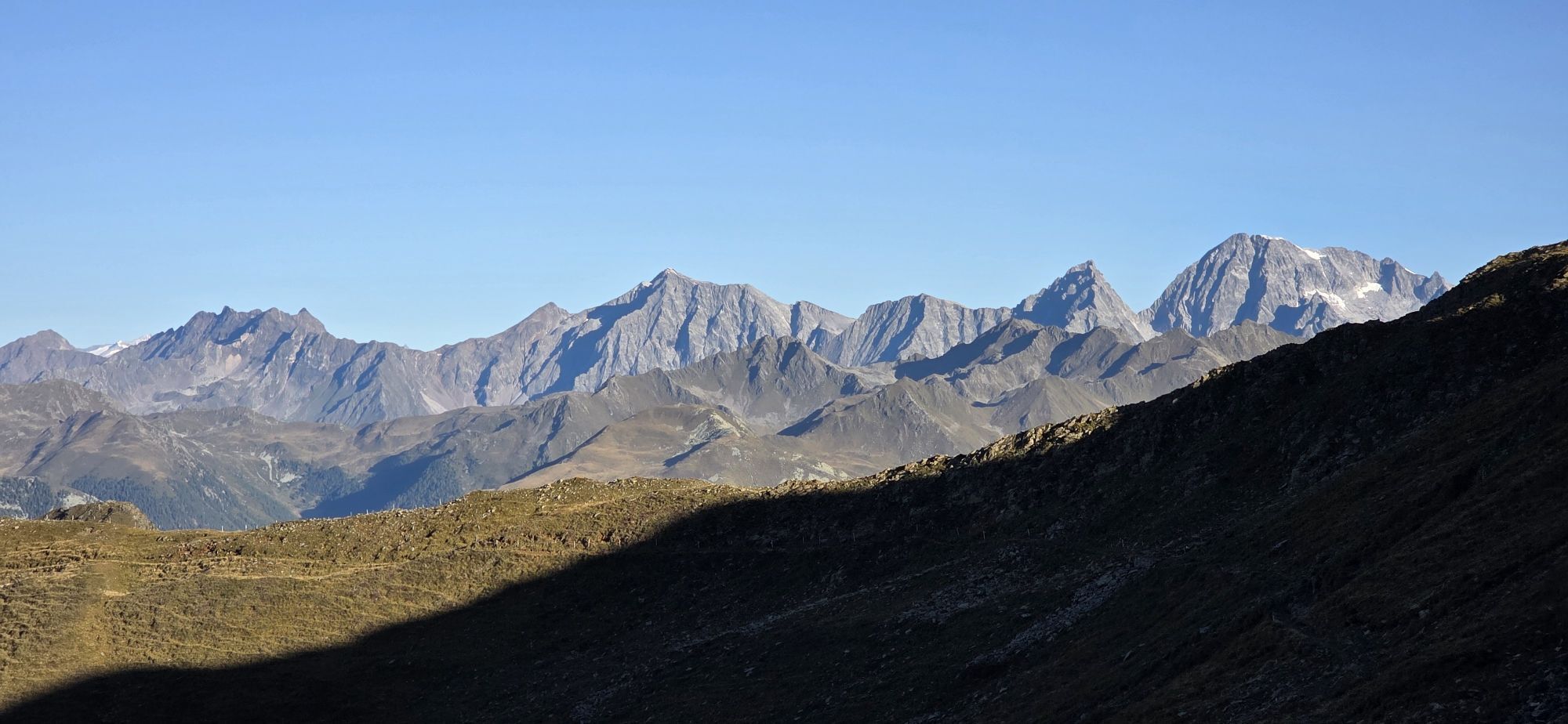
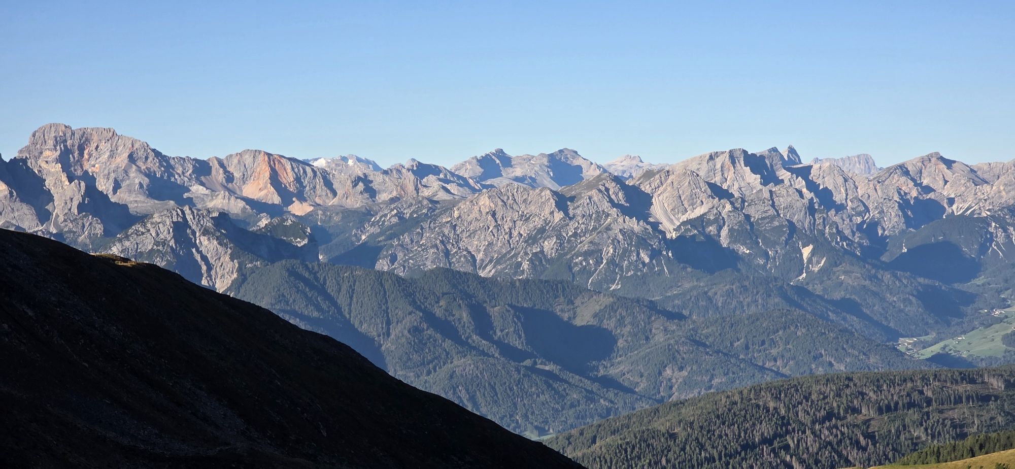
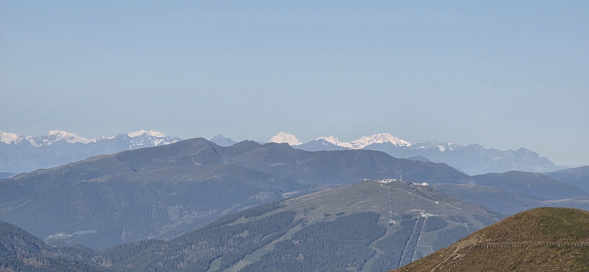
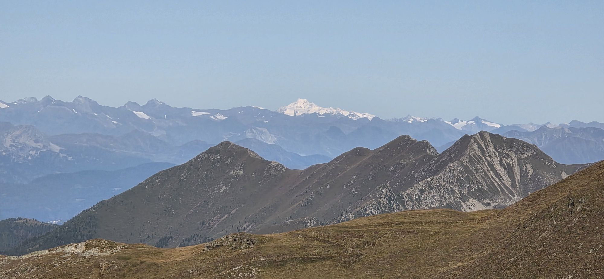
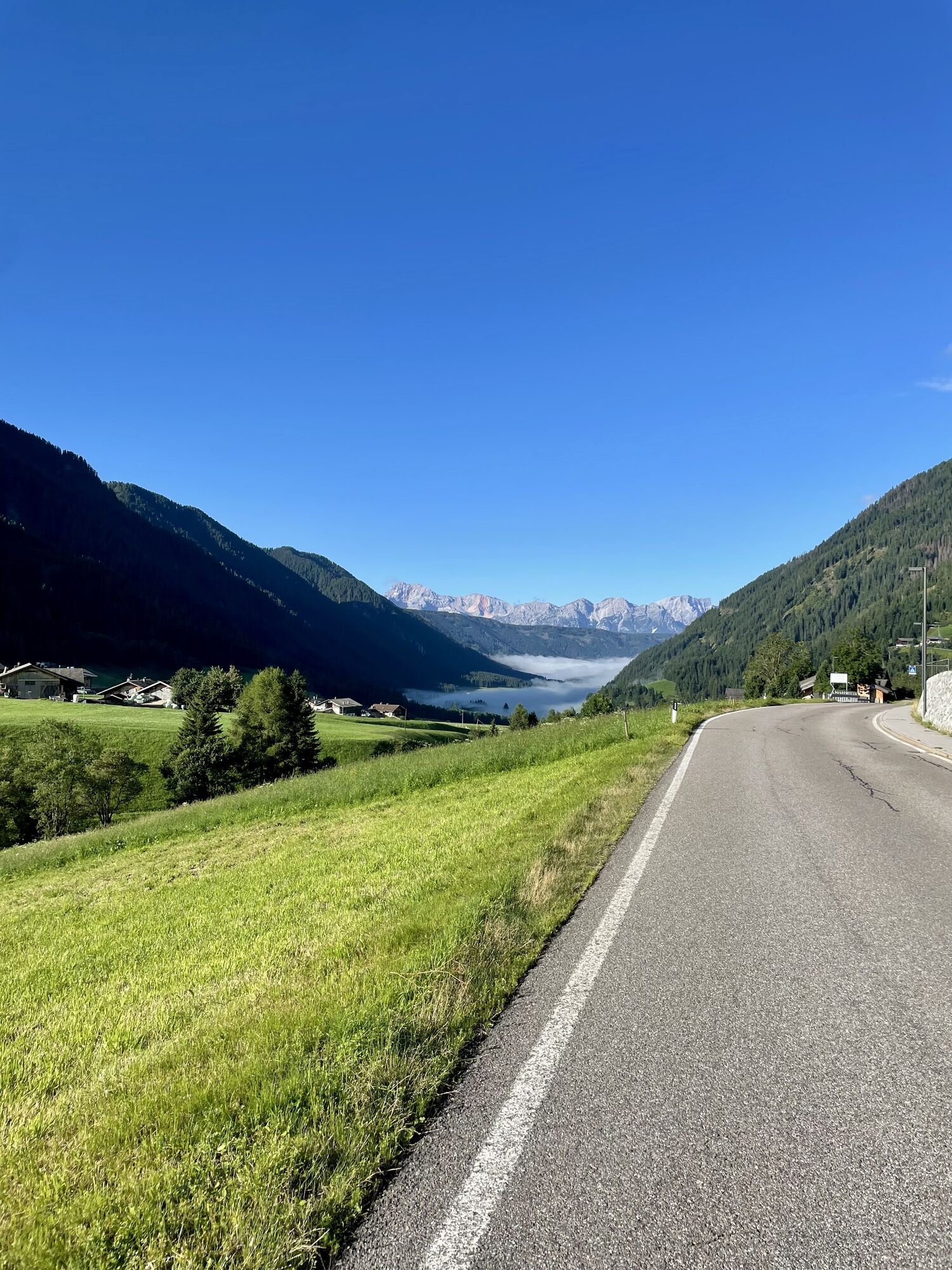
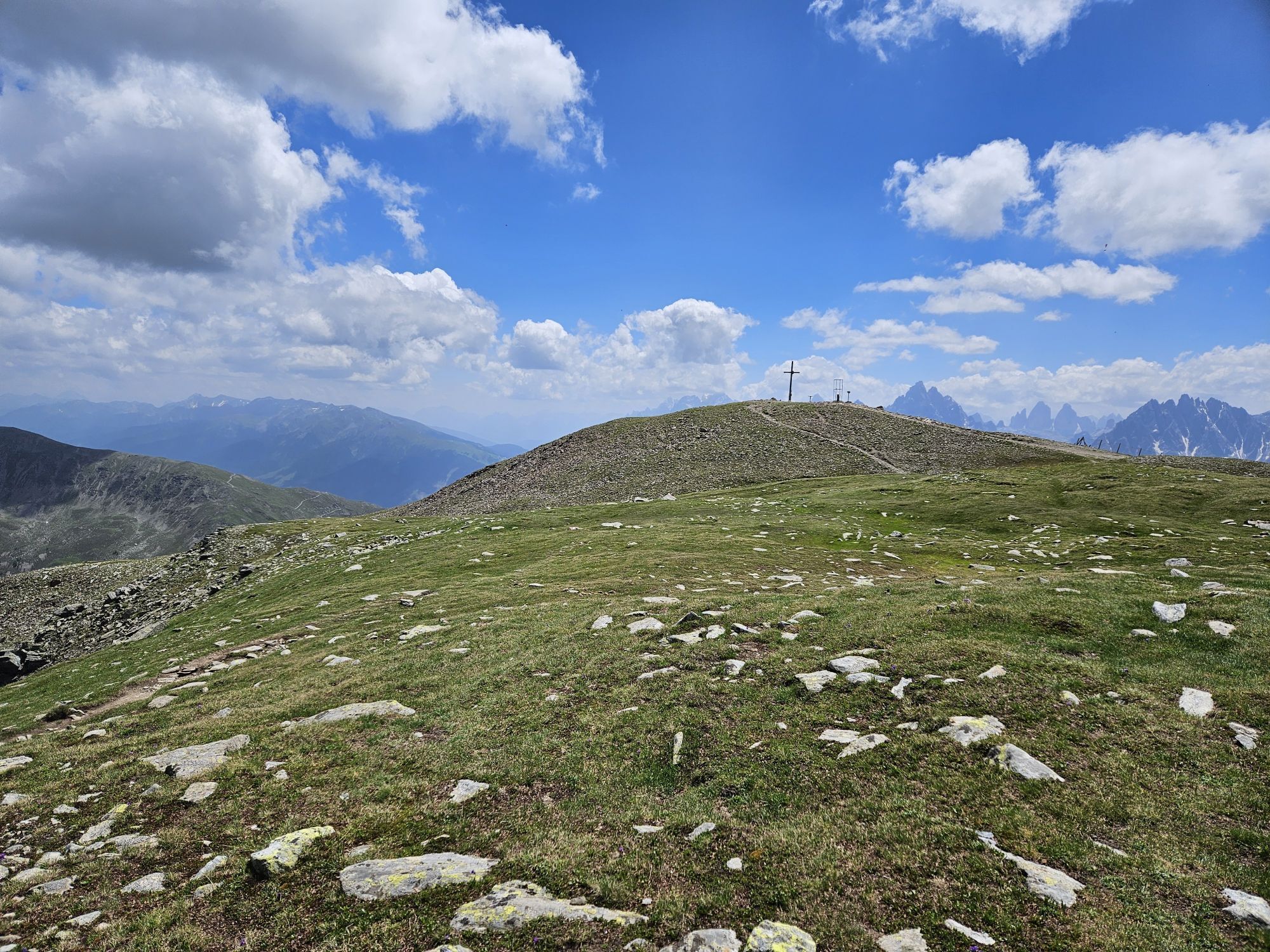
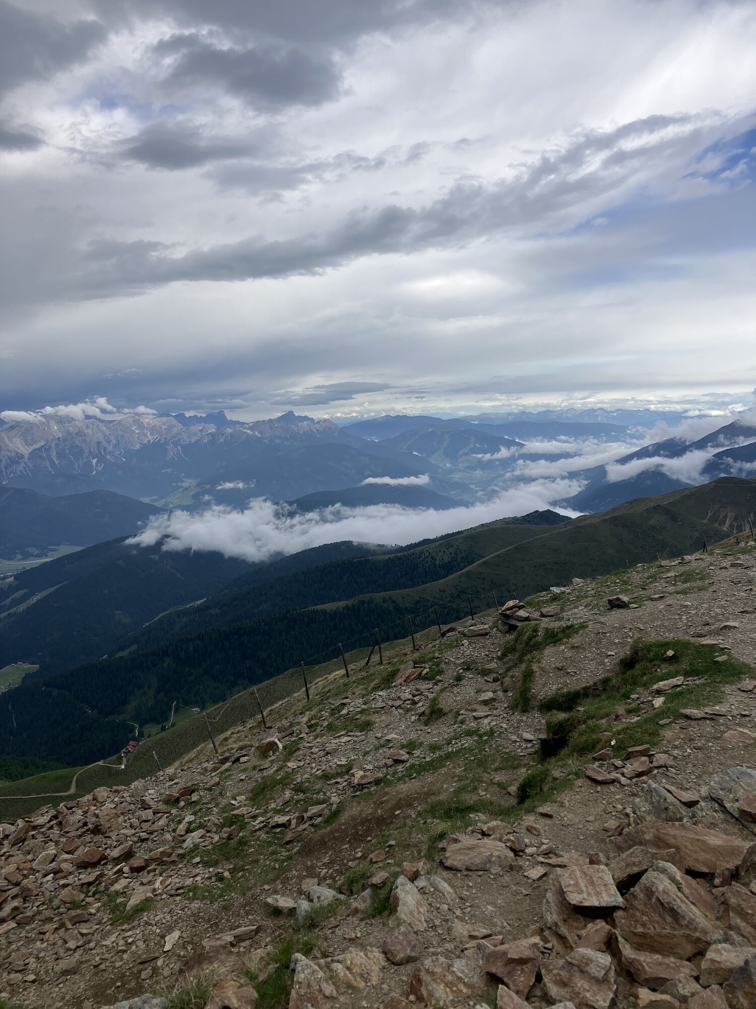
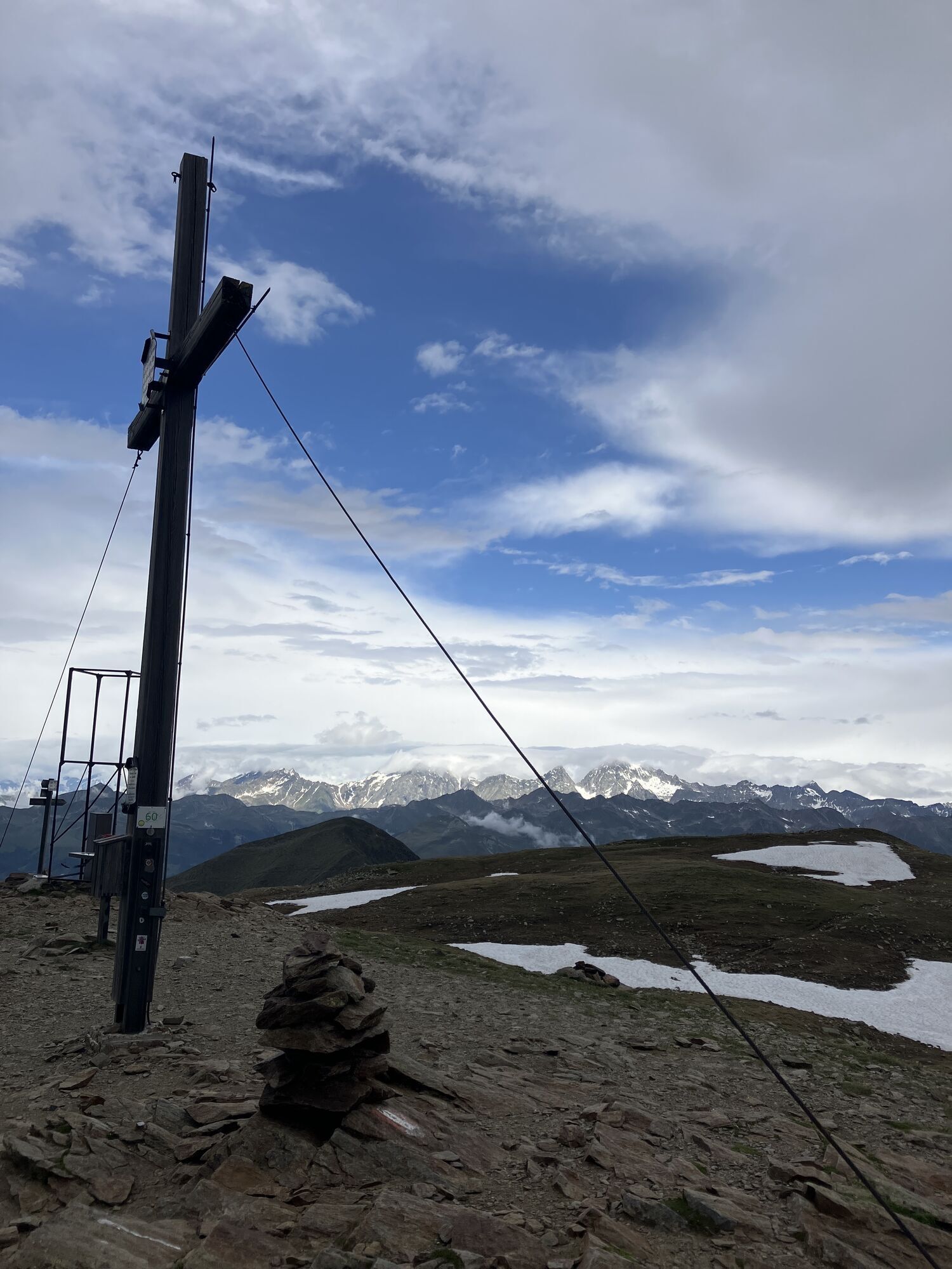

Starting from the valley head in San Maddalena/Val Casies Valley (1460m, refreshment point, parking), turn right over the stream and follow the agricultural road no. 47 south-eastwards and upwards through...
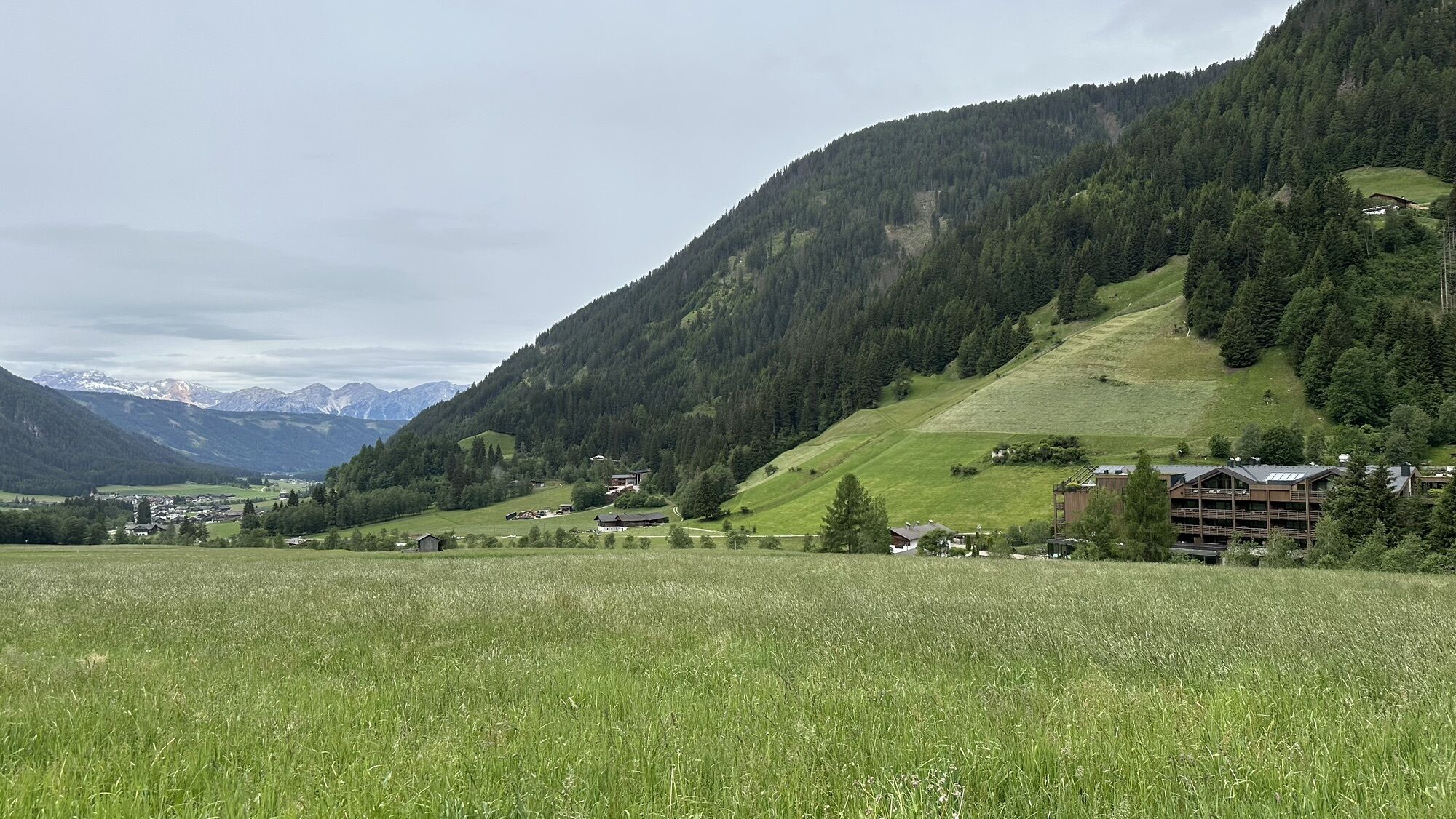
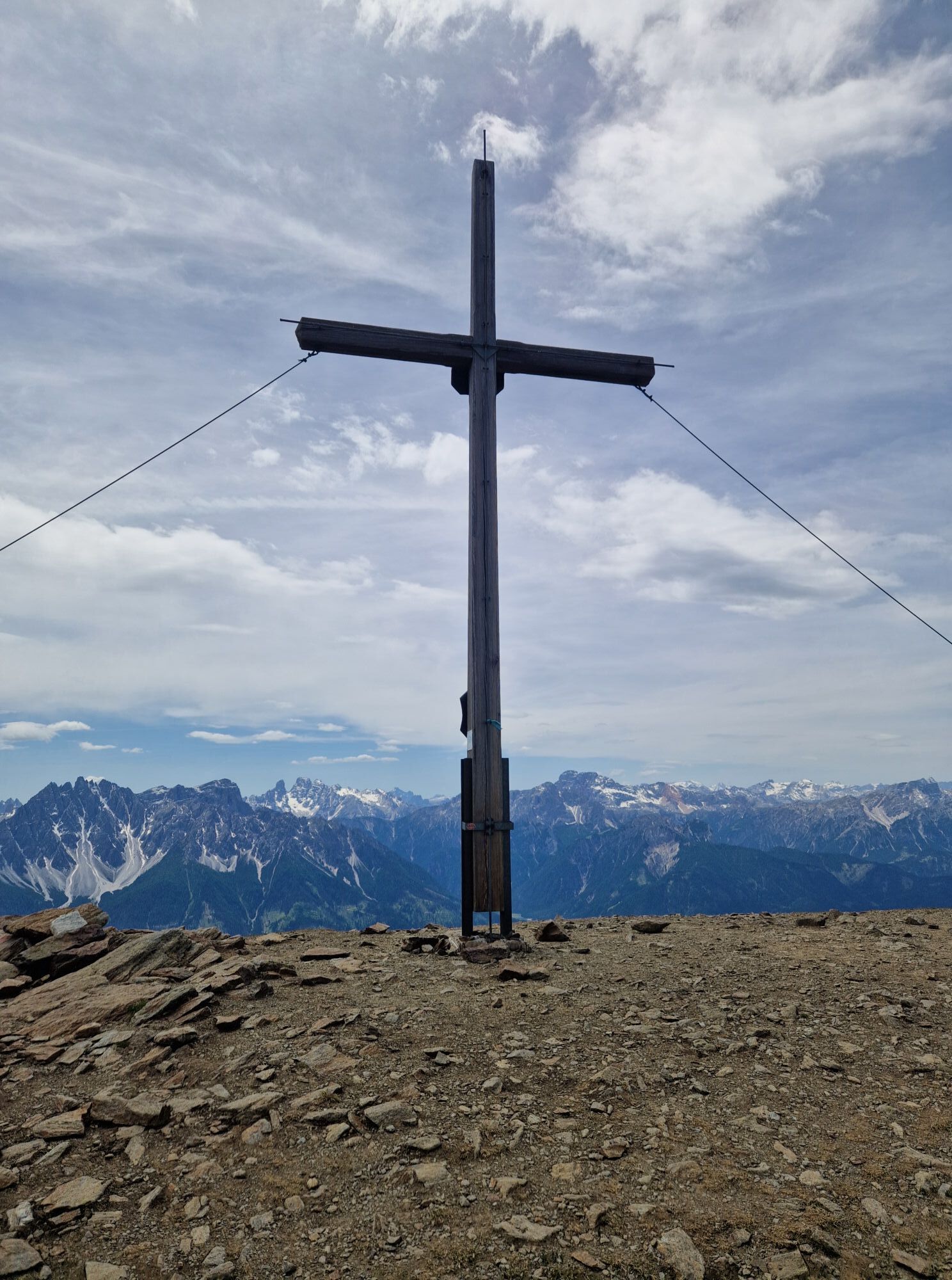
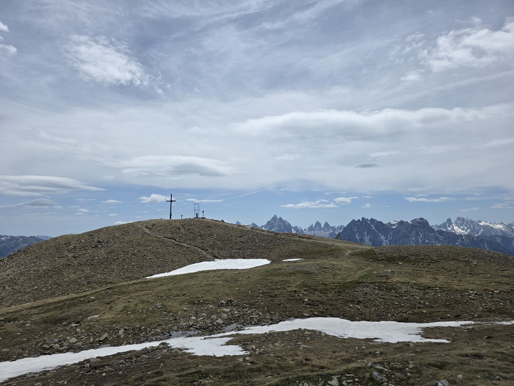
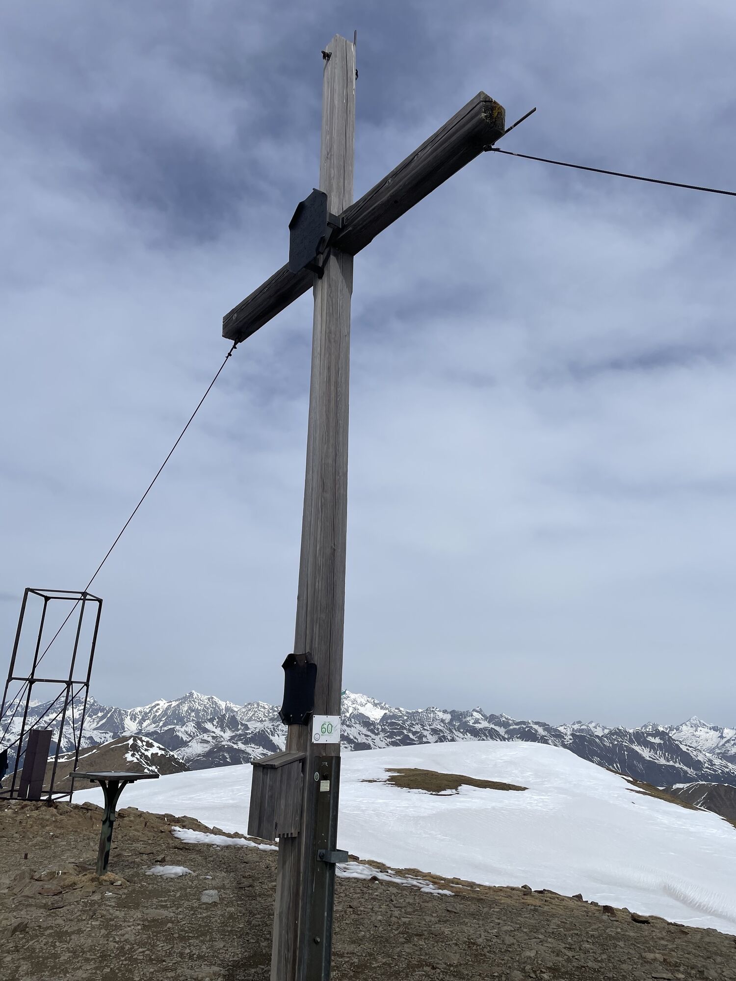
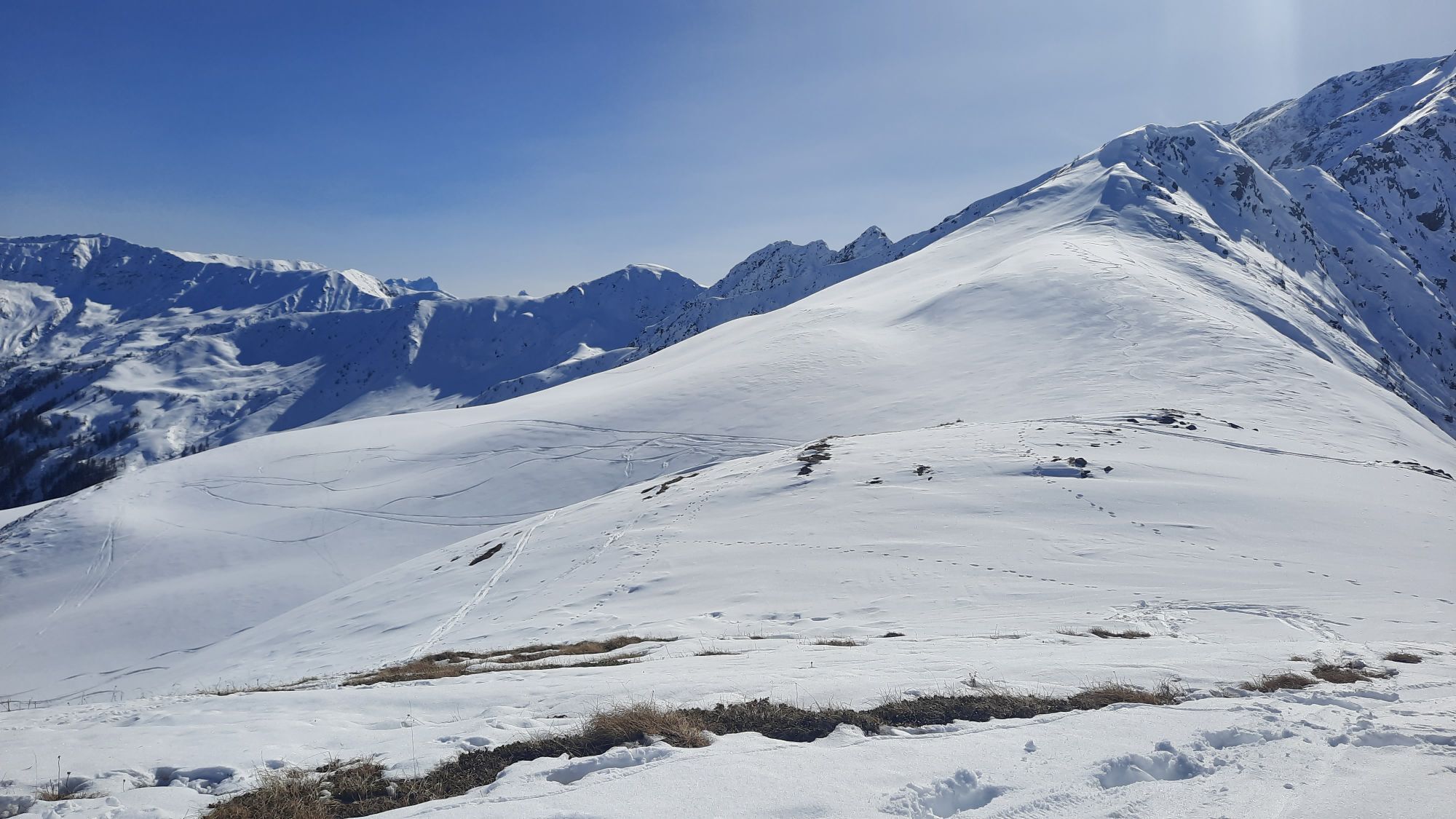
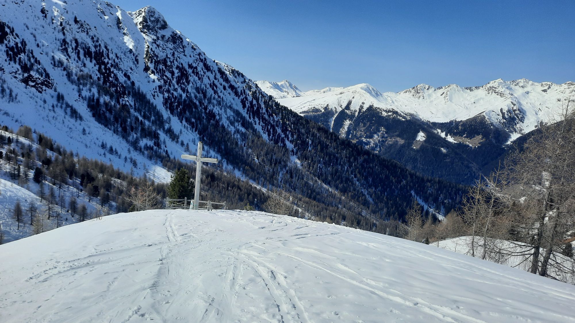
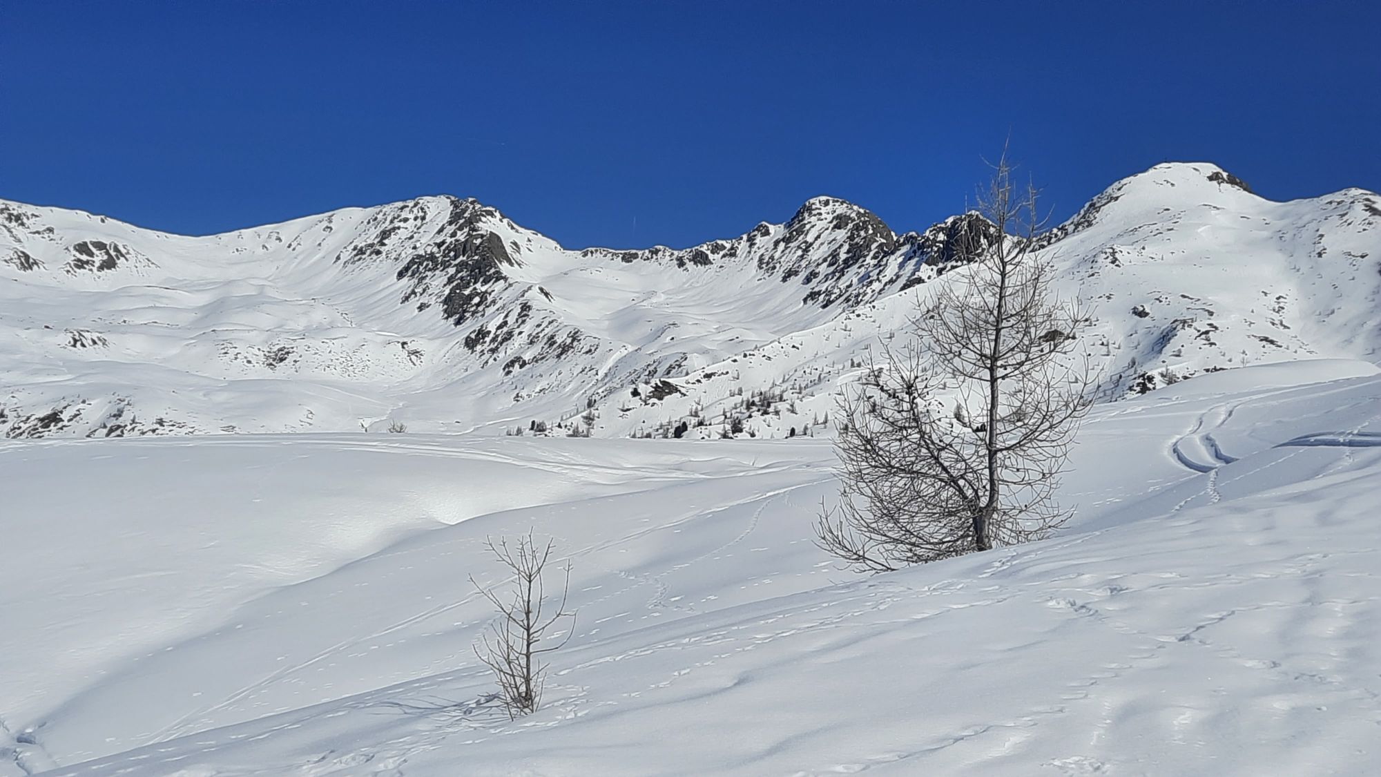
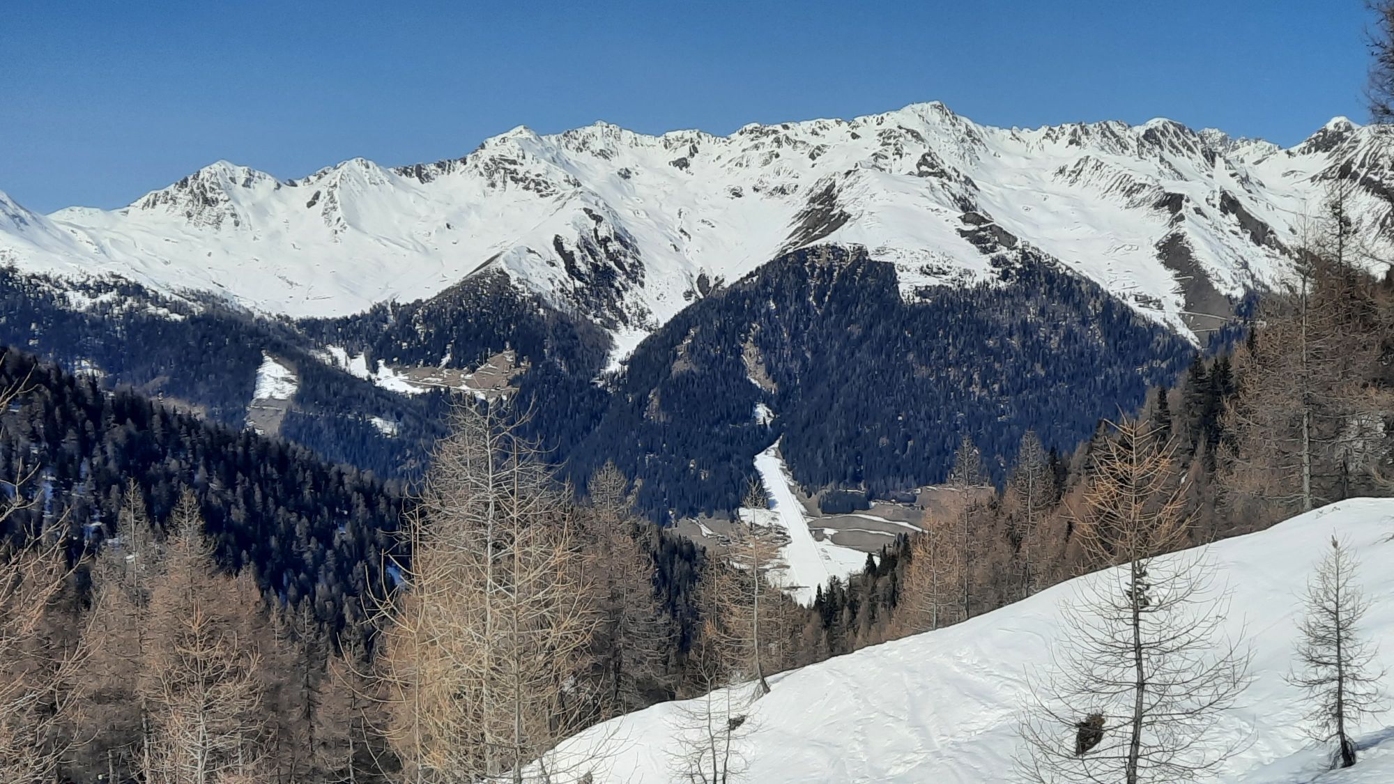
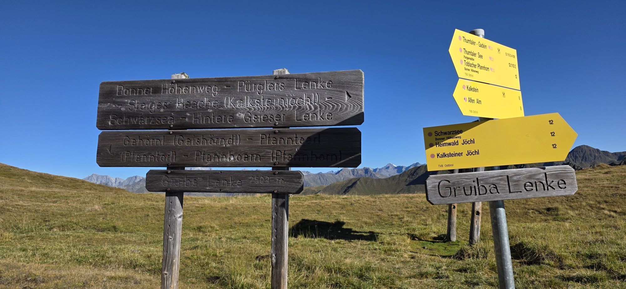
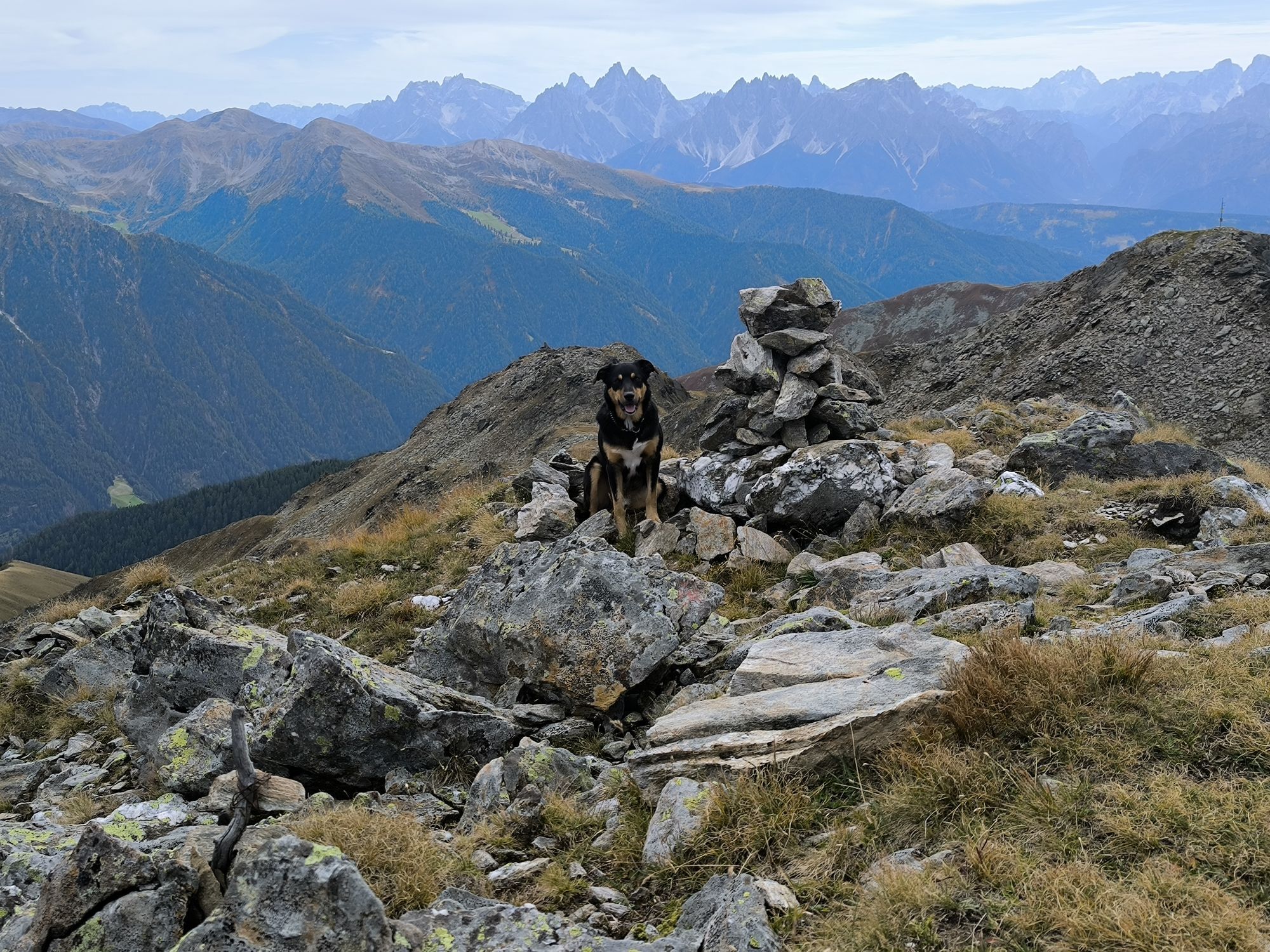
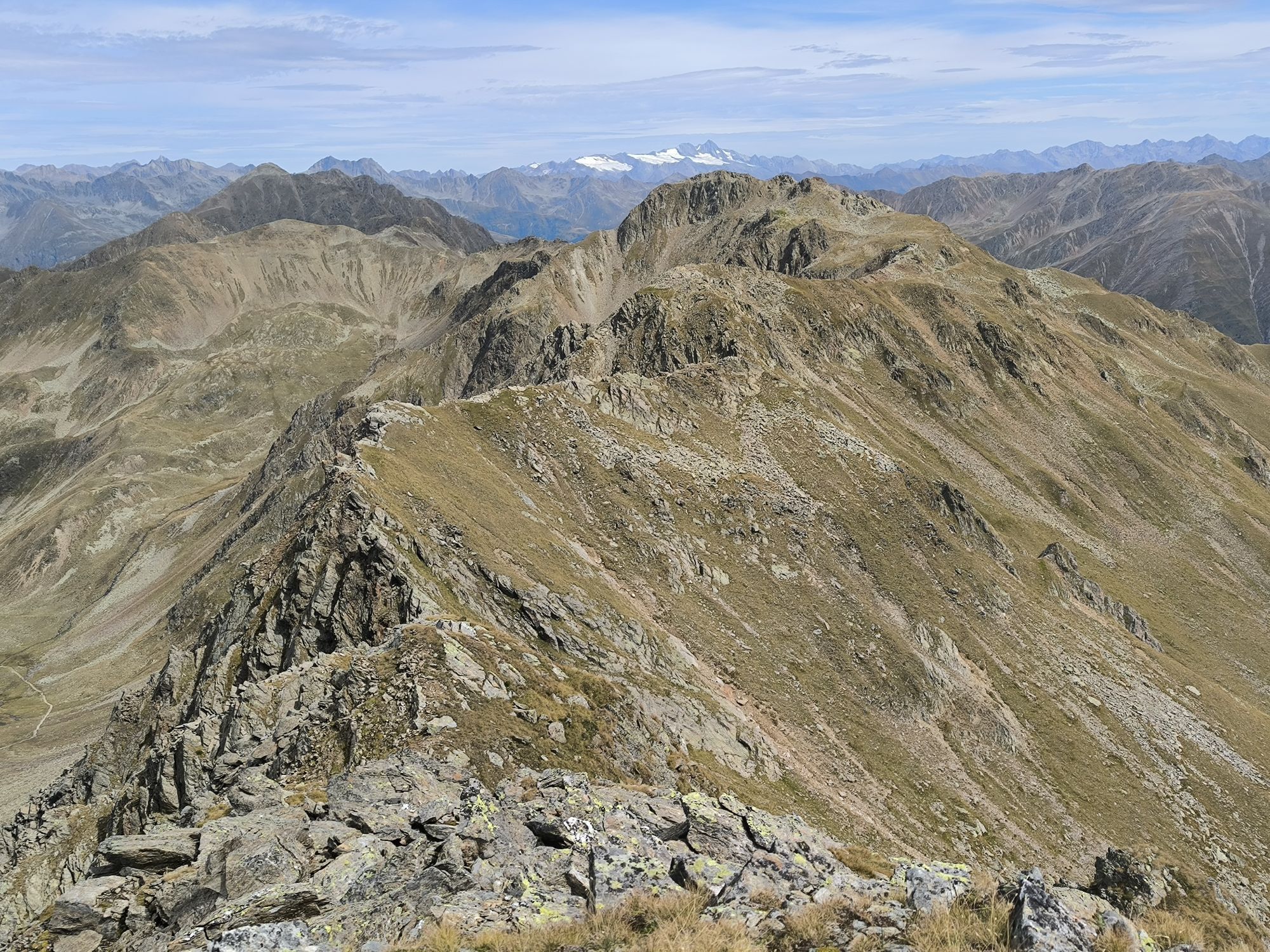
Starting from the valley head in San Maddalena/Val Casies Valley (1460m, refreshment point, parking), turn right over the stream and follow the agricultural road no. 47 south-eastwards and upwards through the Köfler Valley. At the fork with several signposts, turn right and follow the forest road no. 48 through the woods up until the Tscharnietalm (1976m, not a refreshment point). Proceed on path no. 48, south-eastwards, up to the fork and then follow the markings no. 48 A (left or rather straight), eastwards, up to the Kalksteinjöchl (2349m). Now continue on the Bonner Höhenweg, trail no. 12, on the eastern ridge, evenly crossing steep grassy slopes in a southward direction to the Pfanntörl (2511m). Now left, over the northwest ridge of the Pfannhorn, climb uphill to the summit (2663m); there are several signs for your orientation. Return: from the summit, return, at first the same way you came, to the Pfanntörl and then along the Bonner Höhenweg, on the east side of the Gaishörndl, on trail no. 8/12. Cross the steep slopes in northward direction until you reach the Gruber Lenke (small col; 2487m). Change onto the west side and follow the trail no. 44. The path starts off serpentine; it then takes you across rugged and steep terrain, and finally across pastoral slopes to the Versellalm. There is the Tolder Hütte at 1942m, somewhat lower the Hinterschuher Alm -Randlhütte, both huts offer food and drink. Then, continue on the wide agricultural road numbered 44 out through the Verselltal and finally across the Steilwald down to San Martino (1276 m). From San Martino you can take the bus for the return journey or you can hike along the View-over-the-Val Casies Valley route (30 min).



Parcours populaires à proximité
- 4,6
Mountain hike to Mountain „Lutterkopf and Durakopf (2145/2275m)“
moyenRandonnée en montagne 11,8 km - 4,8
Antholzer See - Steinzger Alm
moyenRandonnée 7,48 km - 4,7
Von Kalkstein auf das Toblacher Pfannhorn (2.663 m) und Marchkinkele
moyenRandonnée 14,2 km - 4,8
Seerunde
facileRandonnée 2,66 km - 4,7
Rund um den Antholzer See
facileRandonnée 4,27 km - 4,6
Rote Wand
moyenRandonnée d'altitude 12,0 km - 4,2
Helm und Sillianer Hütte
facileRandonnée 8,17 km - 4,8
Sillianer Hütte 2.447 m
moyenRandonnée 16,8 km - 5,0
Schwarzsee
moyenRandonnée 7,38 km - 5,0
Plätzwiese
moyenRandonnée 11,2 km

Randonnée et suivi


Ne manquez pas les offres et l'inspiration pour vos prochaines vacances
Votre adresse électronique a été ajouté à la liste de diffusion.





