


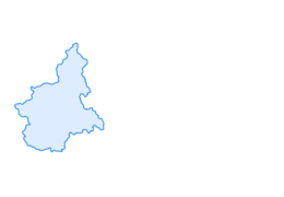

Gad-Monfol-Ferro di Cavallo


Le sentier n° 3 du parc Gran Bosco présente un dénivelé total d'environ 1 000 mètres et offre des paysages variés. En aval, le Rio Gran Comba a laissé les traces des nombreuses inondations du passé ; plus...
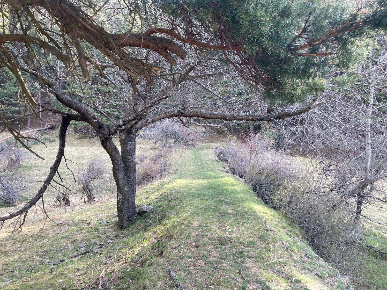
Le sentier n° 3 du parc Gran Bosco présente un dénivelé total d'environ 1 000 mètres et offre des paysages variés. En aval, le Rio Gran Comba a laissé les traces des nombreuses inondations du passé ; plus haut, le sentier passe par la chapelle de San Domenico sur une butte isolée et ensoleillée, autrefois cultivée, puis atteint le hameau de Monfol, dans une position privilégiée et panoramique. Le dernier tronçon traverse une zone alpine boisée et pâturée.
Dans la première partie du parcours, la forêt est principalement composée de pins sylvestres, tandis que dans la seconde partie, on trouve également des sapins, des mélèzes et des pins sylvestres.
Le sentier fait partie du réseau de sentiers du parc naturel Gran Bosco di Salbertrand et est marqué par l'autorité du parc avec le numéro 3.
Support et description technique par Barbara Demonte, guide de randonnée environnementale.
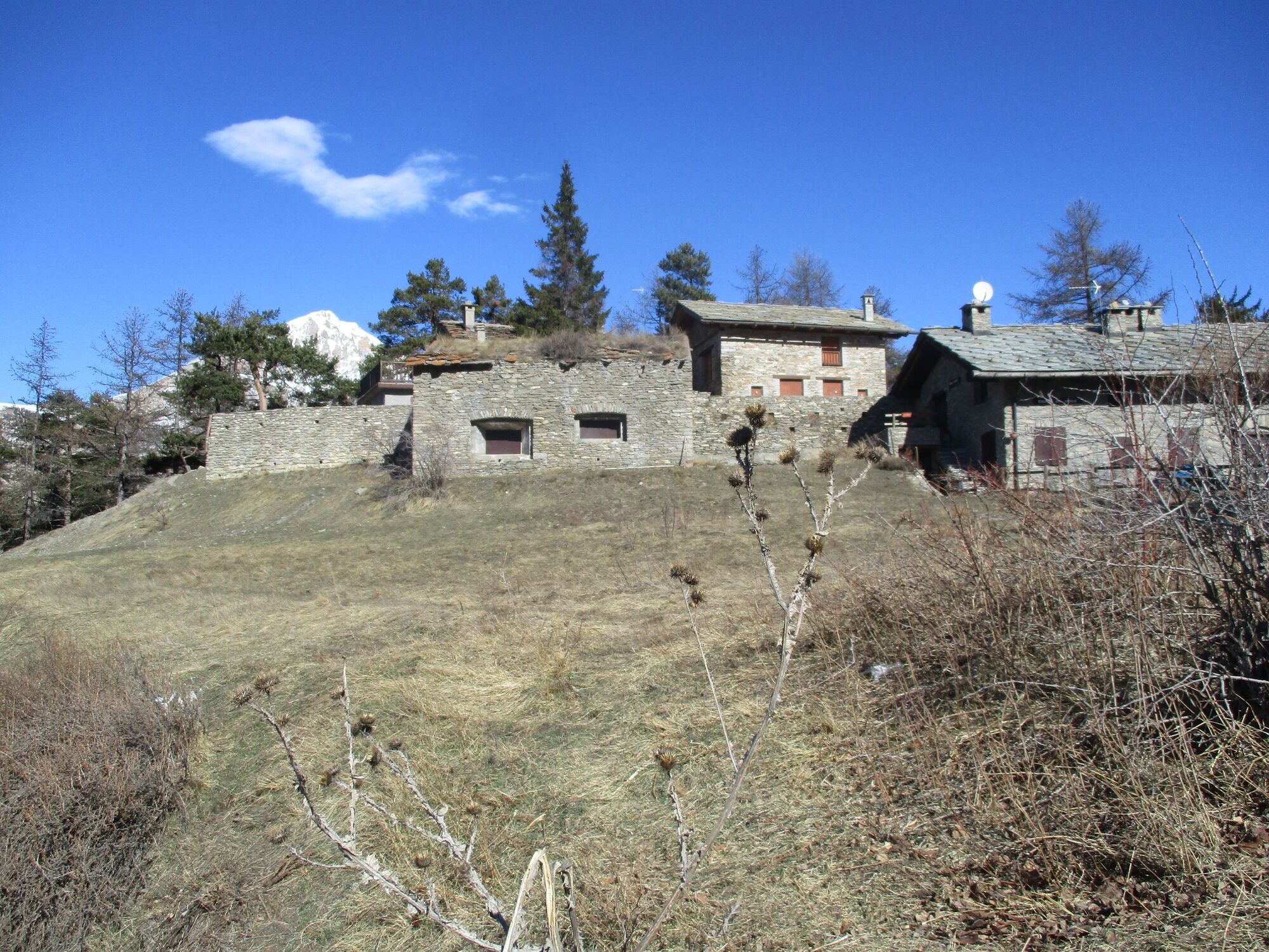
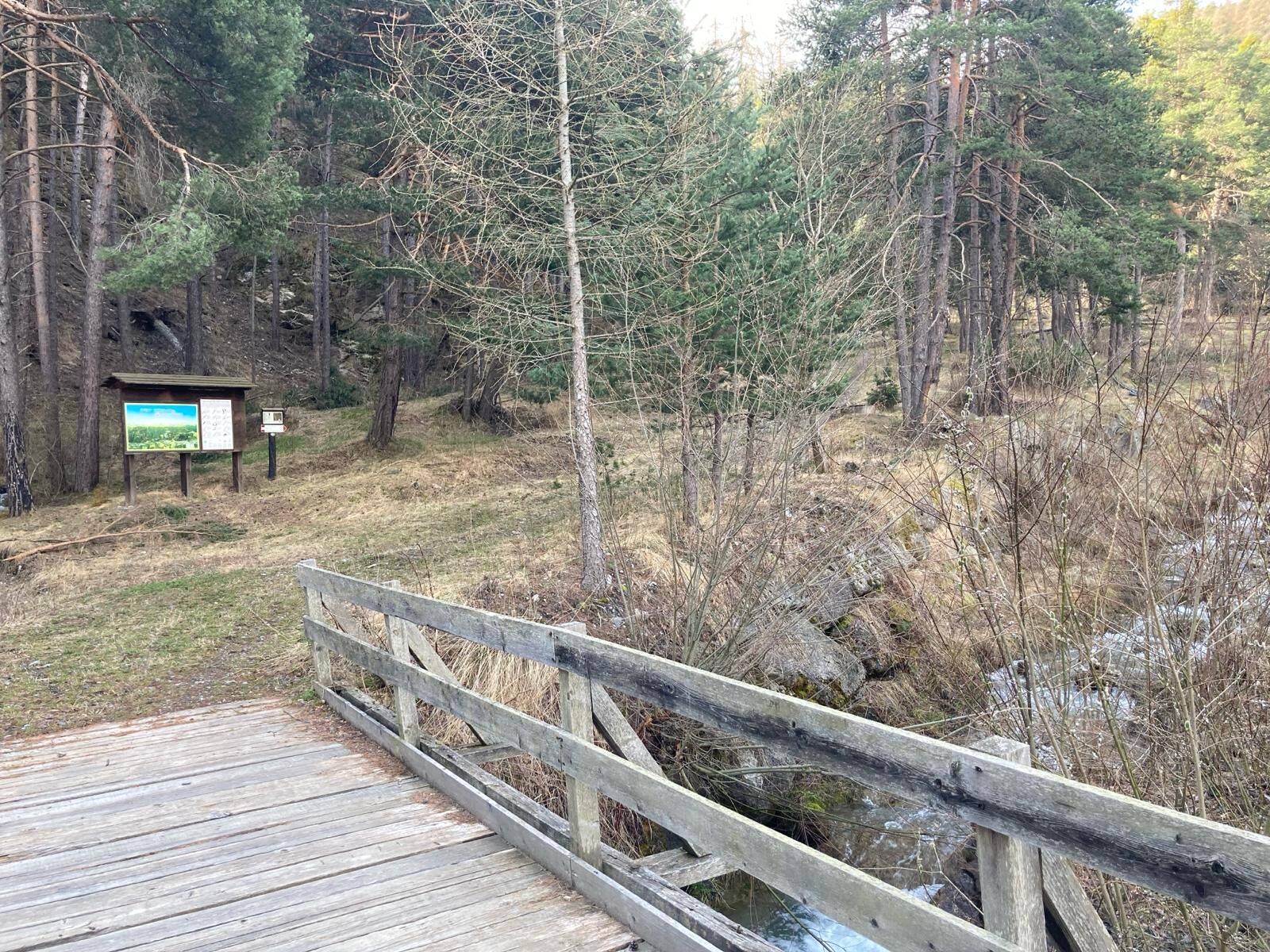
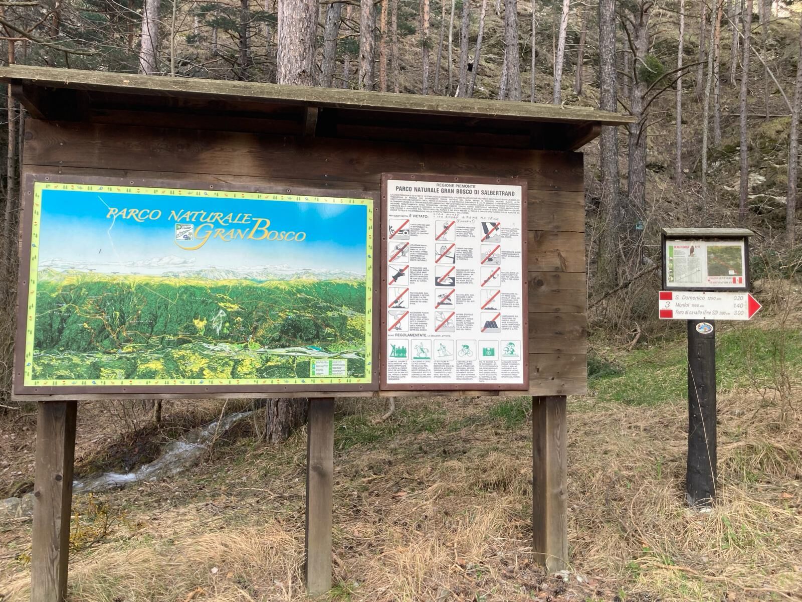
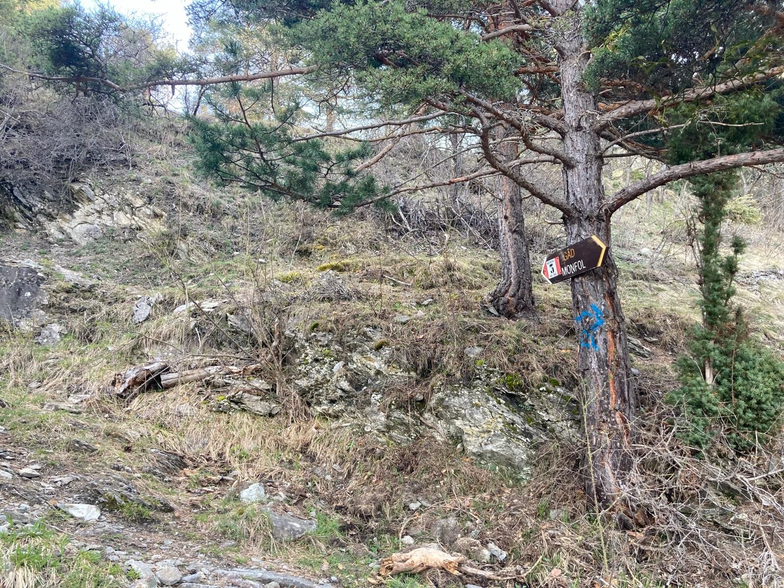
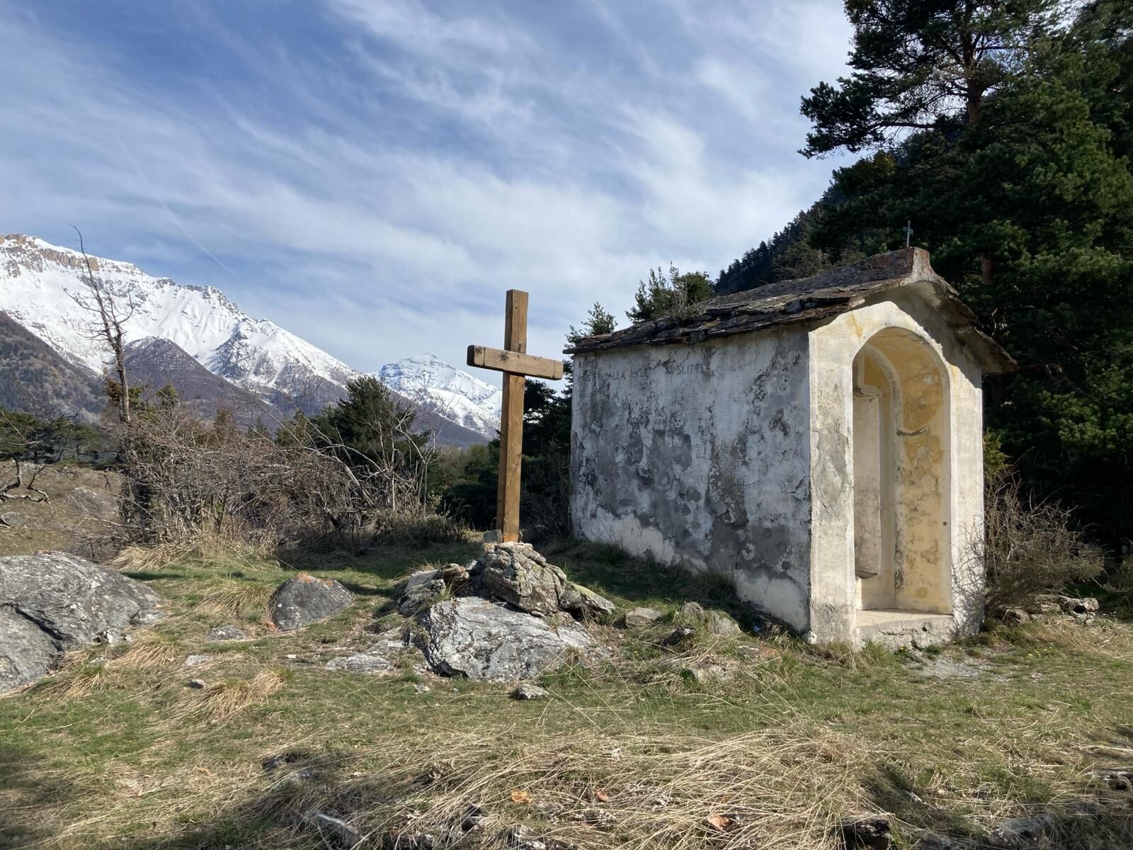
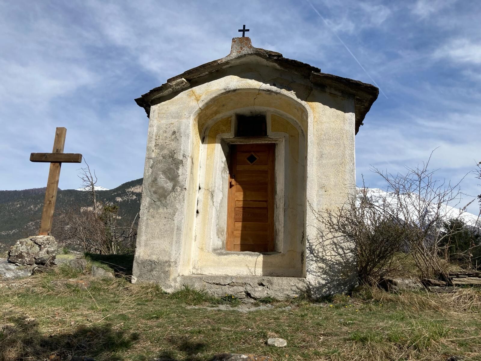
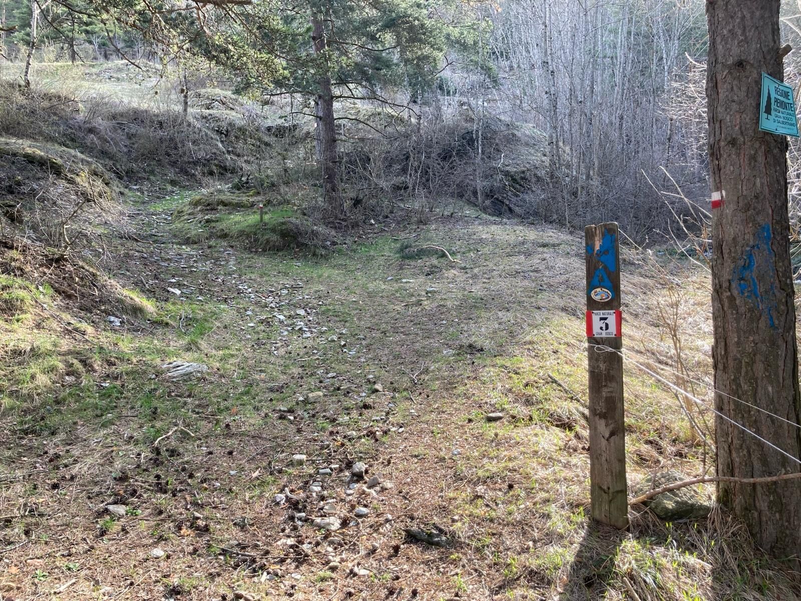
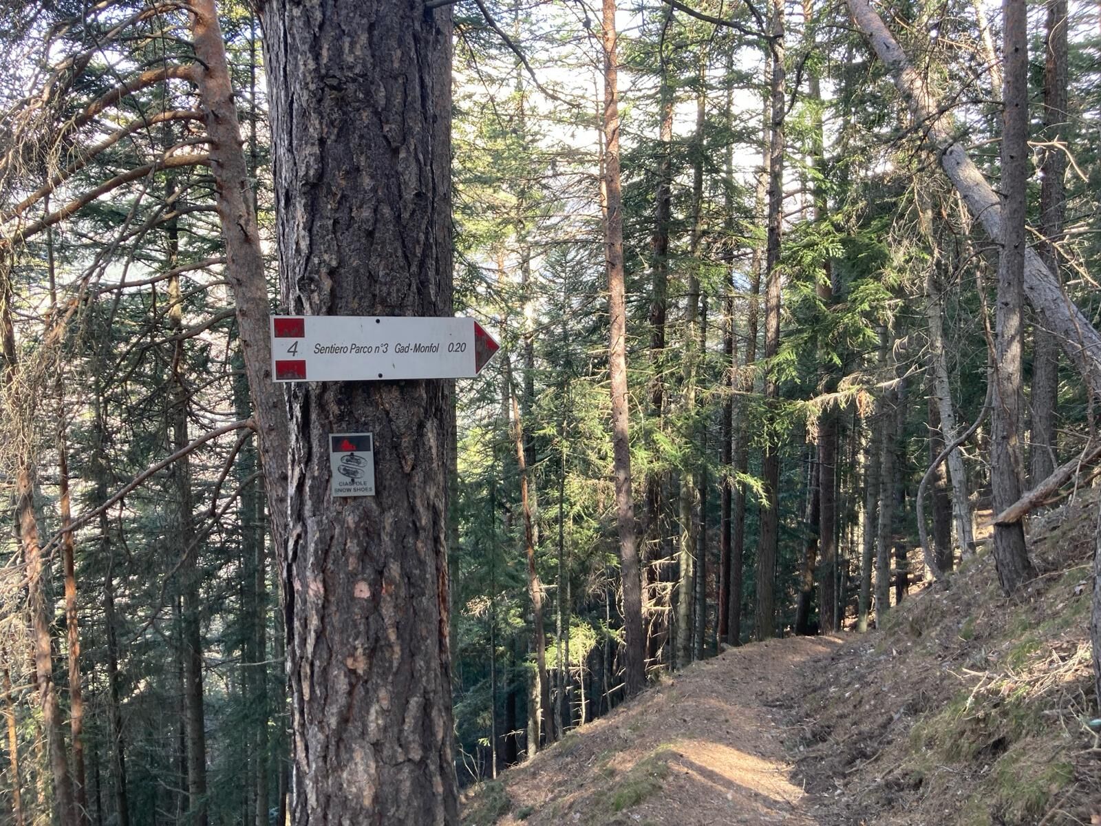
Path no. 3 of the Gran Bosco Park begins in a pine forest upstream from the village of Gad, a hamlet of Oulx located at an altitude of 1,060 metres (parking is available near the "Casetta del Gad" restaurant or at the "Le Baite" shopping centre). Going straight up for about 500 metres, ignoring the forks, you reach a crossroads in the pine forest at an altitude of about 1,130 metres, where path no. 3 begins, signposted for San Domenico and Monfol. After crossing a small bridge over the Rio Gran Comba and shortly after a tiny stream, after a few hairpin bends you reach the small chapel of San Domenico at an altitude of 1,290 metres. The path continues up steep slopes, and after several hairpin bends, at an altitude of around 1,510 metres it crosses path no. 4, which comes from Gran Villar; continue on path no. 3 until Monfol at an altitude of 1,670 metres.
In this first part: difficulty E / approx. 2.300 km / difference in altitude + 530 / time h. 1.30 - altitude beginning at 1,130 m - altitude end at 1,666 m (starting from the centre of Gad you add a length of approx. 900 m and a positive difference in altitude of approx. 70 m)
From Monfol, take the mule track that starts on the west side (towards Sauze d'Oulx) at the edge of the village, near the chapel of San Bartolomeo at an altitude of 1,666 m; pass in front of a wooden fountain and after a steep climb, you will reach the junction on the right with path no. 1 towards Gran Villar, which you ignore, continuing straight uphill. Just above, the mule track forms a sharp bend to the left signposted fairly high up (be careful not to go straight on, the path gets lost); at the next fork, leave the mule track and take the path to the right, again signposted No. 3 towards Enfers and Ferro di Cavallo. After about 1.5 km from Monfol, at an altitude of 1,1920 m, the path crosses the road from Richardette and Enfers, and immediately begins to climb steeply again; at a clearing at about 2,050 m, the path bends to the left (be careful not to go straight on, the trail gets lost); continuing to climb, at about 2,170 m, you reach the "Ferro di Cavallo", a U-bend of the road towards Colle Blegier. From here, it is possible to eventually reach Lake Laune and the mountain pasture of the same name (there is a fountain), turning back briefly and walking downhill to the left along the Park path no. 4 indicated in the clearing just below the 'Ferro di Cavallo'.
In this second part: difficulty E / KM 2 approx. / height difference + 500 / TIME 1.30 - altitude beginning mt. 1,666 - altitude end mt. 2,170
Porter des vêtements et des chaussures adaptés à l'environnement et à la saison.
autoroute A32 Torino- Bardonecchia-Fréjus (environ 80 km) sortie Oulx Ovest
Depuis la France: Col de Montgenèvre ou Tunnel du Fréjus.
: TGV Paris - Oulx.
Pour plus d’informations sur les horaires des trains consulter www.oui.sncf
Par avion: Torino - Caselle est l’aéroport international le plus proche. Pour aller à Oulx on peut organiser des transferts privés ou utiliser les transports publics - le service bus entre l’aéroport et la gare de Torino Porta Nuova; train jusqu’à Oulx (ligne Torino/Bardonecchia). Consulter les sites web: www.trenitalia.com
Un parking est disponible à proximité du restaurant "Casetta del Gad", mais les places sont limitées, ou au centre commercial "Le Baite".
Avant toute excursion, il est conseillé de consulter les bulletins météorologiques ou de se renseigner auprès des offices de tourisme locaux. Il est conseillé de ne pas entreprendre une randonnée seul et de toujours s'informer de sa destination.
Ne jetez pas vos déchets dans la nature, mais descendez-les dans la vallée en ramassant les déchets laissés par d'autres.
Les temps de marche indiqués sont approximatifs et peuvent varier en fonction des conditions météorologiques et de vos propres capacités.
Fontaines dans le hameau de Gad et à Monfol
Parcours populaires à proximité
- 5,0
BARDONECCHIA Decauville
facileRandonnée7,29 km BARDONECCHIA Colle Sommeiller
moyenVTT25,4 km- 5,0
CESANA T.SE De Cesana à Fenils (n° 48)
facileRandonnée4,29 km - 5,0
BARDONECCHIA Col des Acles - Passo della Mulattiera
difficileRandonnée6,57 km SESTRIERE Assietta Road
moyenVTT43,3 kmBARDONECCHIA Boucle Punta Colomion - Passo della Mulattiera - Pian del Colle
difficileVTT25,1 kmLa Via dei Saraceni (Sauze d'Oulx)
moyenVTT33,6 kmBARDONECCHIA Boucle Punta Colomion - Puys - Beaulard
moyenVTT24,7 kmBARDONECCHIA Boucle Decauville - Rifugio Scarfiotti
facileVTT34,0 kmCESANA T.SE Thures - Cima Bosco (n° 35)
moyenRandonnée10,6 km
Randonnée et suivi


Ne manquez pas les offres et l'inspiration pour vos prochaines vacances
Votre adresse électronique a été ajouté à la liste de diffusion.