


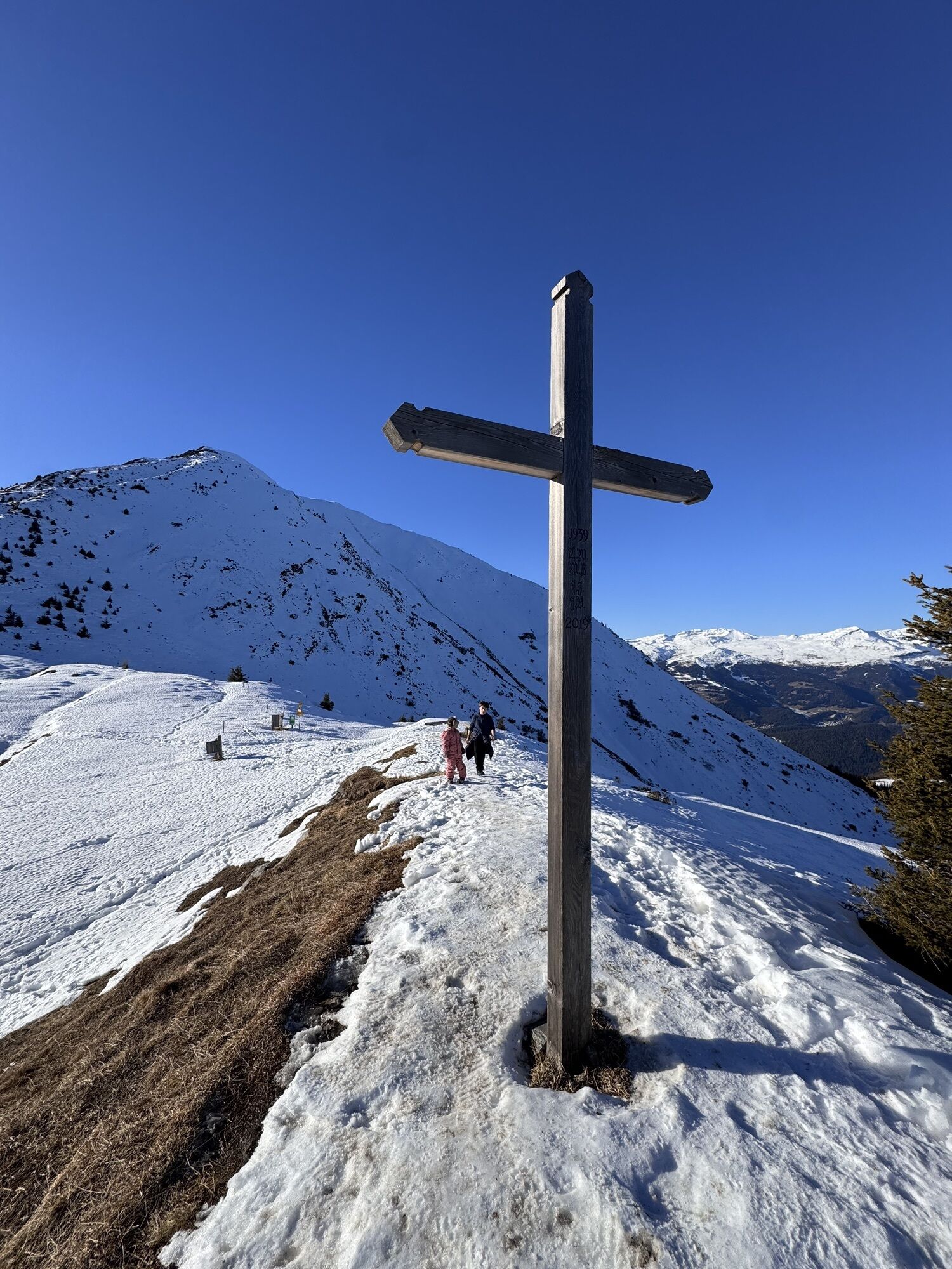
Tenner Chrüz in the front Safiental valley
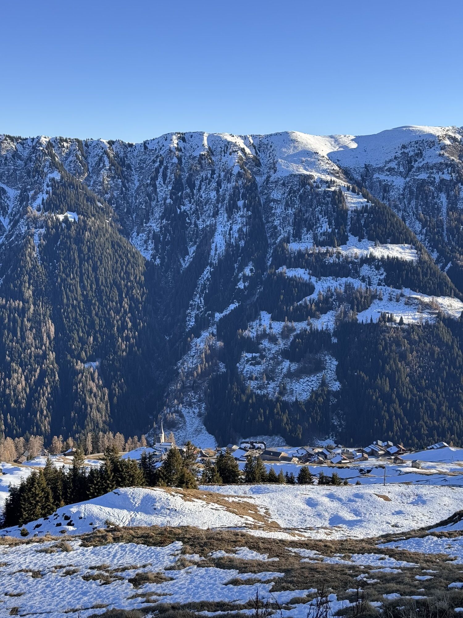
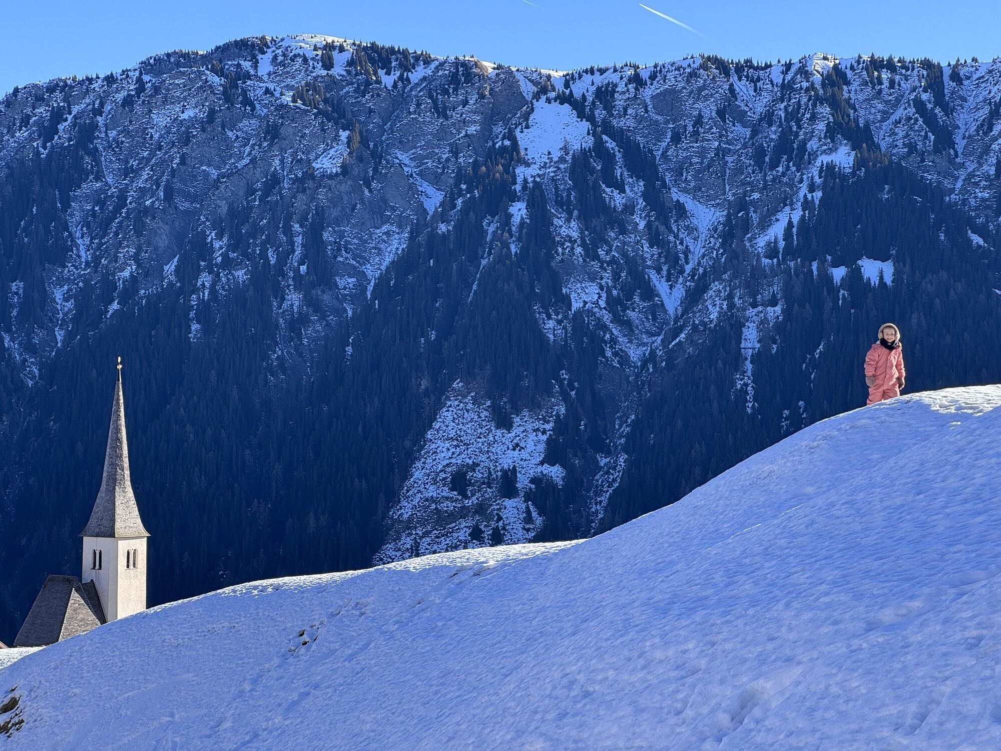
From the post bus stop Tenna, Post you walk in the direction of the Reformed Church. The route begins opposite the 16th century church and leads past old stables and barns up to the Tenner Alp. As you...
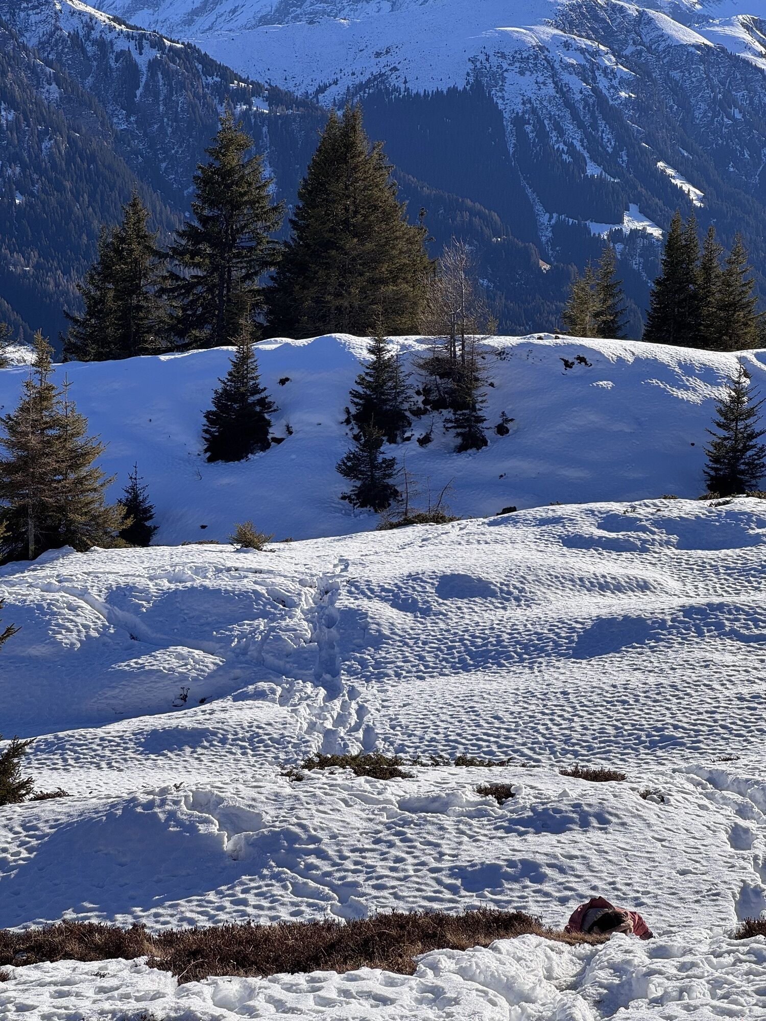
As we are at the tree line, the wildlife is not far away. Stay on the route described and, above all, do not enter any other parts of the forest. The abundant black grouse and hoofed game will be grateful to you.


Tenna church - Tenner Alp - Tenner Chrüz - Tenna Ausserberg
See under Safety instructions
We recommend using the WhiteRisk app and website to prepare and plan your tour.
For carefree enjoyment, we recommend our mountain guides and snowshoe hiking guides in the Surselva.
www.respektiere-deine-grenzen.ch
Winter is a wonderful time for us humans! Landscapes covered in deep snow, clear, pure air and a warm, cozy home waiting for you in the evening after a snowshoe tour. But for our wildlife, such as roe deer, stags and gemsboks, winter is a tough time! Every disturbance by us humans, every escape, is torture for these animals and drains their reserves. Stay on the published route! This will protect the wildlife and quiet zones.
Anreise von Chur:Auf der A13 Richtung Thusis, Ausfahrt Bonaduz. Von Bonaduz nach Versam und in Richtung Safientla, bis Tenna fahren.
Mit dem Zug nach Versam-Safien Bahnhof fahren. Anschliessend mit dem Postauto über Versam Dorf nach Tenna, Post fahren. Meistens mit Umstieg bei Abzweigung Tenna.
Wenige Parkplätze bei der Kirche. Weitere Parkplätze ca. 100 m weiter beim Werkhof. Die Parkplätze beim Skilift sind für den Skibetrieb reserviert.
Mehr Schneeschuhtouren in der Surselva
A well-earned break at the Hotel Alpenblick, the piste restaurant at the solar ski lift or the Café Tenna Hospiz.
Parcours populaires à proximité
- 4,5
Randonnée des 4 lacs : Caumasee - Crestasee - gorge Felsbach
moyenRandonnée 12,8 km - 4,8
Gorge du Rhin : de Ilanz à Versam au cœur de la Gorge du Rhin
moyenRandonnée 11,4 km - 4,7
Randonnée dans la gorge du Rhin : Senda Ruinaulta (659)
facileRandonnée 9,39 km - 4,7
Le chemin d'eau : Trutg dil Flem 764
difficileChemin thématique 8,56 km - 5,0
Caumasee tour: Flims - Caumasee - Conn - Flims
facileRandonnée 7,94 km - 4,7
Randonnée en montagne jusqu'aux marmites de géant de l'alpage Mora : Bargis-Trin
difficileRandonnée 18 km - 4,3
Randonnée en boucle : Falera-Curnius-Alp Dadens-Falera
moyenRandonnée 11,4 km - 5,0
Randonnée circulaire : lac de Cauma - gorge du Rhin "Swiss Grand Canyon"
moyenRandonnée 19,8 km Piz Fess 2880m, der Stolze
difficileRandonnée 12,8 km- 5,0
Randonnée circulaire gorge du Rhin
moyenRandonnée 11,4 km

Randonnée et suivi


Ne manquez pas les offres et l'inspiration pour vos prochaines vacances
Votre adresse électronique a été ajouté à la liste de diffusion.