


Lumnezia Val da Mulin


The sun-drenched slopes in Val Lumnezia are ideal for the first bike tours in spring. You only have to reckon with a little snow in a few places. The start is in Vella, the main town in Lumnezia. Unfortunately,...
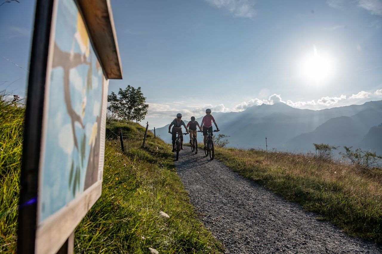
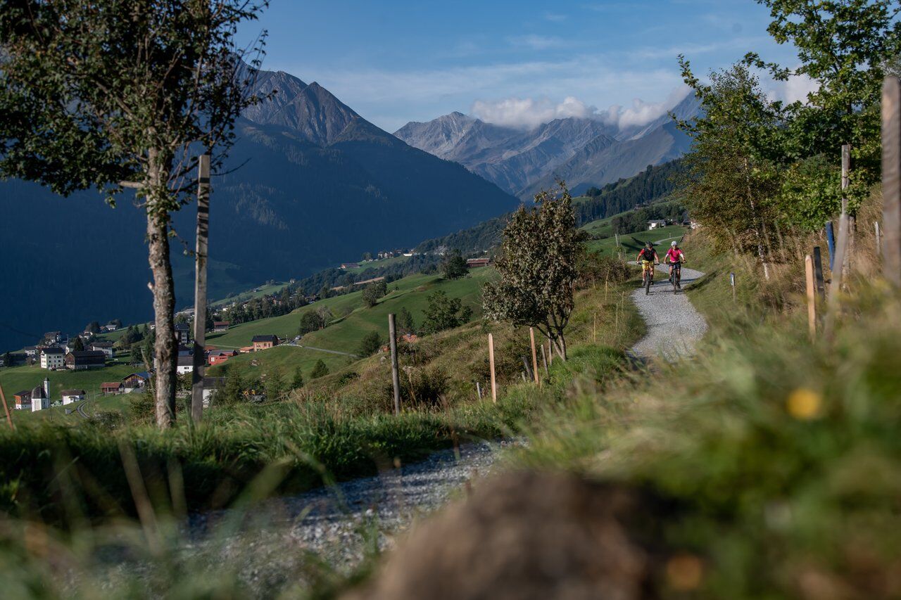
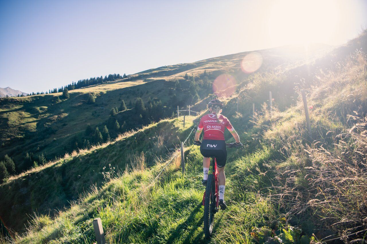
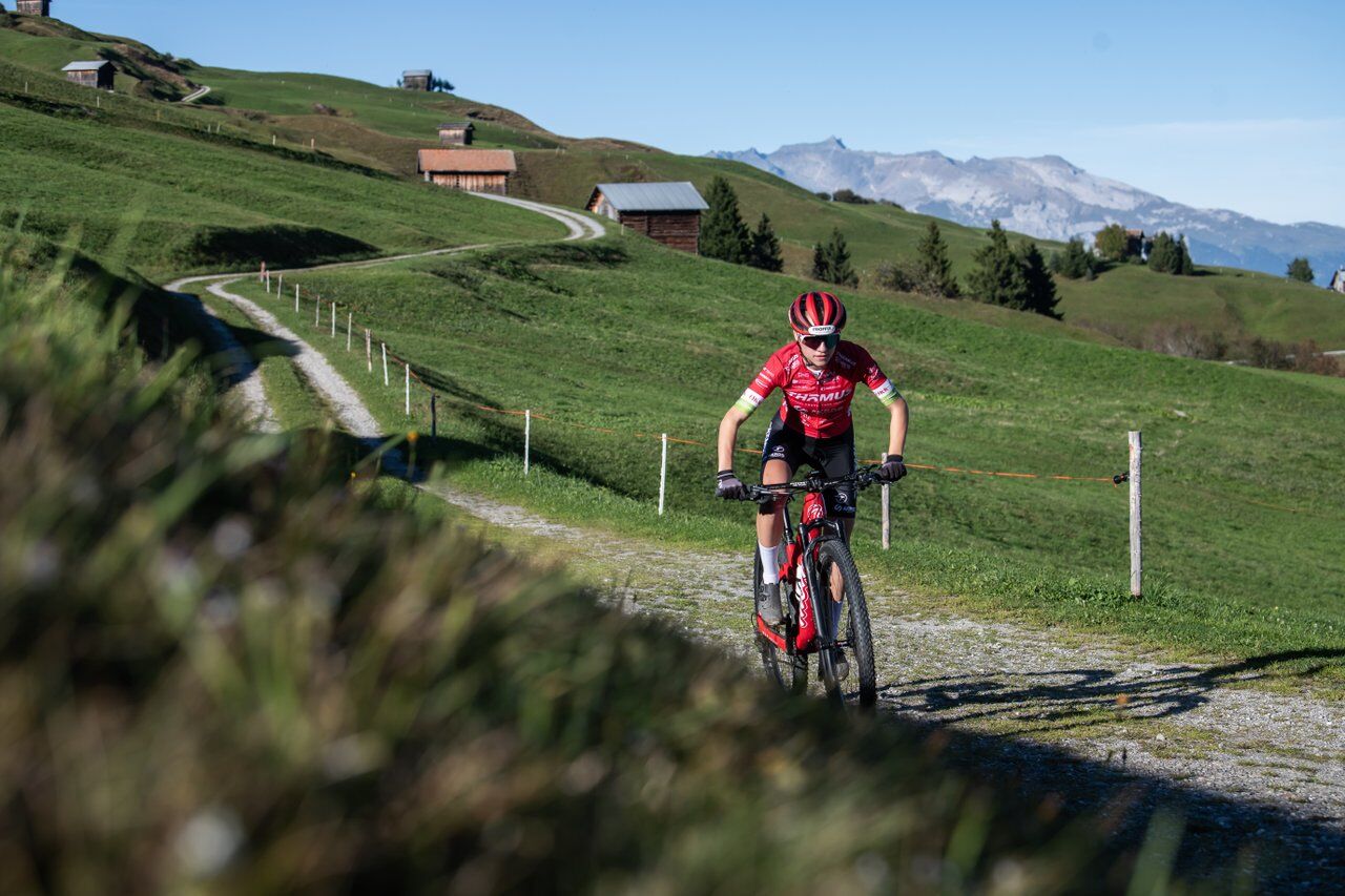
The sun-drenched slopes in Val Lumnezia are ideal for the first bike tours in spring. You only have to reckon with a little snow in a few places. The start is in Vella, the main town in Lumnezia. Unfortunately, there is no riding in on this tour. The mountains are merciless right from the start. But with the right attitude or, of course, an e-bike, you can get uphill quickly. After around 250 meters in altitude, a change of scenery becomes apparent. The roads sometimes become flat or have short descents. Until you reach the most challenging trail in Parmischiras. The cool single trail is horizontal, but also has short ramps and is still easy to ride. This is followed by descents on gravel roads, beautiful single trails - e.g. through the Val da Mulin - until the route leads to the Davos Munts bathing lake. Now it's time to recharge your battery and stomach and enjoy the last few meters on a well-maintained trail to Vella.

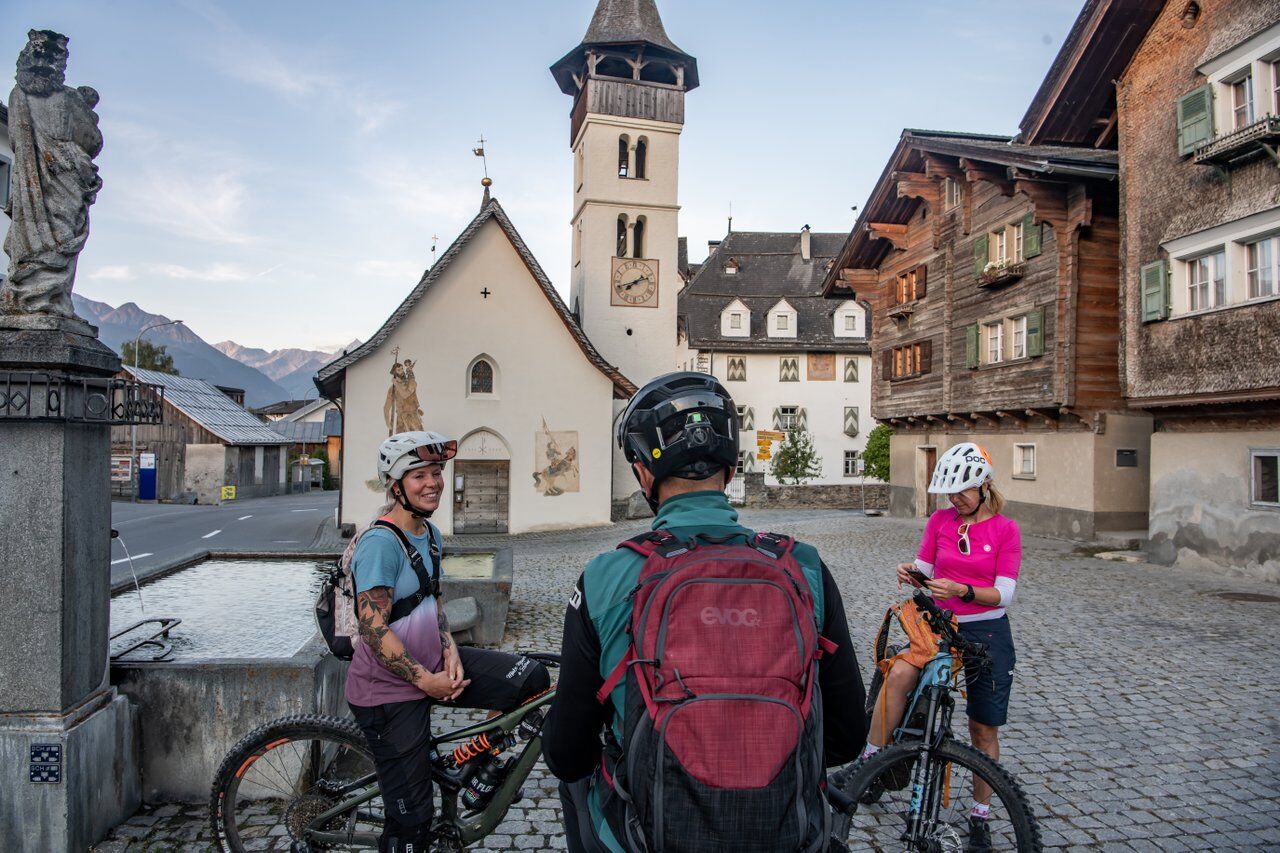
Vella-Pastiras-Parmischiras-Uaul da Fiugs-Sogn Gion-Val da Mulin-Davos Munts-Vella
Well-equipped bike, helmet, bike gloves, goggles, pharmacy, drink and sufficient food and drink
Please consider the other trail users. There are a lot of people in the area around the lake in the high season.
The tour should not be undertaken in uncertain weather conditions. Weather changes are frequent in the mountains. If a rain front or similar is approaching during the hike, you should turn back in good time.
144 Emergency call, first aid
1414 Mountain rescue REGA
112 International emergency call
From Ilanz in the direction of Vella/Vrin and to the center of Vella.
From the Grisons cantonal capital of Chur, the Rhaetian Railway takes just 36 minutes through the spectacular Rhine Gorge to Ilanz station. Then take the Postbus line 90.441 Ilanz - Vrin to the Vella Posta stop
There are various parking options in the center of Vella
Recharge your e-bike in: Vella, Davos Munts bathing lake or with a short detour to Lumbrein.
Parcours populaires à proximité
Piz Fess 2880m, der Stolze
difficileRandonnée12,8 km- 4,8
Gorges du Rhin : d'Ilanz à Versam au cœur des gorges du Rhin
moyenRandonnée11,4 km - 5,0
High valley Val Frisal
moyenRandonnée11,3 km - 4,3
Round trip hike Falera - Curnius - Alp Dadens - Falera
moyenRandonnée11,4 km - 5,0
Randonnée Pont suspendu Val da Tersnaus
moyenRandonnée3,24 km - 3,3
Randonnée des 3 lacs
moyenRandonnée12,8 km - 5,0
2-Tages-Wanderung Greina Hochebene
moyenRandonnée14,9 km Panoramic hike between Piz Mundaun and Péz Sezner
moyenRandonnée6,75 km- 4,7
Dutjer Alp - Magnificent View
moyenRandonnée8,23 km - 5,0
Breil/Brigels - Val Frisal Rundwanderung
moyenRandonnée20,8 km
Randonnée et suivi


Ne manquez pas les offres et l'inspiration pour vos prochaines vacances
Votre adresse électronique a été ajouté à la liste de diffusion.