


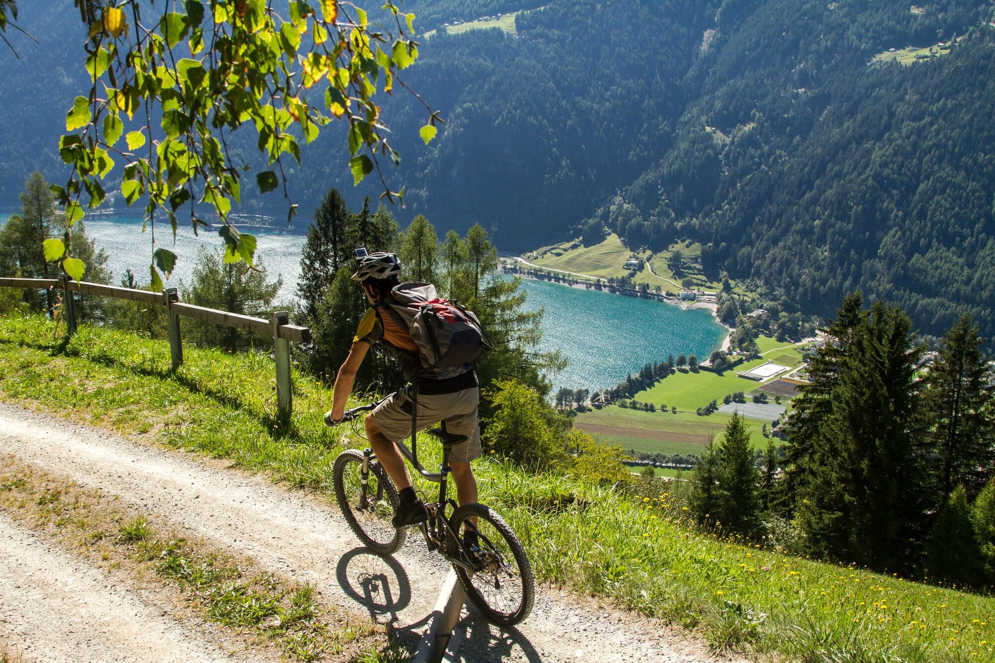
32.05 Poschiavo - Tirano, Trans Altarezia Bike


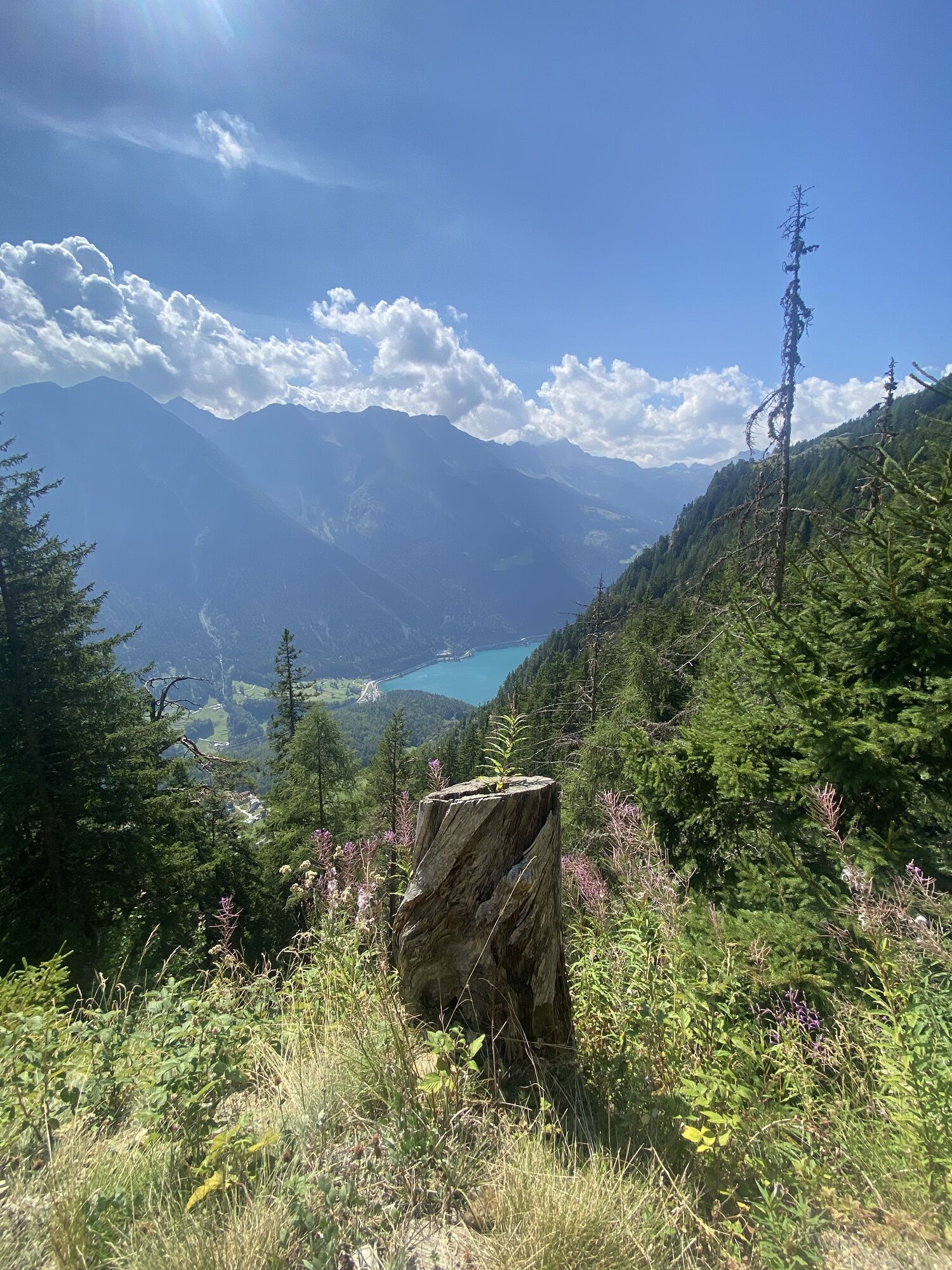
Along the «King's Stage» from northern Italy to the southern portal of the tunnel and over the pass. The mountain hike leads past the crystal-clear Palpuognasee lake, over Weissenstein Alp or Crap Alv...
Along the «King's Stage» from northern Italy to the southern portal of the tunnel and over the pass. The mountain hike leads past the crystal-clear Palpuognasee lake, over Weissenstein Alp or Crap Alv up to the Fuorcla Crap Alv (2466 m altitude) and steeply down into Val Bever to the idyllic stage destination of Spinas.

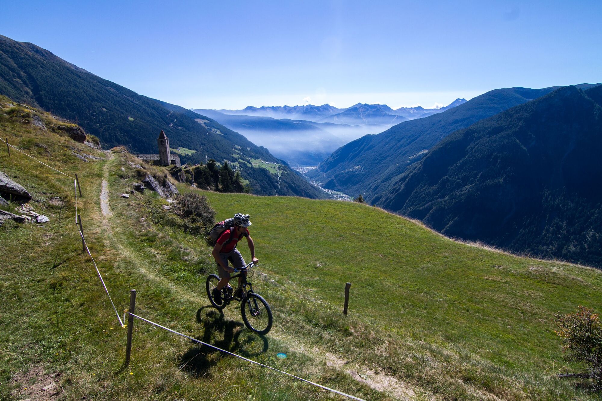


This route is only signposted in one direction: Poschiavo–Tirano
Ausweispapiere mitnehmen, da die Route grenzüberschreitend ist.
Valposchiavo Turismo
Vial da la Stazion 12
7742 Poschiavo
T. +41 81 839 00 60
Alpentaxi:
Balzarolo SA (Taxi)
7742 Poschiavo (GR)
+41 81 844 10 42 / +41 79 599 96 76
Carry identification as this is a cross-border route.
To shorten the section you can also pre-order a taxi (alpie taxi) from Poschiavo.
Snowfields possible into summer months on high-level sections
Parcours populaires à proximité
- 5,0
724 Val da Camp
difficileRandonnée15,0 km - 5,0
Ospizio Bernina Station - Alp Grüm (-Cavaglia)
facileRandonnée4,97 km - 5,0
53 Bernina Tour Schweiz : Étape 1 Poschiavo-Col de la Bernina
moyenRandonnée14,6 km 33.08 Ospizio Bernina - Cavaglia, Via Albula / Bernina
moyenRandonnée9,39 km53 Bernina Tour : Étape 1 Poschiavo-Col de la Bernina
moyenRandonnée14,6 km- 5,0
Ospizio Bernina - Cavaglia (Via Val da Pila)
Randonnée7,94 km - 5,0
Alp Grüm - Cavaglia (via Val da Pila)
Randonnée5,49 km - 4,0
Da Sfazù a lago Saoseo
facileRandonnée11,0 km Bergwanderung zum «See des Verrückten» - Kurz Version
Randonnée11,4 kmAlp Grüm - Cavaglia - Poschiavo
moyenRandonnée9,41 km

Randonnée et suivi


Ne manquez pas les offres et l'inspiration pour vos prochaines vacances
Votre adresse électronique a été ajouté à la liste de diffusion.