


Enduro: Arosa - Medergen - Arosa


A perfect tour for a half-day trip. A rapid descent to Litzirüti, then turn right at Sonnenrüti and follow the road to Medergen, a small and cosy mountain village with a fantastic view across the Grisons...
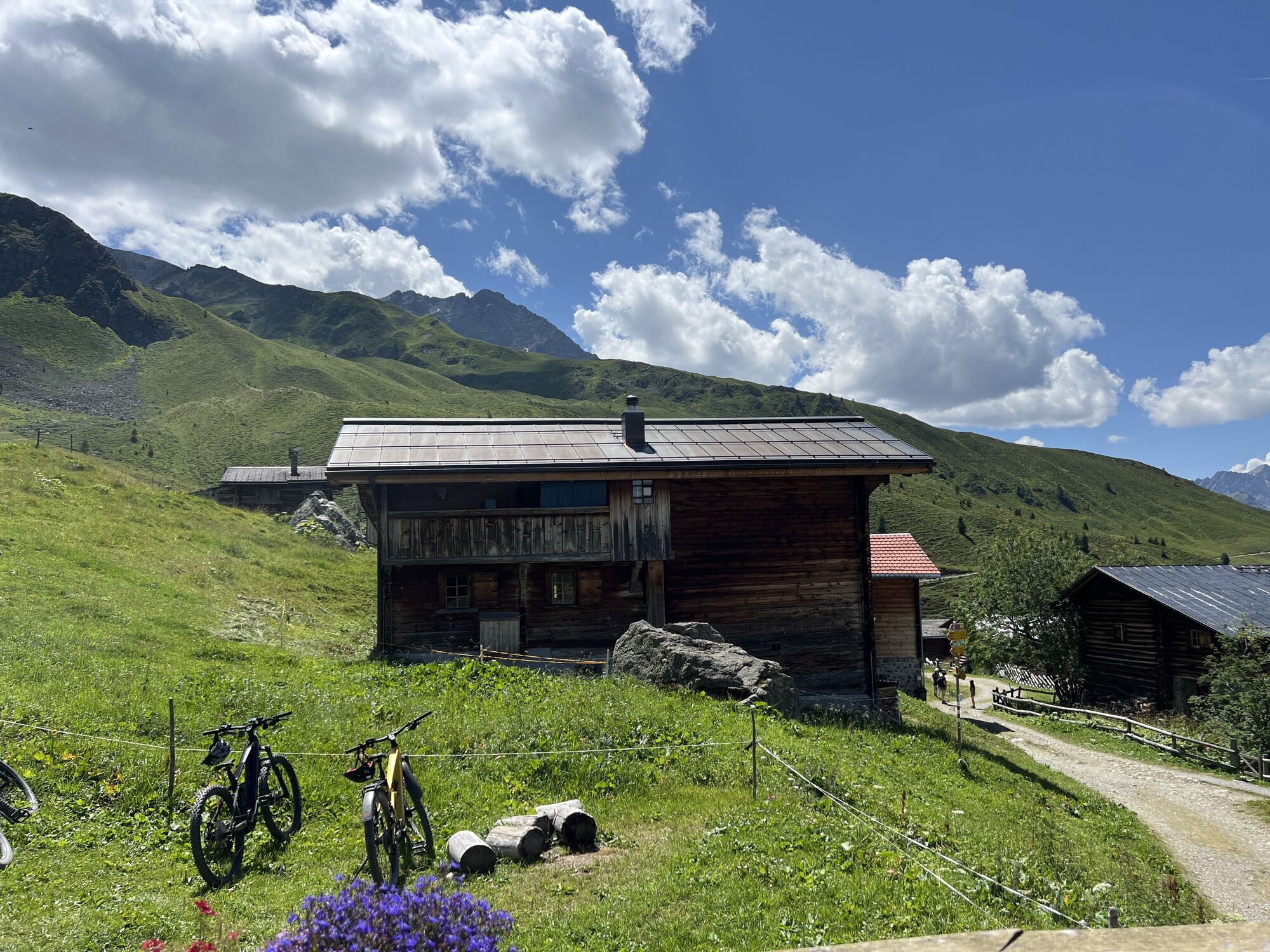
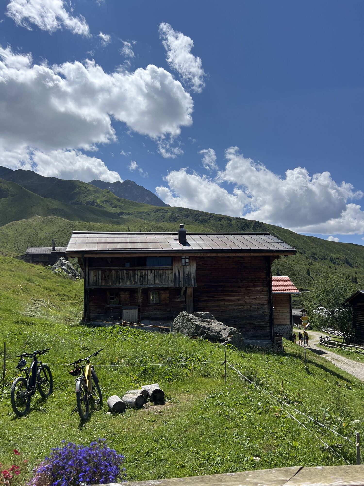
A perfect tour for a half-day trip. A rapid descent to Litzirüti, then turn right at Sonnenrüti and follow the road to Medergen, a small and cosy mountain village with a fantastic view across the Grisons mountains. The small restaurant is a great spot for a short break. The following descent to the reservoir lake is technically demanding. Less advanced bikers are better off returning on the same trail as before. The track leads across roots and big stones with some steep passages to the Isel and then back to Arosa.


A perfect tour for a half-day trip. A rapid descent to Litzirüti, then turn right at Sonnenrüti and follow the road to Medergen, a small and cosy mountain village with a fantastic view across the Grisons mountains. The small restaurant is a great spot for a short break. The following descent to the reservoir lake is technically demanding. Less advanced bikers are better off returning on the same trail as before. The track leads across roots and big stones with some steep passages to the Isel and then back to Arosa.
Allmountain, Enduro
As of Chur it takes about 40 minutes to climb the curvy street all the way up to Arosa. The Schanfigg road leads across the valley and during the 30km ascent and 360 turns it overcomes 1,320 metres of altitude.
Slowly, a bit like a tramway, the Arosa-train cruises through Chur, passing the city walls, the Malteser tower and the Obertor (gate), the landmark of Grisons capital. But soon the stroll on tracks across the city ends. At the city boarder the tramway changes into a mountain railway and climbs through the wild Schanfigg valley all the way up to the well-known holiday destination Arosa. On only 26km of length the trains ascents over one thousand altitude metres.
The car park Ochsenbühl is located right next to the starting point. The parking fee totals CHF 6.00 for a whole day.
Bike stop at the Restaurant Alpenrösli in Medergen.
Parcours populaires à proximité
Alp Sanaspans - Rothorn
difficileRandonnée13,6 kmParsenn
moyenFaire du ski39,7 km- 5,0
Arosa-Hörnli-Urdenfürrgli-Alp Scharmoin-Lenzerheide
moyenRandonnée15,3 km - 5,0
202 parcours en altitude Tgantieni
difficileRandonnées d'hiver12,3 km - 3,0
207 Mittelberg Parpan
moyenRandonnées d'hiver7,07 km Rundtour Lenzerheide
moyenRandonnée14,9 km521 Era Vedra
moyenRaquettes2,82 km201 Parcours Heidsee
facileRandonnées d'hiver5,49 km- 4,5
Davos Jackobshorn - Jatzihorn - Sertig Dörfli, Schweiz
moyenRandonnée8,29 km Alp Sanaspans - Lenzerhorn
difficileRandonnée6,28 km
Randonnée et suivi


Ne manquez pas les offres et l'inspiration pour vos prochaines vacances
Votre adresse électronique a été ajouté à la liste de diffusion.