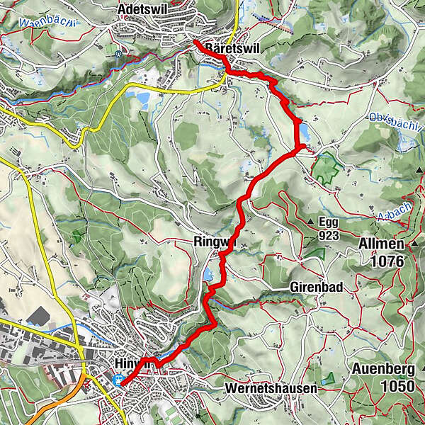
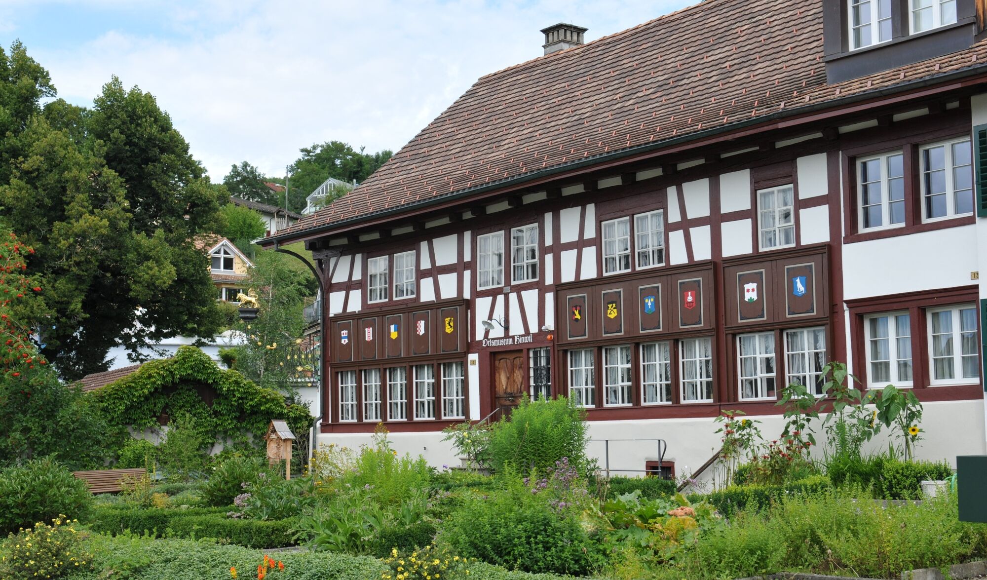
Hinwil – Bäretswil: «Kulturhistorisches Zürcher Oberland»

Randonnée


- Brève description
-
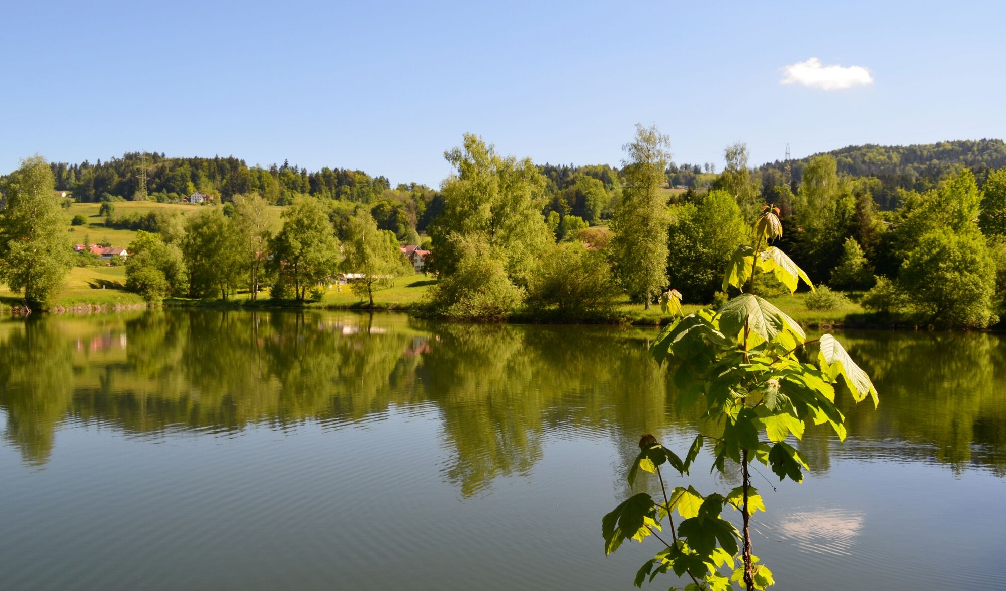
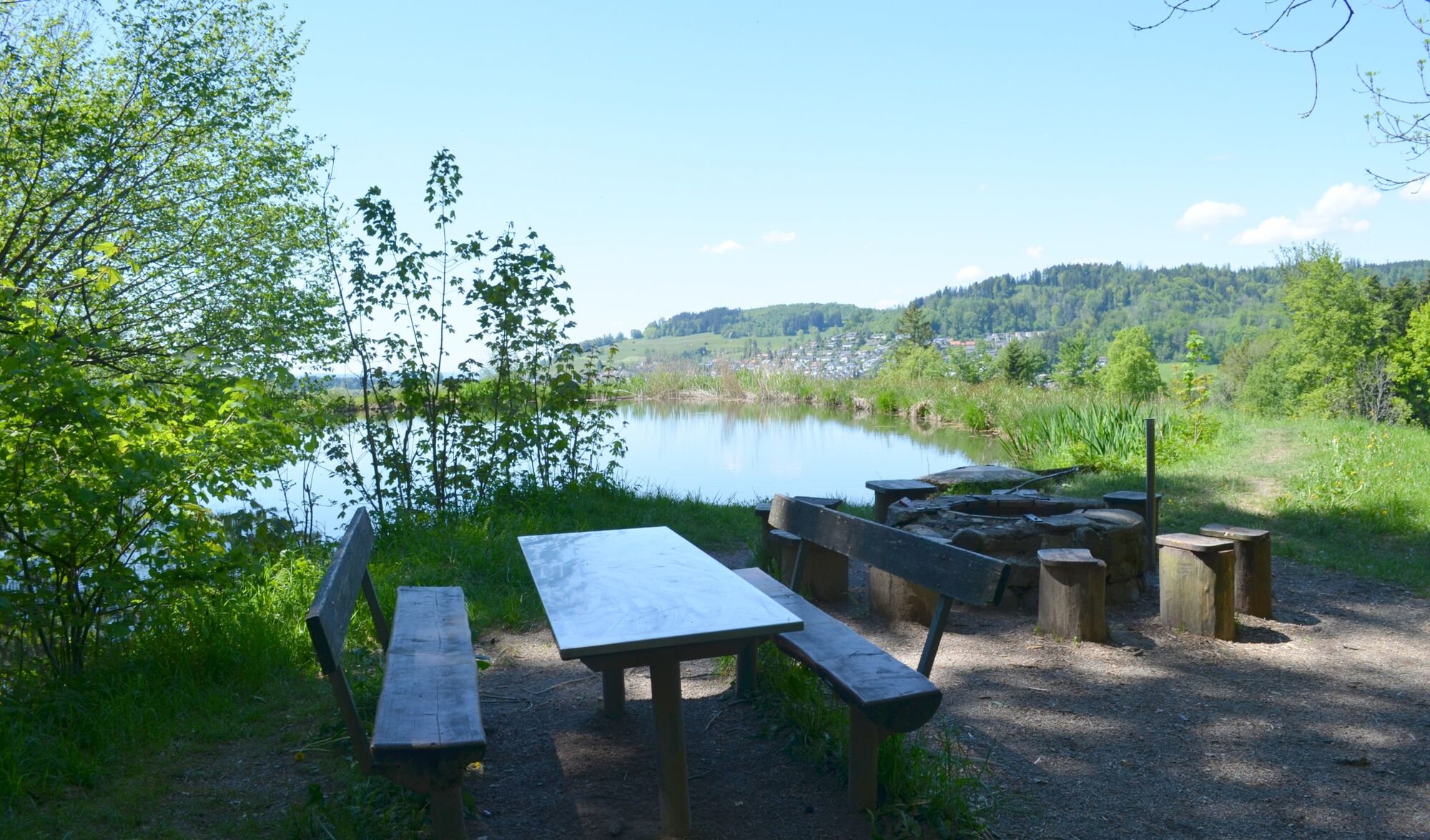
Eine Wanderung durch wilde Tobel und entlang alter Kulturgüter.
- Difficulté
-
facile
- Évaluation
-
- Parcours
-
Hinwil0,3 kmChrischona-Gemeinde0,3 kmRingwilerbach-Wasserfall1,9 kmRingwil2,6 kmNübruch3,1 kmTisenwaltsberg3,7 kmHaldengut5,6 kmRastplatz Hulliger5,9 kmOberdorf6,4 kmBäretswil (705 m)6,6 km
- Meilleure saison
-
janv.févr.marsavrilmaijuinjuil.aoûtsept.oct.nov.déc.
- Hauteur maximale
- 815 m
- Point de mire
-
Bäretswil, Oberdorf
- Profil en hauteur
-
 © outdooractive.com
-

-
AuteurLa randonnée Hinwil – Bäretswil: «Kulturhistorisches Zürcher Oberland» est utilisé par outdooractive.com fourni par.
GPS Downloads


Informations générales
Culturel/Historiquement
Prometteur
Autres parcours dans les régions
-
Schwyz
1742
-
Zürcher Oberland
596
-
Bäretswil
209