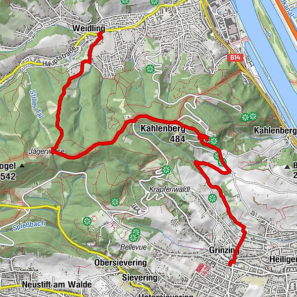
Weidling Kirchmayergasse (Regionalbus 401) - Kahlenberg - Grinzing

Randonnée
Dates des itinéraires
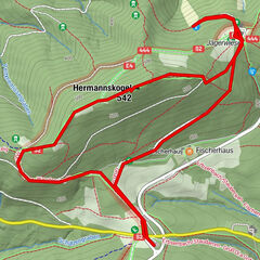
9,7km
194
- 485m
321hm
284hm
03:00h
- Brève description
-
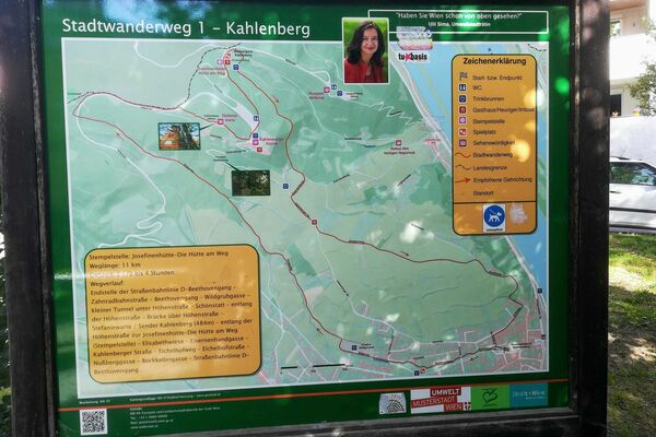
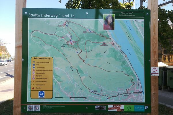
Von Weidling Kirchmayergasse (Regionalbus 401) über Jägerwiese und Sulzwiese auf den Kahlenberg, dann durch die Weinberge hinunter nach Grinzing.
- Difficulté
-
facile
- Évaluation
-
- Point de départ
-
Bushaltestelle Weidling Kirchmayergasse
- Parcours
-
KlosterneuburgWeidling0,2 kmGasthaus zum Agnesbrünnl2,5 kmVogelsangberg (516 m)3,3 kmHandleinsberg (495 m)3,7 kmKahlenberg (484 m)5,3 kmJosefsdorf5,6 kmSt. Josef5,6 kmWildgrube7,9 kmMukental8,2 kmSchmerbern8,8 kmGrinzing9,5 kmVienne (542 m)9,7 km
- Meilleure saison
-
janv.févr.marsavrilmaijuinjuil.aoûtsept.oct.nov.déc.
- Hauteur maximale
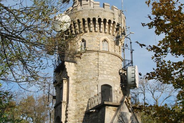
- Kahlenberg (485 m)
- Point de mire
-
Straßenbahn Linie 38, Station Grinzing
- Repos/Rassembler
-
Schönstatt Cafe Bistro, Kahlenberg Cafe
GPS Downloads


Autres parcours dans les régions
-
Wienerwald
4219
-
Wien und Umgebung
2481
-
Klosterneuburg
1039