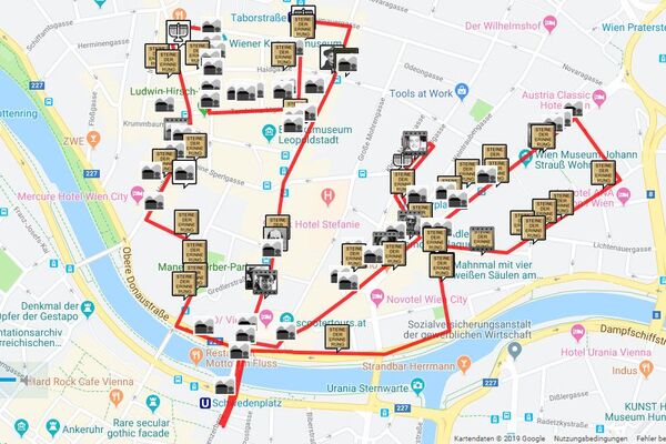
Dates des itinéraires
22,1km
164
- 521m
659hm
594hm
04:40h
- Brève description
-
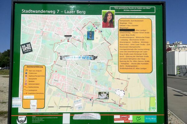
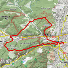
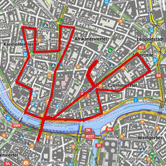
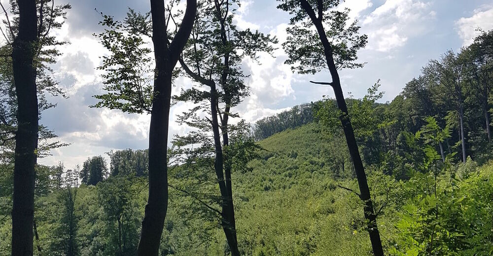
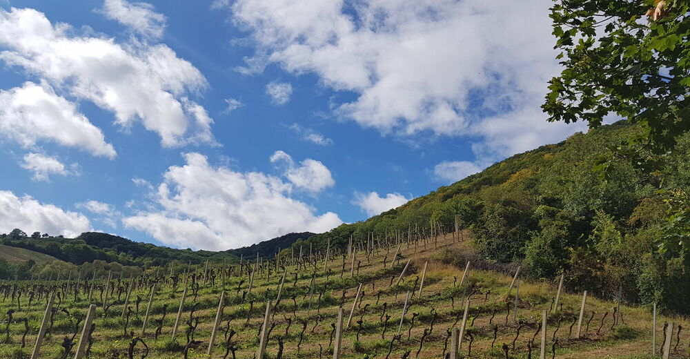
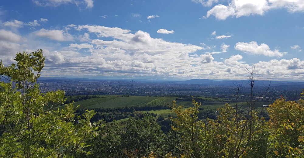
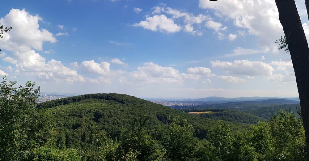
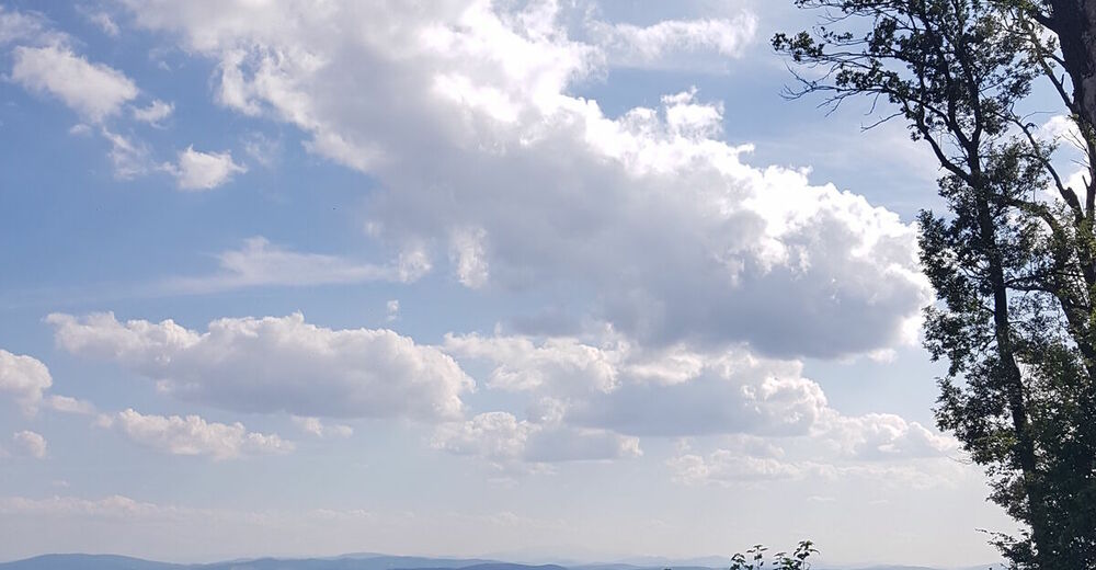
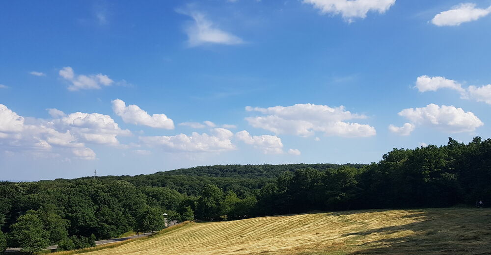
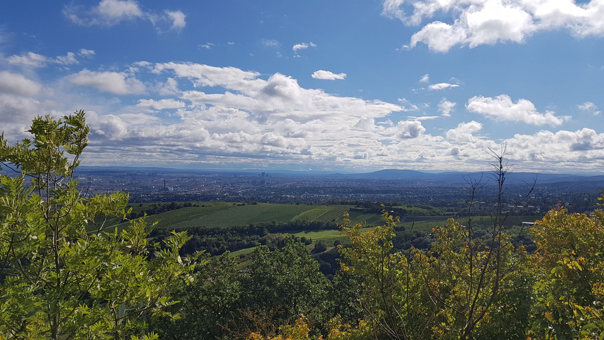
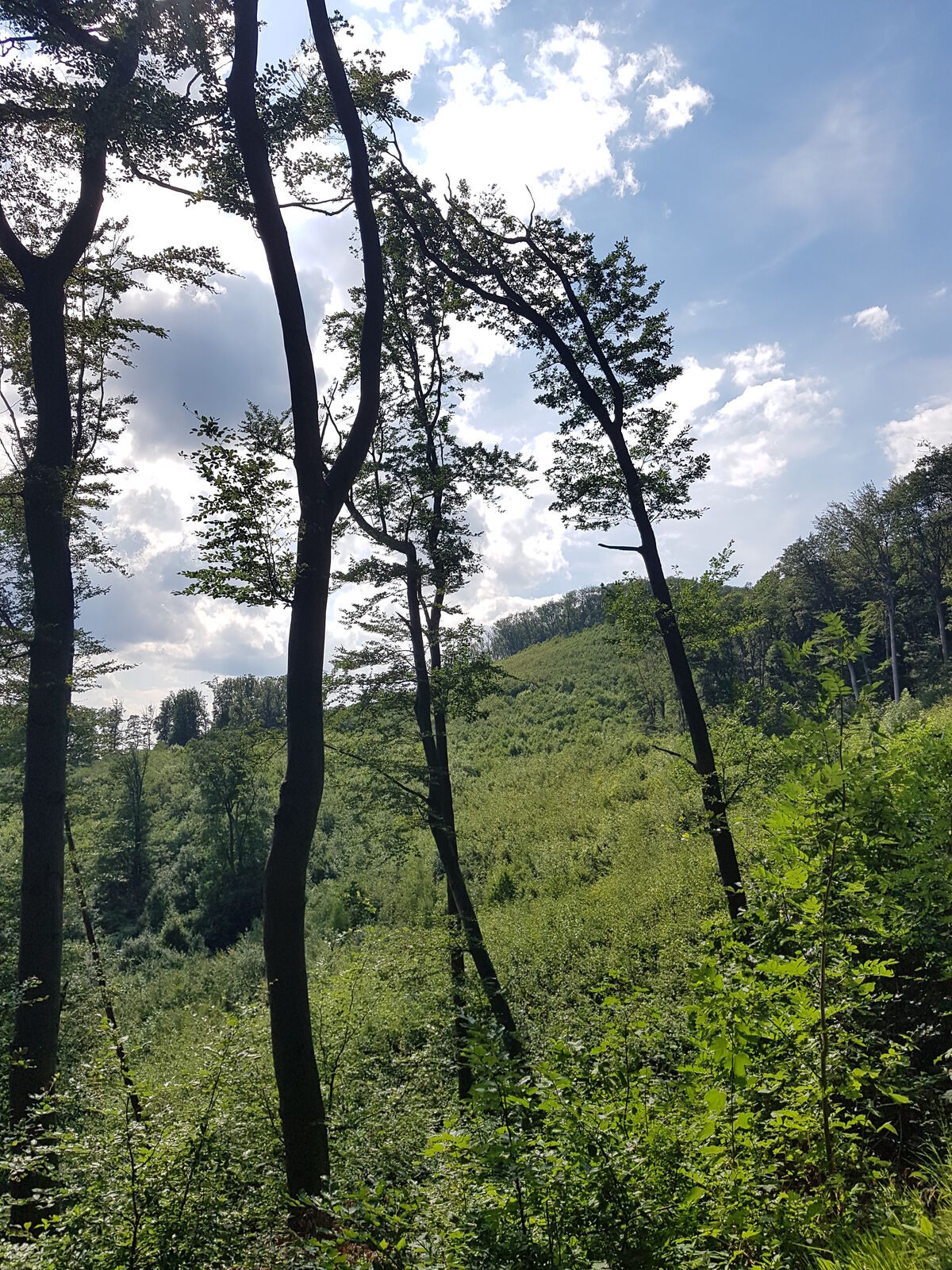
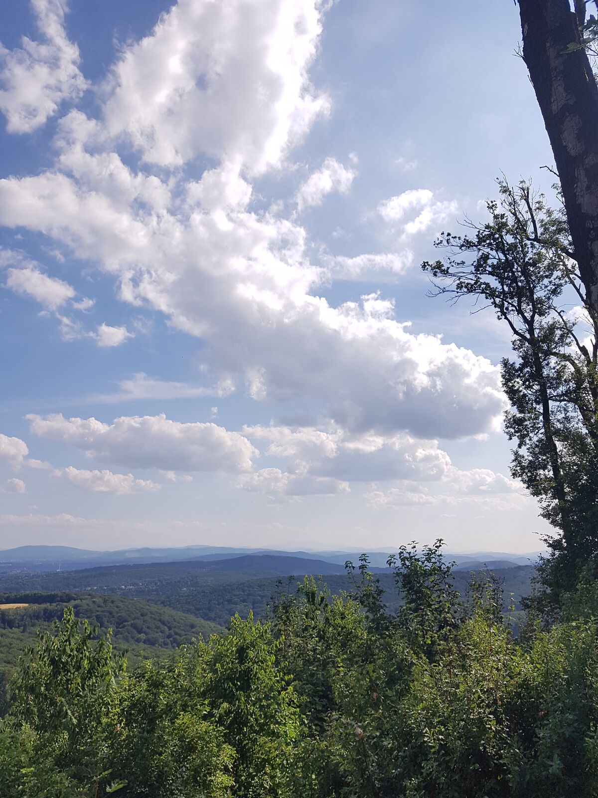
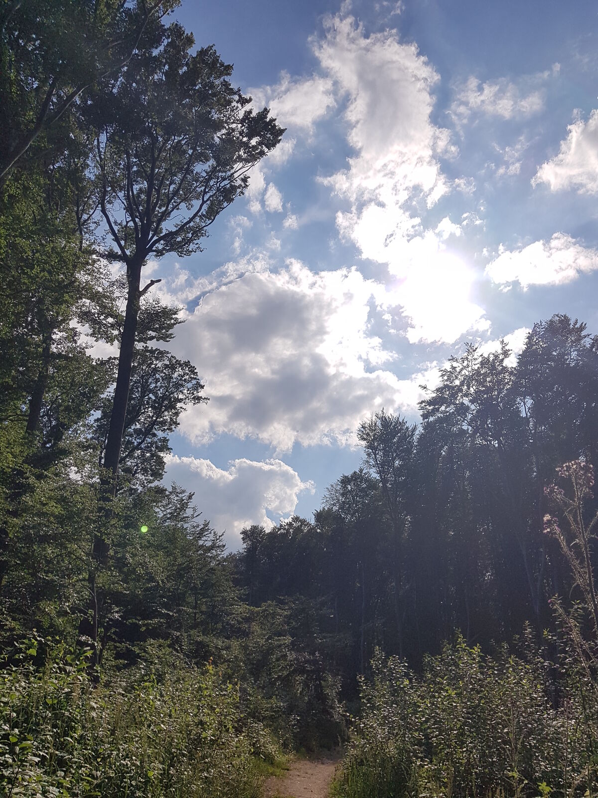
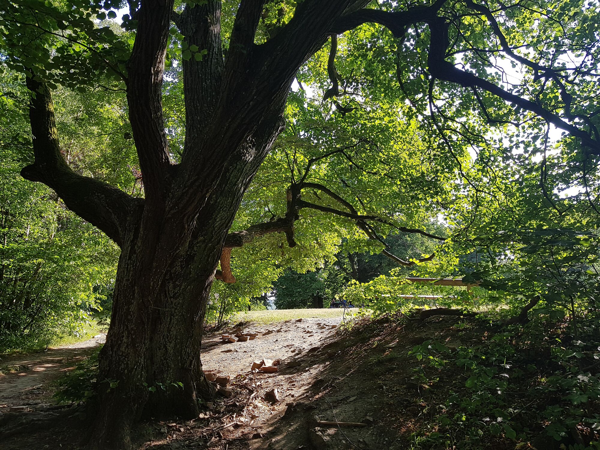
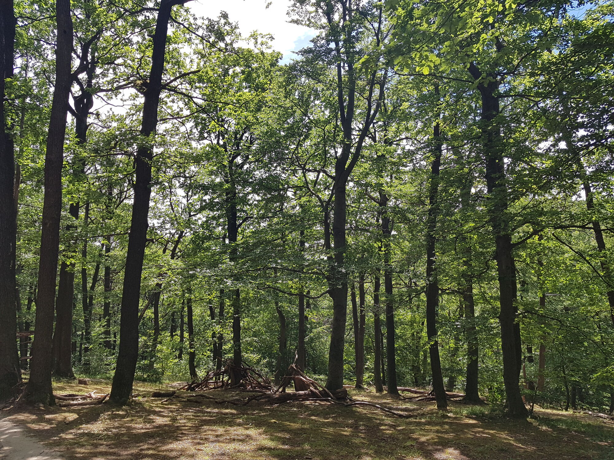
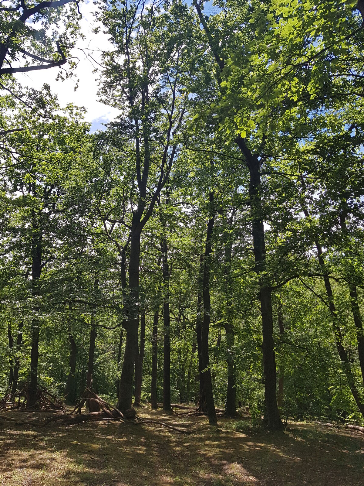
Partial encircling of Vienna in the Vienna woods from the Danube to the river Wien, with easy access
- Difficulté
-
facile
- Évaluation
-
- Point de départ
-
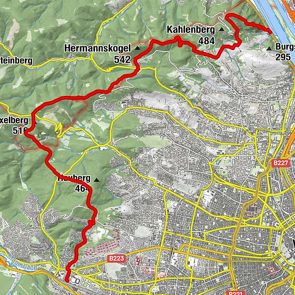
Kahlenbegerdorf
- Parcours
-
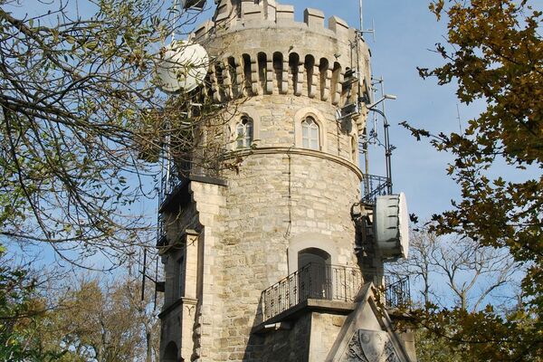
Kahlenbergerdorf0,0 kmSt. Leopold1,2 kmLeopoldsberg (425 m)1,4 kmHeimkehrer-Gedächtnismal1,4 kmJosefsdorf3,0 kmVienne (542 m)4,7 kmKreuzeiche6,4 kmVogelsangberg (516 m)7,0 kmGasthaus zum Agnesbrünnl7,7 kmGrüass Di a Gott Wirt9,0 kmZwei Gehängte10,5 kmZwei Gehängte (447 m)10,8 kmHameau (465 m)11,7 kmExelberg (516 m)13,7 kmDahaberg (507 m)14,1 kmSchottenhof16,5 kmKleines Schutzhaus Rosental20,3 kmHütteldorf21,5 km
- Meilleure saison
-
janv.févr.marsavrilmaijuinjuil.aoûtsept.oct.nov.déc.
- Hauteur maximale
- Vogelsangberg (521 m)
- Point de mire
-
Hütteldorf
- Repos/Rassembler
-
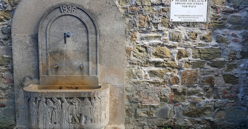
Kleines Wirtshaus Rosental towards the end, nested in between trees and a creek


- Source
- Karl Svozil
GPS Downloads


Nature du chemin
Asphalte
(10)
Gravier
(20)
Pelouse
(20)
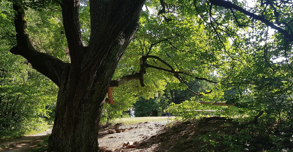
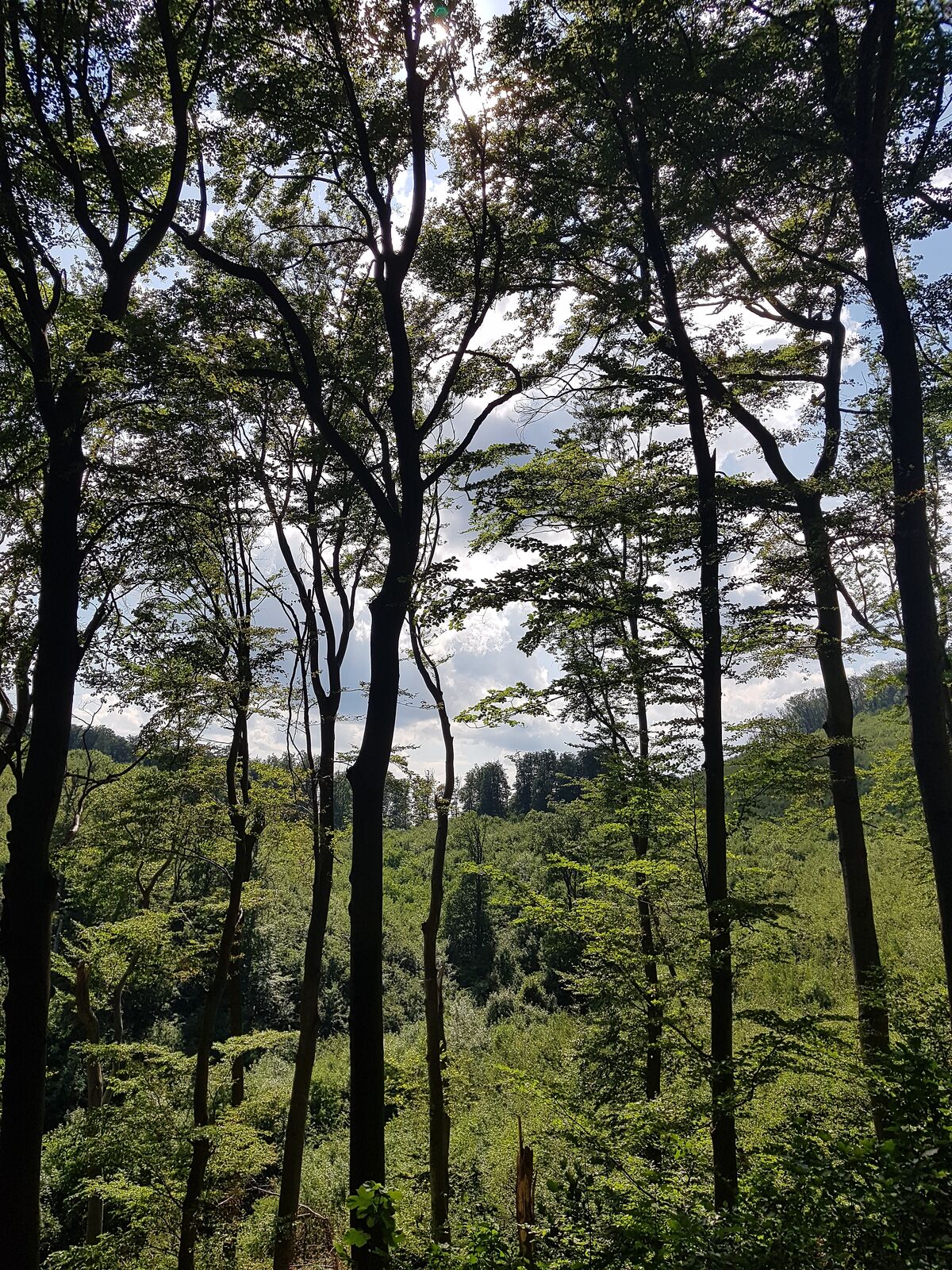
Forêt
(50)
Rocher
Exposé
Autres parcours dans les régions
-
Wienerwald
4219
-
Wien und Umgebung
2481
-
Klosterneuburg
1039