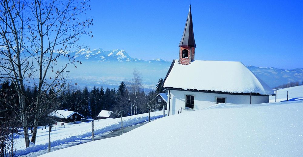
© Bodensee-Vorarlberg Tourismus GmbH - Helmut Tiefenthaler

- Brève description
-
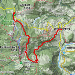
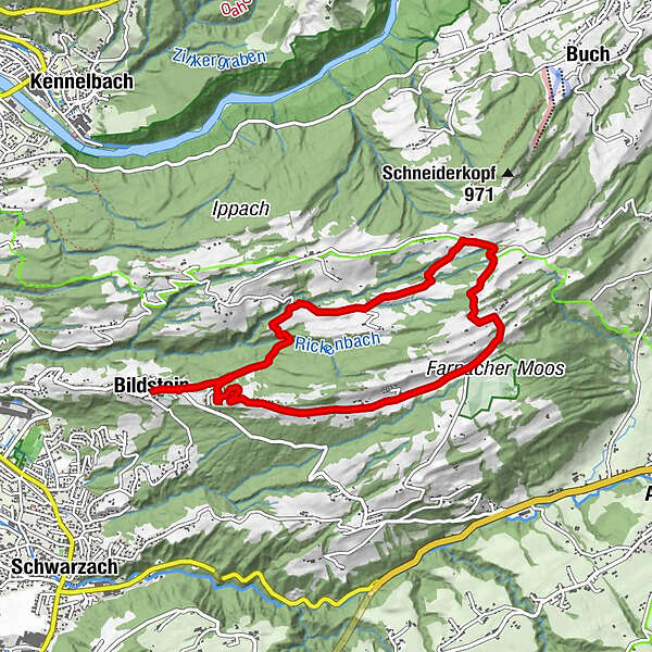
Bildstein village square (665m) – Kapf (815m) – Geisbirn (822m) – Farnach Moos (880m) – Oberbildstein (940m) – Schneider (900m) – Grub (750m) – Bildstein
- Difficulté
-
facile
- Évaluation
-
- Parcours
-
Wallfahrtskirche Maria BildsteinBildsteinGasthof Kreuz0,0 kmOchsen0,1 kmKnobel0,9 kmKnobel7,6 kmBildstein8,0 kmOchsen8,2 kmGasthof Kreuz8,2 kmWallfahrtskirche Maria Bildstein8,2 km
- Meilleure saison
-
aoûtsept.oct.nov.déc.janv.févr.marsavrilmaijuinjuil.
- Hauteur maximale
- 941 m
- Point de mire
-
Bildstein village square
- Profil en hauteur
-


- Auteur
-
La randonnée The Bildstein Winter Circuit est utilisé par outdooractive.com fourni par.
GPS Downloads


Informations générales
Point de rassemblement
Prometteur
Autres parcours dans les régions