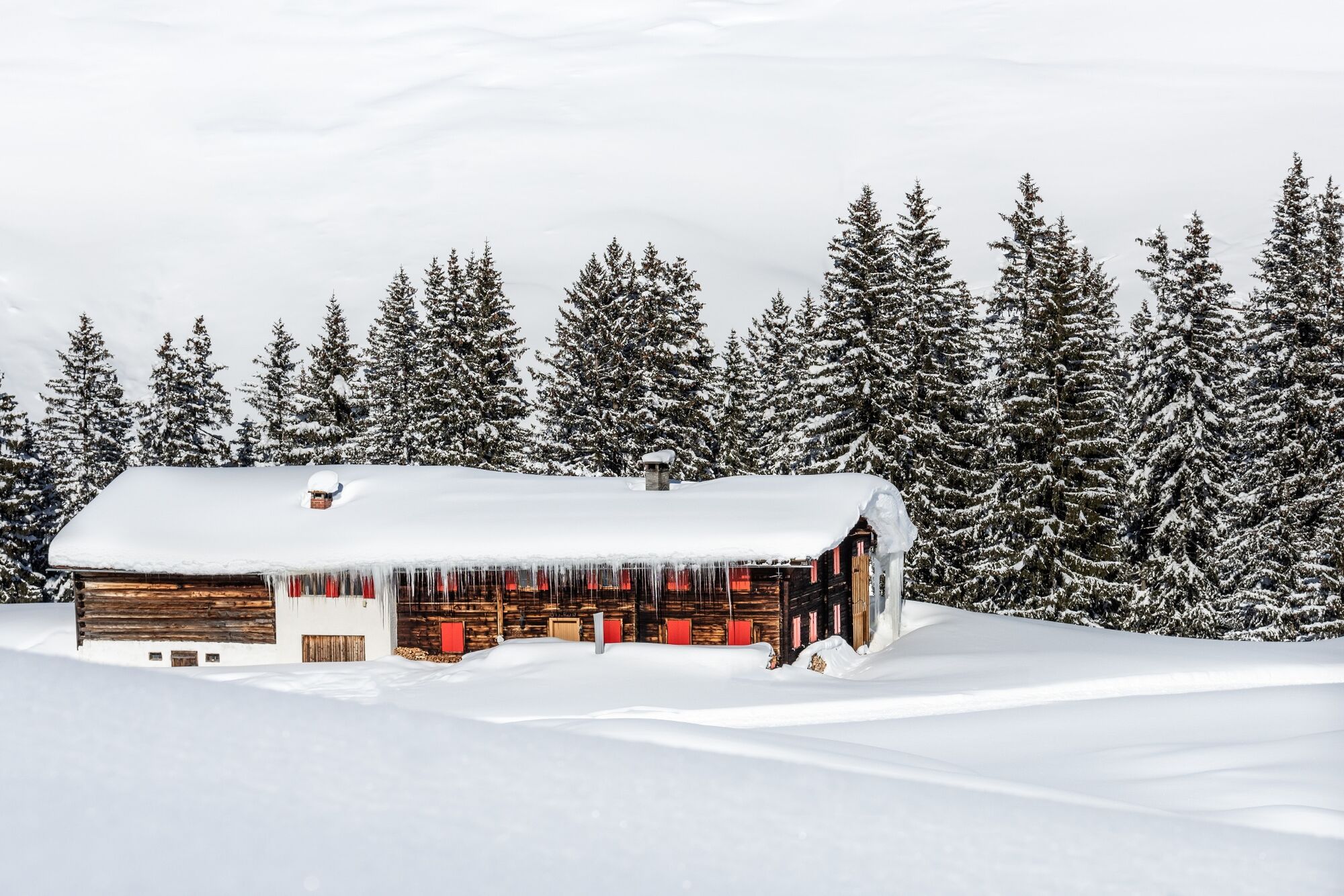
© Warth-Schröcken Tourismus - Ratko Fotografie und mehr

- Brève description
-
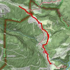
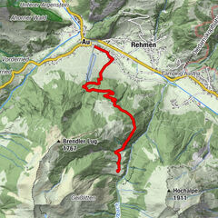
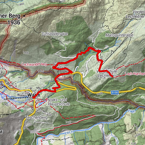
Start at the hiking starting point in Warth and walk down the main road towards Lechtal. At the end of the village, opposite the toboggan run, turn left into the winter hiking trail and follow it to the Walsersiedlung Gehren. From here, an asphalt path leads up to a barn. Please note that the path from here is no longer prepared and that you need snowshoes. With the snowshoes we continue through the forest to Lechleiten, where you can untie the snowshoes again. Further upwards there is also an asphalt road to the village of Lechleiten. Enjoy the beautiful view to Warth.
- Difficulté
-
facile
- Évaluation
-
- Parcours
-
Warth (1.495 m)0,0 kmGehren1,3 kmHl. Nikolaus1,6 kmSt. Wendelin3,1 kmLechleiten3,2 km
- Meilleure saison
-
aoûtsept.oct.nov.déc.janv.févr.marsavrilmaijuinjuil.
- Hauteur maximale
- 1.539 m
- Point de mire
-
Lechleiten
- Profil en hauteur
-

- Auteur
-
La randonnée Winter hike from Warth to Lechleiten est utilisé par outdooractive.com fourni par.
GPS Downloads


Informations générales
Secret
Prometteur
Autres parcours dans les régions