© Kleinwalsertal Tourismus - Kleinwalsertal Tourismus eGen

© Kleinwalsertal Tourismus eGen

© Kleinwalsertal Tourismus eGen

© Kleinwalsertal Tourismus eGen

© Kleinwalsertal Tourismus eGen

© Kleinwalsertal Tourismus eGen

© Kleinwalsertal Tourismus eGen

- Brève description
-
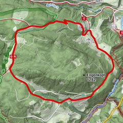
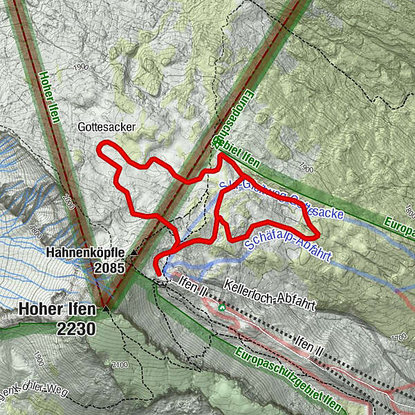
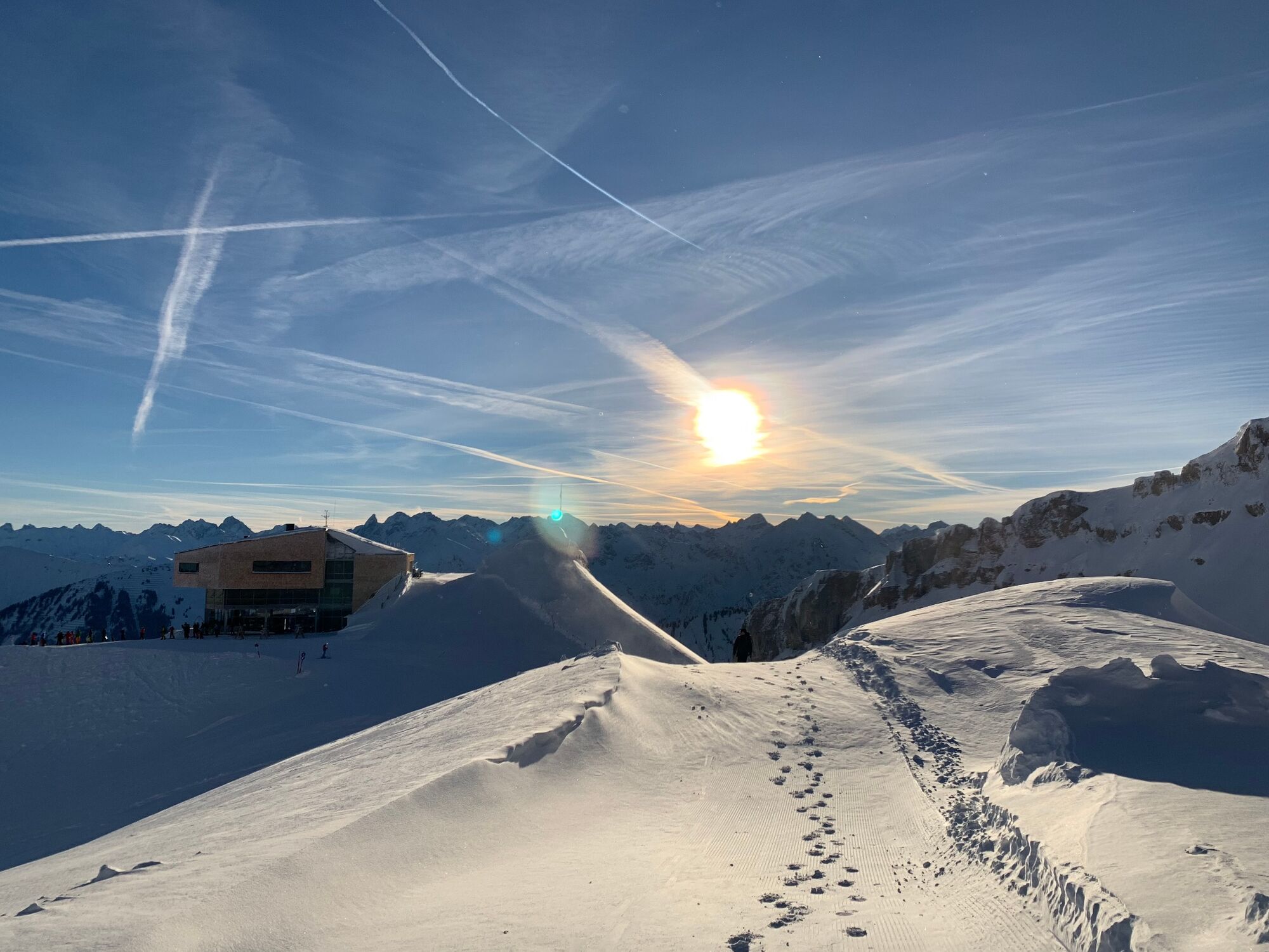
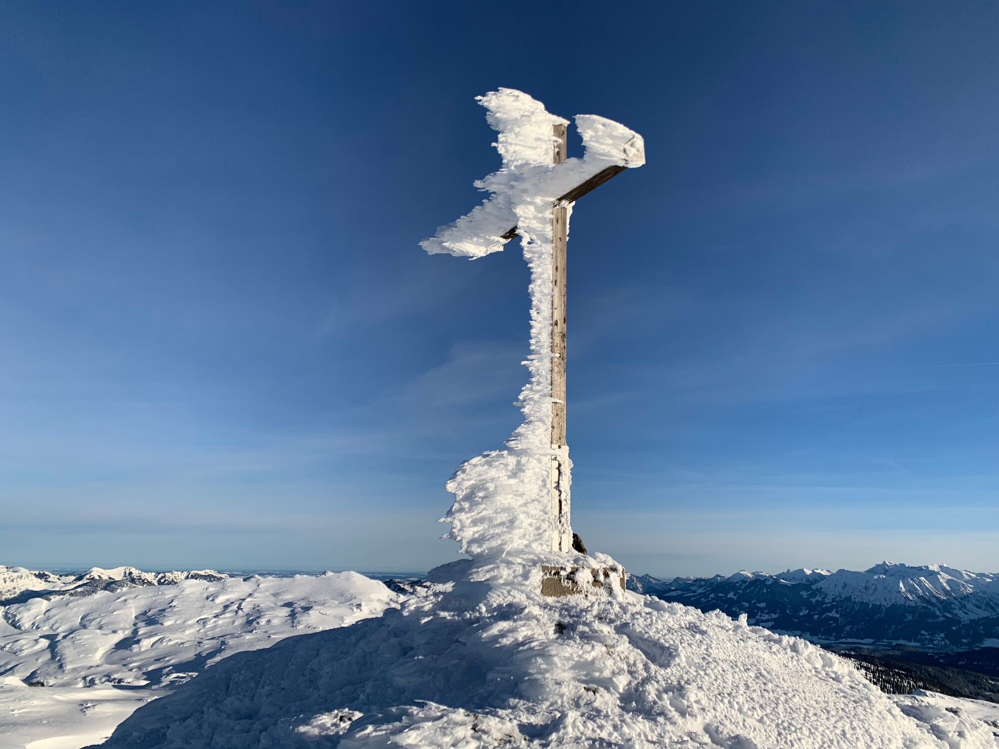
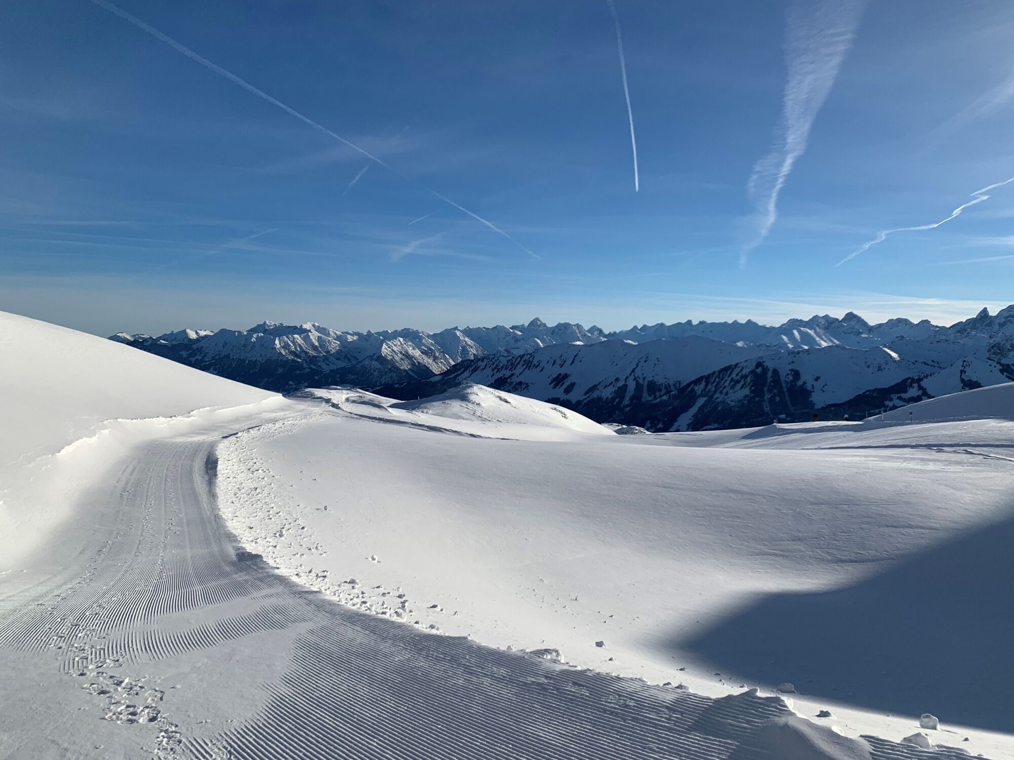
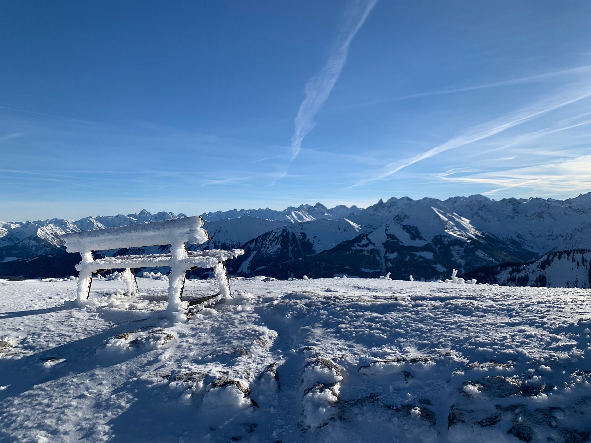
Beautiful panoramic path in the Ifen ski area. Walk through the snow landscape of the Gottesacker Plateau and enjoy the mountain view at 2.000m.
- Difficulté
-
moyen
- Évaluation
-
- Parcours
-
Gottesacker3,8 km
- Meilleure saison
-
aoûtsept.oct.nov.déc.janv.févr.marsavrilmaijuinjuil.
- Hauteur maximale
- 2.008 m
- Point de mire
-
Hirschegg
- Profil en hauteur
-


- Auteur
-
La randonnée Hiking trail Gottesacker est utilisé par outdooractive.com fourni par.
GPS Downloads


Informations générales
Point de rassemblement
Prometteur
Autres parcours dans les régions