
Dates des itinéraires
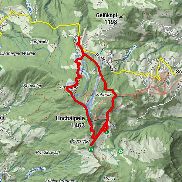
10,2km
1.137
- 1.446m
376hm
350hm
02:30h
- Brève description
-
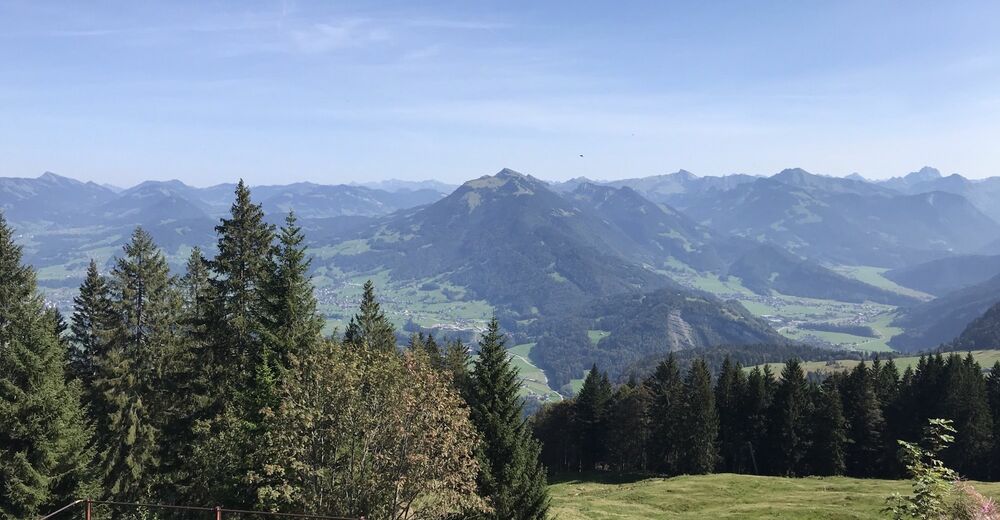
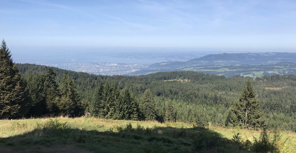
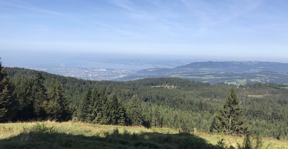
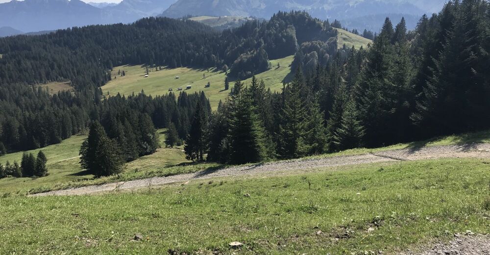
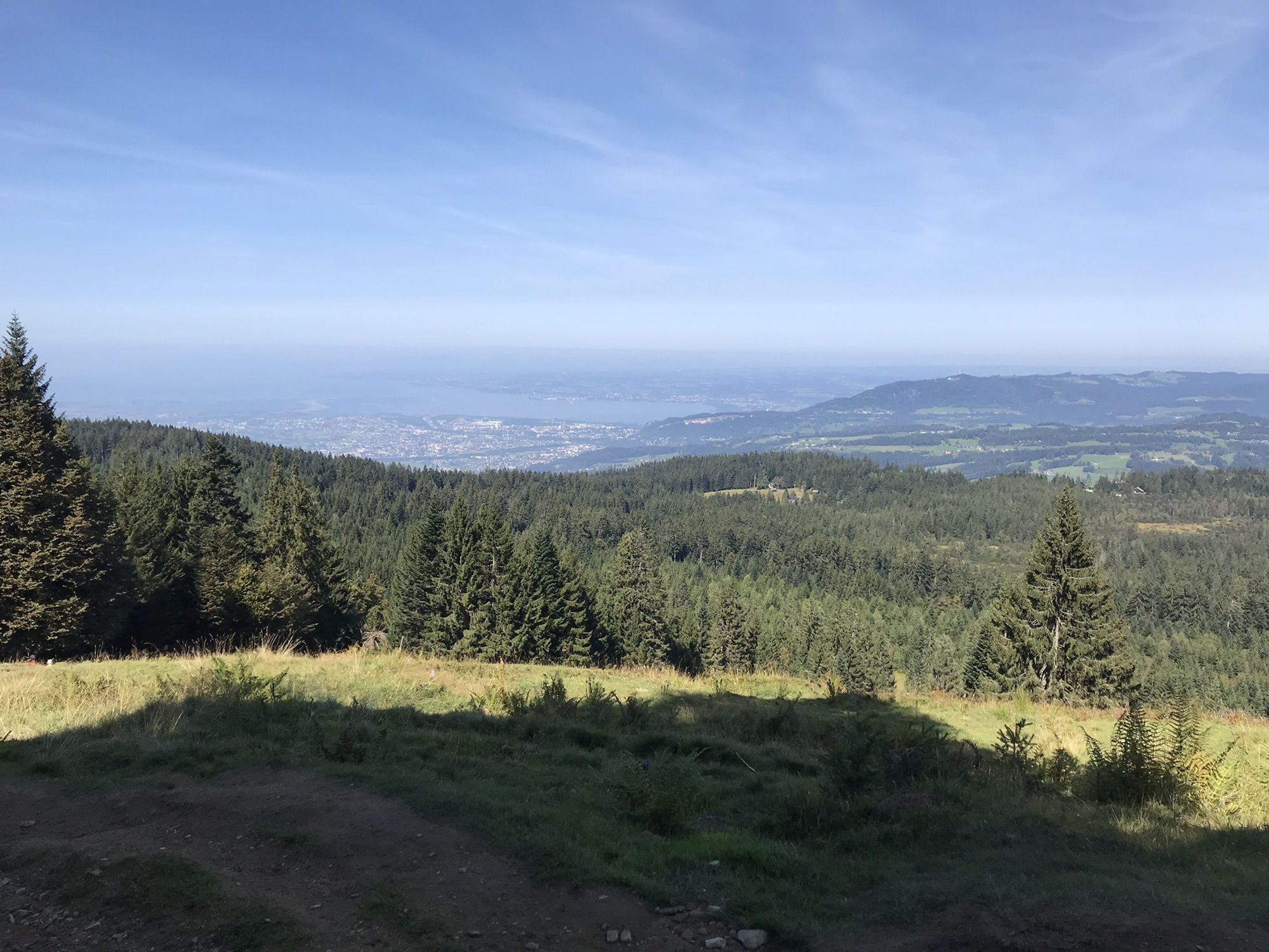
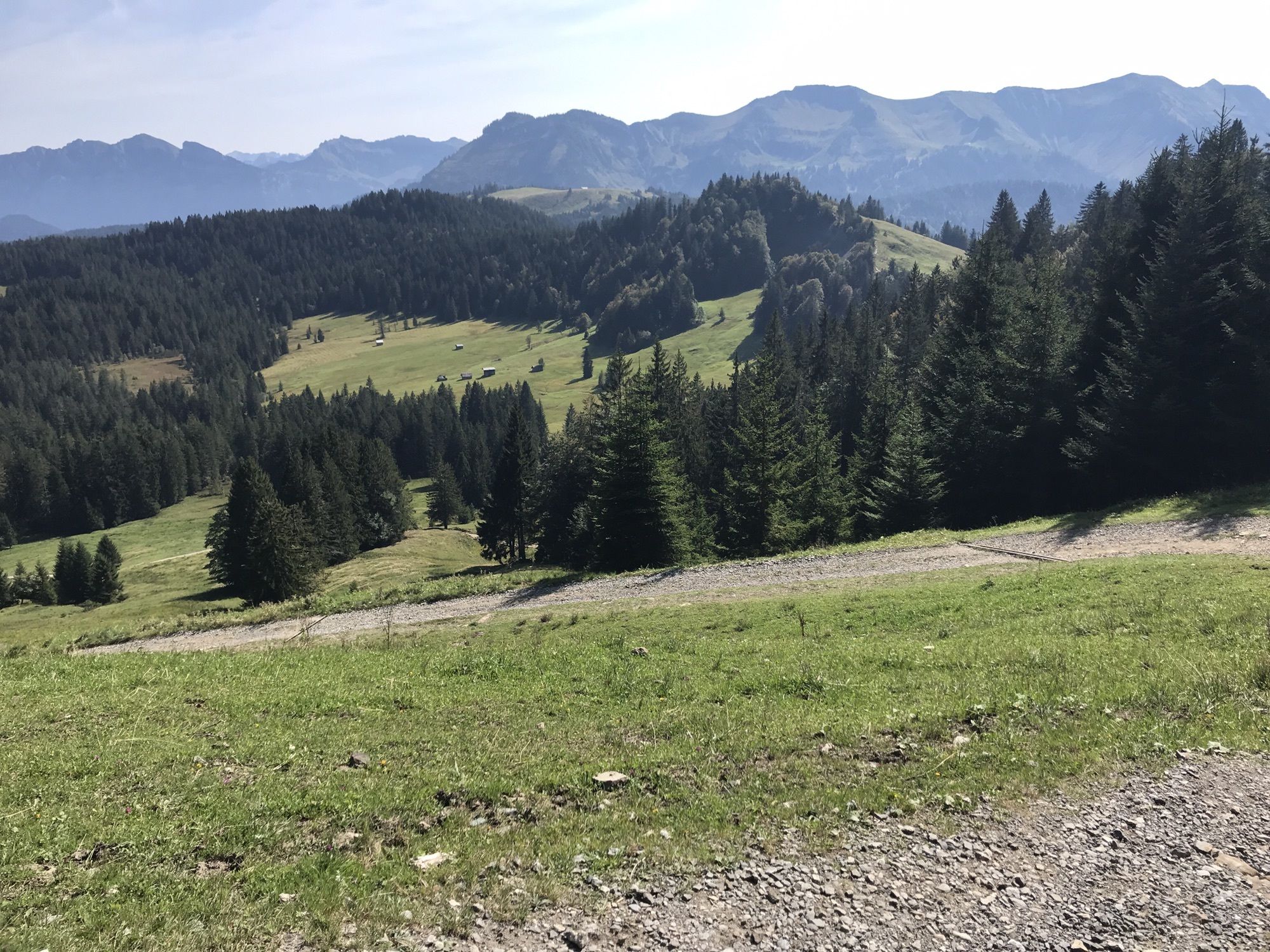
Einfache Wanderung mit schönen Aussichtspunkten auf den Bregenzerwald und den Bodensee.
- Difficulté
-
facile
- Évaluation
-
- Parcours
-
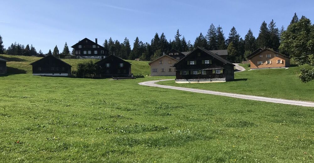
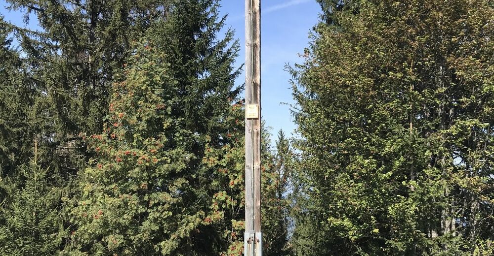
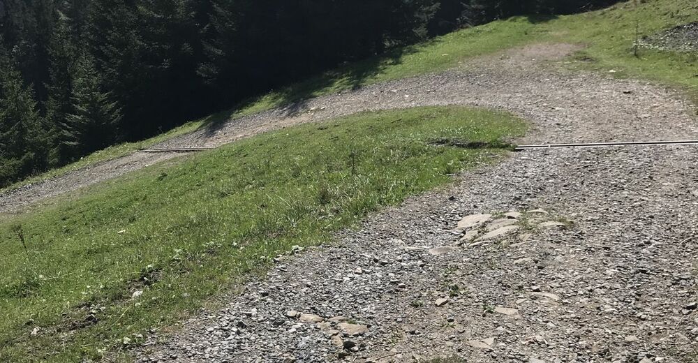
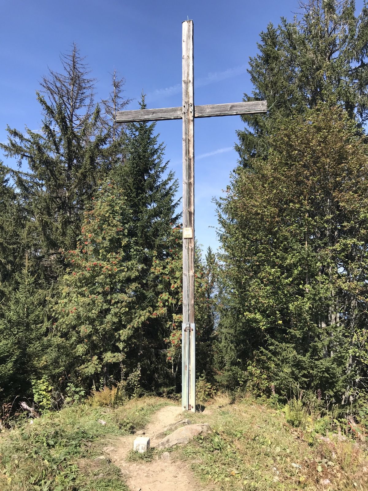
Berghof Fetz0,0 kmBödele0,8 kmMeierei Bödele1,6 kmLankhütte2,2 kmAm Lank2,9 kmHochälpelehütte3,9 kmHochälpelekopf (1.464 m)4,0 kmÄlpele5,3 kmBödele9,9 km
- Hauteur maximale
- 1.446 m


GPS Downloads


Autres parcours dans les régions
-
St. Gallen - Bodensee
2070
-
Bodensee - Vorarlberg
1315
-
Schwarzenberg
608


