Von der Altgerachalpe über den Bettlerweg zur Portlaalpe

Logo Von der Altgerachalpe über den Bettlerweg zur Portlaalpe
Dates des itinéraires
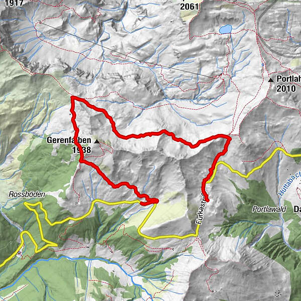
7,96km
1.570 - 1.806m
Distance
356hm
221hm
Montée
02:29h
 
Durée
Brève description

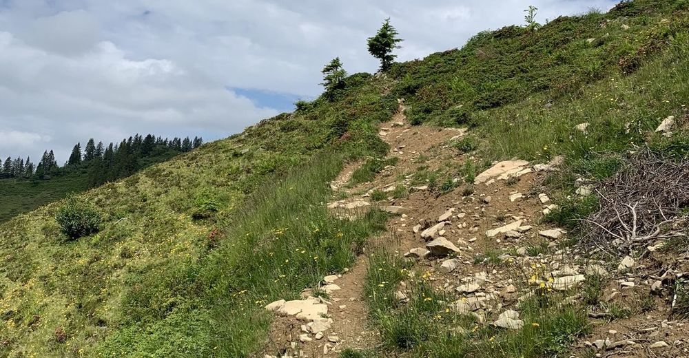
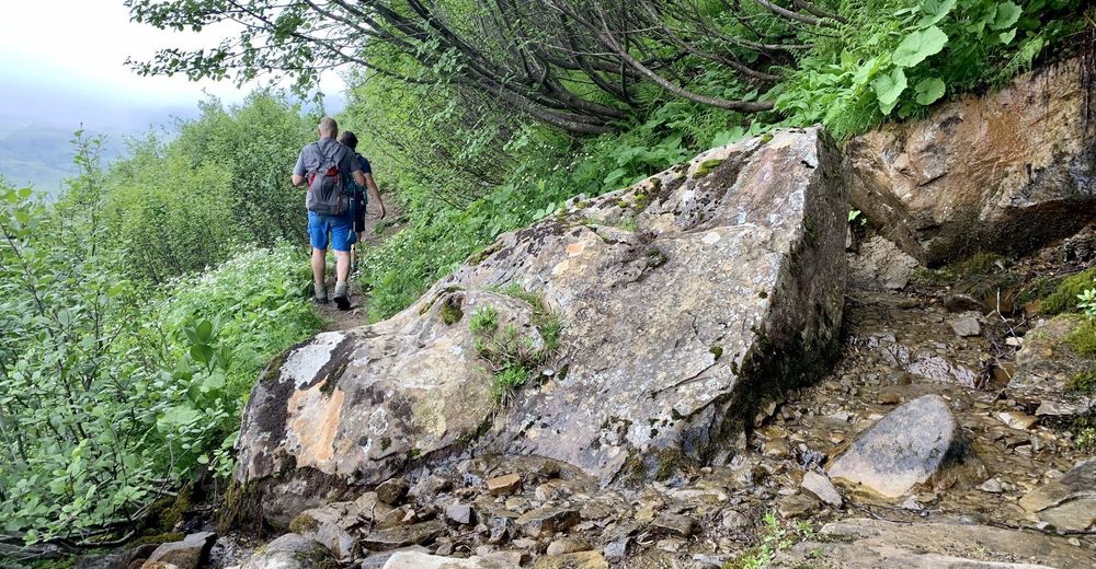
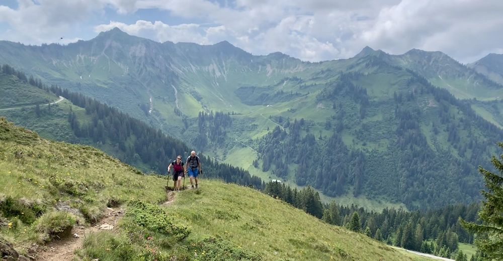
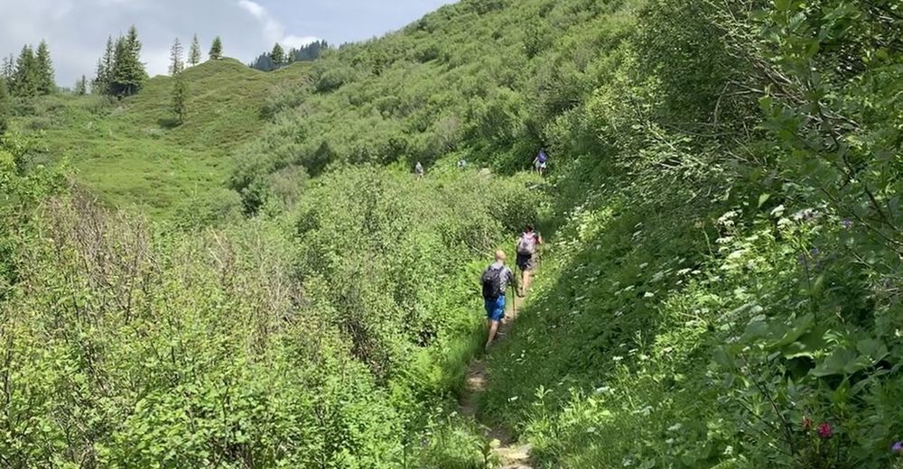
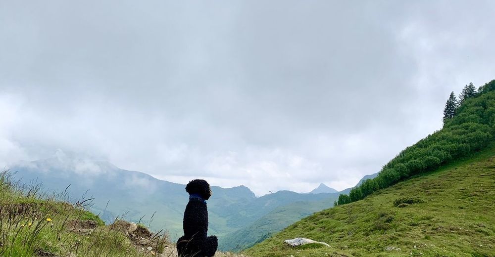
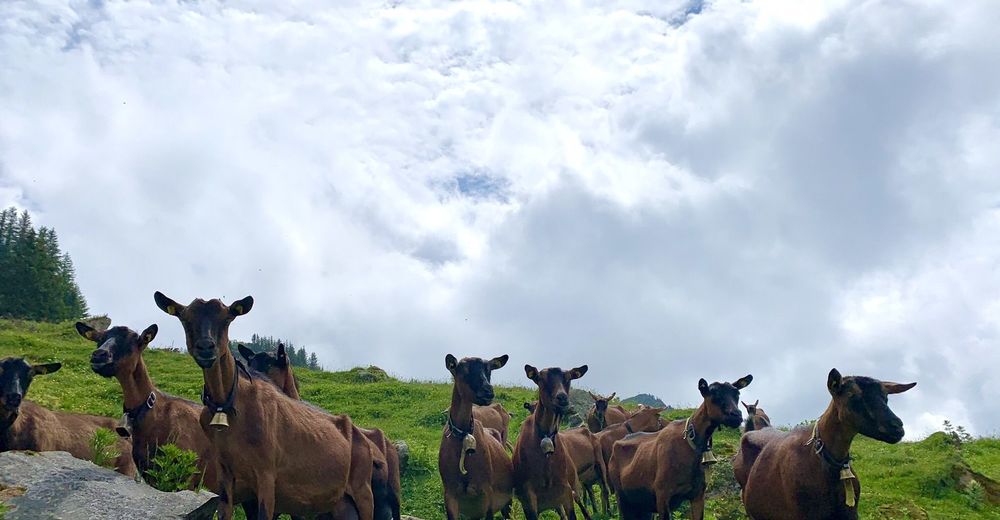
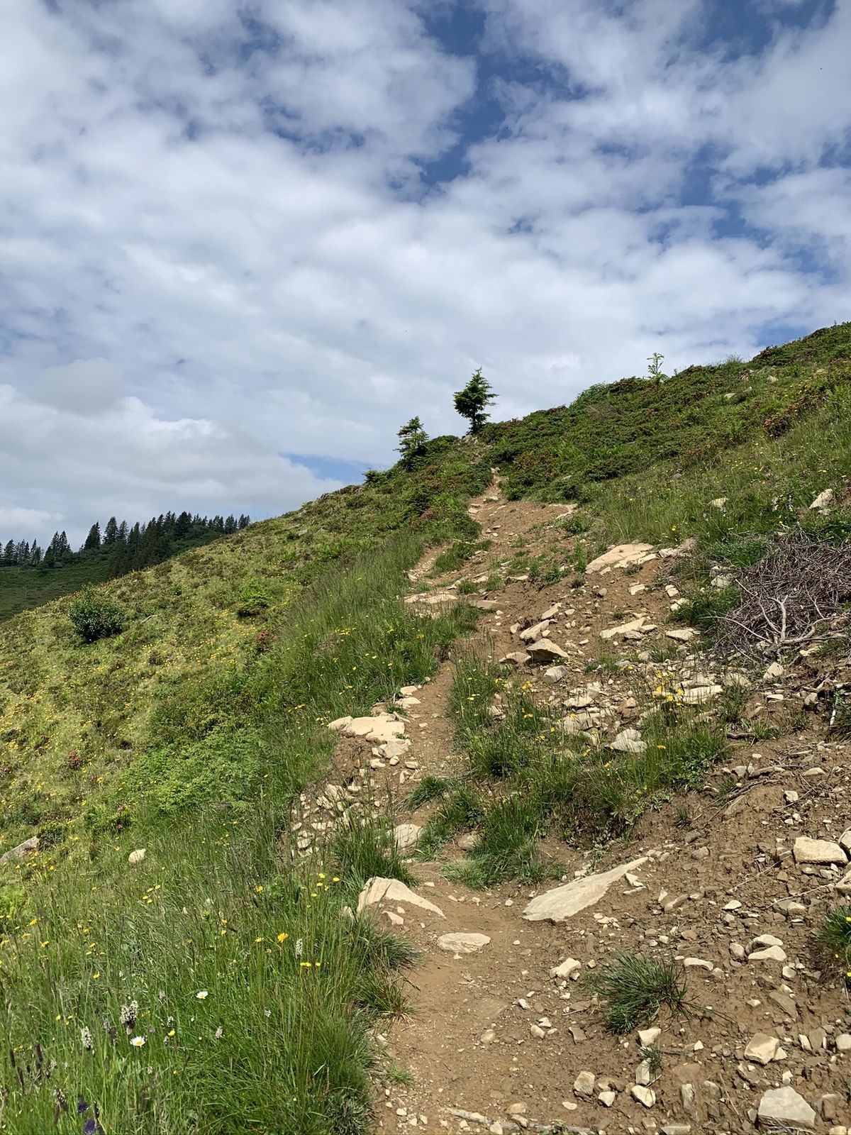
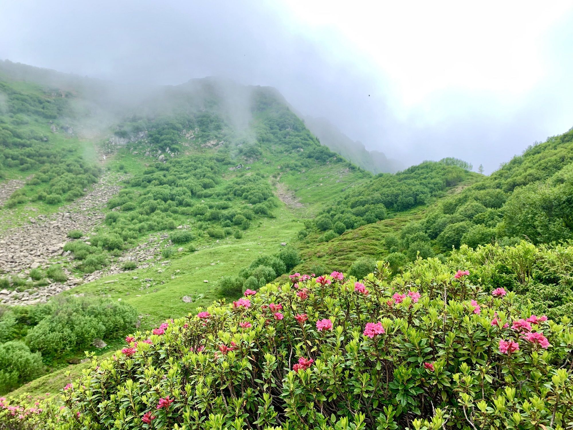
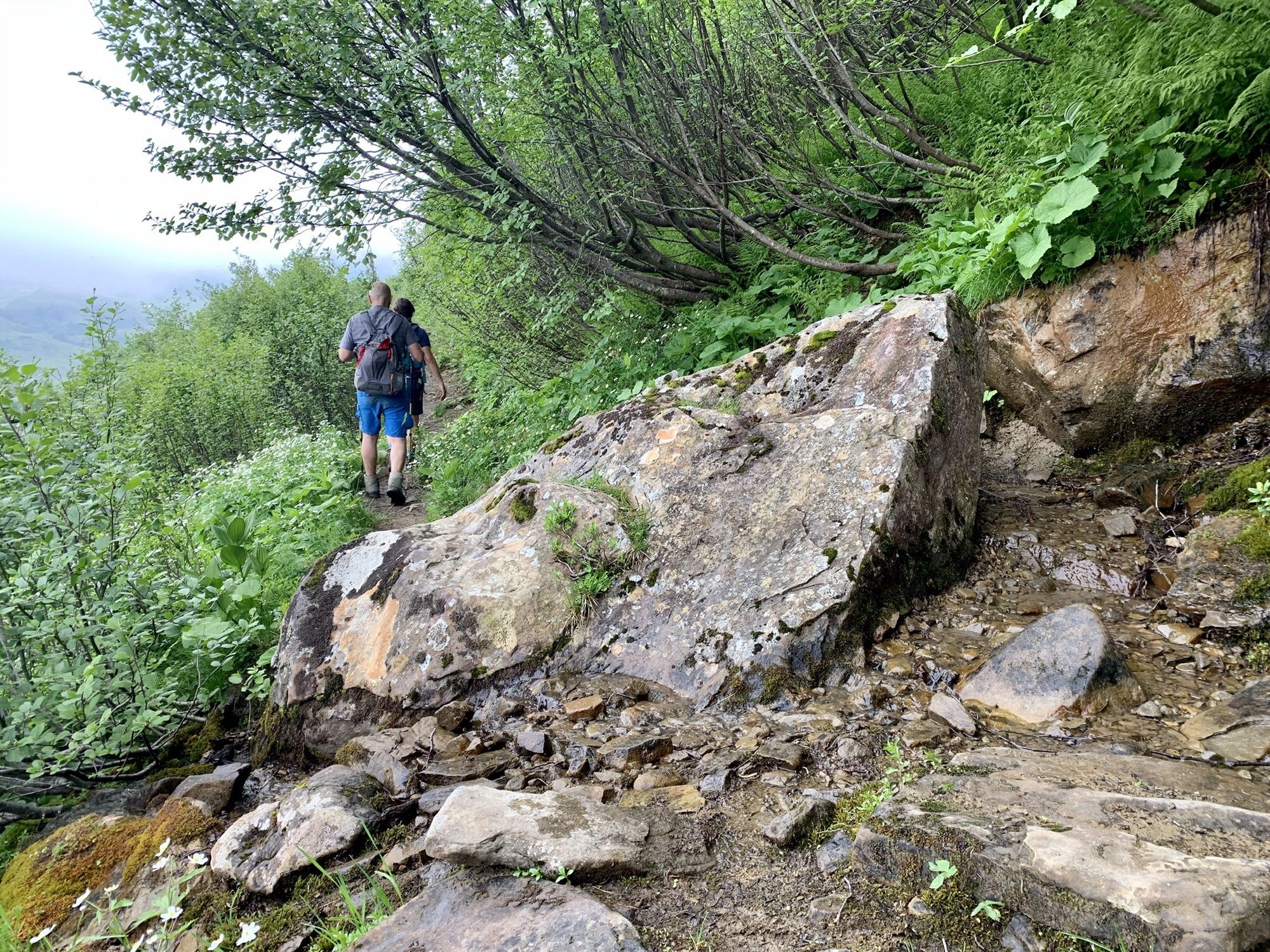
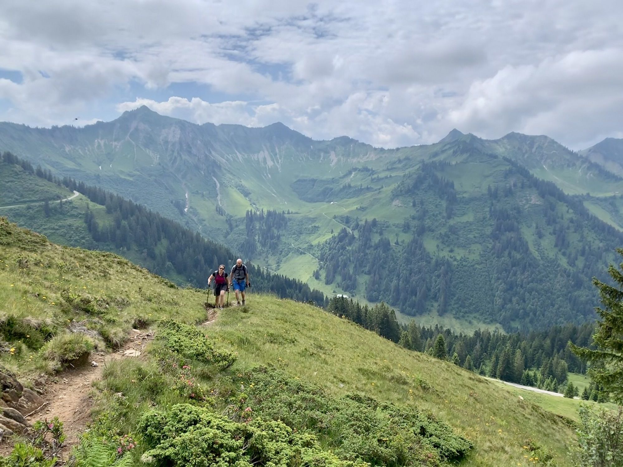
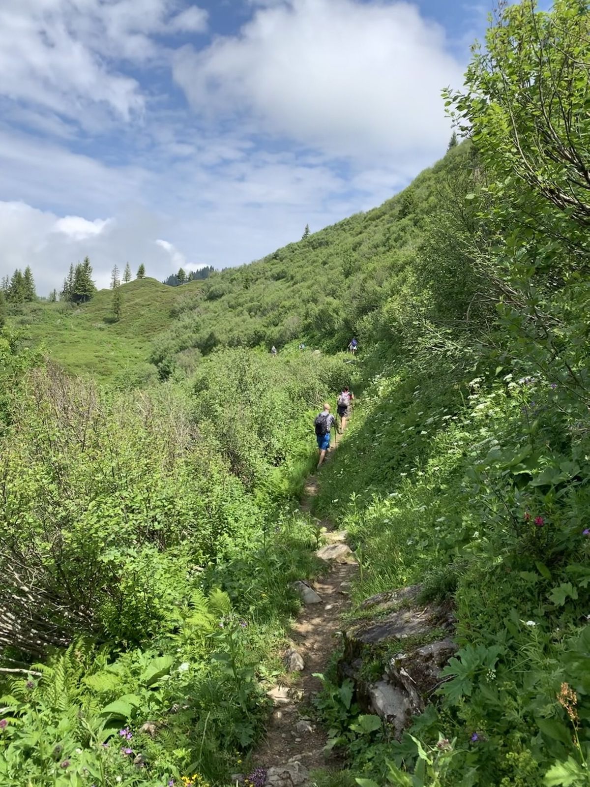
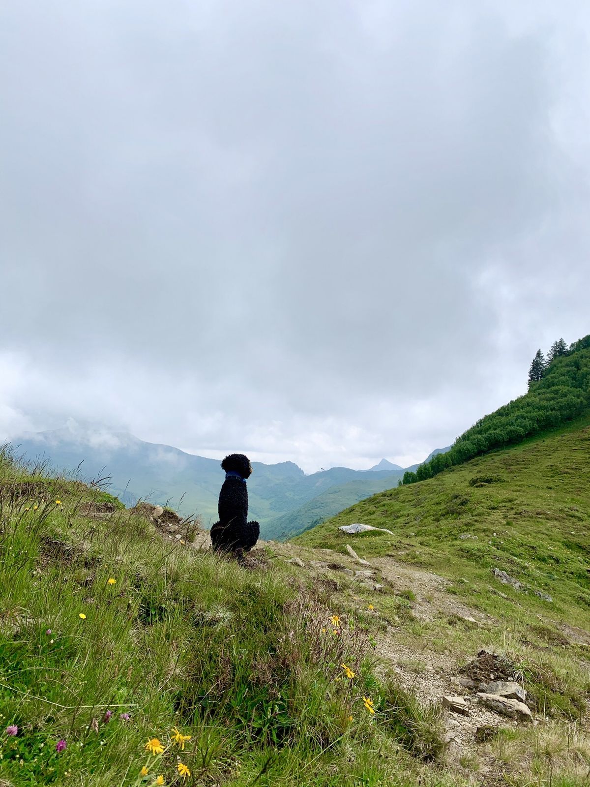
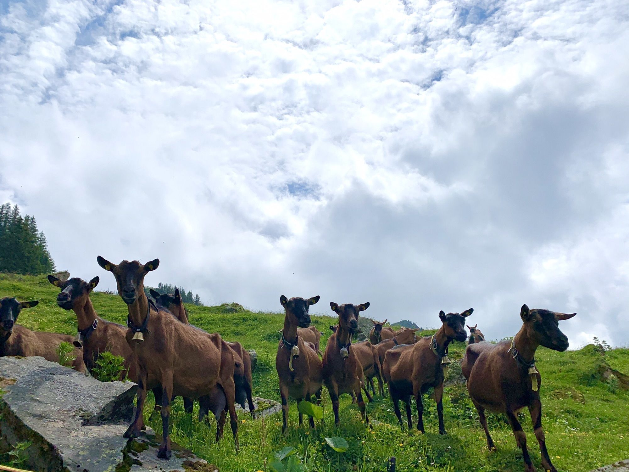
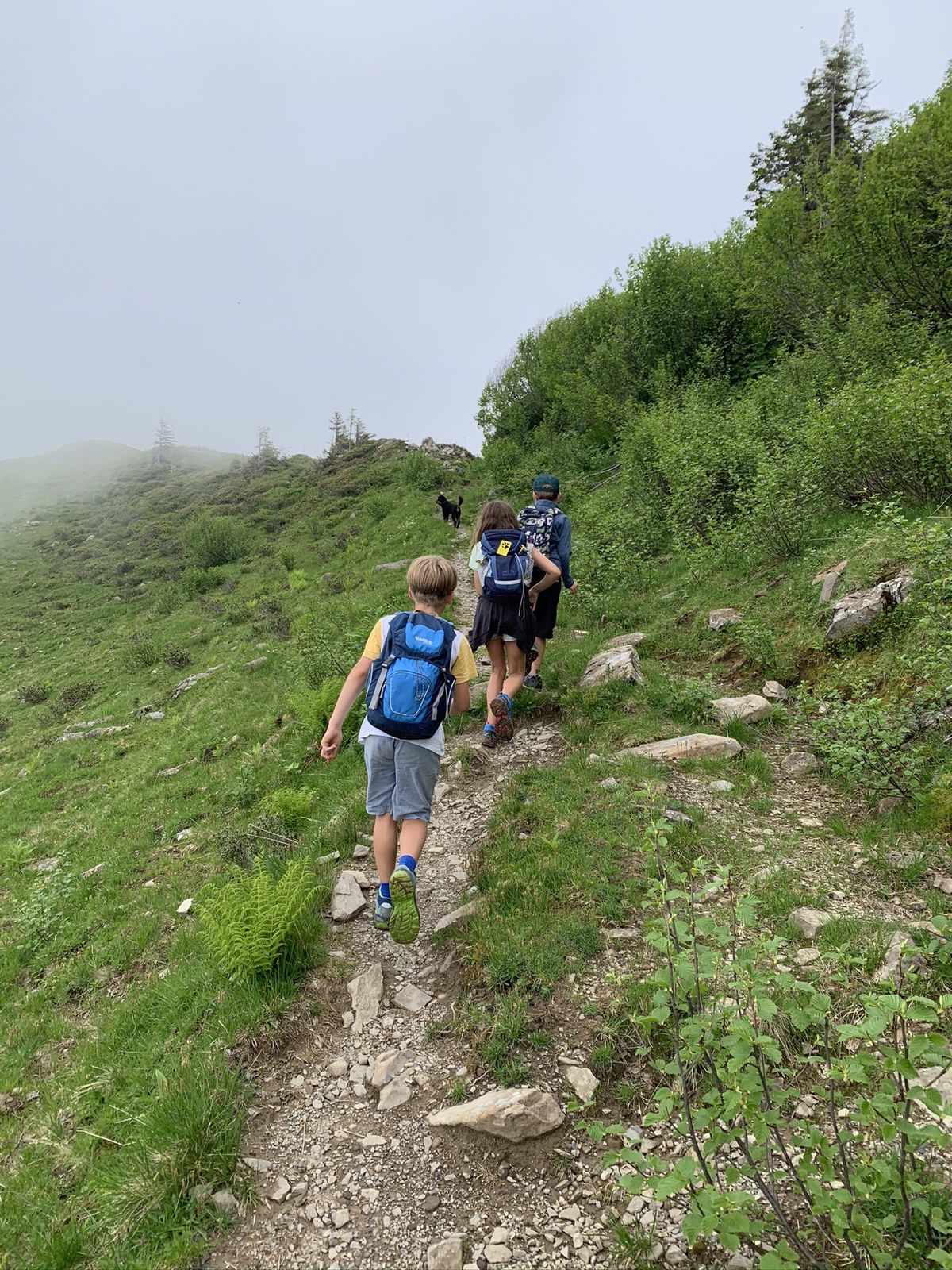
Idyllische Tour abseits der üblichen Touristenpfade entlang der Rückseite des Furkajochs

Difficulté
moyen
Évaluation
Technique
Endurance
Paysage
Résultat
Parcours
Gävisalpe (1.750 m)
2,8 km
Gäviserhöhe
3,2 km
Alpe Portla
6,9 km

Meilleure saison
janv.
févr.
mars
avril
mai
juin
juil.
août
sept.
oct.
nov.
déc.
Hauteur maximale
1.806 m

Évaluation globale

5

0

%

4

0

%

3

0

%

2

0

%

1

0

%

Erreur
Une erreur est survenue. Veuillez réessayer.
Merci pour votre évaluation

L'évaluation a été supprimée

GPS Downloads
  • GPX GPS Exchange Format (XML)
  • KML Google Earth, Google Maps
Codes de téléchargement QR pour les téléphones portables
Autres parcours dans les régions

Randonnées populaires dans la région

Faschina | Rund um's Zafernhorn

moyen Randonnée
10,09km | 634hm | 04:15h

Kanisfluh, 2.044 m

moyen Randonnée
4,41km | 589hm | 03:30h

Panorama hike Dornbirn Karren

moyen Randonnée
3,43km | 472hm | 01:20h

Glatthorn

moyen Randonnée
6,49km | 507hm | 02:30h