

© Warth-Schröcken Tourismus - Sebastian Stiphout


- Brève description
-
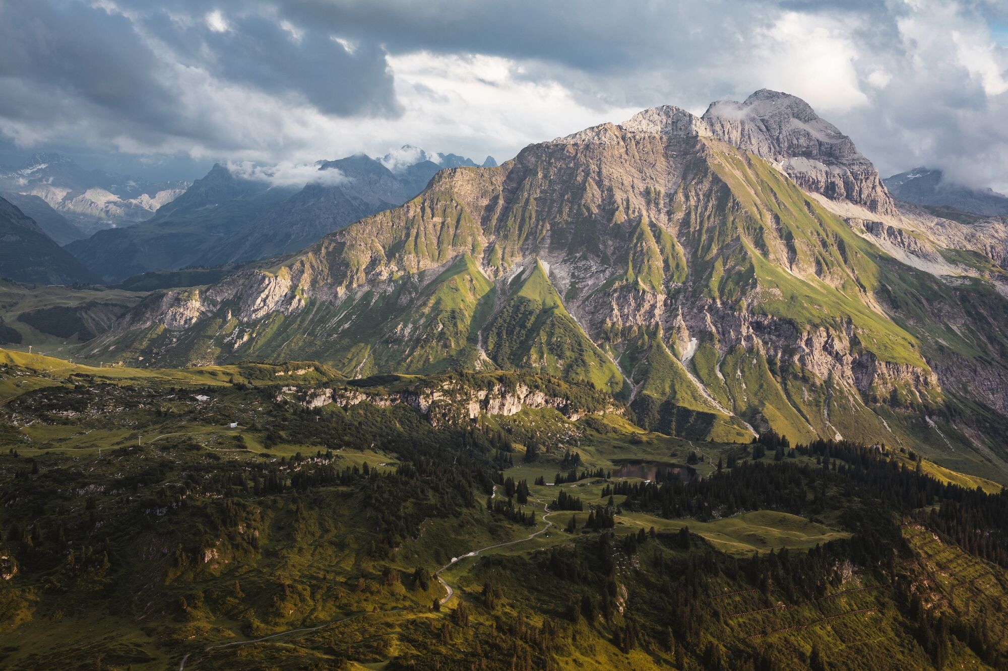
Relax again on the ascent with the Oberlech and Petersboden cable cars before you start. Now you have already left most of the vertical meters behind you and can start walking at your own pace through the nature reserve Gipslöcher towards Mohnensattel. We continue on the gravel road to the summit. Now you deserve a breather. Take a deep breath and enjoy the breathtaking view. Hike first along the same path back to the fork in the path and finally turn right. In a short time you will reach the fresh Butzensee, which invites you to cool off. Continue along the Jägersteig to Schröcken into the village.
- Difficulté
-
difficile
- Évaluation
-
- Parcours
-
Mohnenfluh (2.544 m)3,2 kmMaterialseilbahn Körbersee10,0 kmSchröcken (1.269 m)10,2 km
- Meilleure saison
-
janv.févr.marsavrilmaijuinjuil.aoûtsept.oct.nov.déc.
- Hauteur maximale
- 2.528 m
- Point de mire
-
Schröcken village square
- Profil en hauteur
-

-

-
AuteurLa randonnée Mohnenfluh (2.542 m) est utilisé par outdooractive.com fourni par.
GPS Downloads


Informations générales
Prometteur
Autres parcours dans les régions


