Bergtour auf die Tschaggunser Mittagspitze (ab Latschau)

Randonnée
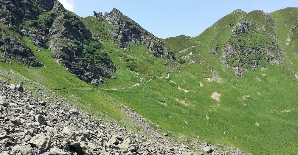
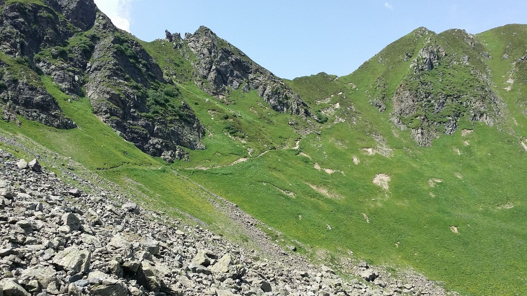
© Montafon Tourismus GmbH_Roland Fritsch - Christina Wachter
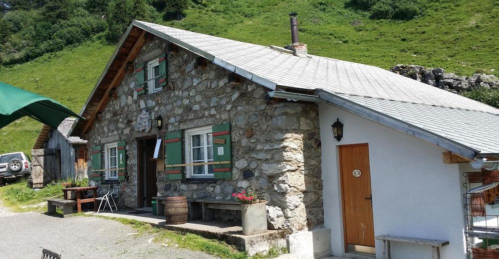
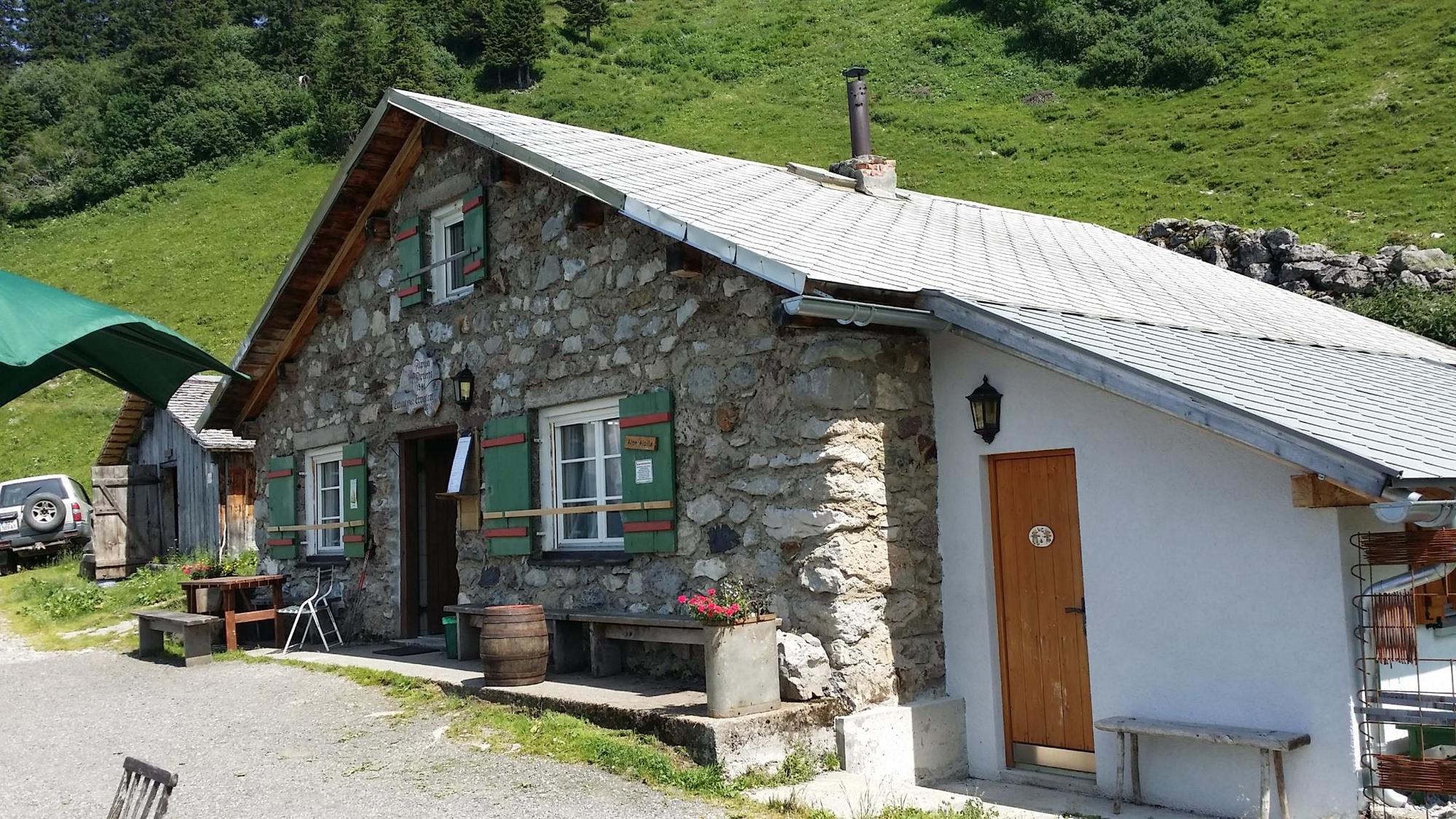
© Montafon Tourismus GmbH_Roland Fritsch - Christina Wachter
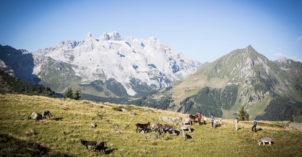
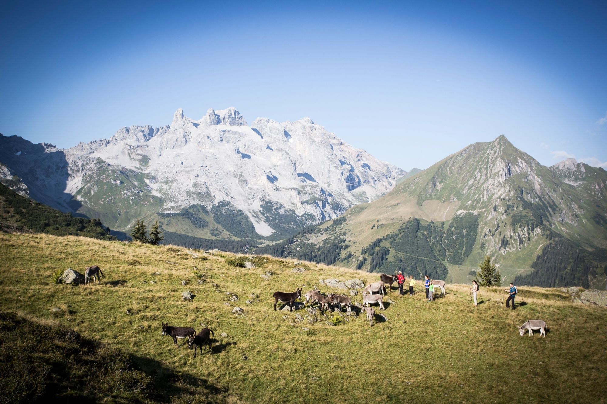
© Montafon Tourismus GmbH_Daniel Zangerl - Christina Wachter

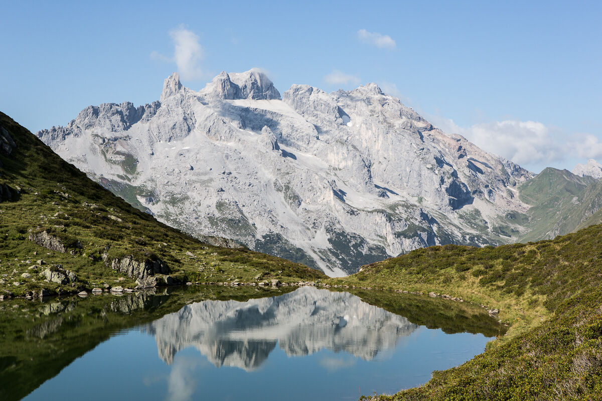
© Montafon Tourismus GmbH - Daniel Zangerl

- Brève description
-
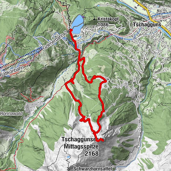
Wanderparkplatz Latschau - Gauertal - Volspora - Alpilaalpe - Tobelsee - Schwarzhornsattel - Mittagsspitzsattel - Tschaggunser MIttagspitze - Grabs - Latschau
- Difficulté
-
difficile
- Évaluation
-
- Parcours
-
Holzschopf Latschau0,0 kmMontabella0,8 kmHochegga7,5 kmGrabs8,4 kmMontabella10,6 kmHolzschopf Latschau11,4 km
- Meilleure saison
-
janv.févr.marsavrilmaijuinjuil.aoûtsept.oct.nov.déc.
- Hauteur maximale
- 2.124 m
- Point de mire
-
Tschagguns, Wanderparkplatz Latschau
- Profil en hauteur
-

-

-
AuteurLa randonnée Bergtour auf die Tschaggunser Mittagspitze (ab Latschau) est utilisé par outdooractive.com fourni par.
GPS Downloads


Informations générales
Point de rassemblement
Prometteur
Autres parcours dans les régions
-
Montafon
1381
-
Golm im Montafon
568


