- Brève description
-
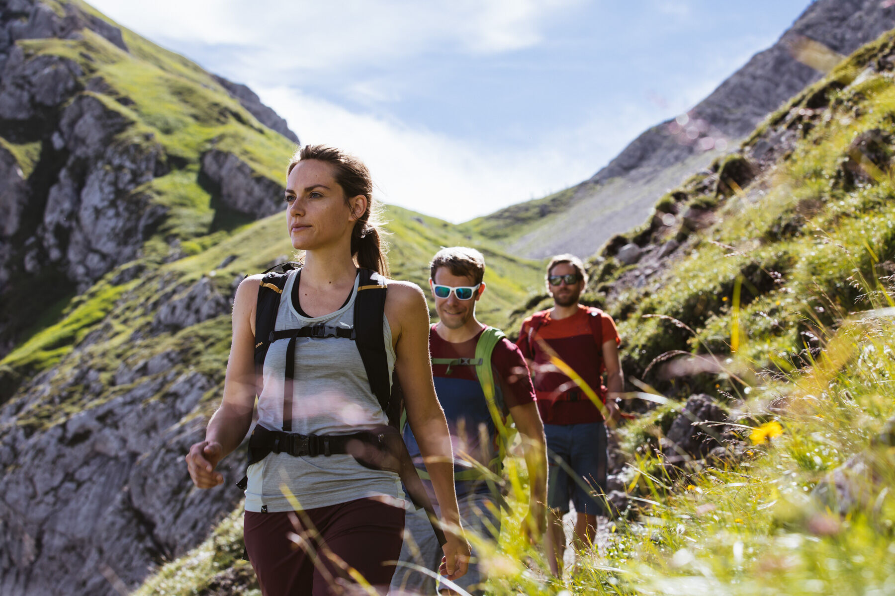
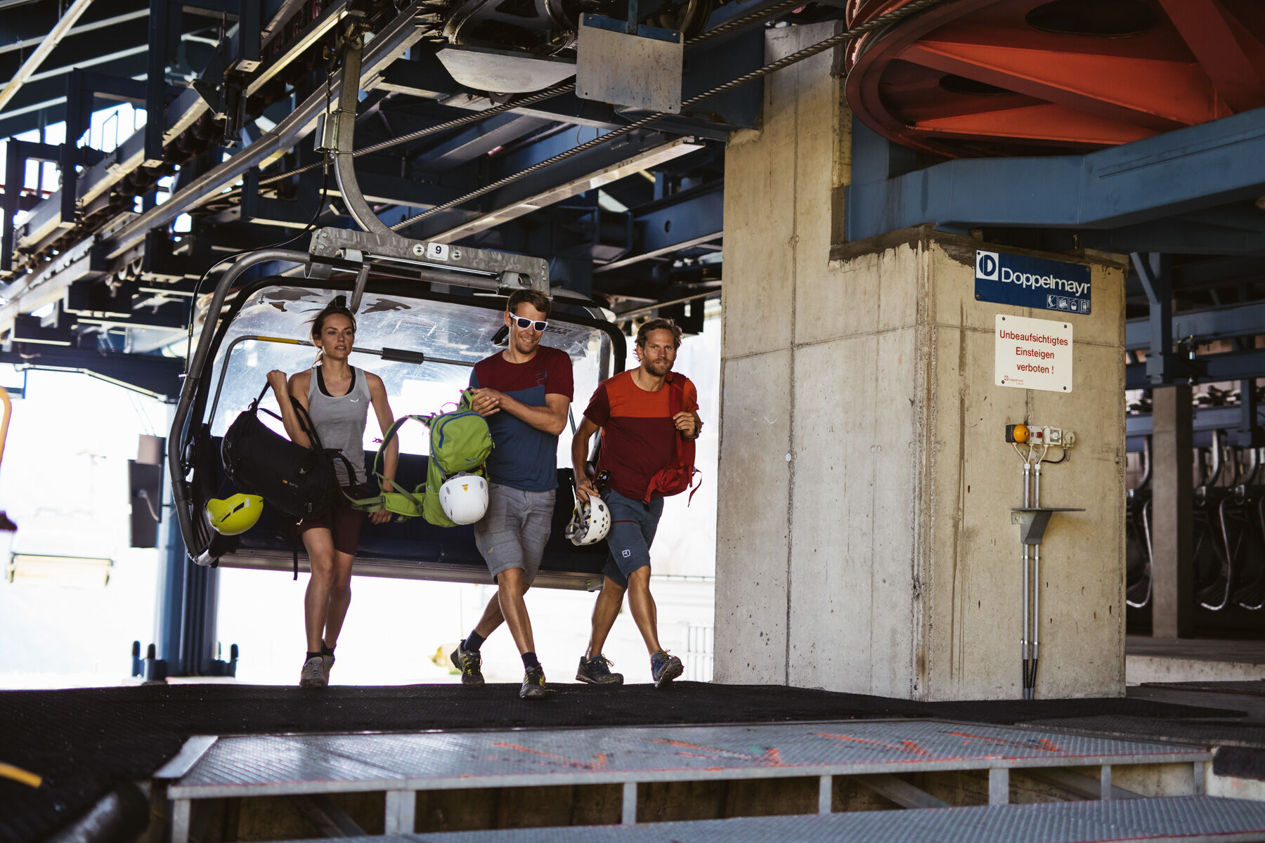
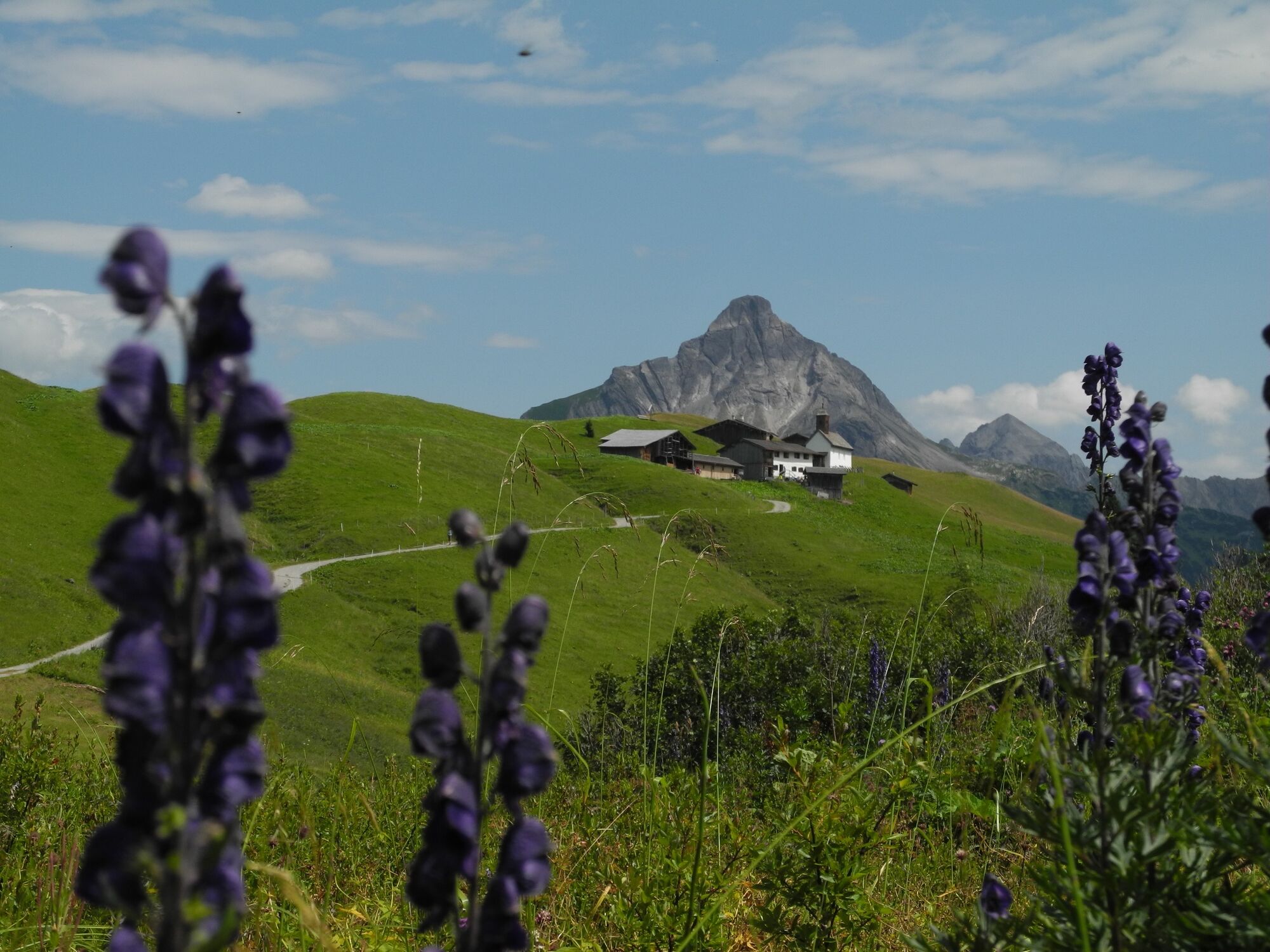
With the Steffisalp-Express you can easily cross the first vertical meters. At the exit a cozy hiking trail leads only towards “Spitziger Stein” (beautiful viewpoint!) and then on to the Hochalphütte (managed). Behind the hut, the path leads slightly upwards to Saloberkopf and further on over a beautiful freight path over the Salobersattel. At the crossroads keep left towards Auenfelderhütte (managed) or Lower Auenfeldalpe. The path continues eastwards through the picturesque Auenfeld to the Auenfeldsattel. From here the path leads to the left to the Karalpe and further to the former Walsersiedlung “Bürstegg” From here it goes slightly uphill in a northern direction over the “Steinige Bühel” to the Wannenkopf, before coming back to the Steffisalp-Express mountain station and taking the cable car back down.
- Difficulté
-
moyen
- Évaluation
-
- Parcours
-
Hochalphütte1,7 kmSalober-Sattel (1.792 m)3,8 kmAuenfelder Hütte4,8 kmUntere Auenfeldalpe6,1 kmKarbühel7,3 kmKarbühel (1.840 m)7,9 kmJausenstation Bürstegg9,2 kmBürstegg9,2 kmGspa10,8 kmSteffisalp-Express12,0 km
- Meilleure saison
-
janv.févr.marsavrilmaijuinjuil.aoûtsept.oct.nov.déc.
- Hauteur maximale
- 2.014 m
- Point de mire
-
Steffisalp-Express
- Profil en hauteur
-

- Auteur
-
La randonnée Around the Karhorn est utilisé par outdooractive.com fourni par.