

© Alpenregion Bludenz Tourismus GmbH - Thorsten Guenthert / www.best-mountain-artists.de

© Alpenregion Bludenz Tourismus GmbH - Thorsten Guenthert / www.best-mountain-artists.de

© Alpenregion Bludenz Tourismus GmbH - Thorsten Guenthert / www.best-mountain-artists.de

© Alpenregion Bludenz Tourismus GmbH - Thorsten Guenthert / www.best-mountain-artists.de

© Alpenregion Bludenz Tourismus GmbH - Thorsten Guenthert / www.best-mountain-artists.de

© Alpenregion Bludenz Tourismus GmbH - Thorsten Guenthert / www.best-mountain-artists.de

© Alpenregion Bludenz Tourismus GmbH - Thorsten Guenthert / www.best-mountain-artists.de

© Alpenregion Bludenz Tourismus GmbH - Thorsten Guenthert / www.best-mountain-artists.de

© Alpenregion Bludenz Tourismus GmbH - Thorsten Guenthert / www.best-mountain-artists.de

© Vorarlberg Tourismus GmbH
Dates des itinéraires
16,96km
919
- 2.376m
1.776hm
1.214hm
09:00h

- Brève description
-
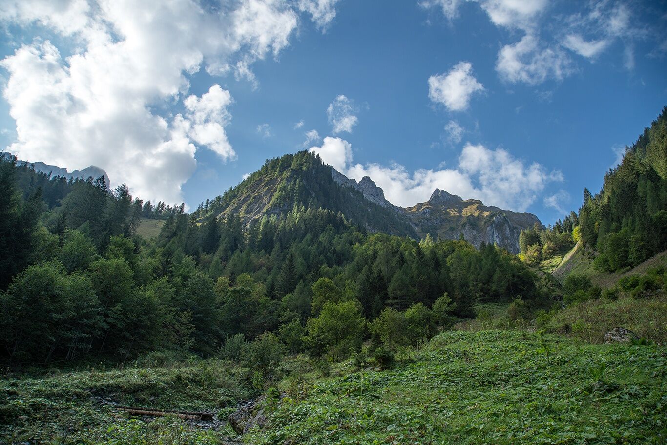
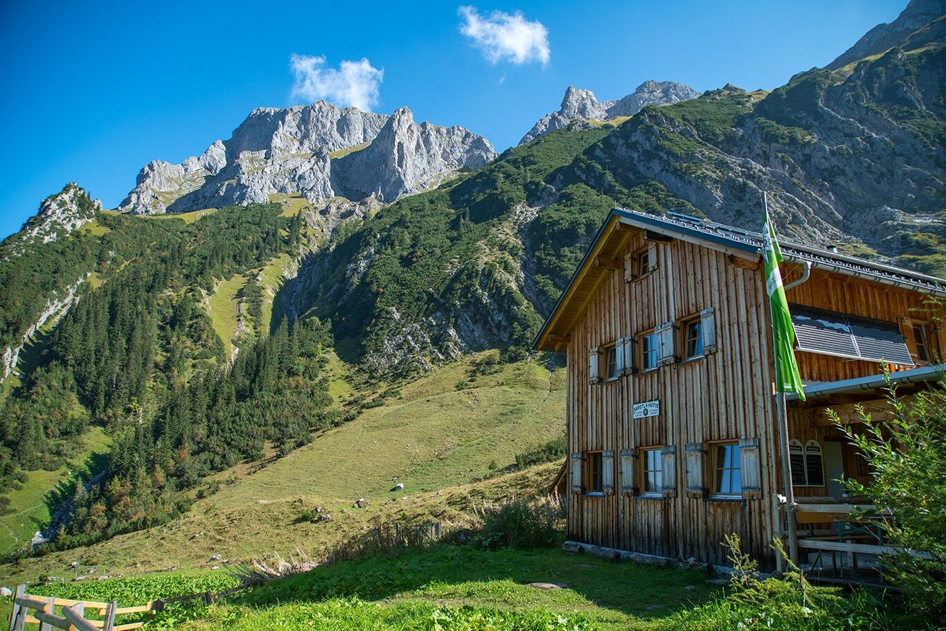
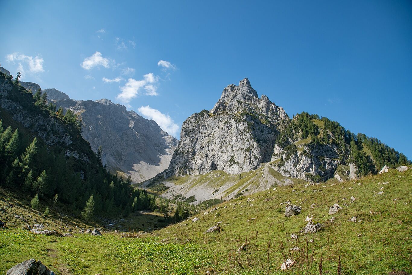
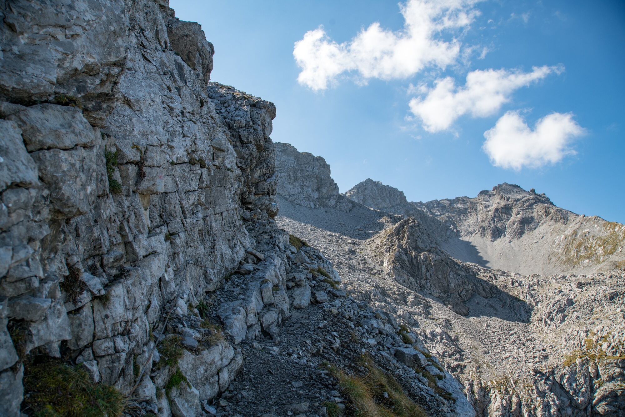
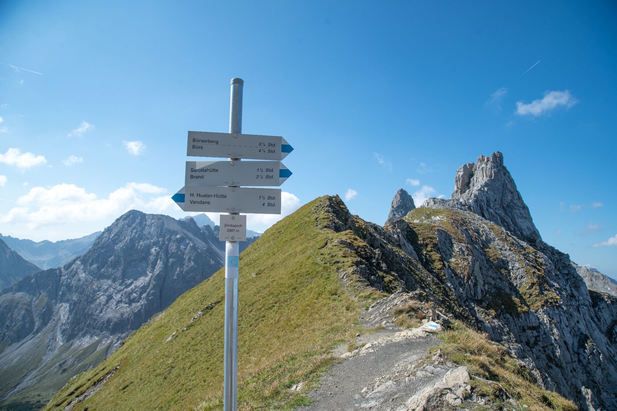
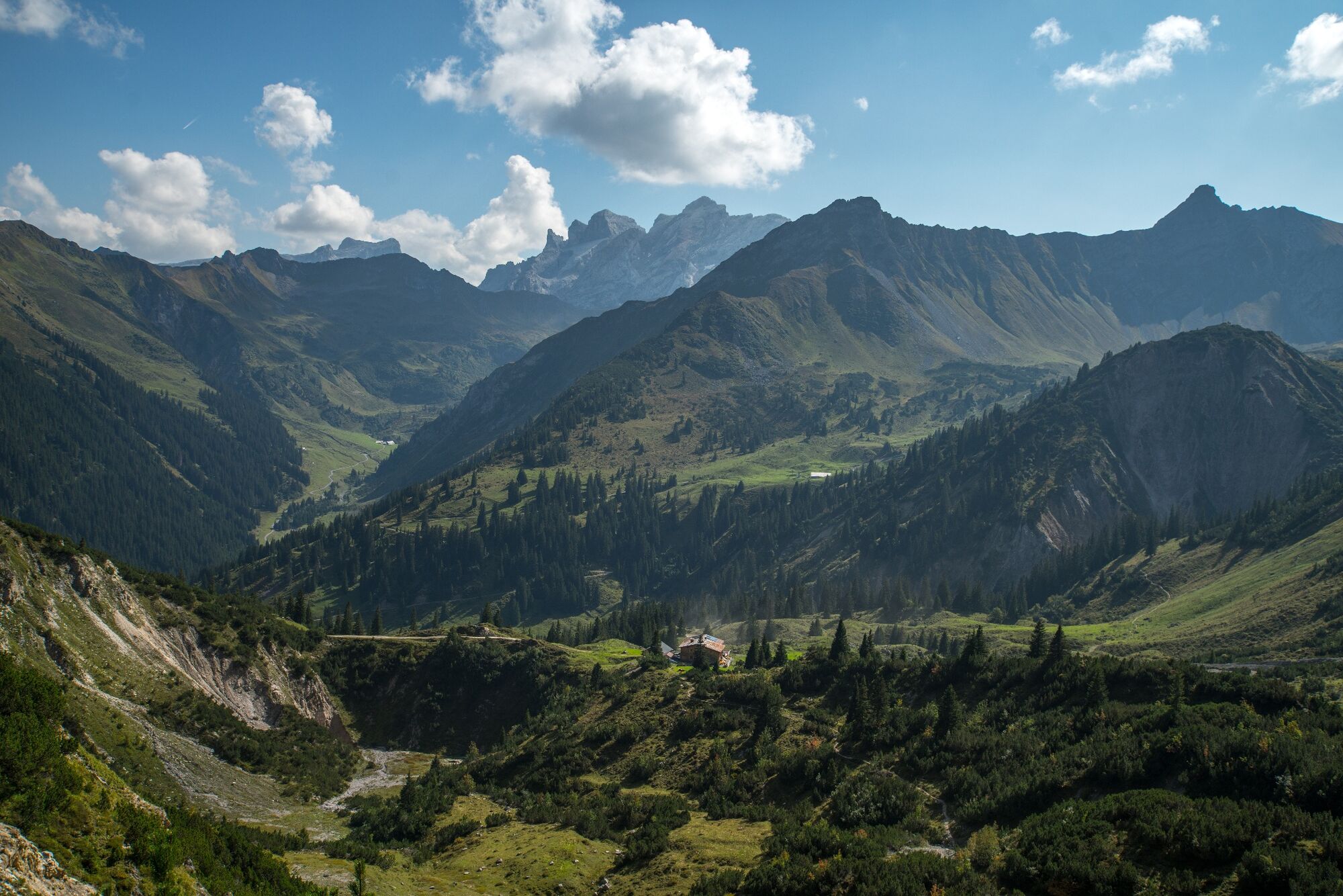
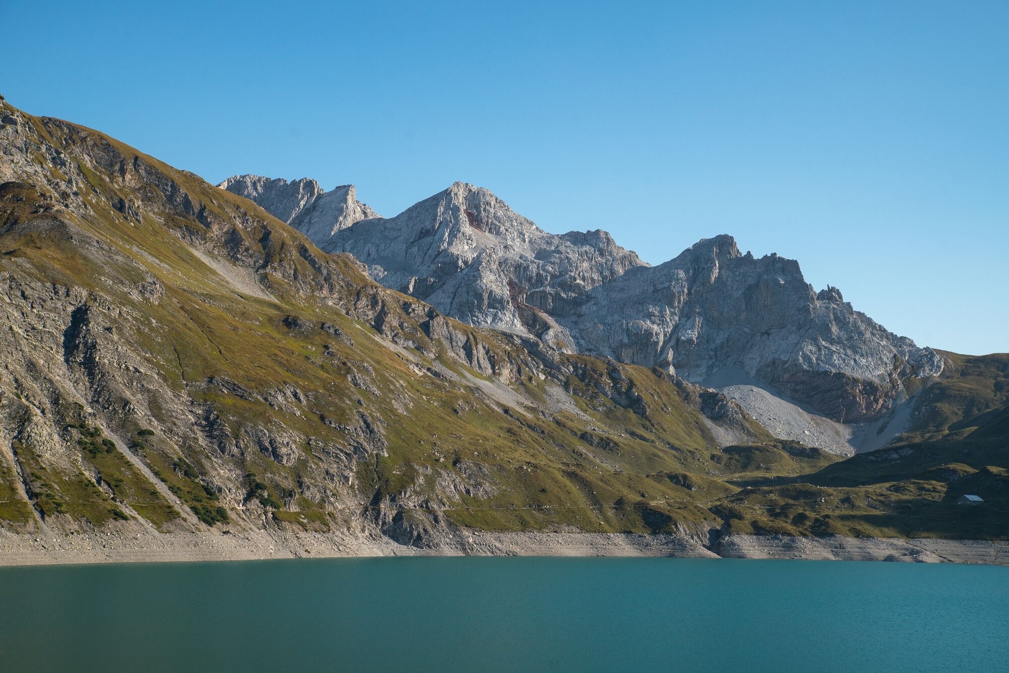
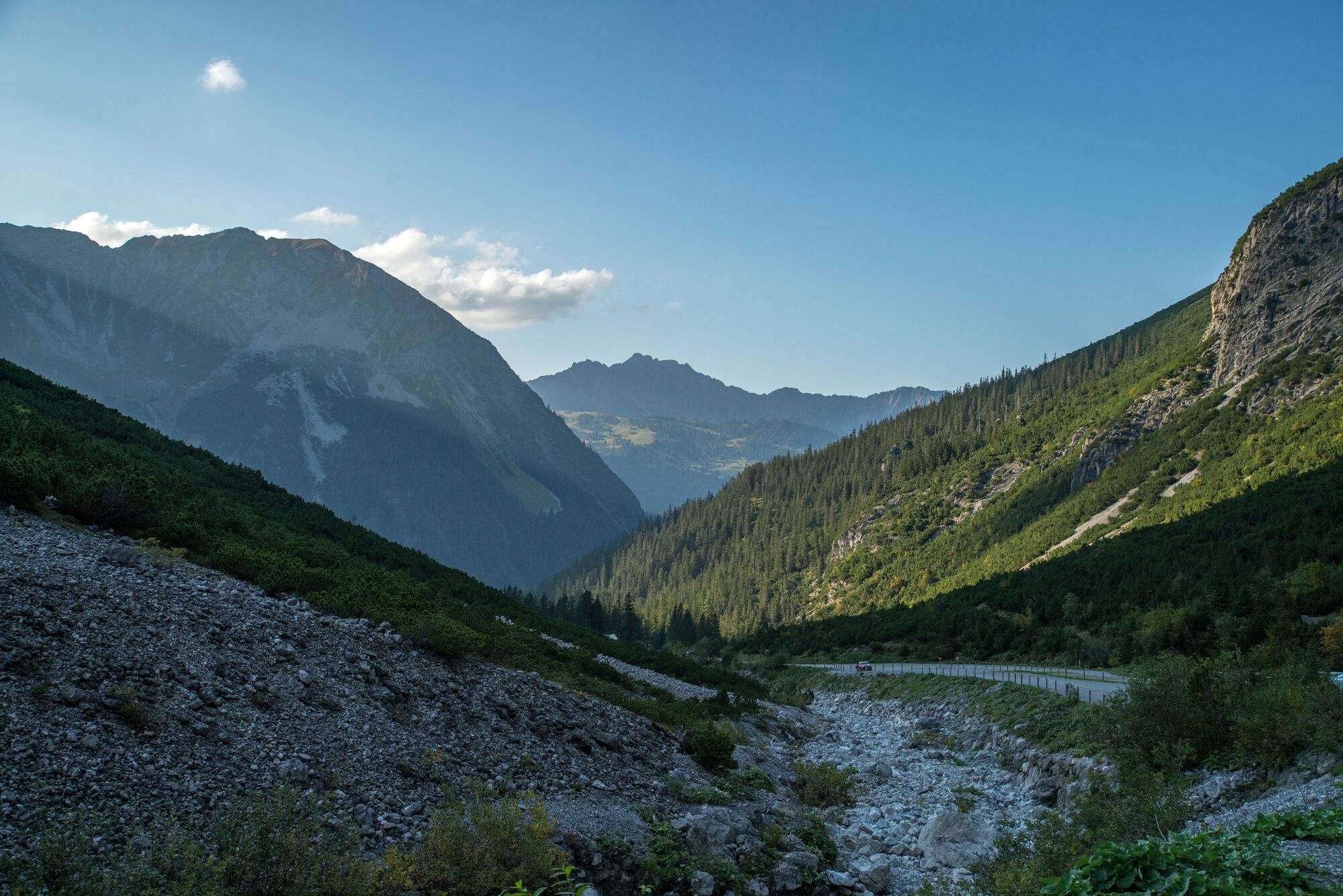
Challenging mountain tour through the Sarotla valley and over the Zimbajoch to the Lünersee.
- Difficulté
-
difficile
- Évaluation
-
- Parcours
-
Sarotlahütte5,4 kmHeinrich-Hueter-Hütte10,1 kmDouglasshütte14,9 kmLünerseebahn Talstation16,9 km
- Meilleure saison
-
janv.févr.marsavrilmaijuinjuil.aoûtsept.oct.nov.déc.
- Hauteur maximale
- 2.376 m
- Point de mire
-
Lünersee cable car valley station, Brand
- Profil en hauteur
-

- Auteur
-
La randonnée Via Zimbajoch to the Lünersee | Brand est utilisé par outdooractive.com fourni par.
GPS Downloads


Informations générales
Point de rassemblement
Prometteur
Autres parcours dans les régions
-
Heidiland
2208
-
Brandnertal
1569
-
Brand
433


