Damüls Fontanella I Türtschalpe und Alpe Unterdamüls

Randonnée


- Brève description
-
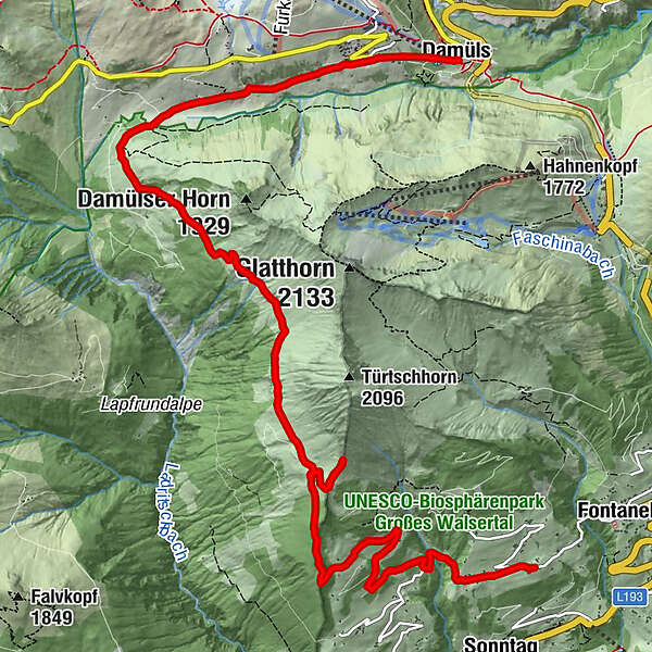
Fontanella - Türtschalpe - Alpe Unterdamüls - Kirchdorf Damüls
- Difficulté
-
moyen
- Évaluation
-
- Parcours
-
Gadastatt2,0 kmTürtschalpe (1.641 m)4,2 kmTürtschalpe4,4 kmAlpe Unterdamüls9,1 kmDamüls (1.423 m)12,0 km
- Hauteur maximale
- 1.780 m
- Point de mire
-
Damüls Kirchdorf
- Profil en hauteur
-


-

-
AuteurLa randonnée Damüls Fontanella I Türtschalpe und Alpe Unterdamüls est utilisé par outdooractive.com fourni par.
GPS Downloads


Informations générales
Point de rassemblement
Autres parcours dans les régions


