
© Bodensee-Vorarlberg Tourismus GmbH - Vorarlberg Rundweg
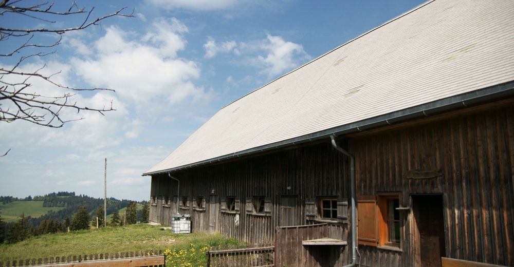
© Vorarlberg Tourismus GmbH - VorarlbergRundweg - Vorarlberg Rundweg
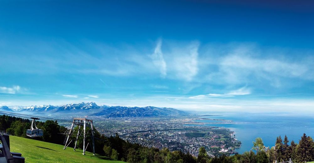
© WK Vorarlberg - Fachgruppe Seilbahnen - Dietmar Walser

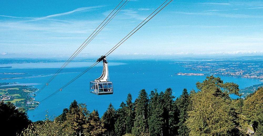
© Bodensee-Vorarlberg Tourismus GmbH - Vorarlberg Tourismus

- Brève description
-
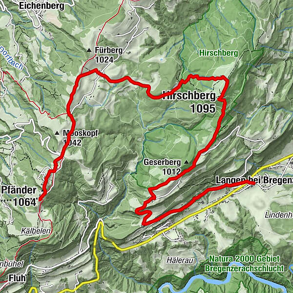
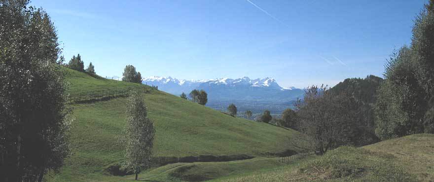
Popular family hike from Pfänder, the local mountain of the inhabitants of Bregenz, across the Hirschberg to Langen.
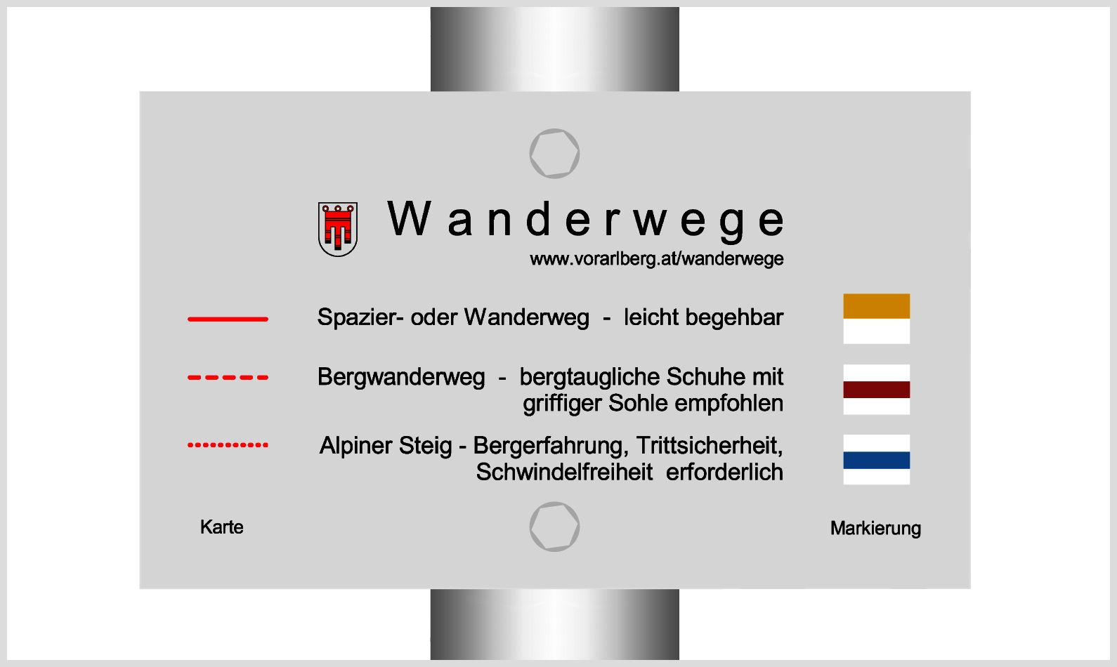
- Difficulté
-
moyen
- Évaluation
-
- Parcours
-
Brégence (427 m)Pfänder (1.064 m)0,2 kmTheresienkapelle0,5 kmMoos1,3 kmJungholz2,9 kmHirschbergalpe5,7 kmHirschberg (1.095 m)6,1 kmAhornach7,4 kmAlte Fatima-Kapelle9,8 kmNeue Fatima-Kapelle9,8 kmStollen9,8 kmGasthaus Adler11,9 kmLangen bei Bregenz11,9 km
- Meilleure saison
-
janv.févr.marsavrilmaijuinjuil.aoûtsept.oct.nov.déc.
- Hauteur maximale
- 1.088 m
- Point de mire
-
Langen, Bregenz
- Profil en hauteur
-


- Auteur
-
La randonnée Bregenz | Adventure route Pfänder - Hirschberg est utilisé par outdooractive.com fourni par.
GPS Downloads


Informations générales
Point de rassemblement
Prometteur
Autres parcours dans les régions
-
St. Gallen - Bodensee
2067
-
Bodensee - Vorarlberg
1317
-
Langen bei Bregenz
466


