© By Cinedoku Vorarlberg (Own work) [CC-BY-SA-3.0 (http://creativecommons.org/licenses/by-sa/3.0)], via Wikimedia Commons - Hanno Thurnher Filmproduktion

© Bodensee-Vorarlberg Tourismus GmbH - Bodensee-Vorarlberg Tourismus

© Bodensee-Vorarlberg Tourismus GmbH - Bodensee-Vorarlberg Tourismus

© Bodensee-Vorarlberg Tourismus GmbH - Bodensee-Vorarlberg Tourismus

© Bodensee-Vorarlberg Tourismus GmbH - Bodensee-Vorarlberg Tourismus

© Bodensee-Vorarlberg Tourismus GmbH - Bodensee-Vorarlberg Tourismus

- Brève description
-
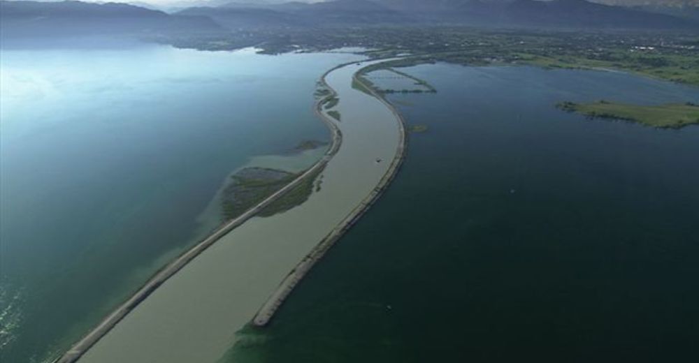
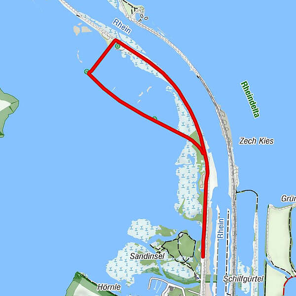
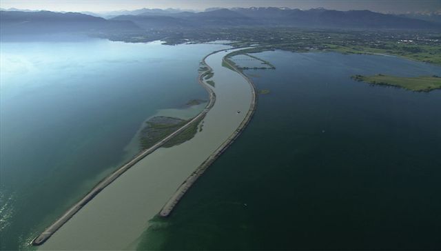
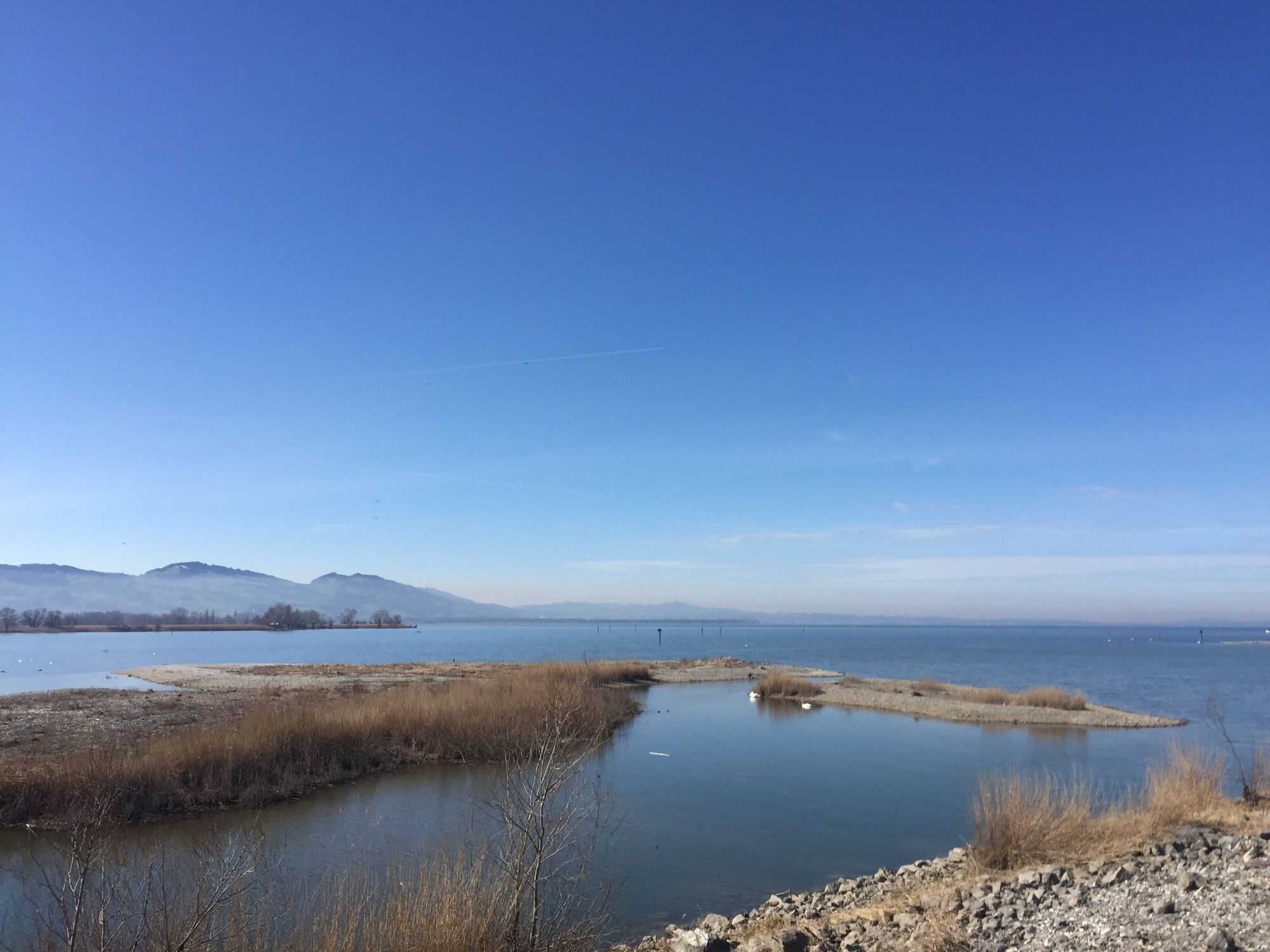
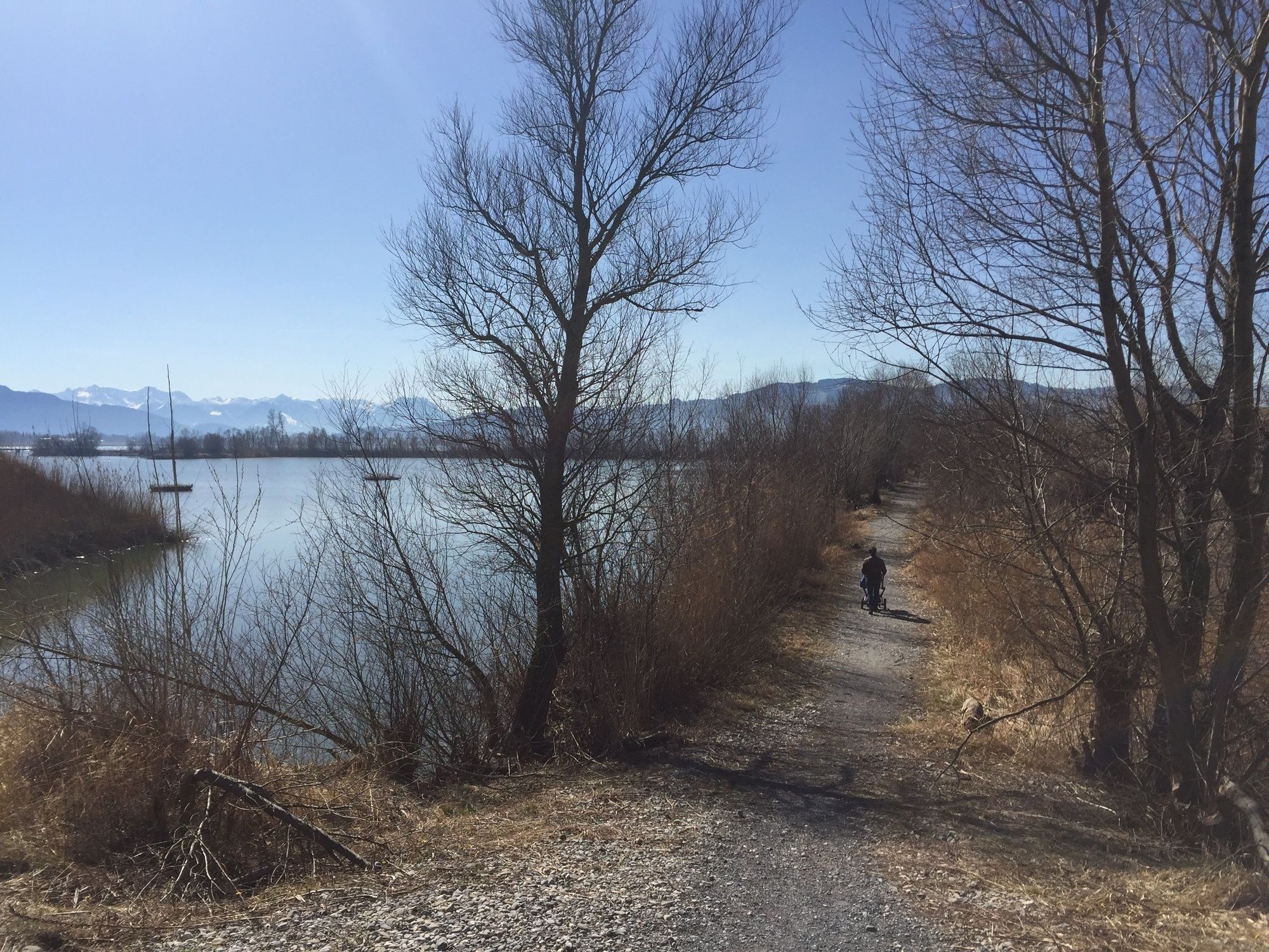
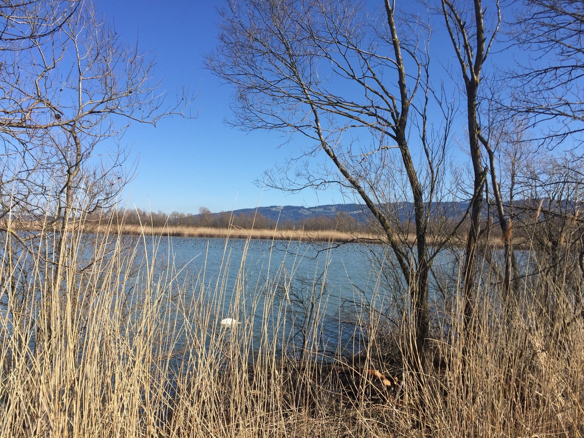
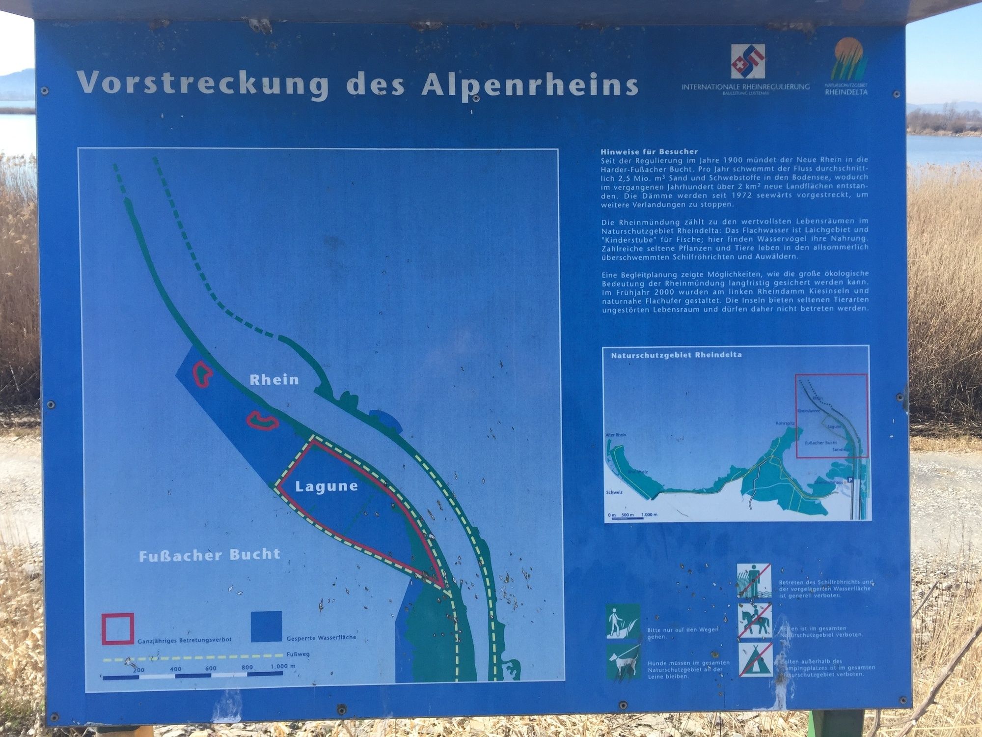
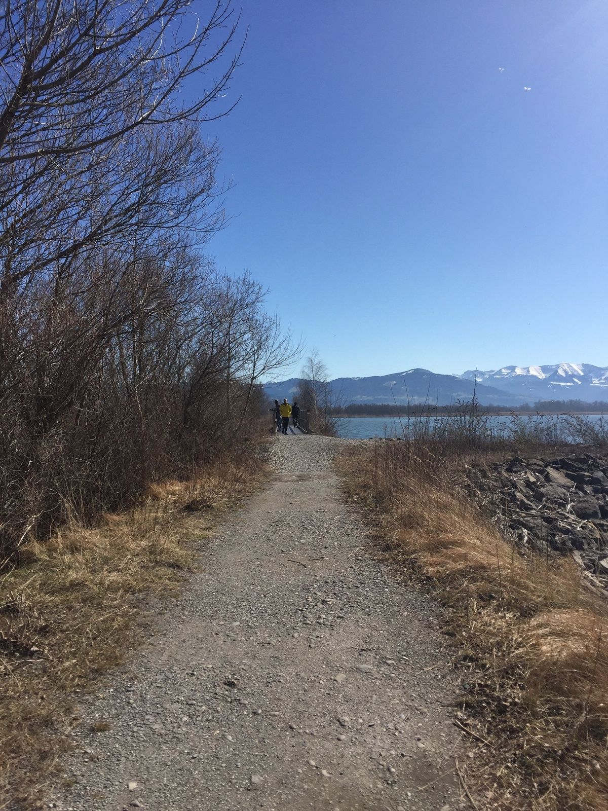
Da im Rheindelta das ganze Bodenseeufer unter Naturschutz steht, blieb hier vielen Vogelarten ein wertvoller Lebensraum erhalten. Wie sehr die Lagune und die Buchten nahe der Rheinmündung auch von Zugvögeln als Rastgebiet genutzt werden, sieht man besonders zwischen Spätsommer und Frühling.
- Difficulté
-
facile
- Évaluation
-
- Meilleure saison
-
janv.févr.marsavrilmaijuinjuil.aoûtsept.oct.nov.déc.
- Hauteur maximale
- 399 m
- Point de mire
-
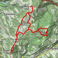
Fußach, In der Schanz
- Profil en hauteur
-

- Auteur
-
La randonnée Lagoon circular walk at the mouth of the Rhine est utilisé par outdooractive.com fourni par.
GPS Downloads


Informations générales
Flore
Faune
Prometteur
Autres parcours dans les régions
-
St. Gallen - Bodensee
2067
-
Bodensee - Vorarlberg
1317
-
Fußach
264