

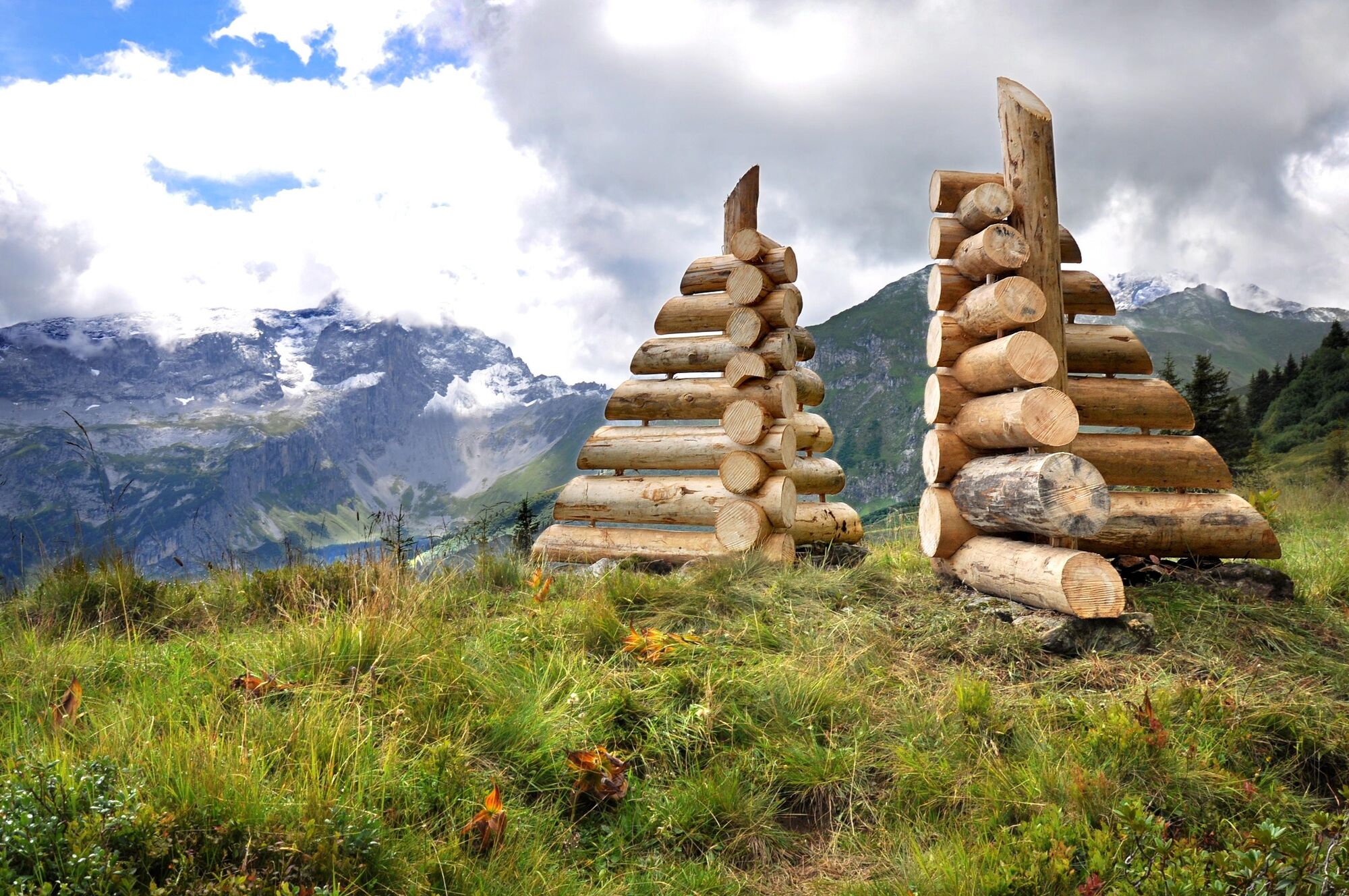
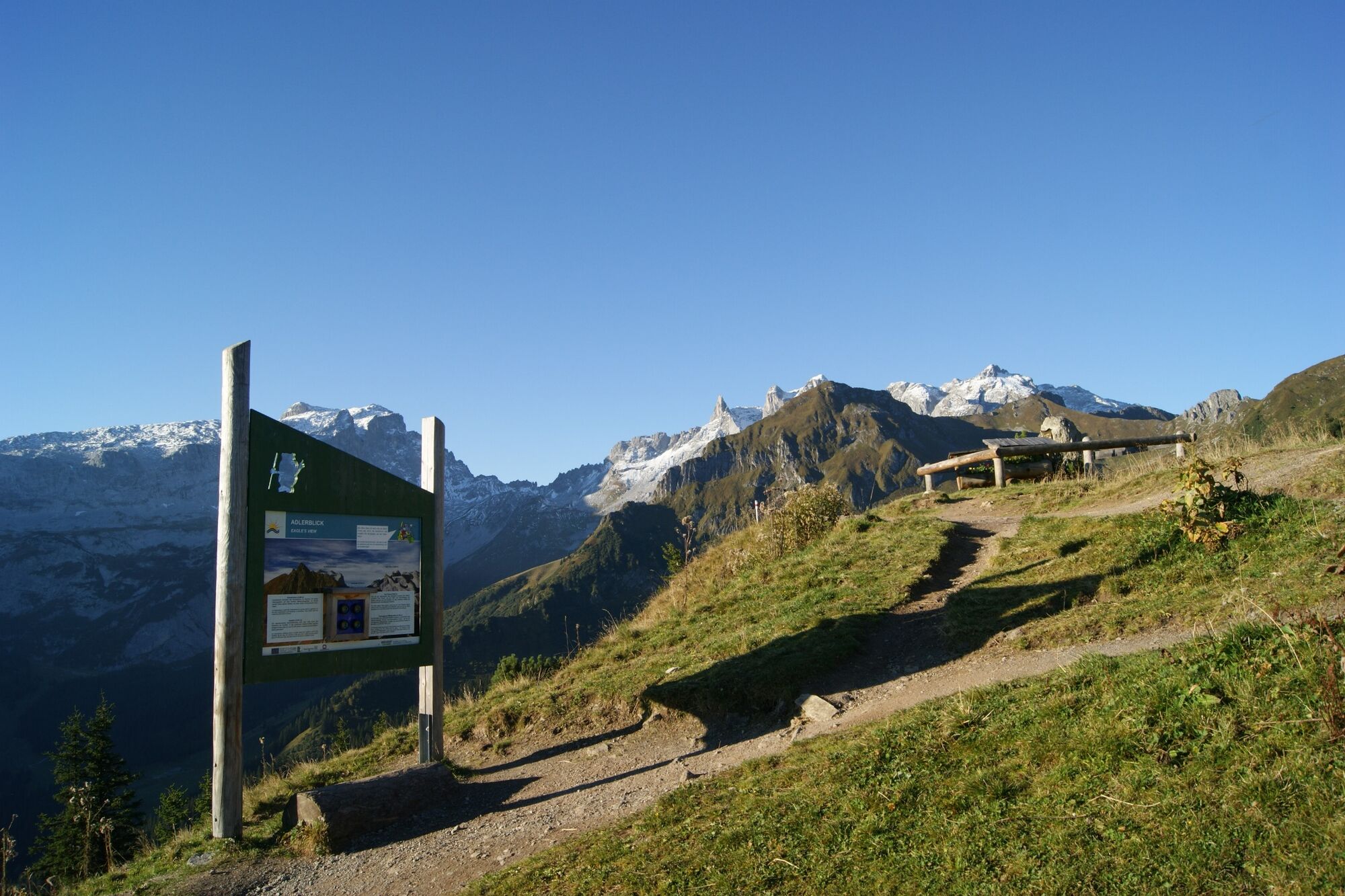
© Montafon Tourismus_(c)_Roland Fritsch - Christina Wachter

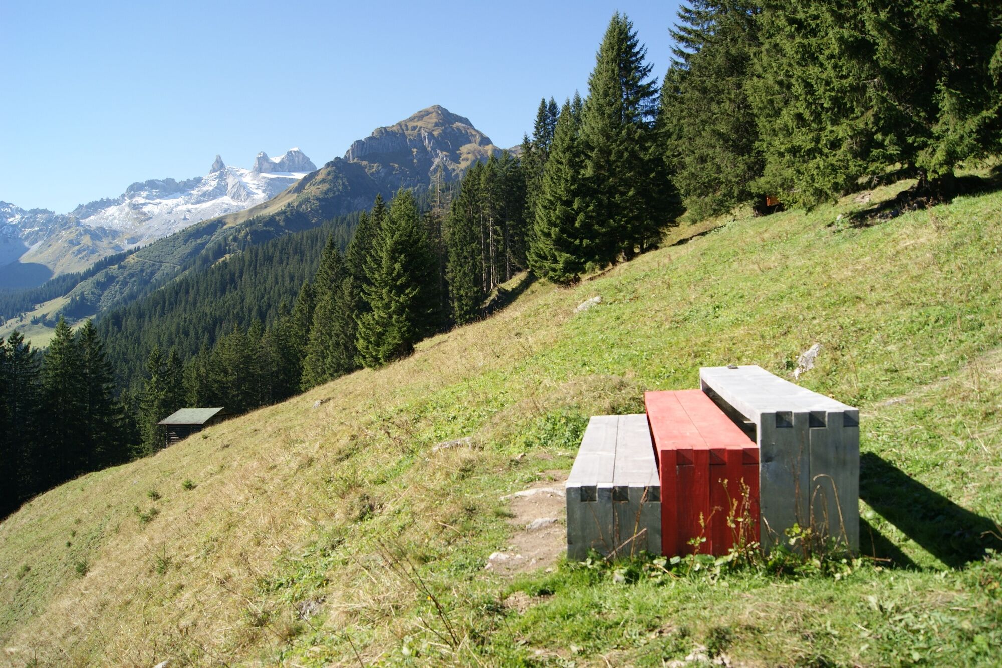
© Montafon Tourismus GmbH_Roland Fritsch - Christina Wachter

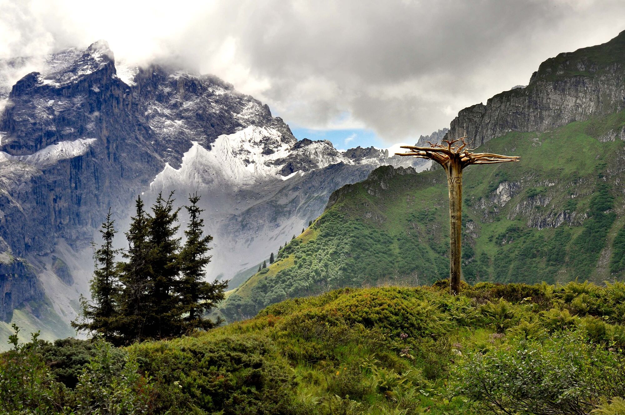
© Montafon - Ines Agostinelli & Roland Haas

© Ines Agostinelli & Roland Haas - Christina Wachter

© Montafon

© Montafon - Ines Agostinelli & Roland Haas

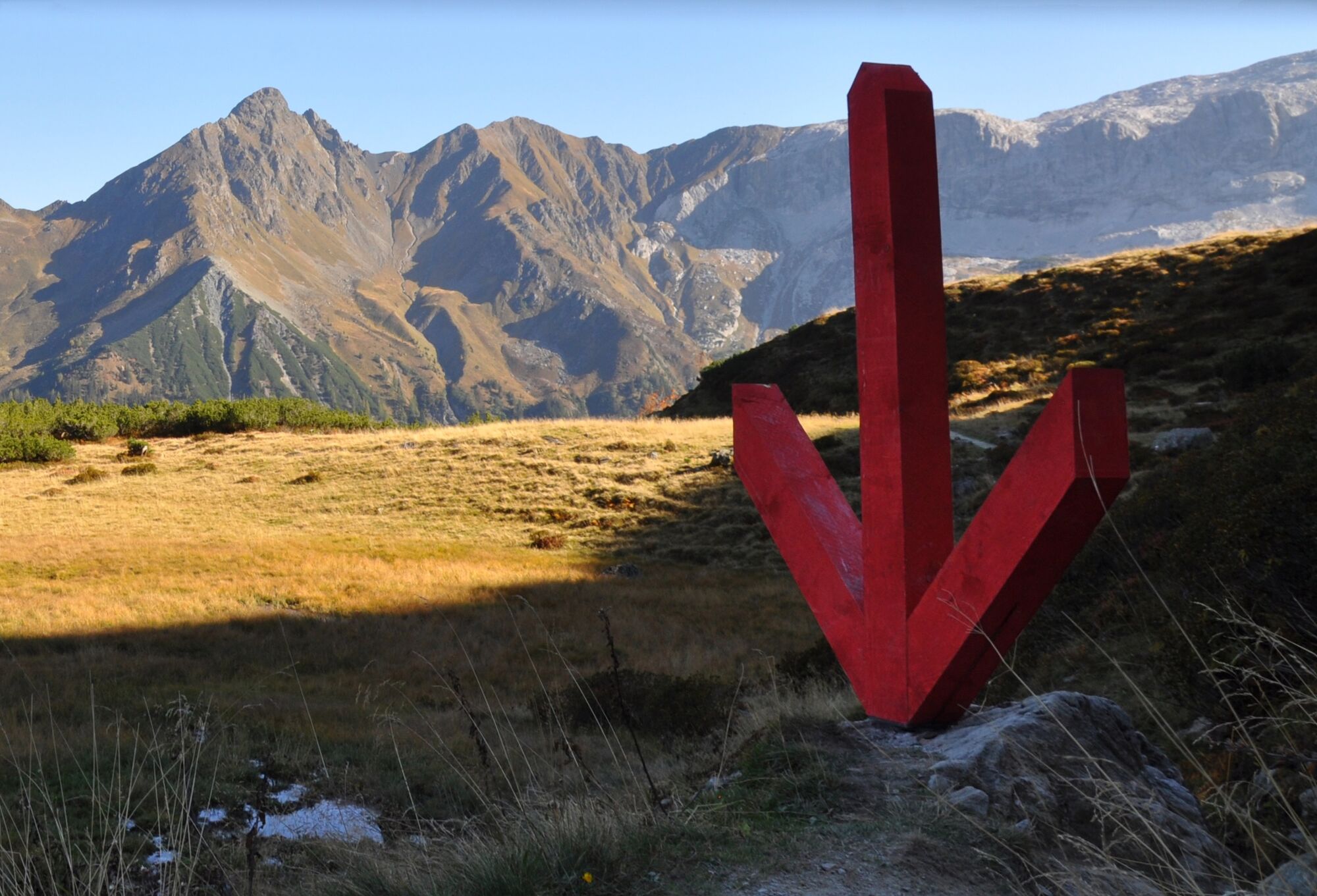
© www.kfm.at - Christina Wachter

© Ines Agostinelli & Roland Haas - Christina Wachter

© Montafon Tourismus GmbH_Roland Fritsch - Christina Wachter

© Montafon Tourismus GmbH_Roland Fritsch - Christina Wachter

- Brève description
-
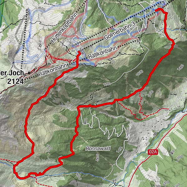
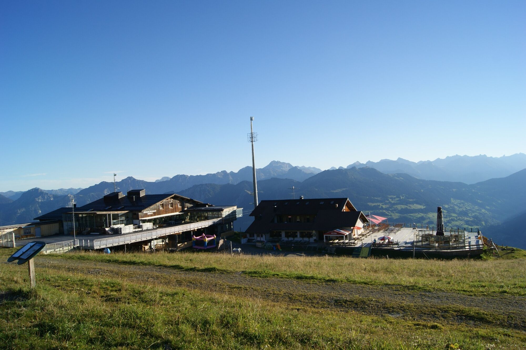
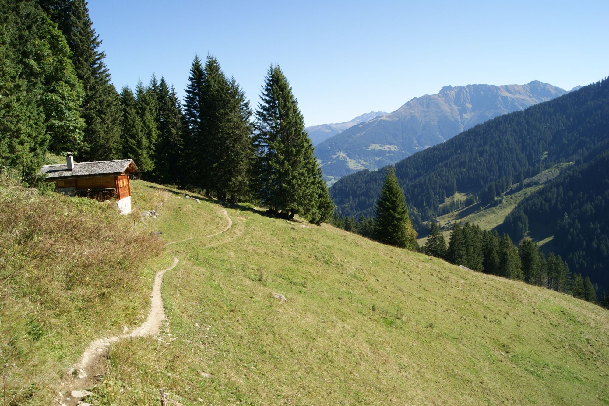
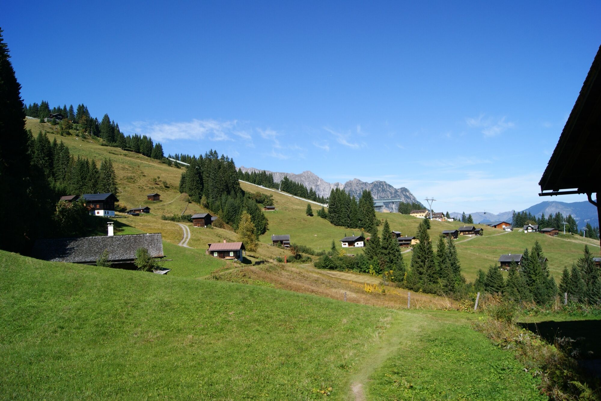
Bergstation Golmerbahn Grüneck - Latschätzalpe - Wachters Dieja - Plazadels - Mittelstation Golmerbahn Matschwitz
- Difficulté
-
moyen
- Évaluation
-
- Parcours
-
Berghof Golm0,0 kmObere Latschätzalpe2,7 kmWachters Dieja4,5 kmPlazadels5,1 kmHaus Matschwitz6,5 km
- Meilleure saison
-
janv.févr.marsavrilmaijuinjuil.aoûtsept.oct.nov.déc.
- Hauteur maximale
- 1.923 m
- Point de mire
-
Mittelstation Golmerbahn, Matschwitz
- Profil en hauteur
-


-

-
AuteurLa randonnée Latschätzalpe - Wachters Dieja est utilisé par outdooractive.com fourni par.
GPS Downloads


Informations générales
Point de rassemblement
Prometteur
Autres parcours dans les régions
-
Montafon
1382
-
Golm im Montafon
568


